The 6 Most Amazing Peaks around Oberickelsheim
Best mountain peaks around Oberickelsheim are found within Middle Franconia, a region characterized by rolling hills and scenic landscapes rather than dramatic mountainous terrain. The area offers elevated points and hiking trails that provide views and natural experiences. These locations are suitable for various fitness levels, with accessible paths leading through picturesque landscapes and past historical sites. Exploring these elevated points allows visitors to experience the natural beauty of the region.
Best mountain peaks around Oberickelsheim
- The most popular mountain…
Last updated: June 26, 2026
Hohenlandsberg Castle Ruins
Highlight • Castle
Translated by Google •
Tip by

Scheinberg Summit
Highlight • Summit
Translated by Google •
Tip by

Sign up now to discover places like this
Get recommendations on the best single tracks, peaks, & plenty of other exciting outdoor places.
Sign up for free
Tannenberg Cross and Viewpoint (Hüttenheim)
Highlight • Viewpoint
Translated by Google •
Tip by

Segnitzer Spitze
Highlight • Viewpoint
Translated by Google •
Tip by
Tannenberg Plateau (382 m)
Highlight • Summit
Translated by Google •
Tip by

Sign up for free to discover even more peaks around Oberickelsheim.
Sign up for free
Already have an account?
Start today with a free account
Your next adventure awaits.
Login or Signup

Tips from the Community

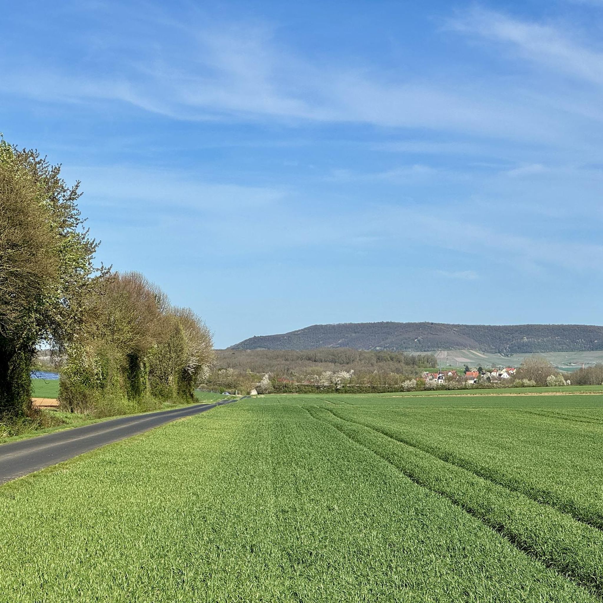
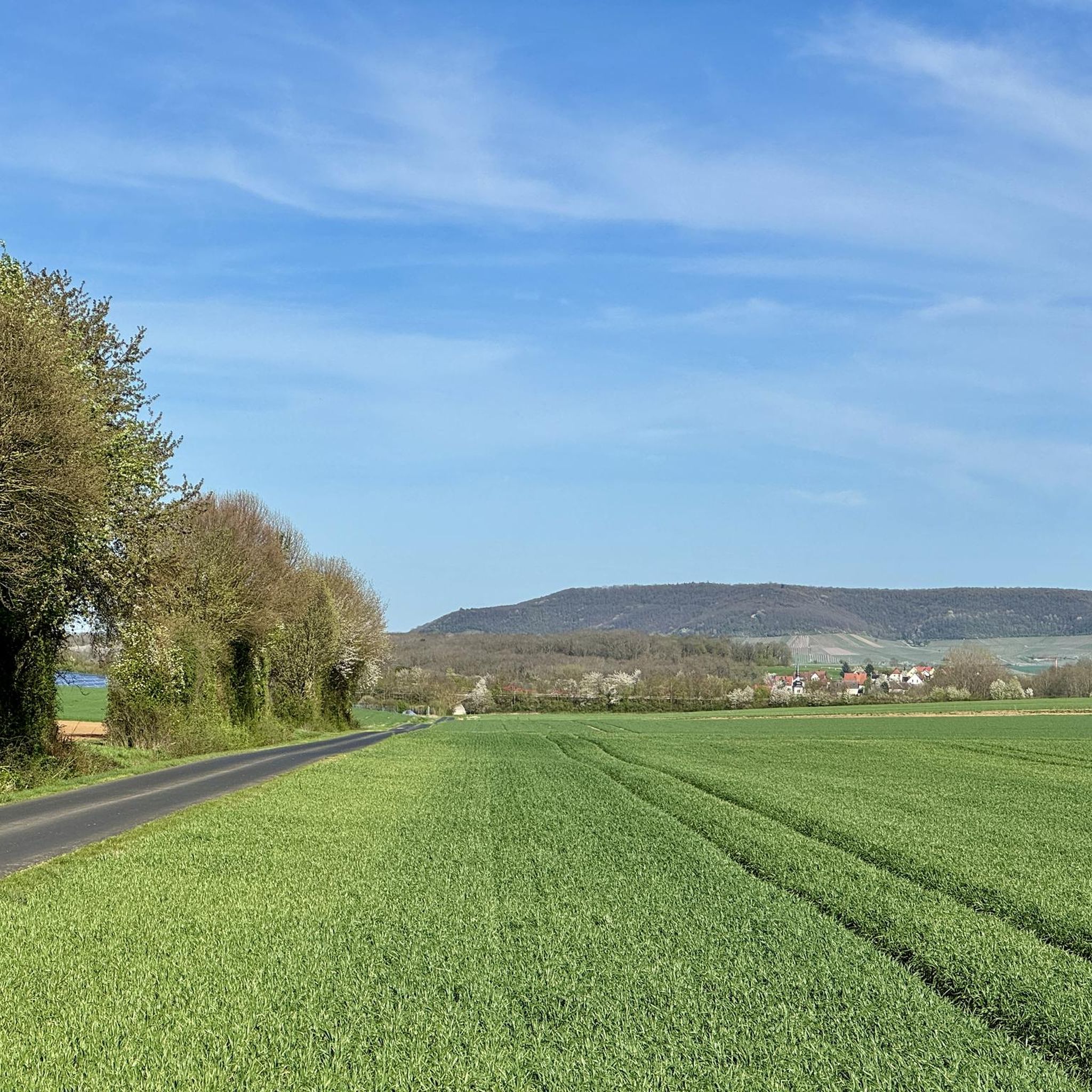
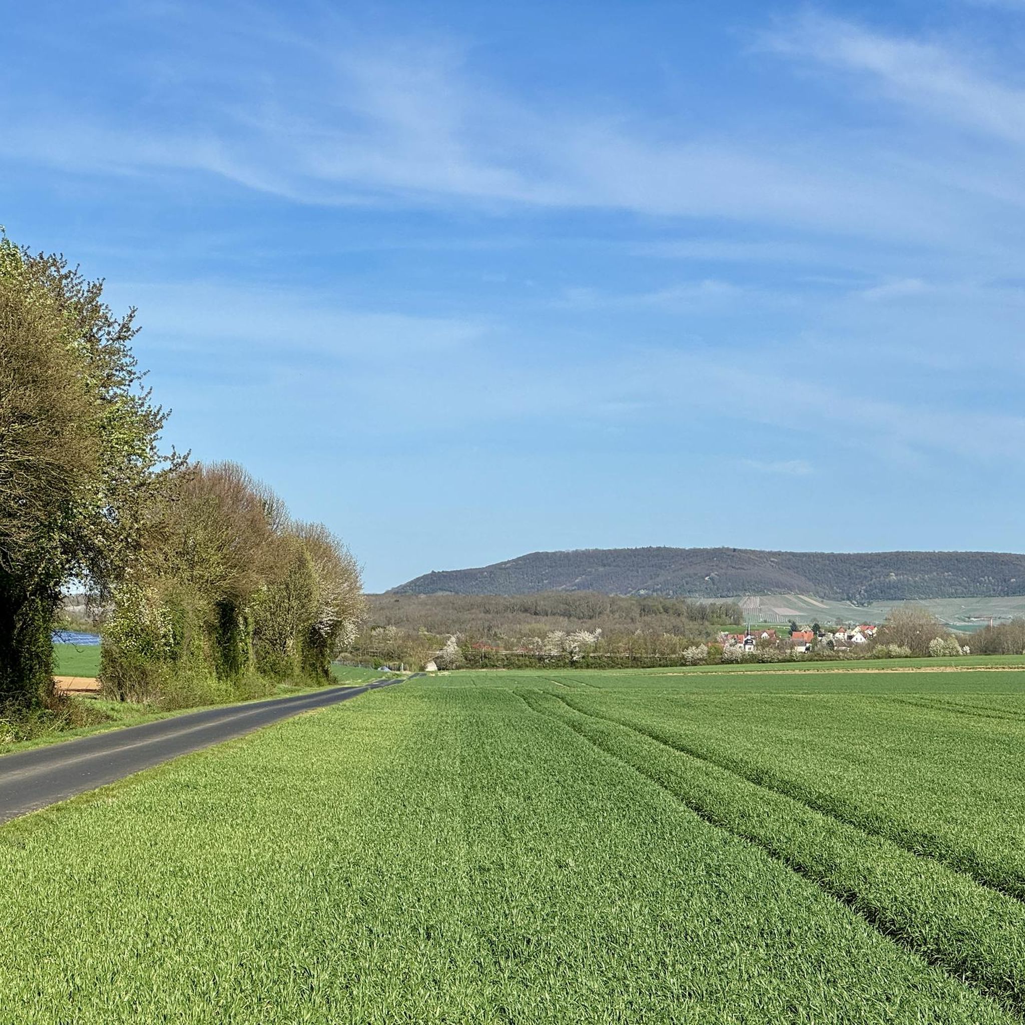
On the Tannenberg plateau, you are rewarded with a magnificent panorama.
3
0

Nestled in the idyllic setting of the Tannenberg hill, Hüttenheim wines are cultivated on approximately 75 hectares of vineyards. The unique microclimate and the characteristic gypsum marl soil guarantee expressive and rich wines. The winegrowing tradition here dates back to 1199. Wine was once stored in the cellars of the imposing fortified church complex in Hüttenheim.
3
0

The plateau on the Tannenberg at 382 meters
0
0
After all, the highest mountain in the Steigerwald with almost 498.5 m
3
0

Couldn't read what was written on the tree board
0
0

At 498m, the Scheinberg is the highest elevation in the Steigerwald. Unfortunately, there is simply nothing there.
8
0

The Hohenlandsberg castle ruins are the remnants of the former Hohenlandsberg castle. The castle was built in the 13th century. built. During the Peasants' War in 1525, the castle was taken unscathed by the farmers. In 1554 the castle was destroyed. Today you can enter the castle complex through a tunnel and view the ramparts, foundation walls and the entrances to the casemates.
12
0
Frequently Asked Questions
What kind of elevated points or 'mountain peaks' can I expect around Oberickelsheim?
The region around Oberickelsheim, located in Middle Franconia, is characterized by rolling hills and scenic landscapes rather than dramatic mountainous terrain. You'll find elevated points that offer beautiful views and natural experiences, often featuring historical sites or panoramic vistas. These are suitable for various fitness levels.
Which elevated points offer the best views around Oberickelsheim?
For panoramic views, consider visiting Tannenberg Cross and Viewpoint (Hüttenheim). At this location, you are rewarded with a magnificent panoramic view, especially at the cross for German reunification. Another option is Hohenlandsberg Castle Ruins, which offers views from its 498-meter high position.
Are there any historical sites among the elevated points near Oberickelsheim?
Yes, the Hohenlandsberg Castle Ruins are a significant historical site. These are the remnants of a hilltop castle on the 498-meter high Hohenlandsberg. Visitors can explore the foundations of the fortress ramparts and well-preserved casemates, with its history dating back to the 12th century.
What is the highest point in the Steigerwald near Oberickelsheim?
The highest elevation in the Steigerwald is the Scheinberg Summit, reaching 498 meters. While it offers a challenge for hikers and mountain bikers, be aware that there isn't a dedicated viewing point at the very top.
Are there family-friendly elevated points or trails around Oberickelsheim?
Many of the elevated points and trails in the region are suitable for families. For instance, both the Hohenlandsberg Castle Ruins and Tannenberg Cross and Viewpoint (Hüttenheim) are categorized as family-friendly, offering accessible paths and interesting features for all ages.
What outdoor activities can I do near these elevated points?
The area around Oberickelsheim is excellent for hiking and cycling. You can find numerous routes, from easy strolls to more challenging rides. For hiking, explore options like the 'Gnodstadt Village Fountain – Brauerei Düll loop' or the 'Hiking loop from Gollhofen'. For cycling, routes like the 'Old Town Ochsenfurt – Malerwinkel House in Marktbreit loop' are popular. You can find more details on these activities in our guides for Easy hikes around Oberickelsheim and Cycling around Oberickelsheim.
Are there challenging routes for experienced hikers or mountain bikers?
While the region is known for rolling hills, some elevated points offer a good challenge. The ascent to the Tannenberg Cross and Viewpoint (Hüttenheim) can be quite crisp over a short path. The Scheinberg Summit is also noted as a challenge for those looking to explore the area by foot or mountain bike.
What do visitors enjoy most about the elevated points around Oberickelsheim?
Visitors frequently appreciate the natural beauty, the well-maintained paths, and the scenic views. The opportunity to explore historical sites like the Hohenlandsberg Castle Ruins and the panoramic vistas from spots like Tannenberg Cross and Viewpoint (Hüttenheim) are highly rated experiences.
Is there an elevated point near Oberickelsheim that is less known but still worth visiting?
The Segnitzer Spitze, an elevation of 279 meters in Lower Franconia, offers a pleasant walk through the Segnitzer forest. It's located right next to the highway and features an ancient picture oak, providing a unique natural landmark.
Can I find routes for road cycling near these elevated points?
Yes, the region offers various road cycling routes. You can explore options like the 'Painter's Corner in Marktbreit – View of Marktbreit loop' or the 'Aub Market Square – Aub Castle loop'. More routes are available in our guide for Road Cycling Routes around Oberickelsheim.
What are the typical terrains like on trails leading to these elevated points?
The trails often lead through picturesque landscapes, including forests and open areas. You can expect a mix of well-maintained paths, some with stick and stone sections, and varying elevation changes suitable for different fitness levels. For example, the Segnitzer forest offers a wonderful walk with ups and downs.
Most popular routes around Oberickelsheim
Most popular attractions around Oberickelsheim

Get inspired with the komoot mobile app


Explore more
See even more amazing summits around Oberickelsheim with these guides:
