The 8 Most Amazing Peaks around Gemmingen
Best mountain peaks around Gemmingen are primarily elevated points and hills within the Heilbronn district of Baden-Württemberg. The town of Gemmingen itself has an elevation of 212 meters, indicating a gently rolling terrain. While not home to prominent mountain ranges, the region offers several notable summits and viewpoints. These elevated areas provide opportunities for hiking and offer scenic views of the surrounding landscape.
Best mountain peaks around Gemmingen
- The most popular mountain peaks is St. Ottilien Chapel on the Ottilienberg…
Last updated: June 26, 2026
St. Ottilien Chapel on the Ottilienberg
Highlight • Religious Site
Showing Translation
Tip by

Heidelberg Summit (Highest Point of Heuchelberg, 336 m)
Highlight • Summit
Translated by Google •
Tip by

Sign up now to discover places like this
Get recommendations on the best single tracks, peaks, & plenty of other exciting outdoor places.
Sign up for free
Heuchelberg Summit (353 m)
Highlight • Summit
Translated by Google •
Tip by
Heuchelberg Summit Cross with Trail Register
Highlight • Summit
Translated by Google •
Tip by

Summit Cross Leingarten
Highlight • Summit
Translated by Google •
Tip by

Start today with a free account
Your next adventure awaits.
Login or Signup
Tips from the Community

Highest point
0
0

The way up to Ottilienberg leads along a small steep path.
11
0

Reachable via narrow single trail uphill
1
0
Here at the "summit cross" of the Heuchelberg, which is located directly on the side of the path, passing hikers can sign the hiking book.
12
0
Once a month - usually on the first Sunday of the month from 11 a.m. to 5 p.m. - the German Alpine Club, Eppingen district group, opens and manages the Ottilienberg tower.
19
1

This is a completely inconspicuous place... but you feel far away from any civilization... absolute peace... nature surrounds you...
2
0

The DAV Eppingen local group's hiking hut is currently open on the first Sunday of every month, whatever the weather.
10
0

The highest point on the Aspen/Heidelberg. Around the Aspen there is a pharmaceutical vision around Nordheim, Dürrenzimmern and Brackenheim
0
0
Frequently Asked Questions
What are the highest points or "peaks" in the Gemmingen area?
While Gemmingen itself is in a gently rolling terrain, the broader Heilbronn district features several elevated points. The highest natural point in the Heilbronn district is Reisberg at 397 meters (1,302 ft). Other notable elevations include Schweinsberg at 392 meters (1,286 ft) and Wartberg at 318 meters (1,043 ft). The Heuchelberg Summit (353 m) is also a significant elevation, though it was artificially created.
Are there any true mountains near Gemmingen, or are they mostly hills?
The elevated points around Gemmingen and within the immediate Heilbronn district are generally modest in height and are considered hills rather than prominent mountain peaks. For true mountain ranges, such as the Black Forest with peaks like the Feldberg (1,494 meters), you would need to venture further beyond the Gemmingen area.
What kind of landscape can I expect when visiting the elevated points around Gemmingen?
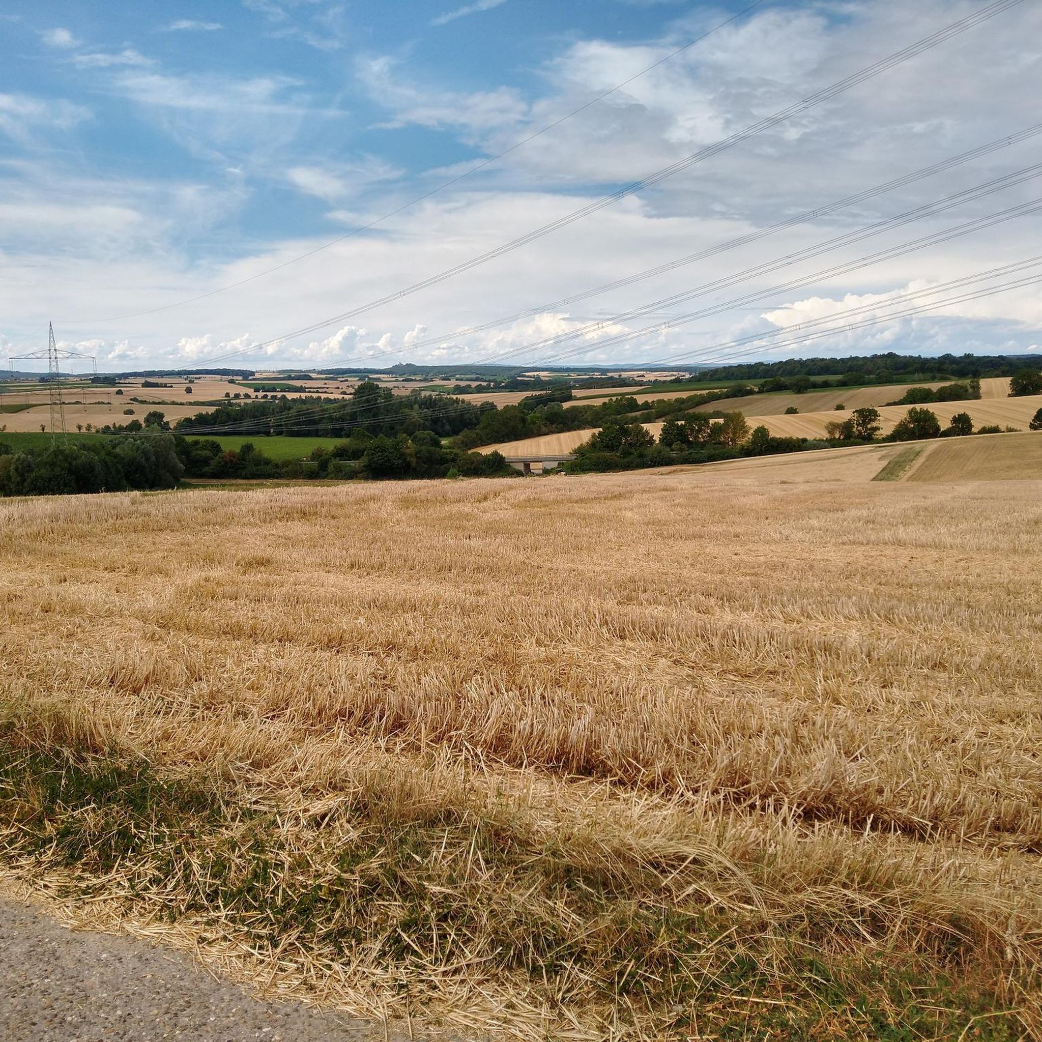
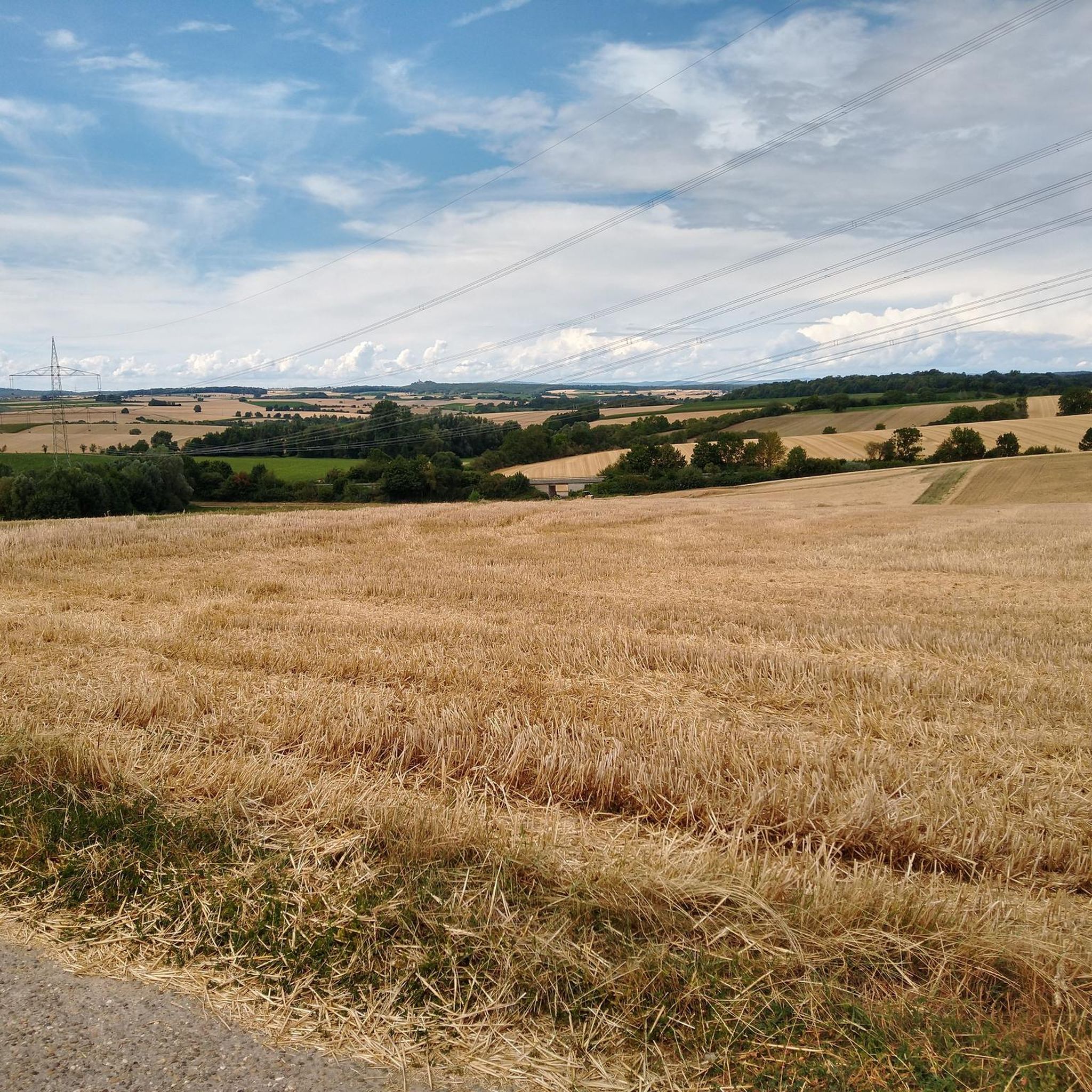
The landscape around Gemmingen's elevated points is characterized by gently rolling terrain, often covered in forests, vineyards, and agricultural land. You'll find a mix of natural hills and some artificially created summits, offering scenic views of the surrounding Kraichgau region.
Which elevated points offer good views around Gemmingen?
For scenic views, consider visiting the Heuchelberg Summit Cross with Trail Register, which provides a viewpoint. The Schweinsberg, though not listed as a highlight in this guide, is also known for the Schweinsberg Tower, offering panoramic views of the HeilbronnerLand.
Are there any historical or cultural sites on these elevated points?
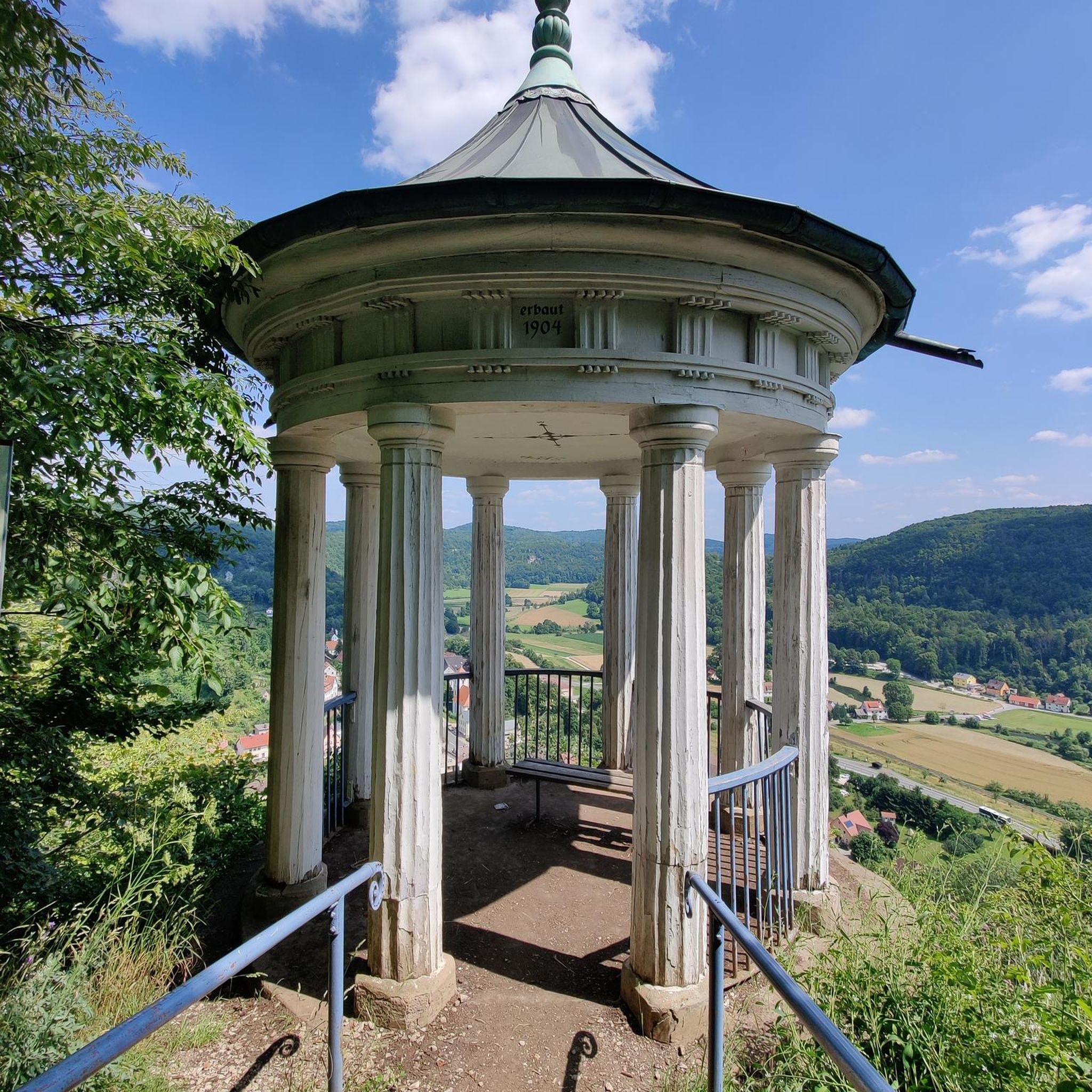
Yes, the St. Ottilien Chapel on the Ottilienberg is a significant historical and religious site. It's a 15th-century pilgrimage chapel that also features a hut and barbecue area. The Scheuerberg near Neckarsulm also has historical significance, having once been home to Scheuerberg Castle.
What is unique about the <a href="https://www.komoot.com/highlight/3830168" target="_blank" rel="noopener">Heuchelberg Summit (353 m)</a>?
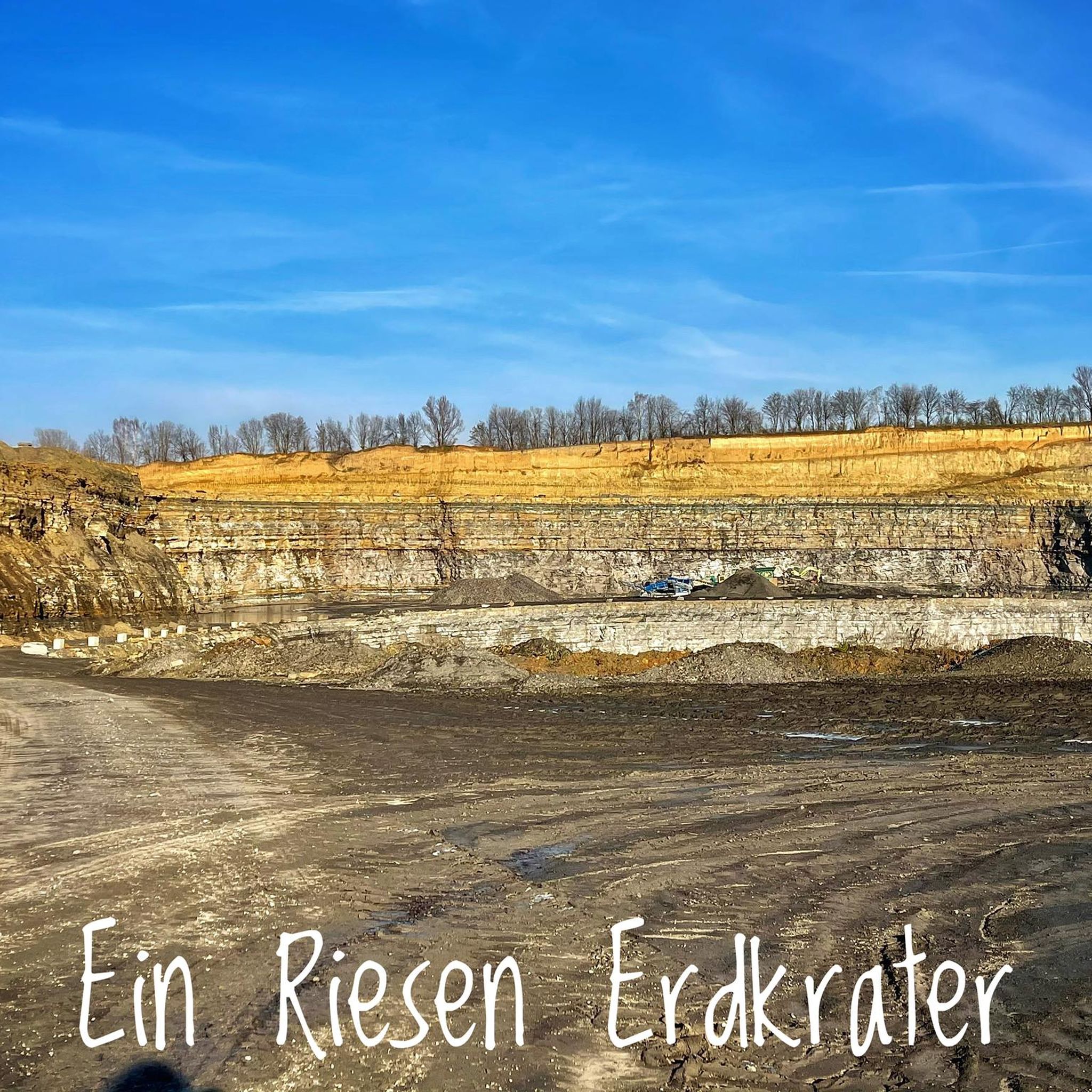
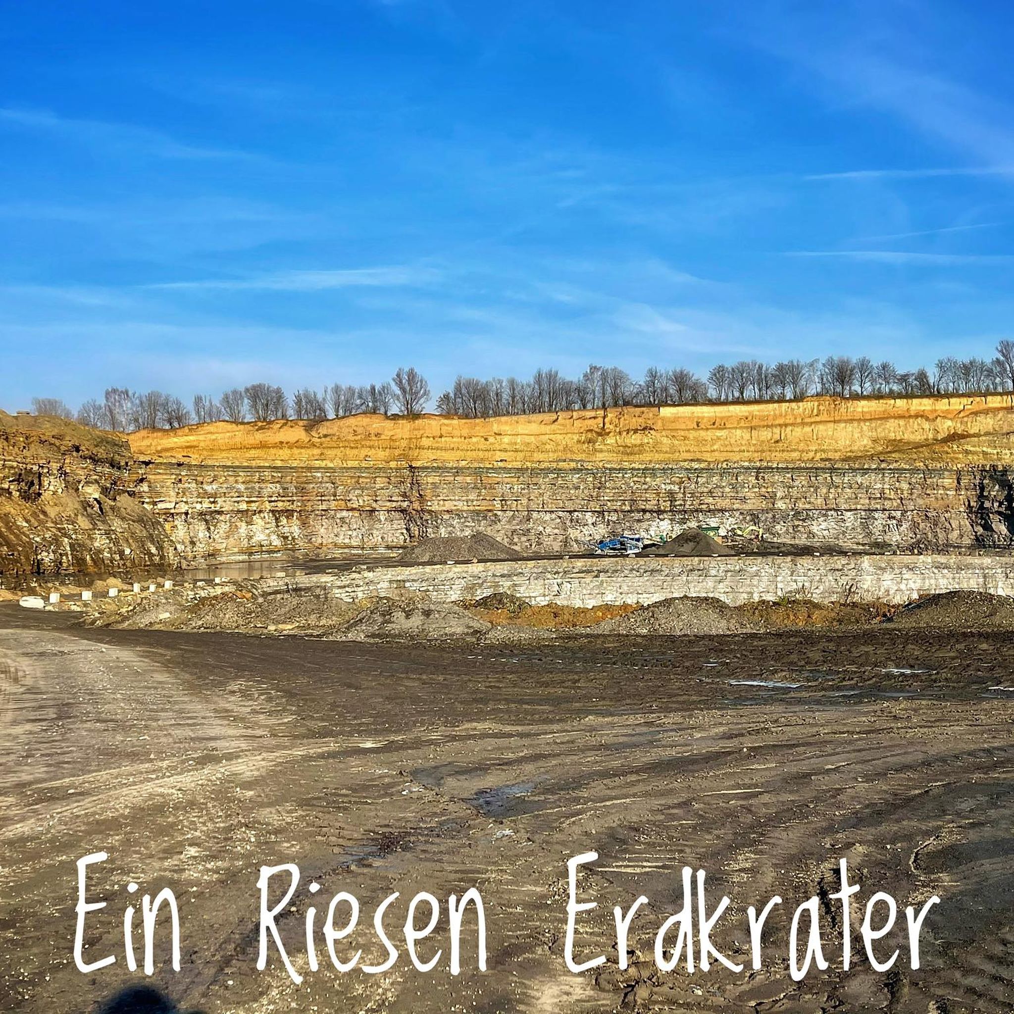
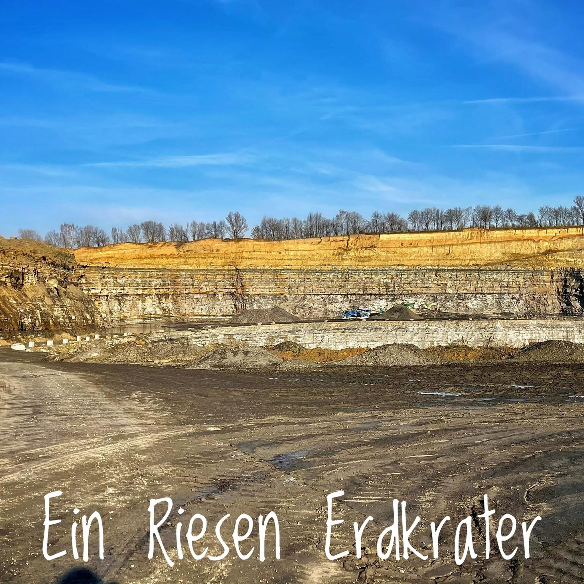
The Heuchelberg Summit (353 m) is unique because it is an 'artificially' created summit, formed from a landfill. It was once the site of a missile launch base. While the area has been recultivated and is now overgrown, an information board details its past as a former missile base.
Are there family-friendly activities or trails on the elevated points near Gemmingen?
Yes, the St. Ottilien Chapel on the Ottilienberg is considered family-friendly, offering a hut and barbecue area. Many of the trails around these elevated points are suitable for families, especially those looking for easy hikes. You can find more options in the Easy hikes around Gemmingen guide.
What outdoor activities can I do near these elevated points?
The area around Gemmingen's elevated points offers various outdoor activities. You can enjoy hiking on numerous trails, with options ranging from easy to moderate. Cycling is also popular, with routes that take you through the scenic countryside. For specific routes, explore the Easy hikes around Gemmingen, Cycling around Gemmingen, and Running Trails around Gemmingen guides.
Are there specific hiking trails that lead to these elevated points?
Many local hiking trails incorporate these elevated points. For instance, the Heuchelberg Summit Cross with Trail Register is located directly on a path, making it accessible during a hike. You can find detailed routes, including those to the Heidelberg Summit (Highest Point of Heuchelberg, 336 m), within the various hiking guides for the region.
What do visitors enjoy most about the elevated points around Gemmingen?
Visitors appreciate the opportunities for hiking and the scenic views these elevated points offer. The St. Ottilien Chapel on the Ottilienberg is particularly popular for its historical significance and amenities like a hut and barbecue area. The presence of summit crosses and trail registers, like at the Heuchelberg Summit Cross with Trail Register and Summit Cross Leingarten, also adds a unique touch for hikers.
Is there parking available near the trailheads for these elevated points?
Yes, many popular trailheads leading to these elevated points offer parking facilities. It is advisable to check specific route details on komoot for information on parking availability at the starting points of your chosen hike.
Can I access these elevated points using public transport?
While Gemmingen and the surrounding towns have public transport connections, direct access to all trailheads by public transport might be limited. Planning your route in advance and checking local bus schedules will help determine the best way to reach your desired starting point.
Are there any cafes or restaurants near the elevated points for refreshments?
The St. Ottilien Chapel on the Ottilienberg sometimes has its hut managed by the Heilbronn section of the Alpine Club, offering refreshments. In the nearby towns and villages, you will find various cafes, pubs, and restaurants to enjoy after your outdoor activities.
Most popular routes around Gemmingen
Most popular attractions around Gemmingen

Get inspired with the komoot mobile app


Explore more
See even more amazing summits around Gemmingen with these guides:
