The 5 Most Amazing Peaks around Güllesheim
Best mountain peaks around Güllesheim are found within the Rhine-Westerwald Nature Park, a region in Rhineland-Palatinate, Germany. Güllesheim itself is situated at 308 meters above sea level, surrounded by rolling hills, dense forests, and river valleys. The broader Westerwald region features gentle mountain peaks and varied landscapes suitable for hiking and exploration. The WesterwaldSteig, a long-distance hiking trail, traverses wide heights and idyllic valleys, offering extensive hiking experiences.
Best mountain peaks around Güllesheim
- The most popular mountain peaks is Bärenkopp…
Last updated: June 26, 2026
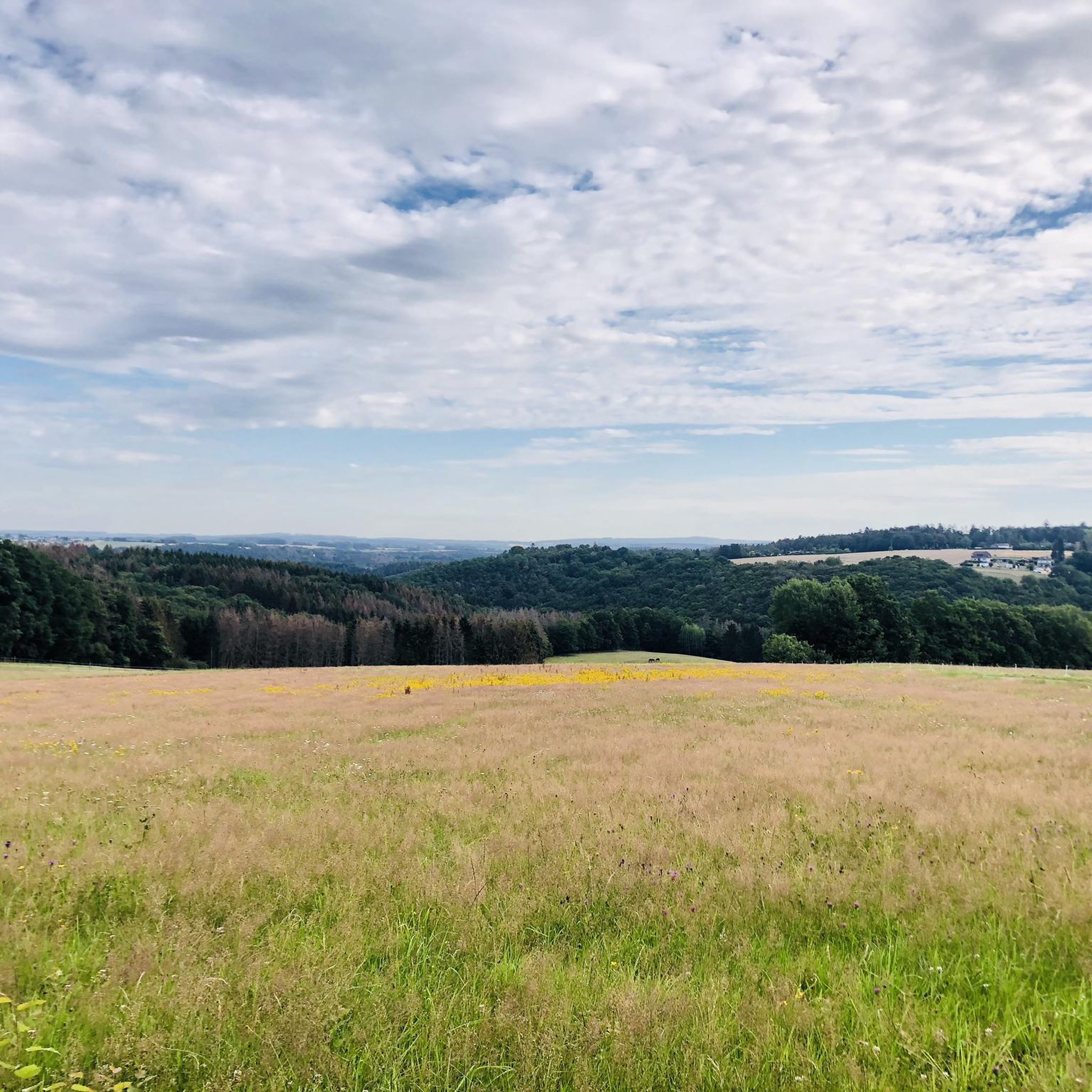
Bärenkopp summit cross – View of Waldbreitbach
Highlight • Summit
Translated by Google •
Tip by

WällerTour Bärenkopp
Highlight (Segment) • Trail
Translated by Google •
Tip by

Sign up now to discover places like this
Get recommendations on the best single tracks, peaks, & plenty of other exciting outdoor places.
Sign up for free
View from Roßbacher Häubchen
Highlight • Viewpoint
Translated by Google •
Tip by

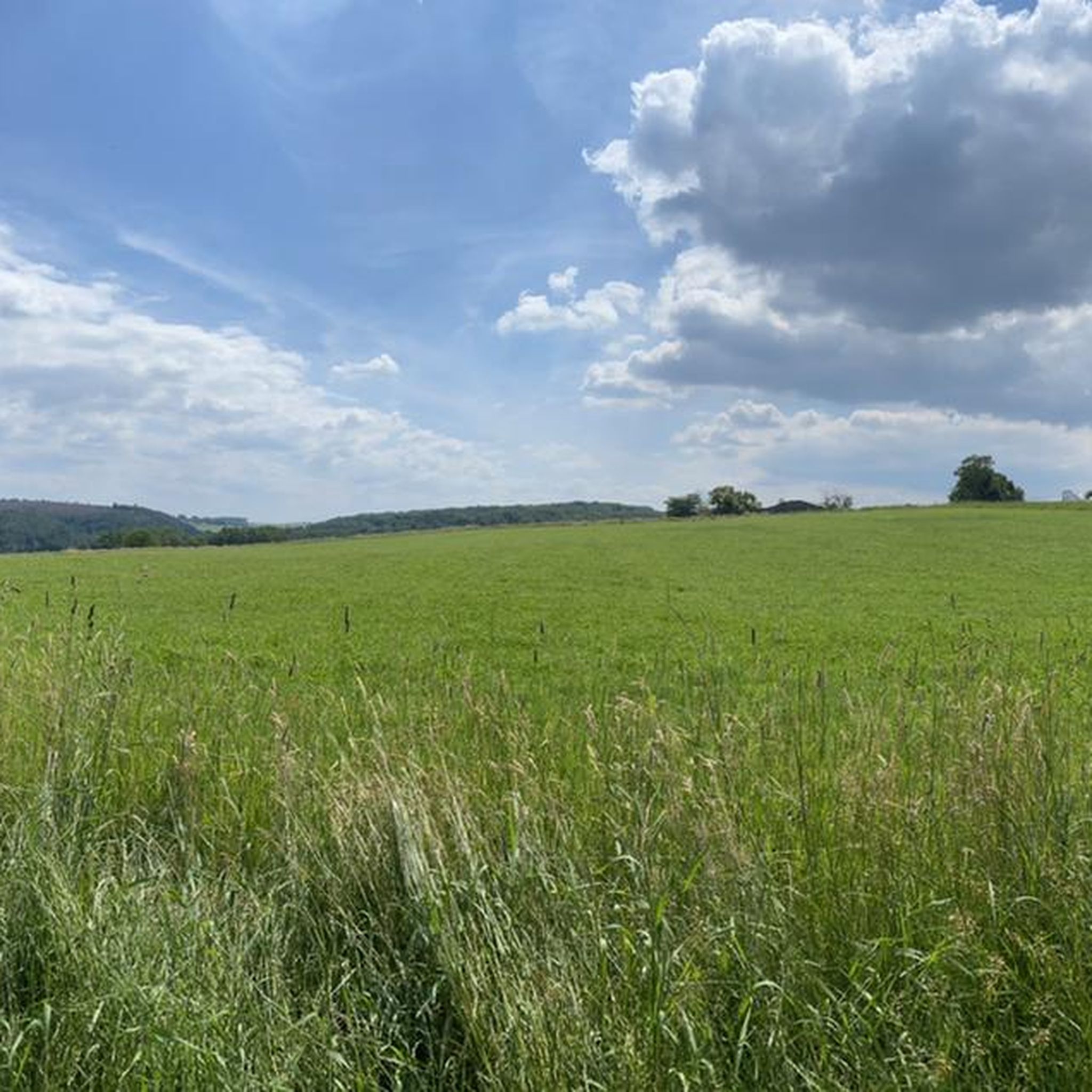
Dernbacher Kopf
Highlight • Summit
Translated by Google •
Tip by

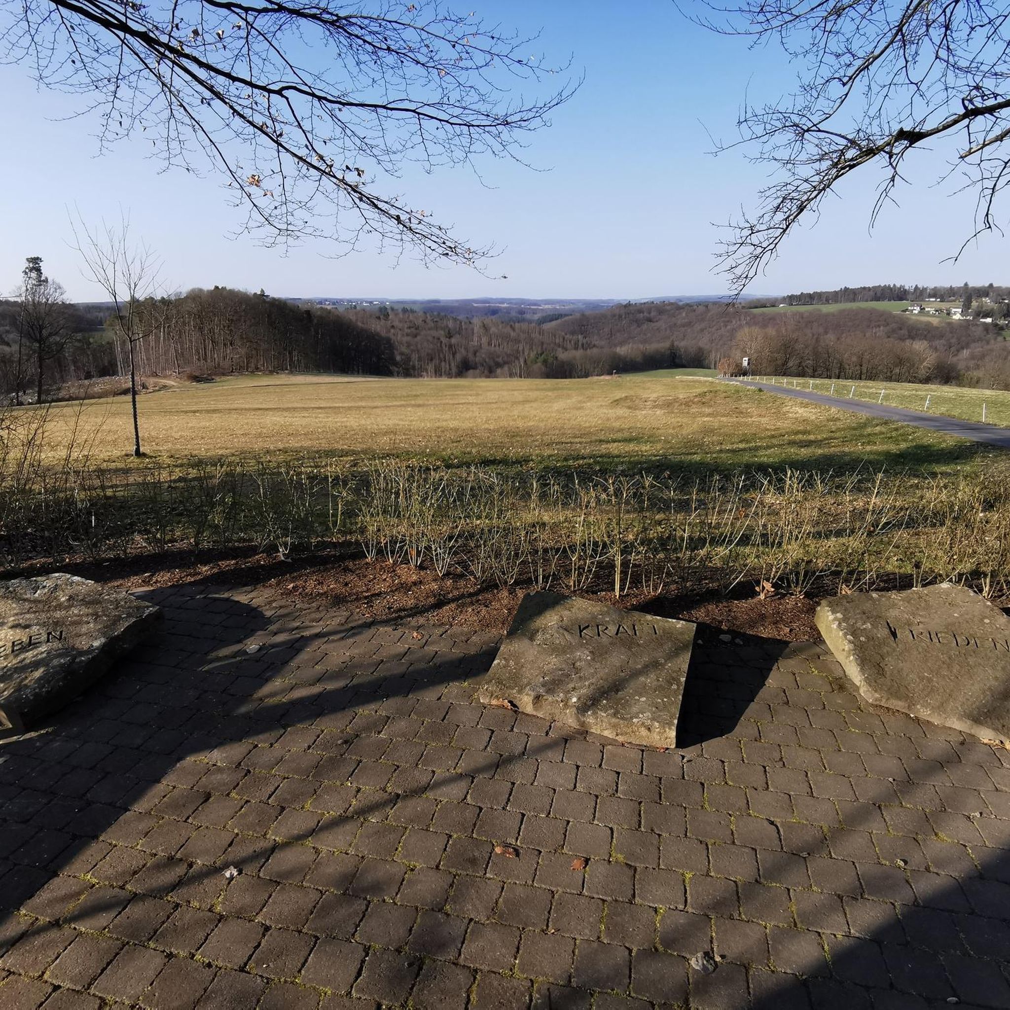
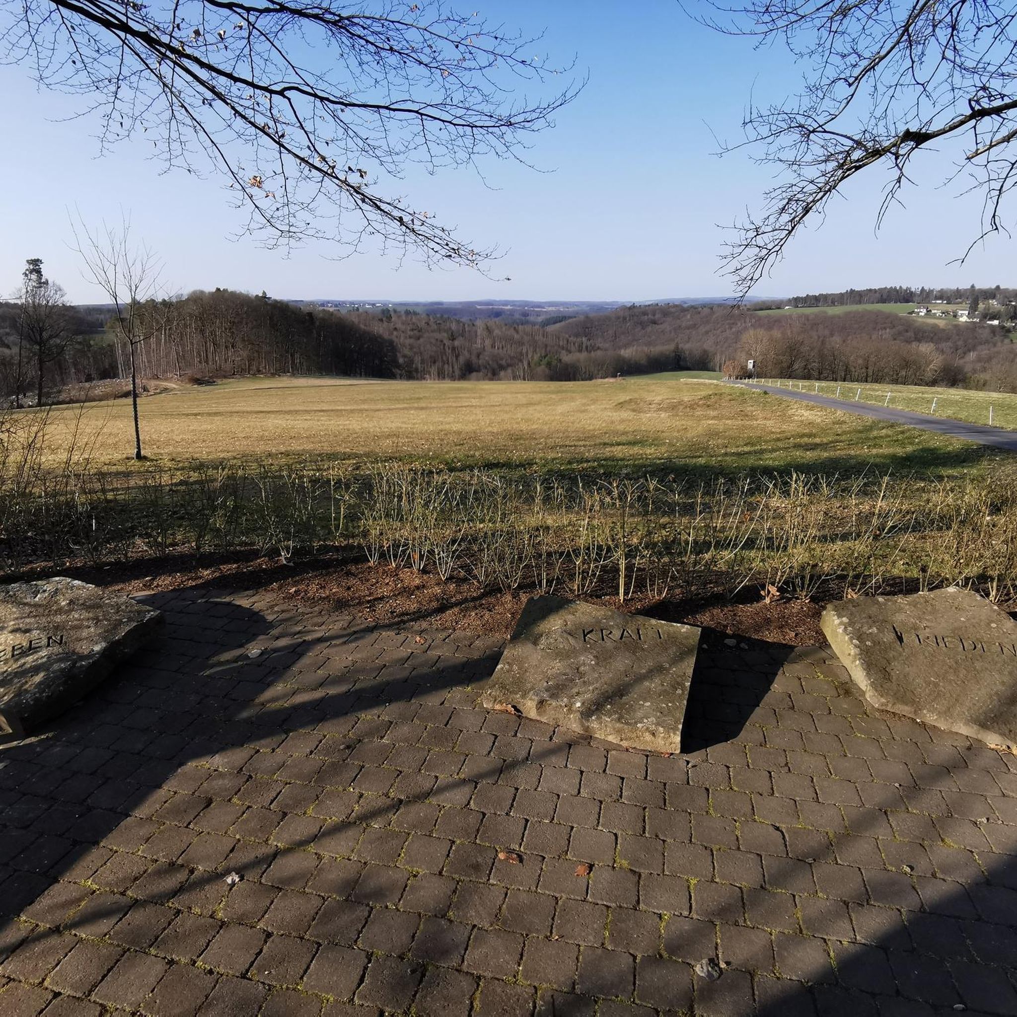
View from Bertenauer Kopf Shelter
Highlight • Viewpoint
Translated by Google •
Tip by

Start today with a free account
Your next adventure awaits.
Login or Signup
Tips from the Community

The Dernbacher Kopf is the second highest elevation in the Neuwied district. A visit to the summit stone is always worth a visit. The surrounding area offers beautiful views toward the Montabaurer Höhe or the Eifel Mountains.
0
0

Beautiful shelter with a great view.
3
0

This information is really helpful for who really needs this. I hope you will many more write post like this.. https://www-sunpass.com
0
0

The highest point on the Dernbacher Kopf. There is no great view from this point, but this spot is marked with a summit stone with an inscription.
0
0

The view extends as far as the Siebengebirge. At least you are well protected from rain if it is not too stormy.
1
0

There are two ways to the summit (Bärenkopp), I chose the steep route. A bit of a challenge, but I'm happy to have made it.
4
0

There is a refuge on the summit of the Bertenauer Kopf. When it's windy, there's a draft in the hut, at least on your head. From there you have a great view towards the Siebengebirge!
5
0
Frequently Asked Questions
What are some of the best mountain peaks and viewpoints to explore around Güllesheim?
The region around Güllesheim, within the Rhine-Westerwald Nature Park, offers several notable peaks and viewpoints. Highly recommended are the Bärenkopp summit cross – View of Waldbreitbach, which provides extensive views as far as the Siebengebirge, and the View from Bertenauer Kopf Shelter, another excellent spot for distant panoramas. For a higher elevation, consider Oernbacher Kopf (427 m), which is the highest point in its immediate area.
What kind of landscape can I expect when visiting the mountain peaks near Güllesheim?
The landscape around Güllesheim is characterized by gentle mountain peaks, rolling hills, dense forests, and romantic river valleys. You'll find a natural environment ideal for hiking and exploration, with many paths winding through woodlands and offering scenic views. The region is part of the Rhine-Westerwald Nature Park, emphasizing its natural beauty.
What do visitors particularly enjoy about the mountain peaks around Güllesheim?
Visitors frequently praise the fabulous panoramic views, especially from spots like the Bärenkopp summit cross, which offers views of Waldbreitbach and even the Siebengebirge. The well-marked hiking routes, such as the WällerTour Bärenkopp, are also highly appreciated for their rustic paths and enjoyable experiences. Many enjoy the tranquility and natural beauty of the forest trails.
Are there hiking trails near the mountain peaks around Güllesheim?
Yes, the region is excellent for hiking. The long-distance WesterwaldSteig trail traverses the broader Westerwald region, offering extensive hiking experiences. For local options, you can find numerous routes, including those leading to the peaks. Explore more options on the Hiking around Güllesheim guide, which includes routes like the Hölderstein via ferrata.
Are there easy or family-friendly hiking options among the peaks near Güllesheim?
While some trails can be challenging, there are definitely easier options suitable for families. The region's 'gentle mountain peaks' lend themselves to more accessible walks. For specific easy routes, you can check the Easy hikes around Güllesheim guide, which features routes like the Hufer Bachtal Restoration Area loop.
What is the best time of year to visit the mountain peaks around Güllesheim?
The best seasons for hiking and exploring the mountain peaks around Güllesheim are spring and autumn. During these times, the natural landscape is vibrant with colorful flower meadows or deciduous trees, and the air is often clear, providing excellent visibility for panoramic views.
Are there any historical or cultural points of interest near the mountain peaks?
While the focus is primarily on natural beauty, the region does have some interesting historical elements. For example, near the View from Bertenauer Kopf Shelter, you can find old foundations of a cable car that once transported basalt from nearby quarries. Additionally, exploring the villages in the area might reveal historic half-timbered houses.
What other outdoor activities can I do near these mountain peaks besides hiking?
Beyond hiking, the varied landscapes around Güllesheim are also suitable for mountain biking. You can find a range of routes for different skill levels. For more information on cycling opportunities, refer to the MTB Trails around Güllesheim guide.
Are there specific trails that lead to the Bärenkopp summit?
Yes, the WällerTour Bärenkopp is a well-marked circuit that offers two approaches to the Bärenkopp summit: a shorter, fairly steep option or a slightly longer, less steep path. Both provide access to the summit and its rewarding views.
Where can I find the highest point in the immediate Güllesheim area?
The Oernbacher Kopf (427 m) is recognized as the highest point in its immediate area around Güllesheim. It offers a sense of elevation within the rolling hills of the Westerwald.
Are there any shelters or resting spots available on the trails?
Yes, some viewpoints and peaks offer convenient resting spots. For instance, the View from Bertenauer Kopf Shelter provides a refuge where you can take a break and enjoy the distant views. The Bärenkopp summit cross also has a bench for resting.
Most popular routes around Güllesheim
Most popular attractions around Güllesheim

Get inspired with the komoot mobile app


Explore more
See even more amazing summits around Güllesheim with these guides:
