The 4 Most Amazing Peaks around Großweitzschen
Best mountain peaks around Großweitzschen are found within the Central Saxon Hill Country, a region characterized by gentle hills rather than traditional mountains. The highest elevations in this area reach approximately 261 meters above sea level, offering prominent viewpoints and historical sites. Großweitzschen provides opportunities for exploring its natural beauty along walking and cycling paths, particularly in the Freiberger Mulde river valley. Visitors can discover a landscape rich in cultural heritage and historical landmarks.
Best mountain peaks around Großweitzschen
- The…
Last updated: June 26, 2026
Wetterhöhe Summit Cross and Triangulation Station
Highlight • Summit
Translated by Google •
Tip by

Wachberg Tower
Highlight • Monument
Circular Hike 10
stadt-waldheim.de/portal/seiten/wander-und-radwege-rund-um-waldheim-900000100-26400.html
Translated by Google •
Tip by

Sign up now to discover places like this
Get recommendations on the best single tracks, peaks, & plenty of other exciting outdoor places.
Sign up for free
World War II Memorial at Alberthöhe
Highlight • Monument
Head southwest for the path to the Hufe 👍 refuge
Translated by Google •
Tip by

Eicherdthöhe
Highlight • Monument
Translated by Google •
Tip by
Lutherhöhe Viewpoint
Highlight • Viewpoint
Translated by Google •
Tip by

Sign up for free to discover even more peaks around Großweitzschen.
Sign up for free
Already have an account?
Start today with a free account
Your next adventure awaits.
Login or Signup
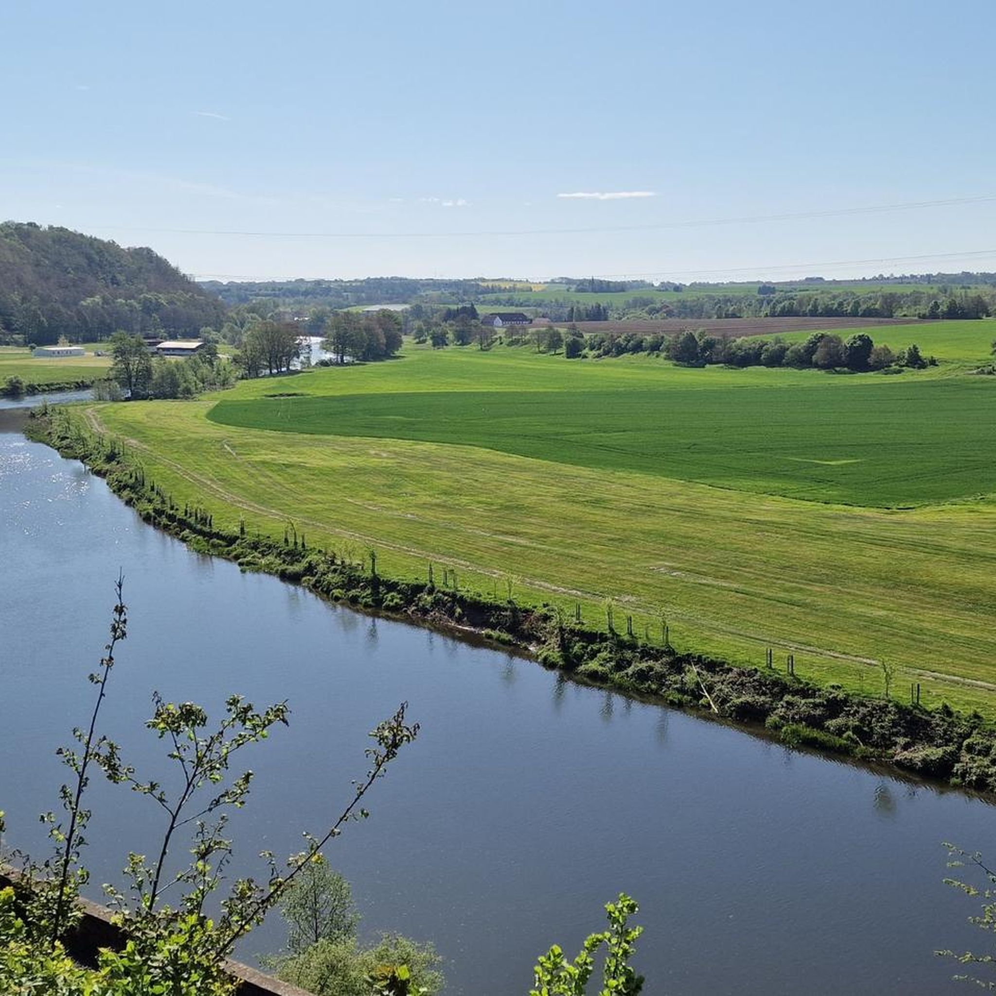
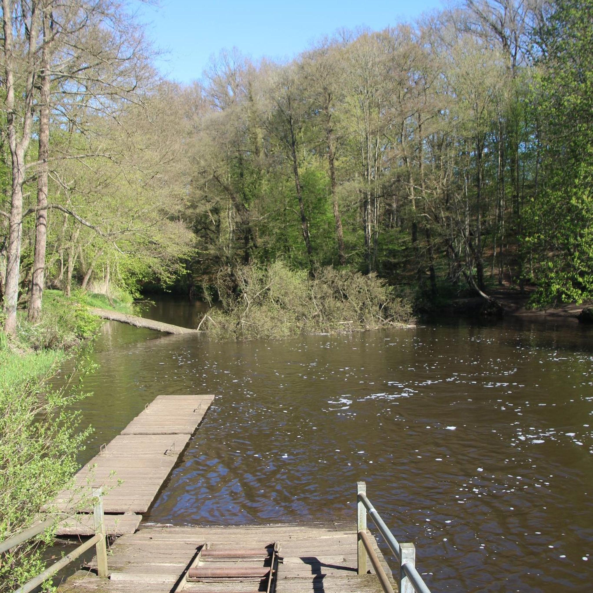
Tips from the Community

Very nicely done, well worth a visit.
0
0

For those who want to see lots of stars and enjoy a truly fantastic view of Waldheim, this short circular hike is perfect. Don't forget the Wachberg Tower key! Circular Hike 10 https://www.stadt-waldheim.de/portal/seiten/wander-und-radwege-rund-um-waldheim-900000100-26400.html
3
0

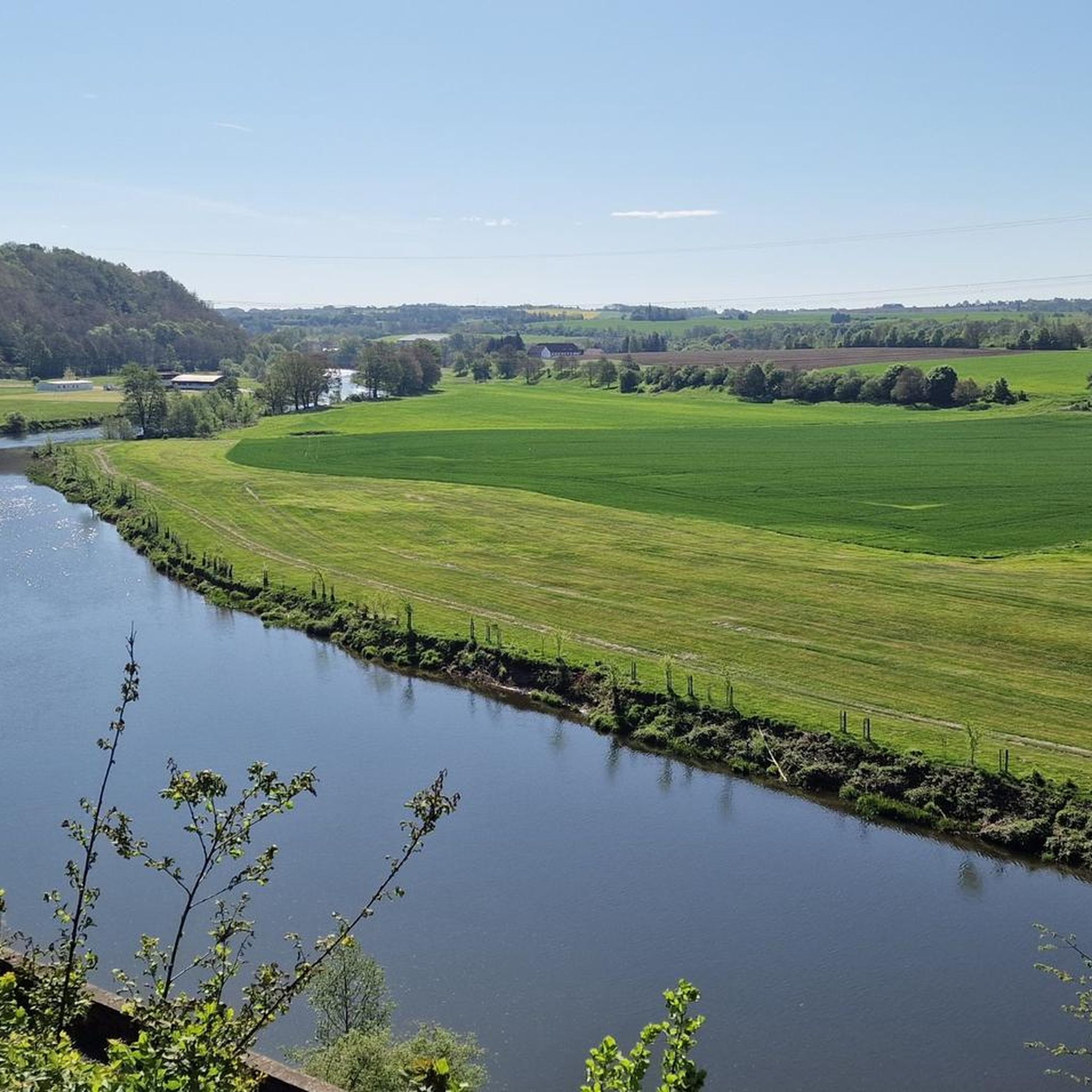
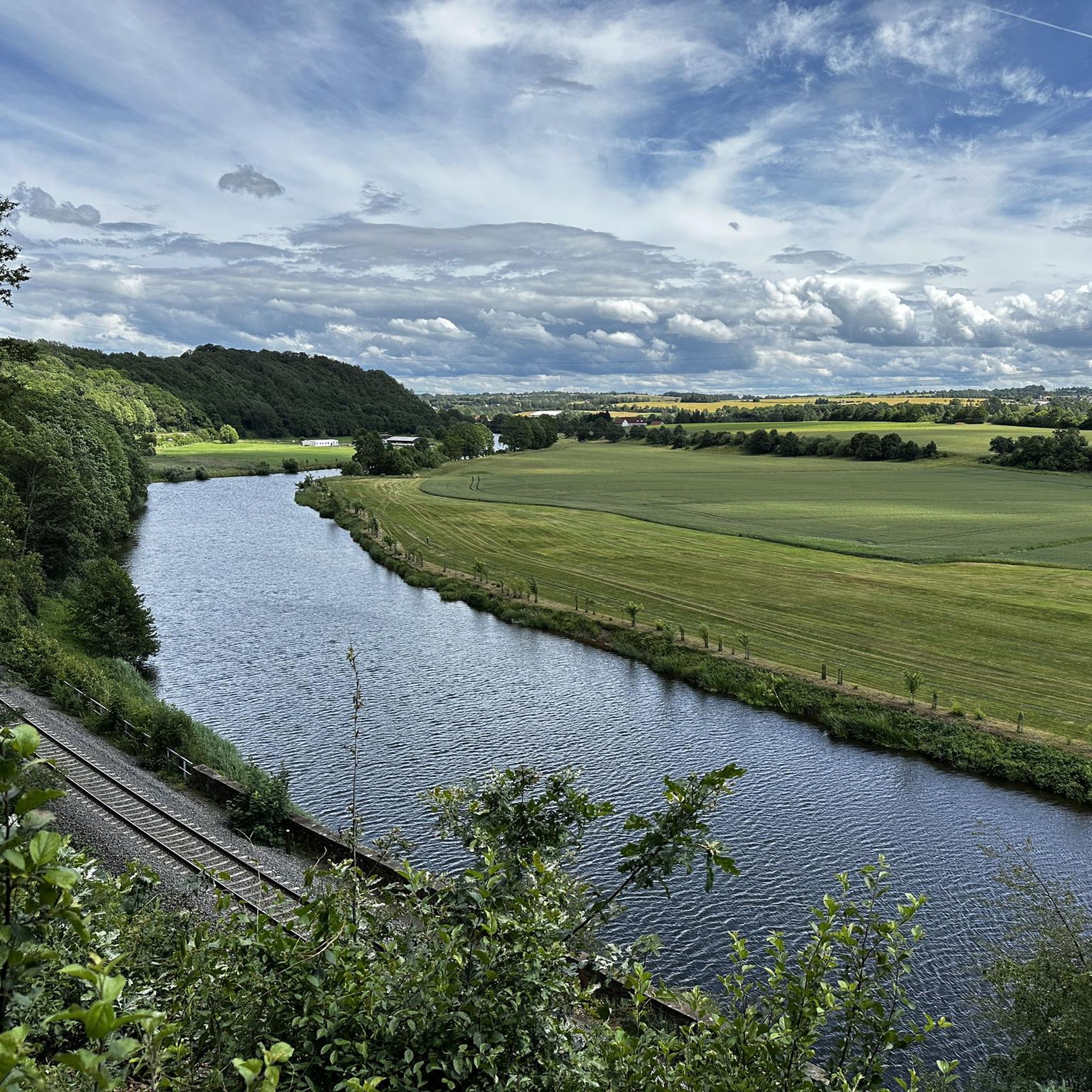
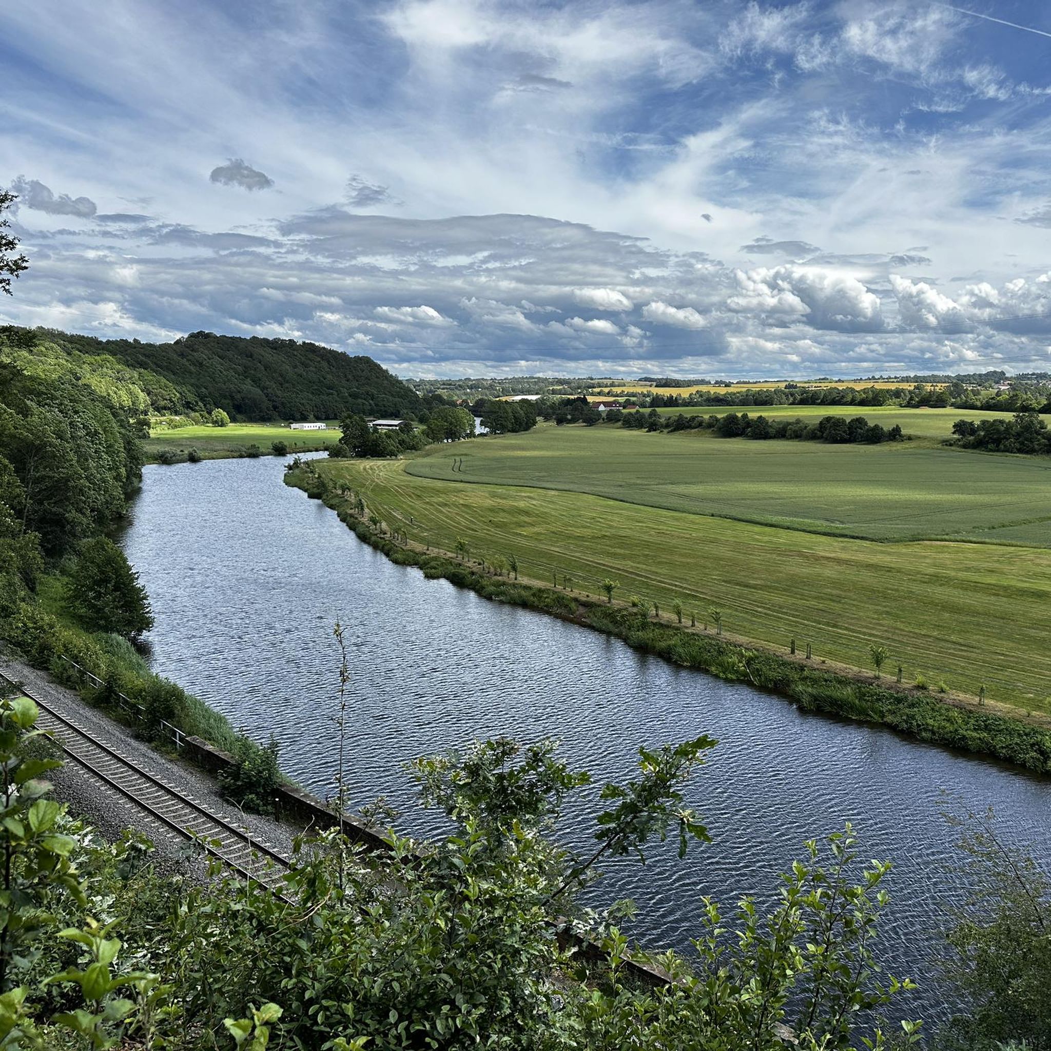
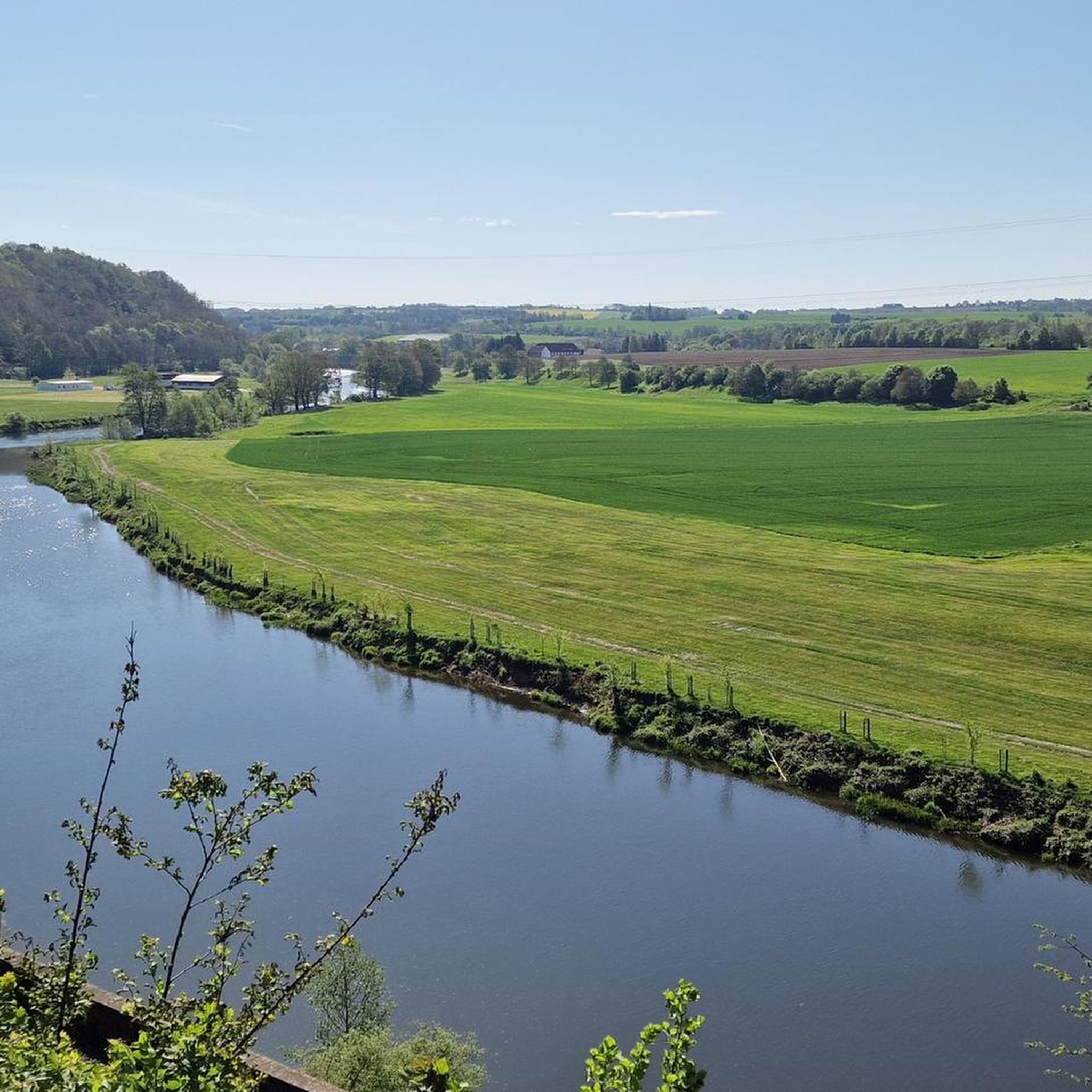
The best panoramic view of the region. There's a covered bench here, and a bit of culture too. ✌🏻
0
0
264m one of the famous 😉 Waldheimer Höhen ☝🏻
0
0

Magnificent view
1
0

Roßwein summit tour to Wetterhöhe
0
0

Victims of World War II from 12 nations, who died in the Waldheim prison, rest here.
0
0

great view with binoculars.
2
0
Frequently Asked Questions
What kind of 'mountain peaks' can I expect to find around Großweitzschen?
The Großweitzschen area is characterized by the Mittelsächsisches Hügelland (Central Saxon Hill Country), featuring gentle hills rather than traditional high mountains. The highest elevations range from approximately 239 to 261 meters above sea level. These 'peaks' often host historical sites, triangulation stations, and offer panoramic viewpoints over the Saxon countryside.
Which are the most popular viewpoints or elevated spots in the Großweitzschen region?
Visitors frequently enjoy the Wachberg Tower, a man-made monument from 1871 offering fantastic views of Waldheim. Another popular spot is Lutherhöhe Viewpoint, situated 264 meters above sea level, providing wide views of Waldheim.
Are there any historical sites or monuments on these elevated points?
Yes, several elevated points in the region are significant historical sites. The Wetterhöhe Summit Cross and Triangulation Station is a well-preserved technical monument from the 19th century, part of the Royal Saxon Triangulation network. The Wachberg Tower, built in 1871, also has historical significance. Additionally, the World War II Memorial at Alberthöhe commemorates victims from the Waldheim prison.
What are some family-friendly elevated spots or viewpoints around Großweitzschen?
Several spots are noted as family-friendly. The Wetterhöhe Summit Cross and Triangulation Station and the Lutherhöhe Viewpoint are both suitable for families. The Eicherdthöhe, another historical measuring station, also offers a great view and is considered family-friendly.
What kind of outdoor activities can I do near the elevated points of Großweitzschen?
The region offers excellent opportunities for various outdoor activities. You can find numerous hiking, mountain biking, and running trails. For hiking, explore routes like the 'Mulde River Riverside Path' or the 'Großweitzschen Church – Großweitzschen Quarry Geotope loop'. Mountain bikers can enjoy trails such as 'View of Klosterbuch – Mulde River at Buch Monastery loop'. Runners have options like the 'Mulde Valley near Technitz – Döbeln Muldeweg loop'. You can find more details on these activities in the hiking, MTB, and running guides for Großweitzschen.
Are there hiking trails that lead to these viewpoints?
Yes, many of the elevated points are accessible via hiking trails. For instance, the Lutherhöhe Viewpoint is part of a trail, and the Eicherdthöhe has a very nice driveway through the forest from Buch monastery, suitable for touring bike users as well. The region's network of paths allows for exploring these spots.
What are some easy hiking options around Großweitzschen's elevated areas?
For easier hikes, consider routes like the 'Muldentalklause Westewitz – Scheergrund Hydroelectric Power Plant loop from Hochweitzschener Wald', which is rated as easy. Another easy option is the 'Großweitzschen Church – Großweitzschen Quarry Geotope loop from Großweitzschen'. These trails offer a gentle way to experience the landscape.
What historical and cultural attractions are there in the broader Großweitzschen area, beyond the elevated points?
Beyond the specific elevated points, the Großweitzschen area is rich in historical and cultural heritage. You can explore sites like Mildenstein Castle, one of Saxony's oldest castles, and Kloster Buch, a former Cistercian monastery dating back to 1192. The region also features impressive architectural structures such as the Limmritz Viaduct over the Zschopau River.
What kind of views can I expect from the elevated points in Großweitzschen?
From the various viewpoints, you can expect panoramic views of the gentle Saxon countryside. For example, the Wetterhöhe Summit Cross and Triangulation Station offers a great view of the Saxon countryside, and from Eicherdthöhe, you can see the Collm and, with good visibility, the Muldental and even the Ore Mountains.
What do visitors particularly enjoy about the elevated spots and trails in Großweitzschen?
Visitors appreciate the fantastic views, especially from spots like the Wachberg Tower. Many enjoy the historical significance of the triangulation stations and summit crosses, often finding them well-kept technical monuments. The opportunity to explore the picturesque landscape along walking and cycling paths, particularly in the Freiberger Mulde river valley, is also highly valued.
How long do typical hikes to these elevated points take?
The duration of hikes varies depending on the chosen route and your pace. For example, the 'Großweitzschen Church – Großweitzschen Quarry Geotope loop' is about 4.2 km, which can be completed in a couple of hours. Longer routes like the 'Mulde River Riverside Path – Ferry House Töpeln loop' are around 10.5 km and would take longer. Many of the elevated points are accessible via shorter paths or can be incorporated into longer circular routes.
Most popular routes around Großweitzschen
Most popular attractions around Großweitzschen

Get inspired with the komoot mobile app


Explore more
See even more amazing summits around Großweitzschen with these guides:
