The 6 Most Amazing Peaks around Kescheid
Mountain peaks around Kescheid provide access to the diverse landscapes of the Westerwald low mountain range in Rhineland-Palatinate, Germany. While Kescheid itself is at a lower elevation, the surrounding region features numerous hills and mountains. These areas are characterized by natural beauty and offer various hiking opportunities. The broader Westerwald region is known for its extensive network of hiking trails, including the WesterwaldSteig.
Best mountain peaks around Kescheid
- The most popular mountain peaks is Hoher Schaden Summit (988 m),…
Last updated: September 29, 2026
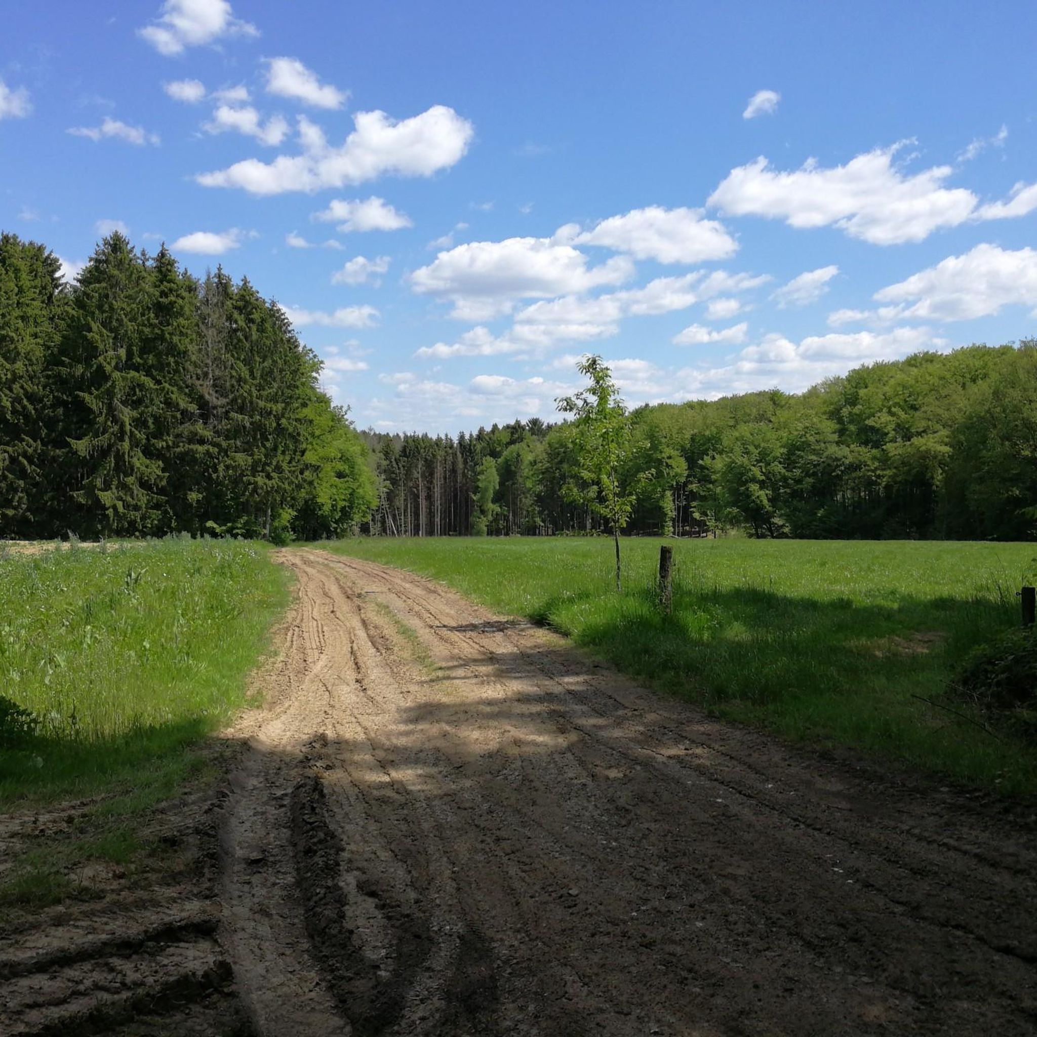
View from Roßbacher Häubchen
Highlight • Viewpoint
Translated by Google •
Tip by

Hohenschauberg (389 m)
Highlight • Summit
Translated by Google •
Tip by

Sign up now to discover places like this
Get recommendations on the best single tracks, peaks, & plenty of other exciting outdoor places.
View from Bertenauer Kopf Shelter
Highlight • Viewpoint
Translated by Google •
Tip by

Hoher Schaden
Highlight • Summit
Translated by Google •
Tip by

Highest Point of Hennef
Highlight • Summit
Translated by Google •
Tip by

Sign up for free to discover even more peaks around Kescheid.
Already have an account?
Start today with a free account
Your next adventure awaits.
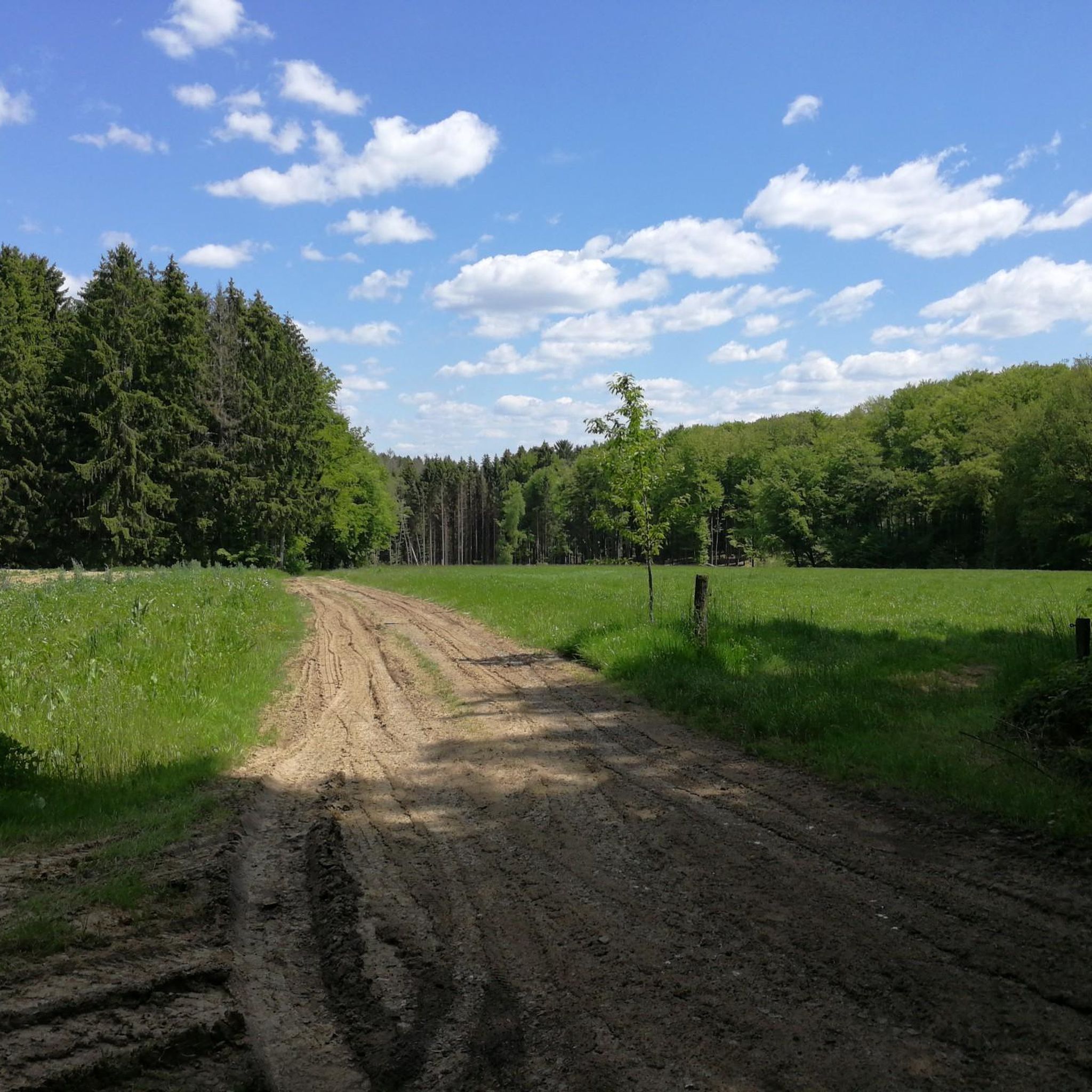
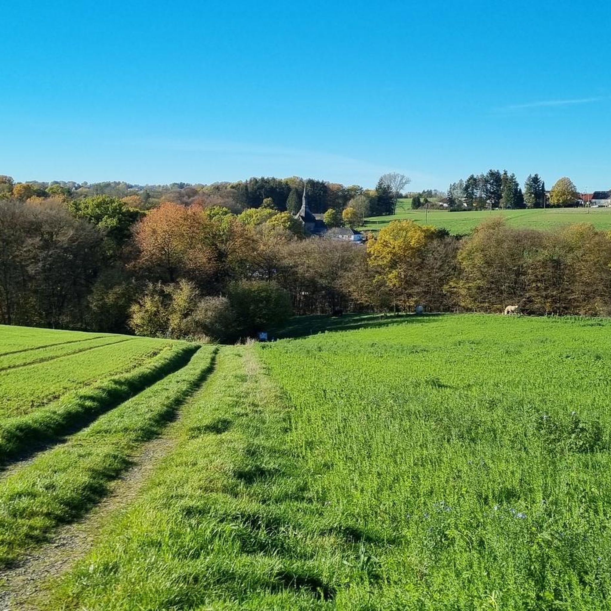
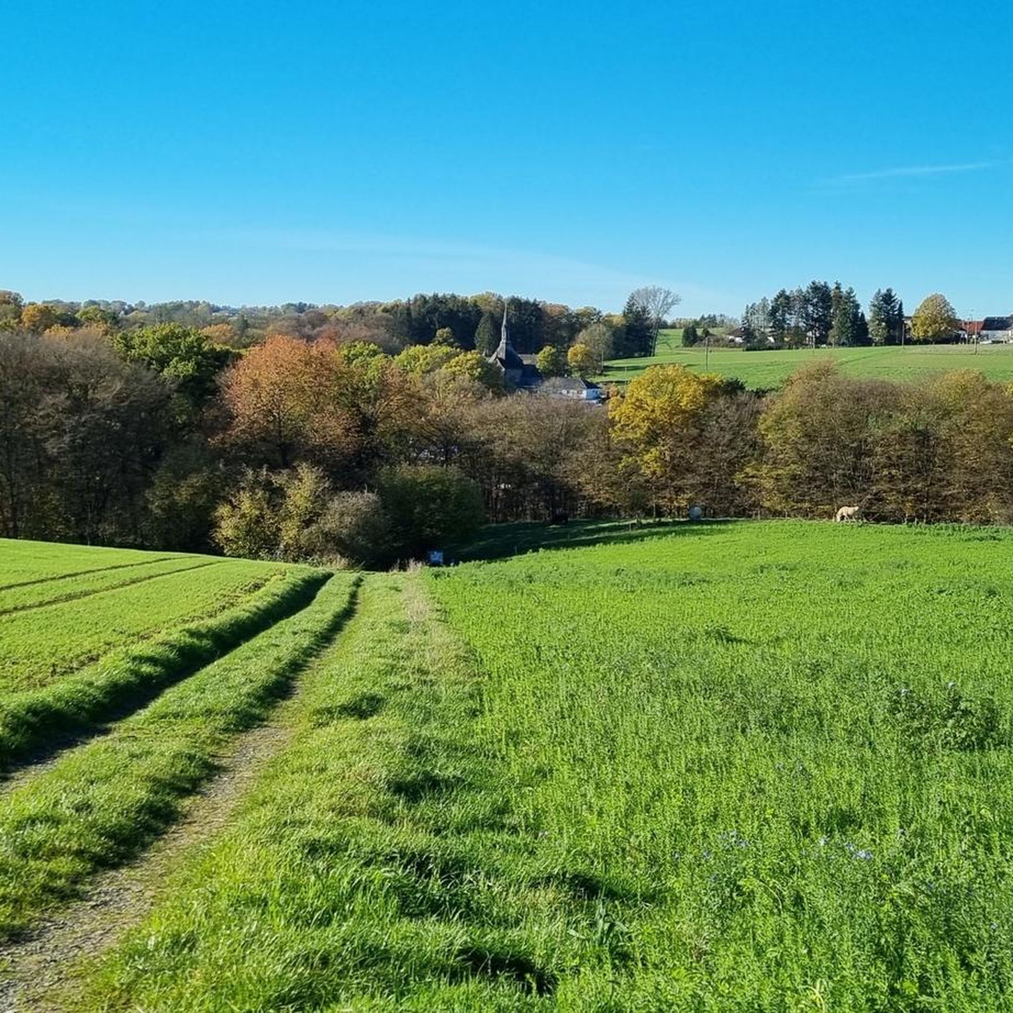
Tips from the Community

The Hohe Schaden is not 988 m but only 388.2 m above sea level
0
0

Great view and then an interesting trail down to Bitze follows, but the climb is challenging without an e-bike
0
0

Beautiful shelter with a great view.
3
0

Why is the mountain called that?
0
0

The view extends as far as the Siebengebirge. At least you are well protected from rain if it is not too stormy.
1
0


There is a refuge on the summit of the Bertenauer Kopf. When it's windy, there's a draft in the hut, at least on your head. From there you have a great view towards the Siebengebirge!
5
0

If a peak has a name like that, then you have to go up there, right?
2
0
Frequently Asked Questions
What are some of the most notable mountain peaks and viewpoints around Kescheid?
The region around Kescheid, part of the Westerwald low mountain range, offers several interesting peaks and viewpoints. Among them are the Hoher Schaden Summit (988 m), known for its striking views towards the blue mountains of the Westerwald. Another popular spot is the View from Bertenauer Kopf Shelter, which provides distant views, including towards the Siebengebirge. Additionally, the Highest Point of Hennef, at 285 meters above sea level, is notable as the highest elevation within the city of Hennef.
Are there any particularly high mountain peaks in the broader Westerwald region?
Yes, while Kescheid itself is at a lower elevation, the broader Westerwald region boasts several significant peaks. The highest is Fuchskaute, reaching 657.3 meters, offering expansive views. Other high points include Stegskopf (654.4 m) and Salzburger Kopf (654.2 m), both providing opportunities for strenuous hikes and scenic vistas.
What unique natural formations can I explore near Kescheid?
Beyond traditional peaks, the region features unique geological formations. The Druidenstein is a striking basalt cone, approximately 20 meters high, located on the Druidensteig hiking trail. It's considered an impressive natural monument with historical significance as a Celtic settlement and cult site. The Hohenseelbachskopf, though partially quarried, also holds archaeological interest as a former basalt summit and Celtic site.
What kind of hiking opportunities are available near the mountain peaks around Kescheid?
The Westerwald region, accessible from Kescheid, is well-regarded for its extensive network of hiking trails. You can find long-distance trails like the WesterwaldSteig, as well as various Wäller Tours and Sieg Adventure Trails. These offer diverse experiences, from challenging routes to relaxing circular walks through forests and along streams. For specific easy hikes, you can explore options like the 'Open-air stage Mehren – Mehrbach Spring loop' or the 'Saynsche Schanz and Landwehr loop' which are detailed in the Easy hikes around Kescheid guide.
Are there family-friendly mountain peaks or viewpoints suitable for all ages?
Yes, several spots are suitable for families. The Highest Point of Hennef is noted as family-friendly. Another great option is the View of the Siebengebirge from Keuenhofer Wiesen, which offers a fantastic panoramic view and is also considered family-friendly, with a rest bench available.
Where can I find the best panoramic views around Kescheid?
For expansive panoramic views, consider the View from Bertenauer Kopf Shelter, which offers distant vistas towards the Siebengebirge. Another excellent option is the Otto Tower (Ottoturm) on the Kahlenberg. This nearly 19-meter-high observation tower provides beautiful panoramic views of parts of the Siegerland region, and on clear days, even the Siebengebirge.
What historical or cultural sites are associated with the mountain peaks in this area?
The region has a rich history tied to its natural formations. The Druidenstein is not only a geological wonder but also a significant Celtic settlement and cult site dating back to 500-300 BC. Similarly, the Hohenseelbachskopf, though altered by mining, was also a prominent Celtic settlement and cult site, with remnants of a circular rampart and an urn burial ground still present.
What other outdoor activities can I do near the mountain peaks around Kescheid besides hiking?
Beyond hiking, the area around Kescheid offers various outdoor activities. You can find numerous running trails, such as the 'Skatepark Westerwald – White Wayside Shrine loop' or the 'Running loop from Kescheid', detailed in the Running Trails around Kescheid guide. Road cycling is also popular, with routes like the 'Wied Bridge – Wiedtal Serpentines loop' available in the Road Cycling Routes around Kescheid guide.
When is the best time to visit the mountain peaks around Kescheid?
The mountain peaks and trails around Kescheid are enjoyable throughout much of the year. Spring and autumn offer pleasant temperatures and beautiful scenery, with blooming wildflowers or vibrant fall foliage. Summer is ideal for longer days and warmer weather, while winter can provide unique opportunities for snowy hikes, though some trails might be more challenging due to conditions.
What do visitors particularly appreciate about the mountain peaks near Kescheid?
Visitors frequently highlight the stunning views and the tranquility of the natural surroundings. Many appreciate the clear vistas from spots like the Hoher Schaden Summit and the opportunity to rest and enjoy distant views from the Bertenauer Kopf Shelter. The diverse hiking experiences and the chance to explore unique geological formations also receive high praise from the komoot community.
Are there any specific tips for visiting the Hoher Schaden Summit?
When visiting the Hoher Schaden Summit, be aware that it offers a striking viewpoint for spruce dieback, with clear views towards the blue mountains of the Westerwald. It's a great spot for a break with a small rest bench. There are also MTB single trails in the vicinity. Always be mindful of your surroundings, as natural changes like fallen trees can occur.
Most popular attractions around Kescheid

Get inspired with the komoot mobile app


Explore more
See even more amazing summits around Kescheid with these guides:
