The 7 Most Amazing Peaks around Nister
Best mountain peaks around Nister are characterized by the Nister river and the surrounding Westerwald hills. The region features a landscape of rolling uplands and river valleys, including the rocky area known as Kroppach Switzerland. While not home to towering summits, Nister offers numerous elevations and viewpoints suitable for hiking and exploring the natural beauty of the area. The geography provides an extensive network of hiking paths rather than distinct, prominent peaks.
Best mountain peaks around Nister
- The most popular…
Last updated: June 26, 2026
View from the Steinerother Kopf
Highlight • Viewpoint
Around one kilometer south of Steineroth, the Steinerother Kopf (478m) rises, a basalt dome on which basalt was mined by almost a hundred workers as early as 1880. …
Translated by Google •
Tip by

Summit Cross and Tree of the Year Trail, Streithausen
Highlight • Summit
Translated by Google •
Tip by

Sign up now to discover places like this
Get recommendations on the best single tracks, peaks, & plenty of other exciting outdoor places.
Sign up for free
Gietzebeul Summit
Highlight • Summit
Except for the sign, there's nothing up here but nature.
Translated by Google •
Tip by

Weißer Stein (Highest Point in Lochum)
Highlight • Summit
Translated by Google •
Tip by

Götzenberg Summit Cross
Highlight • Summit
Translated by Google •
Tip by
Sign up for free to discover even more peaks around Nister.
Sign up for free
Already have an account?
Start today with a free account
Your next adventure awaits.
Login or Signup

Tips from the Community

A sign on a gravel path.
1
0

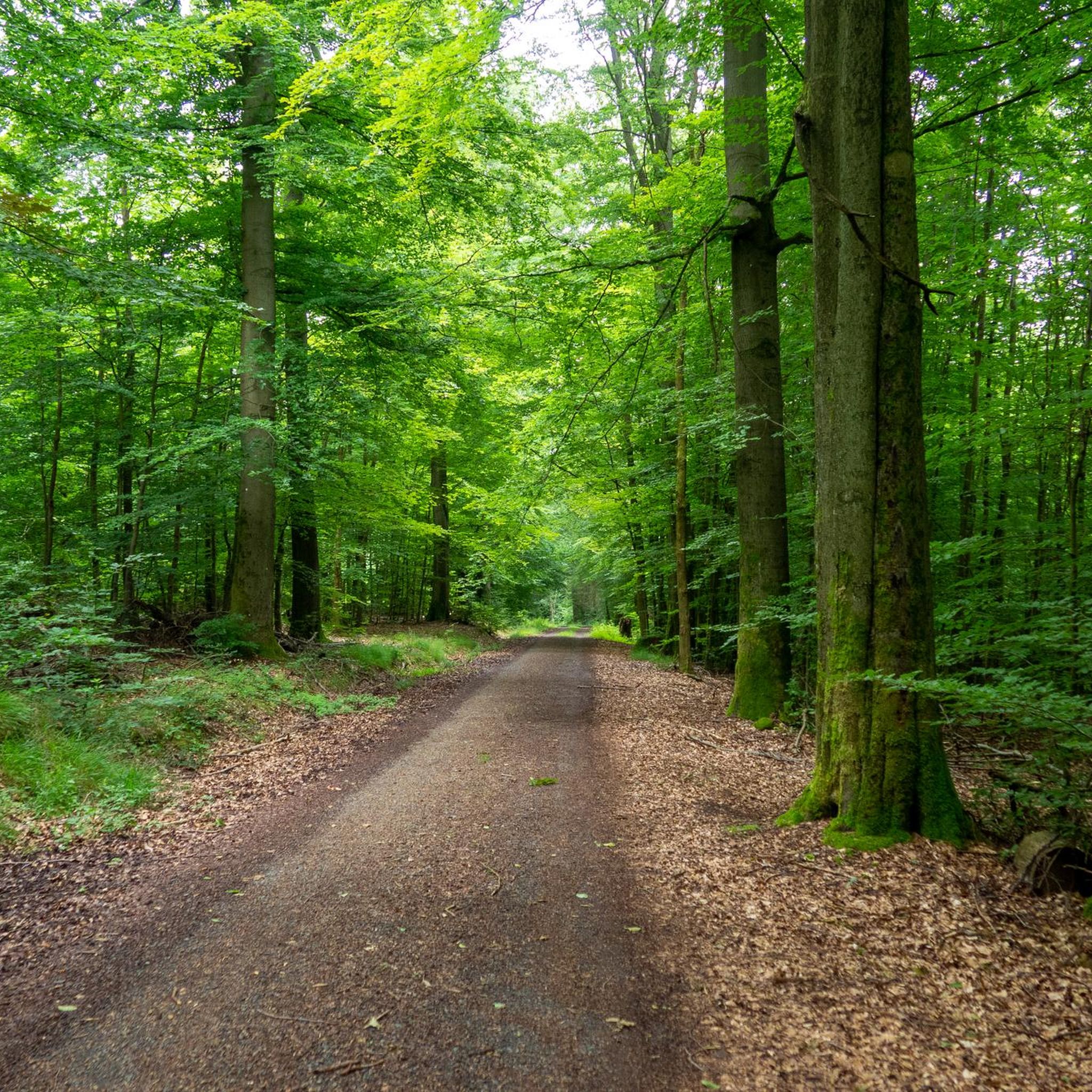
Nice way to hike or ride on the MTB
1
0
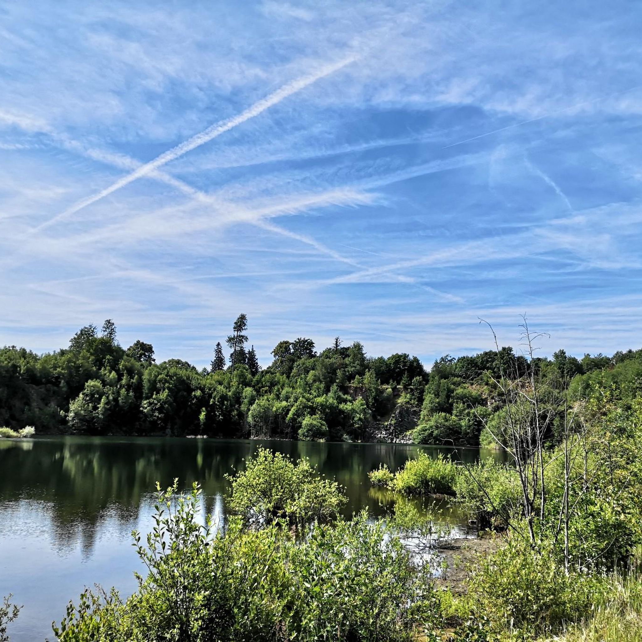
The spruces are almost all gone, the deciduous trees are still standing. Except for the sign, there's nothing up here but nature.
3
1

Above Streithausen there is a cross, a "Tree of the Year Park" circular path and an "Eco TV" which offers a view of Streithausen.
2
0

The summit cross seen from afar.
2
0
This place "White Stone" or this sign marks the highest elevation in the district of Lochum (509.8 m).
2
0
Quite hidden in the forest, but recently well signposted.
4
0

The stamp for the 12th stage of the Natursteig Sieg is on the backrest of the lounger. This vantage point is 100 meters from the Natursteig Sieg.
5
0
Frequently Asked Questions
What are the most popular viewpoints and elevations around Nister?
The Nister region is known for its scenic viewpoints and elevations rather than towering peaks. Among the most popular is the View from the Steinerother Kopf, a basalt dome offering expansive views towards the Westerwald. Another cherished spot is the Summit Cross and Tree of the Year Trail, Streithausen, which provides a pleasant view of Streithausen and a unique local tradition.
Are there family-friendly mountain trails or viewpoints in the Nister area?
Yes, several spots around Nister are suitable for families. The View from the Steinerother Kopf is considered family-friendly, as is the Summit Cross and Tree of the Year Trail, Streithausen, which even features a pleasant rest area. These locations offer accessible ways to enjoy the natural beauty of the region.
What kind of natural features can I expect to see on the elevations around Nister?
The elevations around Nister are primarily characterized by the rolling uplands and river valleys of the Westerwald hills. You'll encounter basalt domes like the Steinerother Kopf, forested trails, and scenic river views, especially along the Nister river itself. The area is part of the Kroppach Switzerland, known for its rocky upland landscape.
What outdoor activities can I do near the elevations around Nister?
The Nister region is excellent for various outdoor activities, particularly hiking, running, and gravel biking. You can explore numerous trails that lead to viewpoints and through the scenic Westerwald hills. For detailed routes, check out the Hiking around Nister, Running Trails around Nister, and Gravel biking around Nister guides.
Are there any specific historical or cultural points of interest on the peaks around Nister?
While the region is more focused on natural beauty, some elevations incorporate cultural elements. For instance, the Summit Cross and Tree of the Year Trail, Streithausen features a unique tradition of planting trees for newborns. The Steinerother Kopf, a basalt dome, also has a magnificent summit cross, which is a popular destination for hikers.
What is the highest point in the Nister region?
The highest designated point in the immediate vicinity is the Weißer Stein (Highest Point in Lochum), which marks an elevation of 509.8 meters. It is clearly designated by a sign.
What do visitors enjoy most about the elevations and viewpoints around Nister?
Visitors frequently praise the expansive views, especially from spots like the Steinerother Kopf, where on clear days you can see all the way to the Siebengebirge. The unique traditions, such as the tree planting at Streithausen, and the well-maintained hiking paths through forests are also highly appreciated.
Are there any hidden gem elevations or less-known spots worth visiting?
For those looking for a quieter experience, the Götzenberg Summit Cross offers a small, somewhat hidden summit at 501 meters above sea level. While tucked away in the forest, it is now well signposted, providing a peaceful discovery for hikers.
What is the best season to hike the elevations around Nister?
The Nister region, with its extensive hiking path network, is enjoyable throughout much of the year. Spring and autumn offer pleasant temperatures and vibrant natural colors. Summer is also suitable, especially for shaded forest trails. Winter hiking is possible, but conditions can vary, so checking the weather forecast is advisable.
Are there challenging mountain climbs in the Nister area?
The Nister region is characterized by rolling uplands and river valleys rather than high, challenging mountain climbs. The elevations are generally moderate, making them suitable for intermediate hikers. While there are no extreme climbs, the extensive network of trails offers plenty of opportunities for longer, more strenuous hikes through varied terrain.
Can I find cafes or rest stops near the hiking trails around Nister's elevations?
Yes, many hiking routes in the Nister region pass by or lead to places where you can find refreshments. For example, the Summit Cross and Tree of the Year Trail, Streithausen offers a pleasant rest area. Additionally, routes often connect to villages or towns like Hachenburg, where cafes and restaurants are available. It's always a good idea to check specific route details for amenities.
What is the Gietzebeul Summit like?
The Gietzebeul Summit is an elevation located between Steinebach and Gehlert. It was formed by ancient sea deposits and features a trail through the forest. While it has been affected by environmental changes like drought and bark beetles, it still offers a natural, quiet spot for hikers, with little else but nature at the top.
Most popular attractions around Nister

Get inspired with the komoot mobile app


Explore more
See even more amazing summits around Nister with these guides:
