The 6 Most Amazing Peaks around Nomborn
Best mountain peaks around Nomborn are characterized by the region's gentle hills, forests, and meadows, forming part of the broader Westerwald and Taunus areas. While not featuring dramatic towering peaks, the landscape offers varied terrain suitable for outdoor activities, particularly hiking. Notable elevated points provide panoramic views and geological interest, such as the Bornkasten with its basalt columns. The area provides diverse and well-maintained hiking trails through its undulating landscapes.
Best mountain peaks around Nomborn
- The most popular mountain peaks…
Last updated: July 10, 2026
Köppel Observation Tower
Highlight • Viewpoint
Is worth a trip. :-)
Translated by Google •
Tip by

Translated by Google •
Tip by

Sign up now to discover places like this
Get recommendations on the best single tracks, peaks, & plenty of other exciting outdoor places.
Sign up for free
Höchst Summit
Highlight • Summit
Translated by Google •
Tip by

Start today with a free account
Your next adventure awaits.
Login or Signup
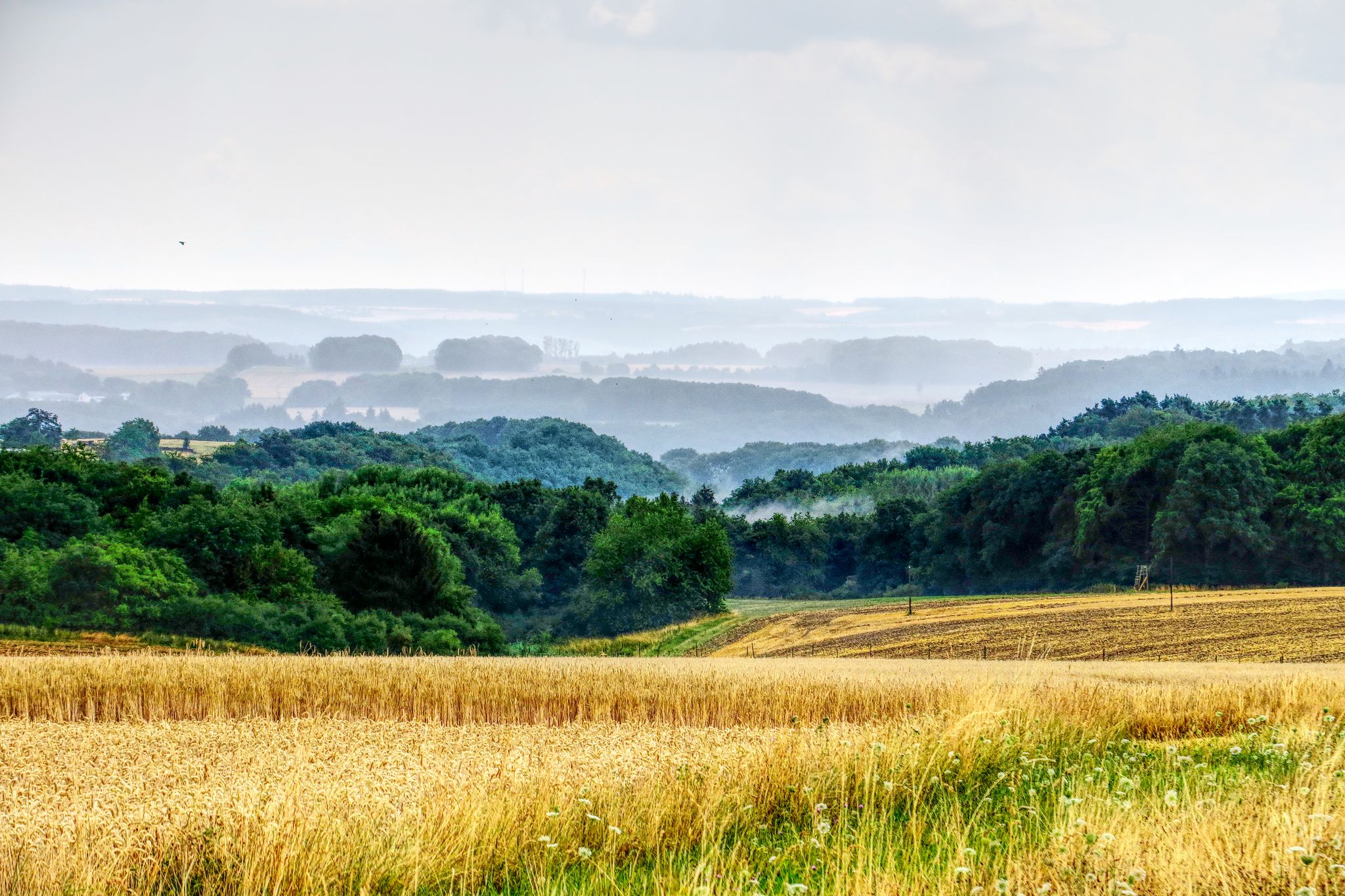
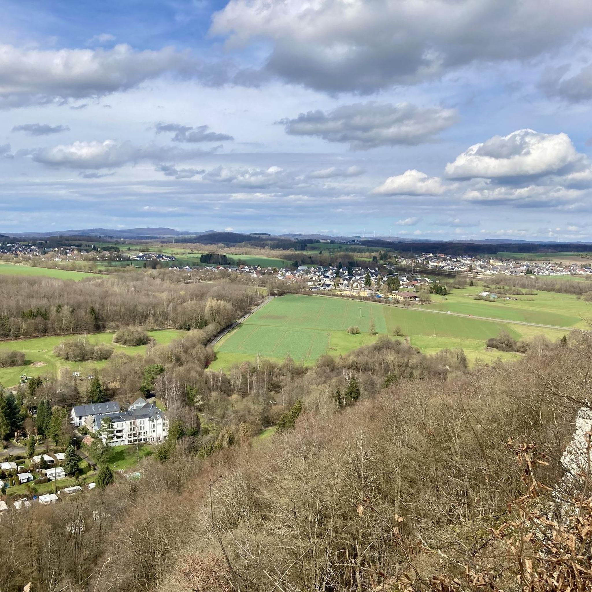
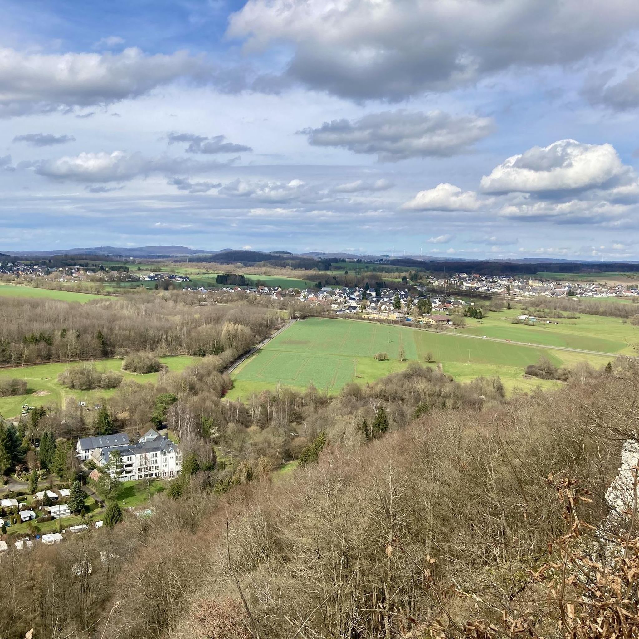
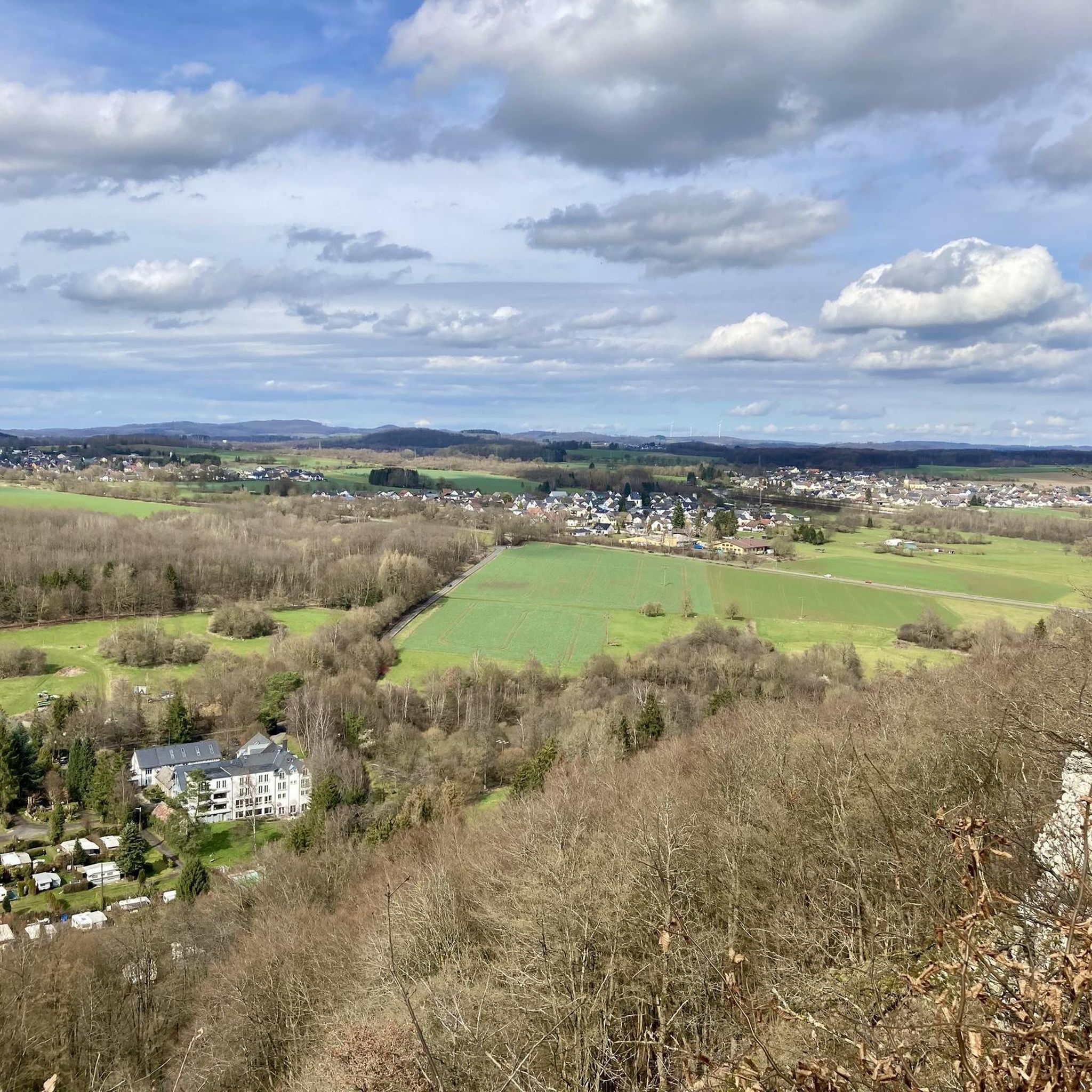

Other adventures around Nomborn

Tips from the Community

Today (05/15/2023) the peak has grown again. The stone comes from Schönborn.
1
0

Highest point in the Esterau, as the region around Holzappel is called. At the top there is a large pile of stones and a stone, although I'm not sure whether this should be a boundary stone or a "summit stone" ...?
1
0

The highest! At 443 meters, it is the highest point in the Diez area and the surrounding area.
3
0


Nice MTB destination. A little further down from the path you now have a nice view.
2
0

"A round on the Köppel" is the classic for all places around it, especially because the Köppelhütte is also open. One of the few managed huts in the region. Opening times, information and more here: https://www.facebook.com/pages/category/Gastropub/Die-original-K%C3%B6ppelseite-1088087014609569/
9
0
Mystical place, up in the dark ;-)
4
0

Steep climb but at the top, an unreal stone landscape rewards you
6
0
Frequently Asked Questions
What are some notable elevated points or "peaks" to explore around Nomborn?
While Nomborn is known for its gentle hills rather than dramatic peaks, several elevated points offer rewarding experiences. The Köppel Observation Tower provides extensive panoramic views. The Malberg summit features unique rock formations and historical significance. The Höchst Summit is the highest point in the immediate region, offering a quiet spot to enjoy nature. Additionally, the Bornkasten, though not in the guide data, is a local highlight known for its steep ascent, panoramic views over the Eisenbachtal, Gelbachtal, and Montabaurer Senke, and interesting geological basalt columns.
What kind of views can I expect from the elevated points in the Nomborn area?
The elevated points around Nomborn offer diverse and expansive views. From the Köppel Observation Tower, you can see far across the Westerwald, including the Gr. Feldberg, Eifel volcanoes, Fuchskaute, and Siebengebirge. The Bornkasten provides panoramic views over the forests of Eisenbachtal, Gelbachtal, and the Montabaurer Senke. The Malberg summit and Höchst Summit also offer scenic vistas of the surrounding forested and hilly landscapes.
Are there any historical or geological points of interest among the peaks near Nomborn?
Yes, the region offers both. The Malberg summit and Wildweiberhäuschen rock formation is a historically significant site with unique scenery. The Bornkasten, a prominent elevated point near Nomborn, is notable for its geological outcrop showcasing distinctive fan-like basalt columns, making it a fascinating spot for nature enthusiasts.
What are the difficulty levels of hiking trails to these elevated points?
The difficulty levels vary. The Köppel Observation Tower, Malberg summit, and Höchst Summit are generally considered intermediate. However, the Ascent Path to Höchst is described as challenging, featuring very steep sections and rough, washed-out ground, which can be particularly slippery when wet. The Bornkasten offers a moderate challenge with a steep ascent.
Are there family-friendly hiking options around Nomborn's elevated points?
While specific family-friendly designations for individual peaks are not listed, the general character of Nomborn's landscape, with its gentle hills and well-maintained trails, makes many routes suitable for families. The Bornkasten, for example, offers a rewarding experience with panoramic views after a moderate climb, which can be enjoyable for active families. For a broader range of family-friendly outdoor activities, consider exploring the various running and cycling routes in the area, which often pass through scenic and accessible terrain.
What outdoor activities can I do near these elevated points?
Beyond hiking to the elevated points, the Nomborn area offers a variety of outdoor activities. You can find numerous cycling routes, including options for touring bicycles and road cycling, ranging from moderate to difficult. There are also several running trails, many of which are moderate in difficulty and pass through picturesque landscapes like the Eisenbach Stream Trail and the Reckenthal Sculpture Trail.
What do visitors enjoy most about the elevated points around Nomborn?
Visitors frequently praise the rewarding panoramic views, especially from the Köppel Observation Tower, which offers an indescribable vista on clear days. The unique scenery and historical significance of the Malberg summit are also highly appreciated by both hikers and cyclists. The geological features, such as the basalt columns at Bornkasten, add another layer of interest for those exploring the region.
When is the best time of year to hike the trails around Nomborn's elevated points?
The region around Nomborn, with its forests and undulating landscapes, is generally pleasant for hiking from spring through autumn. Spring brings blooming flora, while autumn offers vibrant fall colors. Good weather is particularly recommended for ascents to viewpoints like the Köppel Observation Tower to fully appreciate the extensive views. During wet conditions, challenging paths like the Ascent Path to Höchst can become very slippery due to rough, washed-out ground.
Are there any amenities like huts or pubs near the elevated points?
Yes, near the Köppel Observation Tower, you'll find the Köppelhütte, which offers rustic charm and delicious food. It's a great spot to refuel after your ascent. For other trails, local amenities and pubs can typically be found in the nearby villages and towns, making it possible to combine your hike with a local culinary experience.
How long does it typically take to hike to the main elevated points?
The duration of a hike depends on the specific route and your pace. For example, the Ascent Path to Höchst is described as a short but very steep climb. Many of the elevated points are integrated into longer hiking routes, such as those that include the Bornkasten, which can take a few hours to complete depending on the chosen loop. It's best to check specific route details for estimated times.
Are there options for less crowded hikes to elevated points near Nomborn?
While specific crowd levels are not detailed, the Nomborn region is known for its diverse and well-maintained trail network through charming, undulating landscapes. Exploring trails that lead to points like the Höchst Summit or the Bornkasten, especially during off-peak hours or weekdays, can offer a more tranquil experience. The sheer number of available routes in the broader Westerwald and Taunus regions means you can often find quieter paths away from the most popular spots.
Most popular routes around Nomborn
Most popular attractions around Nomborn

Get inspired with the komoot mobile app


Explore more
See even more amazing summits around Nomborn with these guides:
