The 3 Most Amazing Peaks around Rodenbek
Mountain peaks around Rodenbek are characterized by their modest elevations within a landscape shaped by glacial valleys and rolling hills. The Rodenbek location, a municipality in Schleswig-Holstein, Germany, features a terrain that includes low-lying areas and river valleys rather than prominent mountain ranges. The highest points in the region, such as Kieler Berg, reach approximately 94 meters above sea level. This area offers opportunities for easy mountain hikes near Rodenbek, exploring natural monuments and viewpoints.
Best mountain peaks around Rodenbek
…Last updated: July 10, 2026
Kieler Berg Summit
Highlight • Summit
Translated by Google •
Tip by

Krähenberg Summit
Highlight • Summit
Translated by Google •
Tip by

Sign up now to discover places like this
Get recommendations on the best single tracks, peaks, & plenty of other exciting outdoor places.
Sign up for free
Brommerberg Ascent Marker (Glacial Erratic)
Highlight • Natural Monument
Translated by Google •
Tip by

Start today with a free account
Your next adventure awaits.
Login or Signup
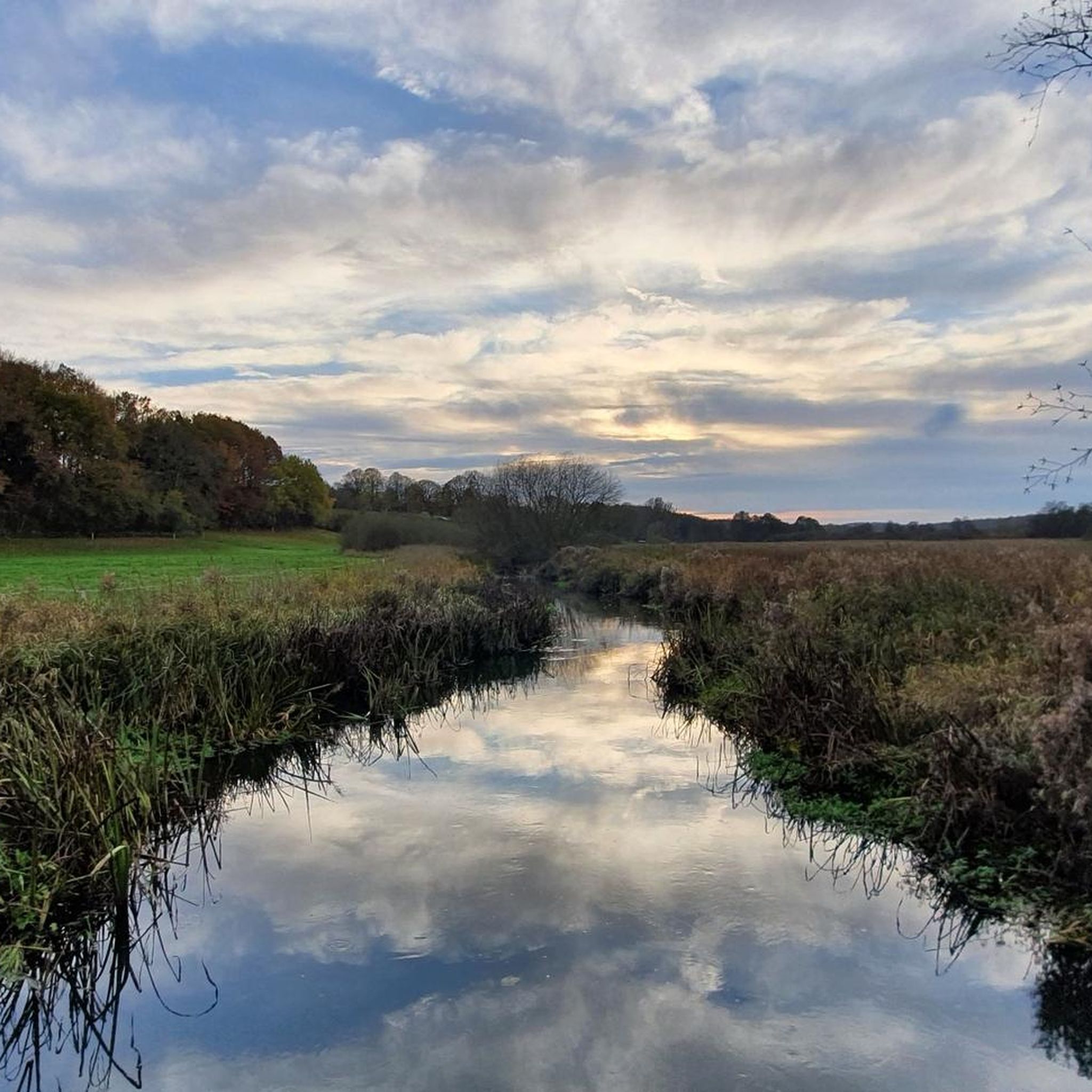
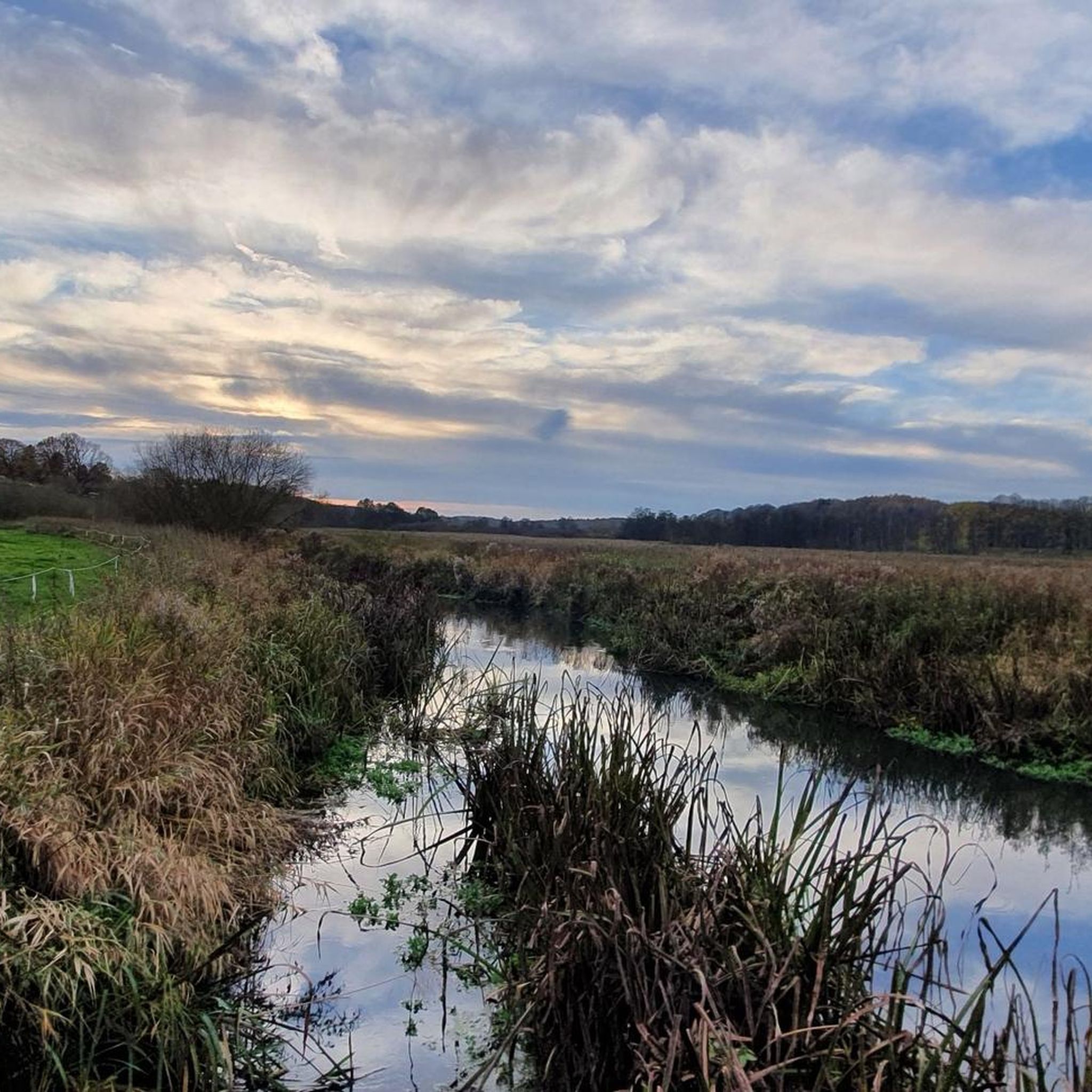
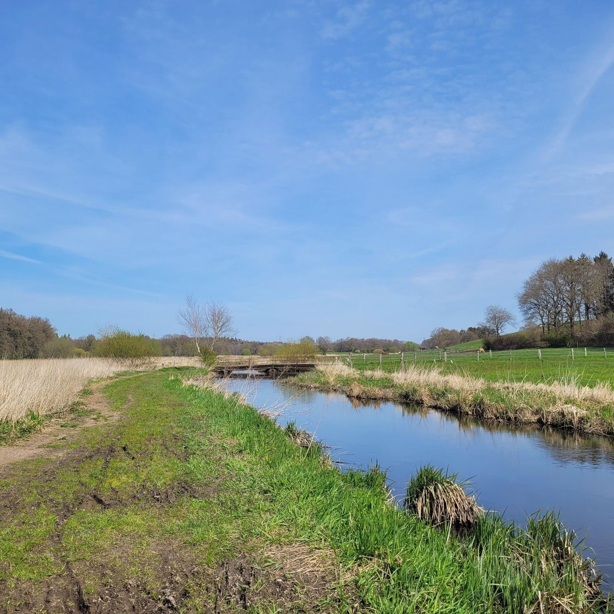
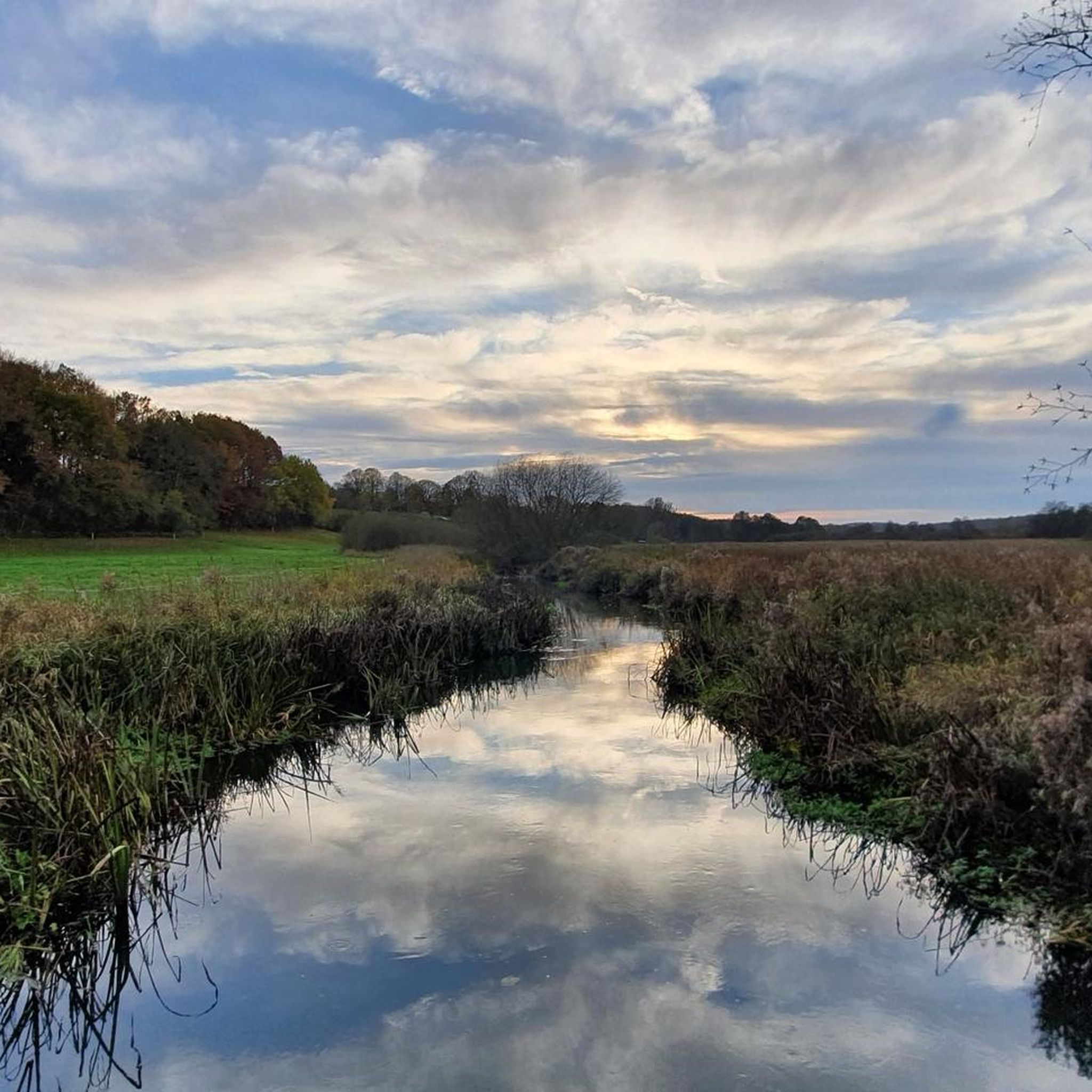
Tips from the Community

At the giant boulder, walk 50 meters across the forest, and voila, you're at the summit of Brommerberg. The view is quite beautiful and stretches in three directions.
5
0

94m high elevation in the forest. No far-reaching view possible, as it is surrounded by trees. There is a small boundary stone on the "summit"
4
0
94m high, at the top a boundary stone marks the summit in the dense forest, so the distant view is blocked.
5
0
94m high, at the top there is a boundary stone in the dense forest.
2
0

Please do not approach from the north via the trail! Currently a lot of deforestation above and catastrophic underground on the way to the "summit".
2
0

The refuge is no longer there, just a marker stone. Approaching from the north is my favorite, because it is not that steep, on the south side it is flowing down again.
2
0
Unfortunately, once you have made the climb, you are not rewarded with a grandiose view. But the north and south ramps are fun going down.
2
0

At 82 m, the Krähenberg is the third highest elevation in this region. The "summit" is freely accessible and not overgrown by trees, so that one has beautiful views in all directions. You have to leave your bike on the path and walk the rest of the way up to the summit.
3
1
Frequently Asked Questions
What kind of 'mountain peaks' can I expect to find around Rodenbek?
The 'mountain peaks' around Rodenbek are characterized by modest elevations within a landscape shaped by glacial valleys and rolling hills. The region is in Schleswig-Holstein, Germany, and features low-lying areas and river valleys rather than prominent mountain ranges. The highest points, like Kieler Berg Summit, reach approximately 94 meters above sea level.
Which are the most popular elevated spots to visit near Rodenbek?
Among the most popular spots are Kieler Berg Summit, which is the highest elevation in the nature park Westensee at 94 meters. Another highly regarded spot is Krähenberg Summit, offering views in multiple directions. Visitors also enjoy the Brommerberg Ascent Marker (Glacial Erratic), a natural monument with views in three directions.
Are there any viewpoints among the peaks around Rodenbek?
Yes, Krähenberg Summit is a notable viewpoint. At 82 meters, it is not overgrown by trees, providing beautiful views in all directions. The Brommerberg Ascent Marker (Glacial Erratic) also offers views in three directions after a short walk from a giant boulder.
What natural features can I explore around Rodenbek's elevations?
The region offers a variety of natural features, including forest trails and open areas. You can find natural monuments like the Brommerberg Ascent Marker (Glacial Erratic). The landscape is characterized by glacial valleys and rolling hills, providing a serene natural environment for exploration.
Are there easy or beginner-friendly hikes available near Rodenbek's peaks?
Yes, the modest elevations around Rodenbek are generally suitable for easy hikes. For example, the hike to Brommerberg Ascent Marker (Glacial Erratic) involves a short walk from a boulder to the summit. Many trails in the area are considered easy, such as the 'Eider Bridge Near Hohenhude – Steinfurther Mill loop from Rodenbek' which is 5.2 km long. You can find more options in the Hiking around Rodenbek guide.
What outdoor activities can I do near these elevations?
Beyond exploring the modest peaks, Rodenbek offers various outdoor activities. You can find numerous routes for road cycling, mountain biking, and hiking. For instance, there are several road cycling routes like the 'View of Bossee Lake – View of Westensee loop from Melsdorf' in the Road Cycling Routes around Rodenbek guide. Mountain bikers can explore trails such as the 'Forest trail in Westensee Nature Park – Schierensee Bathing Area loop from Melsdorf' in the MTB Trails around Rodenbek guide. Hikers have options like the 'Westensee – View of the Kleiner Schierensee loop from Rodenbek' in the Hiking around Rodenbek guide.
What is the best time to visit the elevations around Rodenbek?
While there isn't a specific 'best time' mentioned for the peaks themselves, the region's low-lying terrain and forest trails make it accessible for outdoor activities throughout much of the year. Spring and autumn offer pleasant temperatures and beautiful foliage, while summer is ideal for longer excursions. Even in winter, some trails might be suitable, though conditions should be checked.
Are there any specific challenges or considerations when visiting these 'peaks'?
The 'peaks' around Rodenbek are not challenging in terms of altitude or technical climbing. However, some, like Kieler Berg Summit, are in dense forest, meaning there is no panoramic view from the very top. For Krähenberg Summit, you may need to leave your bike on the path and walk the final stretch to the top.
What do visitors enjoy most about the elevations around Rodenbek?
Visitors appreciate the modest elevations for their accessibility and the natural beauty of the surrounding landscape. Highlights like Krähenberg Summit are valued for their open views, while the Brommerberg Ascent Marker (Glacial Erratic) offers a unique natural monument experience. The komoot community has contributed over 60 photos and more than 140 upvotes to the highlights in this guide, indicating a positive experience with these local points of interest.
Can I find circular hiking routes that include these elevations?
Yes, the area around Rodenbek offers various circular routes that can incorporate these modest elevations. For example, the 'Windhose Memorial Stone loop from Rodenbek' is an easy 4.4 km hike. You can explore more options for circular hikes and other trails in the Hiking around Rodenbek guide, which lists several routes starting and ending near Rodenbek.
Most popular routes around Rodenbek
Most popular attractions around Rodenbek

Get inspired with the komoot mobile app


Explore more
See even more amazing summits around Rodenbek with these guides:
