The 4 Most Amazing Peaks around Adelschlag
Mountain peaks around Adelschlag are situated within the Altmühltal Nature Park, characterized by rolling hills and forests rather than towering alpine peaks. The region offers elevated hiking opportunities and scenic trails. Notable elevated areas include the Dohlenfelsen and the Reisberg, providing diverse landscapes and viewpoints. These features contribute to a varied natural environment for exploration.
Best mountain peaks around Adelschlag
- The most popular mountain peaks is Löwenkopf Viewpoint, a viewpoint that offers a great view of the Dohlenfelsen. This…
Last updated: August 20, 2026
Bschütt-Berg (Eichstätt Matterhorn)
Highlight • Monument
The …
Translated by Google •
Tip by

Reisberg Summit
Highlight • Summit
Together with the neighboring Lippertshofener Berg, the Reisberg is part of the loose garland of panoramic mountains that border the Jura range in the south. The hilltop rises …
Translated by Google •
Tip by

Sign up now to discover places like this
Get recommendations on the best single tracks, peaks, & plenty of other exciting outdoor places.
Sign up for free
Löwenkopf Viewpoint
Highlight • Viewpoint
Translated by Google •
Tip by

Summit Cross at Former Quarry Hill
Highlight • Summit
There is now a lookout point and several fitness stations, which are well described.
Translated by Google •
Tip by

Start today with a free account
Your next adventure awaits.
Login or Signup
Tips from the Community

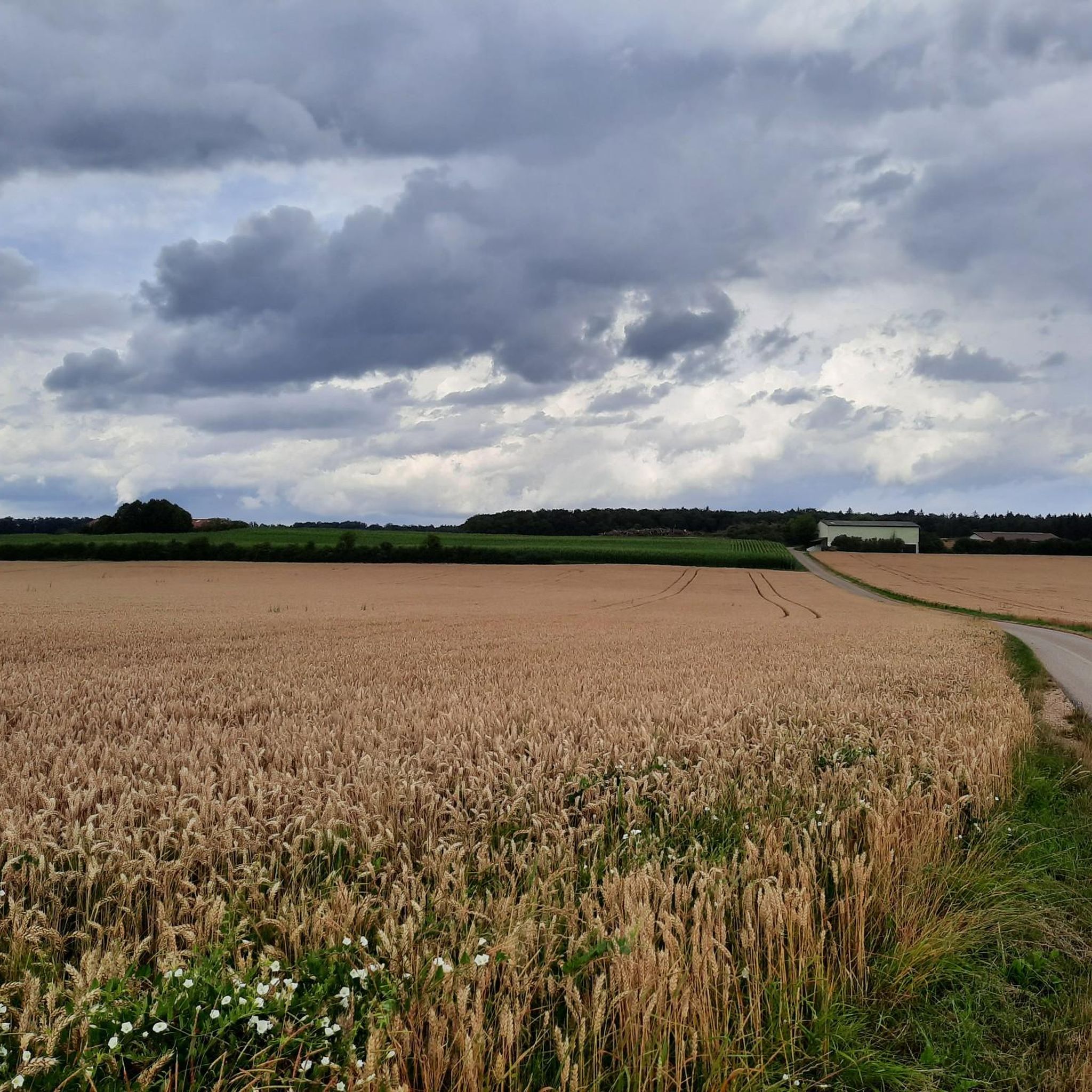
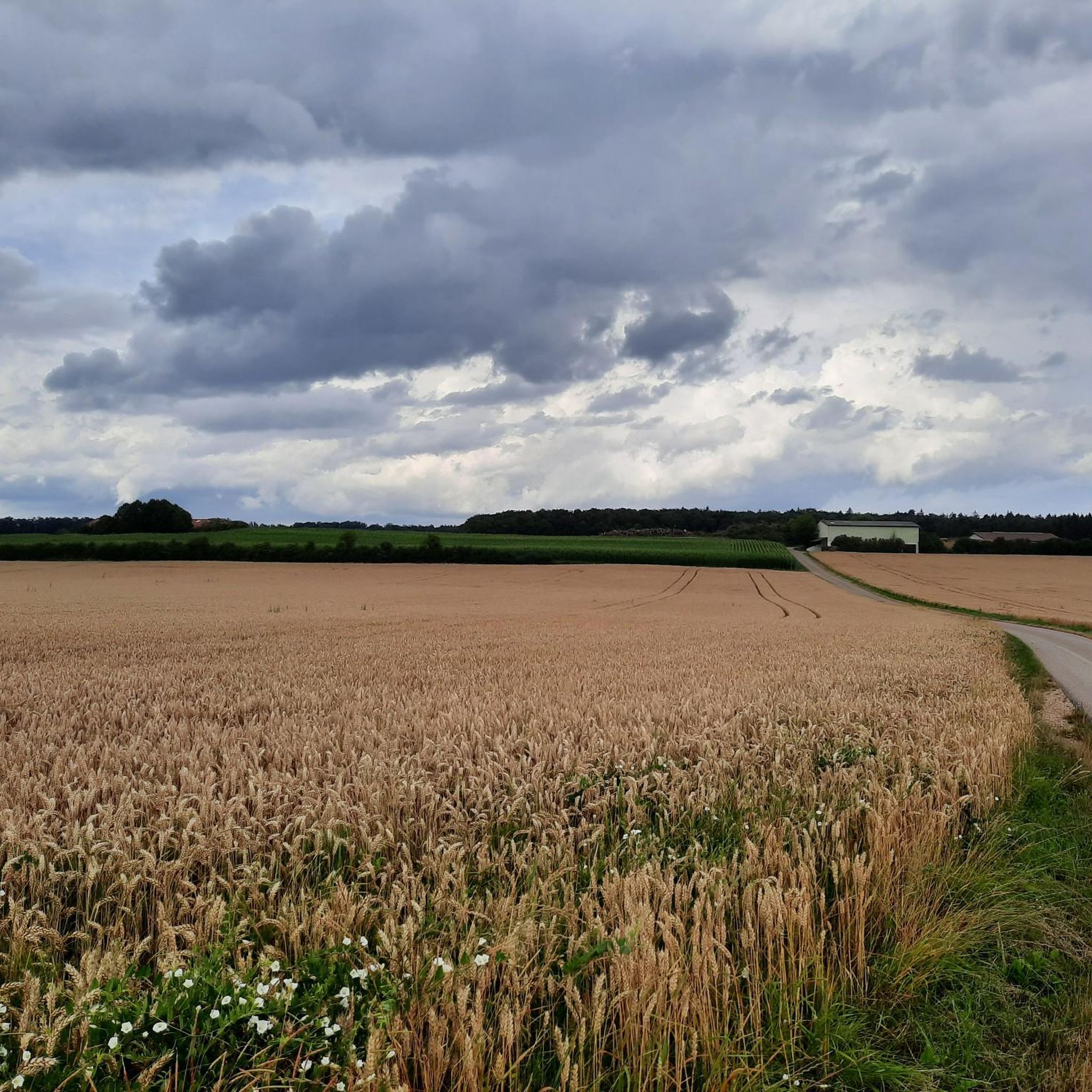
When coming up the wide path, you encounter a prohibition sign including a provisional "barrier" (see picture). Unfortunately, I did not find a summit book, as reported here.
0
0

Just a few meters from the hiking trail (signposted!) is this incredibly magnificent viewpoint: a sweeping view over the ancient Danube Valley. This tiny detour is a must—don't miss it! Even if you have to climb the last few meters...
0
0

And there is a summit book like on a "real" mountain.
1
0

The so-called Eichstätter Matterhorn is probably the highest slag heap in Eichstätt and is clearly visible as it is the only slag heap with a summit cross around Eichstätt. The B Schütt mountain, whose summit is at 574 meters, is probably one of the most striking slag heaps in the Jura. The Matterhorn reflects an important part of Eichstätter's mining and quarrying history. It was initially piled up without permission as part of the mining of limestone on the Jura. Approval was finally granted retrospectively in the early 2000s. From the summit of the Eichstätter "Matterhorn" you can see the Zugspitze massif when the weather is clear.
4
0

In the old quarry there are many descents and small trails for mountain biking.
0
0

View and summit cross are easy to reach. The view of the Danube valley from above is always worth a lot
2
0

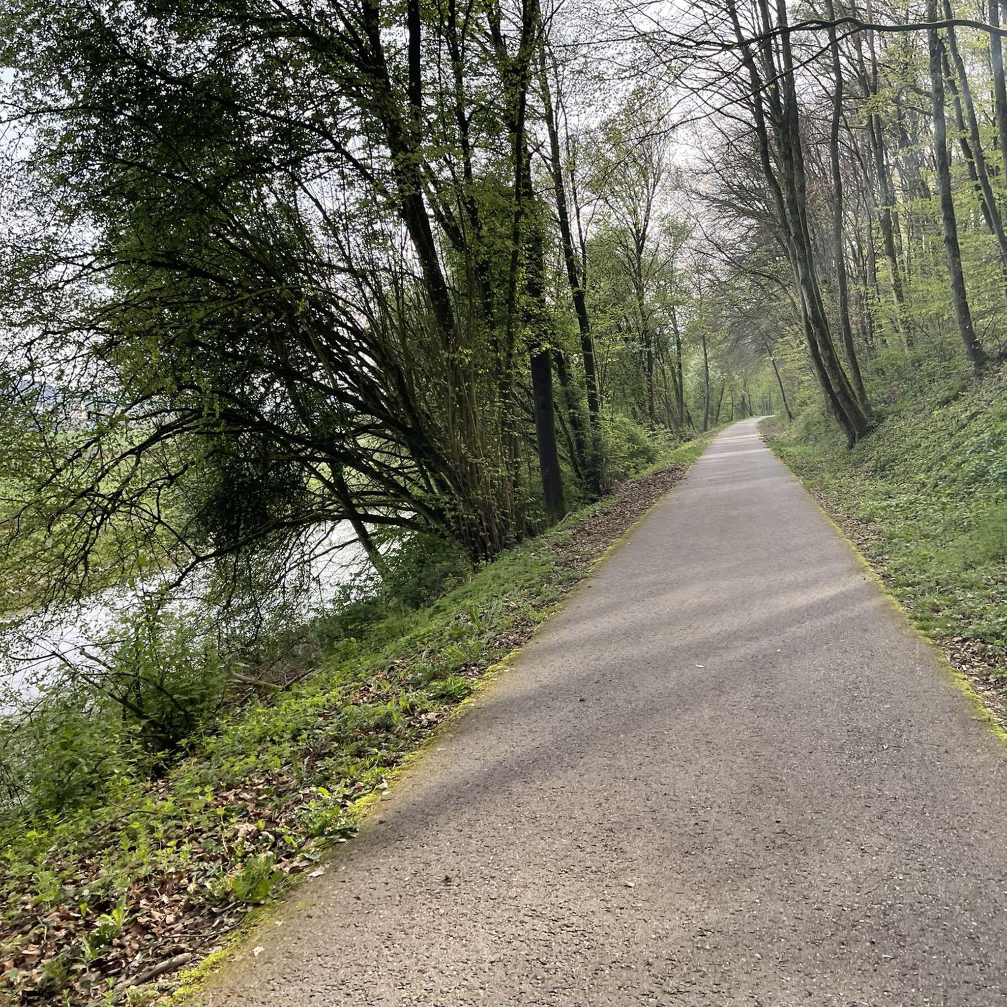
Beautiful forest paths with lots of nature
0
0

A beautiful and easy to reach vantage point with a view of Konstein and the climbing rocks.
2
0
Frequently Asked Questions
What are the most popular elevated areas to visit around Adelschlag?
The most popular elevated areas include the Löwenkopf Viewpoint, which offers a great view of the Dohlenfelsen, and the Reisberg Summit, known for its park-like landscape and panoramic views. Another unique spot is the Bschütt-Berg (Eichstätt Matterhorn), a man-made monument with a summit cross.
What kind of terrain can I expect on the elevated trails near Adelschlag?
The terrain around Adelschlag is characterized by rolling hills and green forests within the Altmühltal Nature Park. You'll find elevated hiking opportunities rather than towering alpine peaks. Areas like the Dohlenfelsen offer diverse hiking loops, from easy paths to more challenging routes requiring good fitness and sure-footedness.
Are there family-friendly elevated walks around Adelschlag?
Yes, the region offers a variety of hiking options suitable for different fitness levels, including easier paths around areas like the Dohlenfelsen. These routes can be up to two hours long with moderate elevation gain, making them suitable for families.
What natural features can I see from the elevated points in Adelschlag?
From various elevated points, you can enjoy panoramic views of the Altmühltal. The Reisberg Summit features a unique park-like landscape with solitary and clustered pine trees among heather. The Löwenkopf Viewpoint provides excellent views of the prominent Dohlenfelsen rock formations.
What is the best time of year to visit the elevated areas around Adelschlag?
The best seasons for hiking and enjoying the elevated areas around Adelschlag are spring and autumn. During these times, the weather is mild, and the natural scenery is particularly vibrant, offering ideal conditions for exploration.
Are there any historical or unique man-made features on the peaks?
Yes, the Bschütt-Berg (Eichstätt Matterhorn) is a notable man-made monument. It is the highest slag heap in Eichstätt, featuring a summit cross, and reflects the region's mining and quarrying history. On clear days, you can even see the Zugspitze massif from its summit.
What outdoor activities can I do near these elevated areas?
Beyond hiking, the region offers various outdoor activities. You can find mountain biking trails, such as those mentioned in the MTB Trails around Adelschlag guide, and running routes, detailed in the Running Trails around Adelschlag guide. The Reisberg also has descents and small trails suitable for mountain biking in its old quarry.
Are there specific hiking routes to reach the Dohlenfelsen?
Yes, the Dohlenfelsen area features several hiking loops. Examples include the 'Dohlenfelsen – Rock Window loop from Wellheim' and 'View from Dohlenfelsen – Dohlenfelsen loop from Konstein'. These are generally considered difficult routes, as detailed in the Mountain Hikes around Adelschlag guide.
What do visitors enjoy most about the elevated areas around Adelschlag?
Visitors appreciate the diverse hiking options that cater to various abilities, from leisurely strolls to more strenuous climbs. The panoramic views of the Altmühltal, the unique park-like landscapes, and the interesting rock formations like the Dohlenfelsen are frequently highlighted.
Can I find any viewpoints with fitness stations?
Yes, the Summit Cross at Former Quarry Hill, which was once a spoil dump, now serves as a lookout point and features several well-described fitness stations for visitors to enjoy.
Are there any hidden gems among the elevated points in the region?
While not widely known as a 'hidden gem' in the traditional sense, the Summit Cross at Former Quarry Hill offers a unique experience as a former spoil dump transformed into a viewpoint with fitness stations, providing a different perspective on the region's landscape.
What is the typical elevation gain for hikes in the Adelschlag region?
Hikes in the Adelschlag region, particularly around the Dohlenfelsen, can range from up to 1,000 feet of elevation gain for easier paths to more challenging mountaineering routes with up to 3,000 feet of elevation gain.
Most popular routes around Adelschlag
Most popular attractions around Adelschlag

Get inspired with the komoot mobile app


Explore more
See even more amazing summits around Adelschlag with these guides:
