The 9 Most Amazing Peaks around Teuschnitz
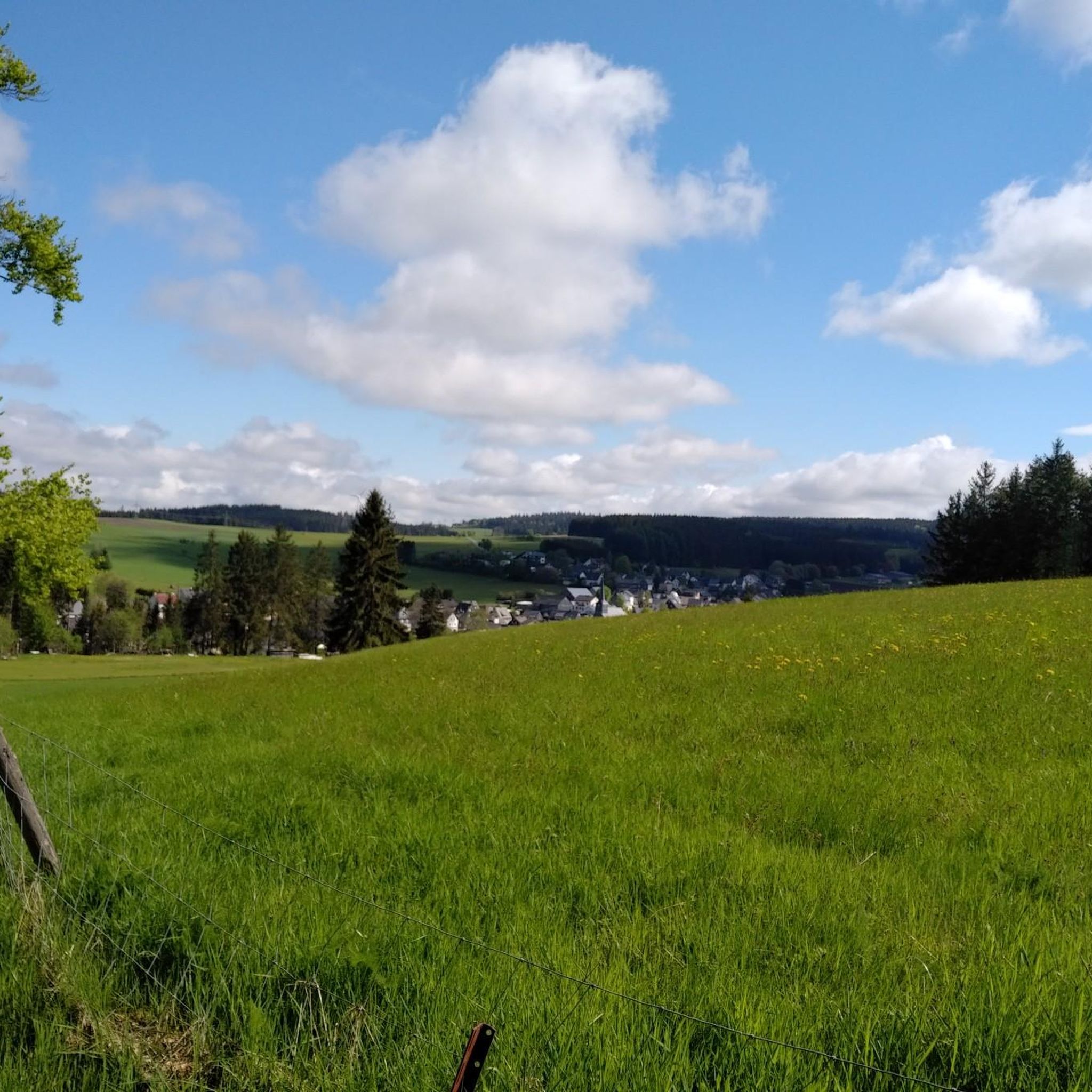
Best mountain peaks around Teuschnitz are found in the scenic Frankenwald (Franconian Forest) in Bavaria, Germany. Teuschnitz, situated at an elevation of 614 meters, is characterized by rolling hills and picturesque valleys rather than prominent alpine peaks. The region offers numerous elevated areas and viewpoints that provide panoramic vistas and diverse hiking experiences. These areas are known for their tranquility, natural beauty, and opportunities for exploring the distinctive flora and peaceful environment of the Franconian Forest.
Best mountain peaks around…
Last updated: June 27, 2026
Schloßberg Nordhalben Summit and Mushroom Sculpture
Highlight • Summit
Translated by Google •
Tip by

Wetzstein Summit and Former Radar Station
Highlight • Summit
Translated by Google •
Tip by

Sign up now to discover places like this
Get recommendations on the best single tracks, peaks, & plenty of other exciting outdoor places.
Sign up for free
Steinberger Cross
Highlight • Monument
Translated by Google •
Tip by

Windheimer Höhe summit
Highlight • Summit
Translated by Google •
Tip by

Wildberg Summit (735 m)
Highlight • Summit
Be careful, …
Translated by Google •
Tip by

Sign up for free to discover even more peaks around Teuschnitz.
Sign up for free
Already have an account?
Start today with a free account
Your next adventure awaits.
Login or Signup

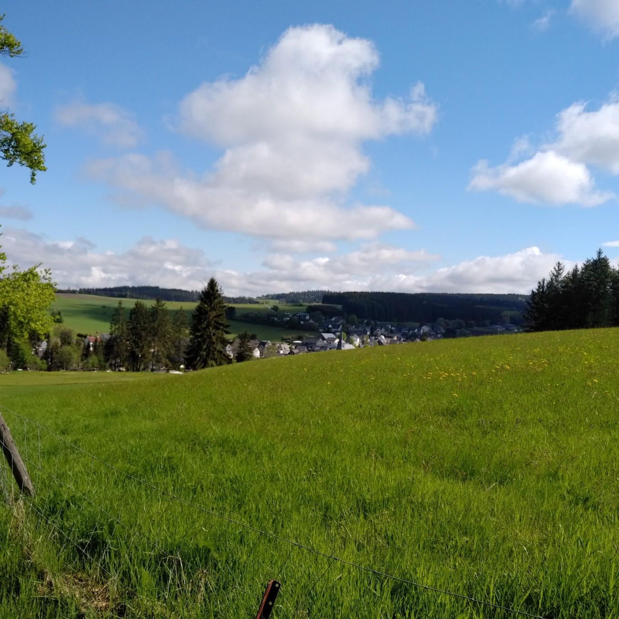
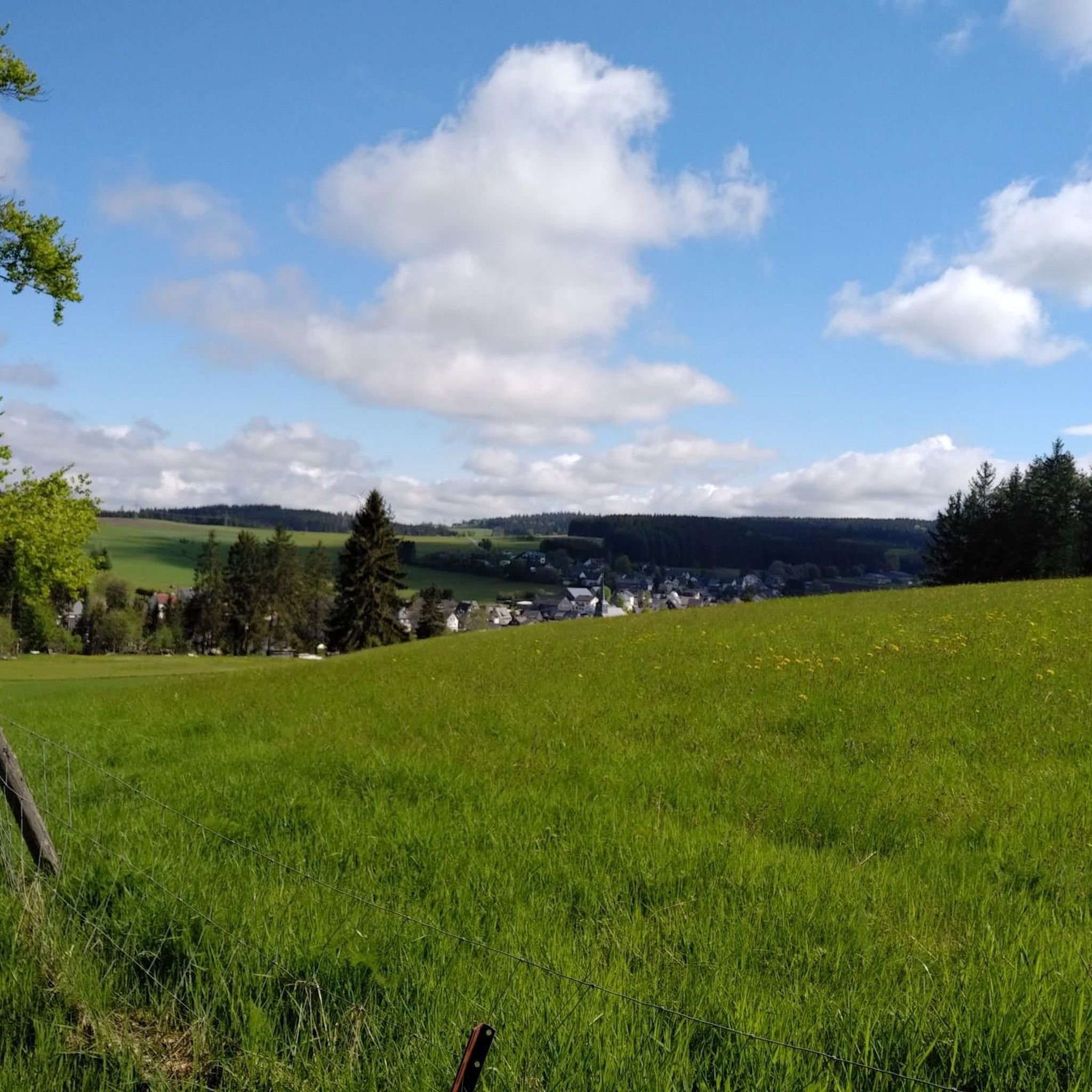
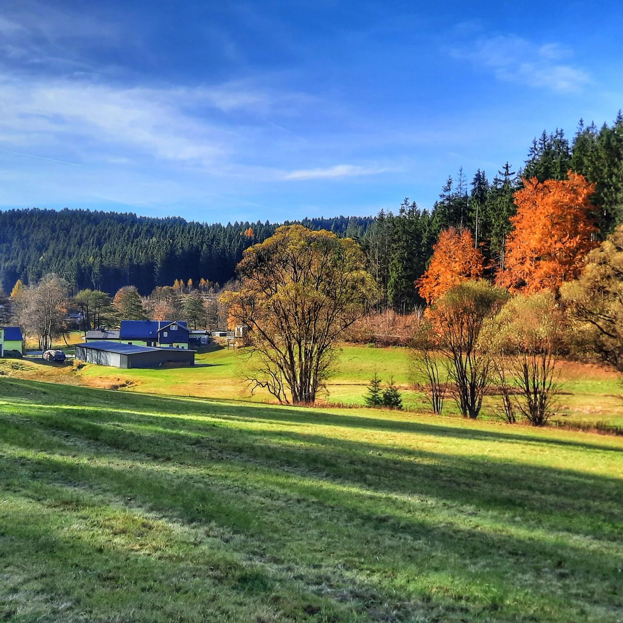
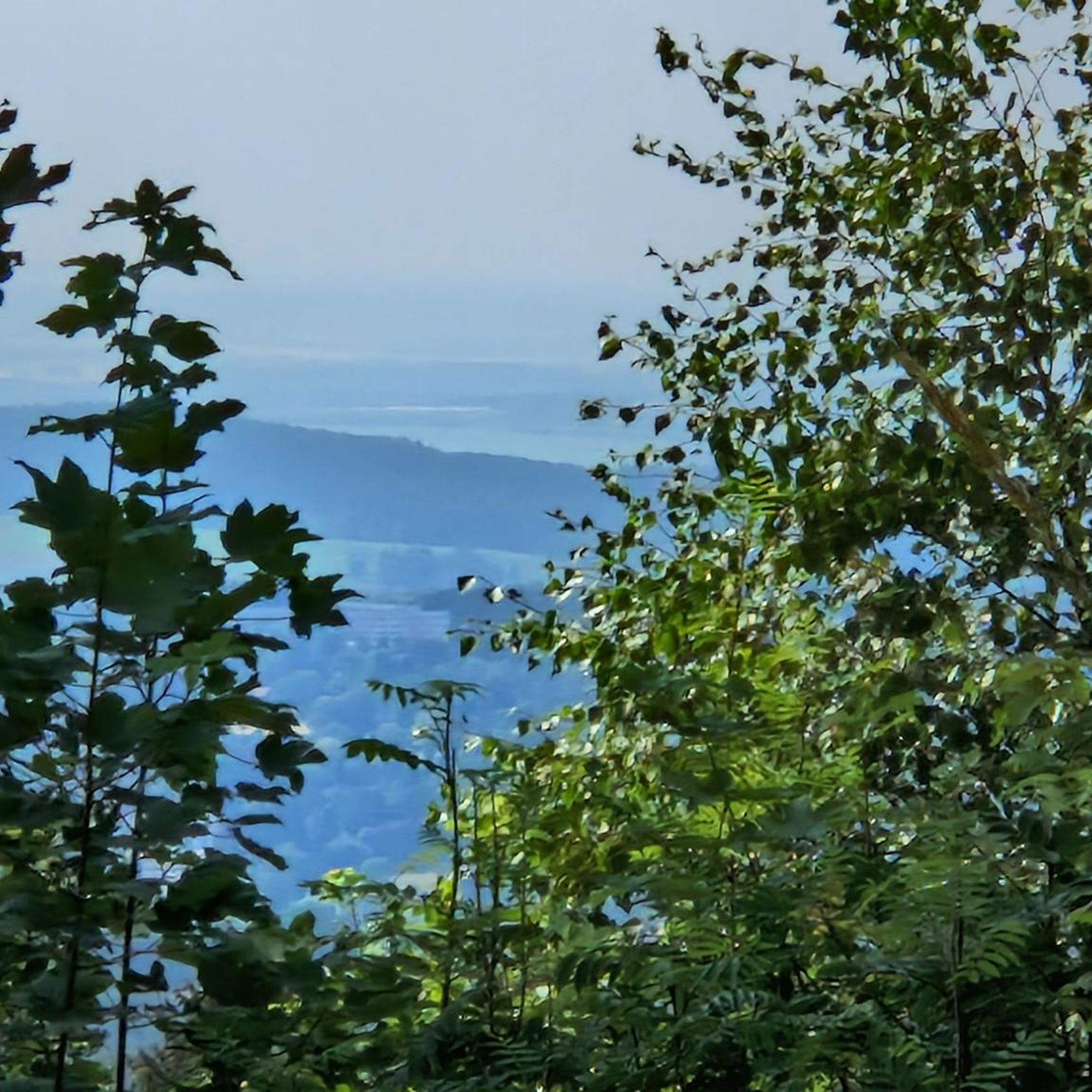


Tips from the Community

Rest stop at the Windheimer Höhe
0
0

Viewpoint on the Schlossberg with a mushroom as a seat with weather protection
1
1

quite overgrown in summer
0
1

Beautiful place, worth it
0
0

You don't even have to go as far as the cross to find a worthwhile destination here. The Eichenbühl has always been a magnificent vantage point on the western edge of the Franconian Forest. And for connoisseurs there has always been a beautiful little path around the summit. All of this has improved again, because currently (May 2024) the meadow path is beautifully mown and by cutting down spruce trees along the path, the view from the southeast (Fichtel Mountains) to the northeast to the Thuringian Forest is possible. It is best to leave the car on the Kapellenweg on the edge of the forest about 100 m behind the end of the village of Eichleithen. Then you go on a little discovery tour, because the circular route is not yet listed on OSM and Komoot. If you can't find it, look here https://www.komoot.com/de-de/tour/1578282365 or in the Bavaria Atlas.
0
0

So if you have enough provisions with you and are spontaneous, you can consider whether you want to hike a little further 😉
2
0

A bit through the bushes, then you come to the cross. If you look closely, you can see the path. Unfortunately no bench here, but a view.
0
0

Was used militarily in GDR times for flight surveillance. Some legacies are still there, e.g. the huge garage doors.
2
0
Frequently Asked Questions
What kind of mountain peaks can I expect to find around Teuschnitz?
The region around Teuschnitz, located in the scenic Frankenwald (Franconian Forest), is characterized by rolling hills and picturesque valleys rather than prominent alpine peaks. You'll find numerous elevated areas and viewpoints that offer stunning panoramic vistas and rewarding hiking experiences. These areas are known for their tranquility, natural beauty, and opportunities to explore distinctive flora and peaceful environments.
Are there any historical sites among the elevated areas near Teuschnitz?
Yes, several elevated areas near Teuschnitz have historical significance. For instance, the Wetzstein Summit and Former Radar Station is the highest mountain in eastern Thuringia and features remains of a former NVA radar station. Another notable spot is the Windheimer Höhe summit, where Emperor Napoleon I held a meeting with his generals in 1806.
What are some of the most popular elevated viewpoints or summits in the area?
Visitors particularly enjoy the Schloßberg Nordhalben Summit and Mushroom Sculpture, which offers a great view and is recognized for its geological features and unique microclimate for rare plants. The Wetzstein Summit and Former Radar Station is also very popular for its historical context and panoramic views.
Are there family-friendly elevated areas or trails suitable for children?
Yes, the Schloßberg Nordhalben Summit and Mushroom Sculpture is categorized as family-friendly, offering an enjoyable experience for all ages. Additionally, the Windheimer Höhe summit is also suitable for families, providing a gentle ascent and historical interest.
What natural features can I observe on the elevated trails around Teuschnitz?
The region is rich in natural beauty. On trails like the FrankenwaldSteigla Arnikaweg, you can experience the distinctive flora of the Franconian Forest, including thousands of yellow-flowering Arnica plants, especially vibrant in spring and autumn. The Schloßberg Nordhalben Summit is also known for its special microclimate that supports rare plant species.
What is the best season to hike the elevated trails and visit viewpoints near Teuschnitz?
The elevated areas and trails around Teuschnitz are beautiful year-round. Spring and autumn are particularly appealing for their vibrant colors and comfortable hiking temperatures. Spring brings the blooming Arnica flowers, while autumn offers stunning foliage. Winter hiking is also possible, providing a peaceful, snow-covered landscape.
Are there any challenging climbs or more difficult trails for experienced hikers?
While the region is known for rolling hills, some trails offer more challenging sections. For example, combining a tour to the Schloßberg Nordhalben Summit with parts of the Grenzersteig can make for a more demanding hike with significant altitude difference. The descent from Wildberg Summit (735 m) towards Tettau is also noted as quite steep.
What outdoor activities can I do near these elevated areas?
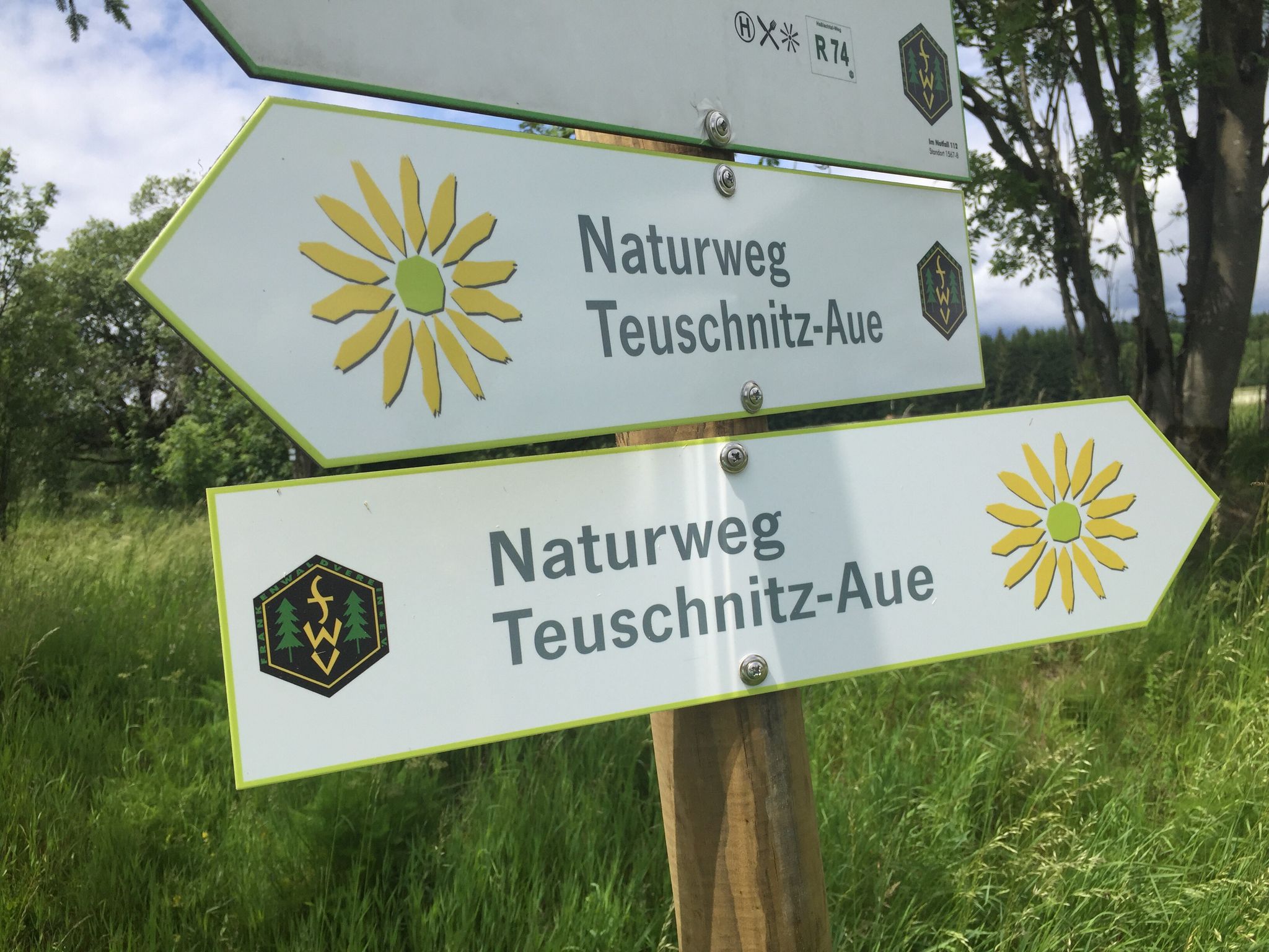
Beyond hiking, the region offers various outdoor activities. You can explore numerous MTB trails around Teuschnitz, including routes like the Tettautal Cycle Path. There are also several running trails, such as the Teuschnitz-Aue Nature Trail loop, and gravel biking routes like the Grümpeltal Valley loop.
Where can I find panoramic views of Teuschnitz and the surrounding area?
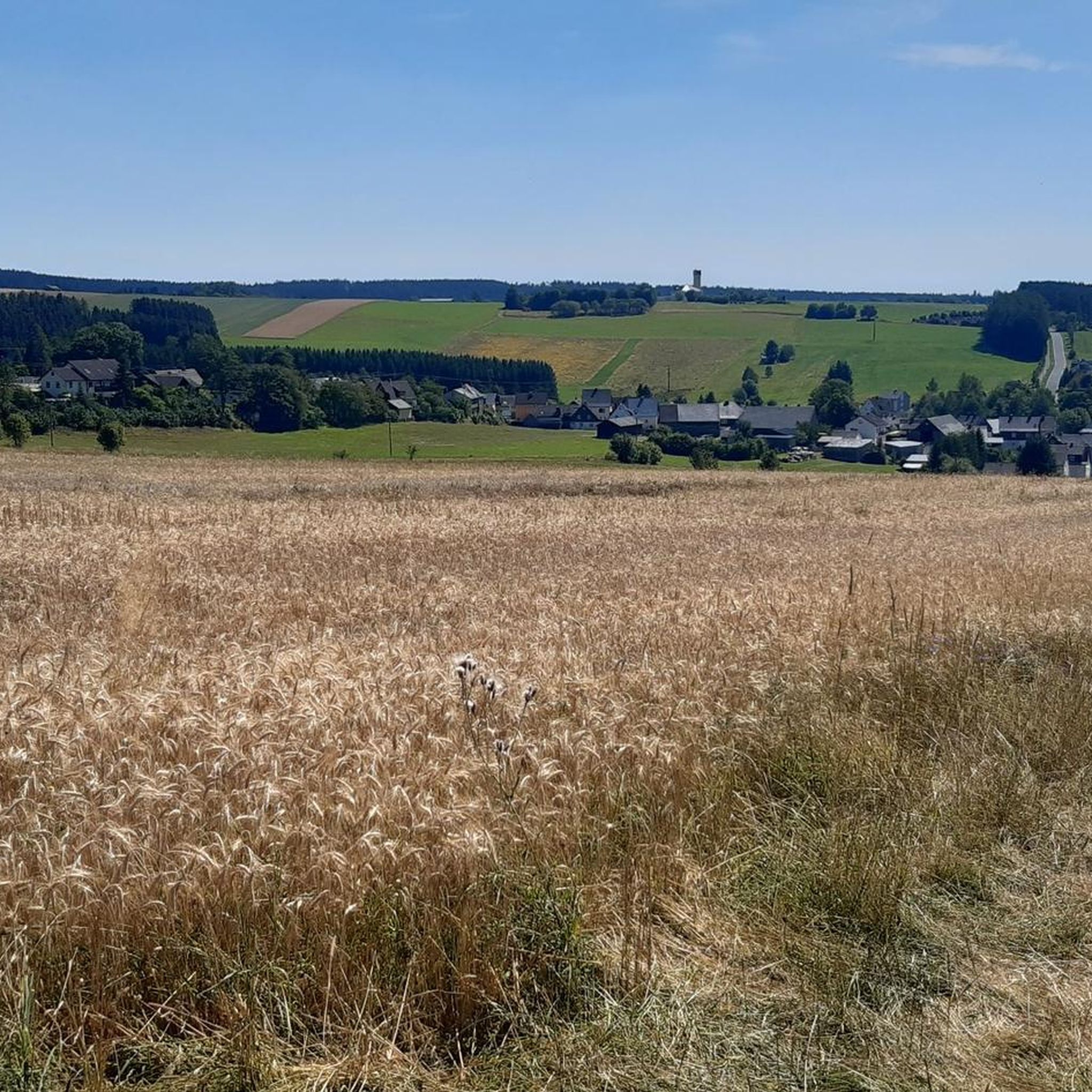
The Teuschnitzer-Panoramaweg R 71 specifically encircles Teuschnitz, offering continuous views of the town and the Teuschnitz-Aue (floodplain). The Galgenberg, an elevated area along this path, provides excellent scenic overlooks. Many of the summits, such as Schloßberg Nordhalben Summit and Steinberger Cross, also offer expansive views of the Frankenwald.
Are dogs allowed on the hiking trails and elevated areas around Teuschnitz?
The Franconian Forest is generally dog-friendly, and many hiking trails are suitable for dogs. However, it's always recommended to keep dogs on a leash, especially in nature reserve areas or near wildlife, and to check for any specific local regulations or signage at trailheads.
What is the highest point in the immediate vicinity of Teuschnitz?
While Teuschnitz itself sits at an elevation of 614 meters, the region features several higher points. The Wildberg Summit reaches 735 meters, making it one of the highest points in the Kronach district. The Wetzstein Summit, at 792 meters, is the highest mountain in eastern Thuringia, located at the transition of the Franconian Forest to the Thuringian Slate Mountains.
What makes the Teuschnitz-Aue (floodplain) a significant natural highlight?
The Teuschnitz-Aue, while not a peak, is a significant landscape protection area renowned for its rich biodiversity. It's particularly famous for its thousands of yellow-flowering Arnica plants, which create a 'feast for the senses' in spring and autumn. Hiking through this area allows visitors to experience the region's distinctive flora and tranquil environment, often with elevated sections offering unique views.
Most popular routes around Teuschnitz
Most popular attractions around Teuschnitz

Get inspired with the komoot mobile app


Explore more
See even more amazing summits around Teuschnitz with these guides:
