The 8 Most Amazing Peaks around Burgkunstadt
Best mountain peaks around Burgkunstadt are characterized by elevated areas and natural formations rather than towering peaks, offering rewarding experiences for visitors. The region features charming landscapes, including meadows, riverbanks, and quiet forests, alongside striking sandstone cliffs. These natural attractions provide viewpoints, unique geological features, and opportunities for hiking and exploration. The area is well-suited for walking and hiking, with approximately 60 km of well-marked regional hiking trails.
Best mountain peaks around Burgkunstadt
- The most popular mountain peaks is ⛰️…
Last updated: July 10, 2026
⛰️ Great Kordigast
Highlight • Summit
Translated by Google •
Tip by

Hohe Asslitz Summit
Highlight • Summit
Translated by Google •
Tip by

Sign up now to discover places like this
Get recommendations on the best single tracks, peaks, & plenty of other exciting outdoor places.
Sign up for free
Großer Roter Bühl
Highlight • Summit
Translated by Google •
Tip by

Keltenwall Külmitzberg
Highlight • Historical Site
Translated by Google •
Tip by

Külmitz Summit Trail
Highlight (Segment) • Trail
Translated by Google •
Tip by
Sign up for free to discover even more peaks around Burgkunstadt.
Sign up for free
Already have an account?
Start today with a free account
Your next adventure awaits.
Login or Signup
Popular around Burgkunstadt
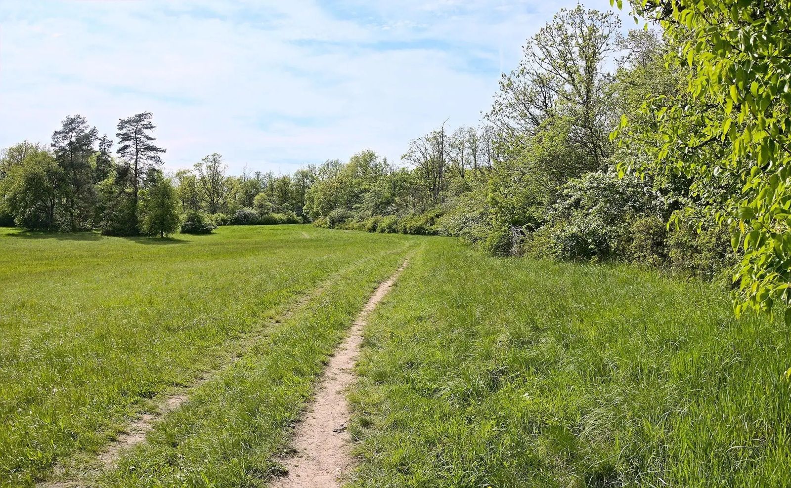
Gravel meets rail – gravel rides in the greater Nuremberg area
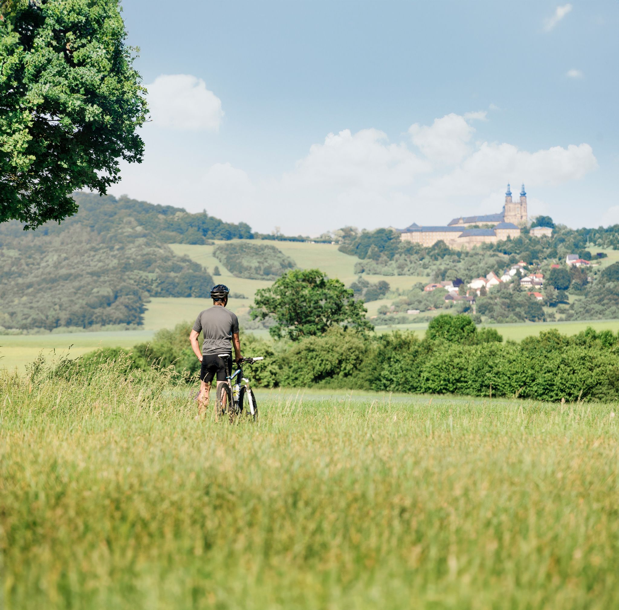
Panoramic cycling in the Obermain.Jura – discovering Franconia by bike
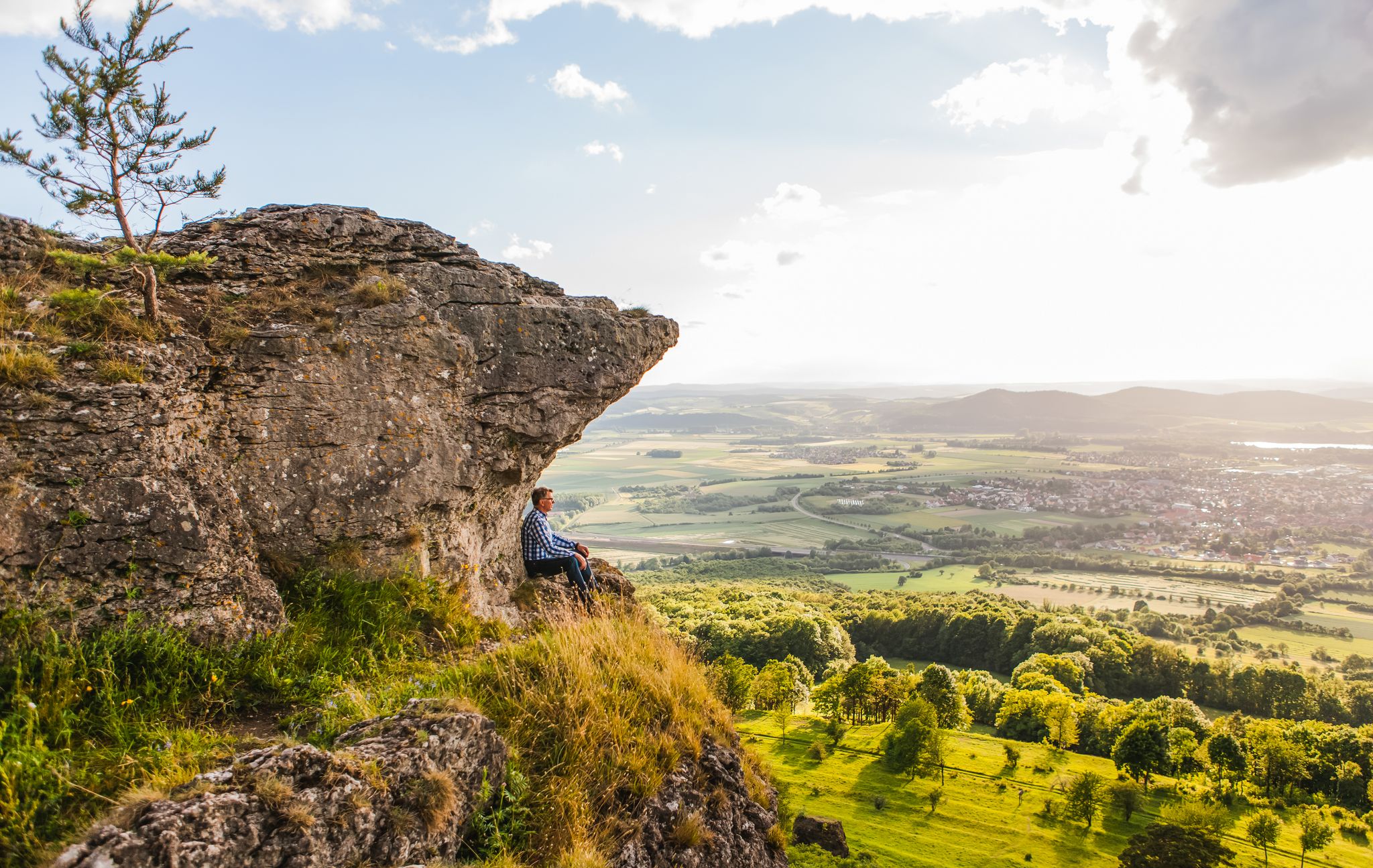
Our 10 favourite Tours through Upper Main’s Garden of Eden
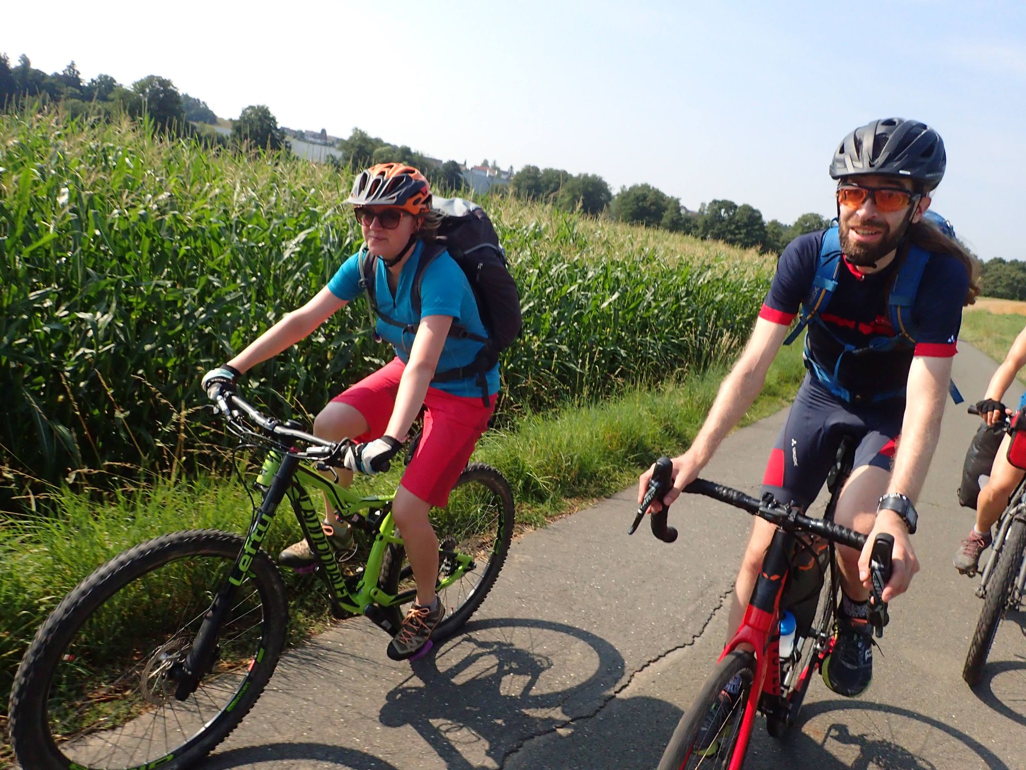
Bike tours in Franconia and Upper Palatinate — VGN leisure tips
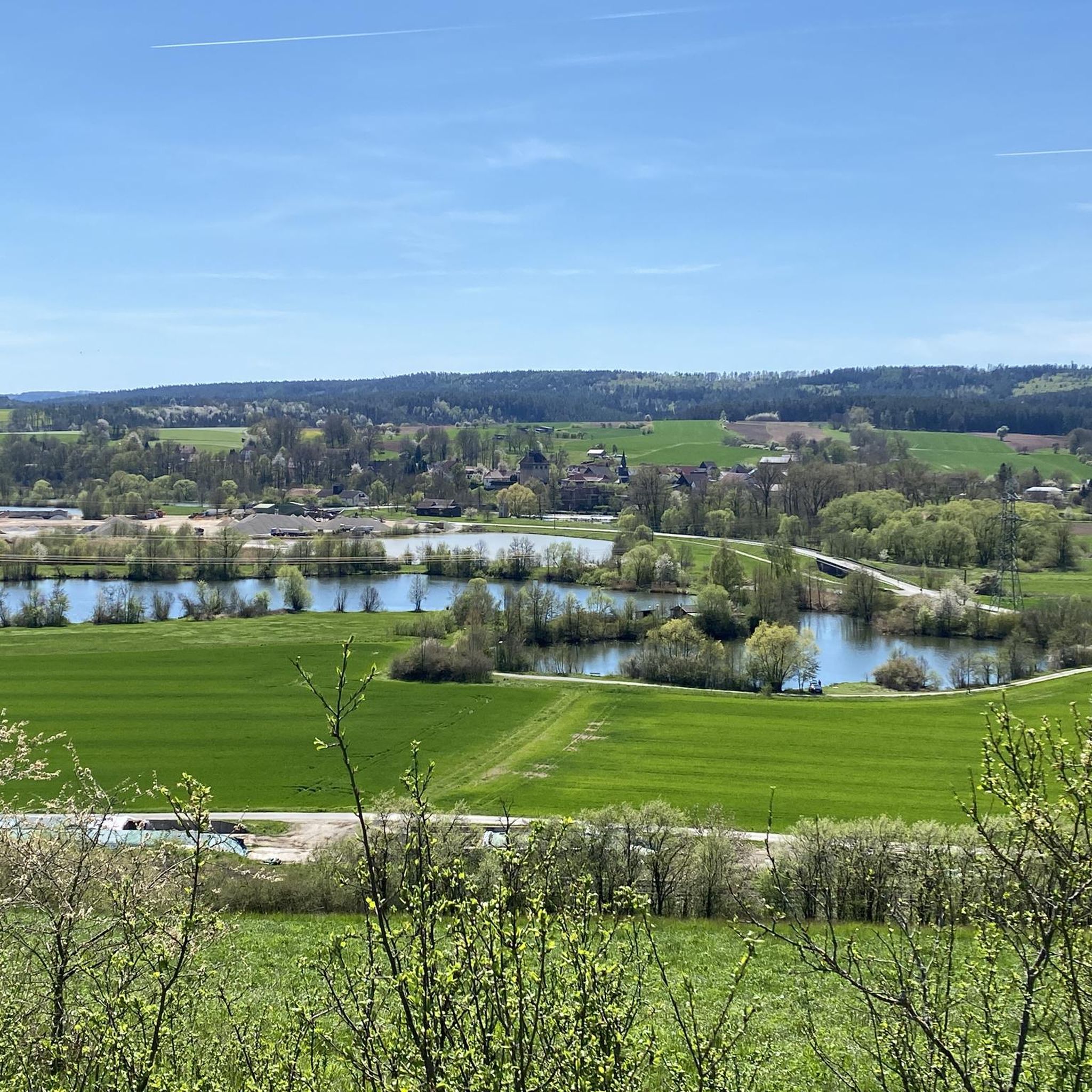
Hiking around Burgkunstadt
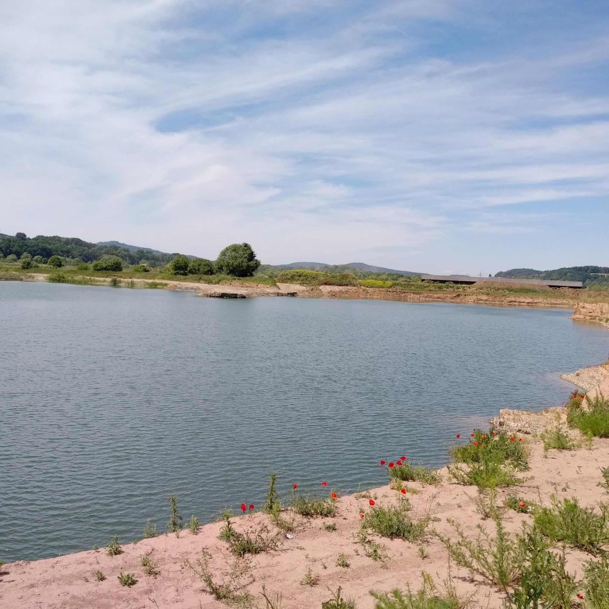
Cycling around Burgkunstadt
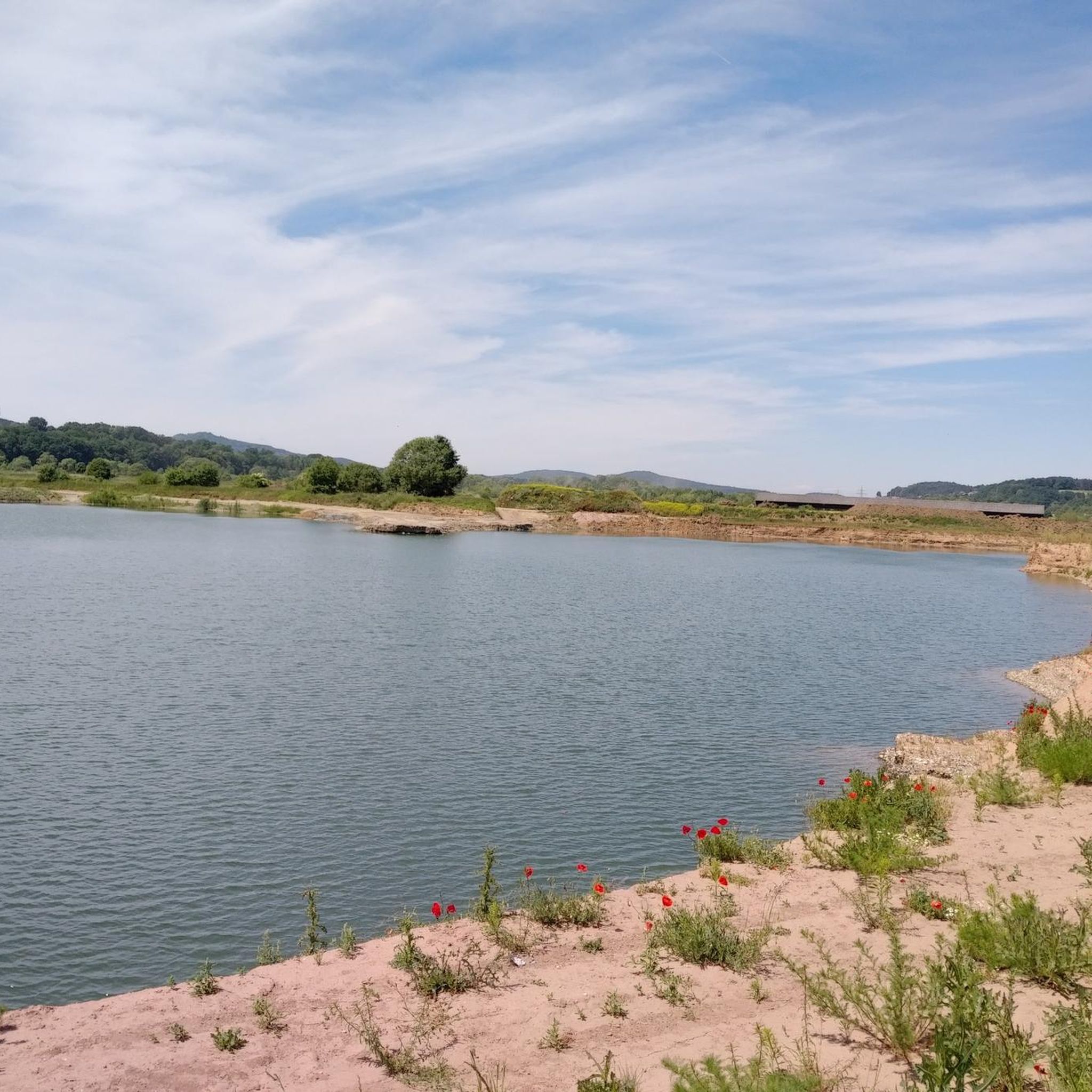
MTB Trails around Burgkunstadt
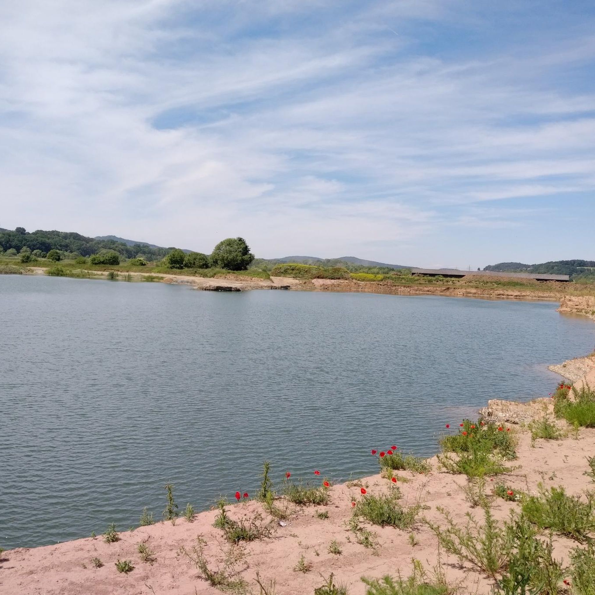
Road Cycling Routes around Burgkunstadt
Running Trails around Burgkunstadt
Gravel biking around Burgkunstadt
Other adventures around Burgkunstadt


Tips from the Community


Please note: West of the Roten Bühl, a large amount of forest has been cleared, and new paths have been created in the process. Here, you have to explore the paths yourself, and sometimes you won't find the old, familiar paths again. It's impossible to get lost, as a wide forest road leads around three-quarters of the hill a little lower down. From the forest road, a beautiful forest path leads west to the 7Fuhren (7-horse carriages), and from there, you'll eventually reach the Lucas Cranach Tower, which is well-marked. You can also head for the houses north of the hill and walk back to Staibra on the paved road.
0
0


Not only traces of the Celtic era can be found on the "Korches," as it is called by the locals, but rare plants such as the Kordigast whitebeam are also native here. From its plateau, the Grosser Kordigast offers, on a clear day, distant views as far as the Franconian Forest and the Fichtel Mountains. Family-friendly hiking trails lead along the "Schlauwienix" nature trail to the popular "Spielwienix" adventure playground.
16
0

Always a beautiful destination! With information board, bench and table, summit cross and summit book. Only the view is slowly getting darker.
4
1

The view of the Main Valley and the Staffelberg has now become overgrown again.
2
0
Small hill with a summit cross and a little book to immortalize.
4
1

The Hohe Asslitz is a sandy hill in the middle of a large forest area between the Coburg region and the Obermain valley. From its 378 meters high there is a clear view again today. Reason enough that the HINTERINDIEN.DE tour, which originally immigrated in March 2011, has been updated again in 2021. Because this mountain, which remained in a deep slumber for years, has now been "awakened" again. It forms the center of a pleasantly quiet local recreation area. And because the forests on the summit of the Hohe Asslitz have now been thinned out a bit, since 2016 you can finally enjoy the views of the Obermaintal, the Staffelberg, the Veste Coburg and even the Blessberg in the Thuringian Forest. (Source: https://www.hinterindien.de)
4
0
Frequently Asked Questions
Where can I find the best panoramic views near Burgkunstadt?
For expansive vistas, head to Großer Kordigast, which offers views of the Plassenburg in Kulmbach and the Veste Coburg, extending to the Franconian Forest and Fichtel Mountains. The Spitzberg also provides a 'fabulous long-distance view' across Franconian Switzerland, the Fichtel Mountains, the Franconian Forest, and the Thuringian Forest. The Hohe Asslitz Summit, at 378 meters, now offers clear views of the Obermaintal, the Staffelberg, the Veste Coburg, and the Blessberg in the Thuringian Forest after recent thinning of trees.
Are there family-friendly mountain walks around Burgkunstadt?
Yes, the region offers several options suitable for families. Großer Kordigast features family-friendly hiking trails, including the 'Schlauwienix' nature trail leading to the popular 'Spielwienix' adventure playground. The Ebnether Felsentor and Ebneth Rock Formations also provide an adventurous and easily accessible exploration opportunity for families interested in unique geological features.
What unique natural formations can I explore near Burgkunstadt?
The Ebnether Felsentor and Ebneth Rock Formations are a must-see. The Ebnether Felsentor is an impressive natural archway, and the Ebneth cellars area features over 1,000 massive sandstone blocks forming narrow passages, caves like Jakobshöhle and Franzenshöhle, and crevices. These formations are composed of Rhaetian-Lias sandstone and are a protected natural monument.
Are there any historical sites among the elevated areas near Burgkunstadt?
Yes, Keltenwall Külmitzberg is a notable historical site and summit. Additionally, Großer Kordigast has traces of the Celtic era, and the Ebneth cellars, part of the rock formations, were originally carved around 1790 for storage.
What is the difficulty level of hiking trails around Burgkunstadt's elevated areas?
The region offers a range of difficulties. You'll find intermediate trails leading to summits like Großer Kordigast and Hohe Asslitz Summit. Some areas, like Keltenwall Külmitzberg, offer challenging trails with technical descents. There are also easier, family-friendly options and quiet paths through forests and open fields.
Are there any quiet or less-visited elevated spots near Burgkunstadt?
For tranquility, the Großer Roter Bühl is known for its peace and quiet, as it's hardly visited. While it doesn't offer views, its surrounding forest paths are interesting to explore. The Spitzberg also provides a peaceful hiking experience with panoramic vistas.
What outdoor activities can I do near the elevated areas of Burgkunstadt?
The region is excellent for various outdoor activities. You can enjoy extensive hiking and walking on approximately 60 km of well-marked regional trails. There are also opportunities for gravel biking, cycling, and running. For specific routes, explore the guides for Gravel biking around Burgkunstadt, Cycling around Burgkunstadt, and Running Trails around Burgkunstadt.
When is the best time of year to visit the elevated areas around Burgkunstadt?
The region's charming landscapes, including meadows, riverbanks, and forests, are enjoyable throughout the warmer months, typically from spring to autumn, for hiking and cycling. These seasons offer pleasant weather for outdoor exploration and clear views from the summits. Winter hiking is also possible, but conditions may vary, so checking local forecasts is advisable.
Can I expect to see any unique wildlife or plants on the elevated areas?
Yes, particularly on Großer Kordigast, you might encounter rare plants such as the Kordigast whitebeam. The quiet paths through forests and open fields also provide opportunities for observing local flora and fauna.
Are there specific trails for mountain biking near Burgkunstadt's elevated areas?
While many trails are suitable for hiking, some areas like the Külmitz Summit Trail offer challenging sections specifically for mountain bikes, including steep descents. For more mountain biking options, refer to the Gravel biking around Burgkunstadt guide.
What kind of terrain can I expect on hikes around Burgkunstadt?
The terrain around Burgkunstadt is diverse, featuring charming landscapes with meadows, riverbanks, gentle slopes, and quiet pine forests. You'll also encounter striking sandstone cliffs and unique rock formations, particularly around Ebneth. Trails can range from easy paths to more challenging, technical sections with significant elevation changes.
Are there any circular walks that include the elevated areas?
The region is well-suited for circular walks, with approximately 60 km of well-marked regional hiking trails. Many routes incorporate the elevated areas and natural formations, such as the upper Gottesgarten circular trail which passes close to the Ebnether Felsentor. You can find various circular routes in the Running Trails around Burgkunstadt guide, which often double as pleasant walking paths.
Most popular routes around Burgkunstadt
Most popular attractions around Burgkunstadt

Get inspired with the komoot mobile app


Explore more
See even more amazing summits around Burgkunstadt with these guides:
