Top 7 Gorges around Malterdingen
Best canyons around Malterdingen are characterized by unique geological features, including loess hollow ways and river valleys. The region's landscape is shaped by natural processes, creating distinct ravines and pathways. These areas provide habitats for various species and offer insights into the local geology. The natural formations around Malterdingen are suitable for exploration.
Best canyons around Malterdingen
- The most popular canyons is Loess Hollow Way in Kaiserstuhl, a gorge that features impressive ravines in loess soil. This area provides…
Last updated: June 27, 2026
Loess Hollow Way in Kaiserstuhl
Highlight • Gorge
Translated by Google •
Tip by

Loess hollow way at the Kaiserstuhl
Highlight • Gorge
Translated by Google •
Tip by

Sign up now to discover places like this
Get recommendations on the best single tracks, peaks, & plenty of other exciting outdoor places.
Sign up for free
Löss hollow lane
Highlight • Gorge
Translated by Google •
Tip by

Litzelwälderbächle Valley
Highlight (Segment) • Trail
Translated by Google •
Tip by

Kinzig Hollow Way
Highlight • Gorge
Translated by Google •
Tip by

Sign up for free to discover even more gorges around Malterdingen.
Sign up for free
Already have an account?
Start today with a free account
Your next adventure awaits.
Login or Signup
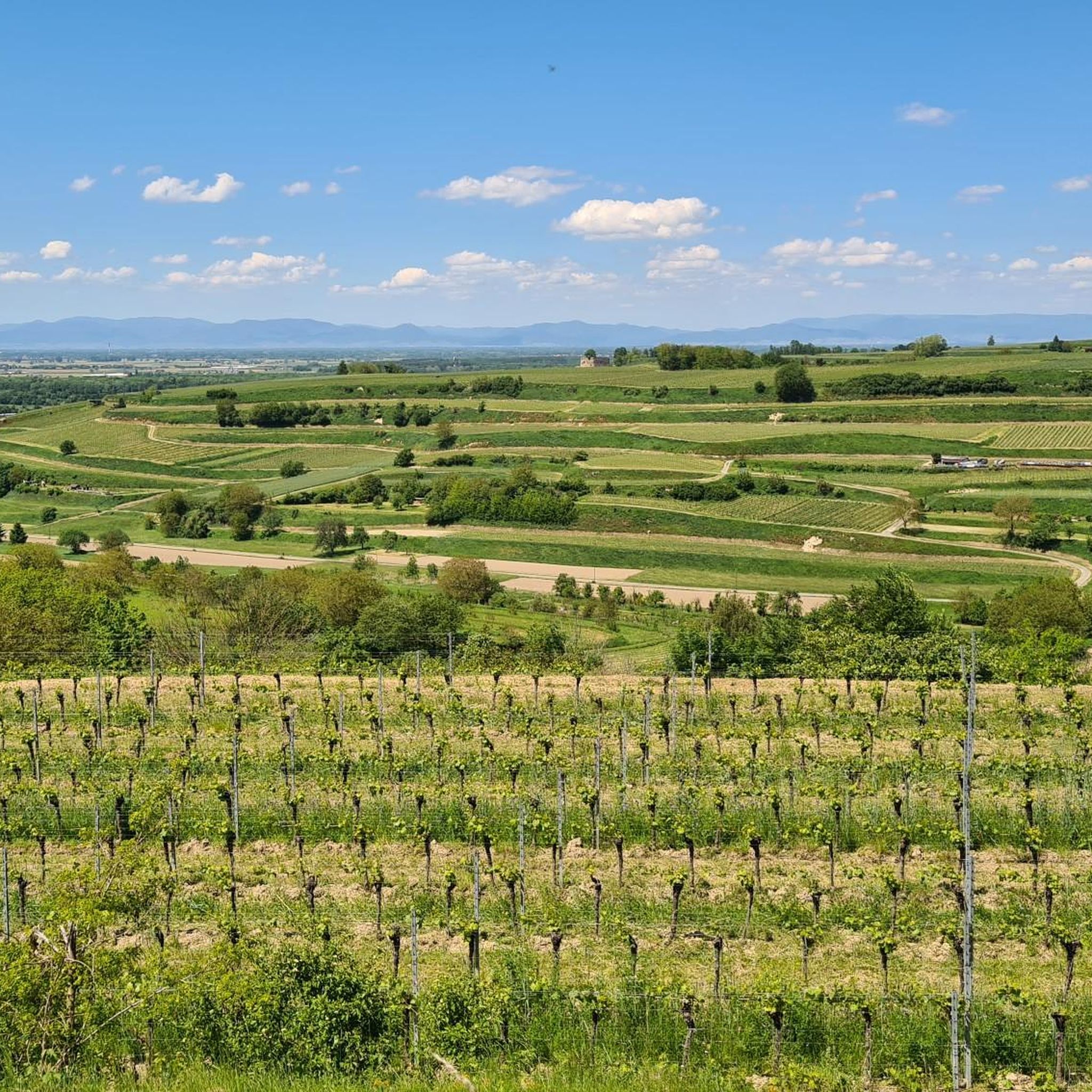
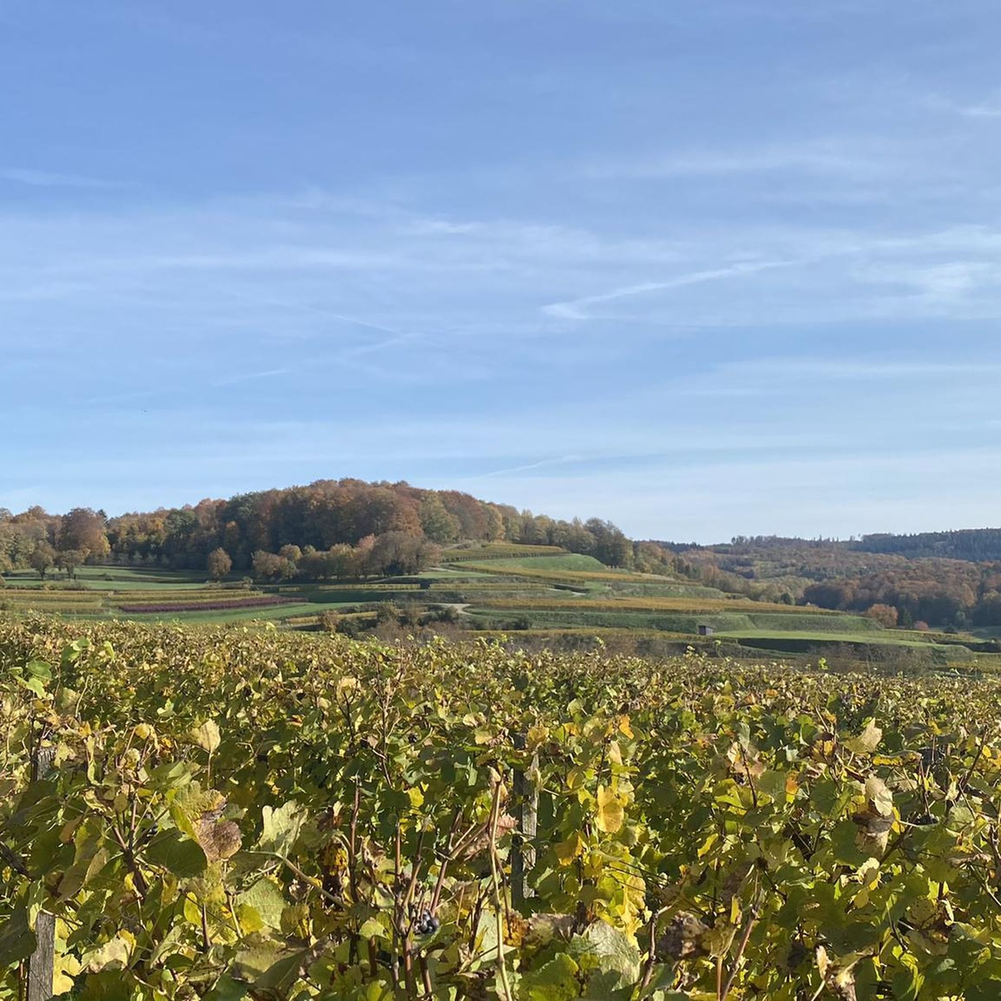
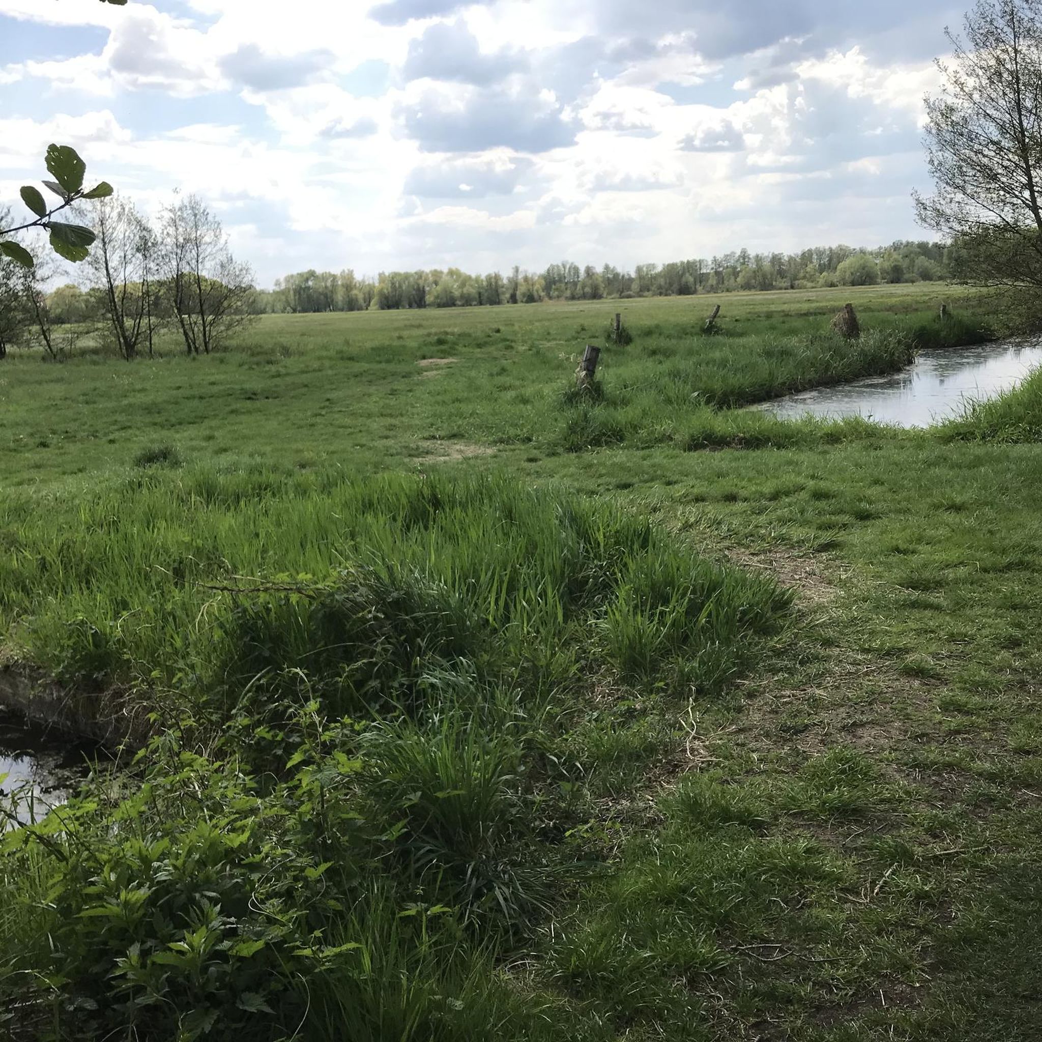
Other adventures around Malterdingen

Tips from the Community

Loess is soil that has been blown here by the wind. The loess layer is up to 30 m thick, especially on the Kaiserstuhl. Loess is very stable, except when paths damage the surface. Then a furrow forms first, but further use as a path, as well as running water, digs the path deeper and deeper, creating a hollow way. The walls can be steep, often even vertical.
3
0

Stop by one of the wine bars and enjoy a Kaiserstuhl wine
0
0

Typical paths between the vines
0
3

Old ravines used to be called Kinzig (also Kinzge or Chinzig, a regional name for a loess ravine).
0
0

I really like hollow paths like this and the vertical loess walls provide a habitat for a number of bird species that nest in the walls.
0
0

I found it impressive to walk through the ravine today and imagine how it has made its way for hundreds of years.
2
0
I found it impressive to walk through the ravine today and imagine how it has made its way for hundreds of years.
3
1

Frequently Asked Questions
What types of canyons and gorges can I explore around Malterdingen?
The area around Malterdingen is primarily known for its unique loess hollow ways and river valleys. These natural formations feature impressive ravines with vertical loess walls, providing distinct pathways and habitats. Examples include the Loess Hollow Way in Kaiserstuhl and Löss hollow lane.
What is the most significant canyon in the broader region near Malterdingen?
While Malterdingen itself features loess hollow ways, the most significant canyon in the broader region is the Wutach Canyon, often called Germany's largest canyon. Located in the Southern Black Forest Nature Park, it's renowned for its depth, wild rivers, and diverse ecosystem, stretching over 33 kilometers.
What unique natural features and wildlife can I find in the loess hollow ways?
The loess hollow ways are ecologically rich. They feature impressive ravines in loam soil and vertical loess walls that serve as breeding grounds for various bird species, including bee-eaters, and provide habitats for wild bees. The Loess Hollow Way in Kaiserstuhl is a prime example.
Are there any challenging trails or climbs within the gorges near Malterdingen?
Yes, for those seeking a challenge, the Litzelwälderbächle Valley offers a challenging trail. It's a romantic valley route along the Bächle with a notable, crisp climb, including sections with an 18 percent incline.
What is the best time of year to visit the canyons and gorges in this region?
For the Wutach Canyon, the best seasons to visit are early summer and autumn, especially for the vibrant fall foliage. Paths can be wet and slippery, so good footwear is essential. For the loess hollow ways, spring and autumn offer pleasant temperatures and beautiful scenery.
Are there family-friendly options for exploring the canyons and gorges?
Many of the loess hollow ways offer accessible paths suitable for families, allowing for easy walks through impressive ravines. While some trails in the Wutach Canyon can be challenging, there are also sections and shorter routes suitable for children. Always check specific trail conditions before heading out.
What kind of geological insights can I gain from visiting these areas?
The Wutach Canyon is geologically significant, offering insights into Earth's history with its rock layers, karst formations, sinkholes, and various fossils like ammonites and belemnites. The loess hollow ways around Malterdingen showcase unique formations carved by wind and water over millennia, revealing the region's distinct soil composition.
What outdoor activities can I do near these canyons and gorges?
Beyond exploring the gorges, the region offers a variety of outdoor activities. You can find numerous routes for cycling, mountain biking, and running. For cycling, explore routes like the 'Königschaffhauser Gate – Endingen Town Gate loop' from the Cycling around Malterdingen guide. Mountain bikers can check out trails like the 'Hochburg Castle Ruins loop' in the MTB Trails around Malterdingen guide, and runners can find routes like the 'Unteres Schloss loop' in the Running Trails around Malterdingen guide.
Is the Texaspass a canyon, and what does it offer?
The Texaspass (also known as 'Auf dem Eck') is not a geological canyon but a scenic mountain pass in the Kaiserstuhl region. It's known for its winding roads and panoramic views of vineyards and the distant Vosges mountains. It's popular for cycling and driving, offering picturesque journeys and a notable viewpoint marked by a stele. You can find more information about this viewpoint on Schwarzwald Tourismus.
What do visitors enjoy most about the loess hollow ways around Malterdingen?
Visitors frequently express awe at the impressive ravines and vertical loess walls. Many find it fascinating to walk through these ancient pathways and imagine their formation over hundreds of years. The unique habitats they provide for bird species, like bee-eaters, are also a highlight for nature enthusiasts.
Are there any specific tips for hiking in the loess hollow ways?
When hiking in the loess hollow ways, be aware that the paths can sometimes be narrow and, depending on recent weather, potentially muddy or slippery. Good, sturdy footwear is always recommended. The unique loess soil can be fragile, so staying on marked paths helps preserve these natural monuments.
How accessible are the main canyon areas, and is parking available?
For the Wutach Canyon, various parking areas provide access, including Wutachmühle, Boll, and Schattenmühle. A hiking bus also operates seasonally. For the loess hollow ways around Malterdingen, access points often have nearby parking, though it's advisable to check local signage. The Lösshohlweg at Schönenberg, for instance, is accessible by car up to a certain point.
Most popular routes around Malterdingen
Most popular attractions around Malterdingen

Get inspired with the komoot mobile app


Explore more
Already discovered everything in this region? See additional gorges around Malterdingen for your next adventure:
