The 5 Most Amazing Peaks around Busdorf
Best mountain peaks around Busdorf are found within a landscape characterized by low elevation, rolling hills, and green forests. The region averages 18 meters above sea level, with a maximum elevation of about 31 meters. This area is notable for its historical significance, particularly from the Viking Age, featuring sites like Haithabu and the Danewerk. The gentle terrain offers opportunities for hiking and exploring ancient settlements and defensive structures.
Best mountain peaks around Busdorf
- The most popular mountain peaks is…
Last updated: June 27, 2026
Heidberg Summit and Trails
Highlight • Summit
Translated by Google •
Tip by

Summit cross with logbook (Scheelsberg, Hüttener Berge)
Highlight • Summit
Translated by Google •
Tip by

Sign up now to discover places like this
Get recommendations on the best single tracks, peaks, & plenty of other exciting outdoor places.
Sign up for free
Scheelsberg Summit
Highlight • Summit
Translated by Google •
Tip by

Immenberg
Highlight • Forest
Translated by Google •
Tip by
Summit Cross on Mount Hatten
Highlight • Summit
Translated by Google •
Tip by

Start today with a free account
Your next adventure awaits.
Login or Signup
Popular around Busdorf
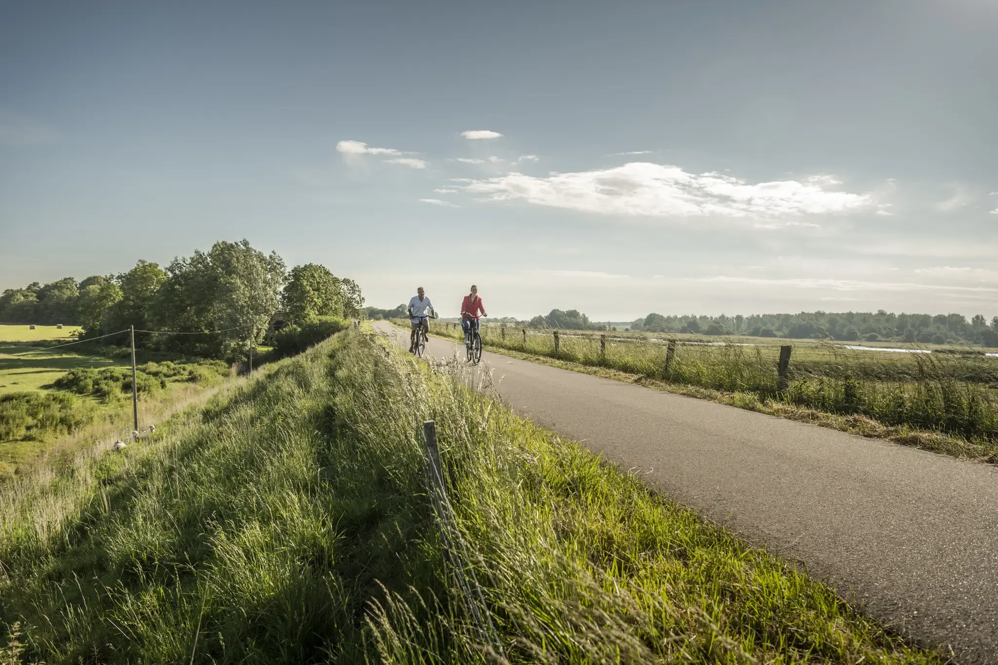
Coast to Coast on historic trails – Viking-Frisian Route
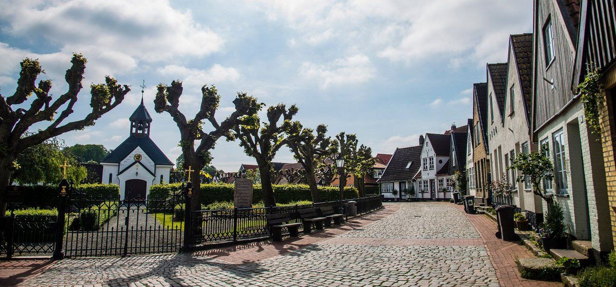
Mini cycling tour region Schleswig
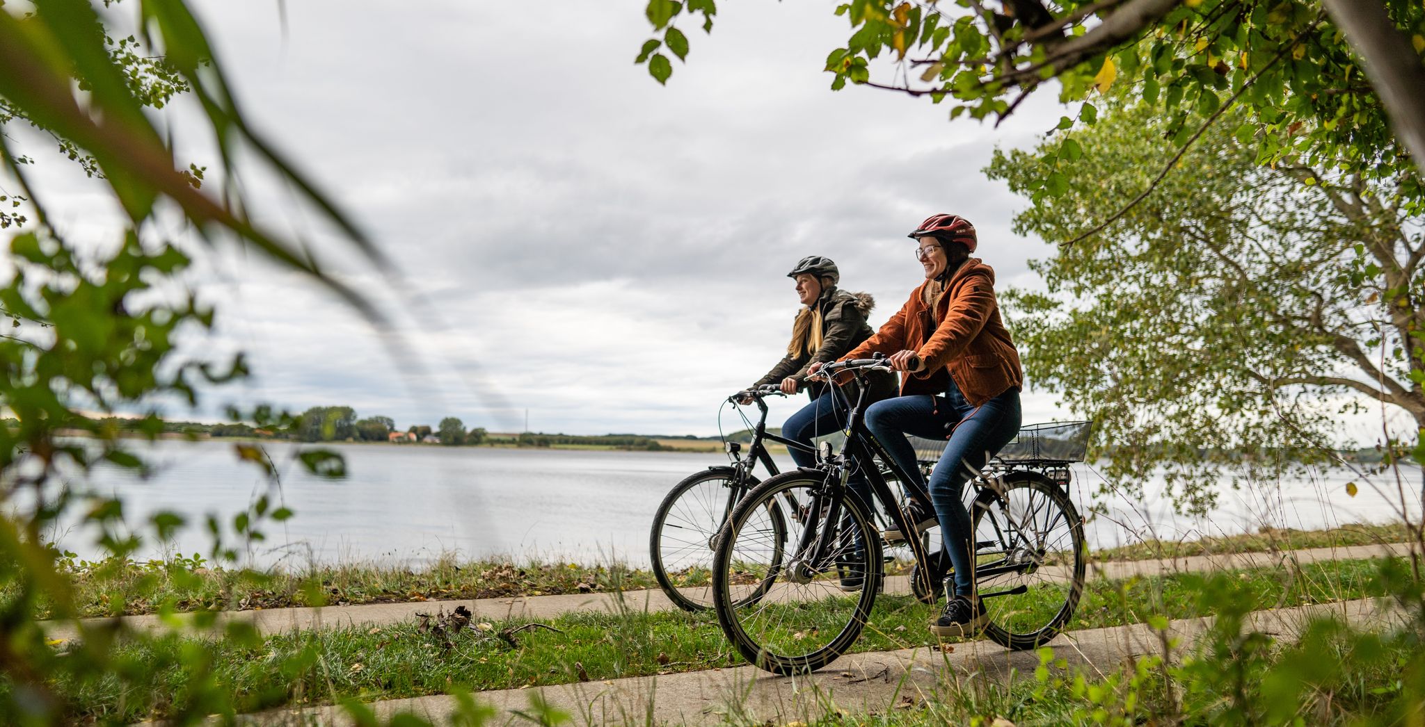
Cycling in Germany’s northern Binnenland – cycle paths through flat landscapes
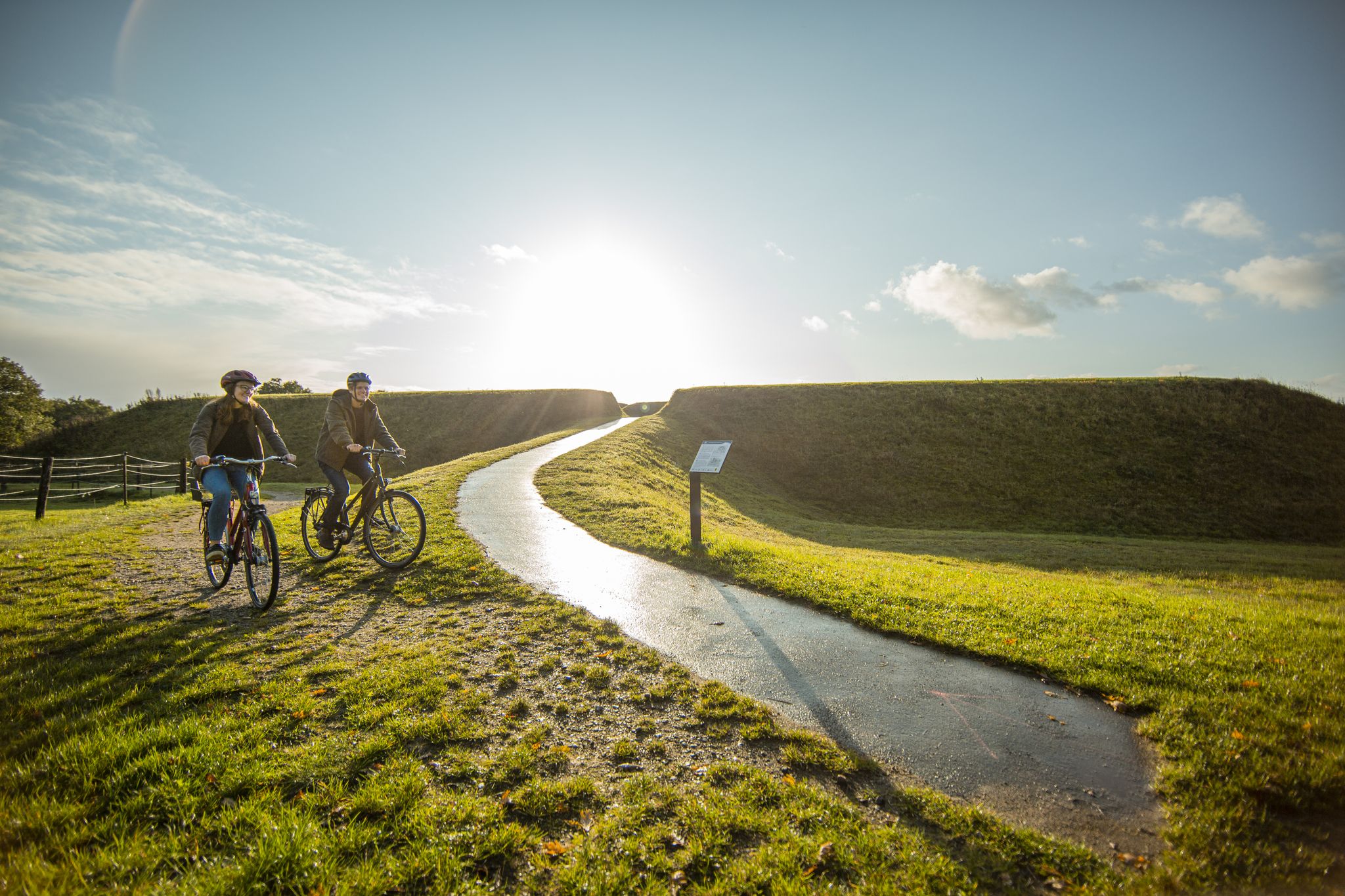
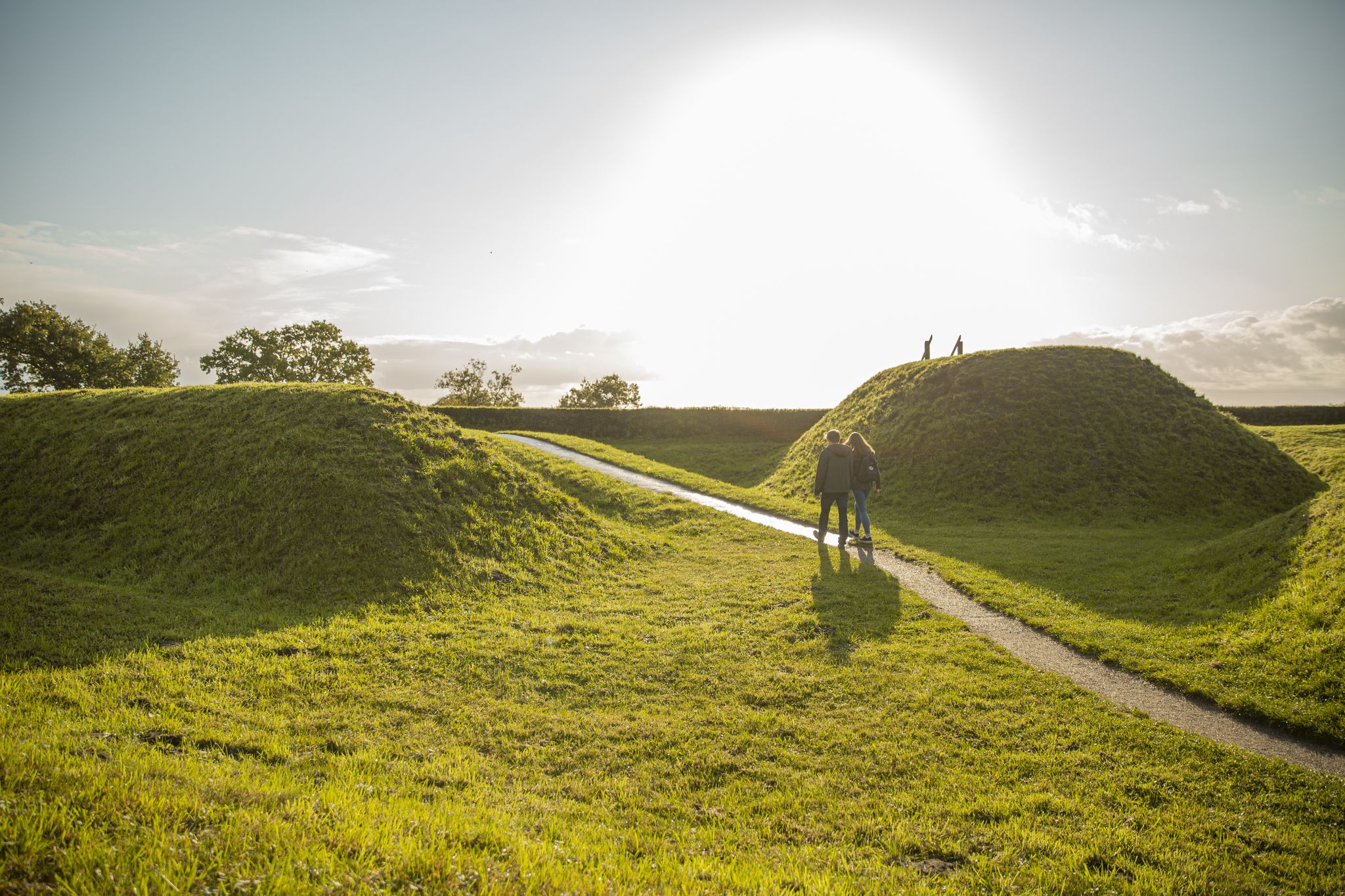
Cycling at the World Heritage Haithabu and Danewerk – Baltic Sea Fjord Schlei
Hiking through a Viking World Heritage Site — Schlei Baltic Sea Fjord
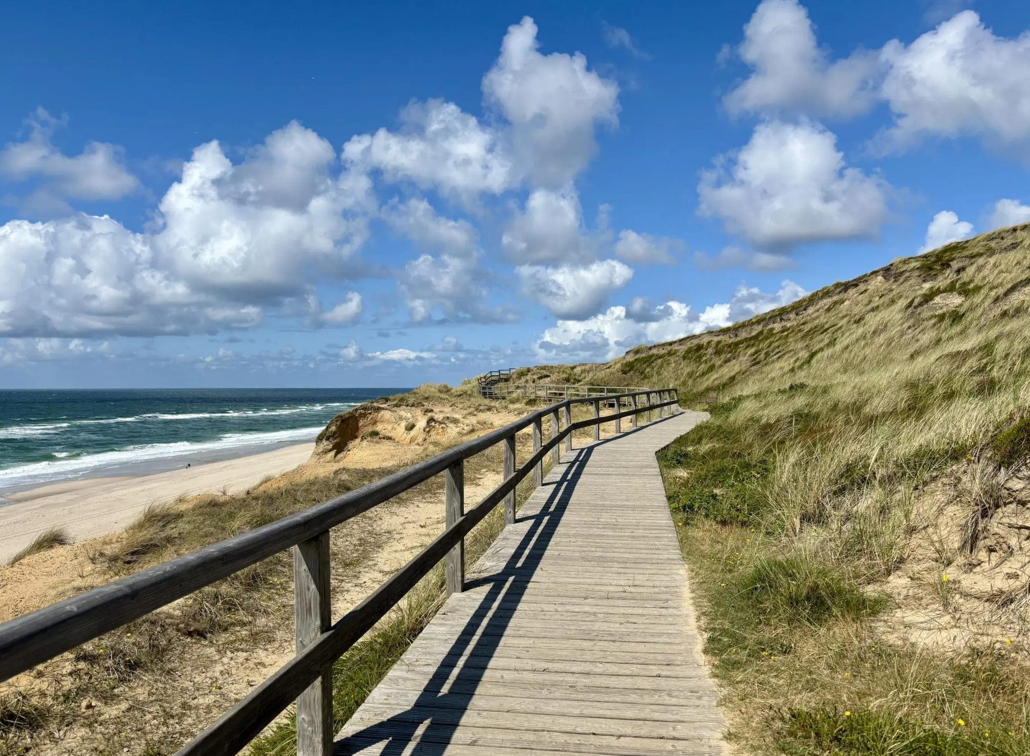
Zwischen Meer, Wald & Dünen – Mikroabenteuer in Schleswig-Holstein & Hamburg
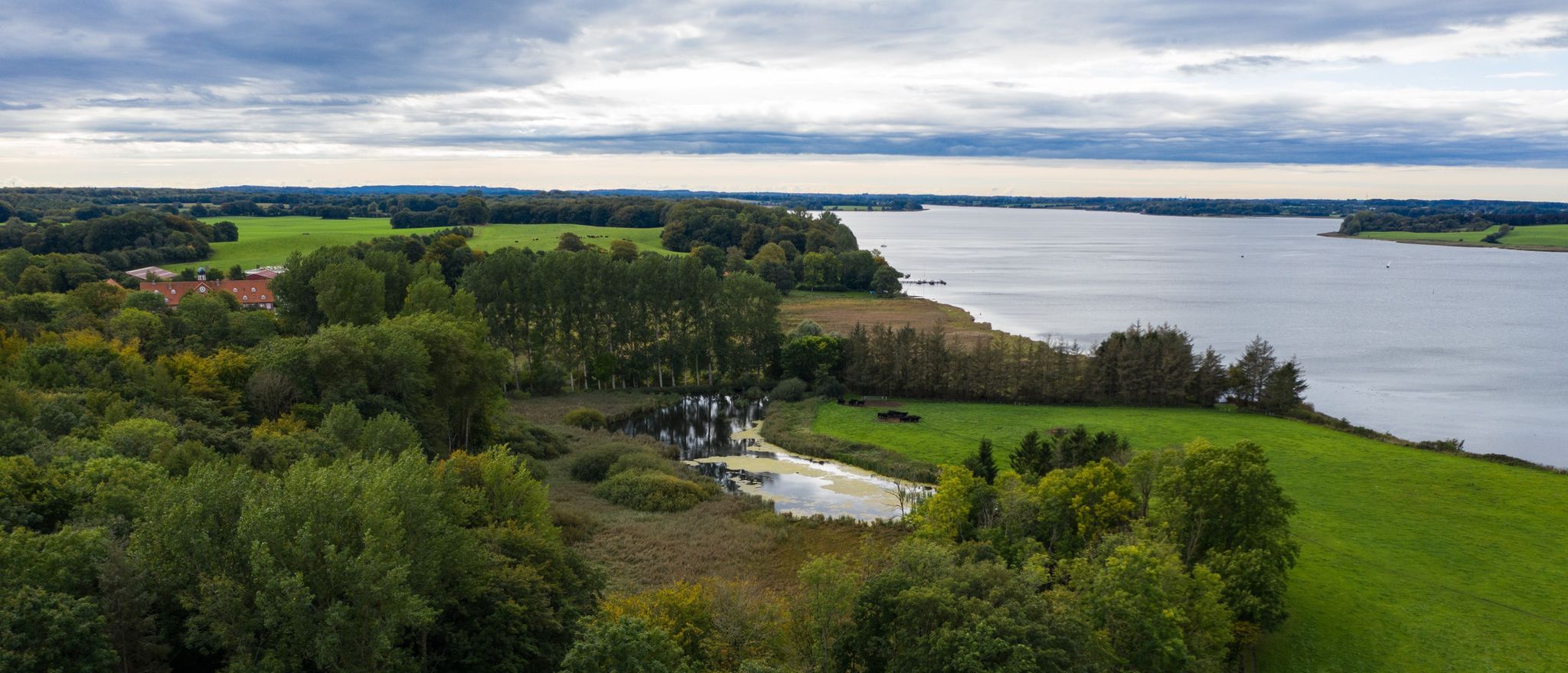
Wandern an der Schlei
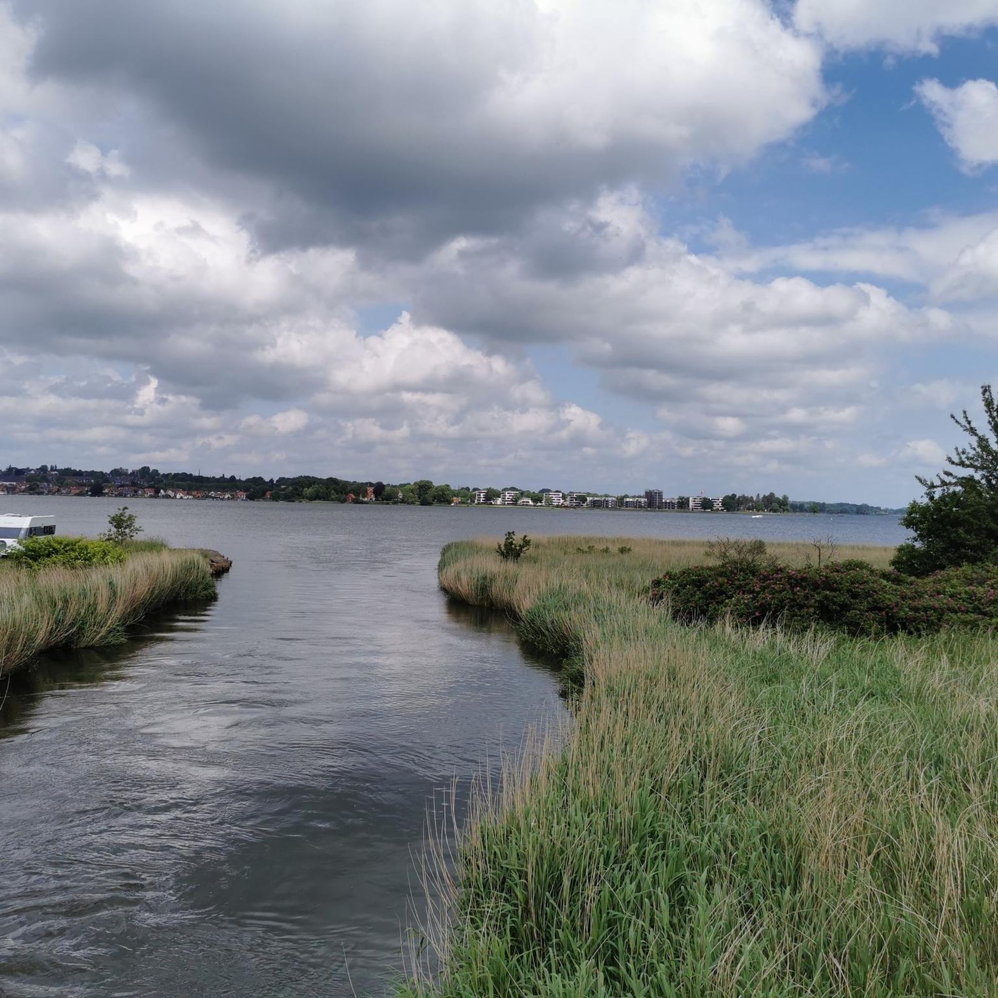
Hiking around Busdorf
Road Cycling Routes around Busdorf
Cycling around Busdorf
Other adventures around Busdorf


Tips from the Community

The summit is on the map and probably attracts one or two "mountaineers" to the top. But since there is neither a path to the summit nor anything exciting to see, you can just leave nature alone.
1
0

I couldn't find it. I wonder if it's still there?
0
0

On the summit there is a green and yellow pole behind a wildlife fence. Hardly worth it, even the short detour.
3
0
A 30 m long branch path leads from the hiking trail towards the summit. Here you stop at a wildlife fence. Behind it a green-yellow pole marks the summit.
4
0
The pictures show it: NO summit cross.
6
0
At 106m the highest elevation in the nature park - at the top only a yellow stick in a delimited piece of forest as a marking.
3
0

The highest elevation in the Hüttener Berge is the Scheelsberg near Ascheffel at 105.8 m. It is easy to reach until just before the summit. Unfortunately, the "summit" itself is unspectacular, fenced in and so densely overgrown that you have no views. But it is the highest elevation here and therefore of course a highlight.
2
0
Frequently Asked Questions
What kind of elevated points or 'peaks' can I expect to find around Busdorf?
The Busdorf region is characterized by a low elevation, with its highest point reaching about 106 meters. Instead of traditional mountain peaks, you'll discover
rolling hills, historical ramparts, and elevated viewpoints that offer scenic perspectives over the landscape. These 'peaks' are often integrated into hiking trails and provide opportunities to explore the region's rich Viking Age history.
Are there any notable historical sites associated with the elevated areas around Busdorf?
Yes, the region is rich in history, particularly from the Viking Age. Elevated areas like the Haithabu Ramparts and the Danewerk are significant historical sites. These ancient defensive structures and trading centers offer unique walking experiences with historical context, allowing you to explore an undulating landscape with a past.
What are some of the most popular elevated spots for outdoor activities near Busdorf?
Visitors frequently enjoy Heidberg Summit and Trails, known for its technical mountain biking sections and rewarding outlooks after a forest climb. Another popular spot is the Summit cross with logbook (Scheelsberg, Hüttener Berge), which is considered one of the most interesting mountain bike areas in the region.
Where is the highest point in the nature park around Busdorf, and what can I find there?
The highest elevation in the nature park is the Scheelsberg Summit, standing at 106 meters. It's marked by a yellow stick in a delimited piece of forest. While there isn't a traditional summit cross, it offers a sense of achievement for those exploring the local terrain.
Are there family-friendly hiking options around the elevated areas of Busdorf?
Yes, the gentle terrain and historical sites make for excellent family-friendly walks. Routes like the Haithabu Ramparts – Margarethenwall loop or the Path on the Danewerk Ramparts are generally easy and offer engaging historical context for all ages. The Scheelsberg Summit is also noted as dog-friendly, making it suitable for families with pets.
What kind of views can I expect from the elevated points in the Busdorf area?
From various elevated points and viewpoints, you can expect scenic outlooks over the
rolling hills, green forests, and bodies of water like the Haddebyer and Selker Noor. Some spots, like Heidberg Summit and Trails, are specifically highlighted for their sensational outlooks.
What outdoor activities are popular near the elevated areas of Busdorf?
The region is popular for hiking, mountain biking, and road cycling. You can find dedicated guides for these activities, such as MTB Trails around Busdorf, Hiking around Busdorf, and Road Cycling Routes around Busdorf. These guides feature various routes that incorporate the region's elevated points and historical landmarks.
Are there any challenging trails for experienced hikers or mountain bikers?
While the overall elevation is low, some areas offer more challenging sections. Heidberg Summit and Trails, for instance, features technical sections for mountain biking that are described as sometimes demanding. The Hüttener Berge area, where the Summit cross with logbook is located, is also considered an interesting mountain bike area.
What are some recommended hiking routes that include historical sites near Busdorf?
For a blend of history and nature, consider the Haithabu Viking Houses – Haddebyer Noor loop or the Boardwalk over the Selker Noor – Haithabu Ramparts loop. These routes allow you to explore ancient Viking settlements and defensive structures amidst the gently undulating landscape.
What do visitors appreciate most about the elevated areas and trails around Busdorf?
Visitors frequently highlight the unique combination of gentle outdoor activity and rich historical context. The opportunity to explore Viking Age sites like Haithabu and the Danewerk while enjoying scenic walks through rolling hills and forests is highly valued. The well-maintained trails and the sense of discovery at spots like the Summit cross with logbook also receive positive feedback.
Can I bring my dog on trails around the elevated points in Busdorf?
Yes, some trails and elevated points are dog-friendly. For example, the Scheelsberg Summit is explicitly listed as dog-friendly, making it a great option for exploring with your canine companion.
Are there any circular hiking routes available near Busdorf's elevated areas?
Yes, several circular routes are available. Examples include the Haithabu Viking Houses – Haddebyer Noor loop and the Haithabu Ramparts – Margarethenwall loop, both starting from Busdorf. These loops offer convenient ways to explore the local landscape and historical sites.
Most popular routes around Busdorf
Most popular attractions around Busdorf

Get inspired with the komoot mobile app


Explore more
See even more amazing summits around Busdorf with these guides:
