The 5 Most Amazing Peaks around Neuhemsbach
Best mountain peaks around Neuhemsbach are characterized by a landscape of rolling hills and verdant meadows, rather than towering summits. This region in the Kaiserslautern district of Rhineland-Palatinate, Germany, offers abundant opportunities for hiking and enjoying nature. While the maximum elevation within Neuhemsbach itself is 377 meters, the area provides numerous appealing features and locations for scenic walks and natural beauty. Visitors are drawn to Neuhemsbach for its idyllic setting and diverse hiking routes.
Best mountain peaks around Neuhemsbach
- The…
Last updated: June 27, 2026
Kieskautberg (461 m)
Highlight (Segment) • Summit
The Kieskautberg is a 461 m high mountain two kilometers south of Carlsberg.
Translated by Google •
Tip by

Highest Point of Schweisweiler
Highlight • Summit
Translated by Google •
Tip by

Sign up now to discover places like this
Get recommendations on the best single tracks, peaks, & plenty of other exciting outdoor places.
Sign up for free
Mount Albert Stone Cairn
Highlight • Natural Monument
Translated by Google •
Tip by

Klauserkopf
Highlight • Summit
Tour description:
Translated by Google •
Tip by

Streifelsberg
Highlight • Summit
Translated by Google •
Tip by

Sign up for free to discover even more peaks around Neuhemsbach.
Sign up for free
Already have an account?
Start today with a free account
Your next adventure awaits.
Login or Signup
Tips from the Community

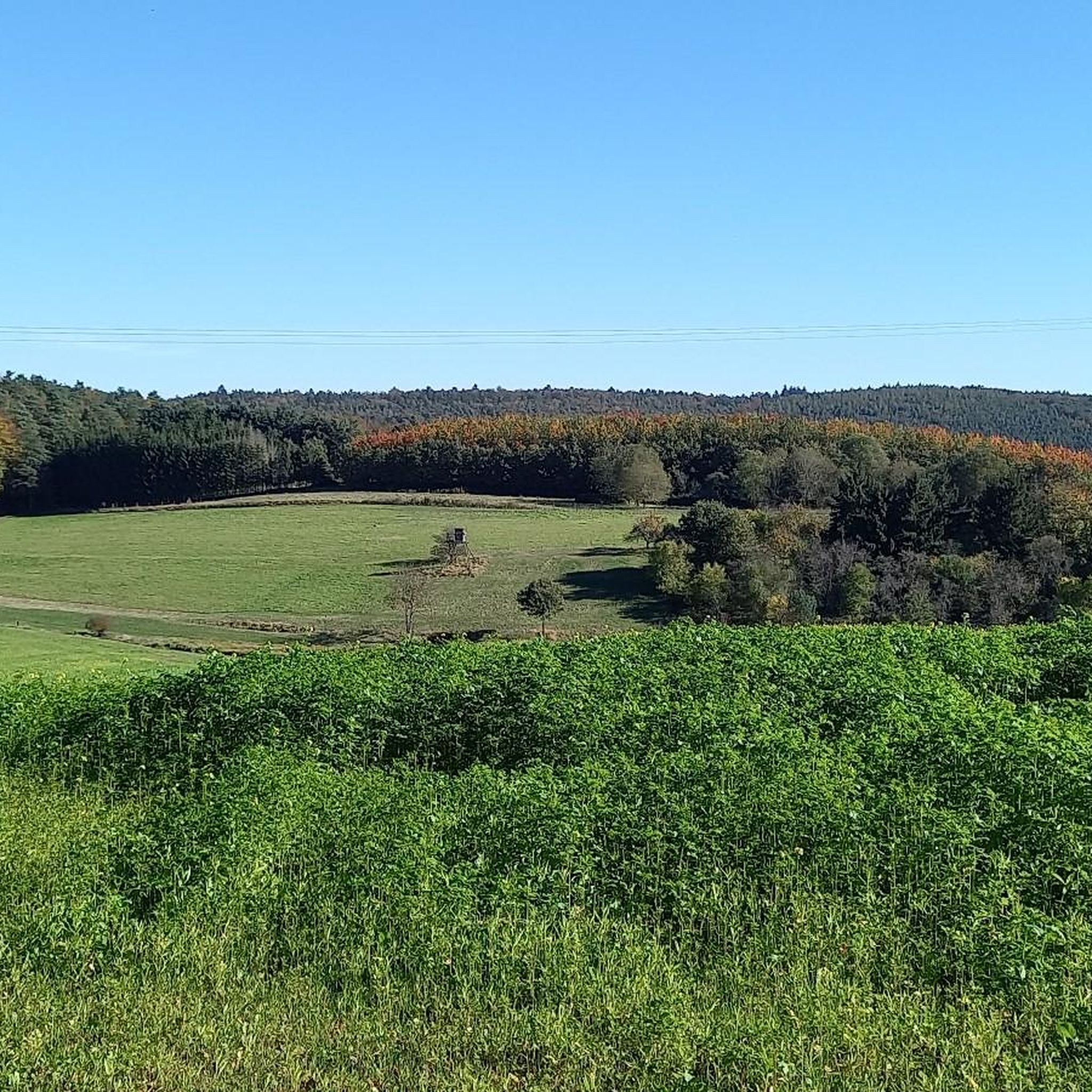
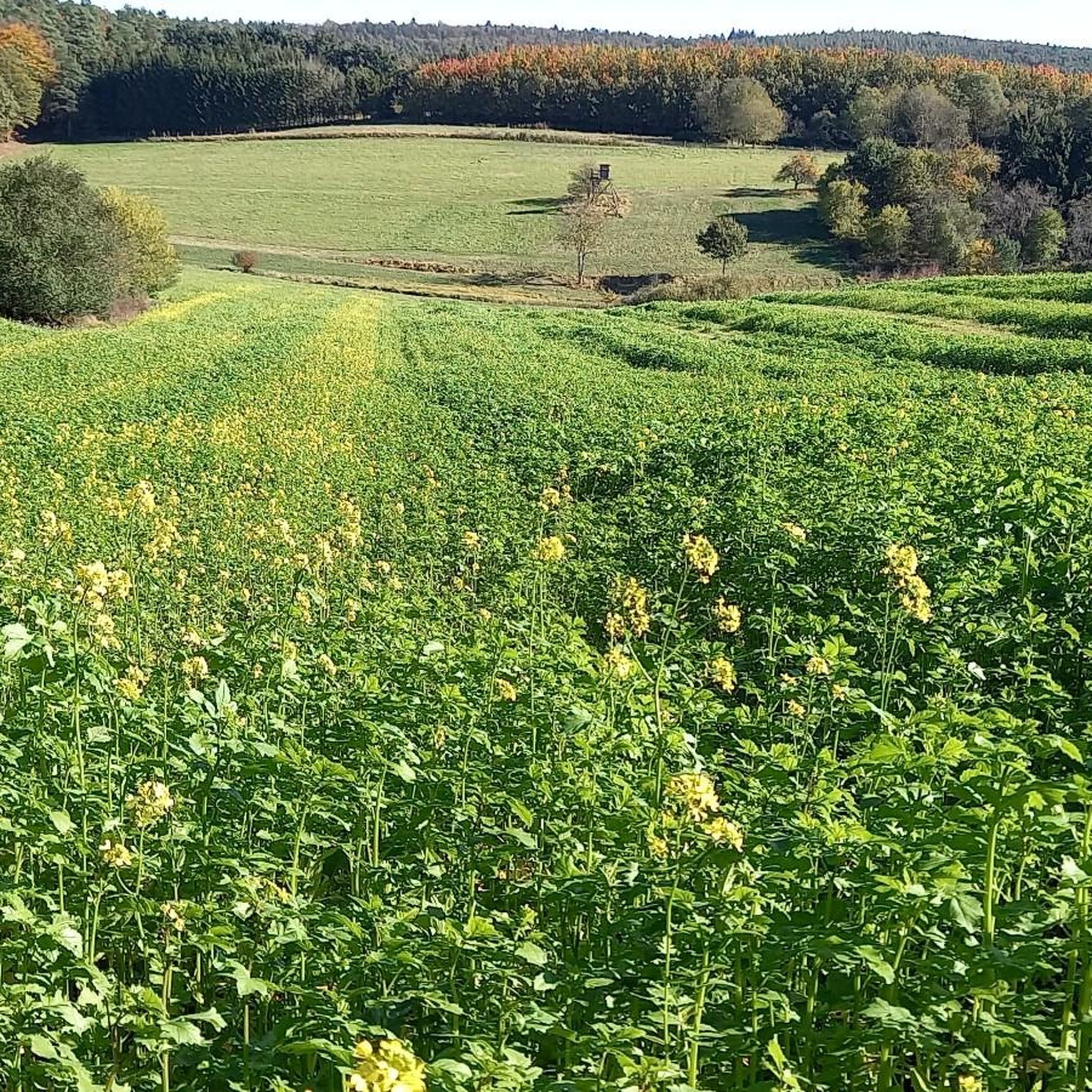
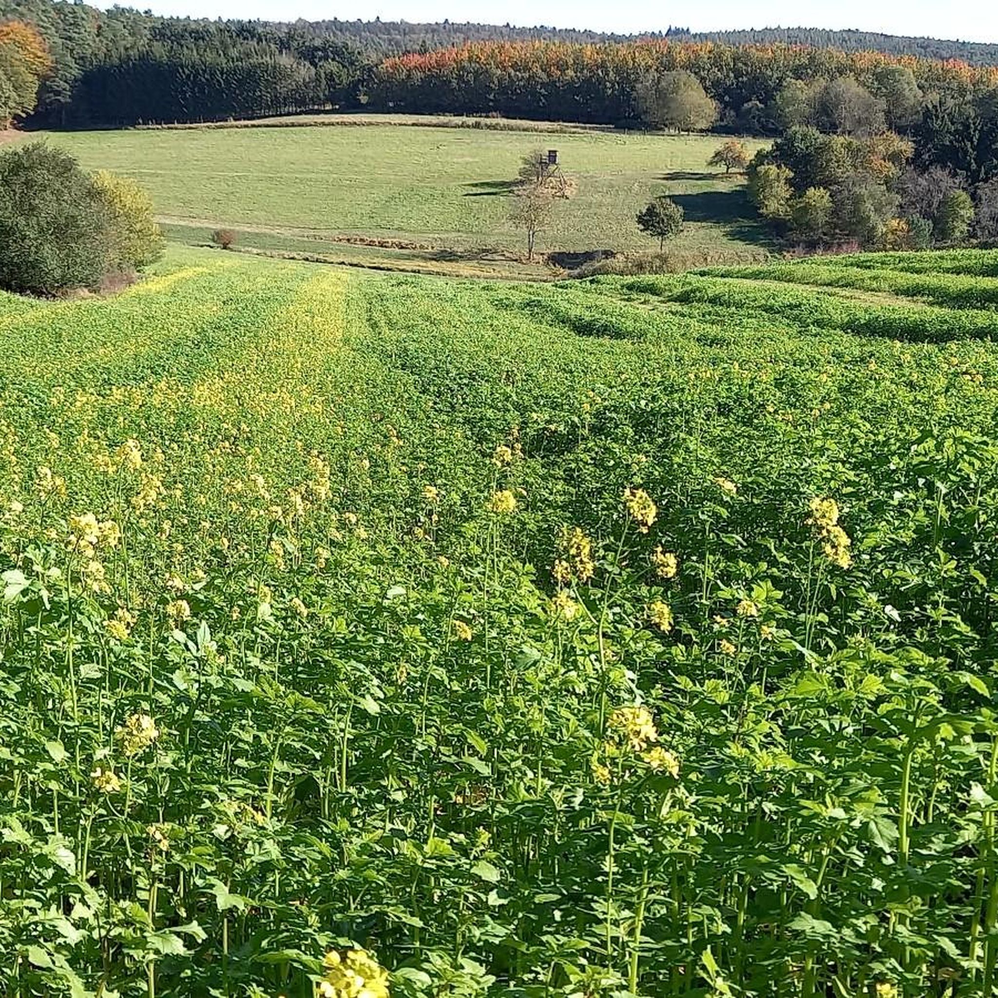
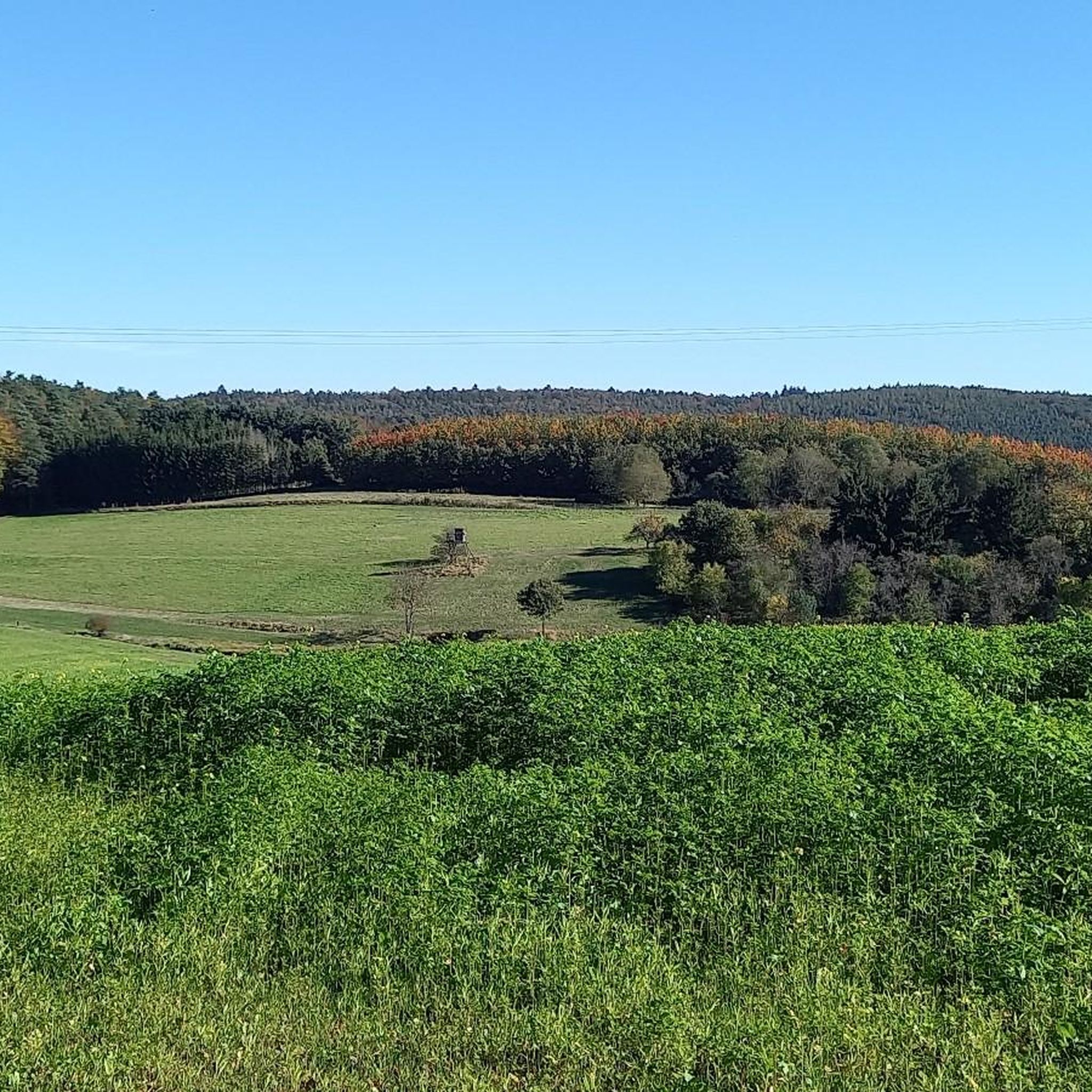
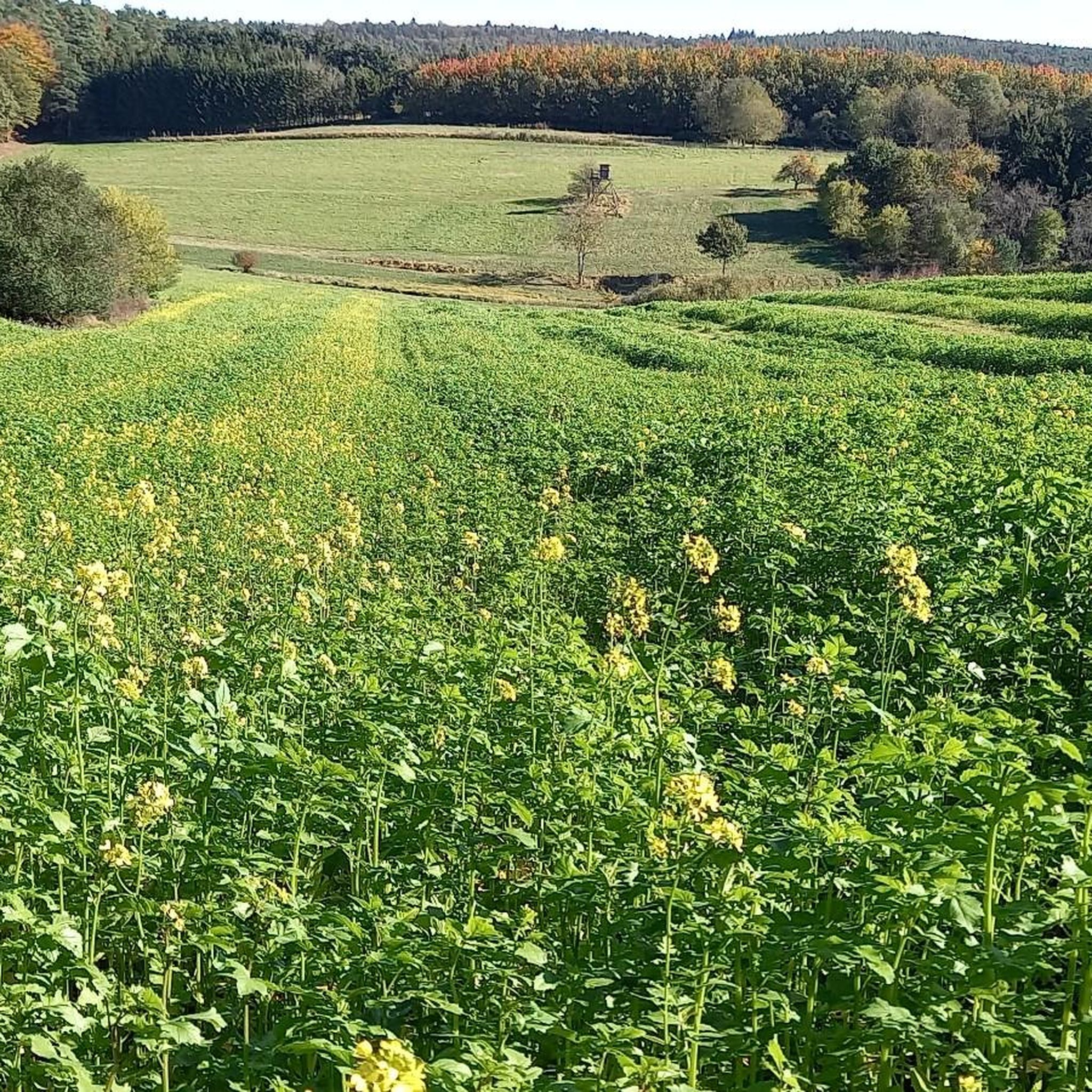
You feel like you're in Allgäu
0
0

The "Am Klauserkopf" cycle tour leads through the idyllic landscape of the Palatinate Forest, combining nature experiences with cultural aspects. Tour description: The route starts in Münchweiler an der Alsenz and leads over the Klauserkopf (384 m) to Stauf. Along the way, there are numerous viewpoints offering views of the surrounding hills and valleys of the Palatinate Forest. The route can vary between 8 and 12 kilometers depending on the chosen route.
0
0

The municipality of Schweisweiler, with around 383 inhabitants, is located in the narrow valley of the river Alsenz, surrounded by steep mountains. Up here, you can enjoy a wonderful view!
1
0

"The border between the Freinsheim collective municipality [south; you can see that from the 2 benches] and Grünstadt-Land [north] runs above the Kieskautberg." Source (quoted verbatim): https://www.tourenplaner-rheinland-pfalz.de/de/tour/wanderung/leininger-klosterweg-premiumwanderweg-mit-audio-und-video-stationen/12182719/
2
0

Unfortunately, the view is severely impaired by the foliage of the trees. Maybe the view is better in winter and spring.
1
0

In summer unfortunately no view from "above", but nice to walk. Boundary stones from 1838 and 1826 can also be found on this section.
1
0

Nice view home 🌳✅
0
0
Frequently Asked Questions
What are some notable elevated points or 'peaks' to visit around Neuhemsbach?
While Neuhemsbach is known for its rolling hills rather than towering mountains, there are several appealing elevated points to explore. These include the Highest Point of Schweisweiler, which offers a rewarding view, and Kieskautberg (461 m), a natural monument with views from two benches. Another interesting spot is Mount Albert Stone Cairn, a natural monument offering wonderful forest air and views.
Which elevated points around Neuhemsbach offer the best views?
For scenic vistas, consider visiting the Highest Point of Schweisweiler, which is praised for its wonderful views. Kieskautberg (461 m) also provides good views, especially from its two benches. Additionally, Klauserkopf is a summit and viewpoint within the Palatinate Forest, offering views of the surrounding hills and valleys.
Are there popular hiking trails associated with these elevated points?
Yes, many of the elevated points are integrated into popular hiking routes. For example, a beautiful section of the Leininger Klosterweg runs over Kieskautberg (461 m). The region generally offers diverse hiking trails through its charming hilly terrain. You can find more detailed routes in the Hiking around Neuhemsbach guide, which includes trails like the Billes Pond loop and the Spitzhübel Burial Mound loop.
What kind of natural features can I expect to see on these elevated points?
The elevated points around Neuhemsbach are characterized by lush forests and rolling hills. You'll often find serene natural settings like the picturesque Billesweiher and Schnepfenweiher ponds integrated into hiking routes. Many spots, such as Mount Albert Stone Cairn, offer wonderful forest air and views over rapeseed fields during certain seasons.
Are there any historical sites on or near the elevated points around Neuhemsbach?
Yes, the region blends natural beauty with historical interest. The 'Spitzer Hübel,' an elevated point, houses the remains of the Anselburg castle, dating back to the 14th century. The Stumpfwald area, which can be explored via an easy forest hike from Billesweiher, also features interesting historical sites like the Stumpfwaldgericht and Franzosenwasen. Mount Albert Stone Cairn is also designated as a natural and man-made monument.
What outdoor activities can I do near the elevated points of Neuhemsbach?
Beyond hiking, the area around Neuhemsbach offers various outdoor activities. You can explore numerous cycling routes, such as those detailed in the Cycling around Neuhemsbach guide, which includes the Appelbach Cycle Path. For mountain biking enthusiasts, there are dedicated trails like those found in the MTB Trails around Neuhemsbach guide.
Are the trails to these elevated points suitable for families or beginners?
Many trails around Neuhemsbach are suitable for various fitness levels, including families and beginners. For instance, the 'Rundwanderweg 3 Billesweiher' is a popular walking route that is approximately 4.4 km long and generally easy. The Hiking around Neuhemsbach guide lists several easy and moderate routes, such as the Billes Pond loop and the Wurzelbuche – View of Donnersberg loop.
What is the highest point in the broader region near Neuhemsbach?
While Neuhemsbach itself has a maximum elevation of 377 meters, the highest mountain in the broader Palatinate region is the Donnersberg, standing at 687 meters. It's a highly recommended point of interest for those willing to venture a bit further, offering expansive views and further hiking possibilities, including attractions like the Adlerbogen Viewpoint.
What do visitors enjoy most about the elevated points and trails around Neuhemsbach?
Visitors frequently appreciate the serene natural settings, the diverse hiking routes, and the rewarding views. Many enjoy the 'wonderful view' from spots like the Highest Point of Schweisweiler and the 'beautiful section' of the Leininger Klosterweg on Kieskautberg (461 m). The 'wonderful forest air' at locations like Mount Albert Stone Cairn is also a highlight.
Are there any specific cycle tours that include these elevated points?
Yes, for cyclists, the 'Am Klauserkopf' cycle tour leads through the idyllic landscape of the Palatinate Forest, passing by Klauserkopf. This tour combines nature experiences with cultural aspects and offers numerous viewpoints. More cycling routes are available in the Cycling around Neuhemsbach guide.
What is the terrain like on the trails to these elevated points?
The terrain around Neuhemsbach's elevated points is generally characterized by charming hilly landscapes and diverse hiking trails. You'll find paths winding through forests, meadows, and sometimes along picturesque ponds. While not alpine, some routes can be moderately challenging, offering a good mix for various hiking preferences.
Most popular routes around Neuhemsbach
Most popular attractions around Neuhemsbach

Get inspired with the komoot mobile app


Explore more
See even more amazing summits around Neuhemsbach with these guides:
