The 5 Most Amazing Peaks around Budenbach
Best mountain peaks around Budenbach are characterized by woodlands, water features, and historical sites within the hilly and forested Hunsrück region. While not featuring alpine peaks, the area offers elevated natural features and extensive hiking opportunities. The landscape includes diverse terrain with paths through birch avenues and near historical sites. This region provides varied outdoor exploration for visitors.
Best mountain peaks around Budenbach
- The most popular mountain peaks is Hochsteinchen lookout tower, a viewpoint that has featured a steel…
Last updated: October 13, 2026
Summit Cross Aufm Nack
Highlight • Summit
The rock was freed from overgrown vegetation in 2018/19 so that it …
Translated by Google •
Tip by

Hohenstein
Highlight • Natural Monument
Translated by Google •
Tip by
Sign up now to discover places like this
Get recommendations on the best single tracks, peaks, & plenty of other exciting outdoor places.
Schanzerkopf
Highlight • Summit
Translated by Google •
Tip by

Goßberg, former bunker
Highlight • Monument
Translated by Google •
Tip by
Hochsteinchen lookout tower
Highlight • Viewpoint
Translated by Google •
Tip by

Start today with a free account
Your next adventure awaits.
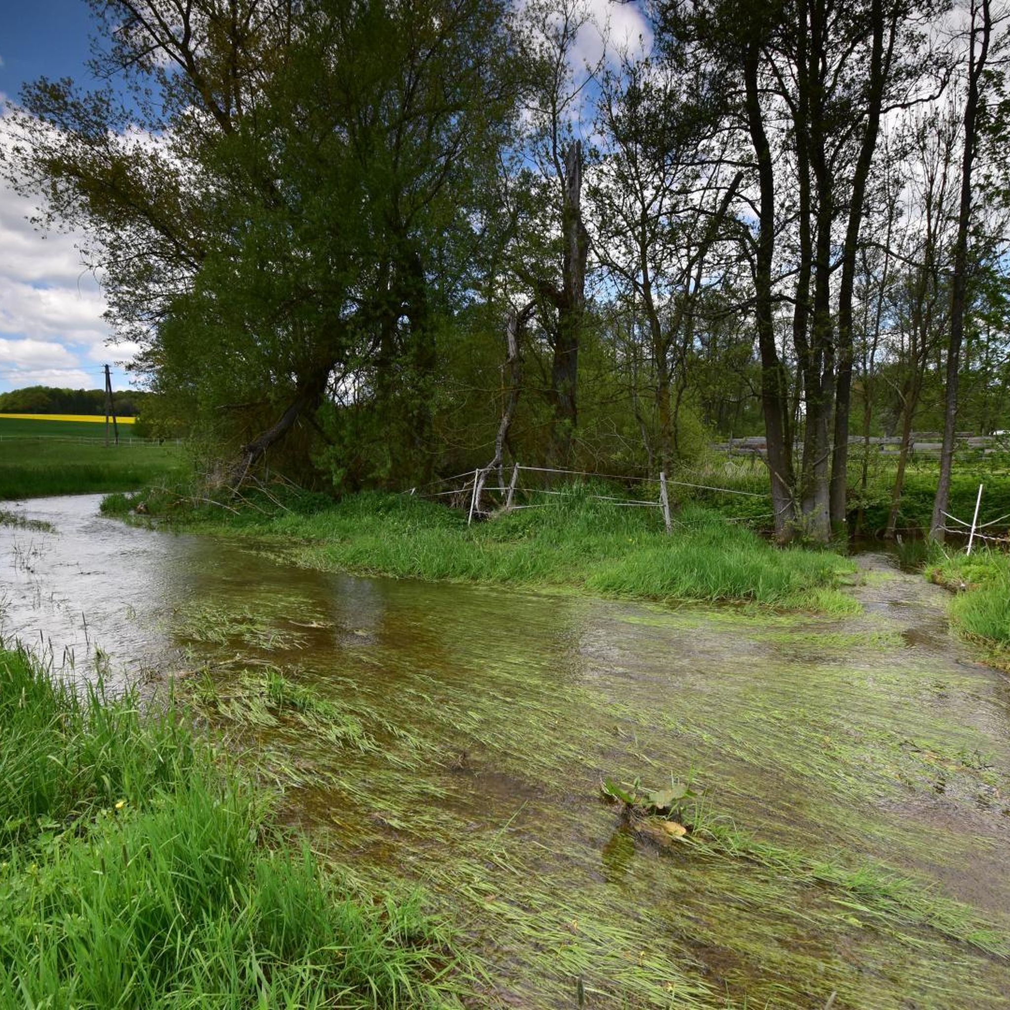
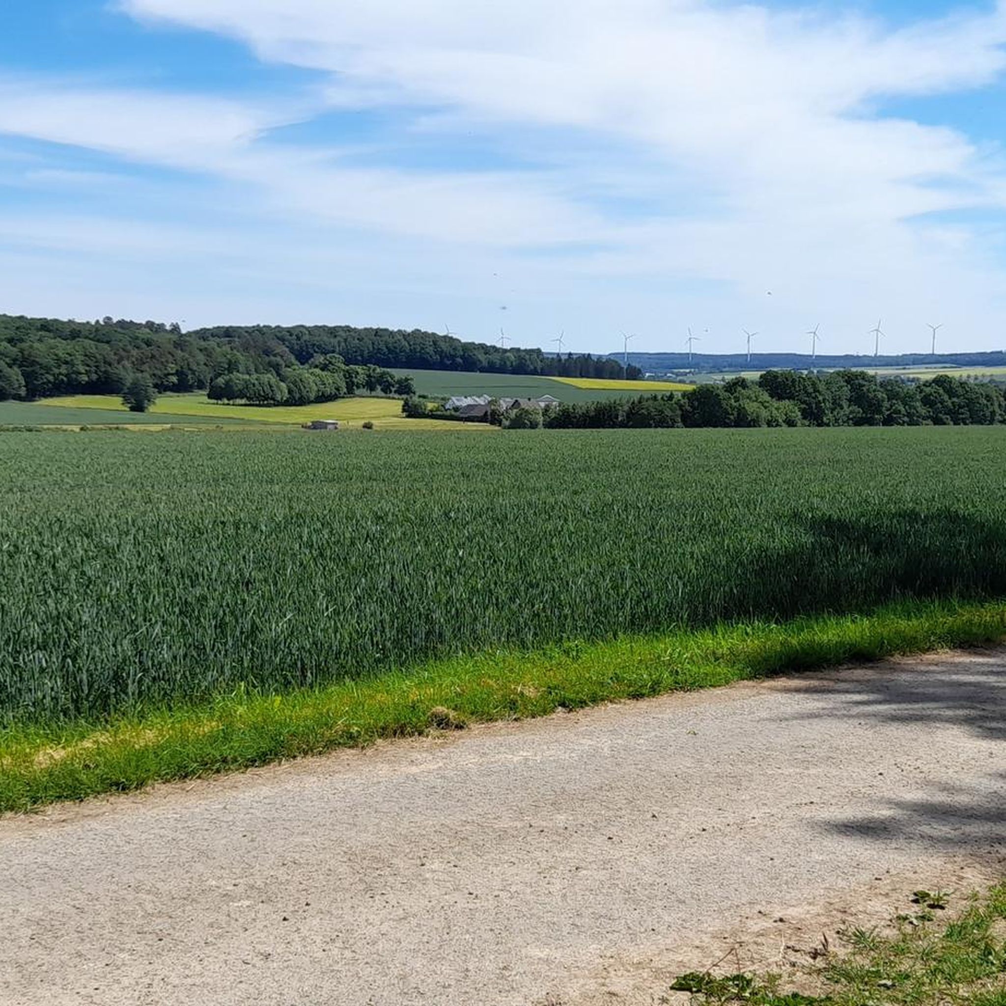
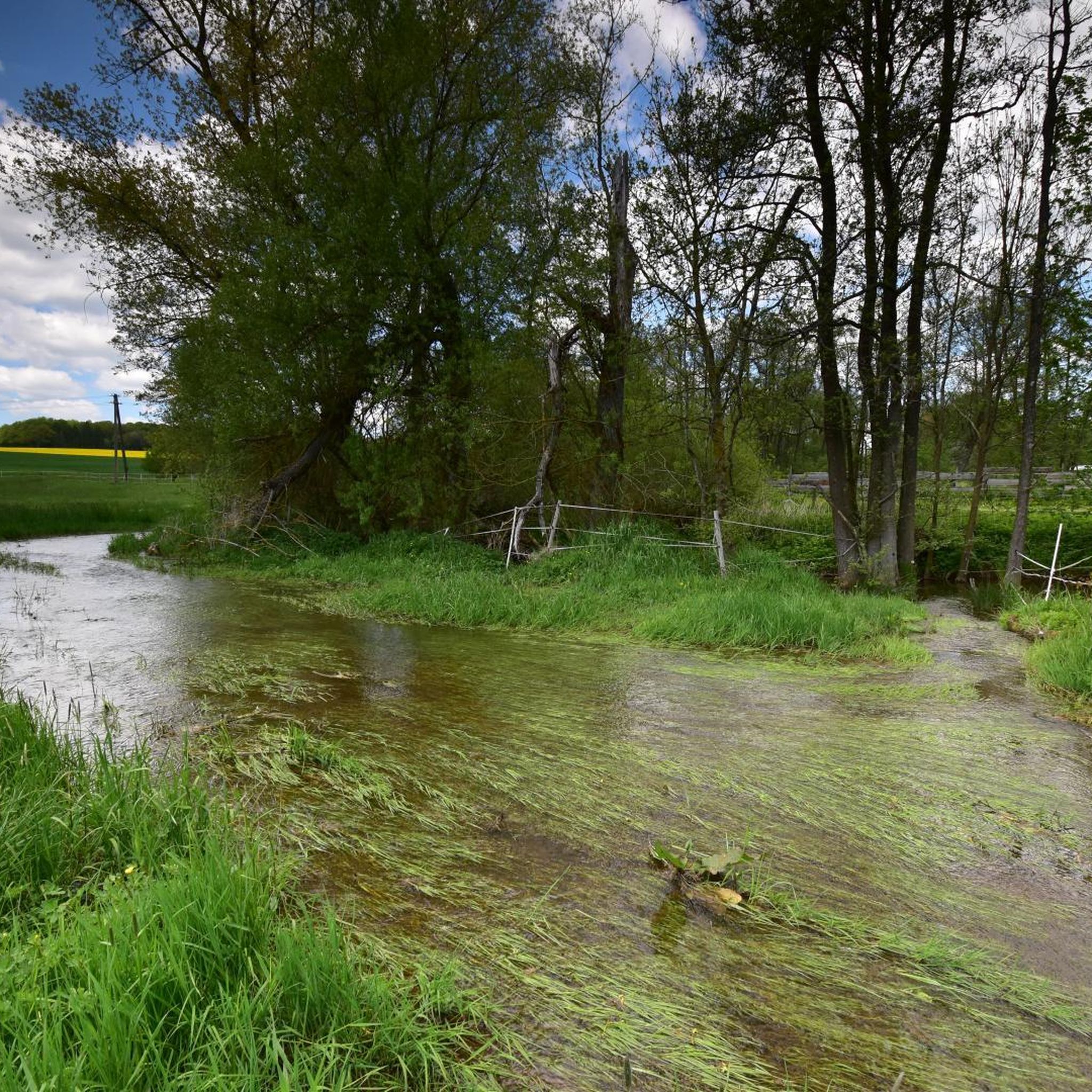
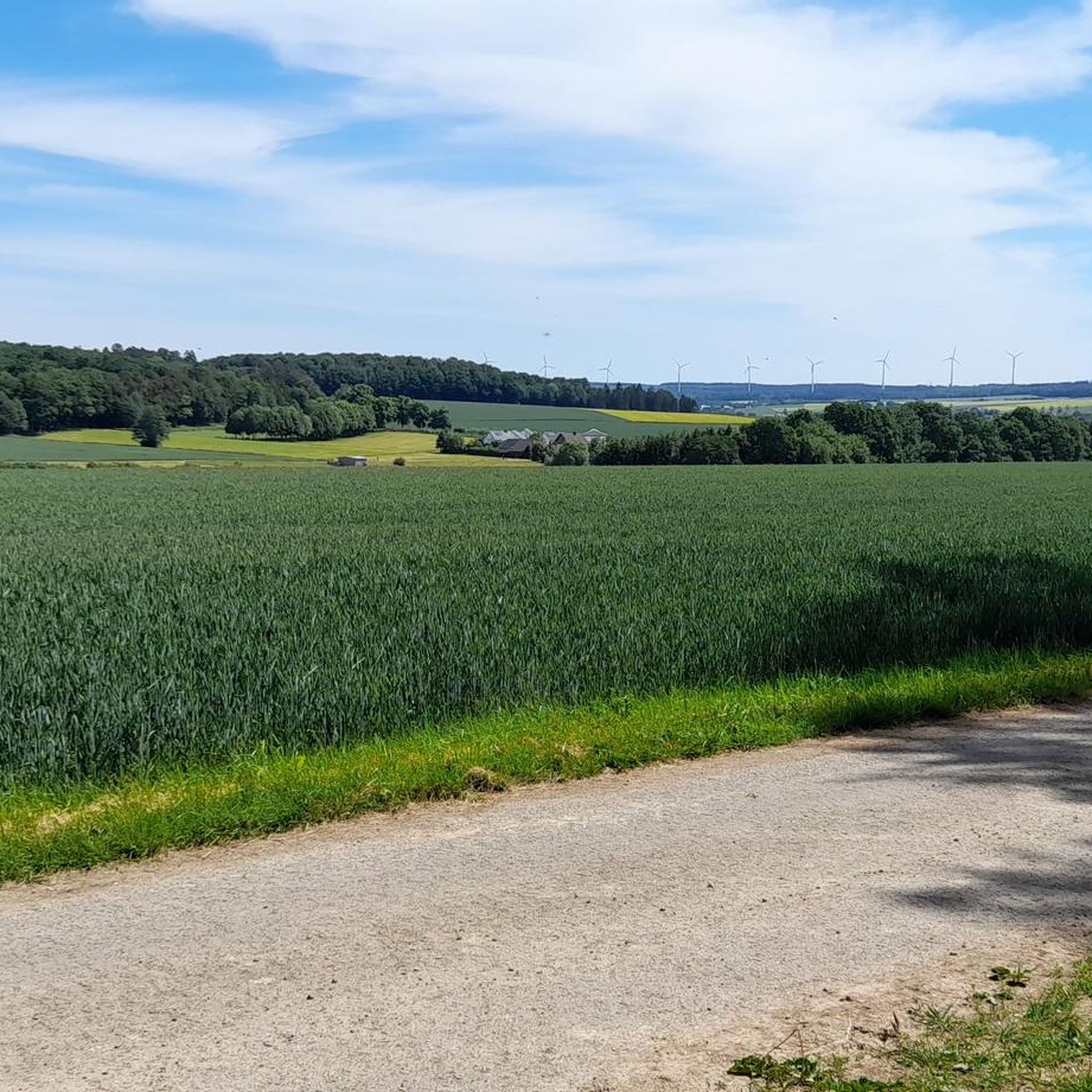
Tips from the Community


Little view, but a wonderfully relaxing spot for a break on the benches.
0
0

It's only 600 meters but it can be cold in winter 🥶
0
0
Frequently Asked Questions
What are the most notable elevated features and viewpoints around Budenbach?
While Budenbach doesn't have alpine peaks, the region offers several elevated features and viewpoints. The Hochsteinchen lookout tower provides extensive views over the Hunsrück, the Middle Rhine Valley, and even into the Taunus. Another significant spot is the Summit Cross Aufm Nack, marked by a wooden cross on a quartzite rock, offering views of Wiebelsheim.
Are there any historical sites or man-made monuments on the elevated features near Budenbach?
Yes, the area combines natural elevation with history. The Goßberg, former bunker, a man-made monument at 483 meters, was once a US radar base with a deep nuclear bunker. Additionally, the Mountain Spur near Bundenbach is home to the Altburg, a Late Iron Age Celtic fortification, now a protohistoric open-air museum.
What kind of hiking trails can I find near Budenbach's elevated areas?
The region around Budenbach offers diverse hiking trails through hilly and forested terrain. You can find paths winding past ponds, through birch avenues, and near historical sites. Trails vary in difficulty from easy strolls to moderate excursions, with some longer hikes featuring elevation gains up to 3,000 feet. Explore options in the Hiking around Budenbach guide.
Are there family-friendly hiking options around Budenbach's elevated features?
Yes, the area provides various trails suitable for families. Shorter, easier routes like the "Birch Avenue – Klosterkumbd Fish Ponds loop" are great for a leisurely outing. Many trails offer picturesque scenery without extreme difficulty, making them enjoyable for different age groups.
Can I bring my dog on the hiking trails near Budenbach?
Generally, the hiking trails in the Hunsrück region around Budenbach are dog-friendly. It's always recommended to keep dogs on a leash, especially in nature reserves or near wildlife, and to respect local regulations. Ensure you carry water for your pet, particularly on longer routes.
What are some scenic routes that feature water elements near Budenbach?
Many popular hiking trails highlight the area's natural beauty, incorporating water features. The "Water Lily Pond – Former Klingelfloß shelter loop from Klosterkumbd" is a moderate 9.5-mile path known for its scenic water lily ponds. Another favorite is the "Birch Avenue – Klosterkumbd Fish Ponds loop," which leads past picturesque fish ponds.
What other outdoor activities are available near Budenbach's elevated areas besides hiking?
Beyond hiking, you can explore the region through running and gravel biking. There are dedicated Running Trails around Budenbach and routes for Gravel biking around Budenbach, offering different ways to experience the diverse terrain.
What is the best time of year to visit Budenbach for outdoor activities?
The Hunsrück region is generally pleasant for outdoor activities from spring through autumn. Spring brings blooming nature, while autumn offers vibrant foliage. Summer is ideal for longer days on the trails. Winter hiking is possible, but conditions can vary, so check local forecasts.
What kind of terrain and elevation can I expect on the hiking trails near Budenbach?
The terrain around Budenbach is primarily hilly and forested, part of the Hunsrück region. Trails range from easy, relatively flat paths to moderate excursions with noticeable elevation gains. While not alpine, some longer hikes can accumulate up to 3,000 feet of elevation, providing a good workout and varied landscapes.
Where can I find parking facilities for hiking in Budenbach?
Parking facilities are generally available near popular trailheads and points of interest in and around Budenbach. Specific parking information can often be found on local tourism websites or detailed route descriptions for individual trails.
Are there any specific tips for visiting the Hochsteinchen lookout tower?
The Hochsteinchen lookout tower features a steel observation tower. An iron spiral staircase leads to the top, with steel plates rather than gratings on the steps and platforms, which can reduce the feeling of dizziness for some. The views are best when the surrounding spruce trees are lower than the tower.
What makes the Summit Cross Aufm Nack unique?
The Summit Cross Aufm Nack is distinctive for its wooden cross rising above a large quartzite rock near Wiebelsheim. This rock was cleared of vegetation in 2018/19, making it more visible. It's a site for annual Martinsfeuer (St. Martin's bonfires) and offers a nice view of Wiebelsheim.
Most popular routes around Budenbach
Most popular attractions around Budenbach

Get inspired with the komoot mobile app


Explore more
See even more amazing summits around Budenbach with these guides:
