Top 7 Gorges around Oberreidenbach
Canyons around Oberreidenbach are characterized by picturesque landscapes within the Saar-Hunsrück Nature Park. The region features impressive rock formations and gorges, providing dramatic scenery for outdoor activities. These natural features are popular for hiking and exploration, offering a variety of routes through dense forests and along significant geological formations. Visitors can discover numerous marked hiking trails that lead through these unique areas.
Best canyons around Oberreidenbach
- The most popular canyons is Trübenbach Waterfall, a waterfall that flows through a…
Last updated: July 10, 2026
Trübenbach Waterfall
Highlight • Waterfall
Translated by Google •
Tip by

Teufelsgraben
Highlight • Gorge
Because of missing people, animals and recurring epidemics and bad harvests, which were ascribed to the devil, he was banished to …
Translated by Google •
Tip by

Sign up now to discover places like this
Get recommendations on the best single tracks, peaks, & plenty of other exciting outdoor places.
Sign up for free
Old Reelser Quarry
Highlight • Structure
Translated by Google •
Tip by

Ringelbach Valley
Highlight • Gorge
Translated by Google •
Tip by
Süßbach Gorge
Highlight • Gorge
Translated by Google •
Tip by

Sign up for free to discover even more gorges around Oberreidenbach.
Sign up for free
Already have an account?
Start today with a free account
Your next adventure awaits.
Login or Signup
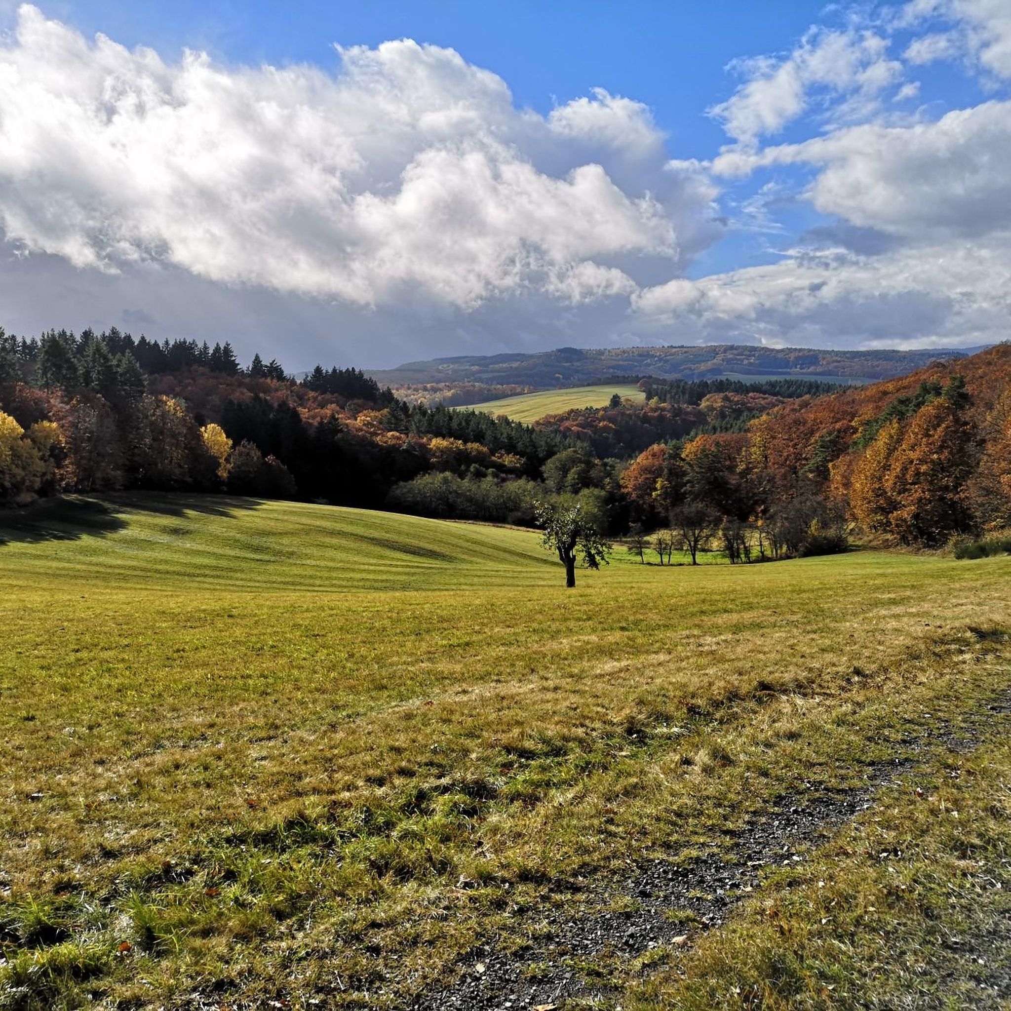
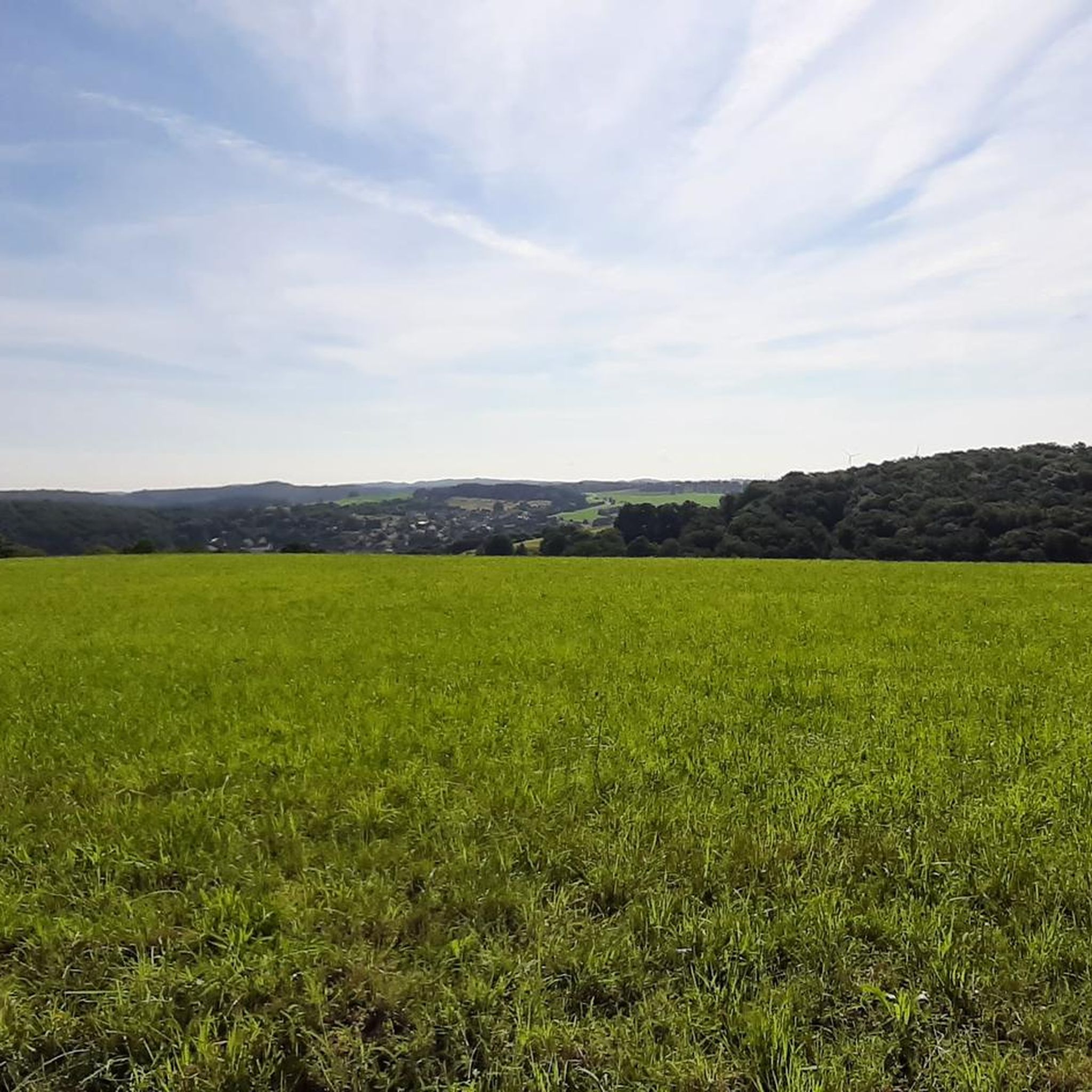
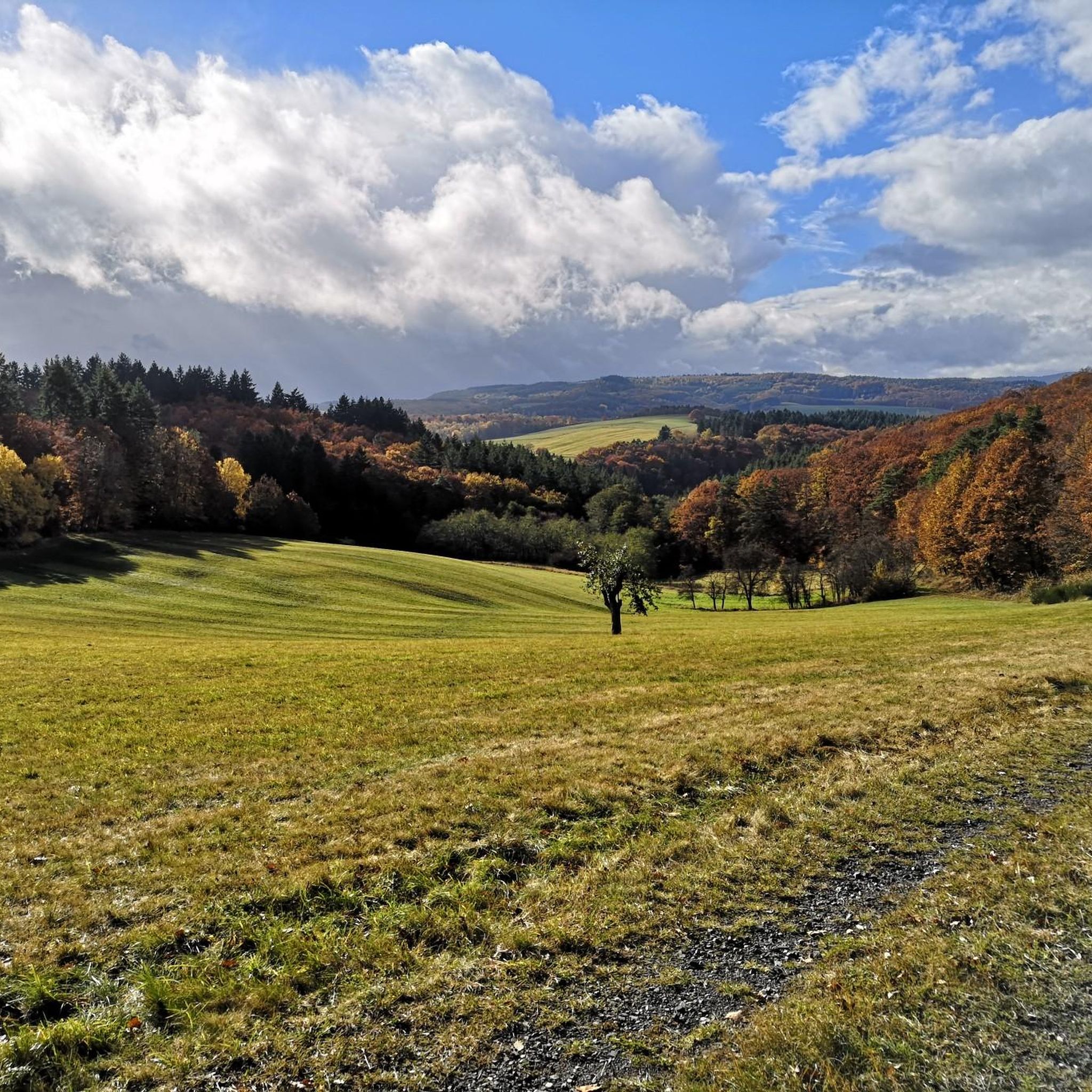
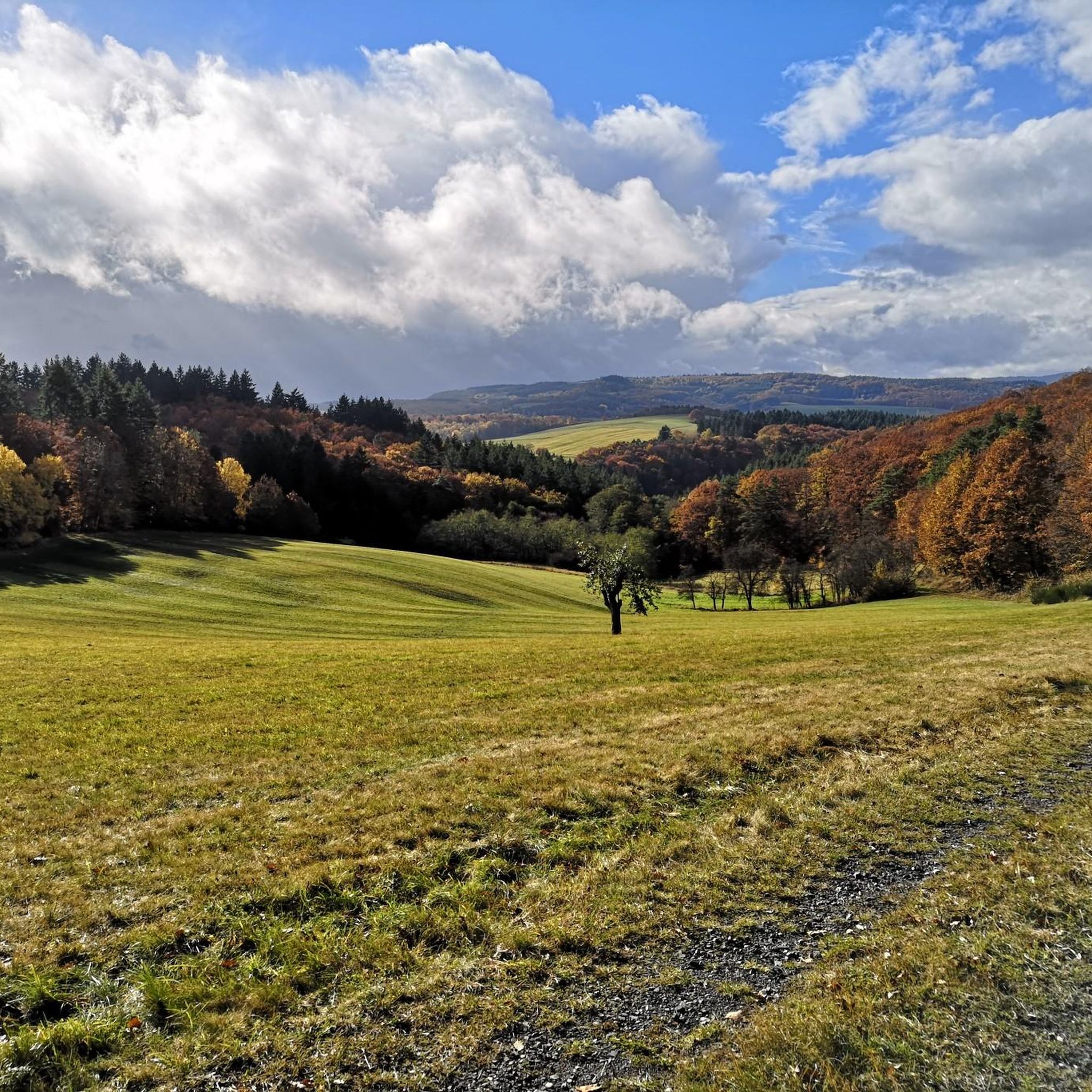

Tips from the Community


Very nice place on the Countess Loretta Dream Loop
0
0

A very nice little waterfall, a little off the path.
1
0

A short detour leads to the waterfall
1
0

Really nice little waterfall, something for young and old.
3
0

One of the most beautiful places on the tour
0
0

The waterfall in Trübenbachtal is definitely worth a detour!
1
0
Simply beautiful the Süssbachklamm!
1
0
Frequently Asked Questions
What kind of natural features can I expect to see in the Oberreidenbach region?
The Oberreidenbach region, situated within the Saar-Hunsrück Nature Park, is characterized by picturesque landscapes featuring impressive rock formations and gorges. While not always explicitly called 'canyons,' these dramatic geological formations offer similar scenic beauty. You can explore features like the Trübenbach Waterfall, a wild and romantic valley with well-developed paths, and the significant Teufelsgraben gorge, which forms a natural border between communities.
Are there family-friendly trails or features among the gorges in Oberreidenbach?
Yes, some areas are suitable for families. For instance, the Trübenbach Waterfall is noted as family-friendly, offering well-developed paths and benches by the stream, making it a perfect resting place. The region generally provides a variety of routes, some of which are less strenuous.
What are the difficulty levels of hiking trails through the gorges and rock formations?
The hiking trails in the Oberreidenbach area, including those through gorges and rock formations, range from intermediate to challenging. For example, the Old Reelser Quarry is considered challenging to reach, while the Ringelbach Valley and Süßbach Gorge trails are typically intermediate. For more challenging options, the Dietersfels Rock Formation area, though not a highlight in this guide, is part of a longer 18.2 km loop with a 490-meter elevation gain, requiring very good fitness.
What is the best time of year to visit the gorges and rock formations in Oberreidenbach?
The region offers beauty throughout the year, but seasonal considerations are important. Autumn can be beautiful, though paths might be slippery. Summer days are great for cooling off by water features like the Trübenbach Waterfall. In winter, parking areas, such as near the Dietersfels Rock Formation, can become muddy. Spring and early summer generally offer pleasant hiking conditions.
Are there any historical or legendary sites associated with the natural features?
Yes, the region has local lore tied to its natural landmarks. The Teufelsgraben (Devil's Gorge) is steeped in local legend, where it was believed that throwing a pebble into the ditch could banish sins. The Dietersfels Rock Formation also has a local legend about a knight who rode his horse down the cliff and survived.
What outdoor activities can I do near the gorges and rock formations in Oberreidenbach?
Beyond exploring the gorges, the green hills and valleys around Oberreidenbach are ideal for various outdoor activities. You can find numerous hiking routes, including options like the 'Dietersfels Rock Formation – Kelter Viewpoint and Rest Area loop from Mittelreidenbach' for a challenging hike. For cycling enthusiasts, there are extensive MTB Trails and Gravel Biking routes, such as the 'Jammereiche – View of Idarkopf loop from Kirn'.
Are there specific hiking trails that lead through these canyon-like areas?
Yes, the region offers many marked hiking trails that integrate these unique geological features. You can explore trails that pass through dense forests and alongside impressive rock formations. For example, the Ringelbach Valley is followed by the Saar-Hunsrück Climb and the Hildegard-von-Bingen pilgrimage route in its upper part. You can find more hiking options in the Hiking around Oberreidenbach guide.
What do visitors enjoy most about the gorges and natural monuments in Oberreidenbach?
Visitors frequently appreciate the wild and romantic atmosphere of the valleys and the dramatic natural beauty of the rock formations. The Trübenbach Waterfall is often highlighted as a 'real insider tip' for its natural idyll and as a great spot to cool off. The Süßbach Gorge is praised for its beautiful and scenic experience, often compared to a classic gorge tour.
Are there any viewpoints or scenic overlooks in the gorge areas?
Many of the gorges and rock formations in the region offer scenic viewpoints. Highlights like the Teufelsgraben and Süßbach Gorge are categorized as having viewpoints. The Dietersfels Rock Formation, mentioned in regional research, also provides impressive vistas.
What are the parking facilities like for accessing these natural sites?
Parking facilities vary by location. While some areas might have designated parking, it's worth noting that conditions can change seasonally. For instance, parking near the Dietersfels Rock Formation can be muddy in winter. It's advisable to check specific access points for each trail or highlight for the most current parking information.
Can I find any lesser-known or hidden gorges to explore?
The region is rich with natural features, and many hiking routes lead through less-traveled areas. While the guide highlights popular spots, exploring the extensive network of marked trails, such as those in the Hiking around Oberreidenbach guide, can lead you to discover quieter, wilder sections of gorges and valleys like the deeply cut Ringelbach Valley.
Are there any circular hiking routes that include these gorges?
Yes, many hiking routes in the Oberreidenbach area are designed as loops, allowing for circular walks that often incorporate the region's natural features. For example, the 'Eselbrücke Kohlenhütte – Junkerwaldblick Viewpoint loop from Sienhachenbach' is a moderate 11 km hike. You can find more circular options in the Hiking around Oberreidenbach guide.
Most popular attractions around Oberreidenbach

Get inspired with the komoot mobile app


Explore more
Already discovered everything in this region? See additional gorges around Oberreidenbach for your next adventure:
