The 4 Most Amazing Peaks around Mertesheim
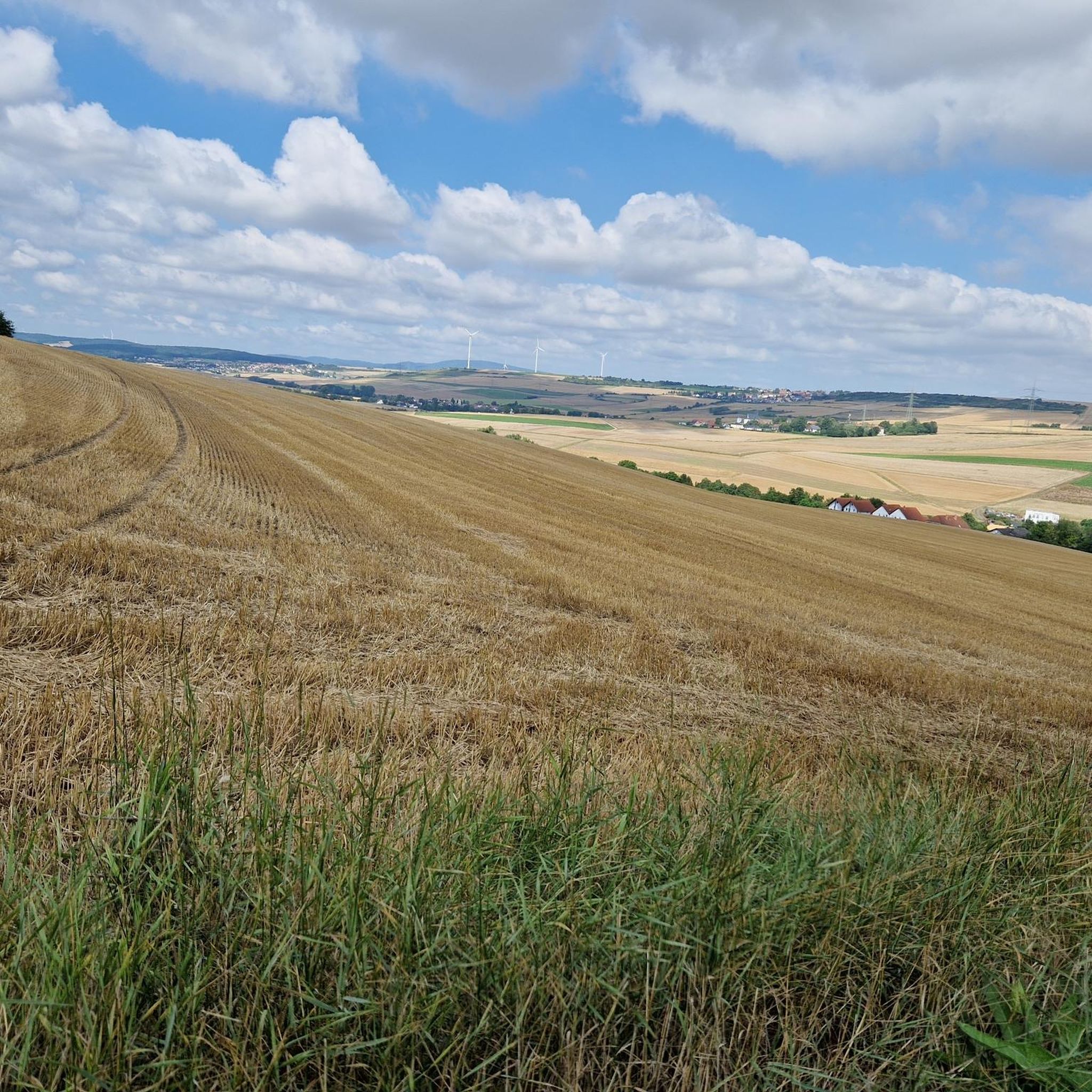
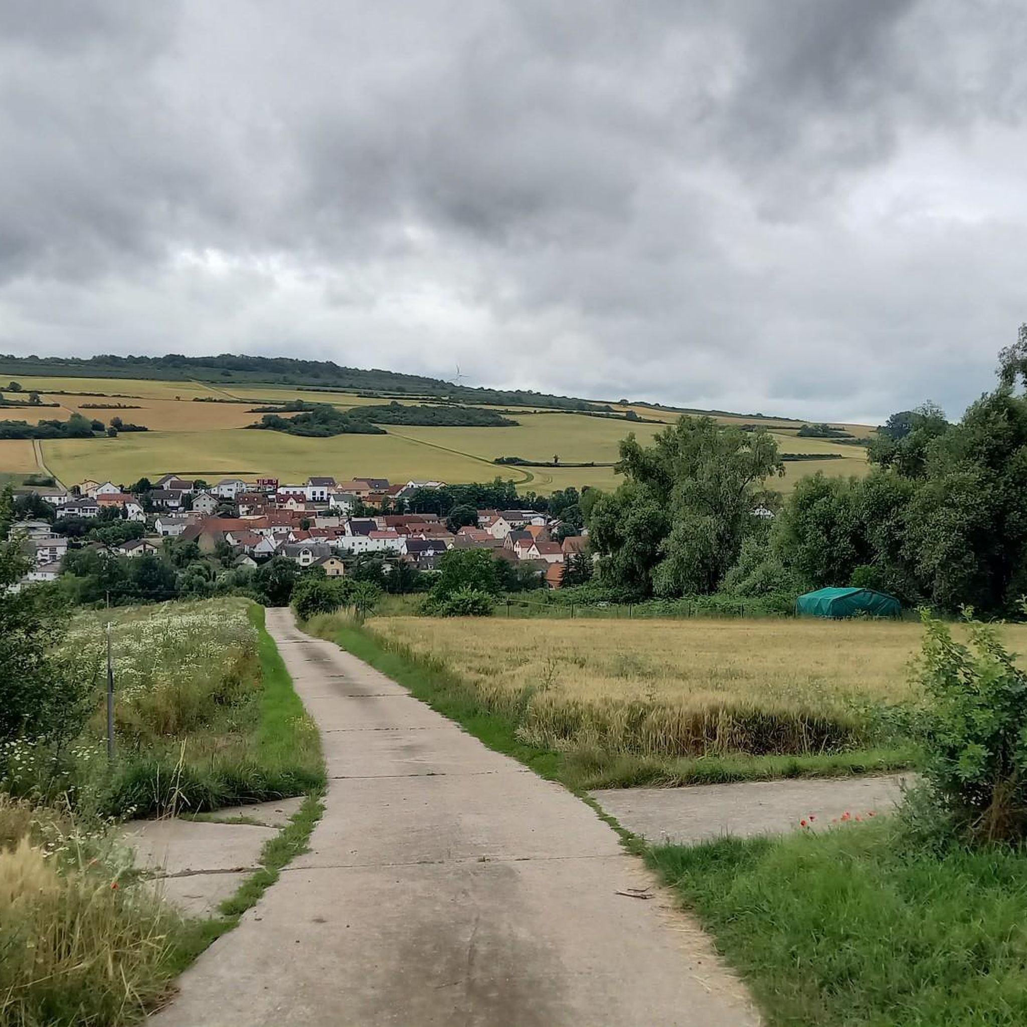
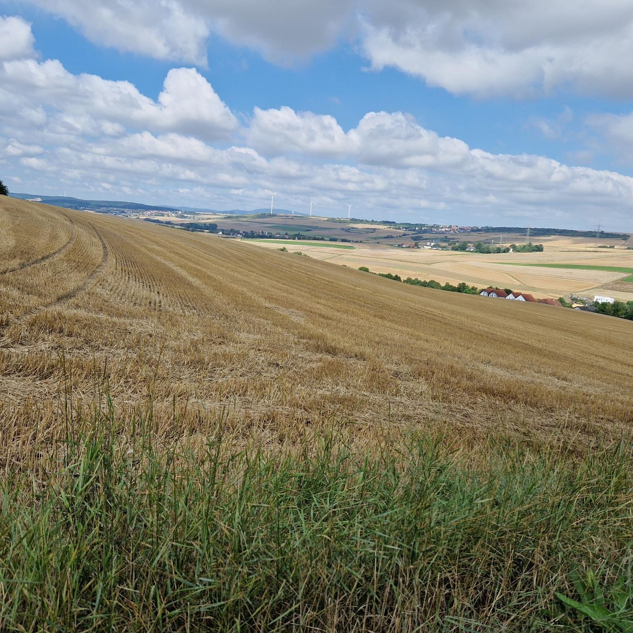
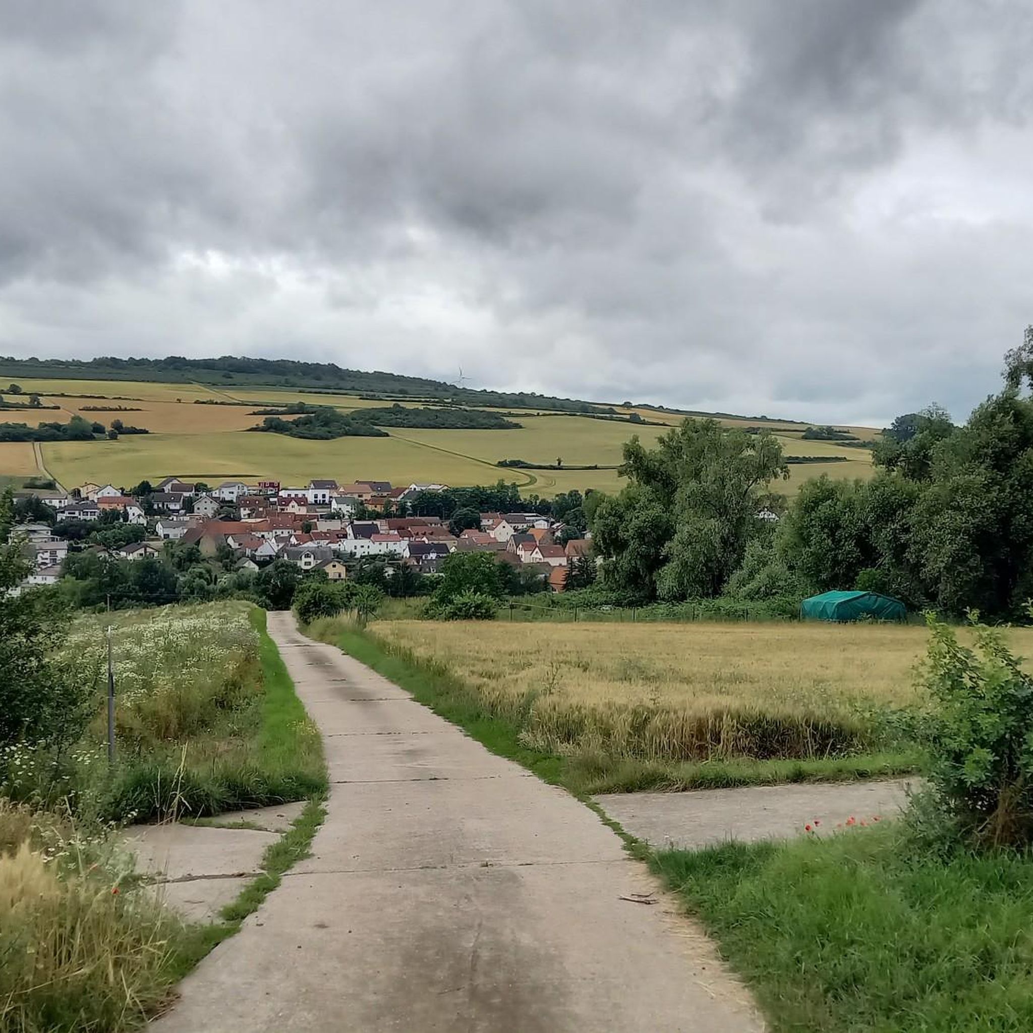
Best mountain peaks around Mertesheim are found within a hilly landscape in the Bad Dürkheim district of Rhineland-Palatinate, Germany. The region, situated along the Eisbach stream, features an elevation of approximately 201 meters above sea level. While not characterized by traditional high mountain peaks, the surrounding "Hügelland an der Deutschen Weinstraße" offers elevated areas. These locations provide scenic views and opportunities for outdoor activities in the Palatinate Forest.
Best mountain peaks around Mertesheim
- The most popular mountain peaks is Krummholzer…
Last updated: June 27, 2026
Kamelkopf Rock Formation
Highlight • Natural Monument
Translated by Google •
Tip by

Krummholzer Stuhl (Roman quarry)
Highlight • Historical Site
Source (quoted verbatim): tourenplaner-rheinland-pfalz.de/de/punkt/felsen/krummholzer-stuhl/13353106/#caml=a14,1cgehp,86n3qd,0,0
Translated by Google •
Tip by

Sign up now to discover places like this
Get recommendations on the best single tracks, peaks, & plenty of other exciting outdoor places.
Sign up for free
Toter Mann — summit cross with skull
Highlight • Summit
Translated by Google •
Tip by

Klauserkopf
Highlight • Summit
Tour description:
Translated by Google •
Tip by

Kühlberg Summit and Memorial Cross
Highlight • Summit
Translated by Google •
Tip by

Start today with a free account
Your next adventure awaits.
Login or Signup
Tips from the Community

Original and fitting for the hill's name
0
0

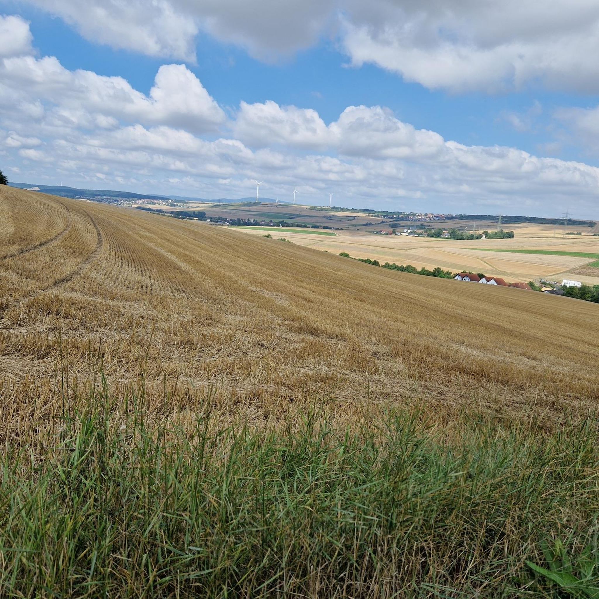
The "Am Klauserkopf" cycle tour leads through the idyllic landscape of the Palatinate Forest, combining nature experiences with cultural aspects. Tour description: The route starts in Münchweiler an der Alsenz and leads over the Klauserkopf (384 m) to Stauf. Along the way, there are numerous viewpoints offering views of the surrounding hills and valleys of the Palatinate Forest. The route can vary between 8 and 12 kilometers depending on the chosen route.
0
0

This impressive rock on the Leininger Burgenweg actually looks a bit like a camel's head.
2
2

Origin of name according to Wikipedia: The mountain was originally called “Spießberg”. It owes its current name to two tragic events. In 1617, “a dead man” was found on the path and the Ganerben forester ordered the body to be buried on the spot. In 1787, below the mountain, in the Langental (Zwingweiler desert), “a dead man was found and is actually still lying on the blaz”. An administration examined the body and determined the cause of death to be a stroke. The dead man was a shepherd named Christoph Vollmar from Carlsberg. Popularly known as this for a long time, Bavarian maps from the period after 1830 definitively identify the mountain as the “Dead Man”.
4
0

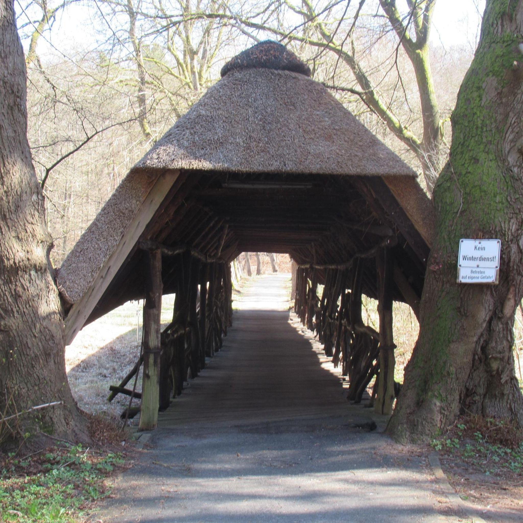
Surprising sight in the Palatinate Forest. Funny staged.
0
0

Beautiful paths here on the cooling mountain. This is 398m high.
2
0

More than 1800 years ago the rock was used by the Romans as a quarry. Stone coffins are said to have been made from its stone, as well as parts of the city wall of the former imperial city of Worms am Rhein. In any case, the Krumholzer Stuhl also served as an important boundary mark for the Ganerben, as evidenced by numerous boundary marks in the stone. Source: https://www.pfalz.de/de/sehenswuerdigkeit/pfaelzerwald-krumholzerstuhl
4
0

Krummholz chair Roman quarry in the 2nd and 3rd centuries. It was exploited for parts of the city wall in Worms and for stone coffins. Hiking tip: Leistadt historical circular hiking trail. Hiking maps available at the Tourist Information Bad Dürkheim.
4
0
Frequently Asked Questions
What kind of 'peaks' can I expect around Mertesheim?
The Mertesheim region is characterized by a hilly landscape rather than prominent mountain peaks. The 'peaks' you'll find are elevated areas and unique rock formations within the Palatinate Forest, offering scenic views and interesting natural features. These include formations like the Kamelkopf Rock Formation and the Krummholzer Stuhl.
Are there any historical sites among the peaks near Mertesheim?
Yes, the Krummholzer Stuhl is notable not just as a rock formation but also as a Roman quarry. It was exploited in the 2nd and 3rd centuries for materials used in the city wall of Worms and for stone coffins, offering a glimpse into the region's ancient history.
What are some unique viewpoints or landmarks to discover?
You can find several unique spots. The Kamelkopf Rock Formation is an impressive rock that resembles a camel's head. For a different kind of landmark, the Toter Mann — summit cross with skull offers a unique and historically rich summit experience. The Weilerskopf Telecommunications Tower also marks a prominent elevated point with views.
Are there family-friendly hiking options around these peaks?
While specific 'family-friendly' categories aren't listed for the peaks themselves, the surrounding Palatinate Forest offers numerous hiking trails suitable for various skill levels. Many paths around the rock formations are described as very nice, and you can find easy hiking routes in the broader Mertesheim area. For more options, explore the Hiking around Mertesheim guide.
What outdoor activities can I do near these elevated areas?
Beyond exploring the peaks, the Mertesheim region offers a variety of outdoor activities. You can find numerous trails for running, cycling, and hiking. For detailed routes, check out the Running Trails around Mertesheim, Cycling around Mertesheim, and Hiking around Mertesheim guides.
What is the best time of year to visit the peaks around Mertesheim?
The 'Hügelland an der Deutschen Weinstraße' (hill country on the German Wine Route) is beautiful throughout the year. Spring and autumn offer pleasant temperatures for hiking and vibrant natural colors. Summer is also suitable, though it can be warmer. Winter hiking is possible, but check local conditions as some paths might be slippery or less accessible.
Where can I find a good spot to rest or take a break during my hike?
At the Bench at the summit of Weilerskopf, you'll find a cozy place to take a rest. Many trails in the Palatinate Forest also feature benches and other resting spots along the way, especially near viewpoints or interesting formations.
Are there any challenging routes for experienced hikers?
The Toter Mann — summit cross with skull is categorized as 'challenging,' indicating it offers a more demanding experience for those seeking advanced routes. Many of the trails in the Palatinate Forest can also be combined to create longer, more strenuous hikes.
What are some of the natural features besides rock formations?
The region is part of the Palatinate Forest, meaning you'll encounter extensive forests and diverse flora and fauna. The area is also situated along the Eisbach stream, and the Eistal (Eis Valley) opens into the 'Hügelland an der Deutschen Weinstraße,' offering picturesque landscapes and natural beauty.
Can I bring my dog on the trails around Mertesheim's peaks?
Generally, dogs are welcome on hiking trails in the Palatinate Forest. It's always advisable to keep your dog on a leash, especially in nature reserves or areas with wildlife, and to ensure you clean up after them. Check specific trail regulations if you plan to visit a designated protected area.
What do visitors enjoy most about exploring these elevated areas?
Visitors appreciate the unique natural formations, the historical context of sites like the Roman quarry, and the peaceful forest environment. The distinctive summit cross on the Toter Mann and the striking Kamelkopf Rock Formation are often highlighted as memorable experiences. The opportunity to combine exploration with hiking or cycling in the scenic 'Hügelland' is also a major draw.
Most popular routes around Mertesheim
Most popular attractions around Mertesheim

Get inspired with the komoot mobile app


Explore more
See even more amazing summits around Mertesheim with these guides:
