The 3 Most Amazing Peaks around Martinshöhe
Best mountain peaks around Martinshöhe are found in a municipality located in the district of Kaiserslautern, Rhineland-Palatinate, Germany. Situated on the Sickinger Höhe, the area lies at an elevation of 403 meters above sea level. The region is characterized by its elevated terrain, offering a landscape with a mix of forests, meadows, valleys, and fields. It provides opportunities for exploring natural features and hiking trails.
Best mountain peaks around Martinshöhe
- The most popular mountain peaks is Blunt Summit, a…
Last updated: June 27, 2026
Blunt Summit
Highlight • Summit
Translated by Google •
Tip by

Celtic Ritual Site Stumpfer Gipfel
Highlight • Historical Site
You push up the stairs, bet?
Translated by Google •
Tip by

Sign up now to discover places like this
Get recommendations on the best single tracks, peaks, & plenty of other exciting outdoor places.
Sign up for free
Schmittshauser Heights
Highlight • Viewpoint
Translated by Google •
Tip by

Start today with a free account
Your next adventure awaits.
Login or Signup
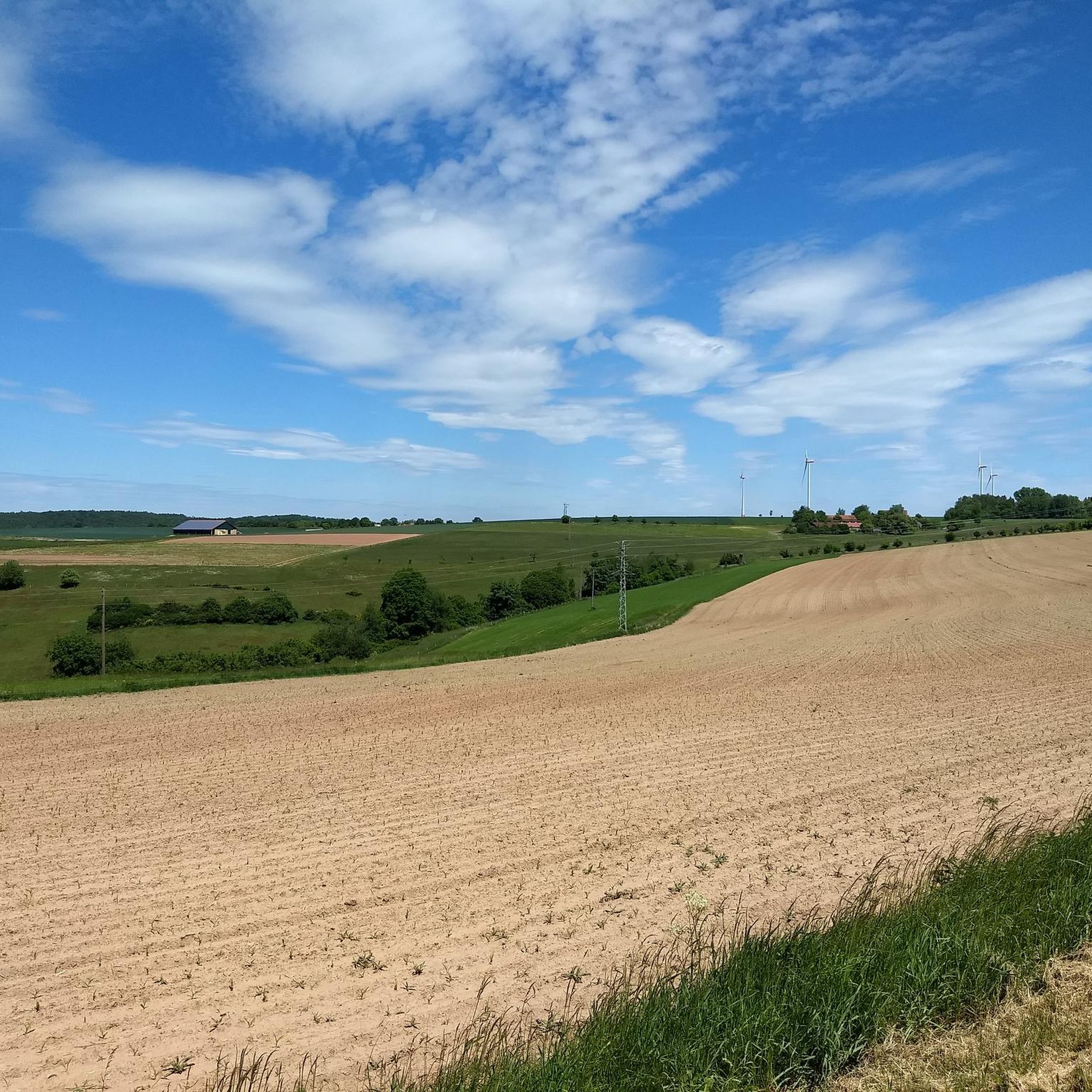
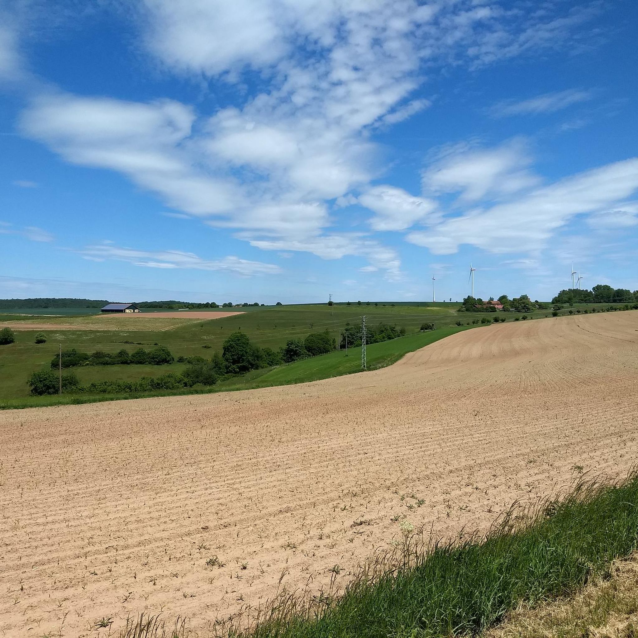
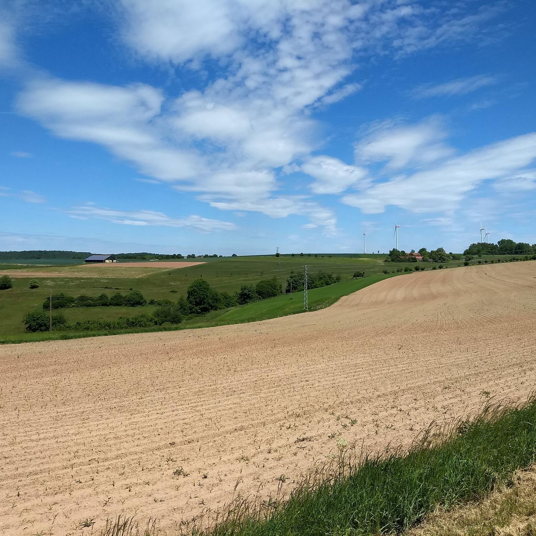
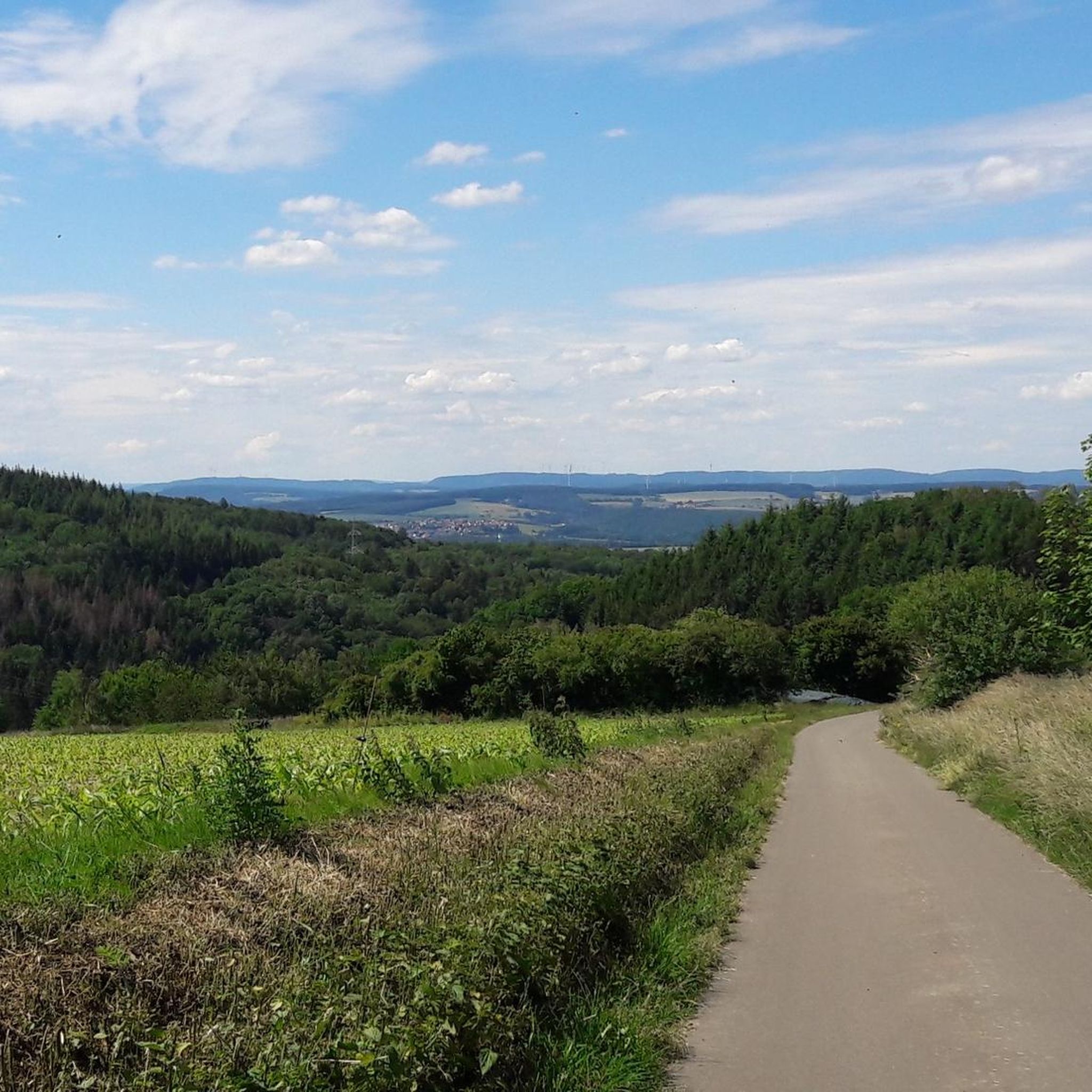
Tips from the Community

Beautiful cycle paths on the Schlossberg⭐️⭐️⭐️
1
0

An ancient Celtic cult site, a bit difficult to reach by bike, but definitely beautiful! There are stairs leading up from the front, so you definitely can't cycle there.
2
0

There is a Celtic sacrificial stone there.
0
0

After a steep climb, the view makes up for everything
0
0

Here is a cult place from the Celtic period. http://www.historische-orte.de/index.php?title=Keltischer_Kultplatz_%E2%80%9CStumpfer_Gipfel%E2%80%9D
1
0

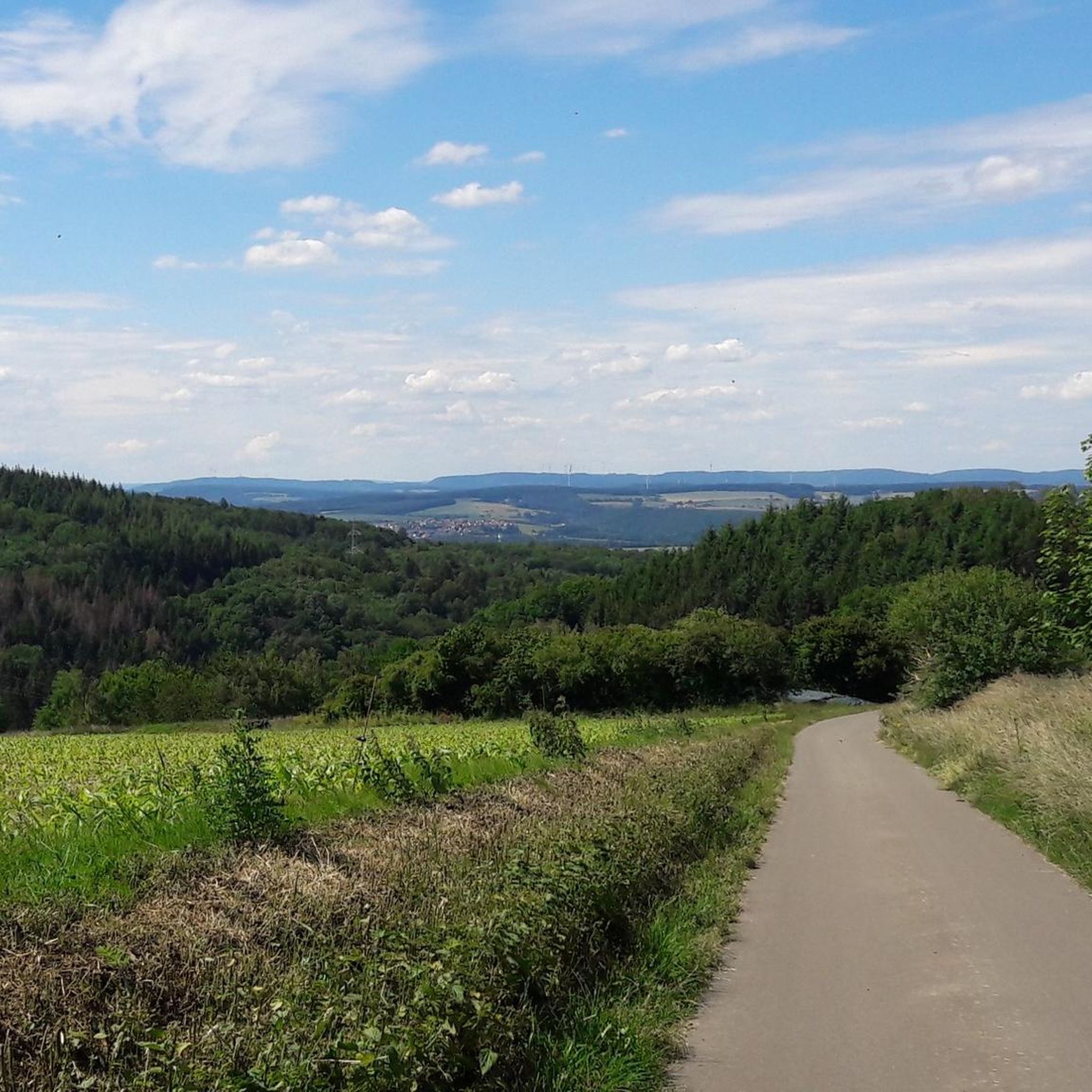
There are fantastic views in all directions from the small observation tower. The small bench below invites you to take a leisurely rest.
3
0

The climb is definitely worth it
3
1
Frequently Asked Questions
What kind of "peaks" can I expect to find around Martinshöhe?
The Martinshöhe region, situated on the Sickinger Höhe, features elevated terrain rather than prominent, towering mountain peaks. You'll discover a landscape with a mix of forests, meadows, and valleys, offering scenic viewpoints and historical sites on its highest points. The highest elevation in the municipality is 403 meters (1,322 feet) above sea level.
Are there historical sites or unique natural features on these elevated points?
Yes, the region is rich in both. For instance, the Blunt Summit is known as an ancient Celtic cult and sacrificial site, with recognizable rock seats. Similarly, the Celtic Ritual Site Stumpfer Gipfel also served as a sacrificial site for druid priests. Beyond these, the Elendsklamm (Elend Gorge) is a notable natural attraction featuring unique rock formations and small cascades.
Which elevated points offer the best views in the Martinshöhe area?
The Schmittshauser Heights are highly recommended for fantastic views in all directions from its small observation tower. The Blunt Summit and the Celtic Ritual Site Stumpfer Gipfel also provide scenic overlooks, often after a rewarding climb.
What hiking opportunities are available near the elevated points around Martinshöhe?
The Martinshöhe region is excellent for hiking, with trails ranging from easy to moderate. Popular routes include the "Elend Cave – Elendsklamm loop from Martinshöhe" and the "St. Martinus Parish Church – Stream in the Palatinate loop from Martinshöhe." You can find more details and routes in the Hiking around Martinshöhe guide.
Are there options for mountain biking or gravel biking in the Martinshöhe region?
Yes, the area offers diverse terrain suitable for both mountain biking and gravel biking. You can explore routes like the "Flowtrail Landstuhl – Weiher Mill loop from Landstuhl" for challenging MTB, or the "Lake Ohmbach – Ohmbach Lake loop from Bruchmühlbach-Miesau" for gravel biking. Discover more in the Gravel biking around Martinshöhe and MTB Trails around Martinshöhe guides.
Are the trails to these elevated points suitable for families or those looking for easier walks?
Many trails in the Martinshöhe area are accessible and suitable for various fitness levels, including families. For example, a shorter 6.1 km path through the Elendsklamm can be completed in about 1 hour and 42 minutes. While some climbs can be steep, there are often easier alternatives or well-maintained paths. Always check the specific route's difficulty before heading out.
What is the best time of year to visit the elevated points around Martinshöhe?
The region's natural beauty, with its forests and meadows, makes it appealing throughout much of the year. Spring and autumn offer pleasant temperatures and vibrant foliage, ideal for hiking. Summer is also great for outdoor activities, though some trails might be busier. Winter can provide a different, serene experience, but check weather conditions as some paths might be slippery or less accessible.
Can I bring my dog on the hiking trails near Martinshöhe's elevated points?
Generally, dogs are welcome on most hiking trails in the Martinshöhe region. However, it's always advisable to keep them on a leash, especially in nature reserves, near wildlife, or when passing through agricultural areas. Ensure you carry water for your dog and clean up after them to maintain the natural environment for everyone.
Where can I find parking for hiking trails leading to these elevated points?
Specific parking information can vary by trailhead. Many popular hiking routes around Martinshöhe, such as those leading to the Elendsklamm or starting from the village itself, typically have designated parking areas. It's recommended to check the starting point details of your chosen route on komoot for precise parking locations.
What makes the Blunt Summit a significant spot to visit?
The Blunt Summit is notable for its historical significance as an ancient Celtic cult and sacrificial site. Visitors can still discern two rock seats at the large stone. Despite a mighty ascent, often involving steps, the climb is considered worthwhile for its unique history and the views it offers.
What can I expect when visiting Schmittshauser Heights?
At Schmittshauser Heights, you'll find a small observation tower that provides fantastic panoramic views. After a steep climb, the reward is a tranquil spot with a small bench, perfect for a leisurely rest. The area also features a former wash well and the remains of a farm, adding to its charm.
Most popular routes around Martinshöhe
Most popular attractions around Martinshöhe

Get inspired with the komoot mobile app


Explore more
See even more amazing summits around Martinshöhe with these guides:
