The 4 Most Amazing Peaks around Imsbach
Best mountain peaks around Imsbach are primarily found within the Donnersberg mountain range, the highest elevation in the Palatinate region of Germany. This area features prominent summits and viewpoints that offer expansive views of the surrounding landscape. The region is characterized by its natural beauty, historical significance, and diverse hiking opportunities. Visitors can explore a variety of elevated features, from high peaks to natural monuments.
Best mountain peaks around Imsbach
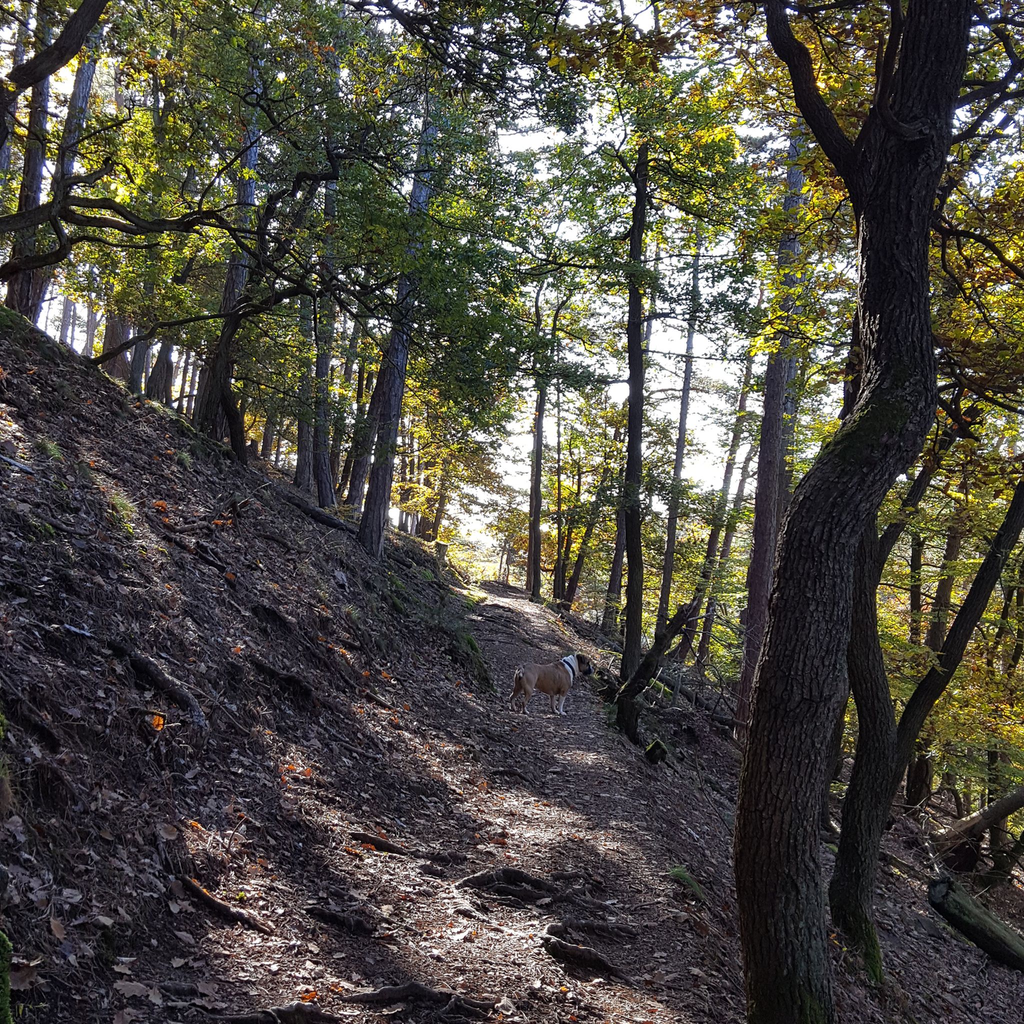
- The most popular mountain peaks is Königsstuhl (Donnersberg summit), a summit that stands as the highest point of the Donnersberg at 686 meters. It offers extensive views and is a central feature of the Palatinate region.
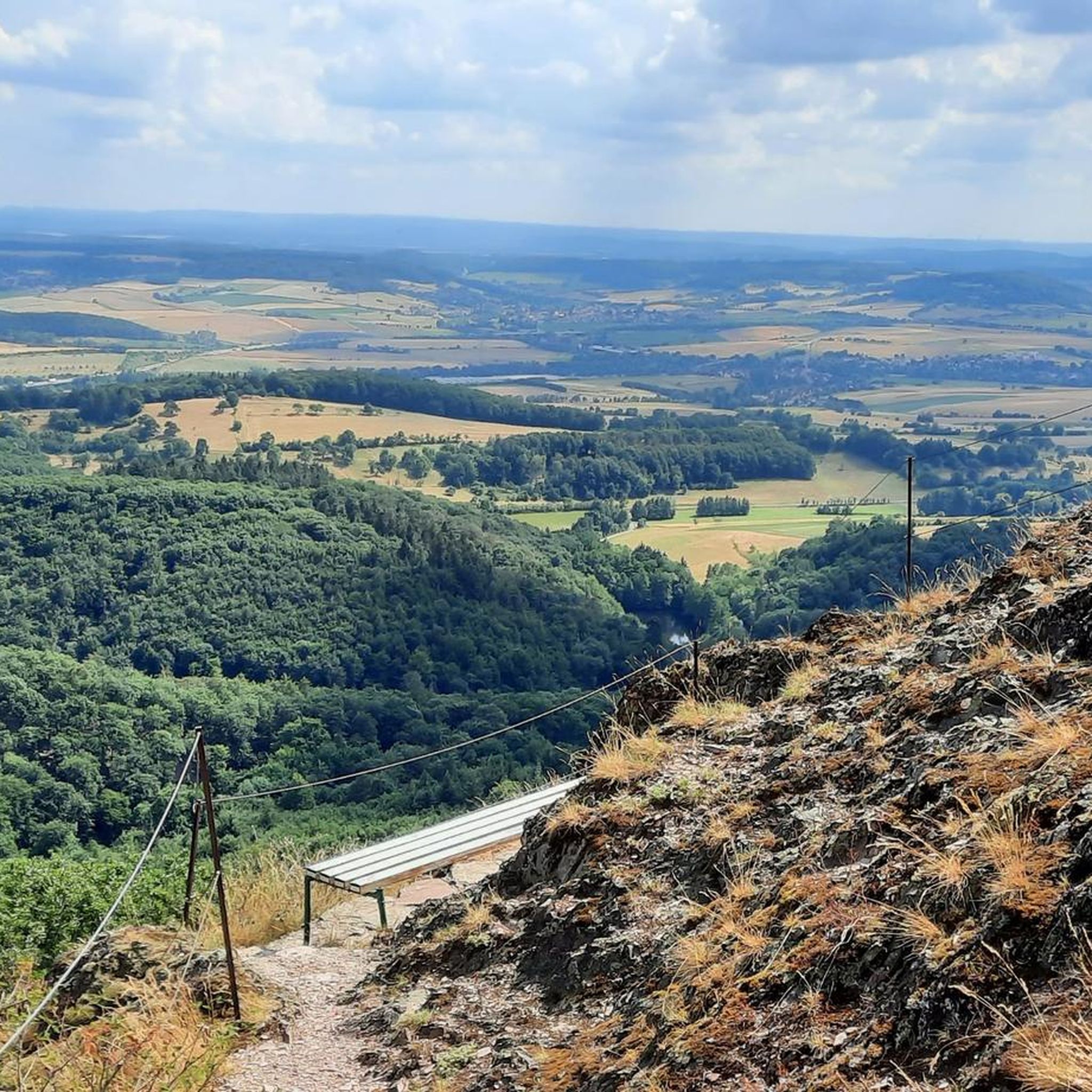
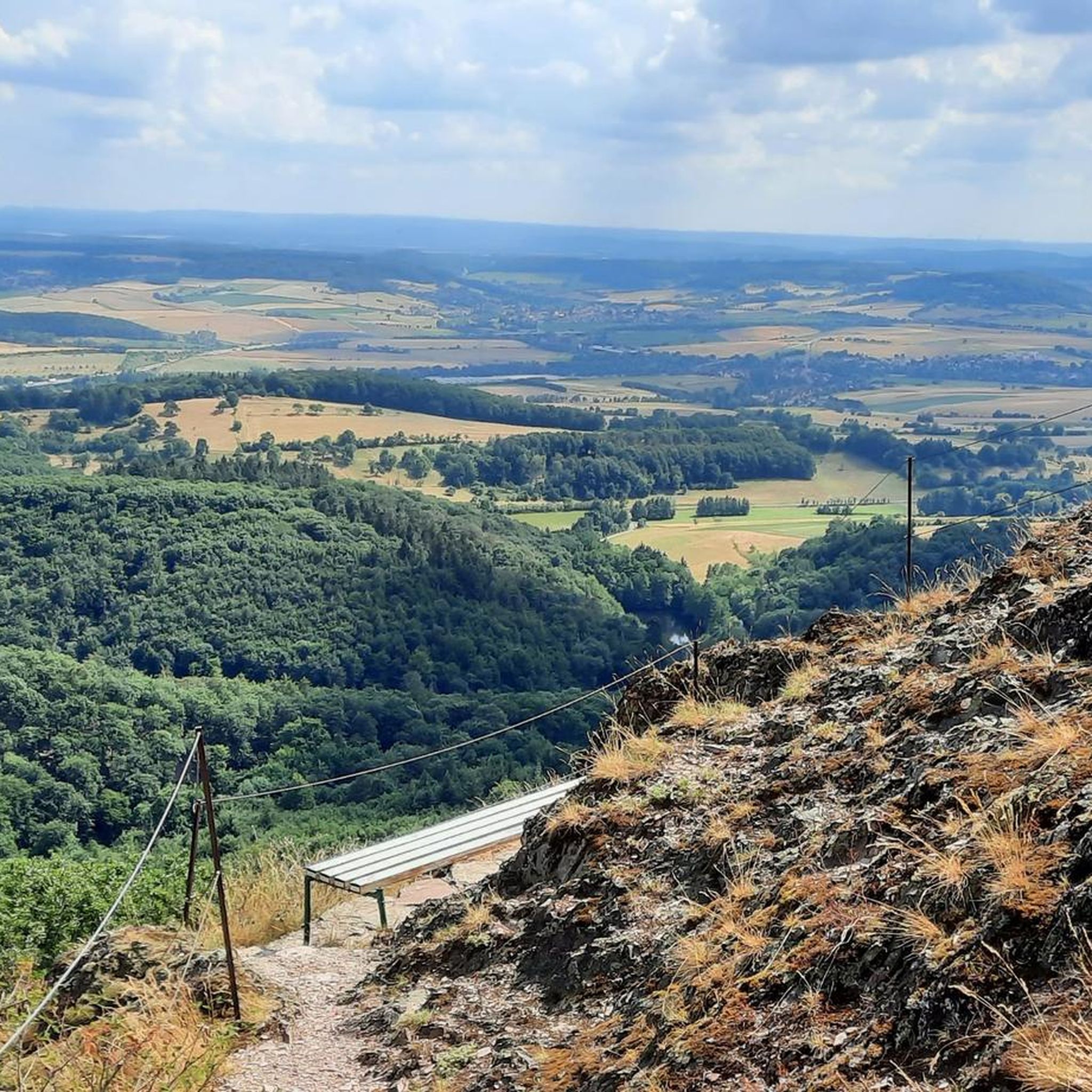
- Another must-see spot is Highest Point of Schweisweiler, a summit with an intermediate difficulty rating. Visitors can expect a clear view of the surrounding area, often with a bench available for resting.
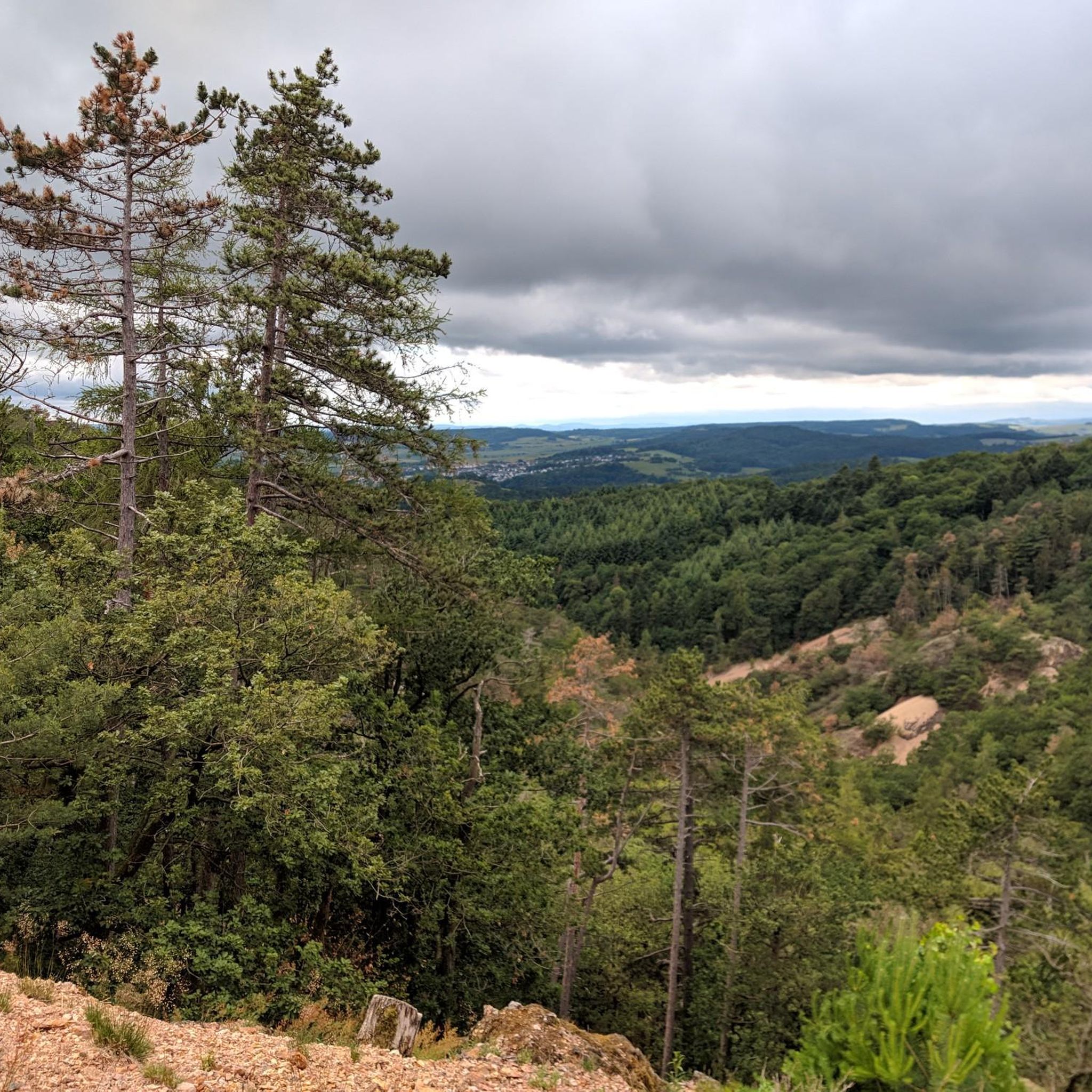
- Visitors also love Mount Albert Stone Cairn, a natural monument and viewpoint. This location is notable for its combination of forest air and views, offering a distinct natural experience.
- Imsbach is known for summits, natural monuments, and viewpoints. The area offers a variety of mountain peaks to see and explore, catering to different interests and activity levels.
- The mountain peaks around Imsbach are appreciated by the komoot community, with more than 1600 upvotes and over 1000 photos shared by visitors.
Last updated: June 27, 2026
Königsstuhl (Donnersberg summit)
Highlight • Summit
Showing Translation
Tip by

Highest Point of Schweisweiler
Highlight • Summit
Translated by Google •
Tip by

Sign up now to discover places like this
Get recommendations on the best single tracks, peaks, & plenty of other exciting outdoor places.
Sign up for free
Mount Albert Stone Cairn
Highlight • Natural Monument
Translated by Google •
Tip by

Klauserkopf
Highlight • Summit
Tour description:
The route starts in Münchweiler an der Alsenz and leads over the Klauserkopf (384 m) to Stauf. Along the way, there are numerous viewpoints offering views of the surrounding hills and valleys of the Palatinate Forest. The route can vary between 8 and 12 kilometers depending on the chosen route.
Translated by Google •
Tip by

Bickberg Summit
Highlight • Summit
Translated by Google •
Tip by

Sign up for free to discover even more peaks around Imsbach.
Sign up for free
Already have an account?
Start today with a free account
Your next adventure awaits.
Login or Signup

Tips from the Community

You feel like you're in Allgäu
0
0

The "Am Klauserkopf" cycle tour leads through the idyllic landscape of the Palatinate Forest, combining nature experiences with cultural aspects. Tour description: The route starts in Münchweiler an der Alsenz and leads over the Klauserkopf (384 m) to Stauf. Along the way, there are numerous viewpoints offering views of the surrounding hills and valleys of the Palatinate Forest. The route can vary between 8 and 12 kilometers depending on the chosen route.
0
0

The municipality of Schweisweiler, with around 383 inhabitants, is located in the narrow valley of the river Alsenz, surrounded by steep mountains. Up here, you can enjoy a wonderful view!
1
0

Nice view home 🌳✅
0
0

Steep climb from Falkenstein.
0
0

The highest elevation on the way between Krobuchenhütte and Grüner Löwe
1
0

Hm, natural monument is something different for me....
3
2
Frequently Asked Questions
Where is Imsbach located and what mountain range is it part of?
Imsbach is a municipality in the Donnersbergkreis district of Rhineland-Palatinate, Germany. The mountain peaks around Imsbach are primarily found within the larger Donnersberg mountain range, which is the highest elevation in the Palatinate region.
What are the most prominent mountain peaks and viewpoints around Imsbach?
The most prominent peak is Königsstuhl (Donnersberg summit), standing at 686 meters as the highest point of the Donnersberg. Other notable spots include the Highest Point of Schweisweiler, Mount Albert Stone Cairn, and viewpoints like Hirtenfels and Adlerbogen, which offer expansive views.
What kind of views and natural features can I expect from the mountain peaks?
You can expect breathtaking panoramic views of the Palatinate region and beyond from peaks like Königsstuhl and the Ludwigsturm. Many areas, such as Mount Albert Stone Cairn, also offer a combination of forest air and scenic vistas, often featuring unique geological formations like the Adlerbogen.
Are there family-friendly mountain peaks or trails suitable for children?
Yes, the Donnersberg region offers a variety of hiking trails with varying difficulty levels, making some suitable for families. While specific 'family-friendly' categories aren't listed for individual peaks, the diverse network of trails means you can find easier paths to enjoy the natural beauty with children. Many trails include shelters and refreshment stops.
What are the difficulty levels of hiking trails to the mountain peaks near Imsbach?
The trails around Imsbach's mountain peaks, particularly those leading to the Donnersberg summit, range from easy to difficult. For instance, Highest Point of Schweisweiler is rated intermediate, as are Klauserkopf and Bickberg Summit. You can find trails catering to various fitness levels, from leisurely walks to more strenuous climbs.
What outdoor activities can I do near these mountain peaks?
Besides hiking, the region around Imsbach offers various outdoor activities. You can find numerous routes for mountain biking, such as the 'Adlerbogen on Donnersberg – Falkenstein Castle loop' or the 'Eiserner Mann Viewpoint – Kupferberg Hut loop'. There are also cycling routes like the 'Palatinate Cycle Path' and running trails, including the 'Keiperweg – Kronbuchenhütte loop'. You can explore more options in the MTB Trails around Imsbach, Cycling around Imsbach, and Running Trails around Imsbach guides.
Are there any historical or cultural sites near the mountain peaks?
Yes, the Donnersberg region has historical significance. The Adlerbogen viewpoint features display boards explaining its history. Additionally, between the Adlerbogen and Ludwigsturm, you can find a Celtic sculpture path with 13 stations and information boards, offering a cultural dimension to your hike.
What is the best time of year to hike the mountain peaks around Imsbach?
The mountain peaks around Imsbach offer stunning views throughout the year. Spring and autumn are particularly popular for their pleasant temperatures and vibrant natural colors. Summer provides longer daylight hours, while winter can offer a unique, serene experience, though conditions may require appropriate gear.
Are there places to eat or rest near the mountain trails?
Yes, the hiking experience is enhanced by the presence of shelters at various points, such as the Hirtenfels. You can also find refreshment stops like the 'Kupferberghütte' and 'Kronbuchenhütte' along many trails, providing opportunities to rest and refuel.
Can I spot wildlife while hiking the mountain peaks around Imsbach?
The Donnersberg region, with its extensive forests and natural landscapes, provides habitats for various wildlife. While specific sightings are never guaranteed, hikers often have the chance to observe local flora and fauna, especially in quieter areas and during early morning or late afternoon hikes.
Are there any recommended circular hiking routes around the Imsbach mountain peaks?
Yes, the region is known for its well-developed network of hiking trails, including circular routes. For example, the Hirtenfels is integrated into beautiful hiking tours that can also include the Adlerbogen and Ludwigsturm, forming scenic loops. The 'Hinkelstein - circular hiking trail' is another option, offering views of Donnersberg.
What do visitors enjoy most about the mountain peaks around Imsbach?
Visitors consistently praise the 'breathtaking views' and the 'fantastic feeling' of standing on the highest points like Königsstuhl. The diverse hiking trails, the natural beauty, and the presence of amenities like benches for resting and shelters are also highly appreciated. Many enjoy the combination of forest air and scenic vistas.
Most popular attractions around Imsbach

Get inspired with the komoot mobile app


Explore more
See even more amazing summits around Imsbach with these guides:
