The 7 Most Amazing Peaks around Karl
Best mountain peaks around Karl are found in the Eifel region of Germany, characterized by its unique volcanic landscape. This area features ancient volcanic formations, crater lakes, and forested slopes. The terrain offers opportunities for exploring natural monuments and scenic viewpoints. Visitors can experience diverse geological features and panoramic vistas.
Best mountain peaks around Karl
- The most popular mountain peaks is Windsborn Crater summit, a volcanic crater summit and viewpoint. It features one of the few volcanic crater lakes…
Last updated: June 27, 2026
Windsborn Crater summit
Highlight • Viewpoint
Translated by Google •
Tip by

Mosenberg Lookout Tower
Highlight • Viewpoint
Translated by Google •
Tip by

Sign up now to discover places like this
Get recommendations on the best single tracks, peaks, & plenty of other exciting outdoor places.
Sign up for free
Lava rock formations at the summit of Mosenberg
Highlight • Natural Monument
Translated by Google •
Tip by

Panoramic platform at Burgberg
Highlight • Viewpoint
Translated by Google •
Tip by

View from the Buerberg summit
Highlight • Summit
Translated by Google •
Tip by

Sign up for free to discover even more peaks around Karl.
Sign up for free
Already have an account?
Start today with a free account
Your next adventure awaits.
Login or Signup

Tips from the Community

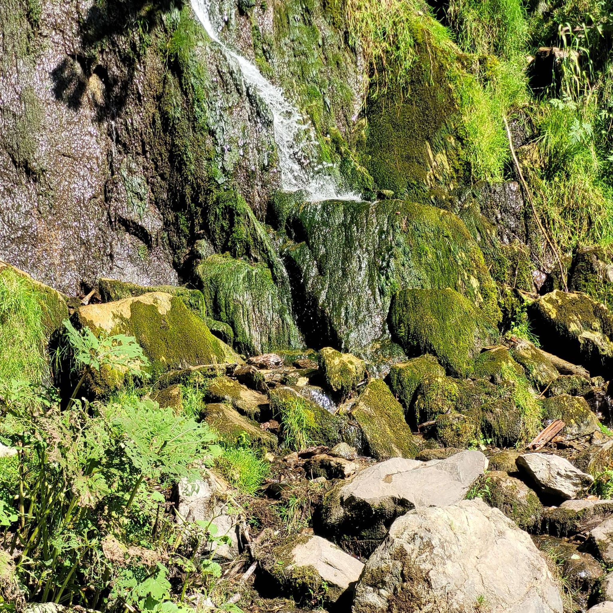
The floor is lava! Well, big boulders with solidified lava.
0
0

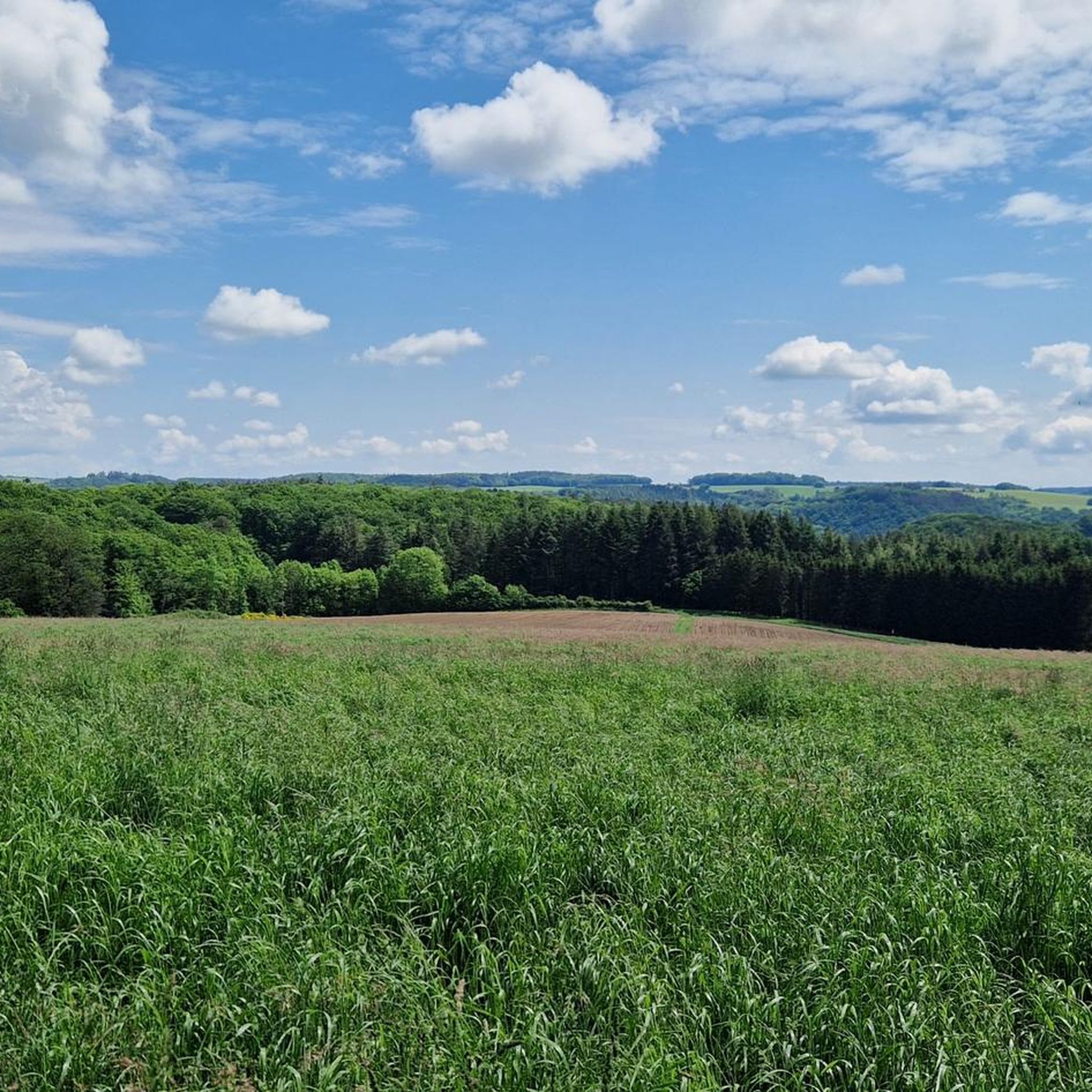
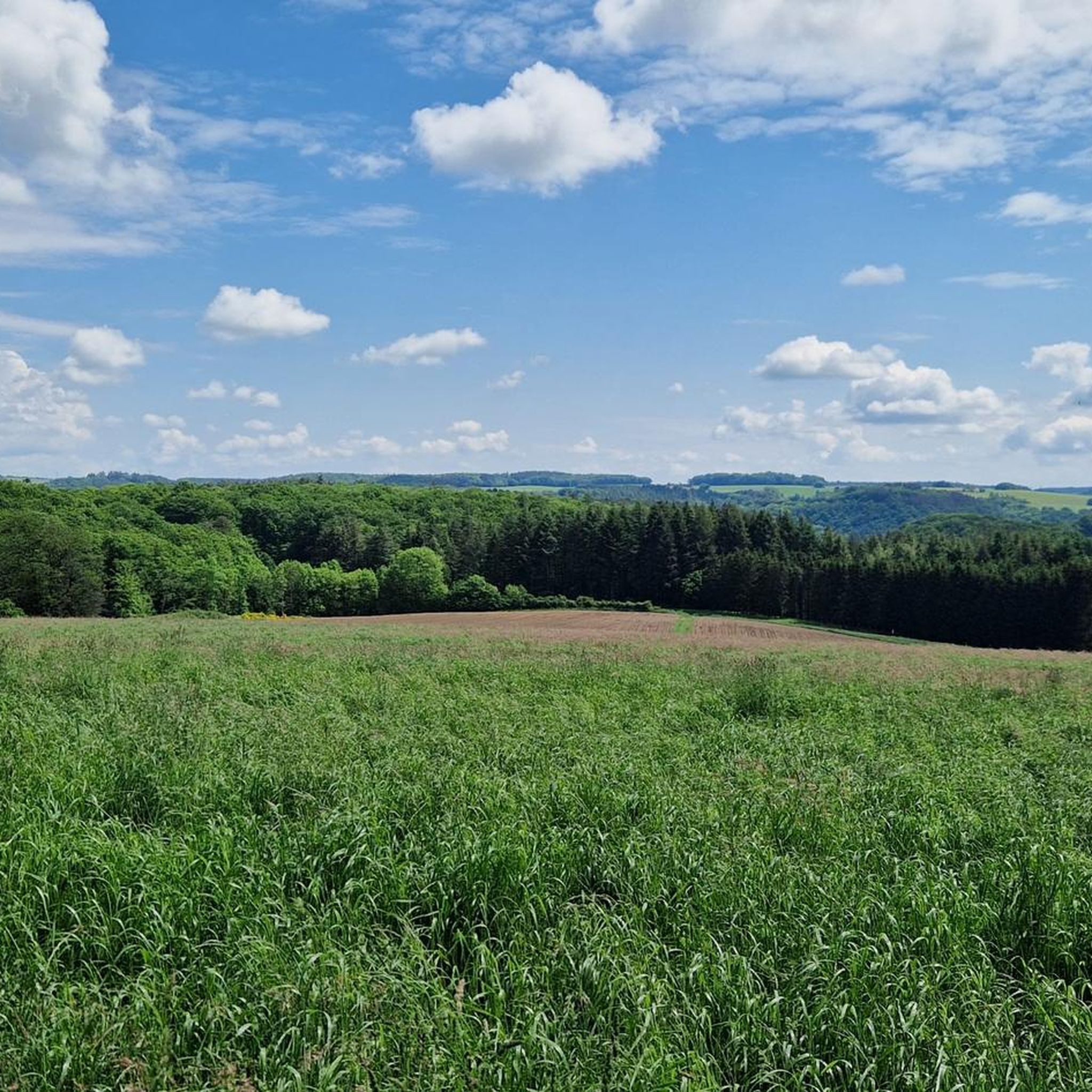
The ascent to the summit with its great views leads from the car park along a path through terraces that were once used by farmers (some of which still have old fruit trees) with bizarre tree growth shapes. From the summit you can see the valley of the Kleine Kyll at your feet and in the background the three-peaked and wooded "crater rim" of the Windsborn and to the right the meadows and pastures with the "Landesblick" observation tower (next to the mobile phone antenna) above the Meerfelder Maar.
1
0

Beautiful section of the path that leads us between lava rocks to the Windsborn crater lake.
2
0

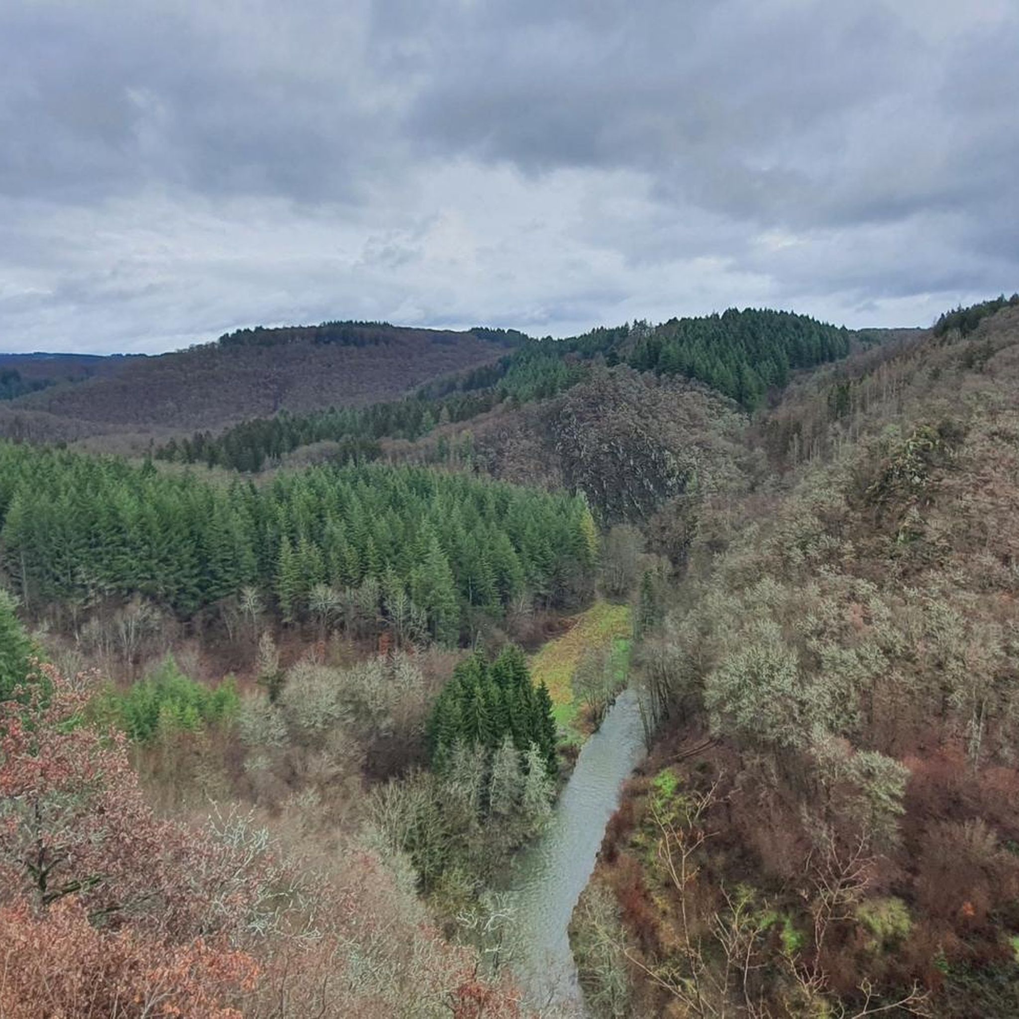
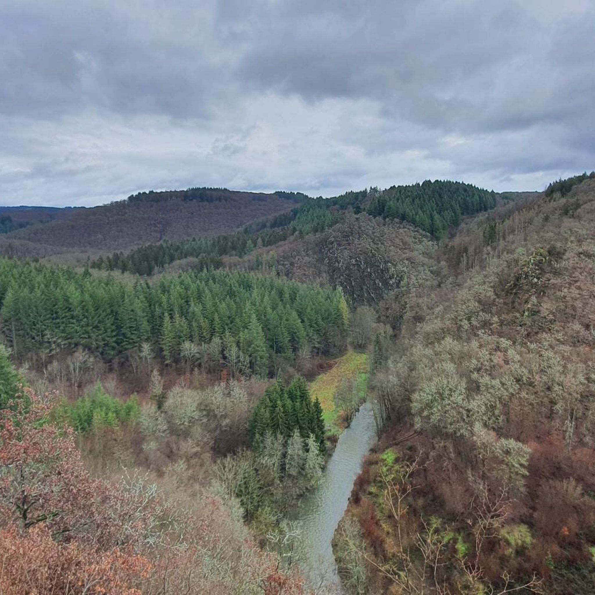
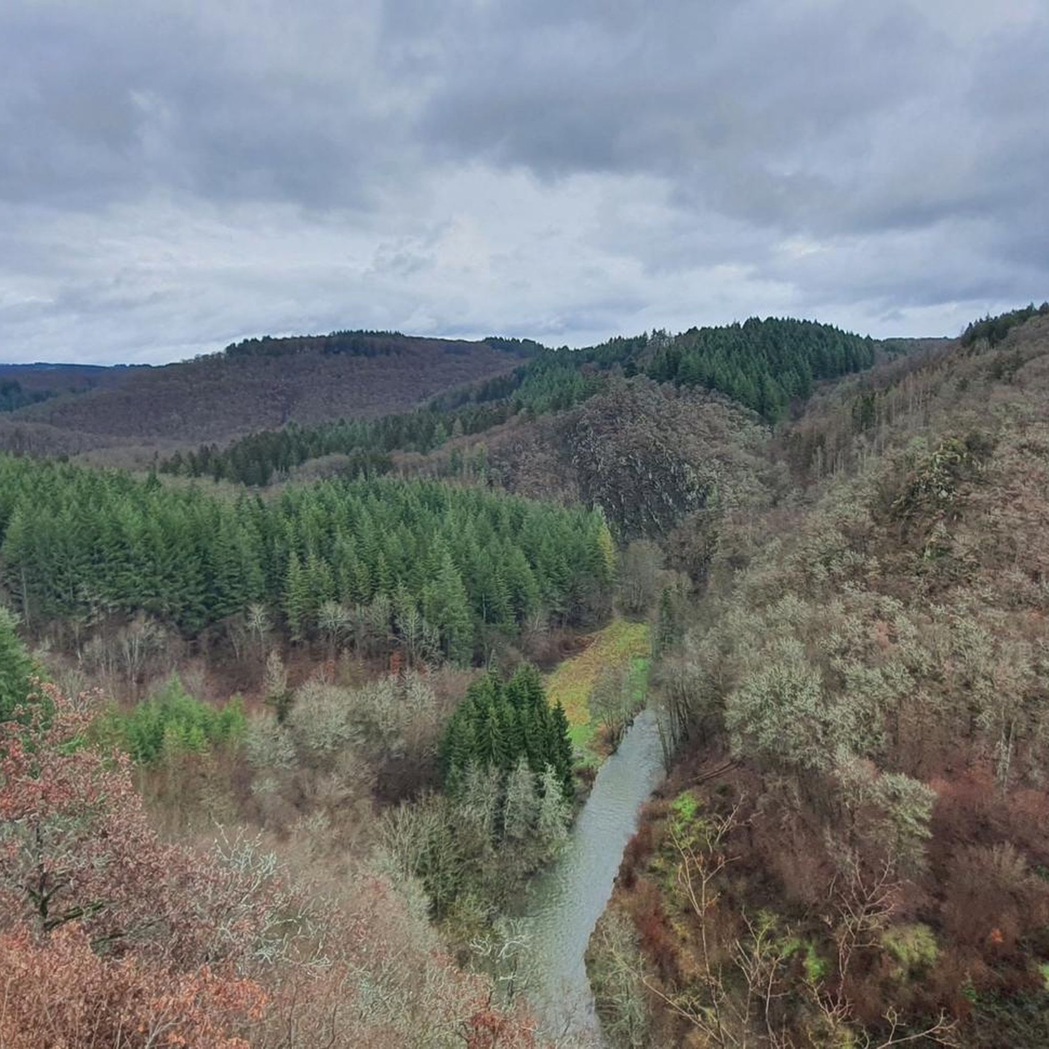
After the climb you will be rewarded with a great view of the Liesertal
0
0
View far below to the Lieser and the surrounding hills
0
0
The path to the small platform goes directly to the left of the hut and is a bit overgrown. The view is great 👍
0
0

The Liesertal reminds me of a small edition of the famous Moselle loop. Very nice place to rest in the associated hut. Above all, it is halfway in the middle of the 3rd stage of the Lieser path.
1
1
The viewing platform on the Burgberg is definitely worth a detour from the Liser path. The Liesertal reminds me of a small edition of the famous Moselle loop. Very nice place to rest in the associated hut. Above all, it is halfway in the middle of the 3rd stage of the Lieser path.
3
0
Frequently Asked Questions
What are the most popular mountain peaks and viewpoints around Karl?
The region around Karl, located in the Eifel, is known for its unique volcanic landscape. Among the most popular spots are the Windsborn Crater summit, which features one of the few volcanic crater lakes north of the Alps. Another highly appreciated location is the View over the Lieser Valley from the Burgberg viewing platform, offering extensive panoramic views. Visitors also enjoy the Summit Cross at Burgen Klettersteig, which provides a great view from the top, accessible via a via ferrata.
What unique natural features can I expect to see on the mountain peaks around Karl?
The mountain peaks around Karl are characterized by their volcanic origins. You can explore ancient volcanic formations, including crater lakes like the one at Windsborn Crater summit, which formed around 30,000 years ago. The landscape also features forested slopes, lava rock formations, and numerous elevated positions offering scenic viewpoints over the Eifel region.
What kind of hiking trails can I find around the mountain peaks near Karl?
The Eifel region around Karl offers a variety of hiking trails, ranging from moderate to difficult. You can find routes that lead to volcanic summits, through forests, and along river valleys. For example, there are challenging mountain hikes like the 'Keep of Oberburg Castle loop from Manderscheid' or the 'Whirlpools of the Kleine Kyll – Windsborn Crater summit loop from Manderscheid'. Many trails offer opportunities to explore natural monuments and scenic viewpoints. You can find more details on available routes in the Mountain Hikes around Karl guide.
Are there options for more challenging climbs or via ferratas in the Karl region?
Yes, for those seeking a more challenging experience, the Summit Cross at Burgen Klettersteig offers a via ferrata. This route provides a thrilling climb and rewards you with a great view from the top. It's considered a challenging activity, suitable for experienced adventurers.
What other outdoor activities are available near the mountain peaks around Karl?
Beyond hiking, the area around Karl is excellent for cycling. You can explore various routes for mountain biking, such as those found in the MTB Trails around Karl guide, or enjoy gravel biking adventures, detailed in the Gravel biking around Karl guide. These guides offer routes of varying difficulties, taking you through the diverse Eifel landscape.
When is the best time to visit the mountain peaks around Karl for hiking?
The Eifel region is beautiful throughout the year, but for hiking, spring, summer, and autumn generally offer the most pleasant conditions. Spring brings blooming nature, summer provides warm weather for longer days, and autumn showcases vibrant fall foliage. Always check local weather forecasts before heading out, as conditions can change, especially at higher elevations.
Are the mountain peaks around Karl suitable for families?
Many areas around Karl are suitable for families, especially those with well-maintained paths and moderate inclines. While some peaks involve challenging climbs, there are also easier trails and viewpoints that can be enjoyed by all ages. For example, the Windsborn Crater summit offers a unique natural experience that can be fascinating for children. Look for circular routes or shorter paths for family-friendly outings.
Can I bring my dog on hikes around the mountain peaks near Karl?
Generally, dogs are welcome on hiking trails in the Eifel region. However, it's always advisable to keep your dog on a leash, especially in nature reserves, near livestock, or in areas with wildlife. Be mindful of other hikers and ensure your dog is well-behaved. Always carry water for your pet and clean up after them.
Where can I find parking for hiking trails to the mountain peaks near Karl?
Parking options are typically available near popular trailheads and villages in the Eifel region. Many hiking routes start from designated parking areas in towns like Manderscheid or near specific attractions. It's recommended to check the starting points of specific routes or guides on komoot for detailed parking information before your trip.
Are there places to eat or rest near the mountain trails around Karl?
Yes, the Eifel region has various villages and towns where you can find cafes, restaurants, and guesthouses. Many popular hiking routes pass through or near these settlements, offering opportunities for a meal or a break. Additionally, some viewpoints, like the View over the Lieser Valley from the Burgberg viewing platform, have refuges or benches perfect for a picnic or a short rest.
What is the Mosenberg Lookout Tower and what views does it offer?
The Mosenberg Lookout Tower is located on one of the most striking volcanic mountains in the Eifel. From the top of the tower, you can enjoy beautiful views to the north towards the Meerfelder Maar and to the east towards Manderscheid. It's a great spot to get a panoramic perspective of the surrounding volcanic landscape, including the nearby water-filled Windsborn Crater.
Are there any circular hiking routes around the mountain peaks near Karl?
Yes, the region offers several circular hiking routes that allow you to experience the diverse landscape. For instance, you can find routes that loop around the Mosenberg volcanic massif, incorporating highlights like the Windsborn Crater summit and its crater lake. These circular paths are excellent for exploring the area without retracing your steps.
Most popular attractions around Karl

Get inspired with the komoot mobile app


Explore more
See even more amazing summits around Karl with these guides:
