The 7 Most Amazing Peaks around Großpürschütz
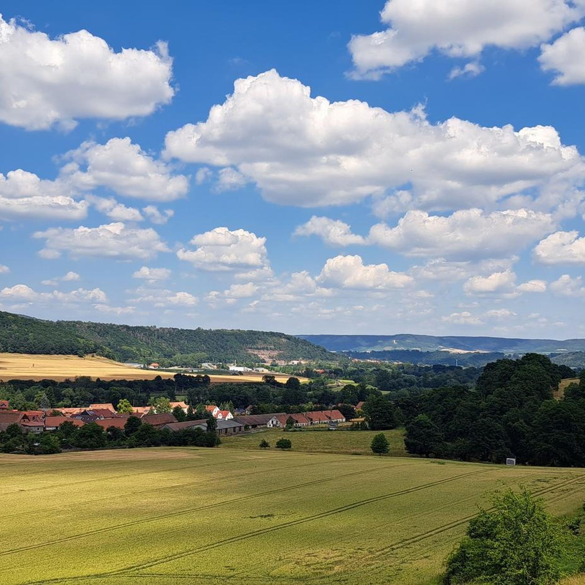
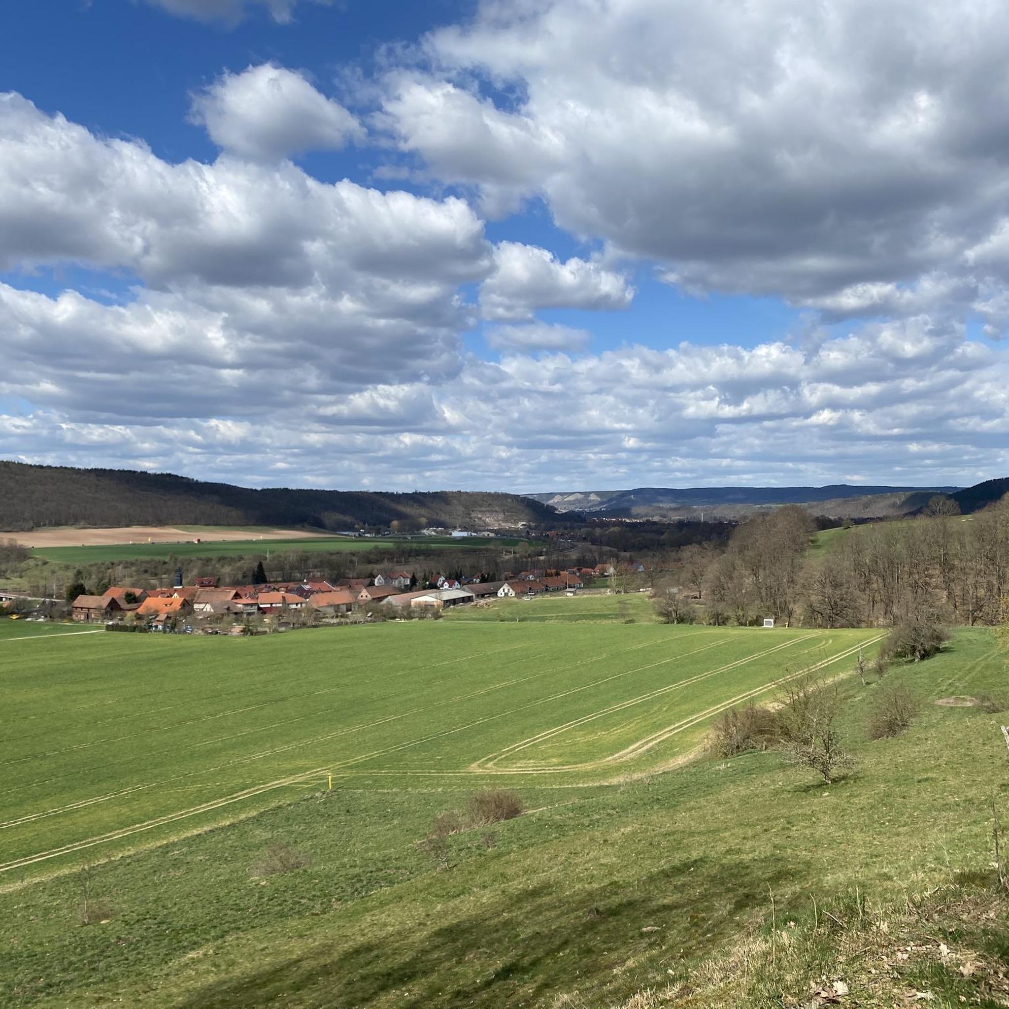
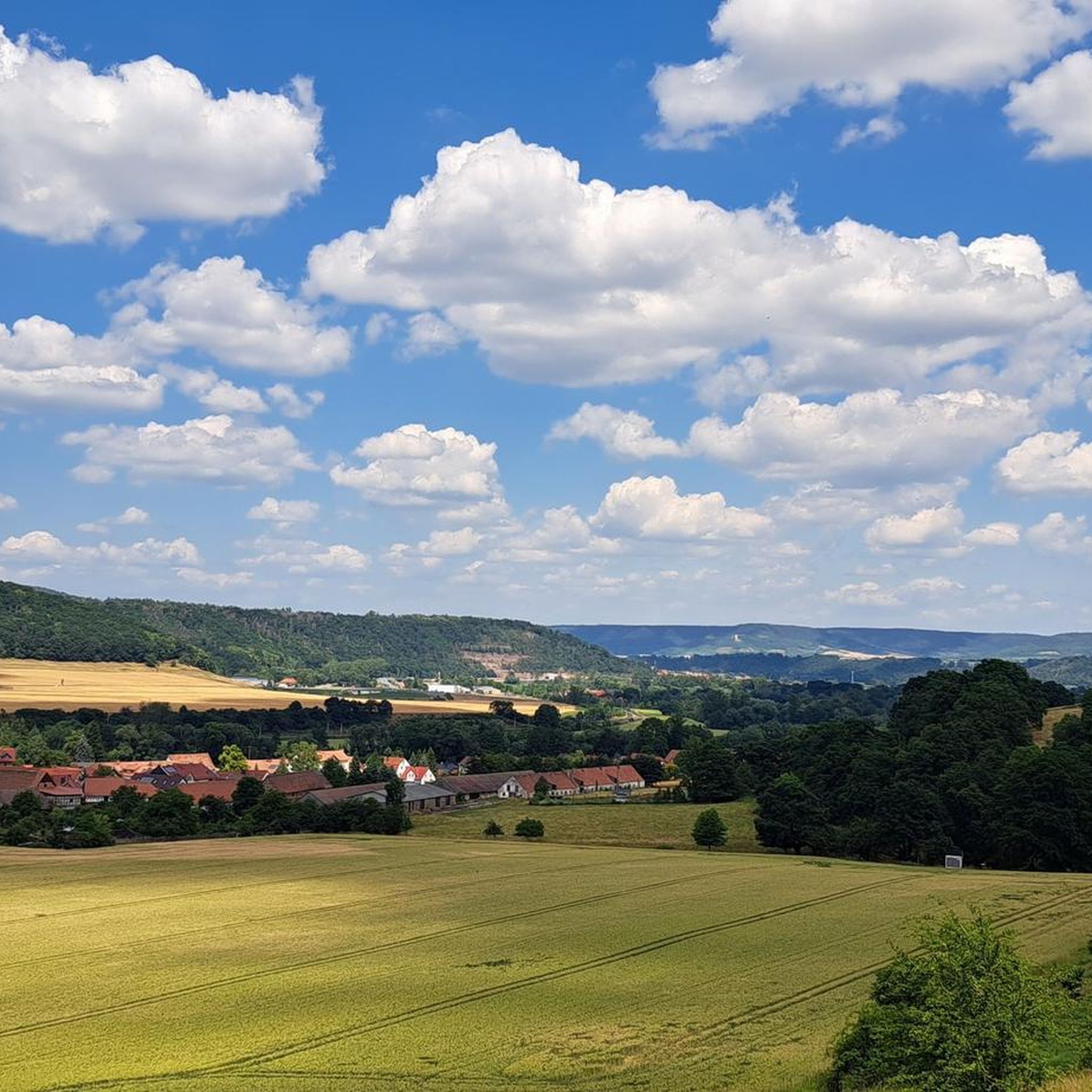
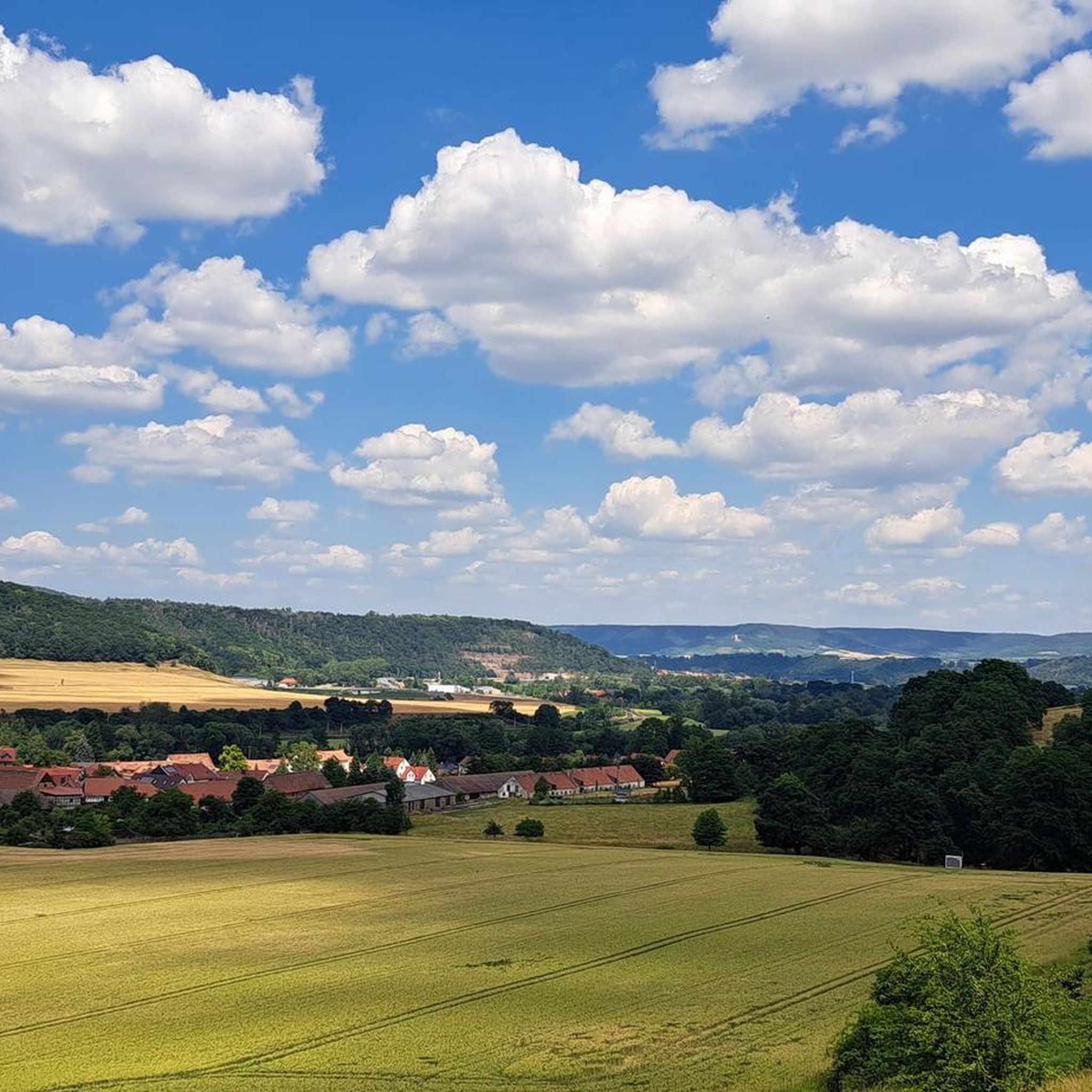
Best mountain peaks around Großpürschütz are found within the hilly topography of the Middle Saale Valley landscape conservation area in Thuringia, Germany. This region is characterized by extensive woodlands and elevated points that offer views over the surrounding countryside. While not alpine, these peaks provide opportunities for exploration and offer diverse natural features. The highest points in the vicinity are typically around 360 meters above sea level.
Best mountain peaks around Großpürschütz
- The most popular mountain peaks is Dohlenstein,…
Last updated: July 10, 2026
Dohlenstein
Highlight • Natural Monument
More information: de.wikipedia.org/wiki/Dohlenstein
Translated by Google •
Tip by

Jena-Göschwitz station
Highlight • Rest Area
Take-away lunch is available on platform 3/4 from Monday to Friday. All dishes cost € 5.
Bockwurst sausages, Viennese, …
Translated by Google •
Tip by

Sign up now to discover places like this
Get recommendations on the best single tracks, peaks, & plenty of other exciting outdoor places.
Sign up for free
Alpine Ascent to Dohlenstein and Trail to Leuchtenburg
Highlight • Trail
Translated by Google •
Tip by

Hilltop near Dürrengleina
Highlight • Viewpoint
Translated by Google •
Tip by

Ferdinandberg
Highlight • Summit
Translated by Google •
Tip by

Sign up for free to discover even more peaks around Großpürschütz.
Sign up for free
Already have an account?
Start today with a free account
Your next adventure awaits.
Login or Signup
Tips from the Community


There are two clearly defined alpine ascents that are easily manageable with trekking poles. Beyond these, there are other routes, but these carry a slightly higher risk of slipping. This risk can be reduced by wearing very good hiking boots, using trekking poles effectively, and having absolute sure footing. Any injuries can be mitigated by reacting quickly and correctly if you do slip. A free fall is out of the question as long as you're not climbing. Given the loose rock, climbing is not advisable anyway.
0
0

You can do the trail without climbing equipment. However, it's very steep, sometimes slippery, and unsecured. In my opinion, it's very dangerous when wet. Fantastic views!
0
0
Yes, you could say that: you don't need climbing equipment. But it's steep, sometimes slippery, and not doable when wet. Fantastic view from the top!
0
0

Not far from the train station, two beautiful historic steel truss bridges lead over the Saale to the hiking trails to Leuchtenburg. It's worth looking at the river and the beavers' tracks from here!
2
0


I liked it. At least 6 platforms. With shelters. Ideal for starting and ending hikes.
1
0

The view of the rock from the bike path. A few daring people try to climb up here again and again. A little hint; let it go. The rock is brittle and very loose. The rescue from the wall is only possible with great effort. So just look up in awe and hope that the Leuchtenburg doesn't accidentally come your way.
1
0
Frequently Asked Questions
What kind of elevated points or 'peaks' can I expect around Großpürschütz?
The Großpürschütz area, located in the Middle Saale Valley landscape conservation area, features a hilly topography with extensive woodlands rather than traditional mountain peaks. You'll find elevated points and summits that offer scenic views over the surrounding countryside, with the highest points typically around 360 meters above sea level. These are ideal for walks and exploring nature.
Which are the most popular elevated points or 'peaks' to visit near Großpürschütz?
Among the most popular elevated points are Dohlenstein, a natural monument with a rest area offering views of the Saale, and Hilltop near Dürrengleina, known for its beautiful foresight in all directions. Another notable spot is Summit Cross In The Long Pines, a 282-meter high summit nestled in the woods.
Are there any challenging hikes to these elevated points?
While the region isn't alpine, some trails can be challenging. For instance, the 'Alpine Ascent to Dohlenstein' section of the Alpine Ascent to Dohlenstein and Trail to Leuchtenburg is described as steep and sometimes slippery, especially when wet, offering fantastic views from the top. It's manageable without climbing equipment but requires caution.
What natural features can I discover when exploring the elevated points?
You can expect to find diverse natural features such as dense woodlands, scenic river valleys, and unique rock formations like those at Dohlenstein. Many elevated points also serve as excellent viewpoints, providing panoramic vistas of the Middle Saale Valley.
Are there family-friendly options for exploring the elevated points around Großpürschütz?
Yes, the area offers many easy hiking routes that are suitable for families. For example, the guide for Easy hikes around Großpürschütz includes routes like the 'View of Kahla from the Dohlenstein – Zickzack-Lutherweg Trail loop from Kahla', which are generally shorter and less strenuous.
What is the best time of year to visit the elevated points near Großpürschütz?
The region is generally pleasant for hiking and exploring from spring through autumn. Spring brings blooming nature, while autumn offers vibrant foliage. Summer is also suitable, though it can be warmer. Winter hiking is possible, but some trails might be slippery or require appropriate gear due to snow or ice, especially on steeper sections.
What other outdoor activities can I do near these elevated points?
Beyond hiking, the region is excellent for road cycling. You can find various routes in the Road Cycling Routes around Großpürschütz guide, including loops that offer views of historic castles and the Saale River.
Are there any historical or cultural sites near the elevated points?
Yes, the area is rich in history. For example, the Ferdinandberg summit features a memorial stone path. Additionally, the nearby Leuchtenburg Castle is a significant historical landmark, and many hiking routes, such as those in the Hiking around Großpürschütz guide, incorporate visits to or views of the castle.
What do visitors enjoy most about the elevated points around Großpürschütz?
Visitors frequently praise the beautiful foresight offered from various viewpoints, such as the Hilltop near Dürrengleina. The interesting landscapes, like those at Dohlenstein, and the peaceful experience of being in the middle of the woods are also highly appreciated.
Where can I find parking for hiking trails to these elevated points?
Specific parking information varies by trailhead. However, many hiking routes in the region, including those leading to elevated points, often have designated parking areas in or near Großpürschütz and surrounding villages like Kahla or Seitenroda. It's advisable to check individual route details for precise parking locations.
Are there options for public transport to reach hiking trailheads?
Public transport options, such as local buses or regional trains, can connect you to towns like Kahla, which serve as starting points for many hiking trails in the Middle Saale Valley. Some highlights, like the Alpine Ascent to Dohlenstein and Trail to Leuchtenburg, are noted as being not far from a train station.
Are the trails to these elevated points dog-friendly?
Many trails in the Middle Saale Valley are generally dog-friendly, allowing you to explore with your canine companion. However, it's always recommended to keep dogs on a leash, especially in nature conservation areas or near wildlife, and to check for any specific local regulations or restrictions on individual trails.
Most popular routes around Großpürschütz
Most popular attractions around Großpürschütz

Get inspired with the komoot mobile app


Explore more
See even more amazing summits around Großpürschütz with these guides:
