The 5 Most Amazing Peaks around Bad Muskau
Best mountain peaks around Bad Muskau are found within an idyllic rolling landscape, characterized by significant elevated areas. These higher points are integral to the design of the UNESCO World Heritage Muskau Park. The topography of Bad Muskau features hills and elevated spots that offer picturesque views of the surrounding region. These locations are notable for their role in landscape artistry and provide key viewing points.
Best mountain peaks around Bad Muskau
- The most popular mountain peaks is Drachenberge,…
Last updated: August 20, 2026
Drachenberge
Highlight • Trail
How did the Drachenberg get its name?
A legend tells that God created Lusatia and …
Translated by Google •
Tip by

Vineyard near Weißwasser
Highlight • Summit
Translated by Google •
Tip by

Sign up now to discover places like this
Get recommendations on the best single tracks, peaks, & plenty of other exciting outdoor places.
Sign up for free
Lissberg – The Mountain Where the Fox Lives
Highlight • Summit
Translated by Google •
Tip by
Spitzer Berg
Highlight • Summit
Translated by Google •
Tip by
Marienberg (178 m)
Highlight • Summit
Translated by Google •
Tip by
Start today with a free account
Your next adventure awaits.
Login or Signup
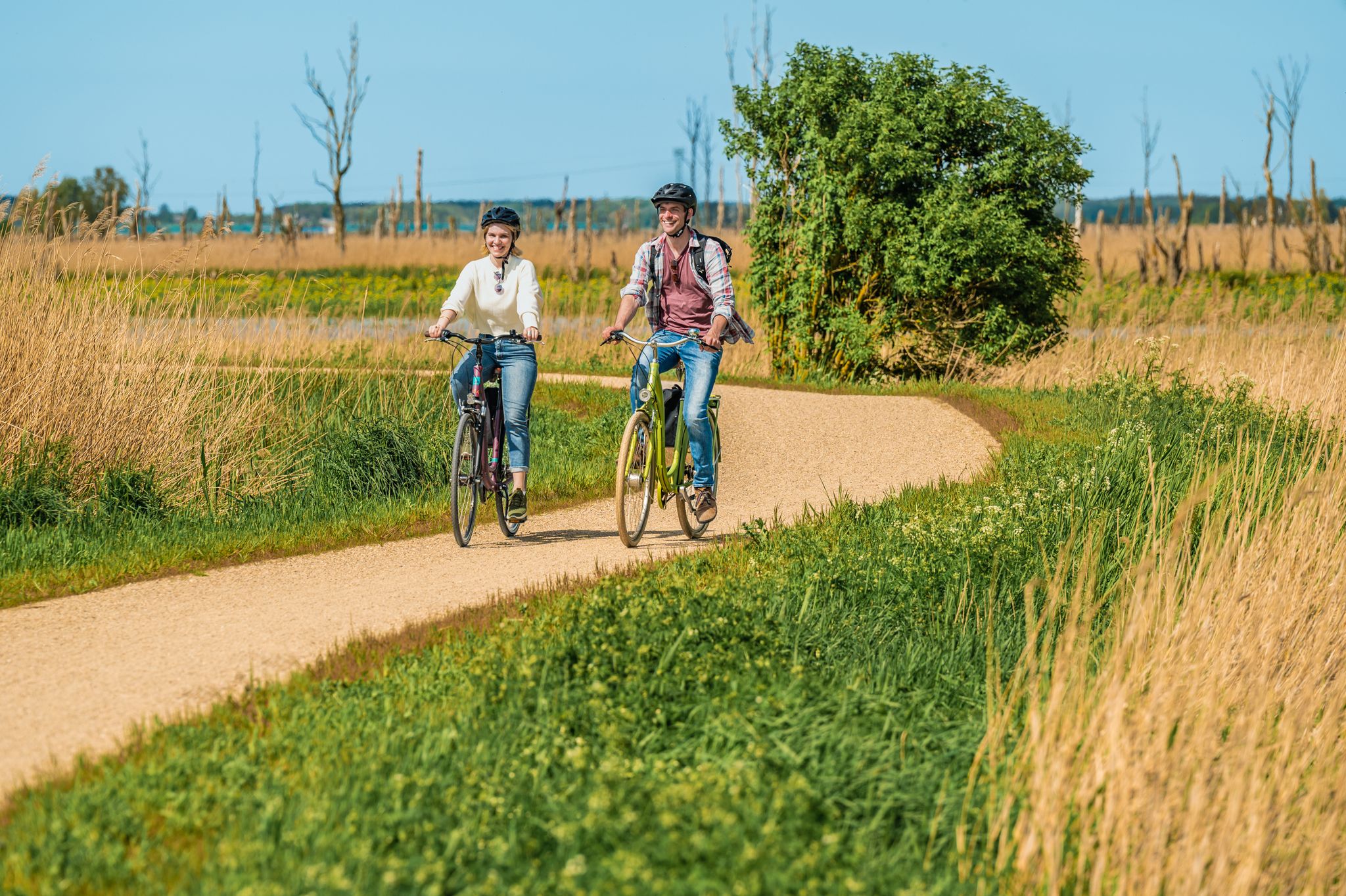
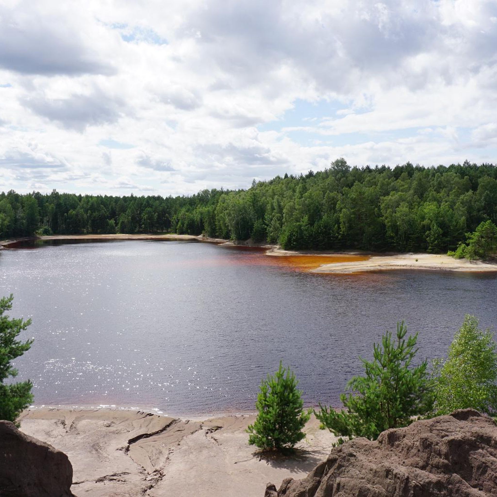
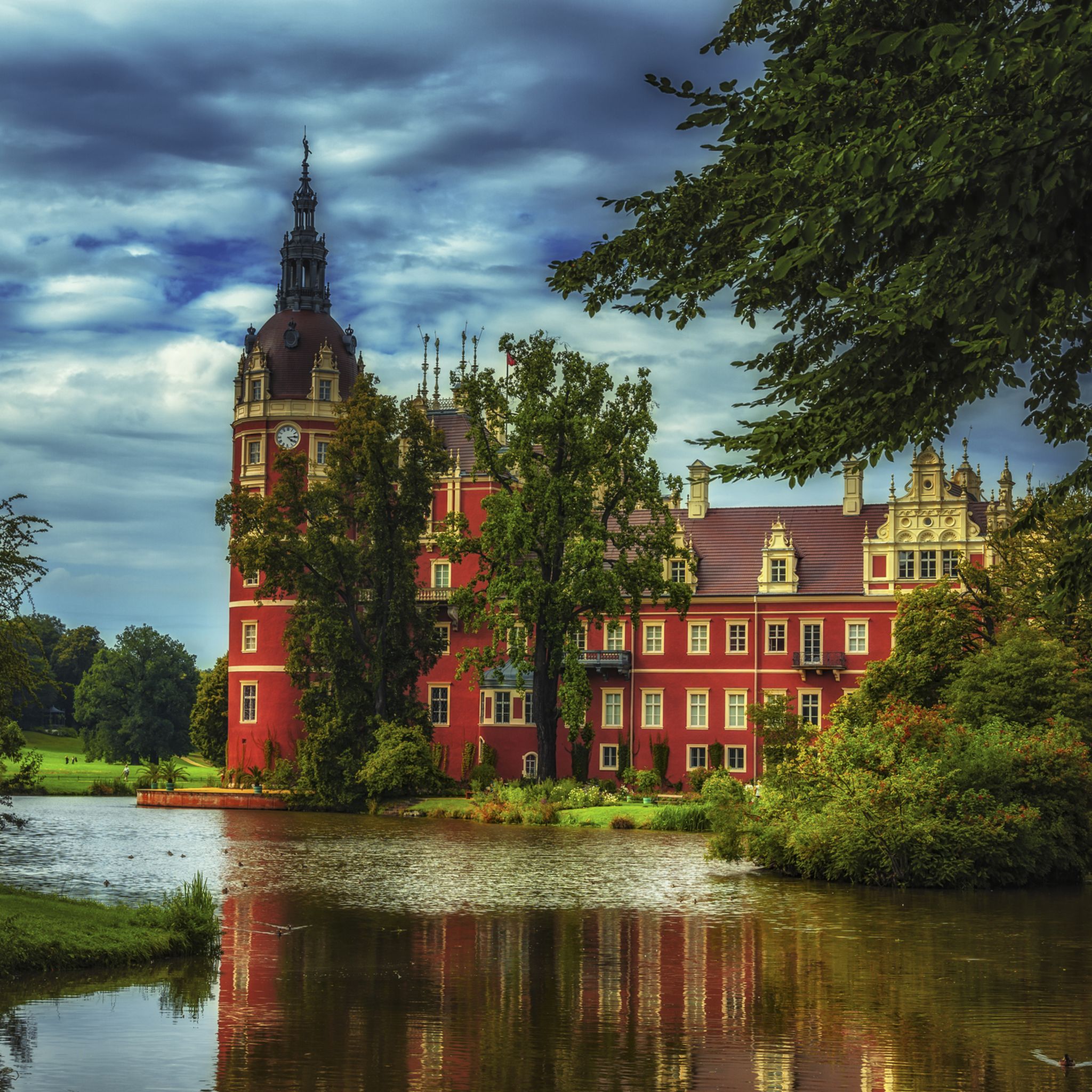
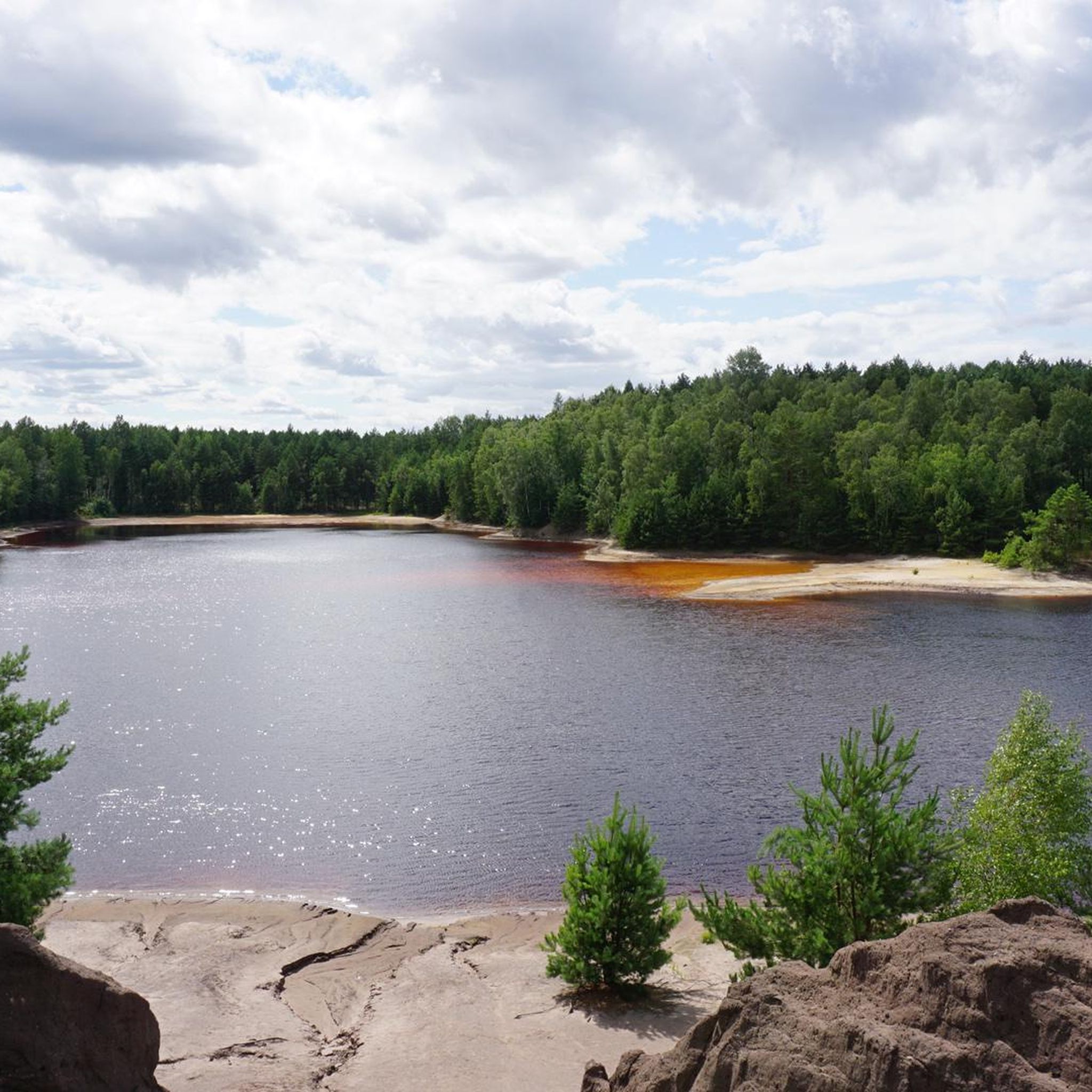
Other adventures around Bad Muskau

Tips from the Community

Difficult to reach by bike, but mountain bikes or e-bikes are advantageous. Unfortunately, there's no view from the top...
1
0

There is no view, but the Spitze Berg is one of the highest points in the Spree-Neiße district at 155 meters above sea level. Opposite the mountain is a deciduous forest, which is particularly beautiful in autumn when the leaves change color. A little further on is a large heathland area, which blooms from August to early September. When the weather is right, the entire area is an excellent mushroom hunting area.
1
0
Prince Pückler's grandfather actually grew wine here. A fire watchtower was built at the beginning of the 20th century. Below the hill are the Weinberghaus (formerly a tourist restaurant, now a private residence) and the Weinbergsee, a natural body of water. The Weinberg/Feuerturmberg is the second highest elevation in the former Weißwasser district after the Drachenberg.
8
0

The Drachenberg summit is the highest elevation at 163 m above sea level. N.N. Here is more information about a
1
0
Now the Drachenberg summit is in sight. it is 163m above sea level. Another effort uphill and then it's done,
2
1
Another interesting post from the LR: https://www.lr-online.de/lausitz/weisswasser/krauschwitz-nicht-pilze_-dafuer-ein-quickie-38017084.html
9
0
There is nothing spectacular to see there, not even a bench to sit on:-( and only a view of the surrounding forest. But at 178 m one of the highest elevations in the Spree-Neisse district, idyllically situated and a varied stock of trees: pines, spruces and deciduous trees.
9
0

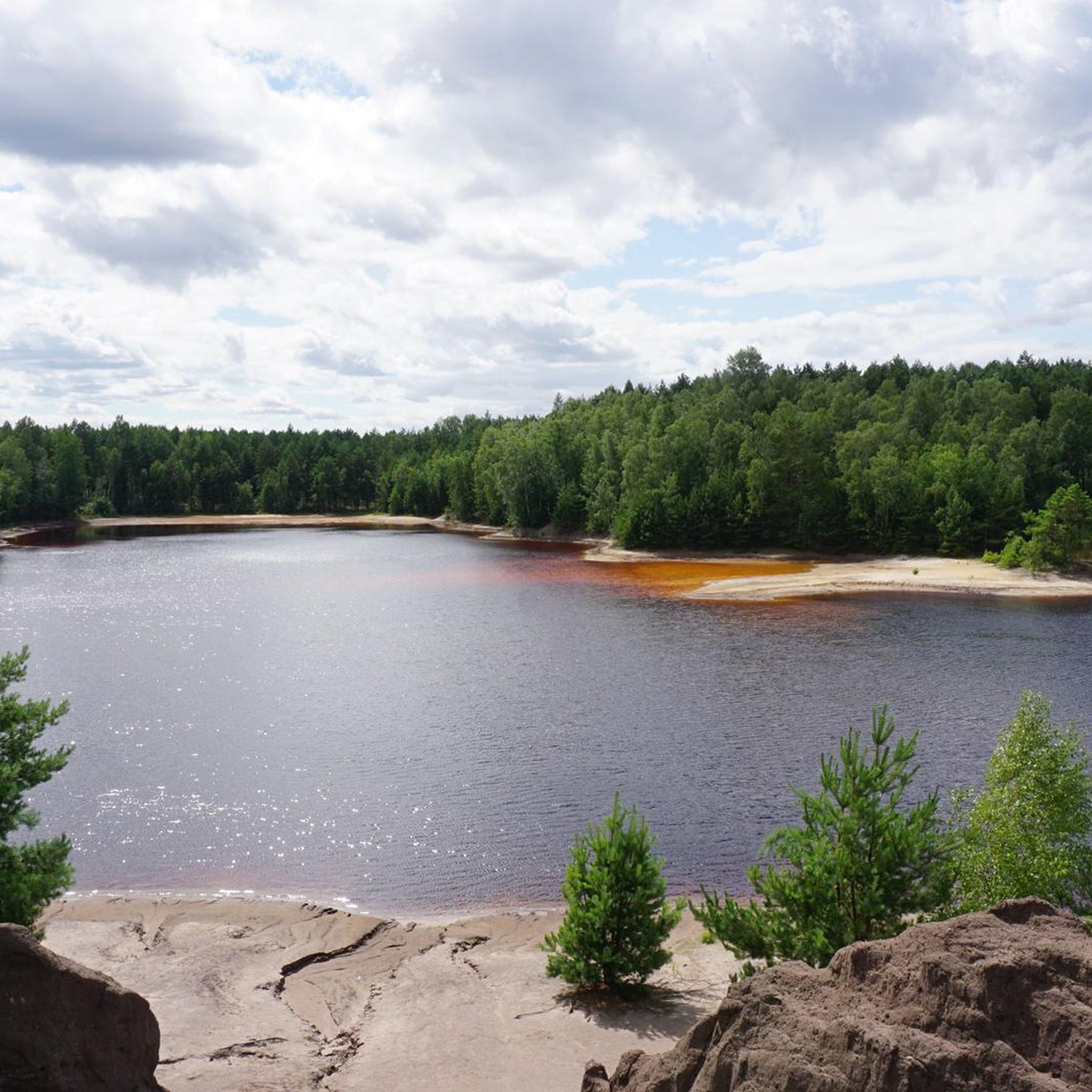
On the 162.8 m high Drachenberg you can enter your name in a summit book. How did the Drachenberg get its name? A legend tells that God created Lusatia and the devil put the coal on it. A dragon that settled here was supposed to protect the coal from humans. When humans began to mine the valuable raw material, dragon's blood seeped out of the dragon lying in the earth - known to us as red water. Little by little the kite dried up in the area between Krauschwitz and Weißwasser and left a large pool of blood: the brown pond. The back can still be seen today, because the many gies and elevations mark the peaks on the dragon's back. The largest of them is the Drachenberg. https://www.lr-online.de/lausitz/weisswasser/wie-der-drachenberg-zu-seinem-namen-kam-33304006.html
9
0
Frequently Asked Questions
What kind of 'mountain peaks' can I expect to find around Bad Muskau?
The Bad Muskau region is characterized by an idyllic rolling landscape rather than towering mountains. The 'peaks' are elevated areas and hills, many of which are integral to the design of the UNESCO World Heritage Muskau Park. These spots offer picturesque views and are significant for their landscape artistry, providing key viewing points over the surrounding area.
Which are the most notable elevated points or 'peaks' in the Bad Muskau area?
Among the most popular elevated points are Drachenberge, the largest at 162.8 meters, where you can find a summit book. Other significant spots include the Vineyard near Weißwasser, known for its historical connection to Prince Pückler's family, and the Lissberg – The Mountain Where the Fox Lives, which is popular for family-friendly hikes.
Are there any 'peaks' or elevated areas with historical significance?
Yes, several elevated points have historical ties. The Vineyard near Weißwasser is notable as Prince Pückler's grandfather cultivated wine there. Additionally, the Drachenberge has a local legend about a dragon protecting coal, which explains its name and the 'red water' in the area.
Where can I find the best panoramic views in Bad Muskau?
For excellent panoramic views, consider visiting the Eichberg within Muskau Park, which features a panoramic pavilion. The Pückler Stone, located high above the Neisse River, also offers one of the most beautiful views in the park. Additionally, the viewing platform in the New Castle Tower provides extensive vistas of the park and its surroundings.
Are there family-friendly elevated areas or trails around Bad Muskau?
Absolutely. The Lissberg – The Mountain Where the Fox Lives is specifically highlighted as a family-friendly summit and viewpoint. Hiking on the Lissberg, which is 154 meters above sea level, offers routes through the Wolfsschlucht, making it suitable for families.
What kind of outdoor activities can I do near these elevated points?
The region around Bad Muskau offers a variety of outdoor activities. You can explore numerous hiking trails, including easy options, or enjoy cycling and mountain biking. For detailed routes, you can check out guides like Easy hikes around Bad Muskau, Cycling around Bad Muskau, and MTB Trails around Bad Muskau.
What is the best time of year to visit the elevated points and parks in Bad Muskau?
The Muskau Park and its elevated points are beautiful throughout the year. Spring offers blooming flora, while summer provides lush greenery. Autumn is particularly scenic with changing leaf colors, especially in areas like the deciduous forest near Spitzer Berg. The heathland near Spitzer Berg also blooms from August to early September.
Are there any 'peaks' that are particularly challenging to reach?
While most elevated points in Bad Muskau are part of a rolling landscape, some, like Spitzer Berg, are categorized as 'challenging' to reach, especially by bike, suggesting a more rugged terrain. However, the overall difficulty for hiking is generally moderate.
What unique natural features can be found near the elevated points?
Near the Vineyard near Weißwasser, you'll find the Weinbergsee, a natural body of water. The Eichberg in Muskau Park features the Eichsee lake with a small waterfall at its eastern base. The Spitzer Berg is surrounded by a beautiful deciduous forest and a large heathland area.
What is the significance of Muskau Park in relation to these elevated points?
Muskau Park, a UNESCO World Heritage site, is a masterpiece of European landscape architecture. The elevated points within and around Bad Muskau are not just natural features but are skillfully utilized by Prince Pückler in his landscape design. They offer carefully curated vistas and contribute significantly to the aesthetic appeal and harmonious environment of the park, which is often described as a 'painting with plants'.
Can I find information about the geology or topography of the Bad Muskau region?
The region's topography is defined by an idyllic rolling landscape with significant elevated areas, rather than traditional mountain ranges. These features are part of the broader Muskau Arch Geopark, known for its unique geological formations. The elevated points like the Berg district highlight the natural undulations of the terrain.
What are some of the highest points in the Spree-Neisse district near Bad Muskau?
Two of the highest elevations in the Spree-Neisse district are Marienberg (178 m) and Spitzer Berg (155 m). While they offer height, their summits are often forested without open views, providing a different kind of natural experience.
Most popular routes around Bad Muskau
Most popular attractions around Bad Muskau

Get inspired with the komoot mobile app


Explore more
See even more amazing summits around Bad Muskau with these guides:
