The 3 Most Amazing Peaks around Warberg
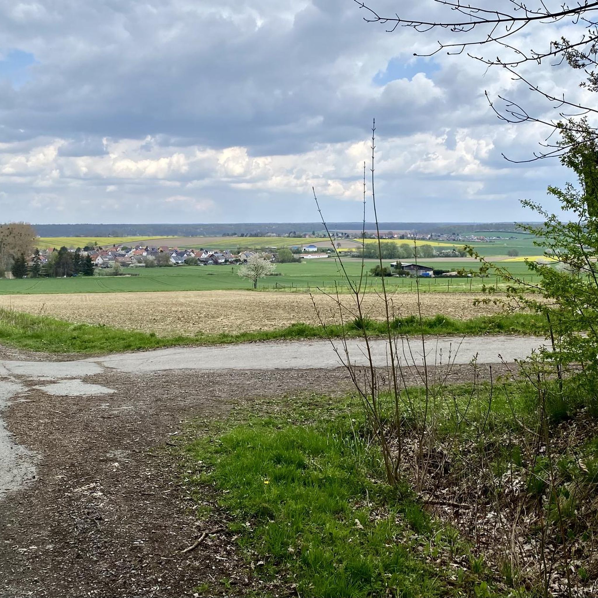
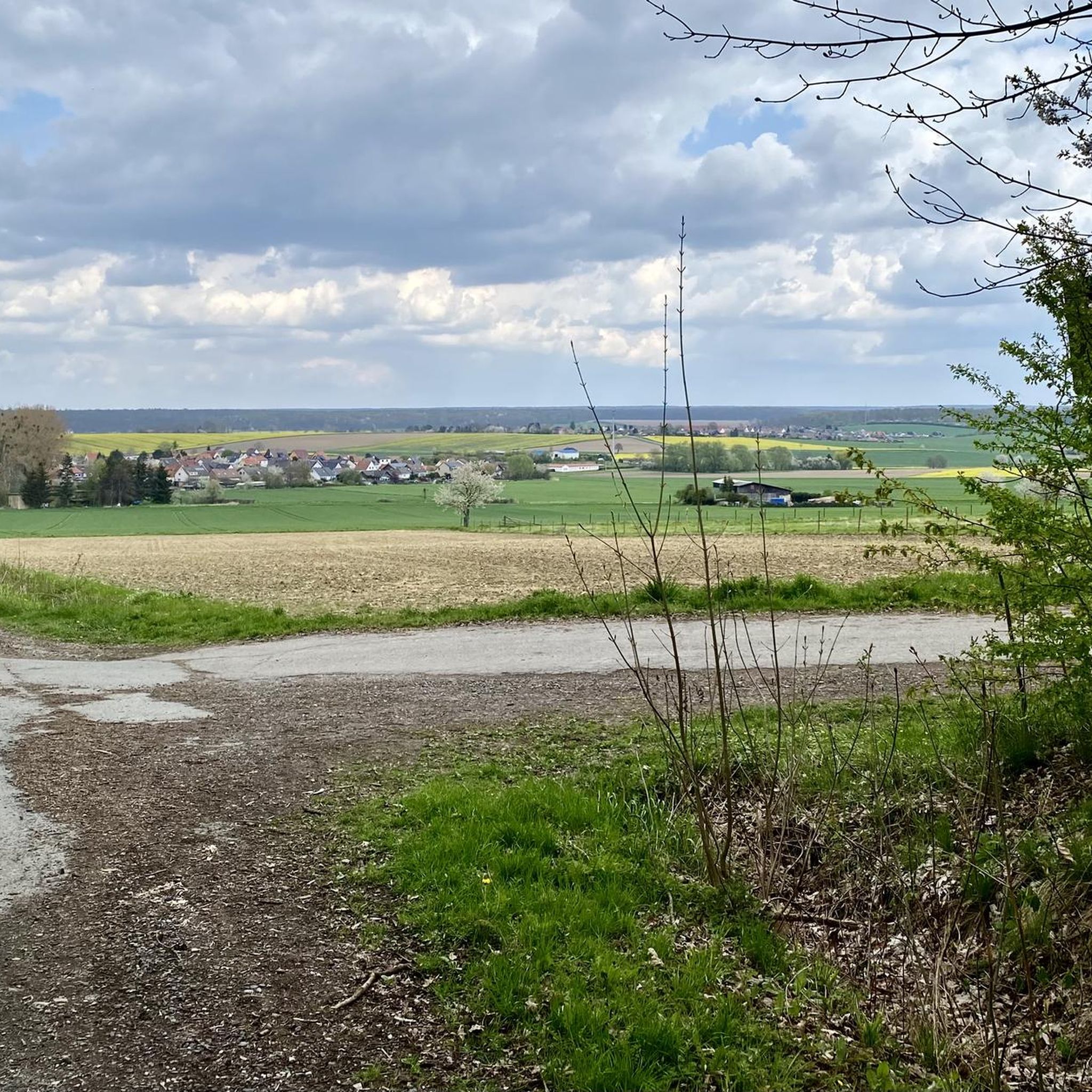
Best mountain peaks around Warberg are situated in a region defined by rolling hills and notable elevated points, offering diverse natural beauty. This area provides numerous hiking routes through picturesque valleys and to scenic viewpoints. Visitors can explore a variety of natural features, including significant elevations and forested areas. The landscape around Warberg is ideal for outdoor exploration and panoramic views.
Best mountain peaks around Warberg
- The most popular mountain peaks is Heidberg – Highest Natural Elevation in Börde District…
Last updated: August 21, 2026
Drachenberg Transmitter
Highlight • Monument
Translated by Google •
Tip by

Rest Area at Honigkuchengrund
Highlight • Rest Area
Translated by Google •
Tip by

Sign up now to discover places like this
Get recommendations on the best single tracks, peaks, & plenty of other exciting outdoor places.
Sign up for free
Kiefelhorn
Highlight • Summit
Translated by Google •
Tip by

Fuchsberg Communications Tower
Highlight • Monument
Showing Translation
Tip by

Heidberg – Highest Natural Elevation in Börde District
Highlight • Summit
Translated by Google •
Tip by
Start today with a free account
Your next adventure awaits.
Login or Signup
Tips from the Community

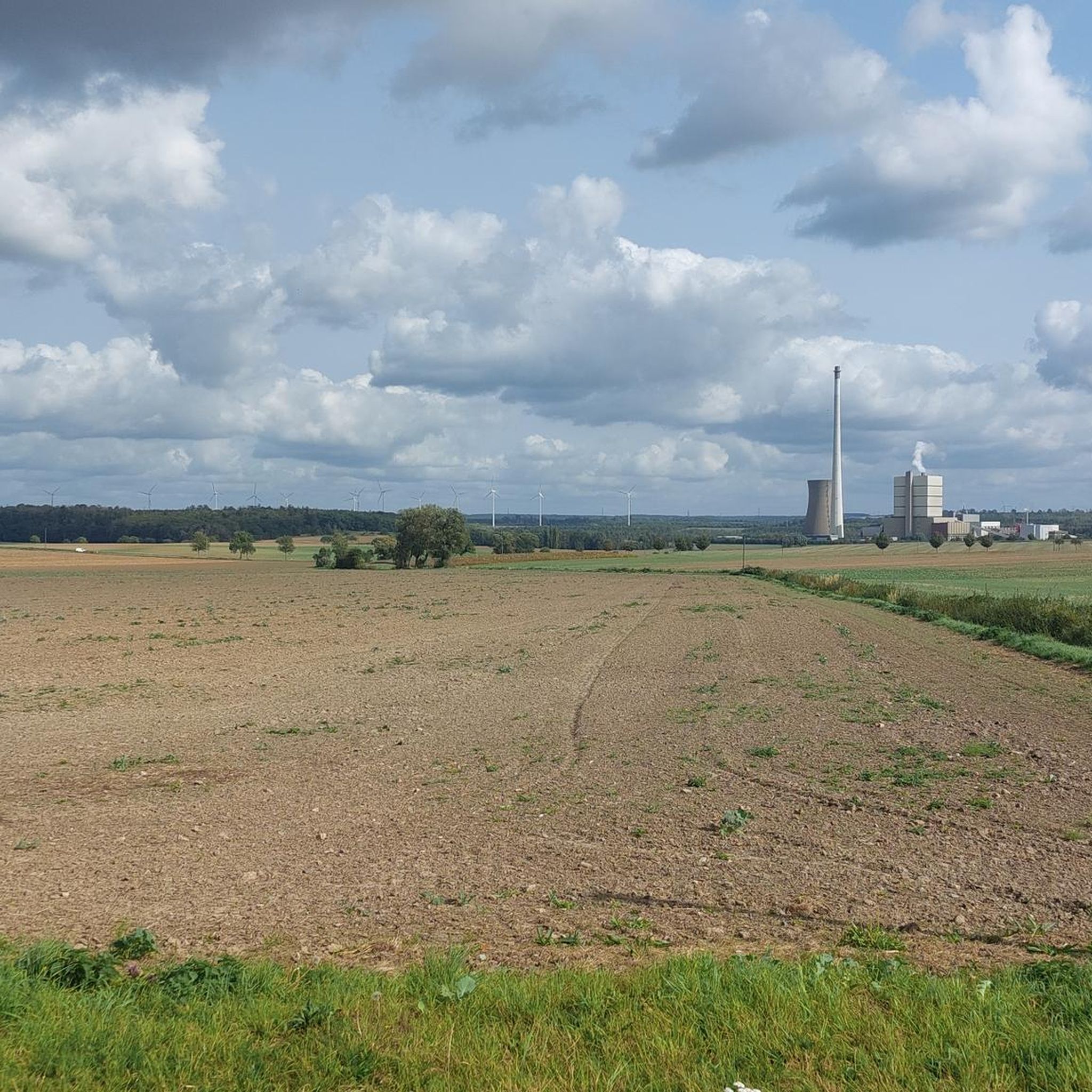
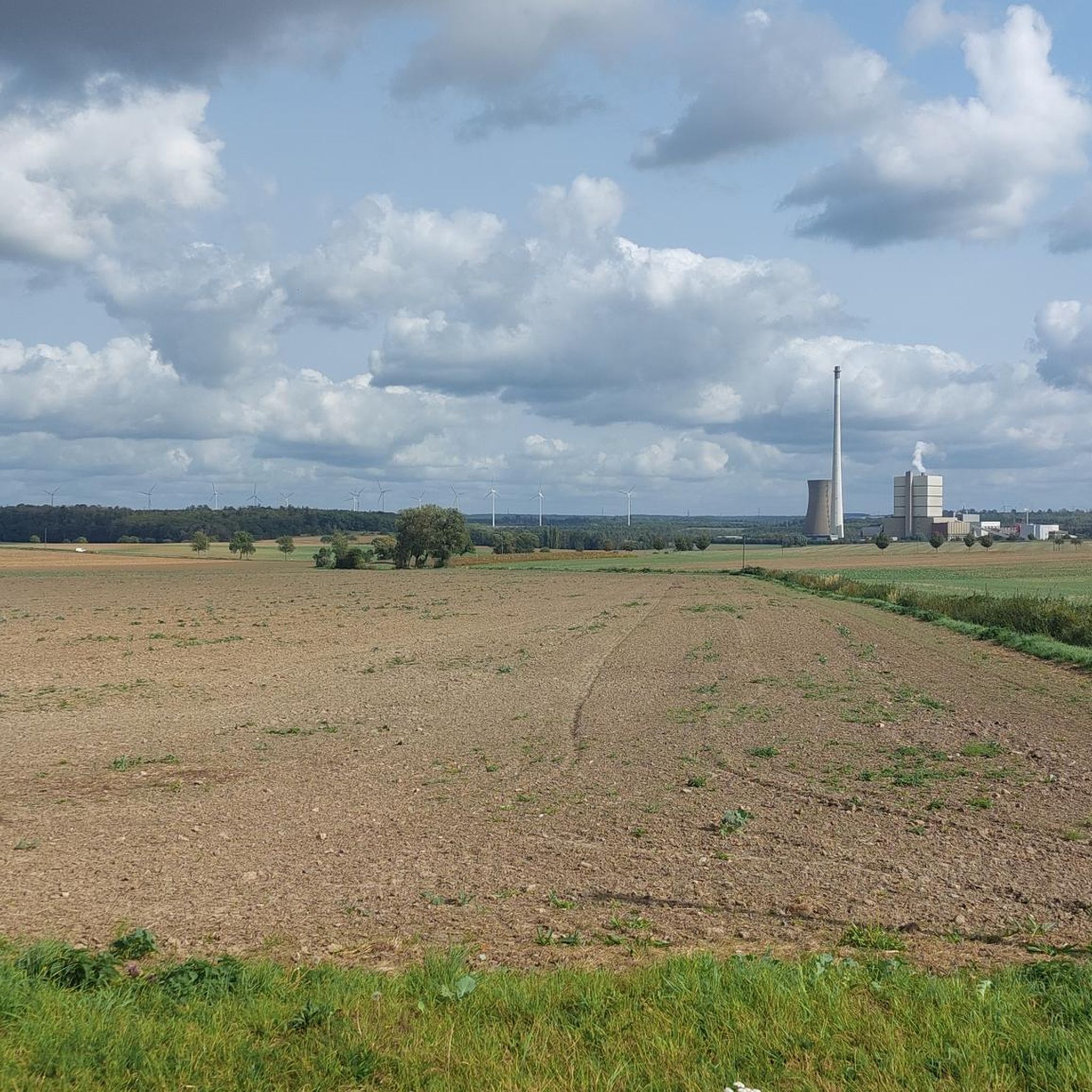
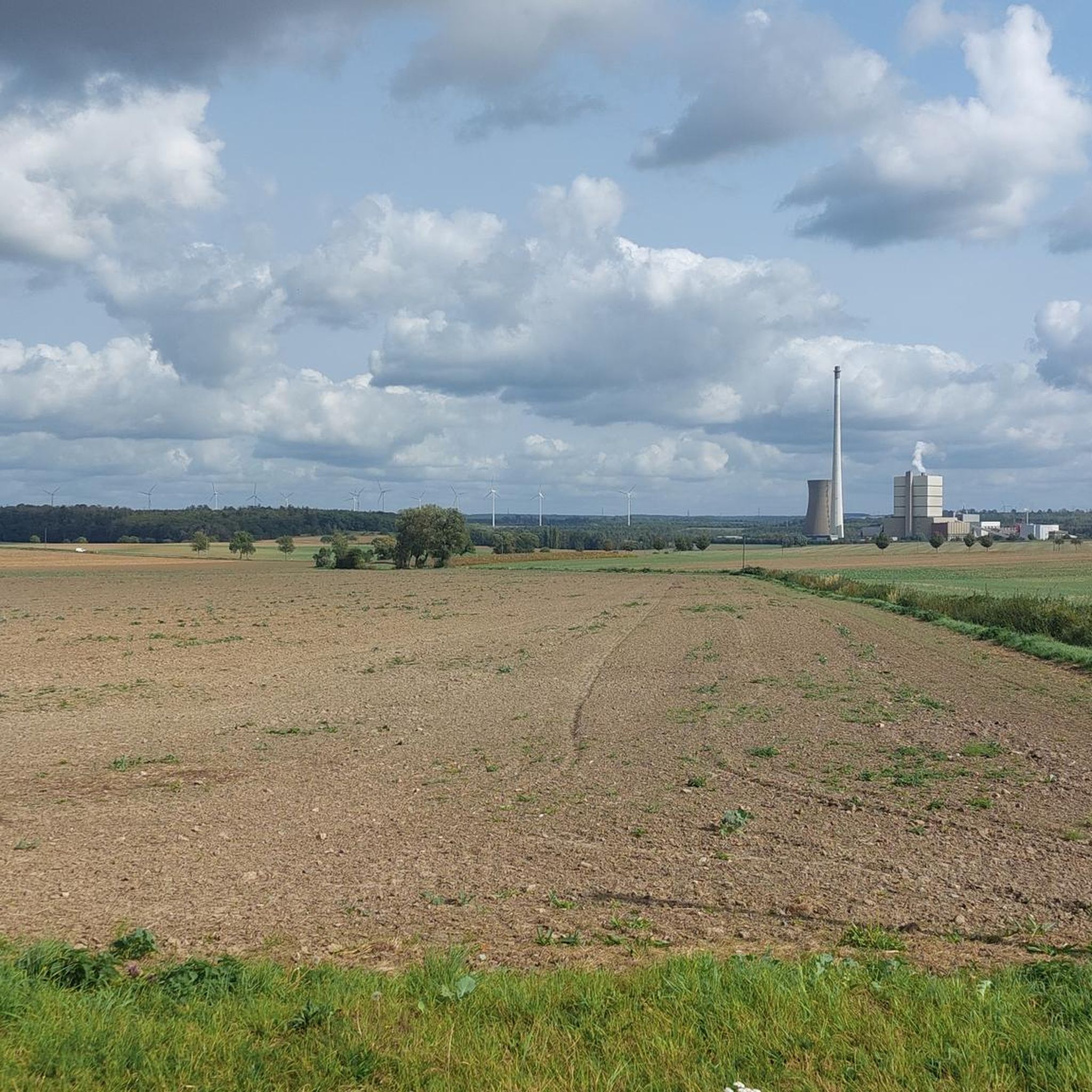
The tower rises above the surrounding forests and is clearly visible from afar. Even though it is not accessible, it is worth a short stop in the area to enjoy the view of the hilly landscape and to perceive this technical contrast to the natural surroundings.
6
0

Beautiful in the middle of nowhere
1
0
Ideal for resting. Beautiful.
0
0

As a sweet treat lover, I can’t help but draw a delicious parallel between the nostalgic vibes of Wegweiser Honigkuchengrund and the https://pacman30thanniversary.io game. Both evoke a sense of fun and tradition! Is anyone else finding new ways to enjoy honey cakes while playing classic arcade games? It’s a delightful mix that brings joy to our taste buds and gaming experiences alike!
0
0

Nice and good rest area.
7
1

The rest area is near the Hainholz adventure quarry. A nice place to stay.
1
0

One of my favorite rest areas in the Elm. Just sit there, enjoy the peace - the trees rustle and you're on your own (so mostly).
1
0

The recreation area with benches and table on the honey cake floor invites you to linger.
1
0
Frequently Asked Questions
What are the most popular elevated points and peaks around Warberg?
The region around Warberg features several popular elevated points. Among them, Heidberg – Highest Natural Elevation in Börde District is highly regarded as the highest point in the Bördekreis, complete with a summit cross and a rest area. Another notable spot is Drachenberg Transmitter, a man-made monument and summit offering trails leading downhill in various directions. Visitors also appreciate the Rest Area at Honigkuchengrund, which serves as a well-appointed viewpoint and facility.
Are there family-friendly elevated points or trails near Warberg?
Yes, there are family-friendly options. The Heidberg – Highest Natural Elevation in Börde District is considered family-friendly, offering a nicely laid out rest area and information board. Additionally, the Rest Area at Honigkuchengrund provides a comfortable spot with benches and a table, suitable for families to take a break amidst the forest trails.
What kind of natural features can I expect to see around Warberg's peaks?
The Warberg region is characterized by rolling hills and diverse natural beauty. You'll find extensive woodlands, especially around points like Kiefelhorn and Heidberg. The area also features picturesque valleys and offers panoramic views from various elevated points. The landscape transforms with the seasons, providing a constantly changing tapestry of colors and textures, particularly in the Egge Mountains.
What outdoor activities can I do near the elevated points around Warberg?
The region around Warberg is excellent for outdoor activities, especially hiking and road cycling. You can explore numerous hiking routes, from easy to difficult, through picturesque valleys and to scenic viewpoints. For detailed hiking options, check out the Hiking around Warberg guide or the Easy hikes around Warberg guide. Road cycling enthusiasts can find routes in the Road Cycling Routes around Warberg guide.
Are there any historical or cultural sites near Warberg's elevated points?
While the komoot highlights focus on natural and man-made elevated points, the broader region around Warburg (Germany) does have historical significance. For instance, the Desenberg, a volcanic cone near Warburg, features a ruined castle on its summit. Hiking trails in the area, such as the GPS adventure trail 'Window into the Past,' can lead to historic watchtowers, offering insights into the region's past.
What do visitors enjoy most about the elevated points around Warberg?
Visitors particularly enjoy the scenic views and the peaceful atmosphere. Many appreciate the well-maintained rest areas, such as the one at Honigkuchengrund, which offers comfortable benches and tables for a break. The sense of accomplishment from reaching summits like Heidberg, which marks the highest point in the Bördekreis, is also a highlight for many.
Are there easy hiking trails to reach the elevated points around Warberg?
Yes, there are easy hiking trails available. For example, the Easy hikes around Warberg guide lists several routes, including 'Old Castle Warberg – Plan of Warberg in Elm loop from Warberg' and 'Warberg Castle – Warberg Castle loop from Warberg,' which are rated as easy. These trails allow for accessible exploration of the region's elevated terrain.
Can I find viewpoints with panoramic scenery near Warberg?
Absolutely. Many of the elevated points around Warberg double as excellent viewpoints. The Heidberg – Highest Natural Elevation in Börde District and Rest Area at Honigkuchengrund are specifically noted for their views. The region's rolling hills naturally provide numerous spots to take in the expansive landscape, including the Warburg Börde.
What is the highest natural elevation in the Börde District near Warberg?
The highest natural elevation in the Börde District is Heidberg – Highest Natural Elevation in Börde District. It stands at 211 meters and features a summit cross, a well-designed rest area, and an information board for visitors.
Is there a communication tower that also serves as an elevated point?
Yes, the Elm Communication Tower (Highest Point) is an elevated point that also functions as a man-made monument. It's considered the highest point in the Elm area and offers a short detour for those exploring the region.
Are there any huts or shelters near the elevated points?
Yes, near the Drachenberg Transmitter, there is a Schutzhut hut located nearby. This can provide a convenient shelter or resting spot for hikers in the area.
What is the Kiefelhorn and what can I expect when visiting it?
The Kiefelhorn is a summit and viewpoint located within a forest. Starting from the hiking car park in the Reitlingstal, you'll reach it after a steady climb. Once at the Kiefelhorn, the terrain flattens, and you can continue your hike in various directions, including circular paths or towards Drachenberg.
Most popular routes around Warberg
Most popular attractions around Warberg

Get inspired with the komoot mobile app


Explore more
See even more amazing summits around Warberg with these guides:
