The 6 Most Amazing Peaks around Wriedel
Best mountain peaks around Wriedel are characterized by the modest elevations of the Lüneburg Heath, a region known for its heathland landscape. The topography primarily consists of hills and rises, with the highest point, Westberg, reaching 105.5 meters. These elevations contribute to the scenic character of the area, offering opportunities for outdoor activities. The region around Wriedel features various hiking trails, where these hills provide varied terrain and pleasant viewpoints.
Best mountain peaks around Wriedel
- The most popular mountain peaks…
Last updated: June 27, 2026
Faßberg Summit Cross
Highlight • Summit
Translated by Google •
Tip by

Gauss Monument on the Haußelberg
Highlight • Monument
Translated by Google •
Tip by

Sign up now to discover places like this
Get recommendations on the best single tracks, peaks, & plenty of other exciting outdoor places.
Sign up for free
Fassberg Summit Cross
Highlight • Summit
Translated by Google •
Tip by

Thonhopsberg Summit
Highlight • Summit
Translated by Google •
Tip by

Start today with a free account
Your next adventure awaits.
Login or Signup
Tips from the Community

Next to the Wilseder Berg, another survey point stands here on the Hausselberg in memory of Carl-Friedrich Gauß
1
0

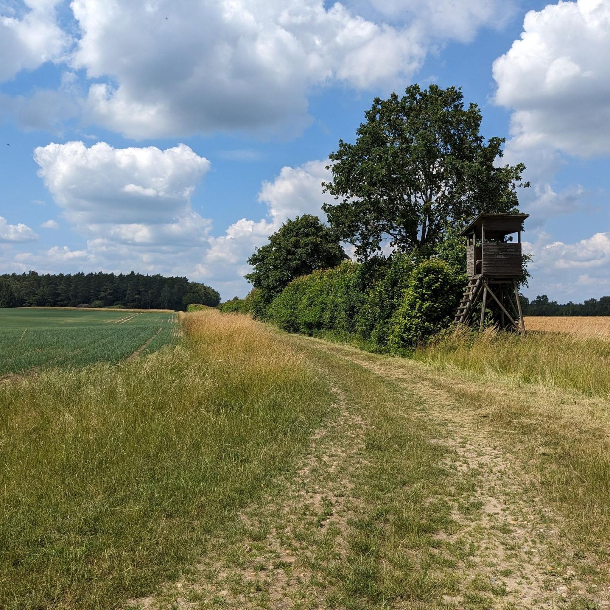
The summit cross on the Faßberg (94 m above sea level) in the Schmarbeck juniper forest is an ideal destination for cyclists. The route leads along well-developed cycle paths through open heathland and shady forests directly to the cross. Whether for a short ride or a longer tour through the Lüneburg Heath, cyclists can enjoy the view and inspect the rustic wooden cross upon reaching the summit cross.
1
0

High above the heath 94m above sea level
1
0

The summit cross stands here on the mountain which is 94m high and you can sign the summit book.
2
0

Reconstructed Gaußstein on the Heidschnuckenweg
1
0
A surveying point for land surveying. The stone was erected here as a memorial to it.
1
0

There is also a challenge for ambitious hikers.
0
0

At an altitude of 94m above sea level, which is insane for this area, you can document your heroic achievement, namely the ascent from the valley, in a summit book kept for this purpose, provided the weather conditions, which are not uncommon in this extreme location, allow it.
2
0
Frequently Asked Questions
What are the most notable elevations around Wriedel?
While Wriedel is characterized by modest hills rather than towering mountains, the region offers several notable elevations. The highest point is Westberg at 105.5 meters. Other significant hills include Sultberge (102 meters), Schiffberg (101 meters), and Pracherberg (100 meters). These hills contribute to the scenic character of the Lüneburg Heath, providing varied terrain for outdoor activities.
Are there any historical sites or monuments on the peaks near Wriedel?
Yes, you can visit the Gauss Monument on the Haußelberg. This man-made monument commemorates Mr. Gauss's use of the 117-meter-high 'summit' for land surveying in 1820. It combines a summit view with a heath landscape and offers a glimpse into the region's history.
Which peaks offer the best views of the Lüneburg Heath?
For excellent views, consider the Faßberg Summit Cross. This location offers a great view and majestically towers over the surrounding heathland by at least 20 meters, providing maximum heath enjoyment. The Gauss Monument on the Haußelberg also provides a beautiful summit view combined with the heath landscape.
Are there family-friendly walks to the peaks around Wriedel?
Yes, the Faßberg Summit Cross is categorized as family-friendly, making it a suitable destination for walks with children. The modest elevations in the Wriedel area generally offer pleasant and accessible trails for families to enjoy the natural beauty of the Lüneburg Heath.
What kind of terrain can I expect when hiking the peaks near Wriedel?
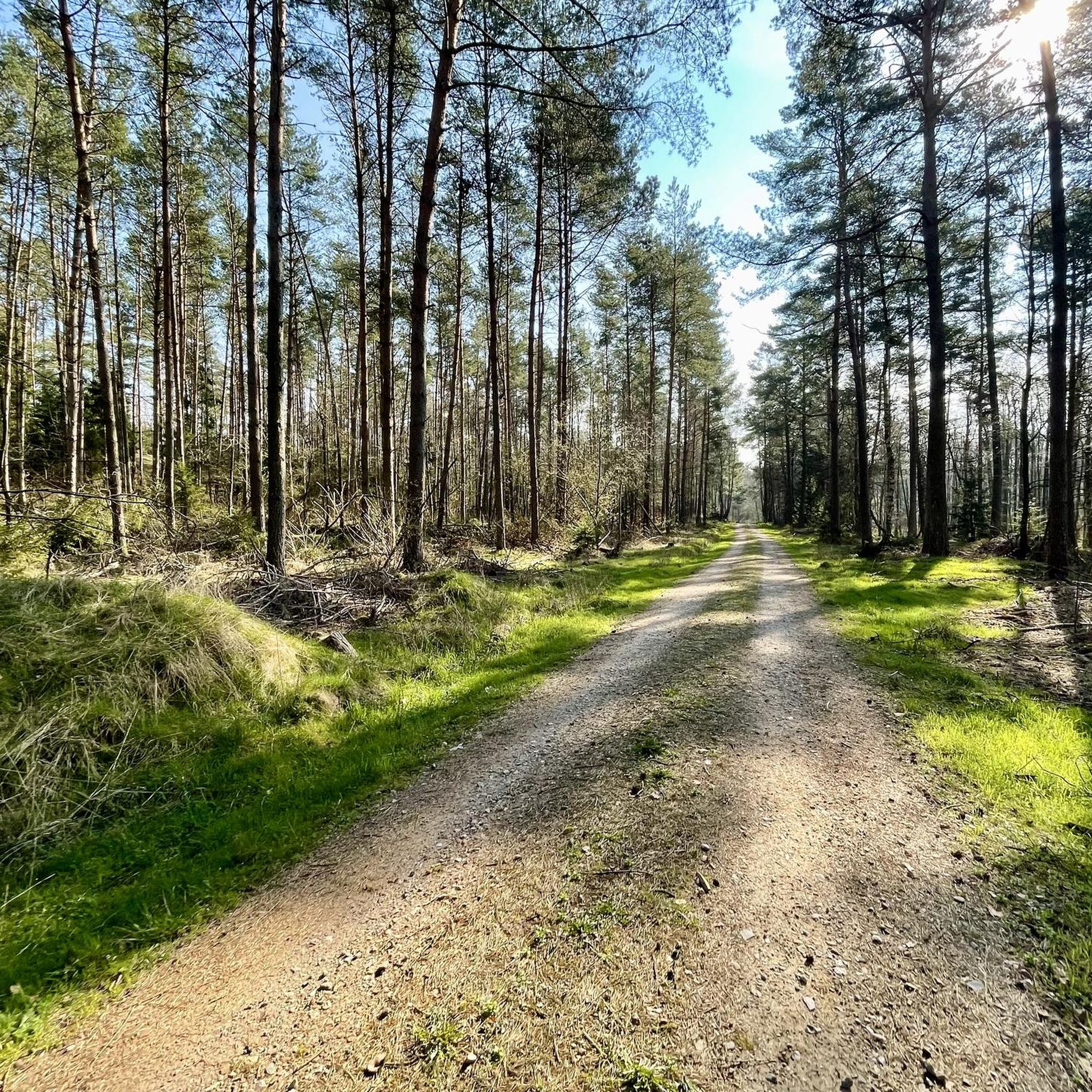
The terrain around Wriedel's peaks is generally characterized by heathland with modest elevations. While not mountainous in the traditional sense, some hills like the Thonhopsberg Summit offer a relatively steep ascent and descent by northern German standards, with paths that can be uneven with stones and gravel. Overall, you can expect varied terrain suitable for hiking and exploring.
What outdoor activities can I do near these mountain peaks?
The Wriedel area is excellent for various outdoor activities. Besides hiking the modest peaks, you can explore numerous cycling routes. For road cycling, check out the Road Cycling Routes around Wriedel, which include easy loops like the Wriedel–Arendorf Cycle Path. For touring bicycles, the Cycling around Wriedel guide offers routes such as the easy Bus Shelter – Cycle path near Brockhöfe station loop.
Are there easy hiking trails around Wriedel's peaks?
Yes, the region offers several easy hiking trails. You can find options like the Ostermoor Ponds – Baumgarten Arboretum Lopau loop or the Abandoned Village of Lopau – Lopau Valley Nature Trail loop. These are part of the Easy hikes around Wriedel guide, providing accessible ways to enjoy the heathland scenery.
What do visitors enjoy most about the peaks around Wriedel?
Visitors particularly appreciate the unique combination of modest 'summits' with the expansive heathland scenery. The opportunity for a 'small climb in otherwise very flat terrain' at places like the Thonhopsberg Summit, along with the great views and 'maximum heath enjoyment' from spots like the Faßberg Summit Cross, are frequently highlighted. The historical significance of the Gauss Monument on the Haußelberg also adds to the appeal.
Can I find a 'summit' with a summit stone in the Wriedel area?
Yes, the Thonhopsberg Summit, standing at 103 meters above sea level, features a summit stone. It's a charming detail that marks this 'mountain' and offers a unique point of interest in the otherwise flat landscape.
What is the highest point in the immediate Wriedel area?
The highest point directly within the Wriedel municipality is Westberg, reaching an elevation of 105.5 meters. While not a towering mountain, it is the highest 'Anhöhe' or hill in the local topography.
Are there any specific tips for visiting the Faßberg Summit Cross?
When visiting the Faßberg Summit Cross, be prepared for a great view and maximum heath enjoyment. It's noted for majestically towering over the surrounding heathland. Visitors also advise being careful when descending from the summit.
What kind of natural monuments can be found on the peaks?
Several peaks around Wriedel are designated as natural monuments. Both the Gauss Monument on the Haußelberg and the Faßberg Summit Cross are recognized as natural monuments, highlighting their ecological or geological significance within the Lüneburg Heath.
Most popular routes around Wriedel
Most popular attractions around Wriedel

Get inspired with the komoot mobile app


Explore more
See even more amazing summits around Wriedel with these guides:
