The 7 Most Amazing Peaks around Remptendorf
Mountain peaks around Remptendorf are located in the Saale-Orla-Kreis district of Thuringia, Germany. The municipality itself sits at an elevation of 490 meters. This region is characterized by its general elevation within the Thuringian Slate Mountains/Upper Saale Nature Park, rather than prominent, towering peaks. The landscape offers distinct summits and viewpoints for exploration.
Best mountain peaks around Remptendorf
- The most popular mountain peaks is Wetzstein Summit and Former Radar Station, a summit that was once a radar station for…
Last updated: June 27, 2026
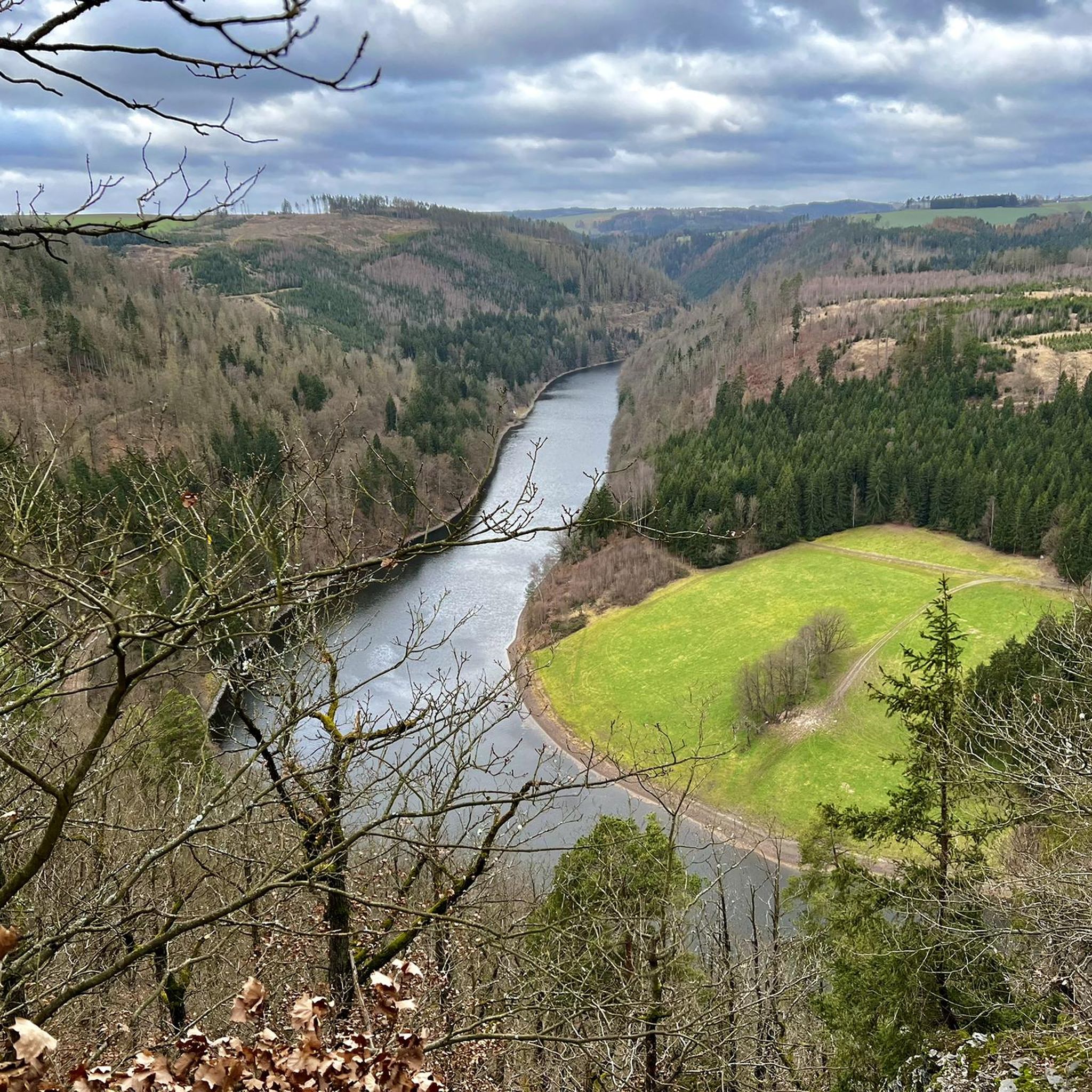
Presswitzer Spitze at Hohenwarte Reservoir
Highlight • Viewpoint
Translated by Google •
Tip by

Wetzstein Summit and Former Radar Station
Highlight • Summit
Translated by Google •
Tip by

Sign up now to discover places like this
Get recommendations on the best single tracks, peaks, & plenty of other exciting outdoor places.
Sign up for free
Pfitzigberg (514 m)
Highlight • Summit
Translated by Google •
Tip by

Elevation point 550 m Thuringia – Seeblick Trail
Highlight (Segment) • Summit
Translated by Google •
Tip by

Vogelherd (565 m)
Highlight • Summit
Translated by Google •
Tip by

Sign up for free to discover even more peaks around Remptendorf.
Sign up for free
Already have an account?
Start today with a free account
Your next adventure awaits.
Login or Signup

Tips from the Community

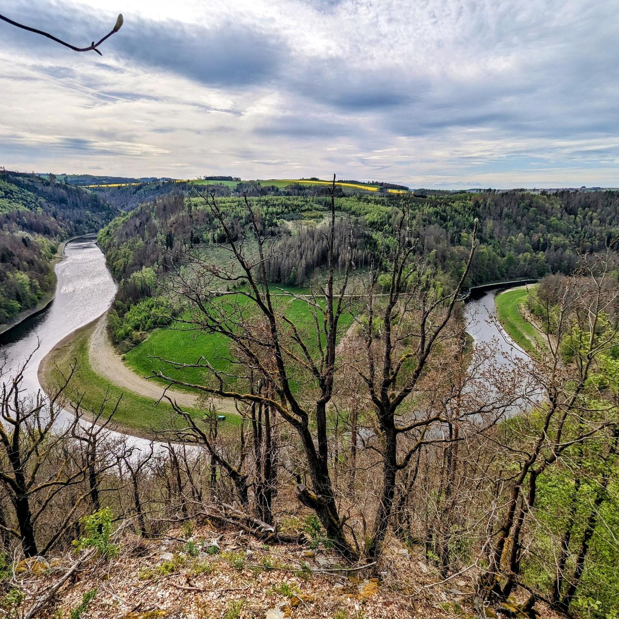
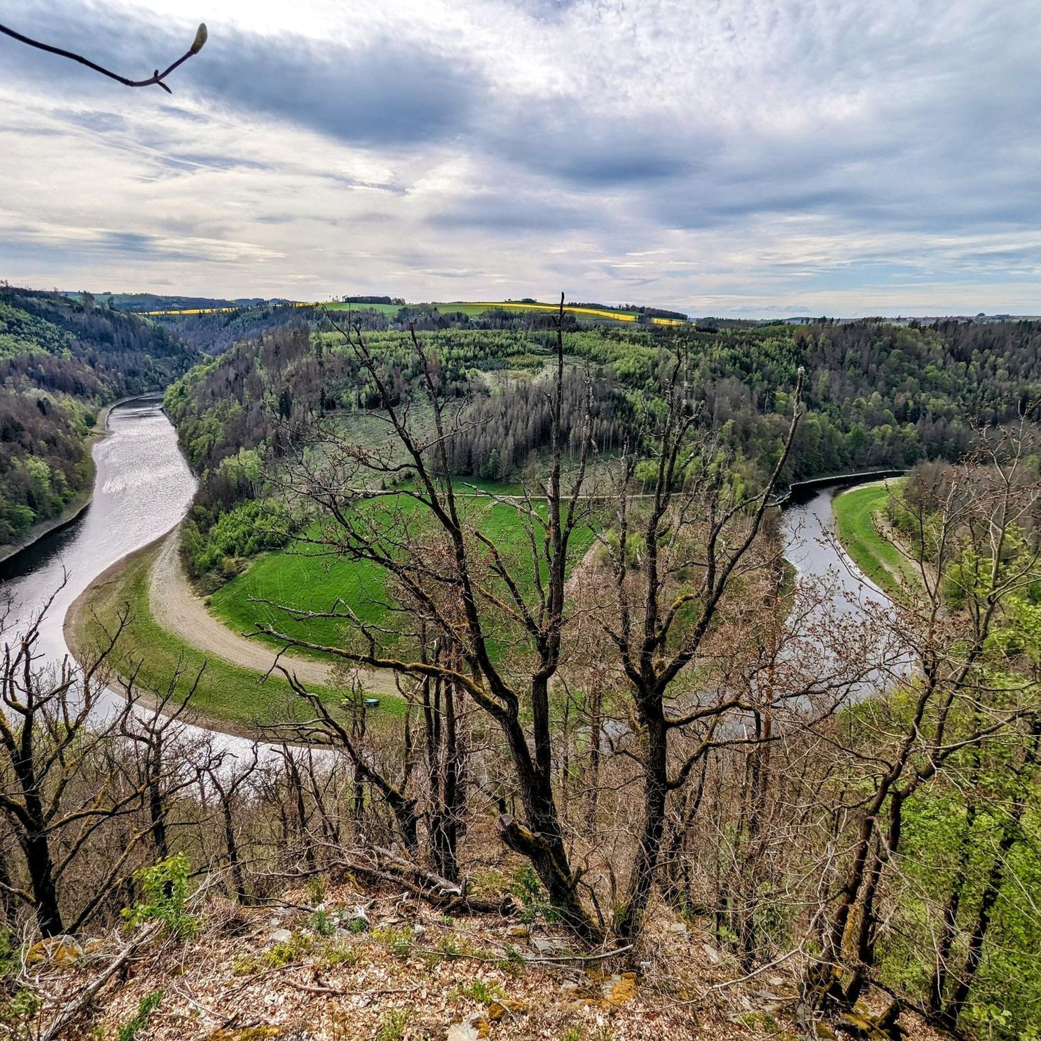
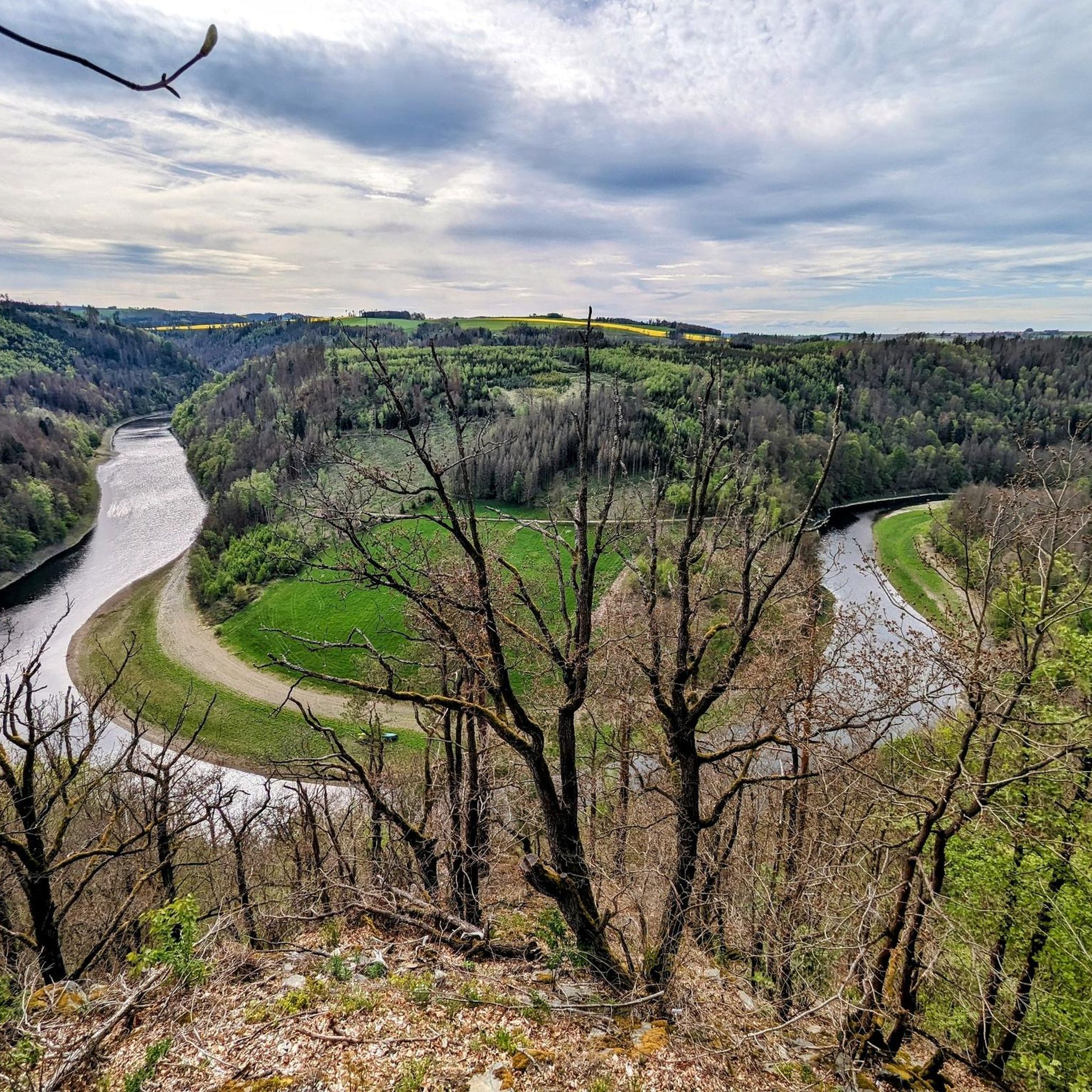
The "Preswitzer Spitze" protrudes wonderfully into the reservoir like a small peninsula and so you have a great view on both sides.
8
0

A mountain with a beautiful view. Nice to hike
3
0

The Pfitzigberg is very well known among the Schleizers. A sledding hill for everyone. That's how it used to be. Now in the computer age, Schlittenberg is no longer known as a fun mountain in winter. It is definitely known among hikers or MTB bikers and is a nice destination. From here you have great views of Oschitz (district of Schleiz) and Schleiz, depending on where you stand on the mountain. The Pfitzig can be seen from afar; there is a high radio mast on top of it.
5
0

Was used militarily in GDR times for flight surveillance. Some legacies are still there, e.g. the huge garage doors.
2
0

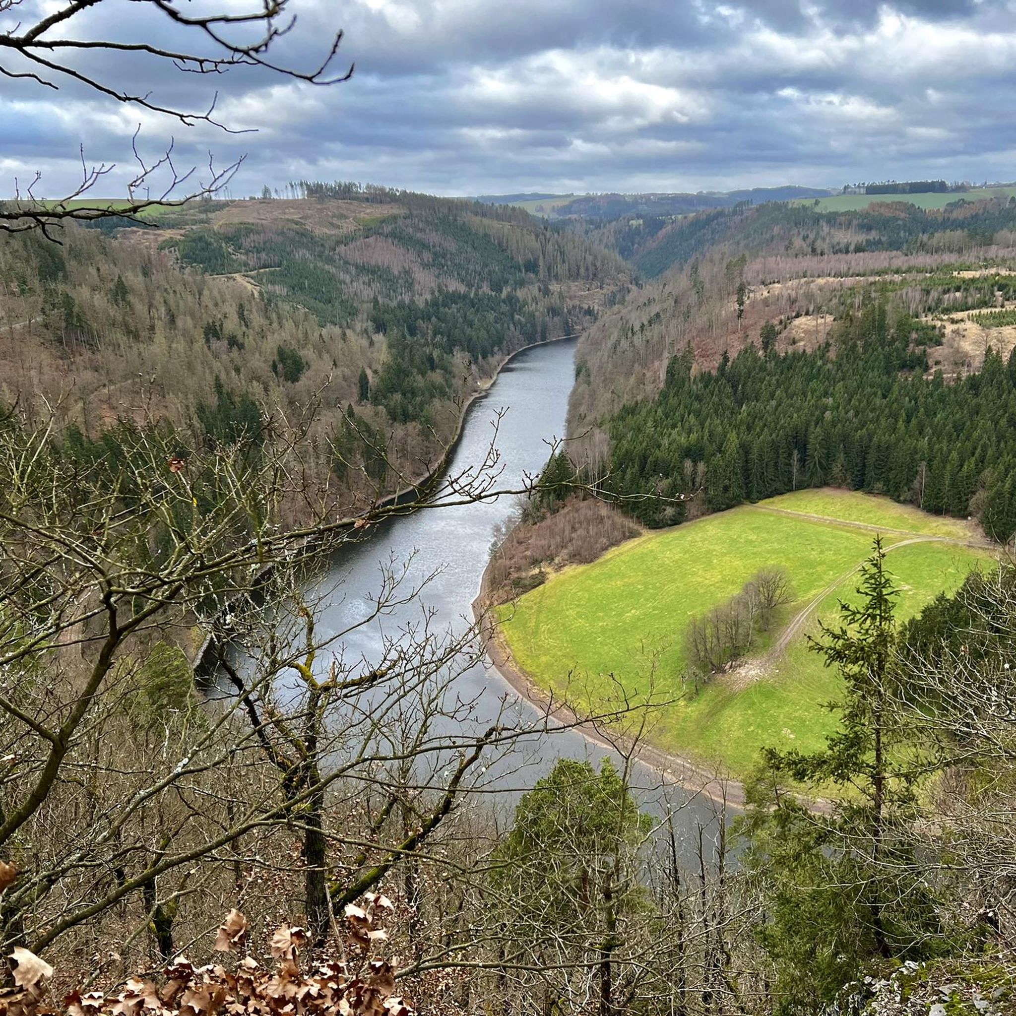
A slightly different perspective thanks to the drainage of the reservoir basin
3
0

for the record: the highest point (Vogelherd). In the middle of the woods. Forest and path are very beautiful. From time to time you have a view of Kaulsdorf. however, you should not waste your time and continue hiking to the real panorama highlights as quickly as possible.
0
0

This is where you come by as part of the HINTERINDIEN.DE tour No. 12.
1
1

Very nice place at the dam Nice view and crystal clear water
4
0
Frequently Asked Questions
What are some notable mountain peaks to explore around Remptendorf?
The region around Remptendorf, part of the Thuringian Slate Mountains/Upper Saale Nature Park, offers several elevated points. Among them, the Wetzstein Summit and Former Radar Station is the highest in eastern Thuringia at 792 meters. Other popular spots include Pfitzigberg (514 m), known for its beautiful views, and the challenging Elevation point 550 m Thuringia – Seeblick Trail.
Are there any mountain peaks with historical significance near Remptendorf?
Yes, the Wetzstein Summit and Former Radar Station holds significant historical value. This summit, the highest in eastern Thuringia, was once a radar station for the National People's Army (NVA) of the GDR, part of the Warsaw Pact's air surveillance system. Remains of the station, such as large garage doors and ventilation pipes, can still be seen today.
Which mountain peaks offer the best panoramic views in the Remptendorf area?
For panoramic views, Pfitzigberg (514 m) provides great vistas of Oschitz and Schleiz. The Piffelsberg also offers a wide panoramic view, where you can see the Altvaterturm tower to the west, Eliasbrunn and Heinersdorf to the east, and Wurzbach in the valley to the south.
Are there family-friendly mountain peaks or trails suitable for children around Remptendorf?
While specific family-friendly trails directly to the summits aren't detailed for all peaks, Pfitzigberg (514 m) is mentioned in local tips as having been a popular sledding hill in winter, suggesting its accessibility and suitability for families. When planning, always check the current conditions and trail difficulty.
What kind of outdoor activities can I do near the mountain peaks around Remptendorf?
Beyond hiking to the peaks, the Remptendorf area is excellent for various outdoor activities. You can find numerous routes for MTB trails, gravel biking, and cycling. These guides offer routes like the 'Bleiloch Dam – Bridge of Peace loop' or the 'Mooshäuschen Viewpoint loop from Ziegenrück'.
Are there challenging trails for experienced hikers near Remptendorf's peaks?
Yes, for experienced hikers, the Elevation point 550 m Thuringia – Seeblick Trail is described as a challenging, long, narrow, and sometimes steep single trail with switchbacks. It leads down to a boat company landing stage and is not recommended for beginners or leisurely family outings.
What is the highest mountain peak in the Remptendorf region?
The highest mountain peak in eastern Thuringia, located near Remptendorf, is the Wetzstein Summit and Former Radar Station, standing at 792 meters.
What natural features characterize the mountain peaks around Remptendorf?
The mountain peaks around Remptendorf are situated within the Thuringian Slate Mountains/Upper Saale Nature Park. The landscape is generally elevated, featuring forested areas, and offers various viewpoints. While not towering, these peaks provide distinct summits and elevated points for exploration, often with views over the surrounding valleys and forests.
What do visitors enjoy most about the mountain peaks around Remptendorf?
Visitors appreciate the diverse views offered by the peaks, from the panoramic vistas of Oschitz and Schleiz from Pfitzigberg to the historical intrigue of the former radar station at Wetzstein Summit. The challenging trails and the opportunity for various outdoor activities like cycling and mountain biking also draw many to the area.
Is there a mountain peak that is mostly forested with occasional views?
Yes, Vogelherd (565 m) is described as the highest point in the middle of the woods. While the forest and path are beautiful, views of Kaulsdorf are occasional. It's suggested to continue hiking to other panorama highlights for more expansive vistas.
Are there any specific tips for hiking the challenging Seeblick Trail?
The Elevation point 550 m Thuringia – Seeblick Trail is a long, narrow, and sometimes steep single trail. It can be quite overgrown in summer, so appropriate clothing is advised. It's not suitable for beginners or leisurely family outings. Be aware of other hikers on the trail, and from the landing stage, you can either continue by boat or face a steep uphill climb back towards Heinrichstein.
Most popular routes around Remptendorf
Most popular attractions around Remptendorf

Get inspired with the komoot mobile app


Explore more
See even more amazing summits around Remptendorf with these guides:
