The 7 Most Amazing Peaks around Schleiz
Mountain peaks around Schleiz, a town in Thuringia, Germany, are characterized by elevated points and hills within the Saale-Orla-Kreis. Schleiz itself is situated at an elevation of 437 meters above sea level. The region features a smooth-hilly landscape, offering accessible high points for outdoor activities. These locations provide panoramic views and opportunities to experience local history and nature.
Best mountain peaks around Schleiz
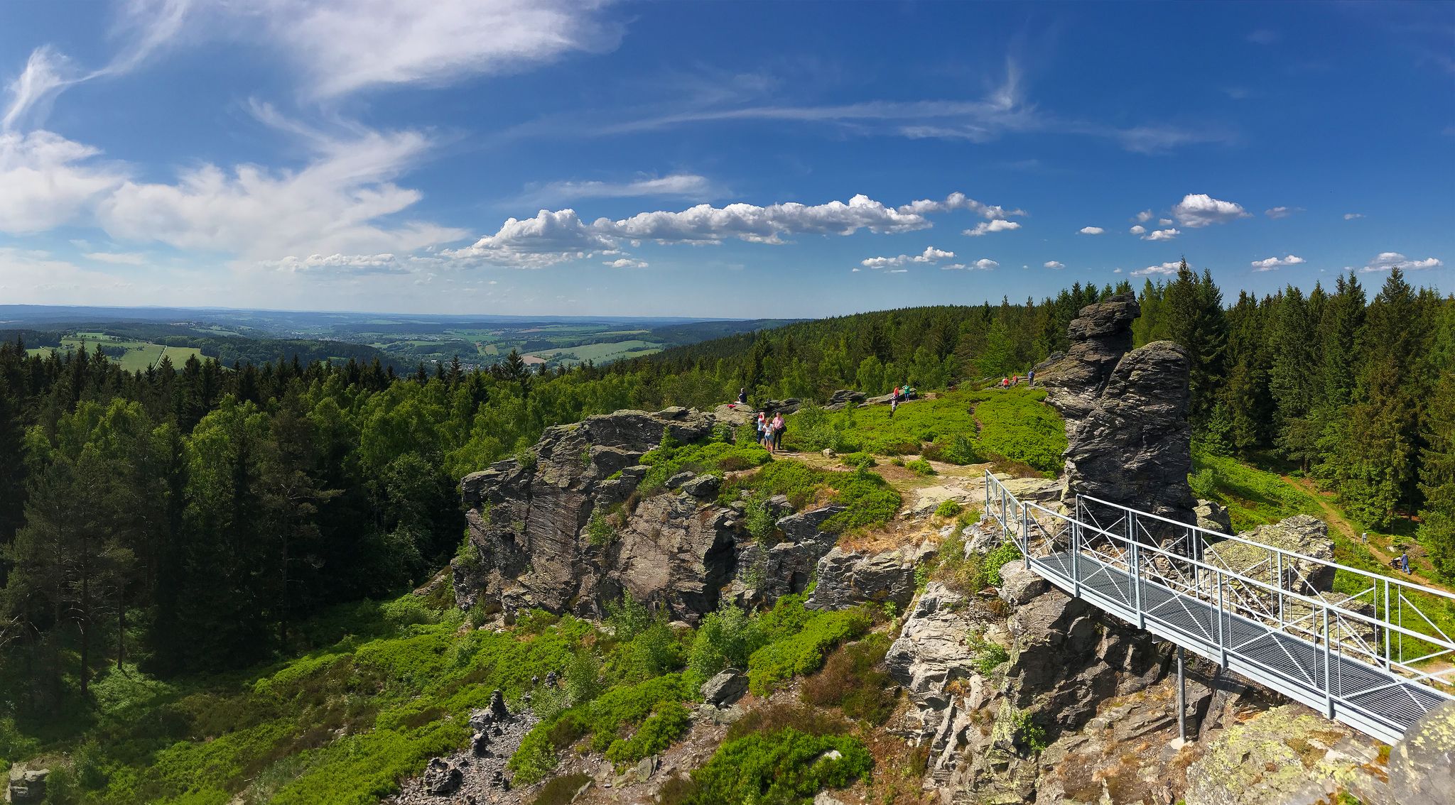
- The most popular mountain peaks is Rosenbühl Summit and Shelter, a summit that is the highest…
Last updated: June 27, 2026
Rosenbühl Summit and Shelter
Highlight • Summit
Translated by Google •
Tip by

Sandberg Triangulation Pillar
Highlight • Monument
The triangulation network (triangle network) of the Kingdom of Saxony …
Translated by Google •
Tip by

Sign up now to discover places like this
Get recommendations on the best single tracks, peaks, & plenty of other exciting outdoor places.
Sign up for free
View from Teufelsberg of the Zeulenroda Reservoir
Highlight • Viewpoint
Translated by Google •
Tip by

Königsberg Summit Rest Area and Summit Book
Highlight • Summit
Translated by Google •
Tip by

View from Sandberg
Highlight • Viewpoint
Translated by Google •
Tip by

Sign up for free to discover even more peaks around Schleiz.
Sign up for free
Already have an account?
Start today with a free account
Your next adventure awaits.
Login or Signup

Other adventures around Schleiz

Tips from the Community

Idyllic place to rest, the view lets your eyes wander further.
0
0

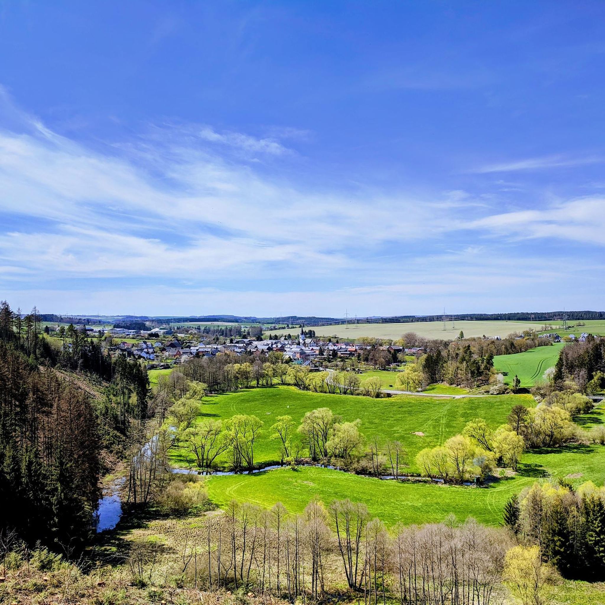
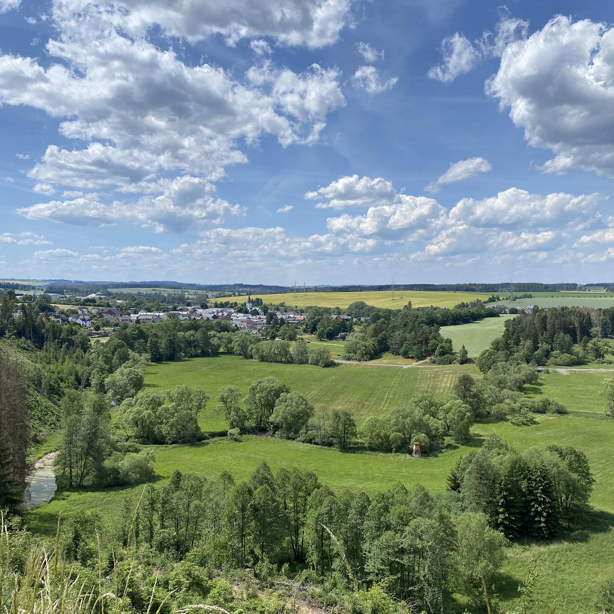
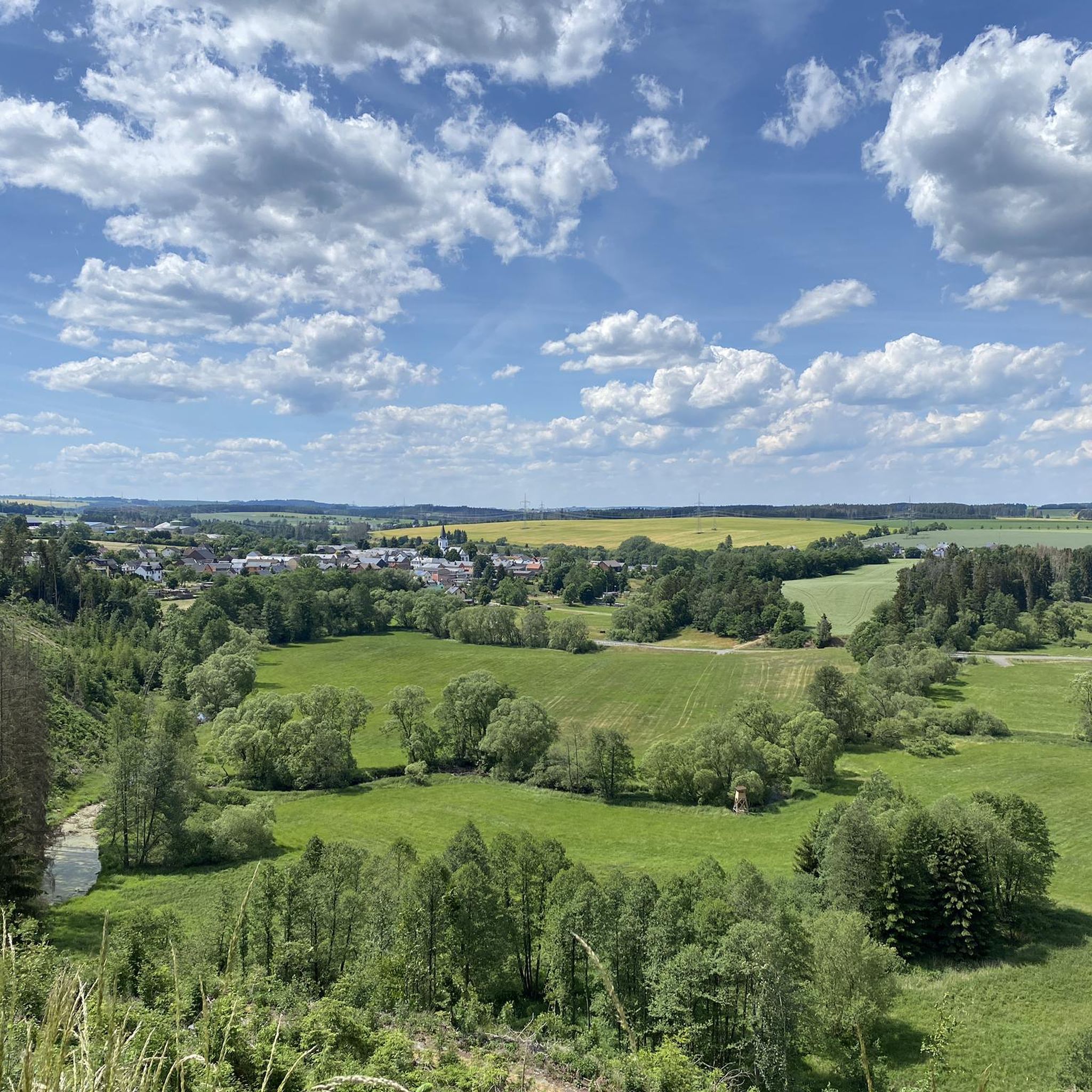
From here you have a great view of Lössau.
0
0

Take your time and drive a few meters further from the summit with the triangulation column to the edge of the forest. Here, you'll find a grassy patch with a wonderful view and plenty of peace and quiet ☺️
0
0

From here you have a good view of the Zeulenroda dam.
0
0

Since February there has also been a summit book on Teufelsberg.
2
0

A great view
0
0

There are all kinds of beautiful places to discover around the Zeulenrodaer Meer... Here we were completely surprised by the great view
1
0

Beautifully situated in a large forest area. You can walk countless kilometers without crossing a road.
0
1
Frequently Asked Questions
What are the most prominent elevated points or 'peaks' in the Saale-Orla-Kreis region around Schleiz?
The region around Schleiz features several notable elevated points. The most prominent is Rosenbühl Summit and Shelter, which, at 662 meters, is the highest elevation in the old Schleiz district. Another significant spot is Sandberg Triangulation Pillar, known for its historical monument and an elevation of 543.4 meters. Additionally, the View from Teufelsberg of the Zeulenroda Reservoir offers scenic vistas.
Are there family-friendly options for exploring the elevated points near Schleiz?
Yes, several spots are suitable for families. For instance, Rosenbühl Summit and Shelter is categorized as family-friendly, offering a rewarding hike with a protective hut and summit book. The View from Sandberg is also noted as family-friendly, providing a peaceful spot with a wonderful view.
What kind of historical significance do some of these elevated points hold?
The Sandberg Triangulation Pillar is a key historical site. This 2.30-meter-high pillar, erected in 1876, was part of the precise Central European land surveying network of the Kingdom of Saxony and served as an altitude reference point and signal station. Although damaged in the 1960s, it was restored and made accessible to the public in 1998, offering a unique blend of natural elevation and historical technology.
What kind of views can I expect from the peaks around Schleiz?
The elevated points around Schleiz offer diverse scenic views. From Rosenbühl Summit and Shelter, you can enjoy some of the best panoramic views in the region. The View from Teufelsberg of the Zeulenroda Reservoir provides a beautiful perspective of the reservoir. Additionally, the Königsberg Summit Rest Area and Summit Book offers a great view of Lössau.
Are there facilities or rest areas available at these elevated points?
Yes, some locations provide facilities for visitors. Rosenbühl Summit and Shelter features a protective hut, benches, and tables, along with a summit book. Similarly, the Königsberg Summit Rest Area and Summit Book offers a rest area and a summit book, designed as a pleasant spot to pause during a hike.
What outdoor activities can I do near the elevated points around Schleiz?
The smooth-hilly landscape around Schleiz is ideal for various outdoor activities. You can find numerous routes for hiking, road cycling, and mountain biking. For detailed routes, explore the Easy hikes around Schleiz, Road Cycling Routes around Schleiz, and MTB Trails around Schleiz guides.
Are there easy hiking trails near the elevated points for beginners?
Yes, the region offers easy hiking options. For example, the 'Turbine Runner at Bleiloch Dam – Rest Area with Panoramic View loop from Gräfenwarth' is an easy 6.4 km hike. You can find more beginner-friendly routes in the Easy hikes around Schleiz guide.
What do visitors enjoy most about the elevated points around Schleiz?
Visitors appreciate the rewarding views and the blend of nature and history. Many enjoy the challenge of reaching Rosenbühl Summit and Shelter for its panoramic vistas and the unique experience of signing the summit book. The historical significance of the Sandberg Triangulation Pillar also draws interest, offering a glimpse into past surveying technology.
Can I find circular routes that include these elevated points?
Yes, many routes in the region are designed as loops, allowing you to experience the elevated points as part of a circular journey. For instance, the 'Bleiloch Reservoir – Bleiloch Dam loop from Schleiz' for road cycling or various hiking loops around the Bleiloch Dam incorporate scenic viewpoints and natural features. Check the specific route guides for details.
What is the best time of year to visit the elevated points around Schleiz for hiking?
The region's 'smooth-hilly landscape' makes these elevated points accessible and enjoyable for various outdoor activities throughout much of the year. Spring and autumn offer pleasant temperatures and beautiful foliage, while summer is ideal for longer days. Even winter can be appealing for those seeking a quiet, crisp experience, though conditions may vary.
Are there any hidden gems among the elevated points near Schleiz?
While Rosenbühl Summit and Shelter and Sandberg Triangulation Pillar are well-known, the Königsberg Summit Rest Area and Summit Book is a charming spot that has been lovingly designed. It offers a peaceful rest area, a summit book, and a great view of Lössau, making it a delightful discovery for hikers.
Most popular routes around Schleiz
Most popular attractions around Schleiz

Get inspired with the komoot mobile app


Explore more
See even more amazing summits around Schleiz with these guides:
