The 7 Most Amazing Peaks around Nattheim
Mountain peaks around Nattheim are characterized by the region's position on the edge of the Härtsfeld and the Swabian Alb. This area features rolling hills, green meadows, and extensive forests, offering numerous elevated points and scenic areas for outdoor activities. While traditional towering peaks are not present, the landscape provides diverse hiking opportunities through varied terrain. Visitors can explore charming natural features and enjoy panoramic views from various high points.
Best mountain peaks around Nattheim
- The most popular mountain peaks…
Last updated: August 21, 2026
Knillberg
Highlight • Summit
Translated by Google •
Tip by

View from Rodstein
Highlight • Viewpoint
Translated by Google •
Tip by

Sign up now to discover places like this
Get recommendations on the best single tracks, peaks, & plenty of other exciting outdoor places.
Sign up for free
Blankenstein (664 m)
Highlight • Summit
Translated by Google •
Tip by

Highest Point in Dillingen District
Highlight • Summit
Translated by Google •
Tip by

Eisbühl Summit Cross and Valley View
Highlight • Summit
Translated by Google •
Tip by

Sign up for free to discover even more peaks around Nattheim.
Sign up for free
Already have an account?
Start today with a free account
Your next adventure awaits.
Login or Signup
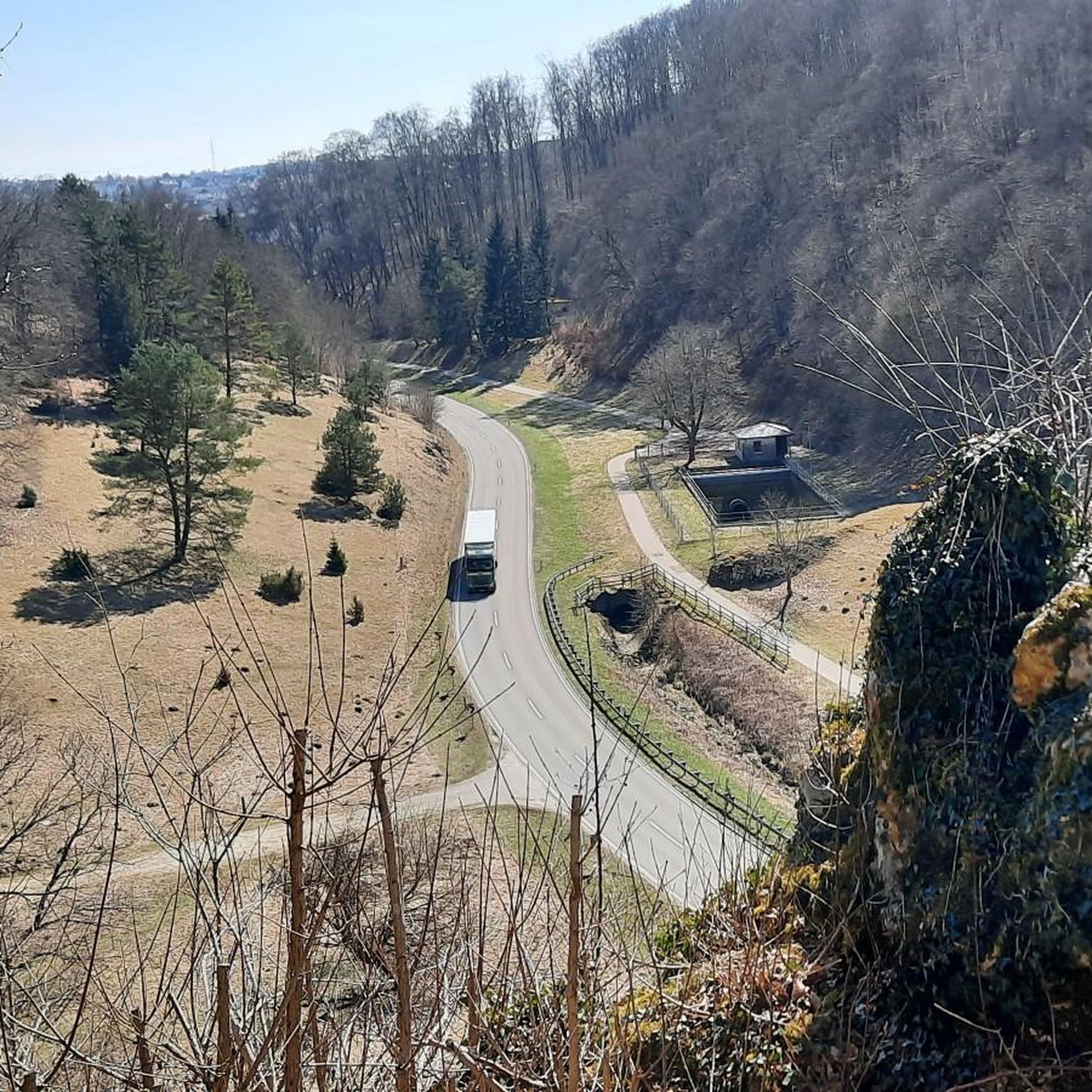
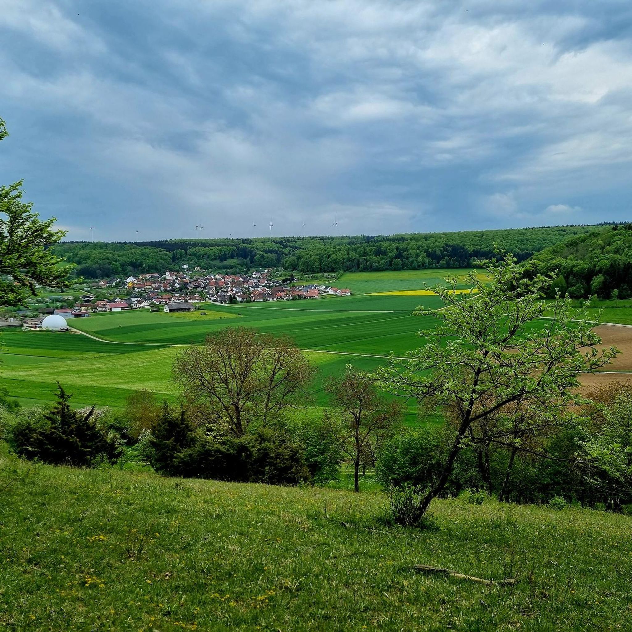


Tips from the Community


Stones covered with moss have interesting stone shapes
0
0

Nice part of the Meteor Crater circular hiking trail
0
0

Nice place to enjoy peace and quiet
0
0


Relatively secluded place in the forest... You can have a great snack or break on the rocks
1
0

Frequently Asked Questions
What kind of mountain peaks can I expect to find around Nattheim?
Nattheim is situated on the edge of the Härtsfeld and the Swabian Alb, an area characterized by rolling hills, green meadows, and extensive forests. While you won't find towering, isolated mountain peaks in the traditional sense, the region offers numerous elevated points, scenic viewpoints, and summits that provide picturesque views and diverse hiking opportunities. The appeal lies in exploring the charming, varied landscape through its trails and enjoying panoramic outlooks.
Which are some of the most popular elevated points or viewpoints near Nattheim?
Visitors particularly enjoy the View from Rodstein, which offers expansive views over Oberkochen, Heide, Wolfertstal, and Unterkochen. Another popular spot is Knillberg, a hilltop with information boards about its history and geological background. The Eisbühl Summit Cross and Valley View also provides a beautiful all-round view.
Are there any family-friendly elevated points or trails around Nattheim?
Yes, several spots are suitable for families. The View from Rodstein is considered family-friendly, offering benches and a pleasant outlook. The Highest Point in Dillingen District is also categorized as family-friendly, located in the Zöschinger Forest. The general landscape of rolling hills and forests makes many trails accessible for family walks.
What historical or geological features can be found on these elevated points?
The Knillberg hilltop is notable for its information boards detailing its history and geological background, particularly its connection to the Steinheim Basin, which was formed by a meteorite impact 15 million years ago. Additionally, the Schlossberg above Nattheim features castle ruins, offering a glimpse into the region's past.
What outdoor activities can I do near the elevated points around Nattheim?
The region is excellent for various outdoor activities. You can find numerous hiking trails, such as the 'Birkel Cave – Saumahdbrunnen Spring loop from Nattheim' or the 'Auernheim Church – Fortified Spring in Auernheim loop from Auernheim'. For cycling enthusiasts, routes like the 'Western shore of the Härtsfeldsee – View of Neresheim Abbey loop from Nattheim' are available. There are also running trails, including the 'Running loop from Nattheim'. You can explore more options on the dedicated Hiking around Nattheim, Cycling around Nattheim, and Running Trails around Nattheim guide pages.
Are there any challenging hikes or climbs in the Nattheim area?
While the region is known for rolling hills rather than steep peaks, some trails offer a more challenging experience. For instance, the Knillberg is categorized as intermediate to challenging. The 'View of Neresheim Abbey – Zwing Nature Reserve loop from Auernheim' hiking route is also rated as difficult. These routes provide a good workout amidst the scenic landscape.
What is the best time of year to visit Nattheim for hiking and outdoor activities?
The region's varied landscape of rolling hills, meadows, and forests makes it enjoyable throughout much of the year. Spring and autumn offer pleasant temperatures and beautiful scenery with blooming flowers or vibrant fall foliage. Summer is also popular, though it can be warmer. Winter hiking is possible, but conditions may vary, so it's advisable to check local weather forecasts.
Can I bring my dog on the trails around Nattheim's elevated points?
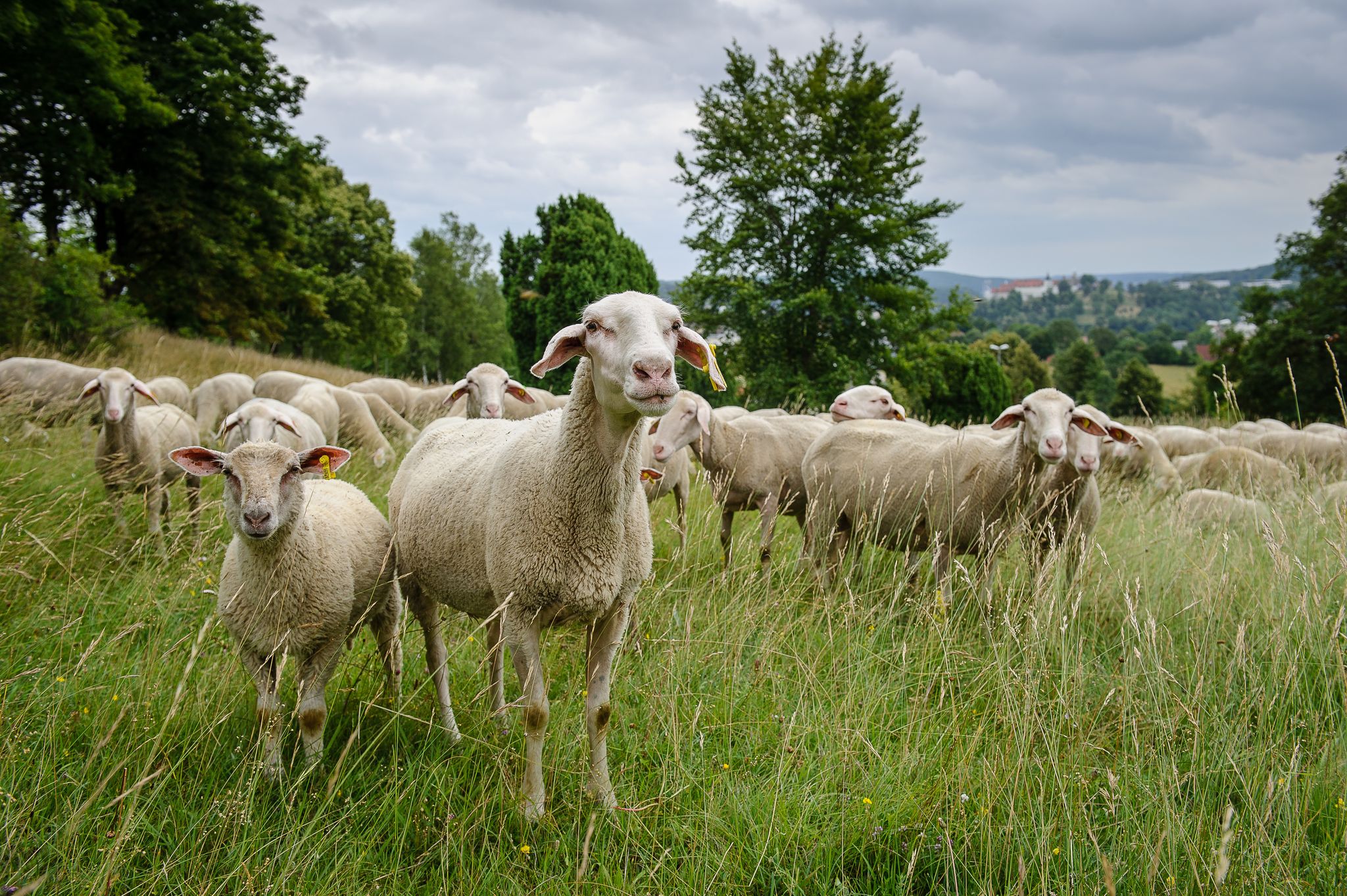
Generally, the natural trails and open landscapes around Nattheim are dog-friendly. However, it's always recommended to keep dogs on a leash, especially when passing through meadows where livestock might be grazing, such as with Alb shepherds and their herds, which you might encounter near Knillberg. Always follow local signage and regulations regarding pets.
Where can I find panoramic views of the surrounding area?
Several locations offer excellent panoramic views. The View from Rodstein provides a great outlook over Oberkochen, Heide, Wolfertstal, and Unterkochen. The Eisbühl Summit Cross and Valley View is known for its beautiful all-round and wide valley views. Additionally, the Schlossberg above Nattheim offers breathtaking views over the valley.
Are there any specific natural features or landmarks to look out for?
Beyond the elevated points themselves, the region boasts diverse natural features. The Knillberg is part of the unique geological Steinheim Basin. You might also encounter the Mariengrotte under the summit cross at Rodstein. The area is characterized by extensive forests and green meadows, offering a rich natural environment to explore.
What is the highest point in the immediate vicinity of Nattheim?
While Nattheim itself is characterized by rolling hills, the Highest Point in Dillingen District, located at 610 meters above sea level in the Zöschinger Forest, is a notable elevation in the broader area. Other named elevations in the wider Landkreis Heidenheim include Wollenberg (730 m), Höllbuck (671 m), and Rudelsberg (670 m), which are part of the Swabian Alb's hilly terrain.
Most popular routes around Nattheim
Most popular attractions around Nattheim

Get inspired with the komoot mobile app


Explore more
See even more amazing summits around Nattheim with these guides:
