Top 8 Gorges around Plochingen
Best canyons around Plochingen are found in a region characterized by the confluence of the Neckar and Fils rivers, the Schurwald Forest, and proximity to the Swabian Alb. While traditional canyons are not explicitly identified, the area offers dramatic landscapes and varied topography. These natural features include deep, forested valleys and rugged terrain, providing experiences akin to exploring gorges.
Best canyons around Plochingen
- The most popular canyons is Grunbach Waterfall, a waterfall that features adventurous paths leading down to…
Last updated: September 30, 2026
Grunbach Waterfall
Highlight • Waterfall
Translated by Google •
Tip by

Tiefklinge (Mittlerer Schurwald)
Highlight • Gorge
the deep blade, like every blade, …
Translated by Google •
Tip by

Sign up now to discover places like this
Get recommendations on the best single tracks, peaks, & plenty of other exciting outdoor places.
Rappenloch Nature Reserve
Highlight • Forest
The …
Translated by Google •
Tip by
Katzenbachtal
Highlight • Gorge
Translated by Google •
Tip by

Krebsbach Stream and Ravine
Highlight • Gorge
Translated by Google •
Tip by
Sign up for free to discover even more gorges around Plochingen.
Already have an account?
Start today with a free account
Your next adventure awaits.
Popular around Plochingen
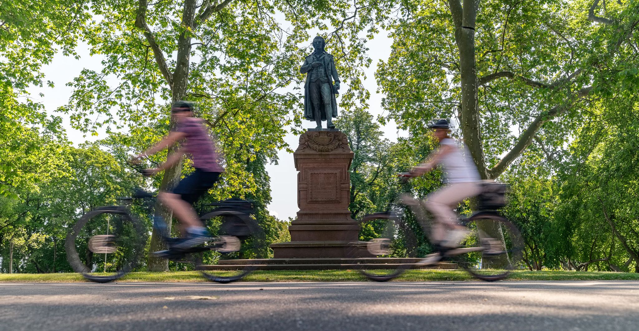
Culture over mileage – cultural Highlights on the Neckar Valley Cycle Path
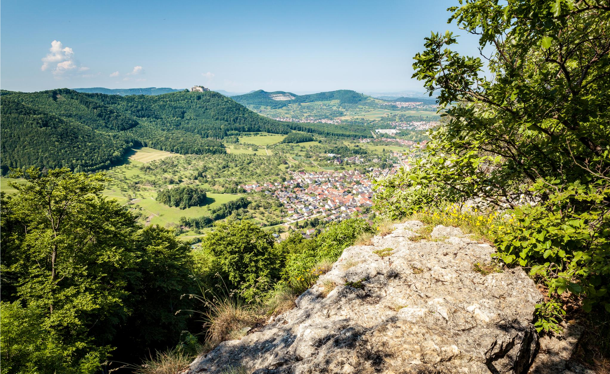
Between the Alb and Neckar – weekend outdoor escapes
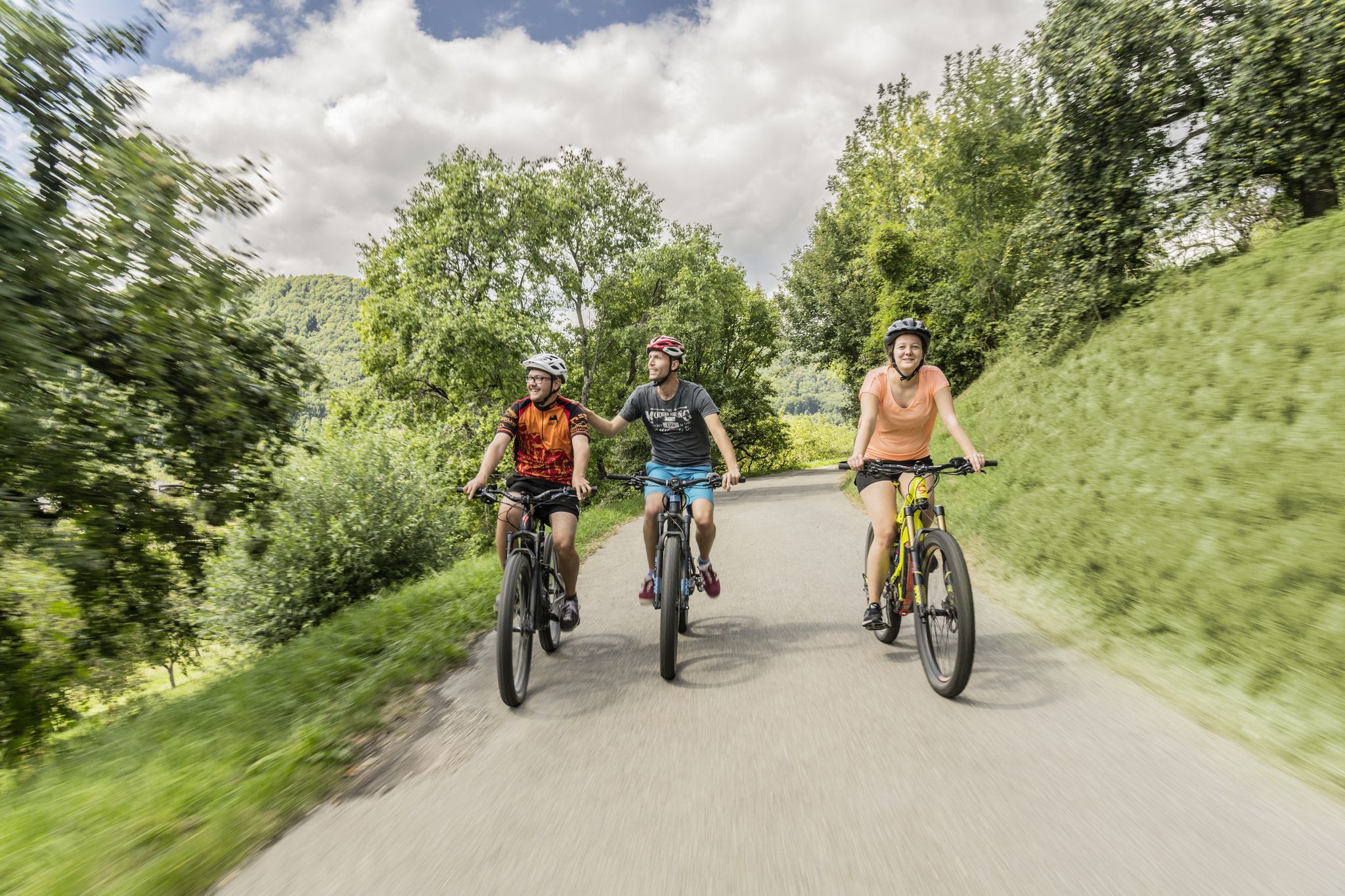
Between river, forest and alb – cycling tours in the Esslingen district
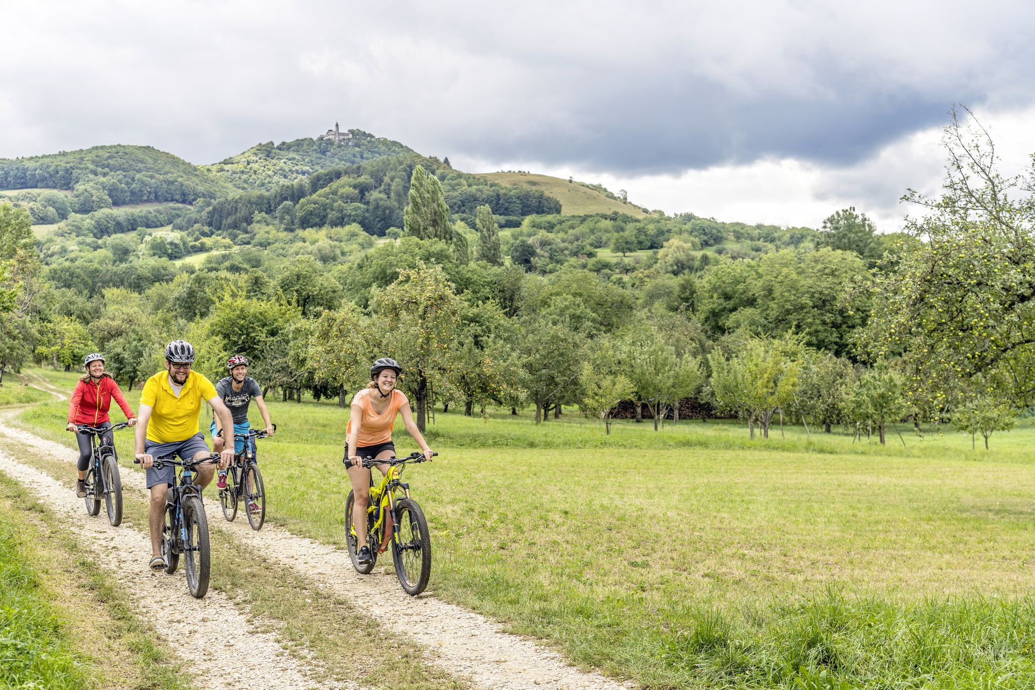
Explore the stunning Swabian Alb — cycling in the Esslingen district
Cycling around Plochingen
Hiking around Plochingen
Road Cycling Routes around Plochingen
Running Trails around Plochingen
MTB Trails around Plochingen
Gravel biking around Plochingen
Other adventures around Plochingen


Tips from the Community

because the path down to the “waterfall” and back up again via many stairs to the tour is very beautiful
0
0

You need good shoes to get closer to the waterfall
0
0

Nice little waterfall. It has more water after rain or when the snow melts.
1
0

You wouldn't expect a waterfall in the middle of the vineyards. But there is one. Nice place to enjoy nature for a while.
1
1

The Katzenbachtal is also very nice for an extensive hike.
2
0

A beautiful valley with beautiful paths.
3
0

... the "Grunbacher Wasserfall" is located in the idyllic "Buchklinge" between "Buoch and Grunbach" (districts of Remshalden) in the Rems-Murr district, Baden-Württemberg - among others. on the “blue line/bar” markings or the “Geological Path” - Surefootedness is recommended at the waterfall! - Conditions of the paths at the waterfall depend on the season and the weather
3
1

Location and history: The Tiefklinge is located about 600 m -700 m west of Lichtenwald-Hegenlohe, at the intersection of the Seeteichweg and the Tiefklingenweg. the deep blade, like every blade, has a small notched valley caused by water and debris erosion and usually side valleys of larger valleys. They form short, narrow, but steep valleys without a valley floor. The further deepening through erosion and receding erosion is mainly caused by the water from rivulets and streams and their gradient and can still be observed today. Erosion, sedimentation and transport are mutually dependent. The name "Klinge" for small notched valleys is said to come from the noise of the streams during high water. Another interpretation says that the valleys were struck as if by blades. In the whole of south-west Germany, including the Swabian and Franconian Jura, small notched valleys are known as the Klinge, Tobel and Klammen. As the name suggests, the deep blade is a deeper blade. The Deep Blade is also the habitat of the midwife toad. Source: partly Wikipedia
2
1
Frequently Asked Questions
What kind of natural landscapes can I expect around Plochingen, given there are no traditional canyons?
While Plochingen doesn't feature traditional canyons like the Wutach Gorge, the region offers dramatic landscapes and varied topography. You'll find deep, forested valleys, rugged terrain, and picturesque river valleys, particularly in the Schurwald Forest and areas leading towards the Swabian Alb. These natural features provide an experience akin to exploring gorges, with scenic trails and expansive views.
Which are some of the most popular gorge-like areas to explore near Plochingen?
Visitors frequently enjoy the Grunbach Waterfall, which features adventurous paths leading down to the Remstal with a ravine and waterfall. Another favorite is Strümpfelbach Valley, known for its quaint paths along a stream through a forested river valley. The idyllic Katzenbachtal is also highly rated for extensive hikes within the conservation area of the middle Schurwald.
Are there family-friendly trails in the gorges and valleys around Plochingen?
Yes, several areas are suitable for families. The Strümpfelbach Valley is categorized as family-friendly, offering pleasant paths along a stream. Similarly, the Katzenbachtal is also noted for its beautiful paths suitable for families looking for an extensive hike.
What kind of hiking trails can I find near these natural areas?
The region around Plochingen offers a variety of hiking trails, from easy walks to more challenging routes. You can find paths through deep forests, along streams, and to viewpoints. For instance, there are easy hikes around Plochingen, including routes like the 'Bridge Over the Katzenlohbach' or trails near the Kirchenwald Hut, perfect for a leisurely outing.
What other outdoor activities are available near the gorges and valleys of Plochingen?
Beyond hiking, the area is excellent for cycling. You can explore various routes, including cycling tours around Plochingen that take you through the Mittlerer Schurwald or along the Neckar and Fils rivers. There are also dedicated road cycling routes for those looking for longer rides.
What is the 'Tiefklinge' and what makes it unique?
The Tiefklinge, located in the Mittlerer Schurwald, is a small notched valley formed by water and debris erosion. These 'Klingen' are characteristic of southwest Germany, known for their short, narrow, and steep profiles without a traditional valley floor. The Tiefklinge is also notable as a habitat for the midwife toad, adding to its ecological significance.
What can I expect when visiting the Rappenloch Nature Reserve?
The Rappenloch Nature Reserve is a conservation area within the Aichwald, characterized by a typical Keuper mountain landscape with cliff-rich sandstone slopes and natural beech and oak forests. It's an important habitat for numerous plant and animal species, offering a beautiful natural setting for intermediate hikes.
What do visitors particularly enjoy about the natural areas around Plochingen?
Visitors appreciate the natural grandeur and adventurous paths, especially around the Grunbach Waterfall. The quaint paths and serene atmosphere of places like the Strümpfelbach Valley are also highly valued for a relaxing experience. Many enjoy the extensive hiking opportunities and the beauty of valleys like the Katzenbachtal.
What is the best time of year to visit the gorges and valleys near Plochingen?
The natural areas around Plochingen, including the Schurwald Forest and river valleys, are beautiful year-round. Spring brings lush greenery and blooming flora, while autumn offers vibrant fall colors. Summer is ideal for longer hikes, and even winter can be picturesque, though some paths might be slippery. Weekends can be crowded, so visiting early in the morning or during the week is recommended for a quieter experience.
Are there any viewpoints or landmarks to look out for during hikes?
While specific 'canyon' viewpoints are not listed, the region's varied topography, especially in the Schurwald Forest and towards the Swabian Alb, offers numerous vantage points. Trails leading to spots like 'Himmelsglück' in the Schurwald provide extensive views over the Neckar Valley and the distant 'Blue Wall' of the Swabian Alb, offering a sense of scale and natural grandeur.
Can I bring my dog on the trails in these natural areas?
Generally, dogs are welcome on hiking trails in the natural areas around Plochingen, including the Schurwald Forest and river valleys. However, it's always advisable to keep dogs on a leash, especially in nature reserves like the Rappenloch area, to protect wildlife and ensure a pleasant experience for all visitors. Always check local signage for specific rules.
Most popular routes around Plochingen
Most popular attractions around Plochingen

Get inspired with the komoot mobile app


Explore more
Already discovered everything in this region? See additional gorges around Plochingen for your next adventure:
