The 4 Most Amazing Peaks in Tønder
Mountain peaks in Tønder are characterized by the region's generally low-lying topography, which primarily consists of marshlands, coastal paths, and forested areas. While Tønder does not feature traditional mountain peaks, it offers elevated areas or hills, particularly on Rømø island, that provide expansive views over the flat landscape. These features are part of the unique natural beauty of the Wadden Sea National Park, a UNESCO World Heritage site. Visitors can explore diverse natural landscapes shaped by centuries of interaction with…
Last updated: June 27, 2026
Stagebjerg Summit
Highlight • Summit
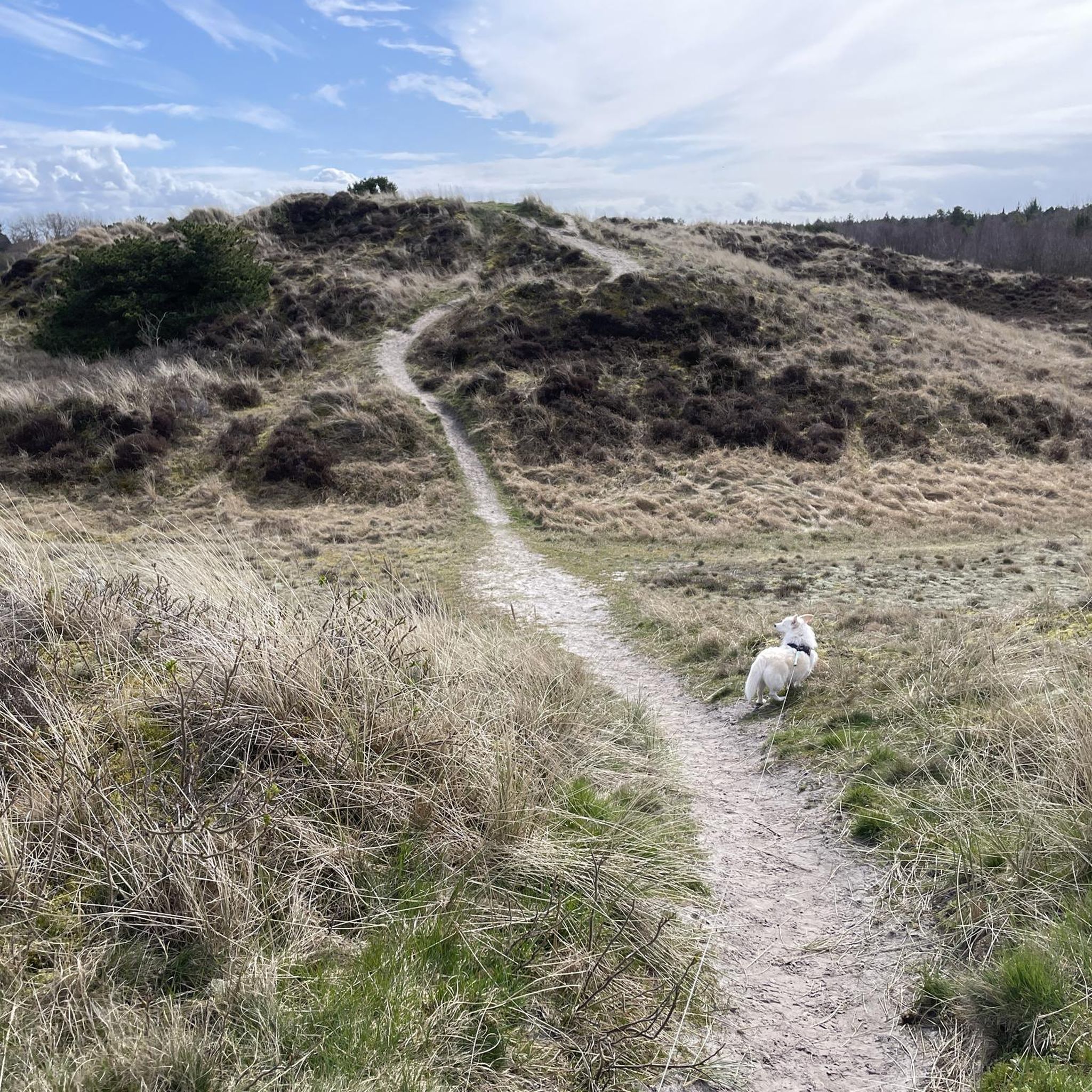
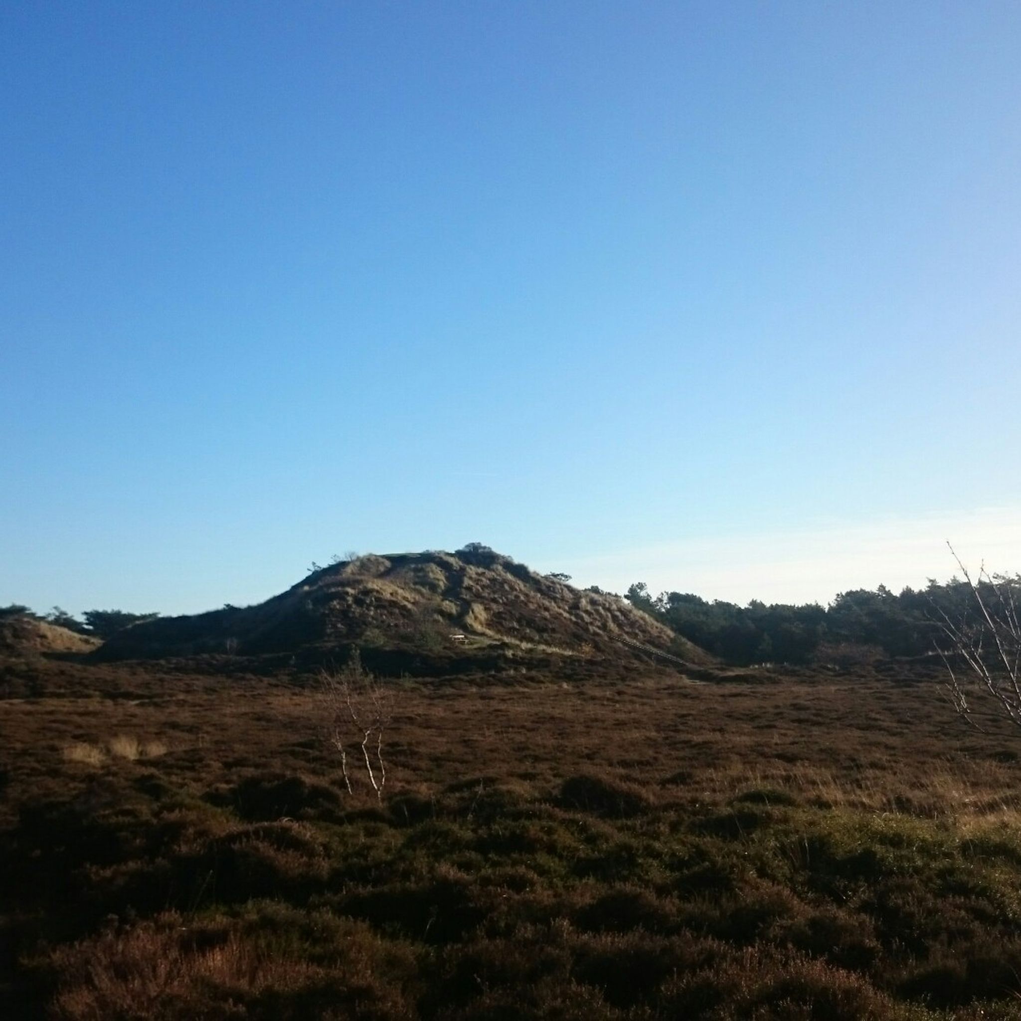
On the Stagebjerg was a radar station during World War II and buried under the sand is still a bunker.
Translated by Google •
Tip by

View from Høstbjerg
Highlight • Viewpoint
Translated by Google •
Tip by

Sign up now to discover places like this
Get recommendations on the best single tracks, peaks, & plenty of other exciting outdoor places.
Sign up for free
View from the Highest Point of the Island
Highlight • Viewpoint
Translated by Google •
Tip by

Start today with a free account
Your next adventure awaits.
Login or Signup
Popular around Tønder
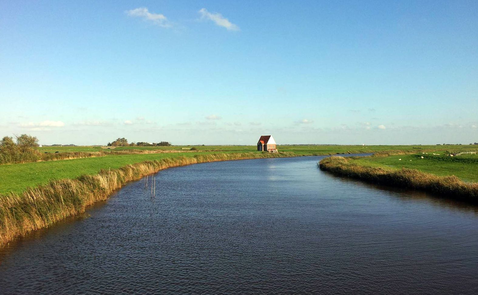
Border Route — in 3 days from the North Sea to the Baltic Sea
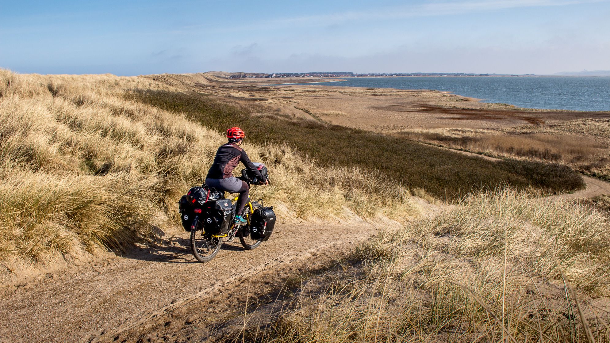
West Coast Route – National Cycle Network Route 1
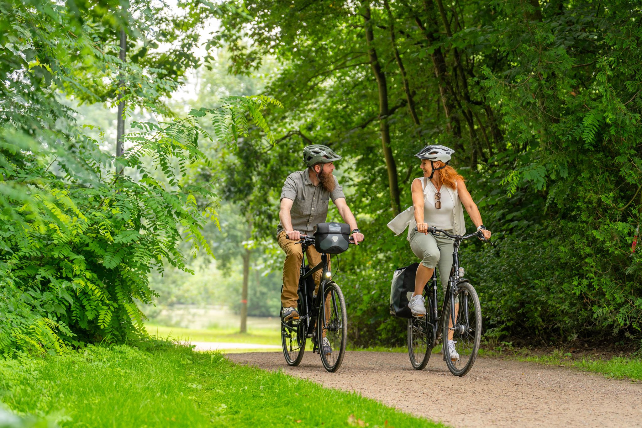
Radfernwege im Grünen Binnenland in Schleswig-Holstein
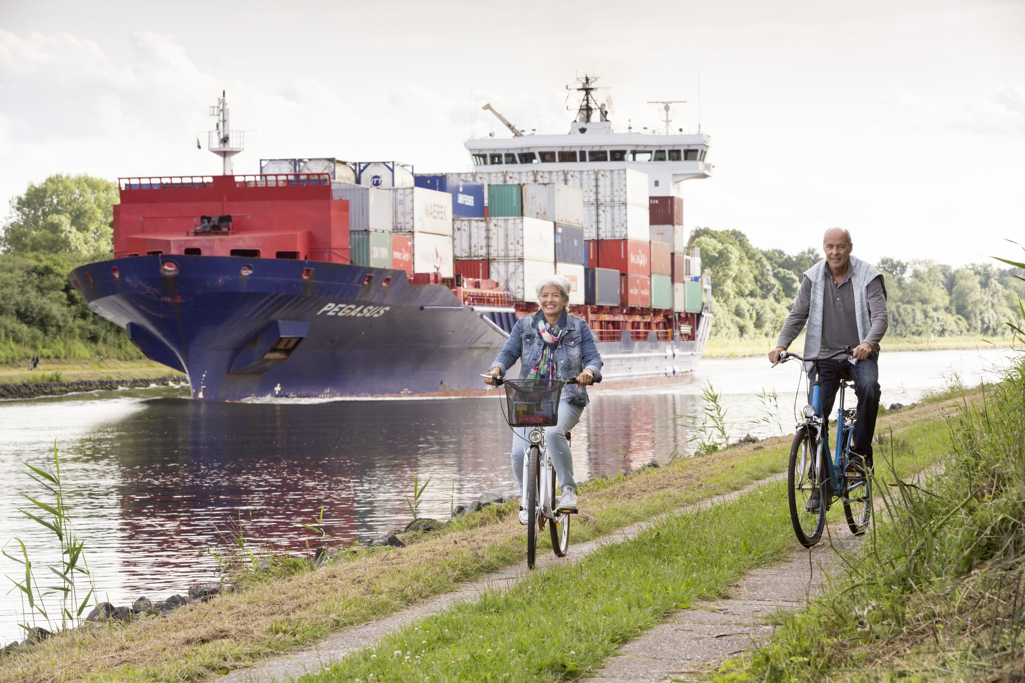
Radfernwege im Binnenland Schleswig-Holstein
Cycling in Tønder
Hiking in Tønder
MTB Trails in Tønder
Running Trails in Tønder
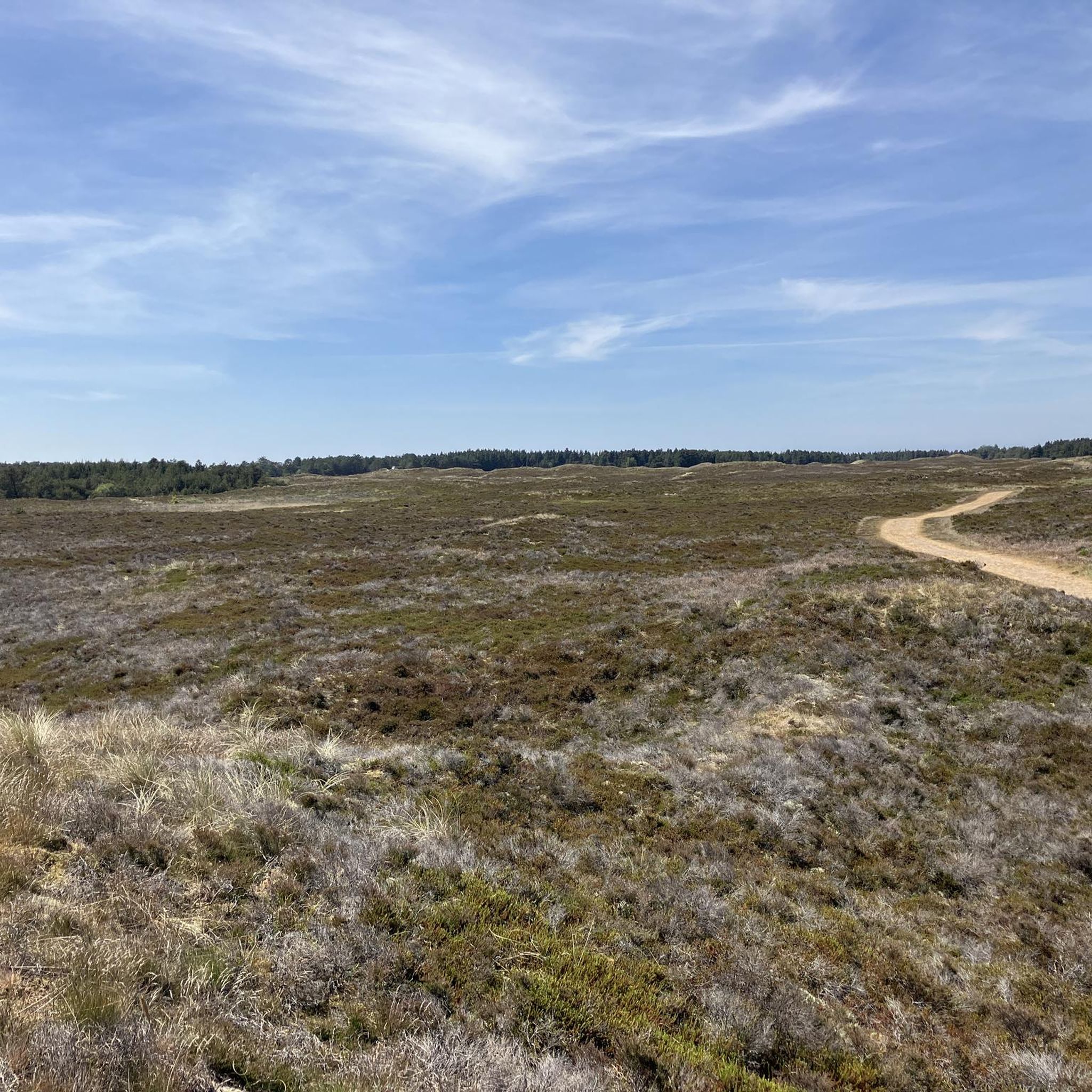
Road Cycling Routes in Tønder
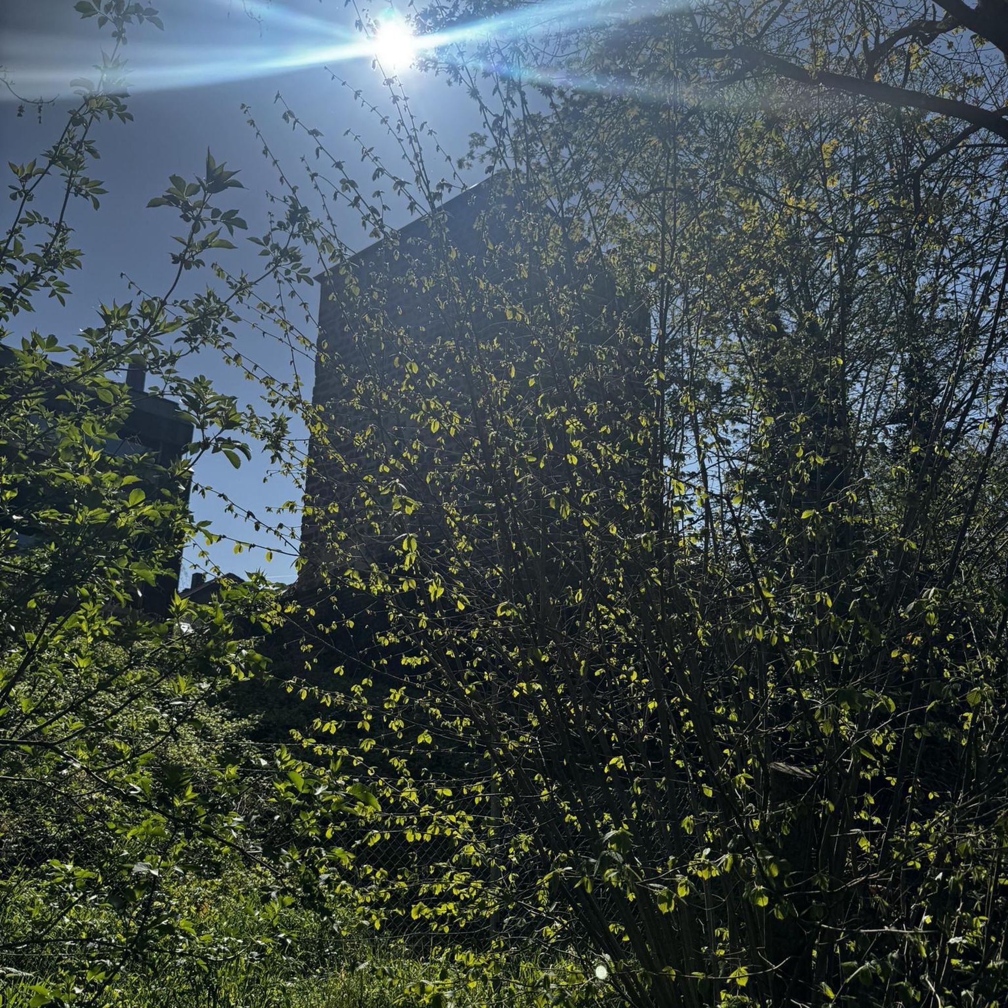
Gravel biking in Tønder
Other adventures in Tønder


Tips from the Community

Good panoramic view of the entire island
0
0

Nice view from the highest point of the island
1
0
At 18 meters it is the highest mountain on the island and has a wonderful view
2
0


An absolute dream, even in hazy weather. Just wonderful this peace and the beautiful view into the distance 😊...
2
0
The 3.6 km long yellow route, starting from Hundeskov Vraby, leads through a partly hilly forest landscape, directly past Stagebjerg. The free view to the east can wander into the distance...
5
0

Embedded in a small plantation with many trails.
5
0

A small hill, around there are still some bunkers to be found.
4
0
Frequently Asked Questions
What are the highest points or 'peaks' in the Tønder region?
While Tønder does not have traditional mountain peaks, it features elevated areas, particularly on Rømø island, that offer expansive views. The highest point on Rømø is the View from Høstbjerg at 19 meters, offering panoramic views over the northern part of the island. Another notable spot is View from Spidsbjerg, also 19 meters high, providing views of the dunes of Sønderland and the sea. The Stagebjerg Summit, at 18 meters, is the second highest on Rømø and offers views of the Vråby plantation and surrounding dunes.
Are there family-friendly walks to these elevated points in Tønder?
Yes, many of the elevated areas and viewpoints in Tønder, especially on Rømø island, are considered family-friendly. Highlights like Stagebjerg Summit, View from Spidsbjerg, and View from Høstbjerg are accessible for families. The paths are generally gentle, making them suitable for walks with children.
What kind of natural features can I expect to see from these viewpoints?
From Tønder's elevated points, you can expect to see diverse natural landscapes. These include vast marshlands, coastal dunes, heath, and forested areas. The region is part of the Wadden Sea National Park, a UNESCO World Heritage site, so you'll experience unique ecosystems shaped by centuries of interaction with water, including dikes and canals. For example, from View from Spidsbjerg, you can see the dunes of Sønderland and the sea on the horizon.
Are there any historical sites near the 'peaks' in Tønder?
Yes, some of the elevated points have historical significance. For instance, the Stagebjerg Summit on Rømø was home to a radar station during World War II, and a bunker is still buried under the sand. Near the View from Høstbjerg, you can find relics of the former Atlantic Wall, offering a glimpse into the region's wartime past.
What is the best time to visit Tønder for outdoor activities and views?
The Tønder region is beautiful year-round, but for outdoor activities and clear views, late spring through early autumn (May to September) generally offers the most pleasant weather. During these months, you'll experience milder temperatures ideal for walking and cycling, and the natural landscapes are vibrant. Winter can also offer a unique, tranquil experience, especially in the marshlands, though it can be colder and windier.
What outdoor activities can I do near the elevated areas in Tønder?
The Tønder region offers a variety of outdoor activities beyond just visiting viewpoints. You can explore extensive networks of trails for gravel biking, enjoy scenic running trails, or embark on road cycling routes. The flat terrain and coastal paths are particularly well-suited for these activities, allowing you to experience the unique marshlands and coastal beauty.
Are there easy hiking routes to these viewpoints for beginners?
Yes, the 'peaks' in Tønder are generally low-lying hills, making them accessible for beginners and those looking for easy walks. The paths to viewpoints like View from Høstbjerg are typically small and lead to the summit in just under 15 minutes, offering great views without strenuous climbing. The overall landscape is flat, so most trails are not challenging.
How long does it typically take to hike to these elevated points?
Hiking to the elevated points in Tønder, such as those on Rømø island, usually takes a short amount of time. For example, from a parking spot near Stagebjerg Summit, a signposted path leads to the 'mountain' in just a few minutes. Similarly, paths to View from Høstbjerg can be ascended in under 15 minutes, providing quick access to panoramic views.
What do visitors enjoy most about the elevated areas in Tønder?
Visitors frequently highlight the unique panoramic views and the sense of peace. Despite their modest height, these elevated areas offer expansive vistas over the flat marshlands, dunes, and coastal areas, especially on Rømø island. The tranquility and the distinct natural beauty of the Wadden Sea landscape are often mentioned as key attractions, providing a wonderful escape into nature.
Are dogs allowed on trails leading to Tønder's viewpoints?
Generally, dogs are welcome on many outdoor trails in the Tønder region, including those leading to viewpoints. However, it's always recommended to keep dogs on a leash, especially in nature reserves, areas with livestock, or during bird breeding seasons, to protect wildlife and ensure a pleasant experience for all visitors. Specific rules may apply in certain protected areas.
Where can I find parking for trails leading to these viewpoints?
Parking is typically available near the access points for the more popular elevated areas, especially on Rømø island. For instance, near Stagebjerg Summit, you can find parking at the junction of Stagebjergvej, an unpaved forest road. These areas are usually well-marked to facilitate visitor access to the trails.
Are there any circular hiking routes that include these elevated points?
While specific circular routes directly encompassing multiple 'peaks' might be limited due to their scattered nature, many local trails in the Tønder region are designed as loops. For example, the Marskstien, a 54 km long hiking route, crosses the Tøndermarsch and offers opportunities for circular sections. You can often combine visits to individual viewpoints with longer walks through the surrounding marshlands, dunes, or forests to create your own circular experience.
Most popular attractions in Tønder

Get inspired with the komoot mobile app


Explore more
See even more amazing summits in Tønder with these guides:
