Top 13 Gorges around Blumenstein
Best canyons around Blumenstein are characterized by the natural landscapes shaped by the Gürbe River and its tributaries in the canton of Bern, Switzerland. While not featuring traditional deep canyons, the region offers areas with pronounced, steeper river sections and notable natural features. The Gürbe River valley provides scenic hiking opportunities, particularly where the riverbed becomes steeper upstream. The Fallbach waterfall, a tributary of the Gürbe, also contributes to the area's natural appeal.
Best canyons around Blumenstein
- The most popular…
Last updated: June 28, 2026
Strättligsteg footbridge over the Kander River
Highlight • Bridge
Translated by Google •
Tip by

Leiternweide Suspension Bridge (Oberwil im Simmental)
Highlight • Bridge
Translated by Google •
Tip by

Sign up now to discover places like this
Get recommendations on the best single tracks, peaks, & plenty of other exciting outdoor places.
Sign up for free
View of the Kander Gorge from Hanissteg
Highlight • Viewpoint
Translated by Google •
Tip by

Cholerenschlucht Gorge
Highlight • Gorge
Translated by Google •
Tip by

Suspension Bridge Cholerenschlucht
Highlight • Bridge
Translated by Google •
Tip by

Sign up for free to discover even more gorges around Blumenstein.
Sign up for free
Already have an account?
Start today with a free account
Your next adventure awaits.
Login or Signup
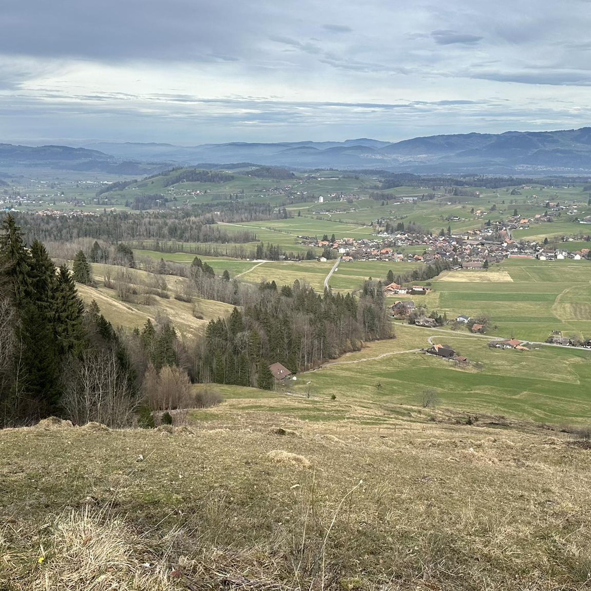
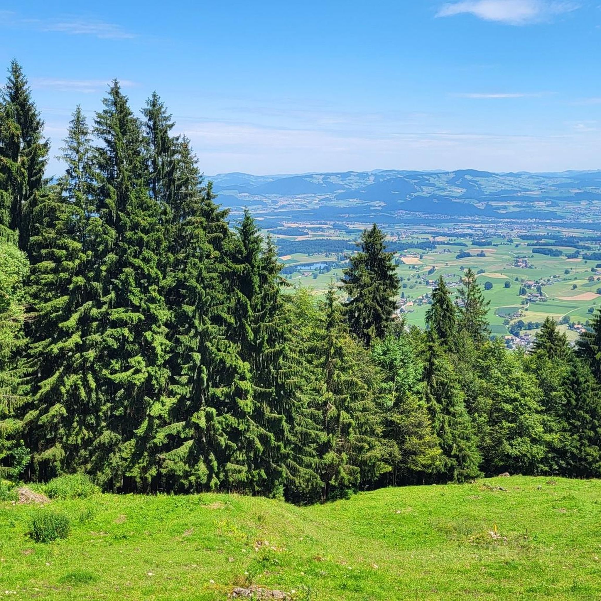
Tips from the Community

You have to carry the bike onto the bridge
0
0

The upper part is more demanding than the lower
0
0

That was really mega beautiful
0
0

I recommend starting the hike in Weissenburg. The steep section before the suspension bridge is easier to manage going up than going down. https://schweizmobil.ch/de/wanderland/route-319
1
0

Deep views on a well-secured bridge:
0
0

Wonderful view of the Kander Gorge
0
0

A very cool bridge.
0
0

The Choleren Gorge, which was created by the erosion of the Cholerbach. With steep cliffs, thundering waterfalls and winding paths, it offers hikers and nature lovers a spectacular experience. Wooden bridges and stairs enable safe exploration of this fascinating natural setting. The name "Cholerenschlucht" is probably related to traditional charcoal burning. The Choleren Gorge used to be known for its charcoal kilns, where charcoal was produced. The name "Choleren Gorge" could thus refer to this historical activity. A second theory is that the term comes from the Latin word "colera" which means "bile" or "anger" and could refer to the wild waterfalls and the impressive nature of the gorge. A third theory holds that the name comes from the old Swiss German word "chole" meaning "little stream" or "little river".
0
0
Frequently Asked Questions
What kind of natural features can I expect to find around Blumenstein?
While Blumenstein doesn't feature traditional deep canyons, the region offers picturesque natural landscapes shaped by the Gürbe River and its tributaries. You'll find areas with pronounced, steeper river sections, scenic river valleys, and notable natural features like the impressive Fallbach waterfall. These areas provide excellent opportunities for hiking and experiencing dynamic riverine environments.
Are there any impressive waterfalls to visit near Blumenstein?
Yes, the Fallbach waterfall is a significant natural landmark in the vicinity of Blumenstein. It's a tributary of the Gürbe River and forms a waterfall of about 100 meters in height southwest of the Blumenstein church. It's a beautiful natural attraction accessible via hiking trails.
What are some popular viewpoints or bridges offering views of gorges around Blumenstein?
Visitors enjoy several spots that offer unique perspectives of the area's natural formations. These include the Leiternweide Suspension Bridge (Oberwil im Simmental), which spans 111 meters long and high above a deep gorge. Another popular spot is the Strättligsteg footbridge over the Kander River, providing a high vantage point. Additionally, the View of the Kander Gorge from Hanissteg offers an impressive look at where the Kander has eroded to a depth of over 35 meters.
Are there any challenging gorge hikes in the Blumenstein area?
Yes, for those seeking a more challenging experience, the Cholerenschlucht Gorge offers a wonderfully beautiful but sometimes quite steep hike with potential for slipping. Good shoes are highly recommended. Another challenging option is the path leading to the Morgetenbach Suspension Bridge, which involves a very steep ascent with many nested metal stairs high above the rocky gorge.
What outdoor activities can I do near the gorges and rivers around Blumenstein?
The region around Blumenstein is excellent for various outdoor activities. You can explore numerous Mountain Hikes, offering routes like the 'Chumlihütte – Morgetegrat loop'. There are also many MTB Trails, such as the 'Ascent to Gurnigel Pass Summit loop', and Cycling routes like the 'View of Lake Thun – Grundmoos Valley loop'.
What is the best time to visit Blumenstein for hiking and exploring its natural features?
The hiking season in Blumenstein generally runs from spring to autumn. During these months, the weather is typically more favorable for exploring the trails along the Gürbe River and to the Fallbach waterfall. Spring brings lush greenery, while autumn offers vibrant colors. Always check local weather conditions before your visit, as some paths, especially in gorges, can be slippery when wet.
Are there family-friendly hiking options near Blumenstein's natural attractions?
While some gorge sections can be challenging, many areas along the Gürbe River and the path to the Fallbach waterfall offer moderate hikes suitable for families. For instance, the 'Blumenstein Church – Fallbach Waterfall loop' is a moderate 10 km hike that can be enjoyed by families with older children. Always consider the fitness level and sure-footedness of all participants, especially on steeper or potentially slippery sections.
Can I bring my dog on hikes around Blumenstein's gorges and rivers?
Generally, dogs are welcome on hiking trails in the Blumenstein region. However, specific rules may apply in certain protected areas or on private land. When hiking in gorges or near steep drops, it's advisable to keep dogs on a leash for their safety and the safety of others. Always ensure your dog is well-behaved and that you clean up after them.
Where does the Gürbe River originate, and what are its characteristics near Blumenstein?
The Gürbe River originates with several headwaters on the northern slope of the Gantrisch mountain, within the Gantrisch Nature Park. As it flows through Blumenstein, particularly upstream from Wattenwil, its riverbed becomes noticeably steeper. The 'wild water' of the Gürbe is managed by 'striking weirs' in certain sections, creating a dynamic and visually interesting riverine landscape that is popular for hiking.
Are there any historical or cultural insights related to the gorges or bridges in the area?
Yes, for example, the Hanissteg, locally known as 'Bschüttistäg', was originally built in the early 1970s as a sewer bridge for the Thunersee sewage treatment plant. This highlights the blend of natural beauty and functional infrastructure in the region. The Cholerenschlucht Gorge also has historical theories regarding its name, possibly linked to traditional charcoal burning or the old Swiss German word for 'little stream'.
What should I wear for hiking in the gorges and river valleys around Blumenstein, especially in summer?
Even in summer, it's advisable to wear sturdy, waterproof hiking boots with good grip, especially when exploring gorges like the Cholerenschlucht, where paths can be steep and slippery. Layered clothing is recommended to adapt to changing temperatures. Bring rain gear, as weather can be unpredictable. Don't forget sun protection, sufficient water, and snacks.
Is there parking available near the hiking trails and natural attractions in Blumenstein?
Parking availability varies by location. For popular trailheads, such as those leading to the Fallbach waterfall or along the Gürbe River, you can often find public parking areas. It's recommended to check specific trail information or local tourism resources for details on parking access before your visit. Public transport is also an option for reaching many starting points.
Most popular routes around Blumenstein
Most popular attractions around Blumenstein

Get inspired with the komoot mobile app


Explore more
Already discovered everything in this region? See additional gorges around Blumenstein for your next adventure:
