The 8 Most Amazing Peaks around Killwangen
Best mountain peaks around Killwangen are found within a municipality situated in the Limmat valley of Switzerland, offering elevated areas that provide scenic views and recreational opportunities. The region's topography includes hills and ridges, with the Sennenberg ridge reaching an elevation of 702 meters above sea level as the highest point within Killwangen. These areas provide opportunities for hiking, with various trails allowing visitors to experience the local landscape.
Best mountain peaks around Killwangen
- The most popular mountain peaks is…
Last updated: October 1, 2026
Burghorn
Highlight • Viewpoint
Translated by Google •
Tip by

Altberg Observation Tower
Highlight • Viewpoint
Translated by Google •
Tip by
Sign up now to discover places like this
Get recommendations on the best single tracks, peaks, & plenty of other exciting outdoor places.
Highest point of Dottikon Dreihägen (549 m above sea level)
Highlight (Segment) • Summit
Translated by Google •
Tip by

Heitersberg Summit Stone (787 m)
Highlight • Summit
Showing Translation
Tip by

Sulperg 514 m a.s.l.
Highlight • Summit
Translated by Google •
Tip by

Sign up for free to discover even more peaks around Killwangen.
Already have an account?
Start today with a free account
Your next adventure awaits.
Tips from the Community

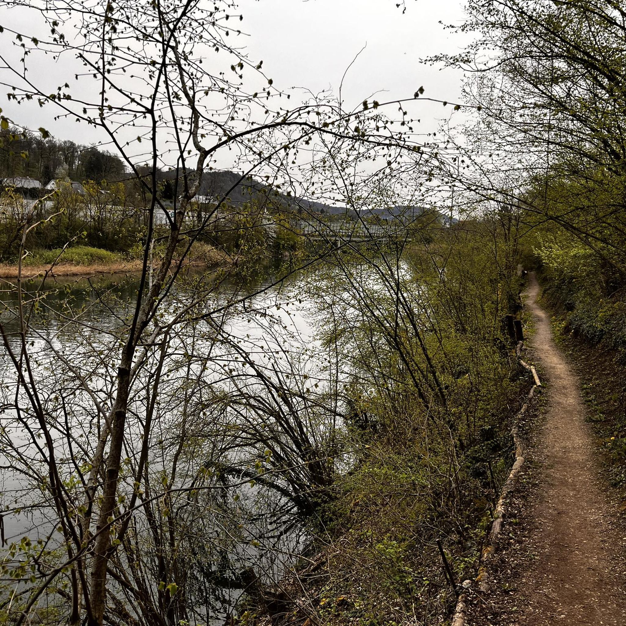
Forested ridge of the Heitersberg with the inconspicuous summit stone at 787 m above sea level. A quiet, nature-close spot away from grand views – perfect for a short pause and to enjoy the silent forest atmosphere.
10
0
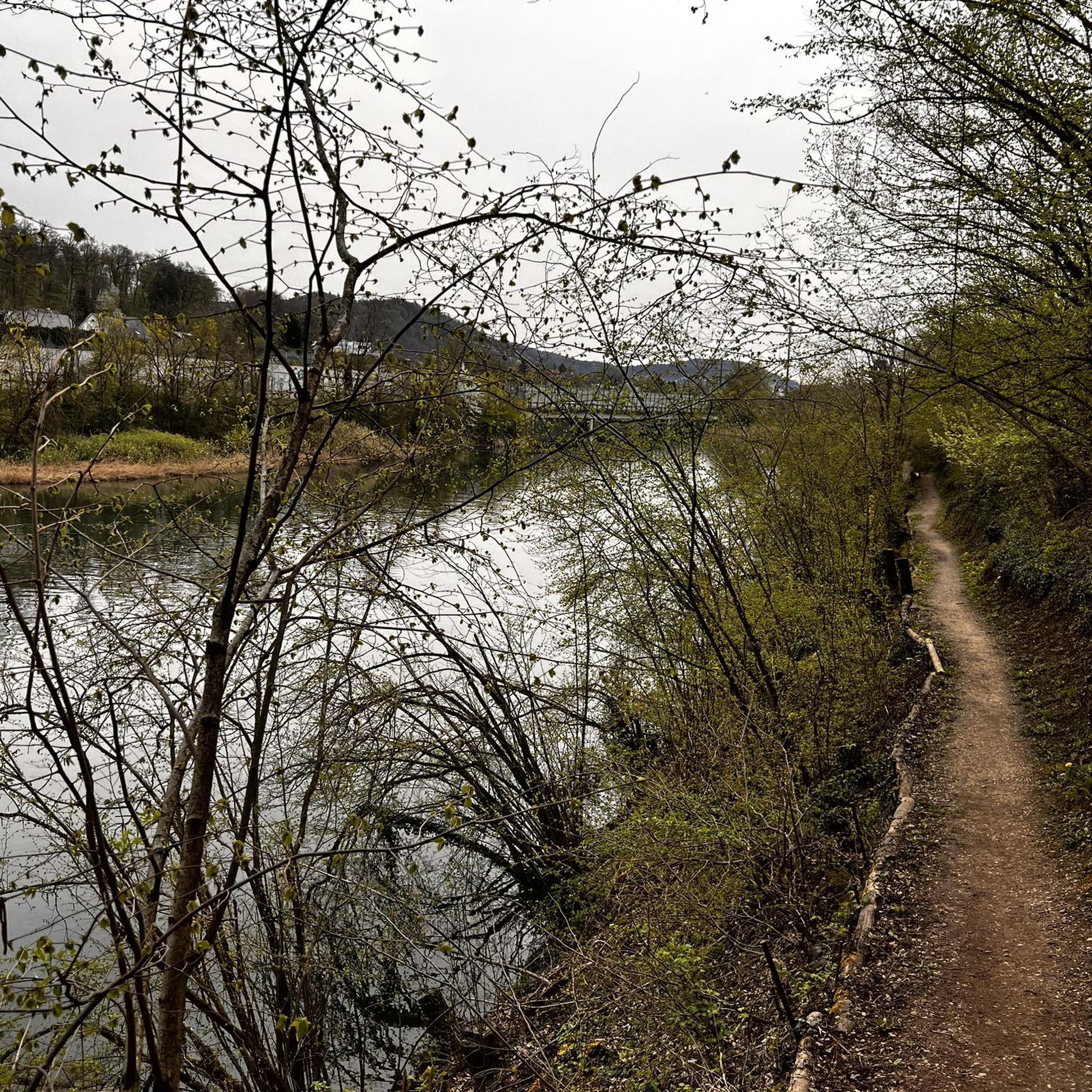
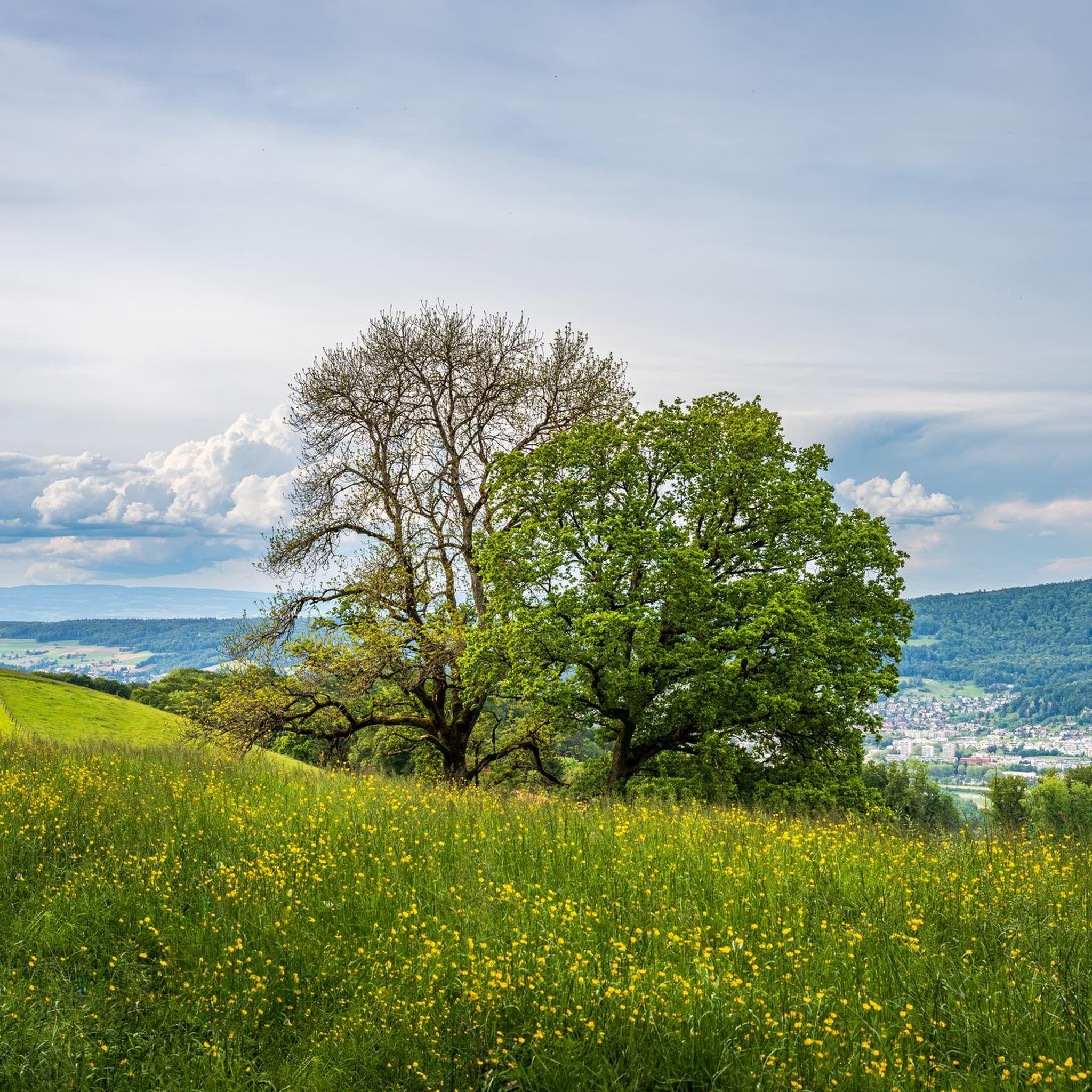
At 859 meters, the Burghorn is the highest point on the Lägerngrat. From here, you can enjoy spectacular panoramic views: to the south over the Limmat Valley to the Alps 🏔️, and to the north into the Surb Valley and the Aargau Jura 🌳 – a perfect place for a break with a view!
10
0

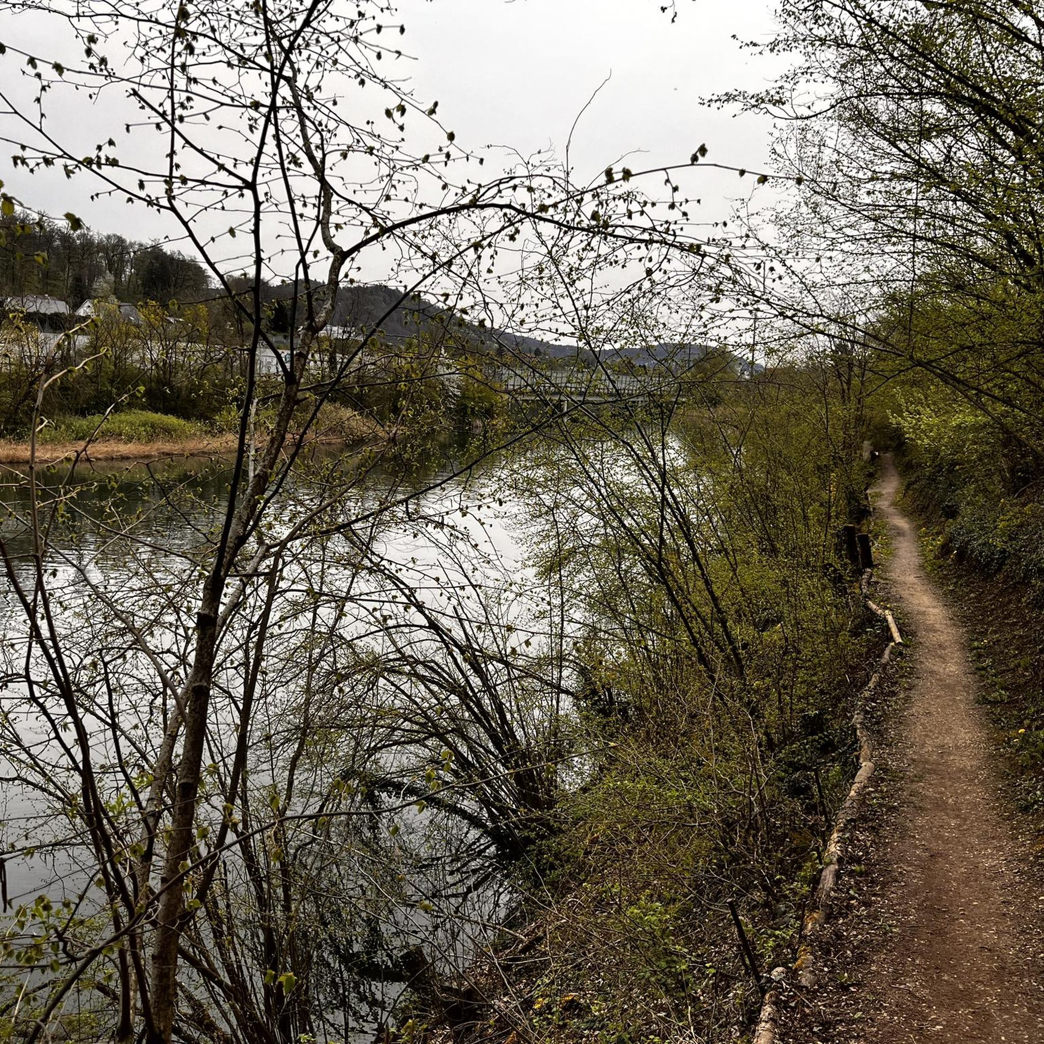
Sulperg is a small mountain with a height of 514 m above sea level. The upper part of the mountain is wooded, has a barbecue area with seating, a chapel dedicated to the Virgin Mary and a cross.
1
0

Dreihägen has, figuratively speaking, changed a lot, more transparent and brighter, many trees have been cut down
0
0


A top view after a few flights of stairs to the tower
1
0

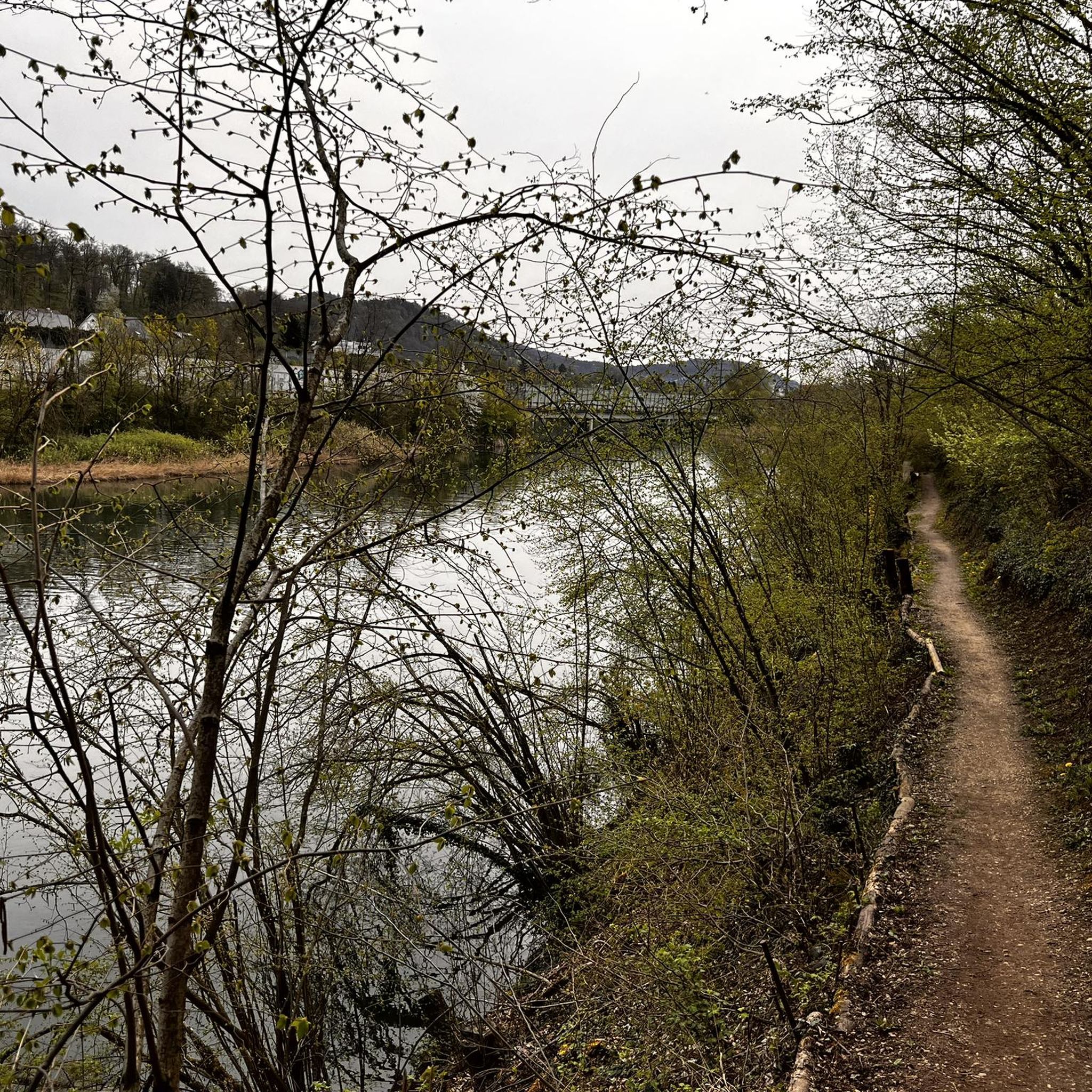
A super nice flowing single trail that really puts you in a good mood to drive.
2
0
Nice trails and for a break from id Beiz🍺✌️
2
0
Frequently Asked Questions
What are some of the most popular elevated areas or viewpoints to visit around Killwangen?
The most popular elevated areas and viewpoints include the Altberg Observation Tower, which offers breathtaking views of the warehouses, Zurich, and the Alps. Another must-see spot is Burghorn on the Lägerngrat, providing panoramic views of the Limmat Valley and the Alps. The Sennenberg ridge, the highest point within Killwangen, also offers expansive views.
Where can I find panoramic views of the Limmat Valley and beyond near Killwangen?
For expansive views, head to the Burghorn on the Lägerngrat, where you can see the Limmat Valley, the Alps, and the Aargau Jura. The Altberg Observation Tower also provides stunning vistas. Additionally, the Sennenberg ridge offers panoramic views of the Limmat Valley and glimpses of the Alps on clear days.
Are there family-friendly hiking options around Killwangen's elevated areas?
Yes, the Burghorn viewpoint is noted as family-friendly. The Waldlehrpfad Killwangen (Forest Nature Trail) is also an excellent option for families, spanning approximately 2.6 km with a moderate elevation difference and featuring a fire pit for breaks.
What kind of natural features can I explore in the Killwangen area?
The Killwangen area is characterized by the Sennenberg ridge, which is the highest point in the municipality. It lies on the wooded northeastern slope of the Heitersberg, offering extensive forests. The Limmat Valley itself is a prominent natural feature, and the region boasts diverse trees, hedges, and shrubs, especially along the Waldlehrpfad Killwangen.
Are there specific hiking trails recommended for exploring the elevated areas near Killwangen?
Yes, the Waldlehrpfad Killwangen (Forest Nature Trail) is a well-regarded path that brings the beauty of the forest closer to the public. For more general hiking, you can explore routes like the 'Altberg Observation Tower – View of the Limmat Valley loop from Killwangen-Spreitenbach', which is a moderate 12.6 km hike. You can find more hiking options on the Hiking around Killwangen guide.
What is the highest point in Killwangen and what does it offer?
The highest point within Killwangen is the Sennenberg ridge, reaching an elevation of 702 meters (2,303 feet) above sea level. While not an alpine peak, it provides significant elevation change from the Limmat River and offers expansive panoramic views of the Limmat Valley and, on clear days, even glimpses of the Alps.
Are there any challenging mountain trails or technical sections for experienced hikers?
Yes, for those seeking more technical sections, the Highest point of Dottikon Dreihägen (549 m above sea level) features a rooted, rough, and lush vegetated trail known for its technical sections, suitable for improving skills.
What outdoor activities, besides hiking, can I do near the mountain peaks around Killwangen?
Beyond hiking, the area offers opportunities for running and gravel biking. You can find various running routes, such as the 'Senneberg Trail loop from Neuenhof', on the Running Trails around Killwangen guide. For gravel biking, explore routes like the 'View of the Limmat River – Limmat River loop from Killwangen-Spreitenbach' on the Gravel biking around Killwangen guide.
Are there any places to rest or get refreshments near the viewpoints?
Yes, near the Altberg Observation Tower, you'll find the Waldschänke, which is open daily (except Tuesdays) and offers refreshments. At Burghorn, a bench is available for a promising break while enjoying the views.
What is the best time to visit the elevated areas around Killwangen for clear views?
While specific seasonal recommendations are not provided, the region research indicates that panoramic views from the Sennenberg ridge and other elevated points are best enjoyed 'on clear days'. Therefore, visiting during periods of good weather, typically spring through autumn, will maximize your chances of experiencing the best vistas.
Can I bring my dog on trails near the mountain peaks in Killwangen?
Yes, some areas are dog-friendly. For instance, the Burghorn viewpoint is categorized as dog-friendly, making it a suitable spot to visit with your canine companion.
What is the 'Waldlehrpfad Killwangen'?
The Waldlehrpfad Killwangen is a forest nature trail designed to educate the public about the local forest environment. It's approximately 2.6 km long with a 110-meter elevation difference, featuring around 30 signposted trees and small signs guiding visitors through diverse forest vegetation. A fire pit halfway along the trail offers a relaxing break spot.
Most popular routes around Killwangen
Most popular attractions around Killwangen

Get inspired with the komoot mobile app


Explore more
See even more amazing summits around Killwangen with these guides:
