Top 11 Lakes around Weidatalsperre
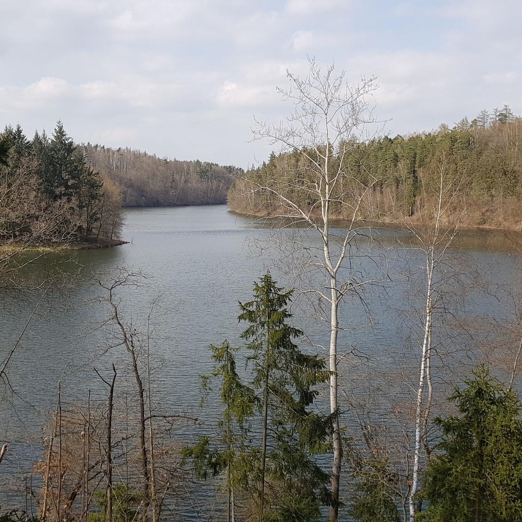
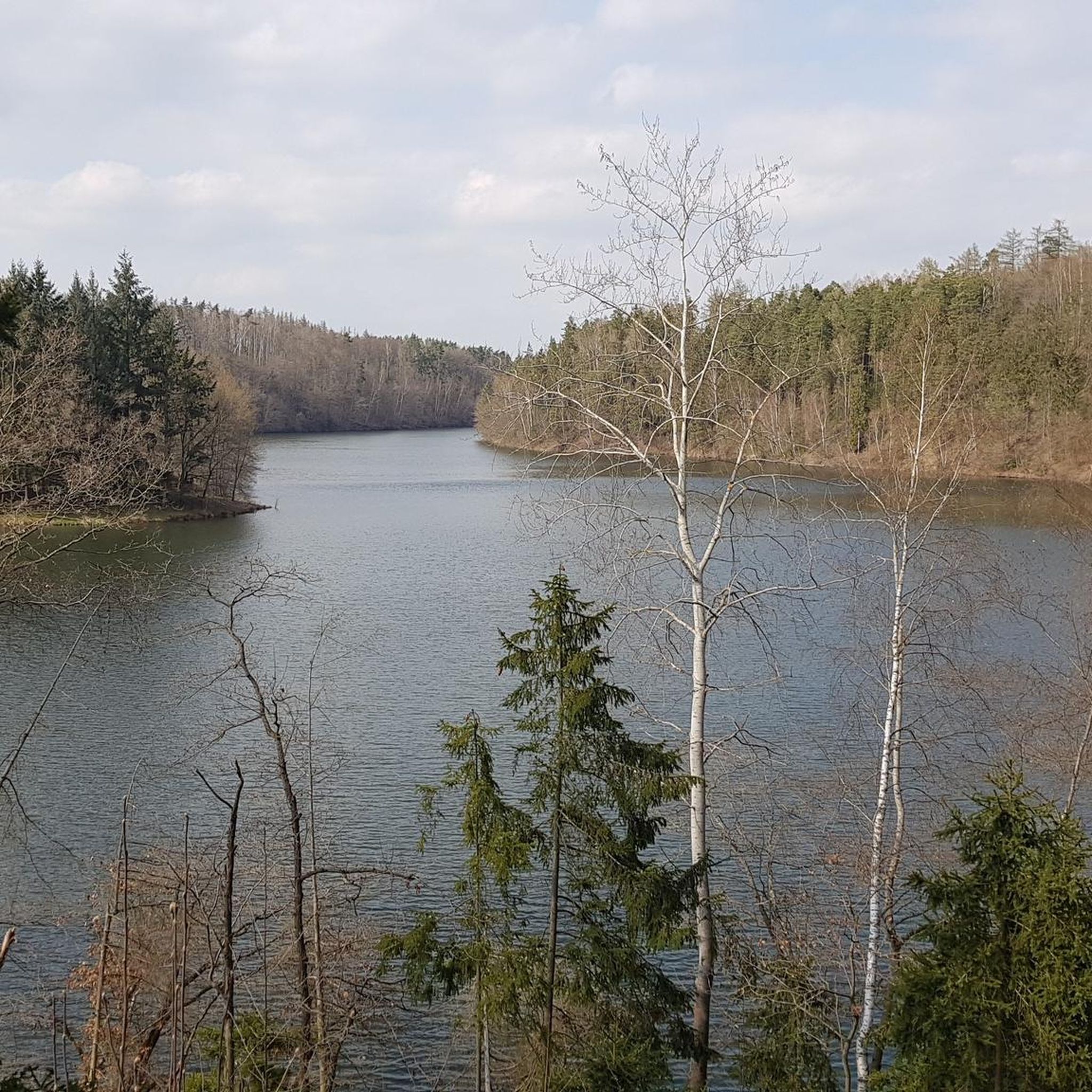
Lakes around Weidatalsperre are primarily centered around the Weidatalsperre reservoir, a significant body of water in the Vogtland region of eastern Thuringia, Germany. This reservoir, situated at 292 meters elevation, serves for flood protection and water regulation within the picturesque Thuringian Slate Mountains. The area is characterized by gentle hills and dense forests, offering scenic beauty and opportunities for outdoor activities.
Best lakes around Weidatalsperre
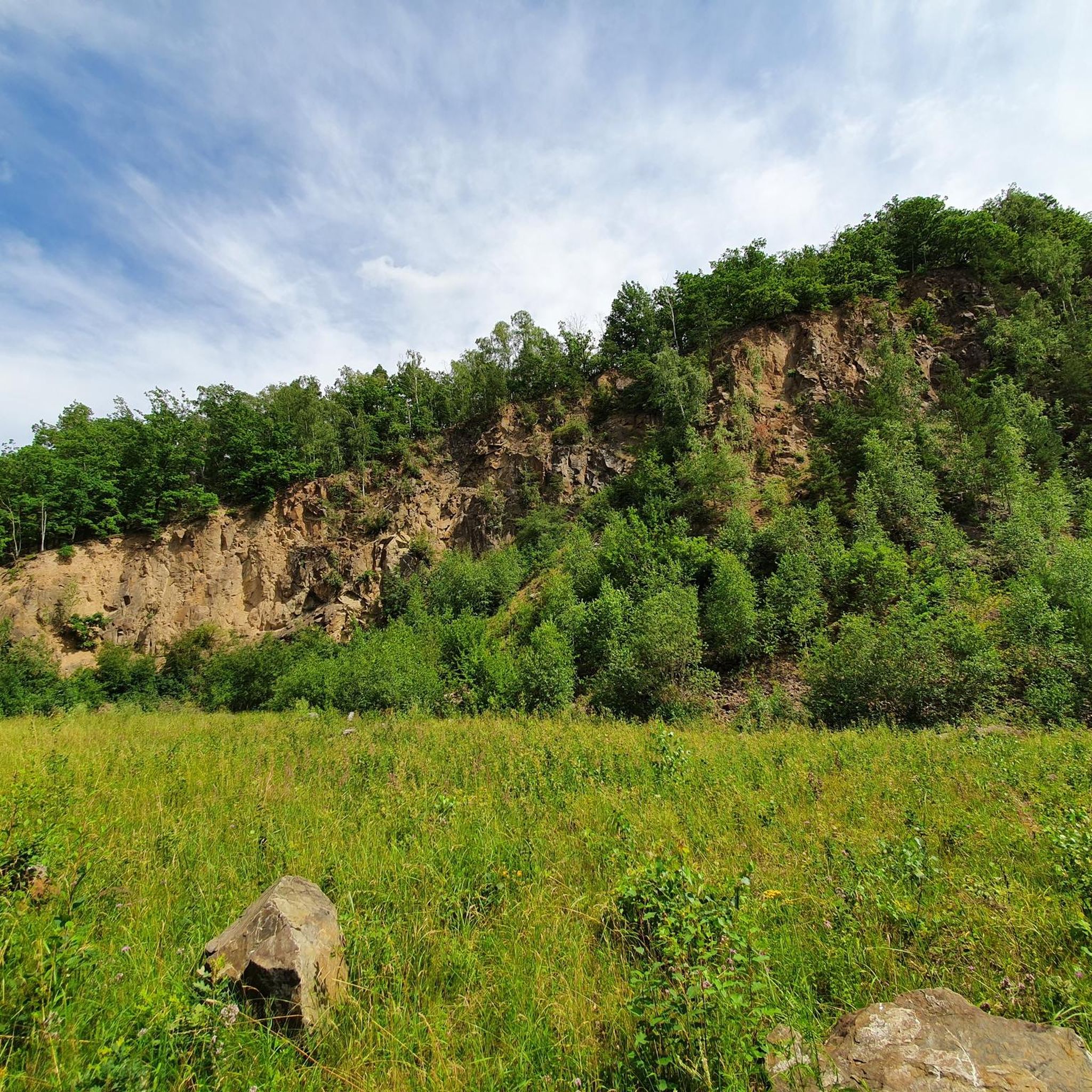
- The most popular lakes is Pisselsmühle Forebay, a lake that serves as a meeting…
Last updated: October 29, 2026
Pisselsmühle Forebay
Highlight • Lake
Translated by Google •
Tip by

Weidatal Dam Spillway with Cascades
Highlight • Structure
Translated by Google •
Tip by

Sign up now to discover places like this
Get recommendations on the best single tracks, peaks, & plenty of other exciting outdoor places.
Weidatal Dam Wall near Staitz
Highlight • Monument
Translated by Google •
Tip by
Rest area with a view of the Weidatalsperre
Highlight • Rest Area
Translated by Google •
Tip by
Narrow Trail Along the Talsperre in Vogtland
Highlight • Trail
Translated by Google •
Tip by

Sign up for free to discover even more lakes around Weidatalsperre.
Already have an account?
Start today with a free account
Your next adventure awaits.
Tips from the Community

A wonderful destination and highly recommended
0
0

Beautiful forest path, view of the water depending on the vegetation
0
0

The dam is 167m long and 25m high. It was put into operation in 1955.
8
0
You could take a shortcut along the dam path via the Pisselsmühle fore-dam. Great views on both sides.
9
0
The dam is 167m long and 25m high. The Weida Dam was put into operation in 1955. Beautiful vantage point 🤩.
9
0
The circuit around the dam could be shortened via the Pisselsmühle fore-dam.
8
0
The overflow structure is very impressive and has a cascading design.
8
0

This was put into operation in 1955.
11
0
Frequently Asked Questions
What outdoor activities can I do around the Weidatalsperre?
The Weidatalsperre region is excellent for various outdoor activities, particularly hiking and cycling. You'll find numerous trails suitable for all skill levels. For specific routes, you can explore options like hiking around Weidatalsperre, gravel biking, or MTB trails.
Where can I find the best panoramic views of the Weidatalsperre?
For breathtaking panoramic views, consider visiting the designated vantage point at the Weidatal Dam Wall near Staitz. Other popular spots include Grobisch, known for its 'Schöner Blick' (beautiful view), and the 'Blick ins Tal' observation tower, which offers far-reaching perspectives across the landscape, even extending to parts of the Erzgebirge mountains.
Is the Weidatalsperre area suitable for families?
Yes, the Weidatalsperre is considered family-friendly. Many paths are accessible, offering ample space for leisurely walks and easy strolls. Highlights like the Pisselsmühle Forebay and the Weidatal Dam Spillway with Cascades are also categorized as family-friendly.
What is the historical significance of the Weidatalsperre?
The Weidatalsperre was originally constructed between 1949 and 1956 to serve as a drinking water supply. Today, its primary functions are flood protection and regulating low water levels in the region.
Are there opportunities for water sports or swimming at Weidatalsperre?
Extensive water sports are generally not permitted directly on the Weidatalsperre reservoir. However, for those seeking additional water-based activities, the nearby Zeulenrodaer Meer offers further opportunities for water sports, and other reservoirs like Talsperre Zeulenroda and Talsperre Pöhl provide summer swimming options.
What are the typical terrain and difficulty levels of trails around Weidatalsperre?
The trails around Weidatalsperre vary in difficulty, catering to all levels from easy family-friendly strolls to more challenging longer routes. For instance, you can find easy hiking routes like the 'View of Weidatalsperre – View of the Weida Reservoir loop from Staitz' (7.29 km) or more difficult gravel biking routes such as the 'Schöne Höhe Observation Tower – Wooden Swing Shelter Rest Area loop from Triebes' (44.42 km).
How long does it take to hike around the Weidatalsperre?
Hiking durations vary depending on the chosen route. For example, an easy loop like 'View of Weidatalsperre – View of the Weida Reservoir loop from Staitz' is about 7.29 km. Longer, more challenging routes will naturally take more time. The Pisselsmühle Forebay offers a way to shorten the main dam circuit if you're looking for a quicker walk.
Are there any facilities or rest areas available along the trails?
Yes, there are facilities and rest areas. For example, the Rest area with a view of the Weidatalsperre provides a small bench on the bank, offering a pleasant spot to take a break and enjoy the reservoir views.
What natural features can I observe in the Weidatalsperre region?
The region is characterized by gentle hills and dense forests, offering a tranquil escape. You can observe local flora and fauna in the natural environment surrounding the reservoir. The Weidatal Dam Spillway with Cascades is also a notable natural feature, showcasing the impressive overflow structure.
What should I know about visiting the Weidatalsperre in late 2024?
As of autumn 2024, renovation work is ongoing at the Weidatalsperre, which involves a gradual lowering of the water level. It is advisable to check current conditions before your visit to ensure the best experience.
Are there any less crowded alternatives to the main Weidatalsperre area?
While the Weidatalsperre itself offers tranquility, if you're looking for other options, the region boasts other reservoirs like Talsperre Zeulenroda and Talsperre Pöhl, which provide additional hiking trails and summer swimming options.
Can I bring my dog on the trails around Weidatalsperre?
Generally, dogs are welcome on most hiking trails in the Weidatalsperre area, provided they are kept on a leash and owners clean up after them. Always respect local signage regarding pet restrictions, especially in nature protection zones or specific facilities.
Most popular routes around Weidatalsperre
Most popular attractions around Weidatalsperre

Get inspired with the komoot mobile app


Explore more
Still not found your perfect lake around Weidatalsperre? Check out the guides of these regions to see even more beautiful places.
