The best walks and hikes around Kronweiler
4.5
(5645)
18,540
hikers
566
hikes
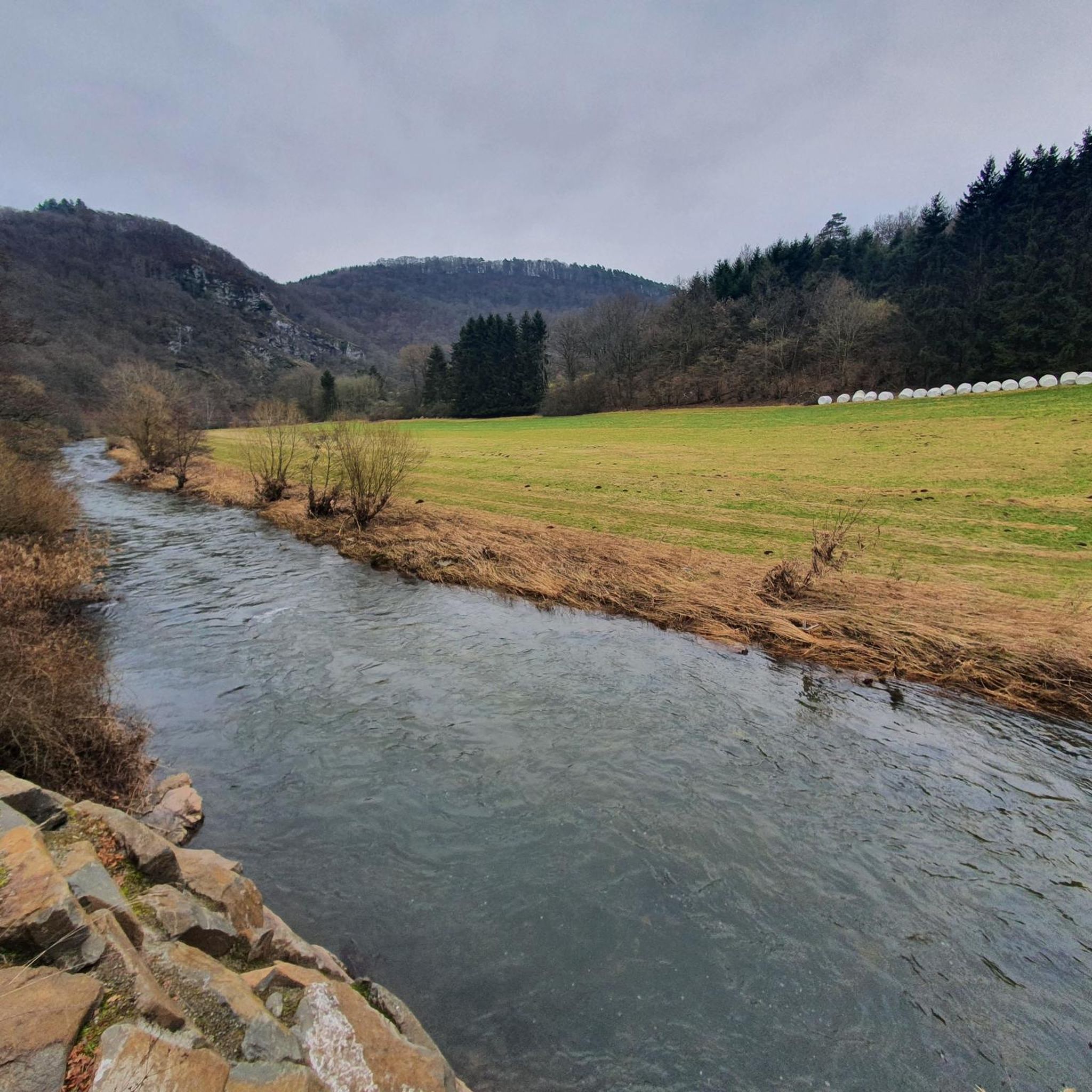
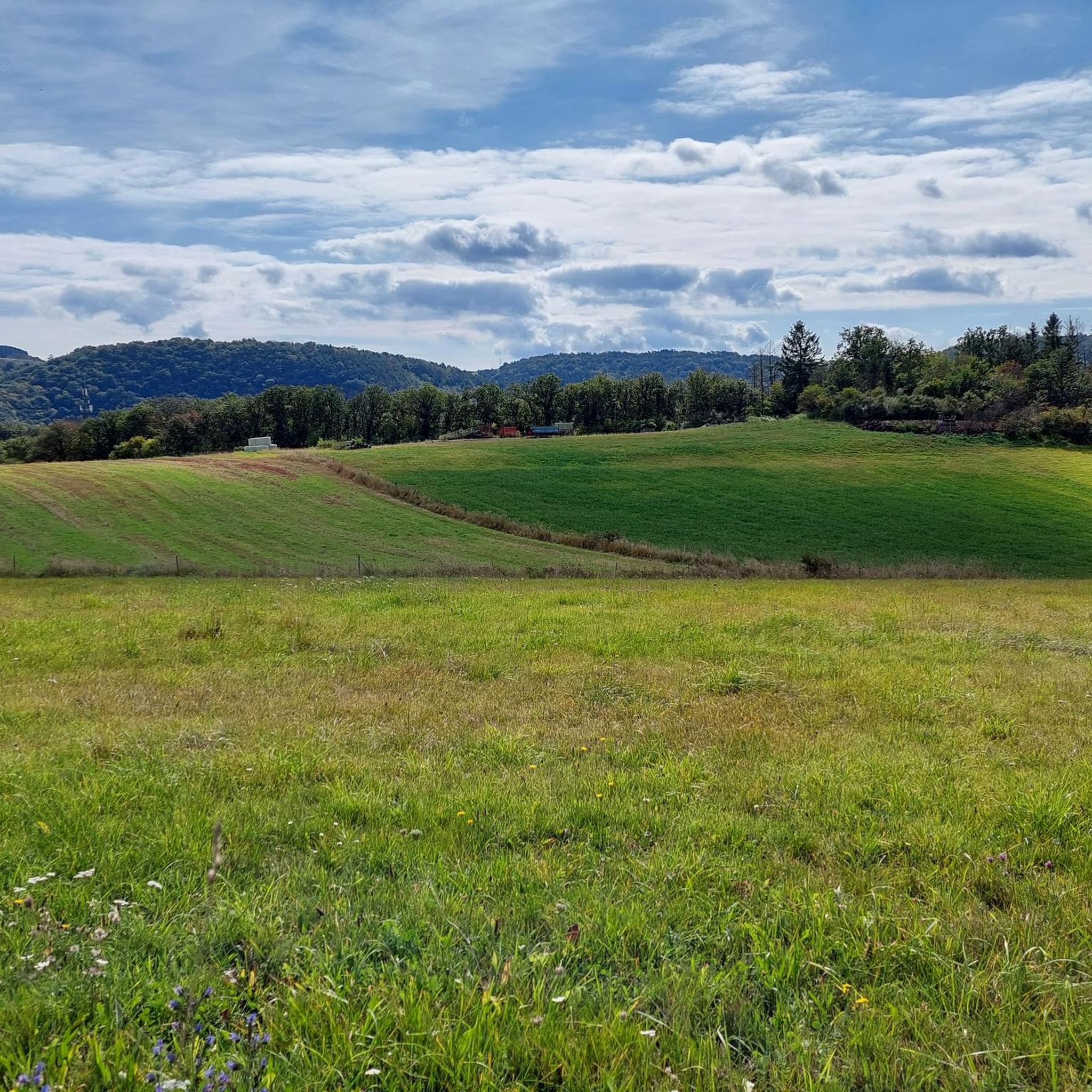
Hiking around Kronweiler offers diverse terrain characterized by rolling hills and dense forests. The region is shaped by the Nahe River, which meanders through mountains and rock formations, providing scenic paths. The long-distance Nahesteig trail also features impressive rock formations and elevated viewpoints. This landscape provides a varied environment for outdoor activities.
Best hiking trails around Kronweiler
- The most popular hiking route is View of Frauenburg Castle – Kaiserallee on the Nahekopf loop from Sonnenberg-Winnenberg, a 7.5 miles (12.1…
Last updated: August 23, 2026
4.8
(288)
968
hikers
Moderate hike. Good fitness required. Mostly accessible paths. Sure-footedness required.
4.7
(27)
79
hikers
12.2km
03:31
290m
290m
Moderate hike. Good fitness required. Mostly accessible paths. Sure-footedness required.

Sign up for free
5.0
(7)
31
hikers
Easy hike. Great for any fitness level. Easily-accessible paths. Suitable for all skill levels.
4.1
(8)
17
hikers
Moderate hike. Good fitness required. Easily-accessible paths. Suitable for all skill levels.
4.6
(8)
11
hikers
8.04km
02:13
140m
140m
Moderate hike. Good fitness required. Easily-accessible paths. Suitable for all skill levels.
Get access to more routes and recommendations from other explorers.
Sign up for free
Already have an account?
Our route recommendations are based on thousands of hikes, rides, and runs completed by other people on komoot.
Start today with a free account
Your next adventure awaits.
Login or Signup

Tips from the Community

Beautiful hut in Roman style, quite nice
0
0
Very cool spot, unfortunately the bench is no longer the newest
0
0
The path along the Ellenbach to the Kaiserallee has a good climb
0
0
Imposing small gorge... or ditch :-D
0
0
Unfortunately, not much of it is left, but you can get well informed via the display
0
0
Unfortunately, there are many in our region
0
0
Unfortunately very dry at the moment and not much to see... I'll come back when more water is flowing
0
0
Frequently Asked Questions
What kind of landscapes can I expect to see while hiking around Kronweiler?
Kronweiler offers a diverse landscape characterized by rolling hills and dense forests. The scenic Nahe River meanders through mountains and rock formations, providing picturesque paths. You can also find impressive rock formations and elevated viewpoints, especially along sections of the long-distance Nahesteig trail. The area around Kammerwoog Reservoir and Nature Reserve is another beautiful spot where the river winds through mountains and rocks.
How many hiking trails are available in the Kronweiler area?
There are over 570 hiking trails around Kronweiler, catering to various preferences and skill levels. This includes a wide selection of easy, moderate, and challenging routes to explore the region's natural beauty.
Are there any family-friendly hiking options in Kronweiler?
Yes, Kronweiler offers several child-friendly routes, some even featuring playgrounds. The diverse trail network ensures there are suitable options for families looking to enjoy the outdoors together.
What are the best times of year to go hiking in Kronweiler?
Spring and autumn are considered the best seasons for hiking in Kronweiler. During these times, nature displays vibrant colors, and the climate is mild, making it ideal for long walks and enjoying the scenic beauty without extreme temperatures.
What historical sites or natural landmarks can I discover on the trails?
Hikers can encounter various historical buildings along the Nahe River, such as an old mill and Kronenburg Castle. The region also features natural landmarks like the Teufelsgraben and the Kammerwoog Reservoir and Nature Reserve. For panoramic views, consider visiting the Hattgenstein Observation Tower.
Are there circular hiking routes available around Kronweiler?
Yes, many of the trails in Kronweiler are designed as loops, allowing you to start and end your hike in the same location. An example is the View of Frauenburg Castle – Kaiserallee on the Nahekopf loop from Sonnenberg-Winnenberg, which offers views of the Nahe valley.
Can I bring my dog on the hiking trails in Kronweiler?
Generally, dogs are welcome on hiking trails in the Kronweiler region. It's always recommended to keep your dog on a leash, especially in nature reserves or areas with wildlife, and to respect local regulations.
What do other hikers enjoy most about the trails in Kronweiler?
The hiking trails in Kronweiler are highly rated by the komoot community, with an average score of 4.5 stars from over 4900 reviews. Hikers often praise the varied terrain, the scenic beauty of the Nahe River, and the well-maintained paths that lead through dense forests and rolling hills.
Is public transport available to access hiking trails in Kronweiler?
Yes, sections of the long-distance Nahesteig trail, which runs through the area, are accessible via train stations, making it convenient for individual tours using public transport.
Are there any trails that feature waterfalls?
Yes, the region has trails that lead to scenic water features. For example, the Nahe Riverbank Path – Small Waterfall loop from Kronweiler is a popular route that takes you along the scenic Nahe River and past a small waterfall.
What are the typical difficulty levels for hiking trails in Kronweiler?
The hiking network around Kronweiler offers a range of difficulty levels. You can find easy, moderate, and difficult trails, ensuring there's something suitable for every hiker, from casual walkers to experienced trekkers. Over 320 easy routes and 230 moderate routes are available.
Most popular routes around Kronweiler
Most popular attractions around Kronweiler

Get inspired with the komoot mobile app


Explore more
Browse the best Hikes in other regions.
