The 4 Most Amazing Peaks around Ragogna
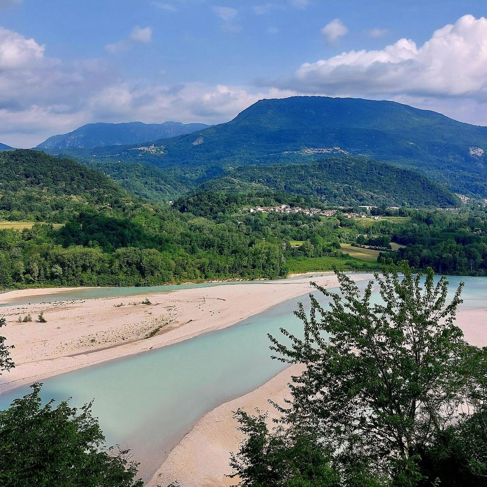
Mountain peaks around Ragogna offer a diverse landscape shaped by the Tagliamento River and its surrounding hills. The region is characterized by elevations like Monte di Ragogna, which features varied forests and panoramic views of the Friulian plain. Historically significant, the area played a crucial role in World War I, with remnants of fortifications still visible. These natural features provide numerous opportunities for hiking trails and outdoor exploration.
Best mountain peaks around Ragogna
- The most popular mountain peaks is Monte…
Last updated: June 29, 2026
Monte di Buia
Highlight • Settlement
Translated by Google •
Tip by

The Muro di Ragogna
Highlight • Climb
Translated by Google •
Tip by

Sign up now to discover places like this
Get recommendations on the best single tracks, peaks, & plenty of other exciting outdoor places.
Sign up for free
Monte Davanti
Highlight • Summit
Translated by Google •
Tip by

Monte Pala da Ropa di Pradis
Highlight • Summit
Translated by Google •
Tip by

View of Calitri Historic Center and Monte Pizzo di San Lorenzo
Highlight (Segment) • Viewpoint
Translated by Google •
Tip by

Sign up for free to discover even more peaks around Ragogna.
Sign up for free
Already have an account?
Start today with a free account
Your next adventure awaits.
Login or Signup
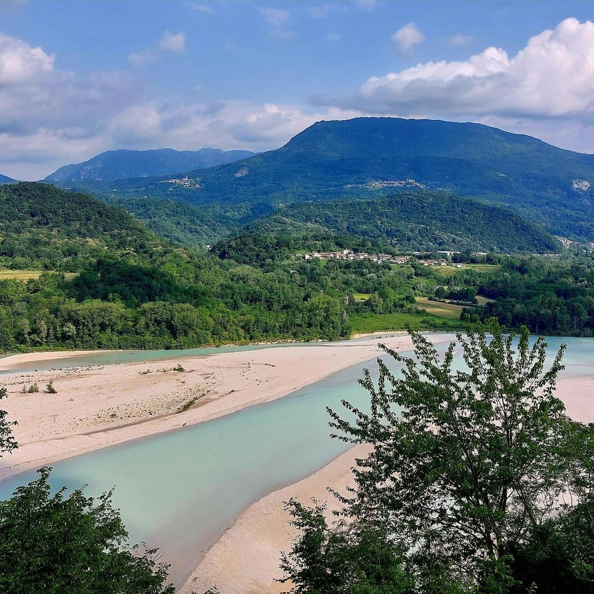
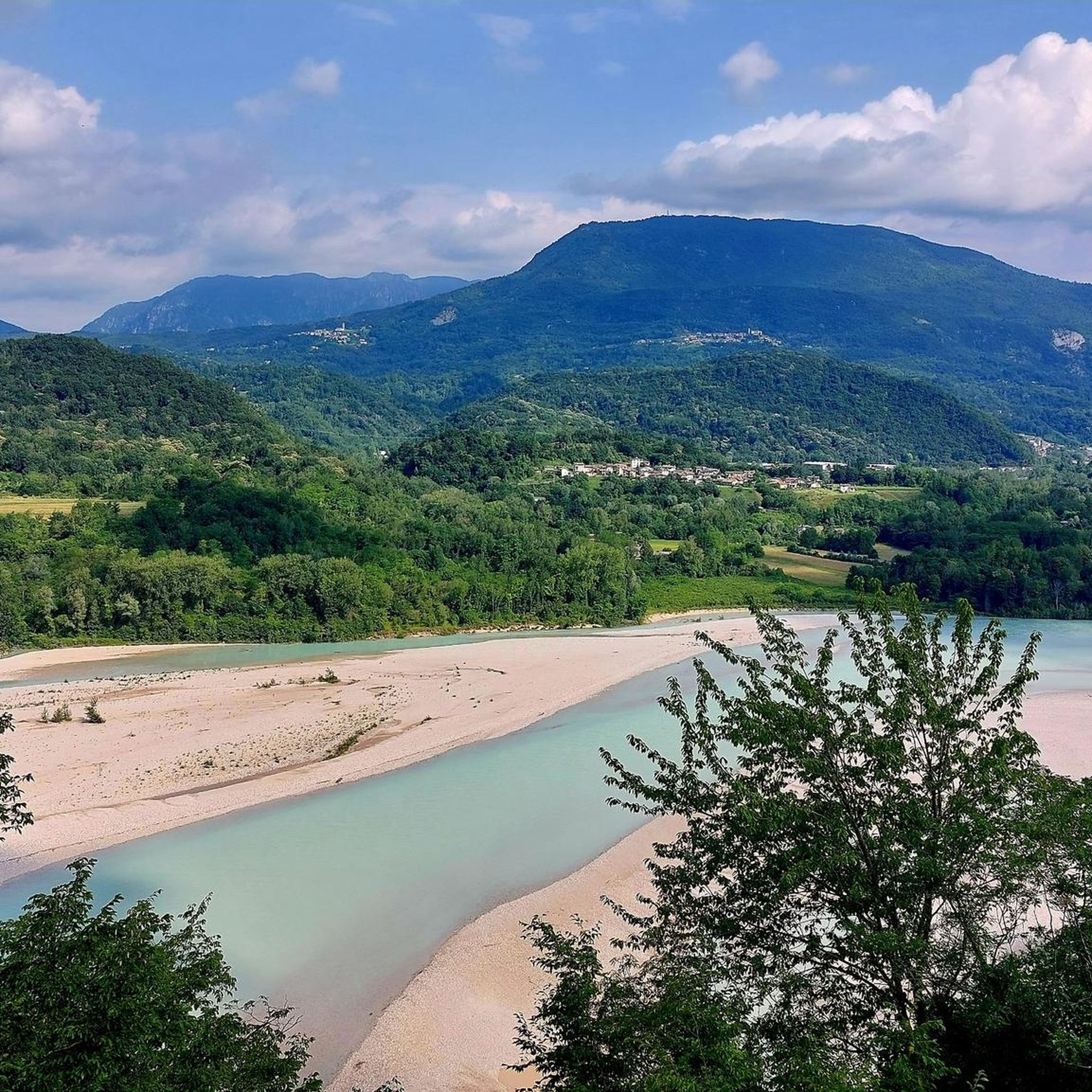
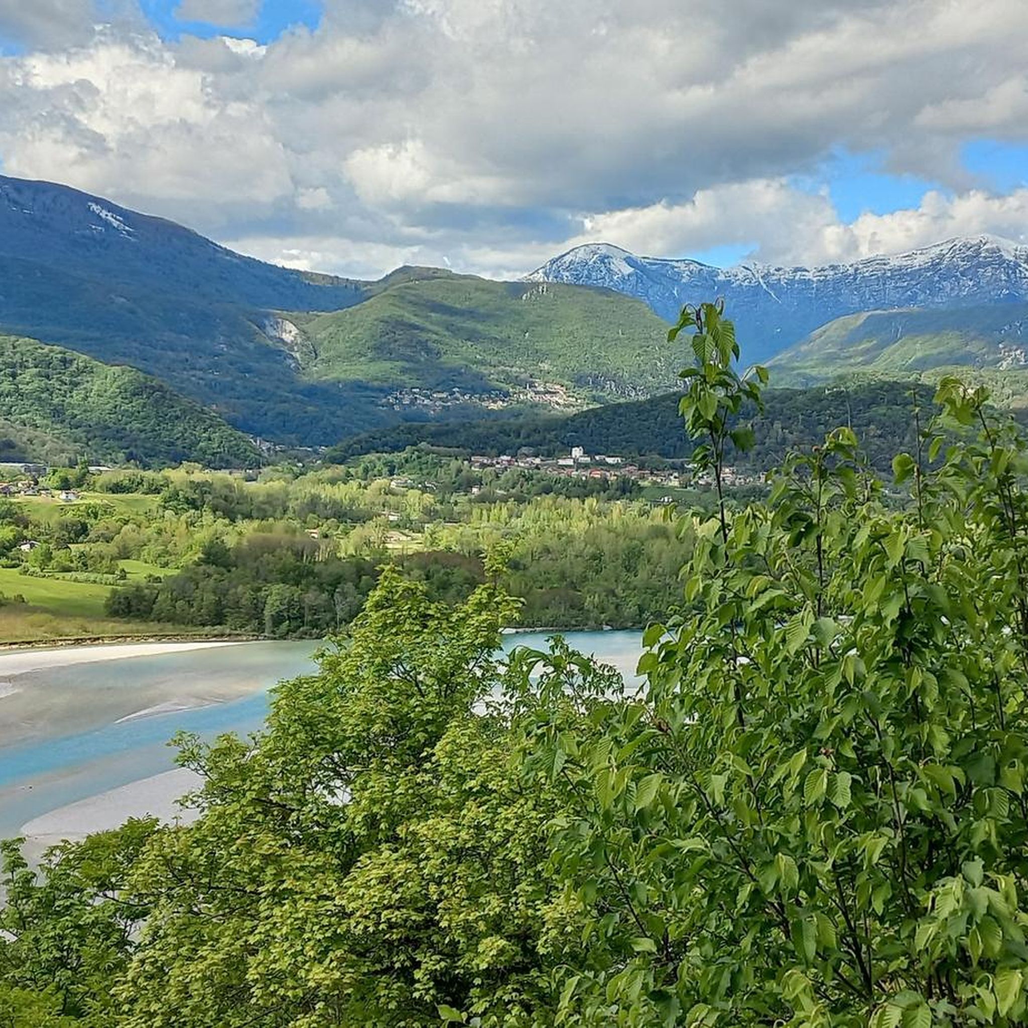
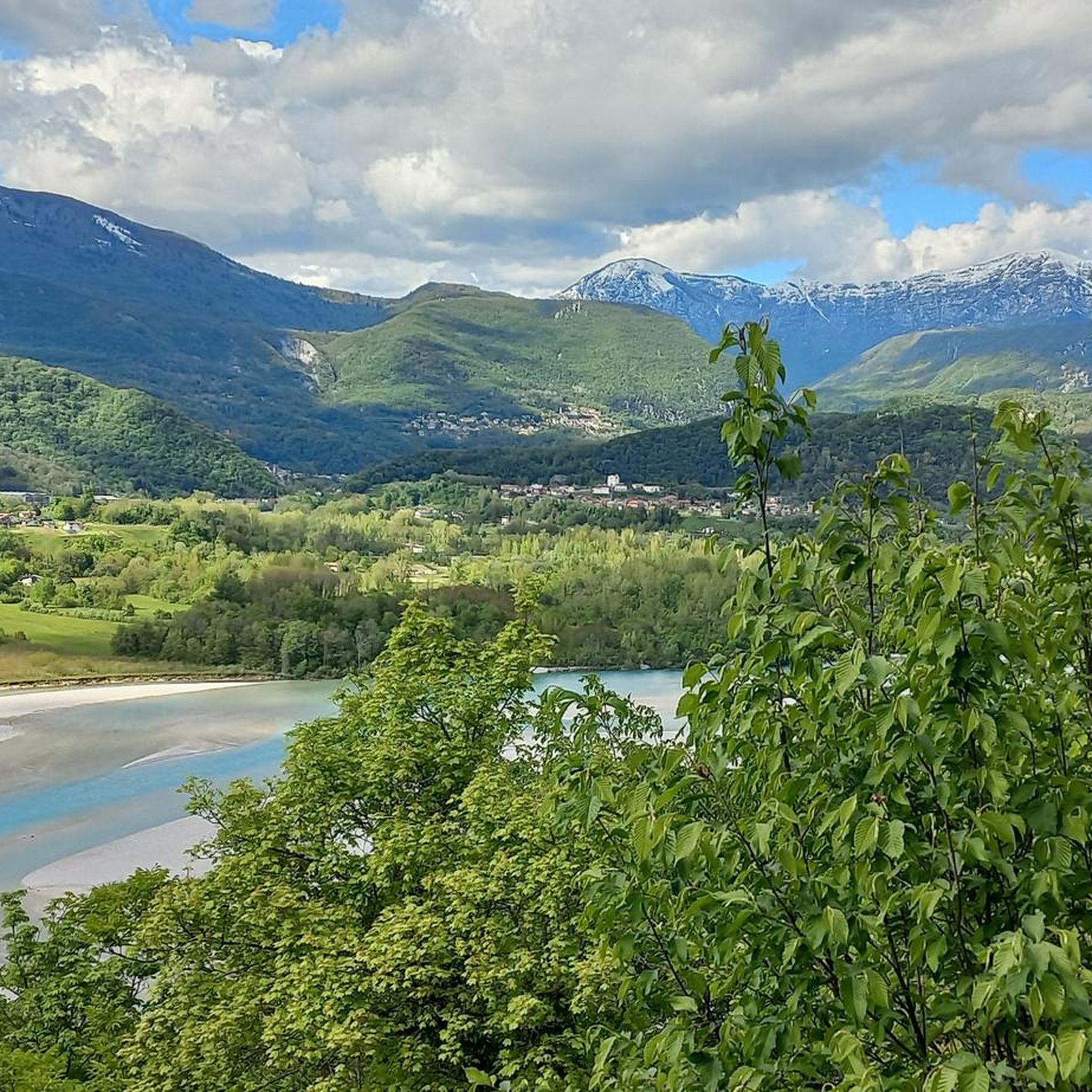

Tips from the Community

The church sits enthroned on the summit of Monte Buja. The buildings on Monte Buja resemble a small medieval fortress and have evidently been lovingly preserved and restored. Those who enjoy typical Italian mountain villages will find what they're looking for up here. The functioning water station is particularly valuable for cyclists.
0
0

Easily accessible, this peak enjoys a good position for a beautiful view of the Friulian plain.
0
0

Monte Davanti and a modest elevation of 950m. of the Valinis, Cjaurlez group.
1
0
Beautiful panoramic peak that on clear days allows you to see the Adriatic Sea and the Gulf of Trieste.
1
0


Don't be discouraged by the climb always immersed in the woods. You will be rewarded with a beautiful panorama at the top.
3
0
Even if it is historical... the ascent and descent take you into the emotional world of the Giro d'Italia.
0
0

The relief called "Monte di Buia" rises in the high central Friuli plain, dominated by the chains of the Julian and Carnic Pre-Alps. It is the highest of the three hills that characterize the Buja area, and is in turn made up of three peaks called, from east to west, "Mont di Zoc" (322 m), "San Laurinz" (325 m), “San Bastian” (335m). The parish church of San Lorenzo is located on the homonymous hill, in the center of the system; on the eastern hill remain the remains of a medieval fort ("Cjscjelàt"), while on the western one the site of the castle can be identified, near which the demolished church of San Sebastiano once stood. A plateau extends to the west of the parish, occupied by the agglomeration of houses that make up the hamlet of "Monte". Monte di Buia appears as a "three-pointed" natural relief, with an east-west orientation. The oldest traces of a human settlement are located in the "Pidicuel" locality, a valley located between the southern slopes of the mountain and the Pravìz hill. Over the decades, hundreds of flint tools (tools, scrapers, scrapers, burins, blades, arrows...), ceramic fragments and building materials that refer to a prehistoric settlement have been recovered during agricultural work in this area. There is also news of further finds of similar lithic objects in the arable land near Buja. Taken from ArcheocartaFVG https://www.archeocartafvg.it/portfolio-articoli/buja-ud-monte-di-buja-insediamenti-vari/
1
0
Frequently Asked Questions
What are some of the most popular mountain peaks to visit around Ragogna?
The region offers several rewarding peaks. Monte Pala da Ropa di Pradis is highly appreciated for its beautiful panorama after a climb through the woods. Another must-see is Cima Flagjel, known for its expansive, panoramic views and a significant summit cross. Monte Davanti also provides excellent views of the Friulian plain, extending to the Adriatic Sea on clear days.
Are there any historical sites or significant landmarks on the mountain peaks near Ragogna?
Yes, the most prominent historical site is **Monte di Ragogna** itself, which played a crucial strategic role during World War I. You can explore remnants of its fortified complex, including permanent gun positions, underground depots, and trenches. The area also features the "Museo della Grande Guerra di Ragogna" and the nearby Castle of Ragogna, which offers further historical context.
What kind of views can I expect from the mountain peaks in the Ragogna area?
From peaks like Monte di Ragogna, you can expect remarkable panoramic views of the Tagliamento River, the surrounding hills, and the vast Friulian plain. On clear days, these vistas can extend to the distant mountains and even the Adriatic Sea and the Gulf of Trieste from higher points like Monte Davanti.
What outdoor activities can I do near these mountain peaks?
The area around Ragogna is excellent for various outdoor activities. You can enjoy hiking on trails like the 'Las Cenglis Military Trail' or the 'Route of the Fortified Complex on Monte di Ragogna'. Cycling is also very popular, with challenging routes such as 'The Muro di Ragogna' loop. For more options, explore the hiking routes around Ragogna or the cycling routes around Ragogna.
Are there family-friendly mountain walks around Ragogna?
Yes, there are easier routes suitable for families. For instance, the 'Jewish cemetery – Lake Ragogna loop' is an easy hiking option. While Monte di Ragogna offers varied terrain, some sections of its historical trails are manageable for families. Always check the specific trail difficulty before heading out.
What is the best time to visit the Ragogna mountains for hiking?
The best time to visit for hiking is generally during the spring and autumn months when the weather is milder and the natural scenery is vibrant. Summer can also be pleasant, especially in the mornings or late afternoons, though some trails might be more exposed to the sun. Winter hiking is possible, but requires appropriate gear and checking trail conditions, as some areas might have snow or ice.
Are there any challenging climbs for experienced cyclists in the Ragogna area?
Absolutely. Monte di Ragogna is a renowned cycling destination, famous for its challenging ascent. It features a 2.8-kilometer climb averaging a 10.1% grade with sections reaching 13.2%, and has even been included in the Giro d'Italia. You can find more challenging routes in the road cycling guide for Ragogna.
Can I find trails that offer a mix of nature and history?
Yes, Monte di Ragogna is an excellent example. The 'Monte di Ragogna WWI Trail (CAI 813)' allows you to explore trenches and fortified positions while enjoying the natural beauty of the forests. The "Anello del Monte di Ragogna" is another recommended loop hike that combines splendid views with historical insights.
What kind of natural features can I observe on the mountain peaks around Ragogna?
The mountain peaks, particularly Monte di Ragogna, are characterized by diverse landscapes. You'll find forests of black pine, Scots pine, cypress, beech, chestnut, and hazelnut trees. The area also boasts diverse seasonal flora and offers opportunities to observe local wildlife, making it a rich ecological environment.
Where can I find panoramic viewpoints that are easily accessible?
While many peaks offer views after a climb, View of Calitri Historic Center and Monte Pizzo di San Lorenzo offers a fun and panoramic stretch between the plain and the Carnic and Julian pre-Alps. Monte di Ragogna also has several belvederes along its ridge that provide stunning vistas without requiring a strenuous ascent to the very top.
Are there any hidden gem hikes in the Ragogna mountain peaks area?
While not explicitly 'hidden,' exploring the lesser-known paths on Monte di Buia can offer a unique experience. Monte di Buia features a village dominated by the Pieve di San Lorenzo and remnants of a medieval fort, providing a blend of nature, history, and local charm away from the more frequented spots.
Most popular routes around Ragogna
Most popular attractions around Ragogna

Get inspired with the komoot mobile app


Explore more
See even more amazing summits around Ragogna with these guides:
