The 4 Most Amazing Peaks around Martina Franca
Best mountain peaks around Martina Franca are found within the gentle rolling hills of the Itria Valley in Puglia, Italy. The town itself is situated on a hill at an average elevation of 392 meters, with its highest point reaching 431 meters. This area is characterized by a landscape of olive groves, vineyards, and the iconic trulli dwellings, offering diverse and scenic routes for exploration. Natural reserves like Bosco delle Pianelle provide well-marked hiking trails with panoramic views of the Taranto Plain and the Gulf of Metaponto.
Best mountain peaks around Martina Franca
- The most popular mountain peaks is View of the Olive Plains and Sea from Monte Pizzuto, a viewpoint from whose top you can see the plain of centuries-old olive trees down to the sea. This is one of the most evocative viewpoints in the area.
- Another must-see spot is View of Pezze di Greco, Torre Canne, Fasano, and Savelletri from Monte Pizzuto, a panoramic point at about 370 meters above sea level. From here, visitors can observe several surrounding towns and coastal areas.
- Visitors also love Mount Pizzuto, a summit and the highest point of Monte Pizzuto. It is a viewpoint and starting point for paragliding launches, offering views of the Fasano plain.
- Martina Franca is known for its accessible summits and scenic viewpoints within a hilly landscape. The area offers a variety of natural features to explore, including Monte Fellone and the higher points of Monte Pizzuto.
- The mountain peaks around Martina Franca are appreciated by the komoot community, with 6 photos and 4 upvotes from visitors.
Last updated: July 14, 2026
Mount Fellone
Highlight (Segment) • Summit
Translated by Google •
Tip by

View of Pezze di Greco, Torre Canne, Fasano, and Savelletri from Monte Pizzuto
Highlight • Viewpoint
Completely tested and correct route to avoid interruptions, impracticable segments or covered by vegetation.
It is based on some of my previous MTB excursions, all put together in one lap.
For MTB Enduro lovers, I would like to point out that, having entered the Cisternino wood (the one that leads to the Le Fergole and Piantella Mountains), you can make a small detour at 17.7 km, turning right along the bend that leads up. After a few hundred meters you can take a very fun steep and rocky descent on the right again that ends with a single track that will take you back to the entrance of the forest (if you prefer you can consult the one called "Contrada Chiancarella - among my tracks - Monte Pizzuto - Bosco di Cisternino) I suggest protections and full-face helmet VARIATION RECOMMENDED ONLY FOR EXPERT RIDERS.
Translated by Google •
Tip by

Sign up now to discover places like this
Get recommendations on the best single tracks, peaks, & plenty of other exciting outdoor places.
Sign up for free
View of the Olive Plains and Sea from Monte Pizzuto
Highlight • Viewpoint
Translated by Google •
Tip by

Mount Pizzuto
Highlight • Summit
Translated by Google •
Tip by
View from Monte Gianecchia
Highlight • Viewpoint
Translated by Google •
Tip by
Start today with a free account
Your next adventure awaits.
Login or Signup
Popular around Martina Franca
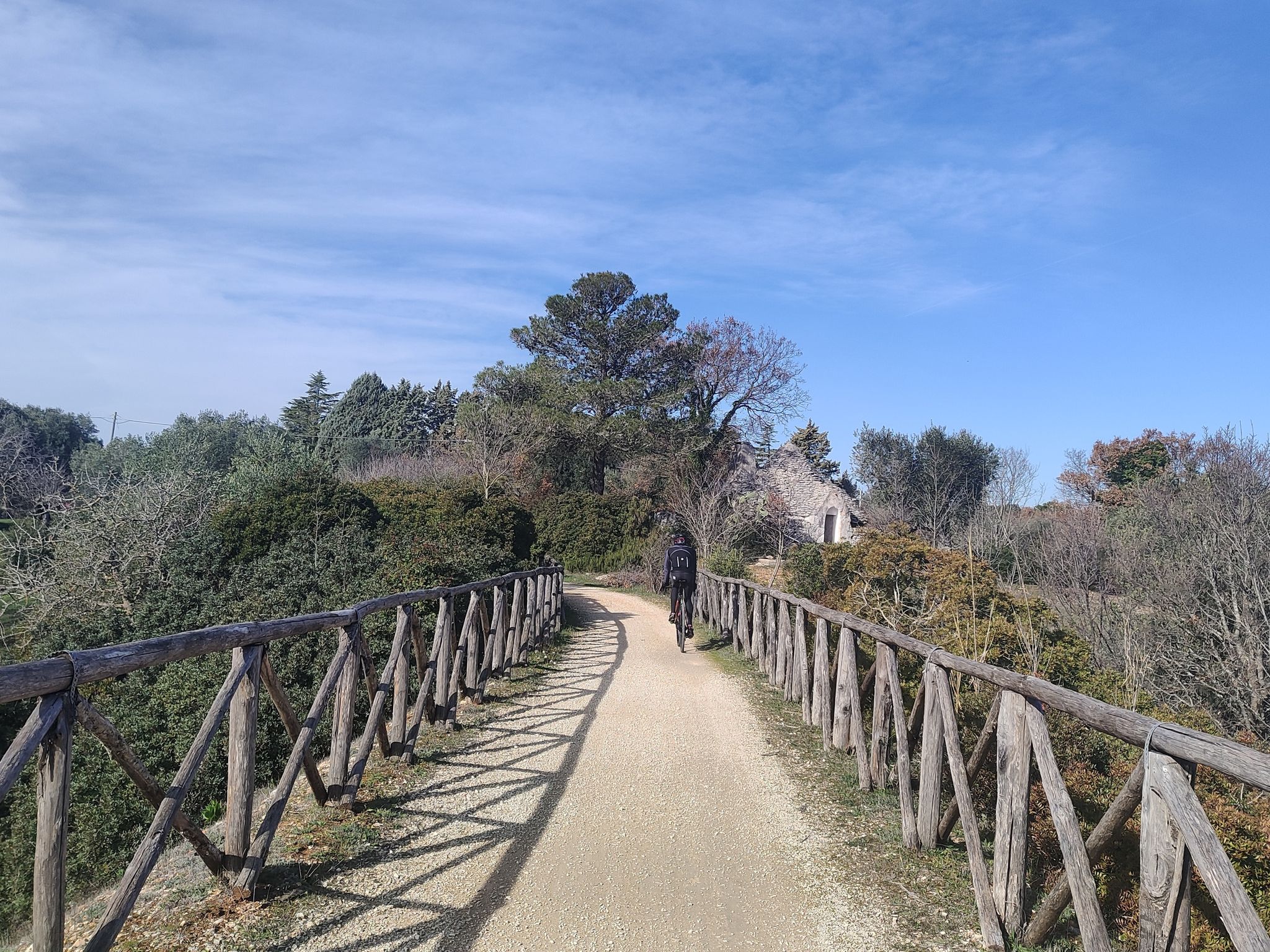
Ciclovia Anello d'oro di Puglia - Viaggio nella Puglia profonda
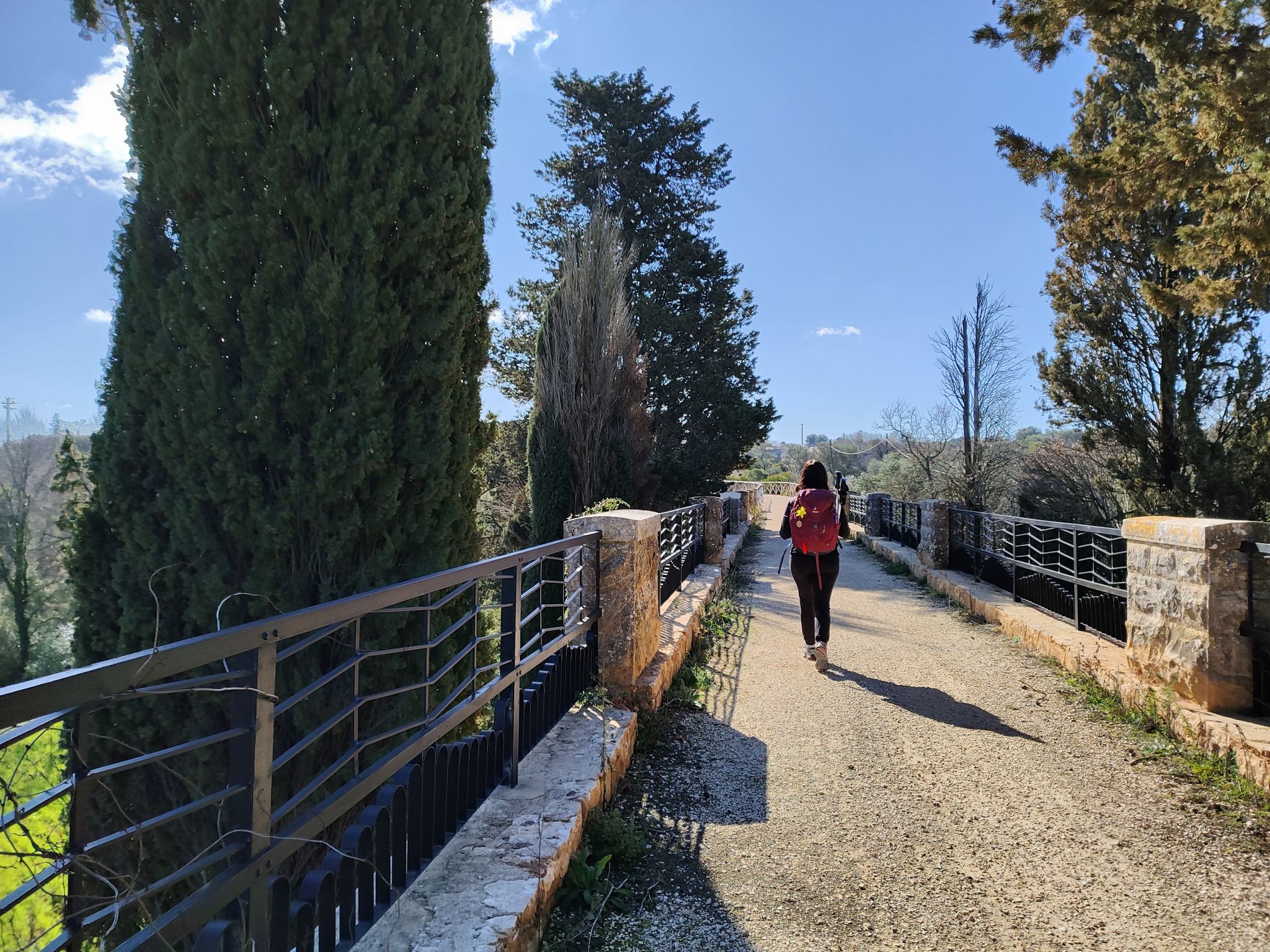
Anello d'oro di Puglia - Trekking nella Puglia profonda
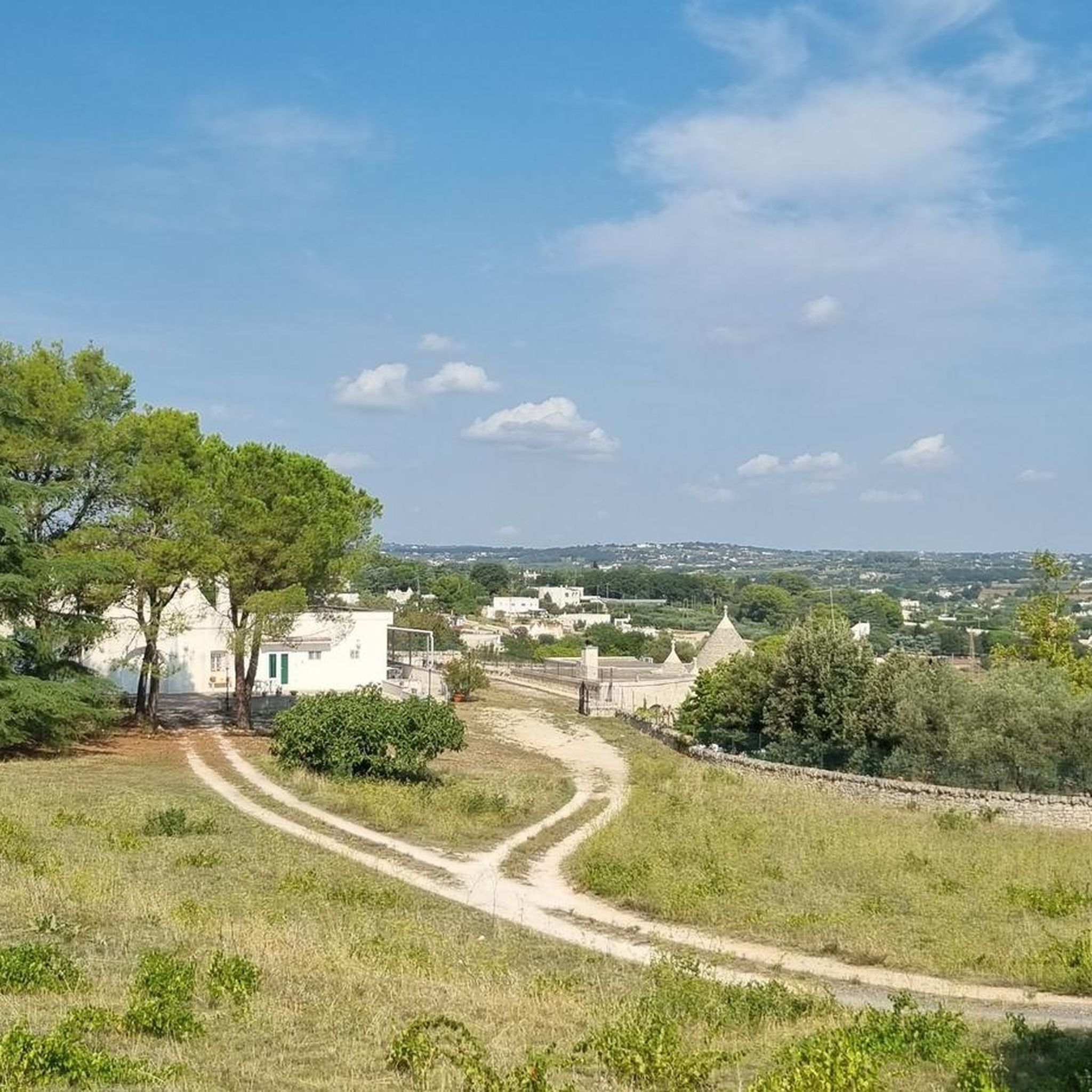
Road Cycling Routes around Martina Franca
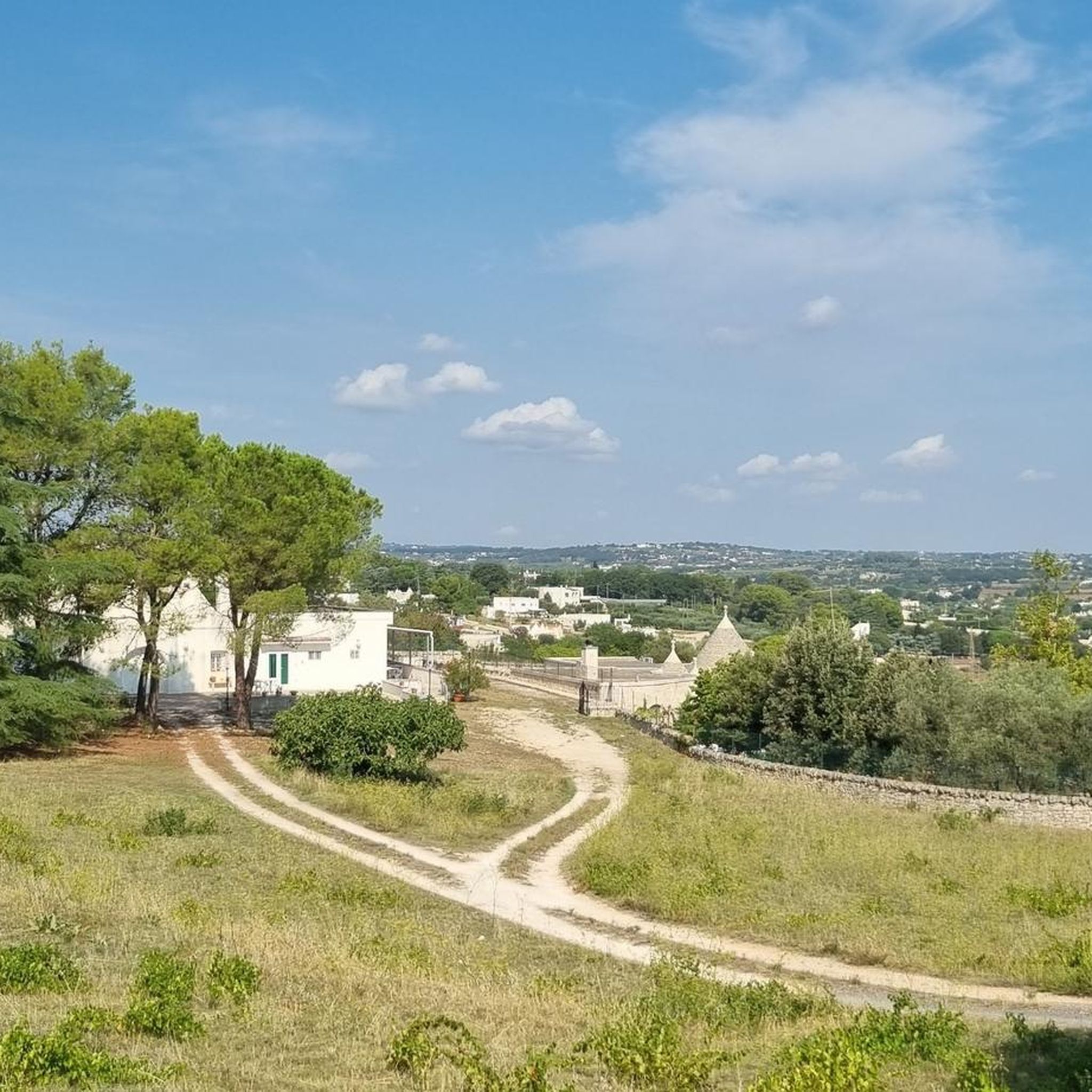
Cycling around Martina Franca
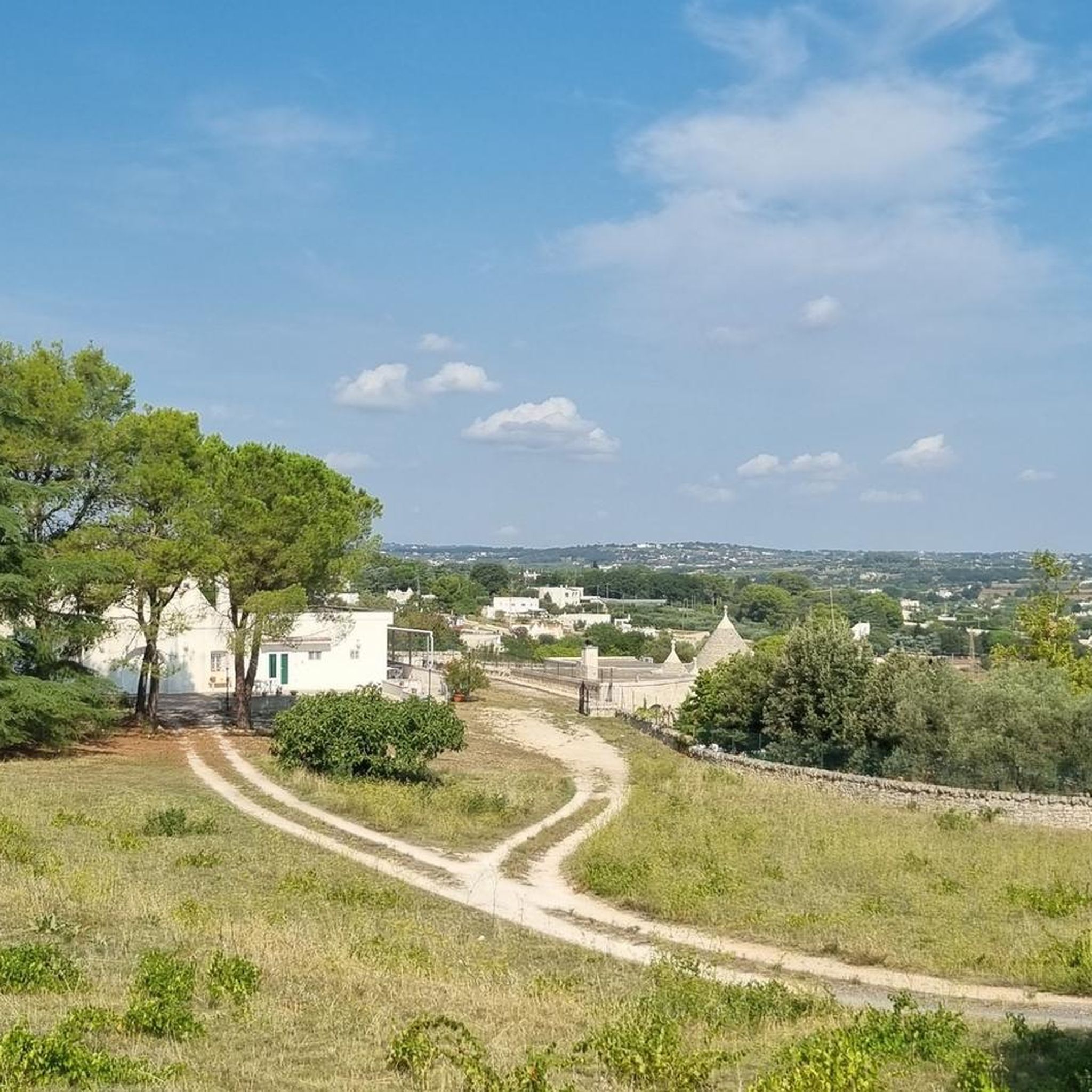
Hiking around Martina Franca
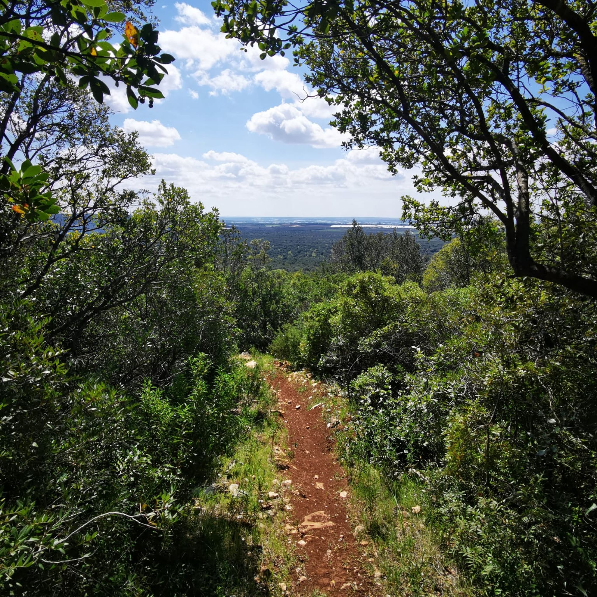
MTB Trails around Martina Franca
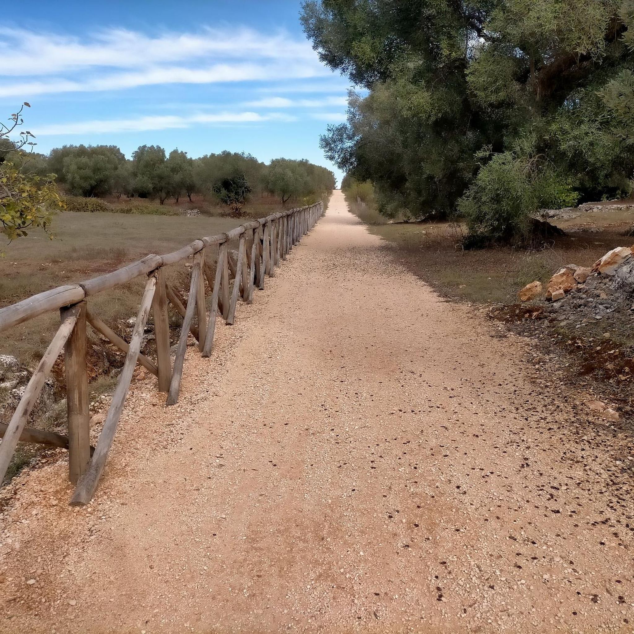
Running Trails around Martina Franca

Gravel biking around Martina Franca

Tips from the Community

Viewpoint, starting point for paragliding launches, reachable via a steep ascent along a rather rough and stony path (at a couple of points I had to put my feet down and walk, but the effort is rewarded by a breathtaking view of the Fasano plain)
0
0

Monte Fellone is a hill in the southern Murge that reaches an altitude of 350 m a.s.l. and it is an integral part of the Messapian threshold that unites the Itria valley and northern Salento. The mountain, located on the border between the provinces of Brindisi and Taranto, includes the territories of the hamlets of Specchia Tarantina, in the municipality of Martina Franca, and of Monte Fellone in the municipality of Villa Castelli. To the north-west there is the Bosco delle Pianelle, the municipal park of Martina Franca; to the east a portion of its territory is included in the territory of Ceglie Messapica.
1
0
The flora consists of stretches of wood and Mediterranean scrub where the cardoncello mushroom grows spontaneously, alternating with olive groves, almond groves and vineyards including Verdeca, Bianco d'Alessano and Primitivo Tarantino
1
0
Panoramas. Thanks to the considerable altitude compared to the surrounding area, in some points it is possible to see, in addition to the surrounding municipalities, in particular Villa Castelli, also the Castle of Oria, Taranto and part of the Ionian Sea.
1
0
Monte Fellone rises together with the hamlet of Specchia Tarantina on the homonymous hill. It is a fraction of the municipality of Martina Franca 15 km away (in the province of Taranto) and Villa Castelli 3 km away (in the province of Brindisi), in a South-West direction at the foot of the hill is the Lama del Fullonese fraction of the municipality of Grottaglie 10 km away. and to the east it borders Monte Scotano in the territory of Ceglie Messapica.
1
0

Panoramic point at about 370 meters above sea level from where you can observe Pezze di Greco Torre Canne Fasano and Savelletri
1
0
Highest point of Monte Pizzuto where telecommunications antennas are located
5
0

This itinerary is for me the most beautiful that you can do in the Itria valley if you are a MTB lover. Completely tested and correct route to avoid interruptions, impracticable segments or covered by vegetation. It is based on some of my previous MTB excursions, all put together in one lap. For MTB Enduro lovers, I would like to point out that, having entered the Cisternino wood (the one that leads to the Le Fergole and Piantella Mountains), you can make a small detour at 17.7 km, turning right along the bend that leads up. After a few hundred meters you can take a very fun steep and rocky descent on the right again that ends with a single track that will take you back to the entrance of the forest (if you prefer you can consult the one called "Contrada Chiancarella - among my tracks - Monte Pizzuto - Bosco di Cisternino) I suggest protections and full-face helmet VARIATION RECOMMENDED ONLY FOR EXPERT RIDERS.
1
0
Frequently Asked Questions
What kind of 'peaks' can I expect to find around Martina Franca?
The area around Martina Franca is characterized by gentle hills and valleys rather than towering mountain peaks. The town itself sits on a hill at an average elevation of 392 meters, with its highest point reaching 431 meters. You'll find picturesque landscapes with rolling hills, olive groves, and vineyards, offering scenic viewpoints and pleasant hikes.
Which are the most notable elevated points or viewpoints near Martina Franca?
Among the notable elevated points, you can explore Mount Fellone, which offers panoramas of the surrounding municipalities, the Castle of Oria, Taranto, and even parts of the Ionian Sea. Mount Pizzuto is another significant point, known for its breathtaking views of the Fasano plain, the olive plains, and the sea. From Monte Gianecchia, you can also enjoy expansive views as it rises on the offshoots of the Murge.
Are there hiking trails suitable for families around Martina Franca?
Yes, the region offers various trails that can be suitable for families, especially those looking for gentle walks through the scenic Itria Valley. While specific 'family-friendly' categories aren't listed for all peaks, the general terrain of rolling hills and natural reserves like Bosco delle Pianelle provides accessible routes for enjoyable family outings. Always check the difficulty of specific routes before heading out.
What natural features and wildlife can I observe on these elevated points?
On elevated points like Mount Fellone, you can find stretches of holm oak wood and Mediterranean scrub. The flora includes spontaneous cardoncello mushrooms, alternating with olive groves, almond groves, and vineyards. The broader Itria Valley is rich in Mediterranean vegetation, and while specific wildlife sightings aren't guaranteed, you can expect to encounter local bird species and small mammals typical of the region's forests and scrublands.
What is the best time of year to visit the peaks and hills around Martina Franca?
The best time to visit the hills and viewpoints around Martina Franca is typically during the spring (April-May) and autumn (September-October). During these seasons, the weather is mild and pleasant for outdoor activities, and the landscapes are particularly vibrant. Summers can be quite hot, making early mornings or late afternoons preferable for hikes, while winters are generally mild but can be damp.
What kind of outdoor activities can I do near these elevated points?
Beyond hiking to viewpoints, the area around Martina Franca is excellent for various outdoor activities. You can find numerous options for running, road cycling, and traffic-free bike rides. For instance, there are several running trails like the "Historic Center of Locorotondo – Martina Franca loop" or road cycling routes such as "The villages of the Valle d'Itria – loop from Martina Franca." You can explore these and more in the Running Trails around Martina Franca, Road Cycling Routes around Martina Franca, and Traffic-free bike rides around Martina Franca guides.
Are there any challenging trails for experienced hikers or mountain bikers?
Yes, for those seeking more challenging experiences, some routes incorporate steeper ascents and rougher terrain. For example, the ascent to Mount Pizzuto can be quite steep and stony. Mountain bikers will find challenging sections, particularly on routes that include the Cisternino wood, with options for steep and rocky descents recommended for expert riders, as mentioned in tips for the View of Pezze di Greco, Torre Canne, Fasano, and Savelletri from Monte Pizzuto.
Can I bring my dog on trails around Martina Franca's elevated areas?
While specific regulations for dog-friendly trails are not detailed for every single path, generally, the natural reserves and rural trails in the Itria Valley are welcoming to dogs, provided they are kept on a leash and owners clean up after them. It's always advisable to check local signage or specific park rules if you plan to visit a designated natural reserve.
What kind of views can I expect from Monte Pizzuto?
From Monte Pizzuto, you can expect truly breathtaking panoramic views. Specifically, from one viewpoint, you can observe towns like Pezze di Greco, Torre Canne, Fasano, and Savelletri. Another evocative viewpoint on Monte Pizzuto allows you to see the vast plain of centuries-old olive trees stretching down to the sea.
Are there any historical or cultural points of interest related to these hills?
While the region is more known for its natural beauty, some elevated points have historical connections. For instance, the toponym for Monte Gianecchia originates from an ancient medieval farmhouse named Gianecla in 1189 documents. Martina Franca itself is renowned for its well-preserved historic center and Baroque architecture, offering a rich cultural experience after exploring the natural landscapes.
What are the typical durations for hikes to these viewpoints?
The duration of hikes varies greatly depending on the specific route and your pace. Many trails in the Itria Valley are suitable for half-day excursions. For example, some of the running and cycling loops mentioned in the nearby guides range from 10 km to over 50 km, indicating that you can find shorter walks to viewpoints or combine them into longer, multi-hour adventures. Always plan your route and consider your fitness level.
Most popular routes around Martina Franca
Most popular attractions around Martina Franca

Get inspired with the komoot mobile app


