The 5 Most Amazing Peaks around Blegny
Best mountain peaks around Blegny are characterized by elevated points and reclaimed slag heaps, offering unique perspectives on the region. Blegny, situated in the province of Liège, Belgium, features a landscape of bocage and woodlands. The area includes significant elevated points such as the spoil tip associated with the UNESCO World Heritage Blegny-Mine. These locations provide opportunities for hiking and exploring the industrial heritage and natural reclamation of the landscape.
Best mountain peaks around Blegny
- The most popular mountain peaks…
Last updated: June 30, 2026
Kattenroth Summit (209 m)
Highlight • Summit
Translated by Google •
Tip by

Côte des Waides from Val-Dieu
Highlight (Segment) • Climb
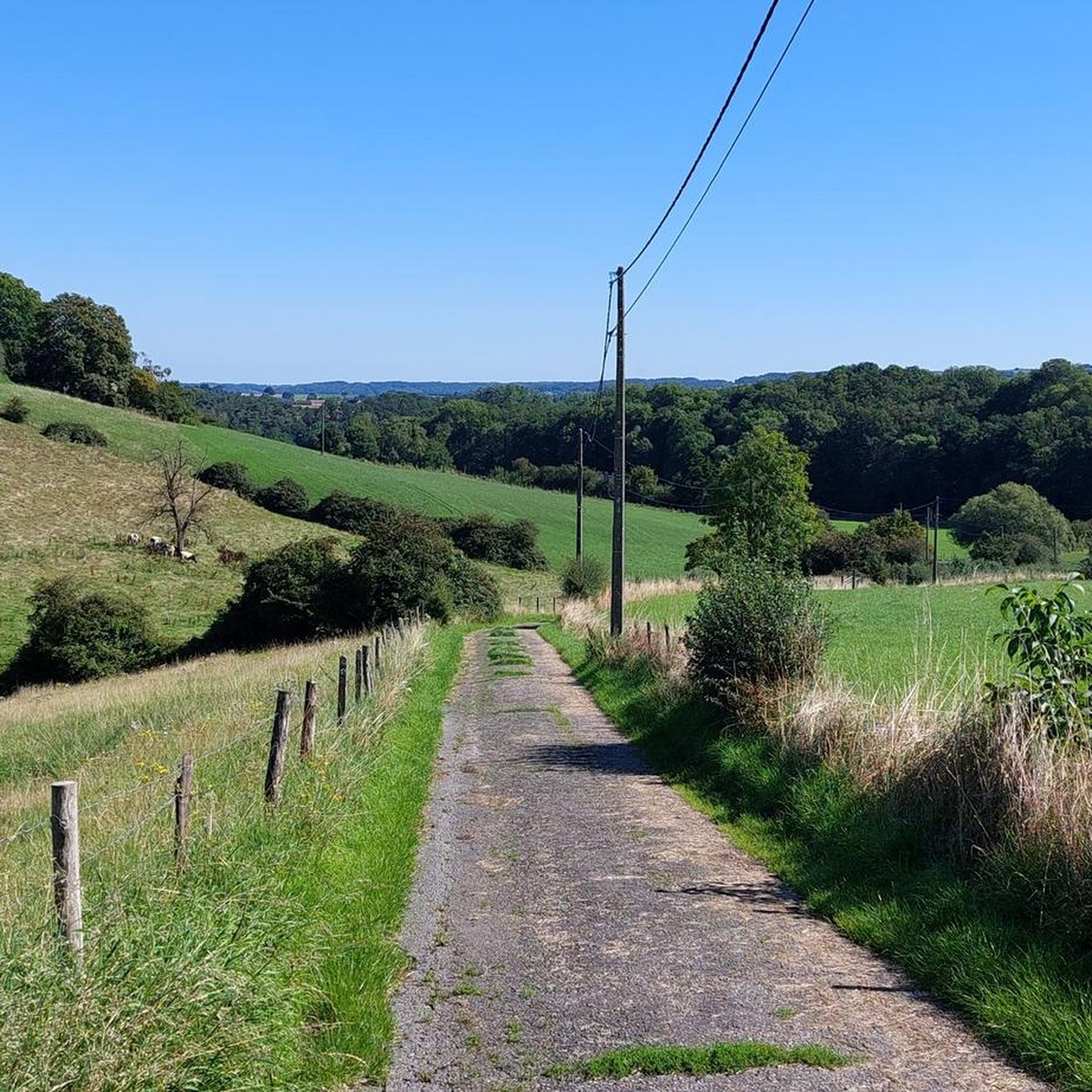
Nice climb over good and bad asphalt. And a tough last 500 meters.
Translated by Google •
Tip by

Sign up now to discover places like this
Get recommendations on the best single tracks, peaks, & plenty of other exciting outdoor places.
Sign up for free
Rue sur Steppes Climb
Highlight (Segment) • Climb
Tip by

Stairs to the Summit of Terril du Hasard
Highlight • Summit
Translated by Google •
Tip by

Haute Folie Climb
Highlight (Segment) • Climb
Translated by Google •
Tip by

Sign up for free to discover even more peaks around Blegny.
Sign up for free
Already have an account?
Start today with a free account
Your next adventure awaits.
Login or Signup


Other adventures around Blegny

Tips from the Community

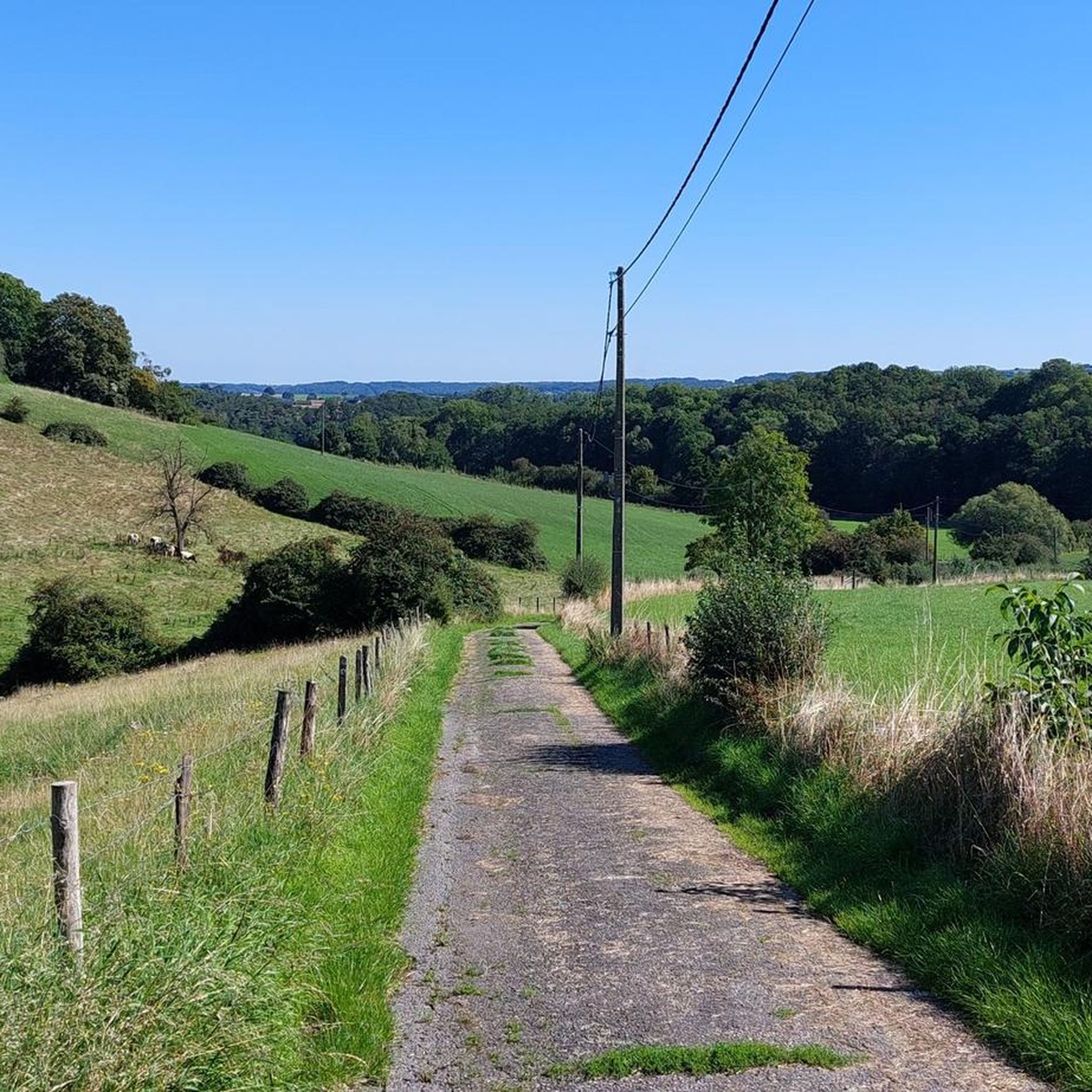
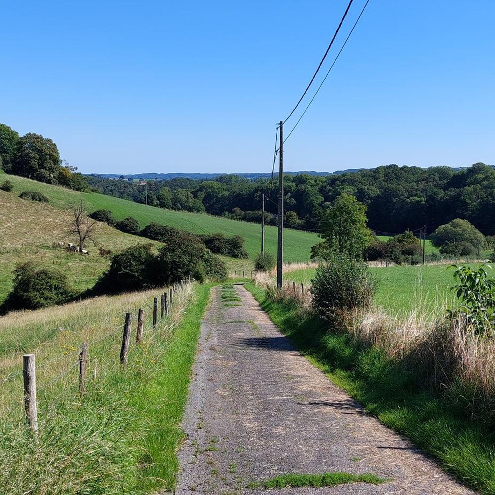
At 209 meters above sea level, the Kattenroth is one of the highest points in the Voer region. From the summit, you have a panoramic view of the rolling Limburg hills, the surrounding meadows, forest edges, and picturesque villages such as Sint-Martens-Voeren and Ulvend. The hill is popular with hikers and nature lovers because the area offers a combination of tranquility and beautiful vistas. Along the paths, you'll encounter wooded banks, old field paths, and the occasional field cross, adding to the charm of this landscape. The Kattenroth is not only a place for views and relaxation but also a landmark in the Voeren landscape.
0
0

The highest point of Kattenrothberg is 209 meters. It lies between the Netherlands (Noorbeek) and Belgium (Sint-Maartens Voeren). Info: https://www.peakbagger.com/peak.aspx?pid=-138260
1
0

Brace yourself for a tough climb, because this mountain is not called the 'high madness' for nothing. It is certainly madness with an enormously steep climb without places to relax. For those who like a challenge on the bike! The road surface is not in optimal condition.
0
0

204 steps lead to the top of the slag heap at a height of 57 m. From here you have a wonderful view of the Herve region.
3
0

What was this, glad we were up. Could use the inside sheet here.
0
0

Rue Haute Folie is a short but very steep climb, with gradients approaching 20% at times.
0
0

Very steep climb, more challenging than La Redoute. Unknown, but necessarily unloved, is included in some lists of the most beautiful and quiet climbs in the Ardennes. Recommended to do, Cotacol no. 297
0
0

Heavy climb, choose the right gear right from the start, a nice alternative to continue to Banneux via this climb
0
0
Frequently Asked Questions
What are the most notable elevated points around Blegny?
While Blegny doesn't feature traditional mountain peaks, it offers several significant elevated points. The Kattenroth Summit (209 m) provides extensive views of the Voer region. Another unique elevated experience is the Stairs to the Summit of Terril du Hasard, a reclaimed slag heap offering breathtaking panoramic views after a 204-step climb.
Are there challenging climbs for cyclists or hikers in the Blegny area?
Yes, the region features several challenging ascents. The Côte des Waides from Val-Dieu is known for its varied asphalt and a tough final section. Another demanding route is the Rue sur Steppes Climb, which offers a rewarding experience in beautiful, shaded surroundings. For cyclists seeking a real test, the Haute Folie Climb is notoriously steep and challenging.
What kind of views can I expect from the elevated points around Blegny?
From elevated points like the Kattenroth Summit (209 m), you can enjoy expansive views of the entire Voer region, characterized by varied forest paths and open landscapes. The Stairs to the Summit of Terril du Hasard also offers breathtaking panoramic views of the surrounding area, blending natural beauty with industrial heritage.
What historical or cultural sites are associated with the elevated landscapes in Blegny?
The most significant historical site is the spoil tip associated with the Blegny-Mine, a UNESCO World Heritage site. Ascending the Stairs to the Summit of Terril du Hasard offers not only views but also a connection to the region's industrial past. The Blegny-Mine itself provides a unique experience of authentic underground coal mine galleries. You can learn more about its history at Atlas Obscura.
Are there family-friendly hiking options around Blegny?
Yes, the area around Blegny offers various hiking routes suitable for different fitness levels, including easier walks. While specific 'family-friendly' categories aren't listed for individual peaks, the general landscape of bocage and woodlands provides pleasant trails. Many routes around the Blegny-Mine are designed to be accessible, allowing families to explore the natural reclamation and industrial heritage.
What outdoor activities can I do near these elevated points?
The Blegny area is excellent for various outdoor activities. You can find numerous routes for road cycling, mountain biking, and hiking. For road cycling, explore routes like the 'Val-Dieu Abbey – Blegny Mine loop from Blegny'. Mountain biking enthusiasts can try the 'Wixhou Chapel – Fort Barchon loop from Blegny'. For mountain hikes, consider the 'Café Mother Goose – Trail through Veursbos Valley loop from Voeren - Fourons'. You can find more details on these activities in the dedicated guides for Road Cycling Routes around Blegny, MTB Trails around Blegny, and Mountain Hikes around Blegny.
What is the best time to visit Blegny for outdoor activities?
The region's diverse landscapes, from woodlands to open views, are enjoyable throughout much of the year. Spring and autumn offer pleasant temperatures and beautiful scenery, with changing foliage in the woodlands. Summer is also suitable, though some climbs might be more strenuous in warmer weather. Winter hiking is possible, but be prepared for potentially low-hanging fog patches, especially on elevated points like the Kattenroth Summit.
Are there specific hiking trails near the Blegny-Mine spoil tip?
Yes, the area around the Blegny-Mine is a starting point for several hiking routes. Visitors can undertake a walk, often with audio guidance, that covers the biotope of the slag heap itself. The Stairs to the Summit of Terril du Hasard is a direct path to the top of a spoil tip, offering a unique experience. These trails allow exploration of the nature and landscapes shaped by former industrial activity.
What do visitors particularly enjoy about the elevated points in Blegny?
Visitors appreciate the unique blend of industrial heritage and natural beauty. Many enjoy the challenging climbs like Côte des Waides from Val-Dieu for the rewarding views at the top. The panoramic vistas from summits such as Kattenroth Summit (209 m) and the Terril du Hasard are frequently highlighted as major draws, offering a fresh perspective on the region.
Are permits required for hiking in Blegny?
Generally, permits are not required for hiking on public trails and elevated points in the Blegny area. However, it's always advisable to respect local regulations, especially concerning private land or protected areas. For specific information, you can check with local tourist information centers in the Blegny municipality.
Can I bring my dog on hikes around Blegny?
Many trails in the Blegny area are dog-friendly, allowing you to explore the bocage landscapes and woodlands with your canine companion. It's generally recommended to keep dogs on a leash, especially in nature reserves, agricultural areas, or where wildlife might be present, to ensure their safety and respect for other visitors and local fauna.
Most popular routes around Blegny
Most popular attractions around Blegny

Get inspired with the komoot mobile app


Explore more
See even more amazing summits around Blegny with these guides:
