The 11 Most Amazing Peaks around Büllingen
Best mountain peaks around Büllingen are found in Belgium's highest municipality, characterized by its elevated landscape. The region is home to Weißer Stein, the country's second-highest point at 693 meters, and provides access to the High Fens and Ardennes, including Signal de Botrange, Belgium's highest peak. Büllingen also features high-altitude villages like Rocherath and Losheimergraben, which is a source for several rivers. This area offers diverse natural beauty, extensive forests, and panoramic views across the Eifel mountain range.
Best mountain…
Last updated: August 24, 2026
Ehrensteinley Viewpoint
Highlight • Viewpoint
Translated by Google •
Tip by

Schwarzer Mann Summit and Wooden Statue
Highlight • Summit
Translated by Google •
Tip by

Sign up now to discover places like this
Get recommendations on the best single tracks, peaks, & plenty of other exciting outdoor places.
Sign up for free
Ascent to Ehrensteinley
Highlight • Trail
An easy mountain hiking trail, beautifully rocky and criss-crossed with roots!
From the Ehrensteinley you have a beautiful view over the Rurhöhen and the valley.
Translated by Google •
Tip by

Weißer Stein Observation Tower
Highlight • Viewpoint
Translated by Google •
Tip by

Weißer Stein in Bocksvenn
Highlight • Natural Monument
Translated by Google •
Tip by
Sign up for free to discover even more peaks around Büllingen.
Sign up for free
Already have an account?
Start today with a free account
Your next adventure awaits.
Login or Signup
Popular around Büllingen
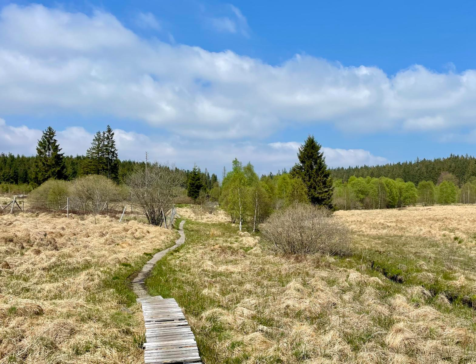
Nature et Histoire à la frontière germano-belge — Chemin du souvenir
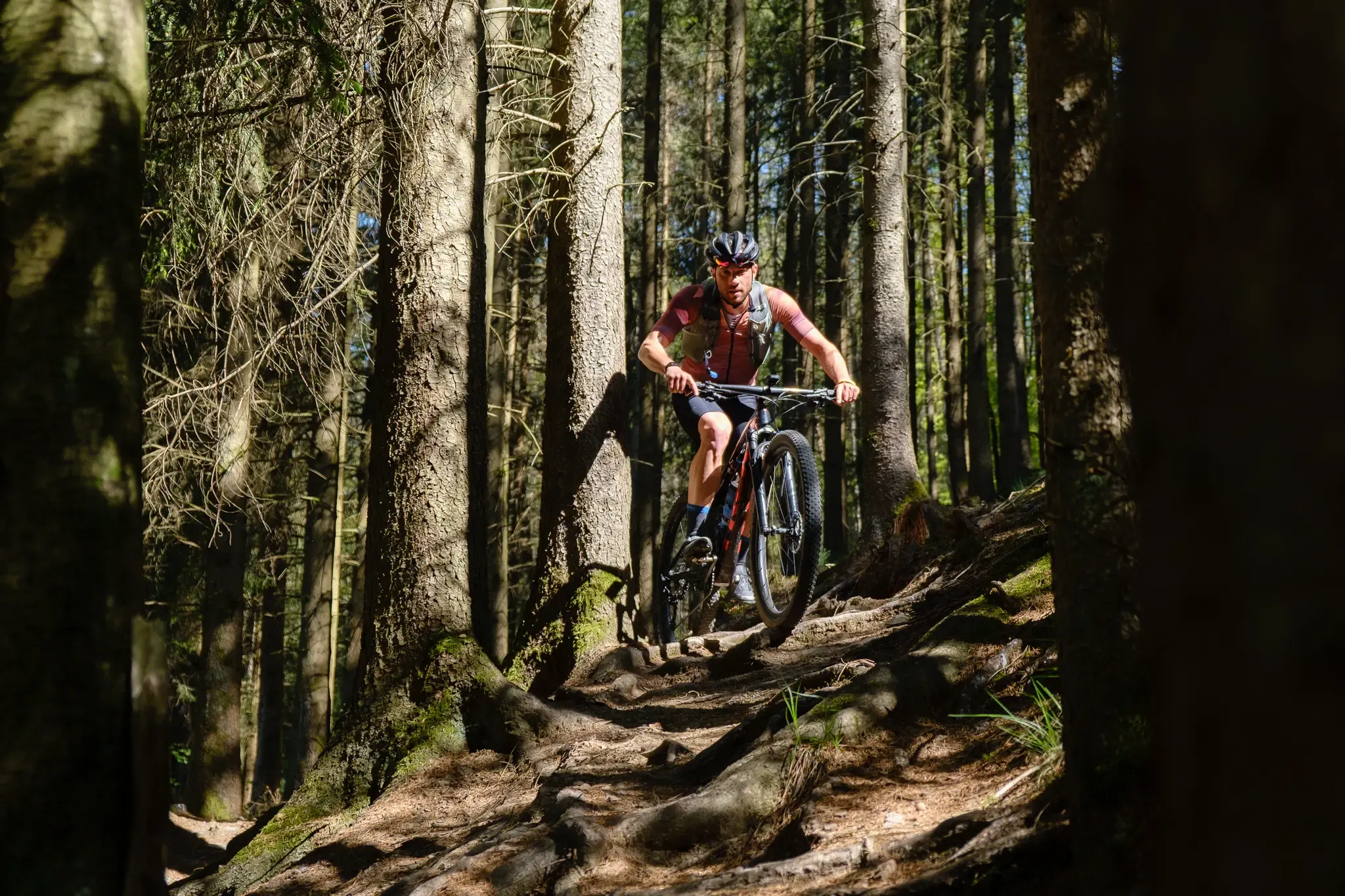
Stoneman Arduenna – old-school mountain biking in East Belgium
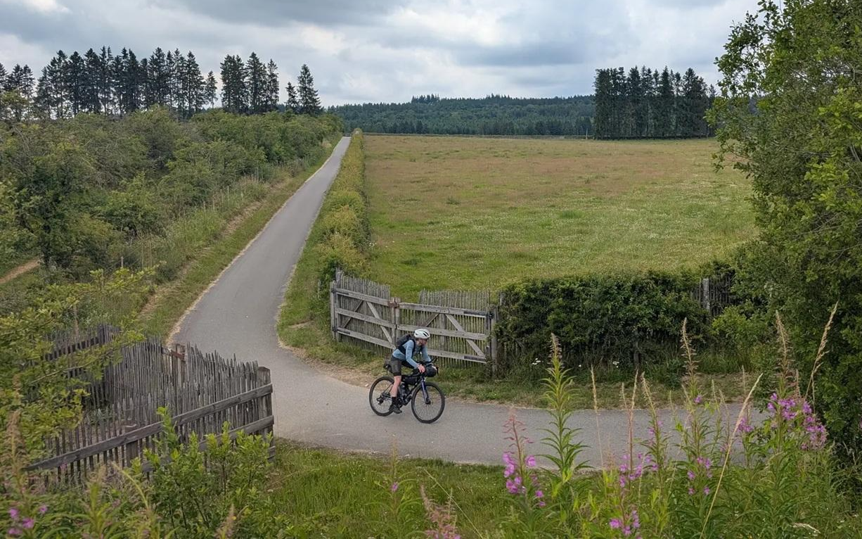
A Vennbahn voyage - bikepacking through three countries in three days
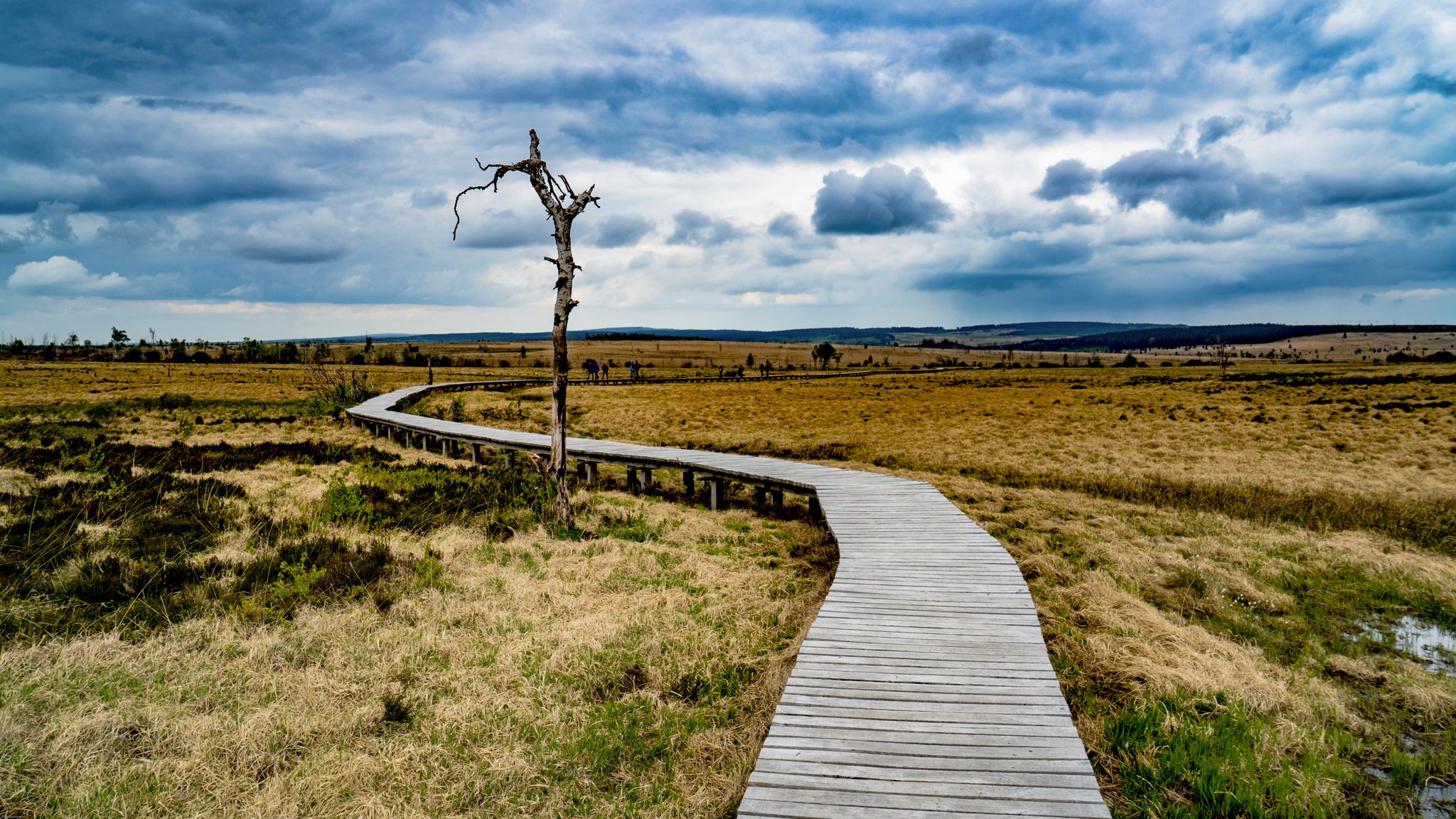
Leisure Tours on enchanted paths – hiking in East Belgium
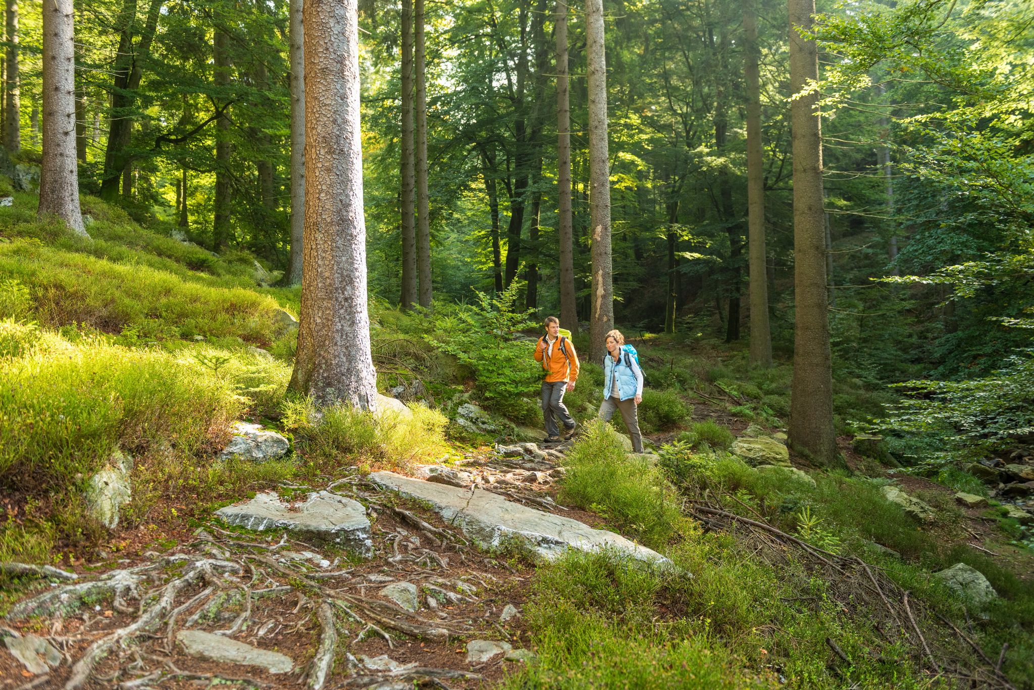
Fantastic regional footpaths — GR hiking paths in East Belgium
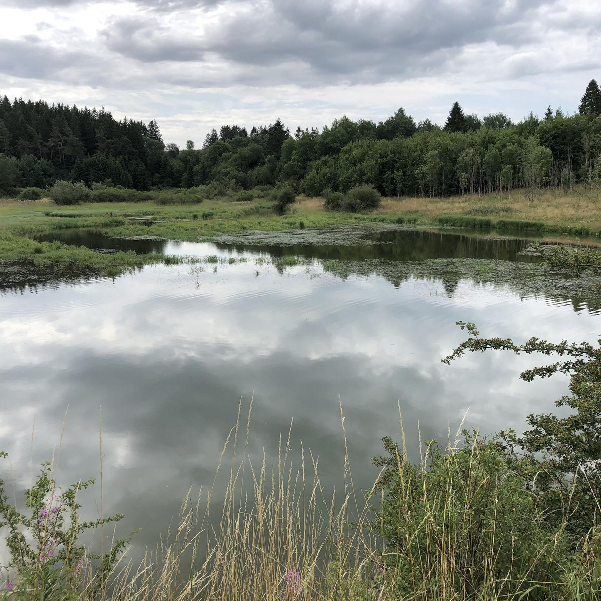
Hiking around Büllingen
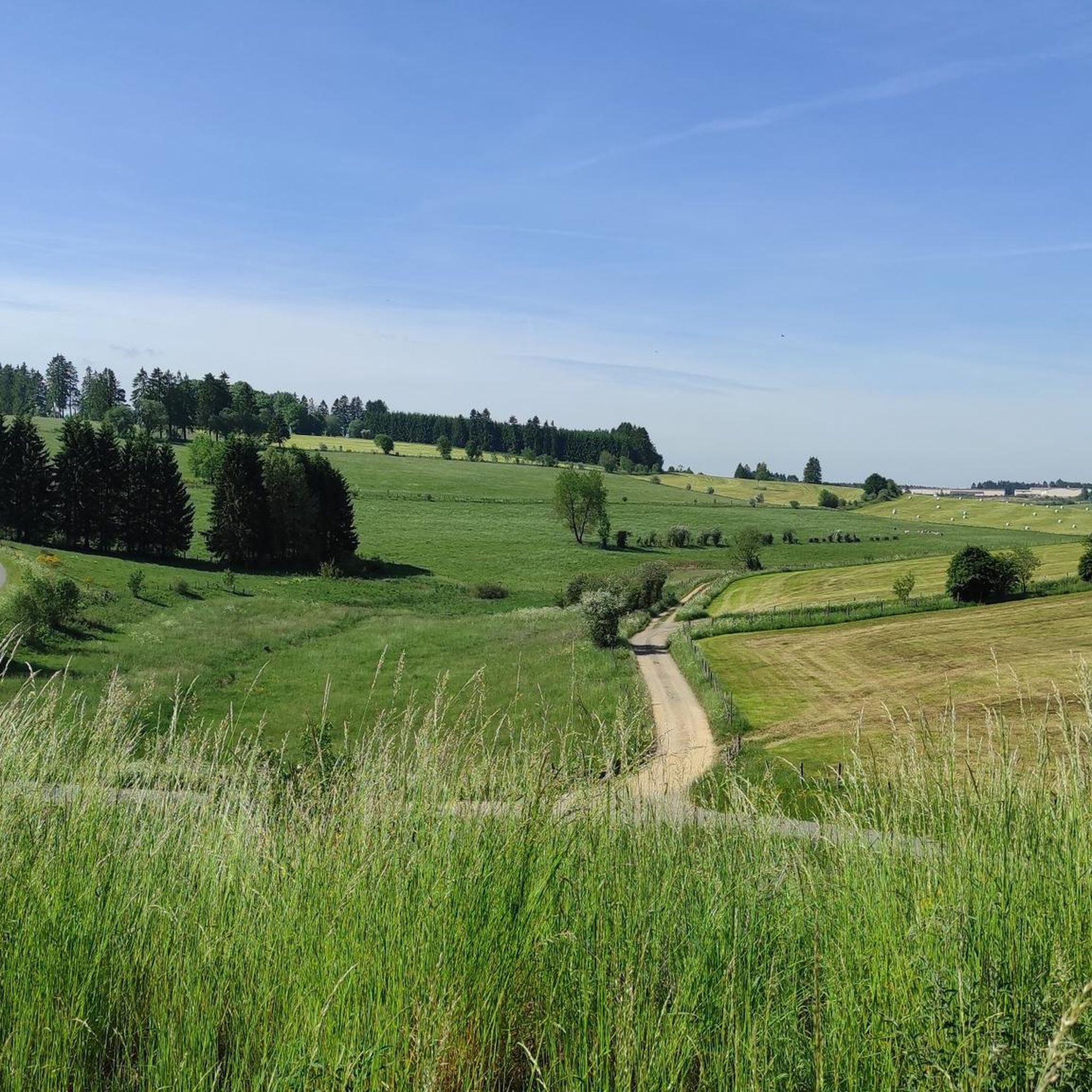
Cycling around Büllingen
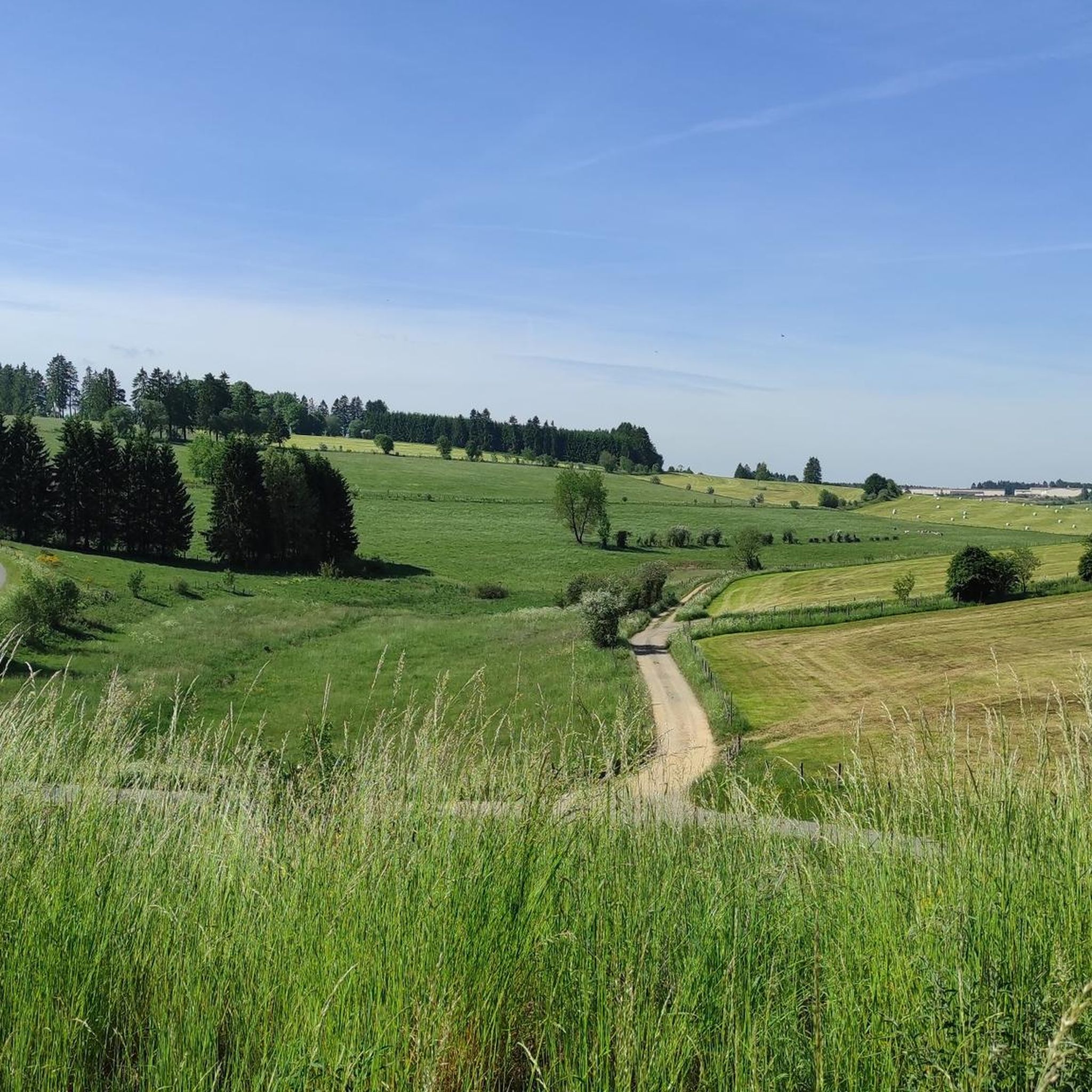
Road Cycling Routes around Büllingen
MTB Trails around Büllingen
Running Trails around Büllingen
Other adventures around Büllingen


Tips from the Community

The White Stone is approximately 6.5 meters long, 3.5 meters wide, and 1.5 meters high; it weighs about 50 tons. It originated over 30 million years ago as part of a sandstone ridge and was transported by glaciers during the Ice Age to its current location in the Bocksvenn fen. People lived in the area around it as early as 8,000 years ago. Hearths, tools, and flint fragments have been found nearby, indicating that the stone served as a prominent landmark in the landscape from an early period. Over the millennia, it has been reinterpreted time and again – as a boundary stone, cult stone, sacrificial stone, or meeting place. To this day, the White Stone is considered mystical and fascinating, as numerous myths and legends have grown up around it.
42
0
The modern observation tower, approximately 30 meters high, was built in 2014. From its platform, one can enjoy an impressive panoramic view of surrounding mountains such as the Hohe Acht, the Aremberg, the Michelsberg, and the Nürburgring when visibility is good. Information panels explain the directions of the view and make orientation easier.
23
0

Behind the village of Mürringen, not far from the German border, in a wetland (Bocksvenn), you'll find a white-gray quartzite boulder, the so-called White Stone. The "White White Stone" is a Tertiary quartzite, a block of rock hardened by silica, some of which can still be found on the Eifel plateau, leveled by erosion, at elevations above 550 meters. Due to its hardness, this stone has not weathered like the other "young rock" in the surrounding area. At 692 meters above sea level, the White Stone is the second highest point in Belgium. Source: https://www.eifel.de/go/sehenswertes-detail/weisser_stein_buellingen.html
4
0

The 30-metre observation tower was built at the end of 2014 to replace the previous tower that stood here from 1973 to 2011. Climb up the 147 steps to enjoy a panoramic view of your surroundings from an elevation of 720 metres.
4
1

Very nice path that goes quite up/down. Watch out for rocky parts on the wetter days.
2
0

The climb is a bit steep in places, but nothing exposed or dangerous!
5
0

Great location, definitely worth a visit. If you look closely at the stone you can still see parts of the writing that was once there. Unfortunately the writing is almost illegible due to shrapnel etc.
1
0

The stone is not worth making a detour, but if you pass it you can deviate from the road to view it via plank paths.
3
0
Frequently Asked Questions
What are some prominent mountain peaks and viewpoints to visit around Büllingen?
The region around Büllingen offers several notable peaks and viewpoints. You can visit the Ehrensteinley Viewpoint, which provides a fantastic view over the Eifel forests after a short ascent. Another popular spot is the Weißer Stein Observation Tower, where you can climb 147 steps to a panoramic view from 720 meters above sea level.
What is the highest point in the North Eifel Nature Park near Büllingen?
The highest point in the North Eifel Nature Park is the Schwarzer Mann Summit and Wooden Statue, standing at 697.3 meters above sea level. This summit is known for its historical connections to mining or charcoal burning.
Are there family-friendly mountain walks or activities near Büllingen?
Yes, several spots are suitable for families. The Weißer Stein Observation Tower area features a playground, soccer field, and climbing wall, making it a great family excursion. The Schwarzer Mann Summit and Wooden Statue is also considered family-friendly, and the nearby Schwarzer Mann (Ski and Recreation Area) offers a toboggan run and children's toboggan run in winter.
What kind of outdoor activities can I do near the mountain peaks around Büllingen?
The region is excellent for various outdoor activities. You can explore numerous hiking trails, such as those found in the Hiking around Büllingen guide, which includes routes like the 'Border hike' Manderfeld. For those interested in more challenging mountain hikes, the Mountain Hikes around Büllingen guide offers options like the Teufelsley Rock Formation loop. Additionally, there are running trails and cycling routes, including the Ravel Trail built on old railway lines.
What is the highest point in Belgium, and how close is it to Büllingen?
While not strictly within Büllingen, Belgium's highest point, Signal de Botrange, is closely associated with the wider region accessible from Büllingen. It stands at 694 meters (2,277 feet) and features a tower allowing visitors to reach an altitude of 700 meters.
Are there any historical or cultural sites near the mountain peaks?
Yes, the region has historical significance. The Schwarzer Mann Summit has historical connections to mining or charcoal burning. Büllingen itself is the highest municipality in Belgium, characterized by rural and agricultural surroundings with wayside crosses, churches, and chapels. The 'Route of Commemoration' is a 96 km circular route highlighting historical war events in the German-Belgian border area.
What natural features can I expect to see when visiting the peaks around Büllingen?
You will encounter diverse natural beauty, including extensive forests, moors, and lakes, particularly within the Hautes Fagnes Nature Park. The area around Weißer Stein features the Bockvenn wetland, and the Holzwarche valley near Rocherath-Krinkelt is known for its meadows filled with daffodils, especially vibrant during blossom season.
What is the best time to visit the mountain peaks around Büllingen?
The region offers attractions year-round. Spring is beautiful for seeing daffodils in bloom in areas like the Holzwarche valley. Summer and autumn are ideal for hiking and cycling. In winter, areas like the Schwarzer Mann (Ski and Recreation Area) transform into winter sports destinations with ski slopes and cross-country trails, weather permitting.
Are there any hidden gems or less-known summits to explore?
While not a major attraction, the Schneeblister (641 m) is a summit that offers a quiet, forested experience. It's more about the journey through the Eifel landscape than a specific viewpoint, often described as a muddy crossroads in mild temperatures.
What are some of the high-altitude villages in the Büllingen municipality?
Büllingen is home to several high-altitude villages. Rocherath is recognized as the highest village in Belgium. Losheimergraben is another high-lying hamlet, situated at approximately 670 meters above sea level, and is notable as the source of the Kyll, Warche, and Our rivers.
Can I find circular mountain walks around Büllingen?
Yes, the region offers many circular routes. For example, the Hiking around Büllingen guide includes the 'GR 56: Holzwarche Valley Loop', which is a moderate circular trail. Many other trails are designed as loops, allowing you to start and end at the same point.
What kind of views can I expect from the viewpoints in the Büllingen area?
From viewpoints like the Ehrensteinley Viewpoint and the Weißer Stein Observation Tower, you can expect panoramic views across the Eifel mountain range, extensive forests, and distant natural landscapes. The elevated position of Büllingen provides broad vistas over the surrounding high-altitude terrain.
Most popular routes around Büllingen
Most popular attractions around Büllingen

Get inspired with the komoot mobile app


Explore more
See even more amazing summits around Büllingen with these guides:
