The 5 Most Amazing Peaks around Evje Og Hornnes
Best mountain peaks around Evje Og Hornnes are found in Agder county, Norway, within a municipality known for its diverse outdoor activities. The region is characterized by its natural landscape, offering opportunities for exploration. Situated in the mineral-rich Setesdal Valley, Evje Og Hornnes provides a setting for mountain adventures.
Best mountain peaks around Evje Og Hornnes
- The most popular mountain peaks is View from Botnfjellet Summit, a summit that offers a worthwhile hike with varied terrain. Visitors are rewarded…
Last updated: July 14, 2026
Arabianspitz 792 m
Highlight • Summit
Translated by Google •
Tip by

Himmelsyna Summit
Highlight • Summit
Tip by

Sign up now to discover places like this
Get recommendations on the best single tracks, peaks, & plenty of other exciting outdoor places.
Sign up for free
Årdalsnuten Summit
Highlight • Summit
Translated by Google •
Tip by

Årdalsknapen
Highlight • Summit
Translated by Google •
Tip by

View from Botnfjellet Summit
Highlight (Segment) • Summit
Translated by Google •
Tip by

Sign up for free to discover even more peaks around Evje Og Hornnes.
Sign up for free
Already have an account?
Start today with a free account
Your next adventure awaits.
Login or Signup
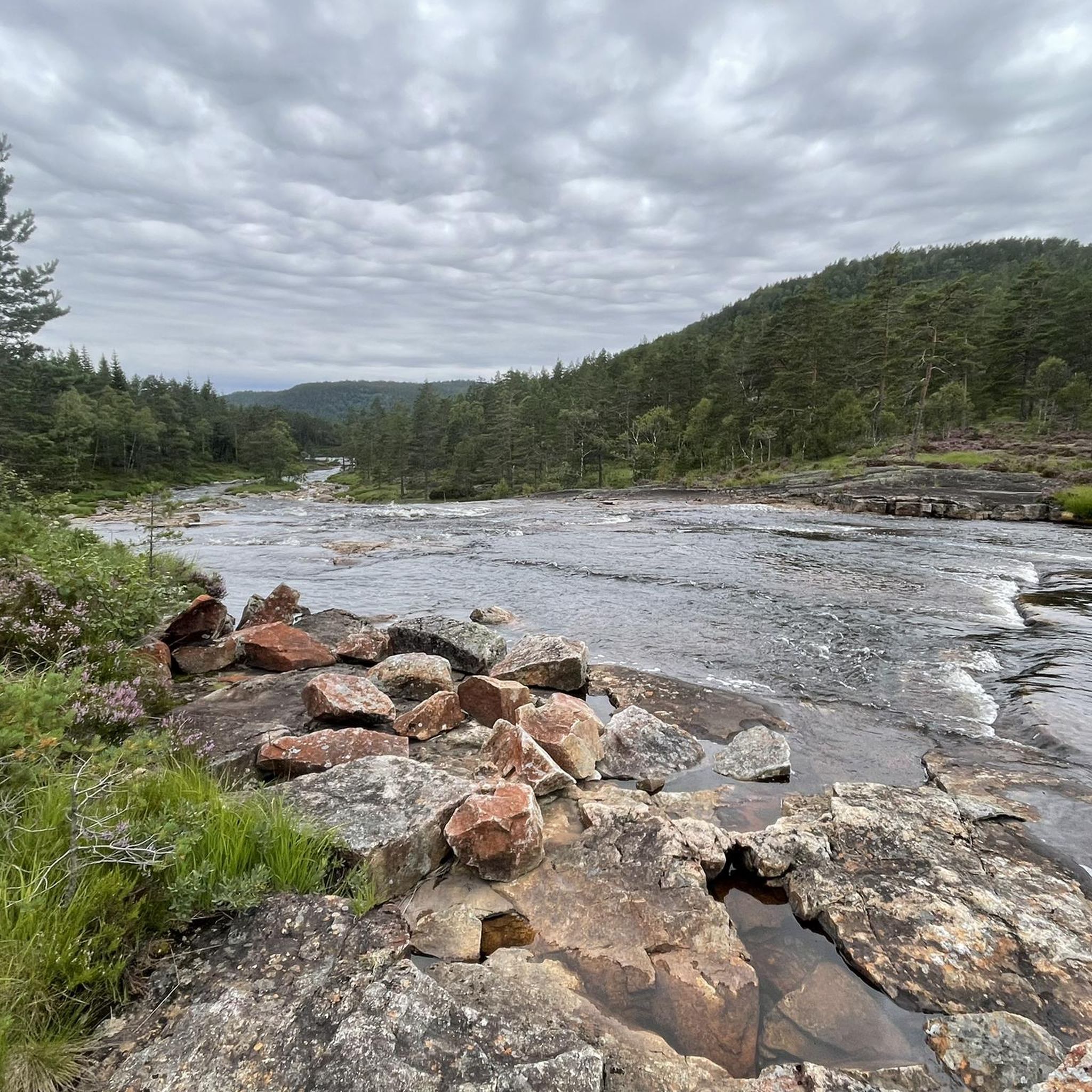
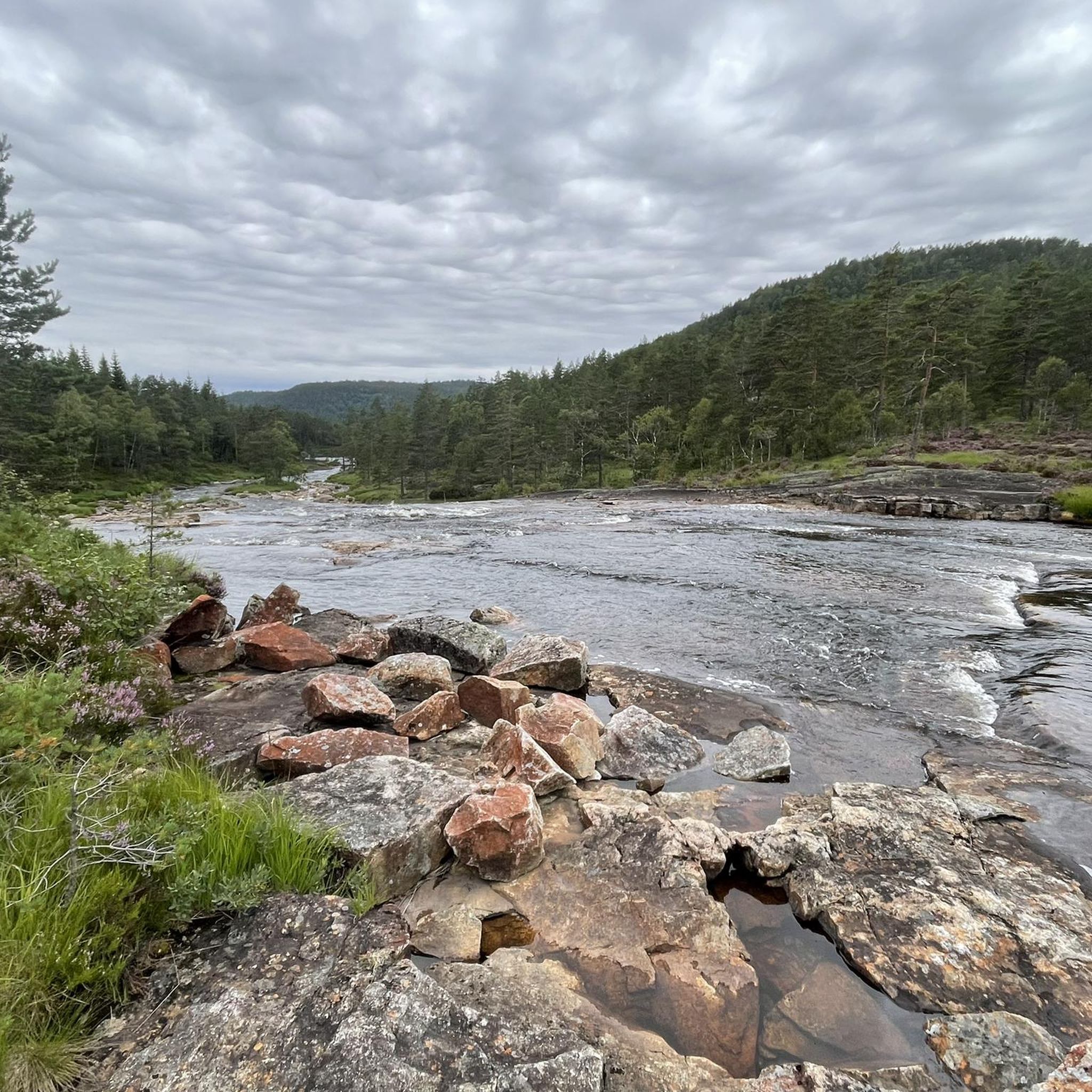
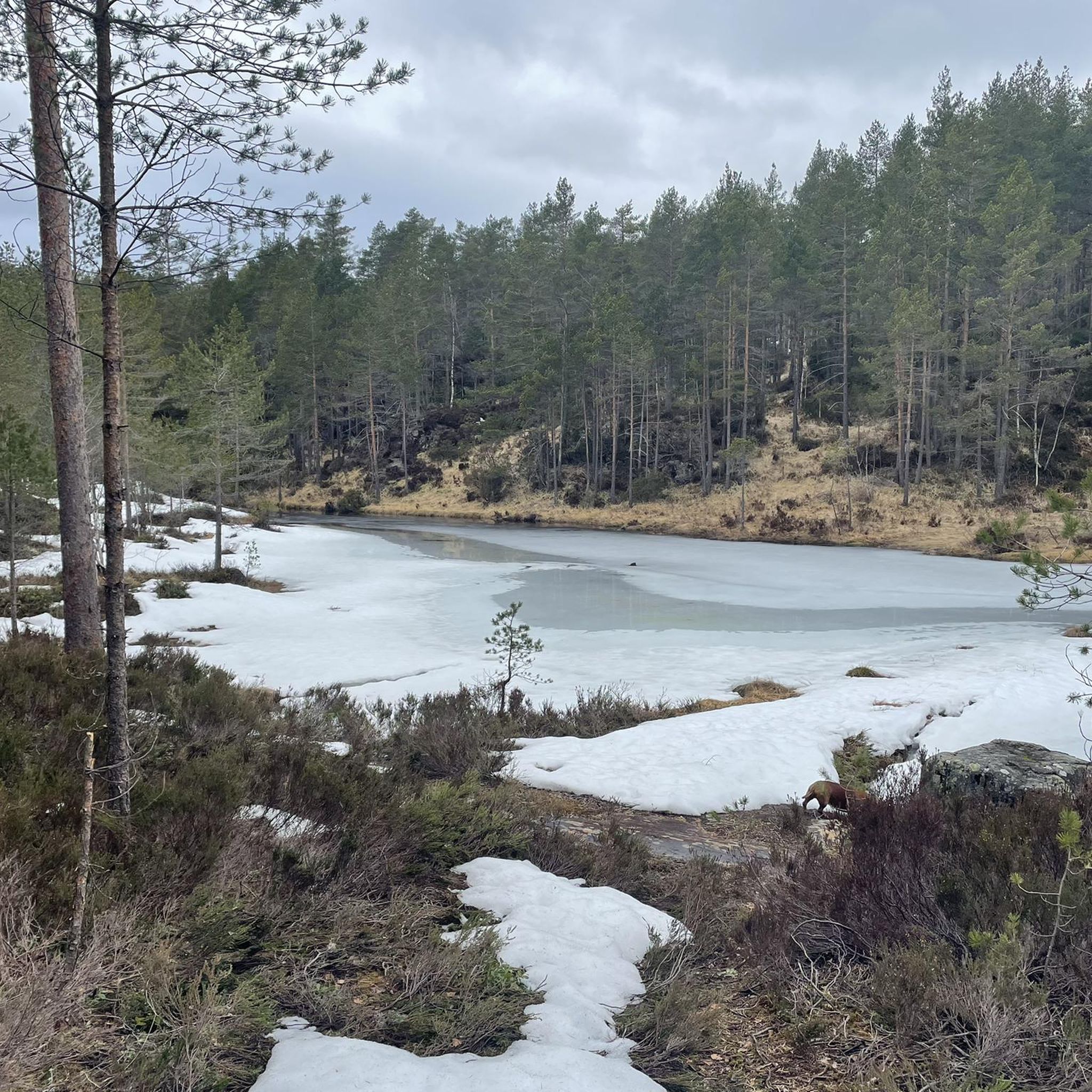
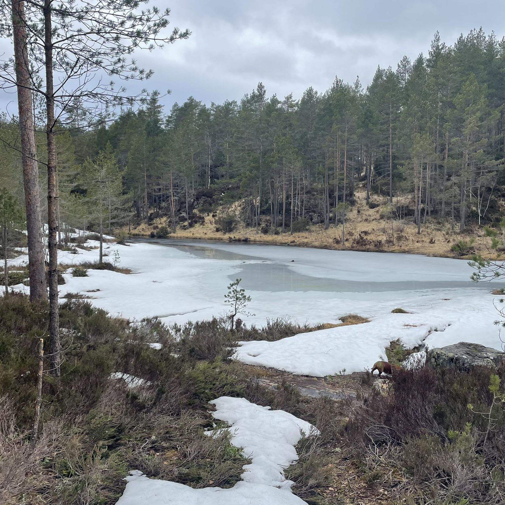
Tips from the Community

Himmelsyna offers wide views over the forests, lakes and rolling hills of Agder from one of the highest points in the area. The summit is reached via varied terrain with rocky sections and wetland crossings,
1
0

The climb from camping Neset to the top is tough but easy to do. A beautiful view at the top. Please note that the southern descent from the top to Byglandsfjord is poorly signposted. Due to forest clearing, the last 3 km descent from Areklepp to Byglandsfjord is not maintained. It is really looking for something that looks like a path here. During the southern descent you will pass through a lot of swampy and wet area. High waterproof shoes are necessary.
0
0

Beautiful hike with tough climbs!
0
2
Great view after a beautiful varied walk!
1
1
Beautiful view! Here and there some clambering over steeper hiking trails
1
0

Great view but be careful only with good shoes.
1
0

From here the rather steep ascent begins.
0
0
Frequently Asked Questions
What are some of the most prominent mountain peaks to visit in Evje og Hornnes?
Evje og Hornnes offers several notable peaks. View from Botnfjellet Summit is popular for its varied terrain and great views. For the highest point in the municipality, consider Midtstrandnuten at 790 meters. Bertesknaben provides an impressive 360-degree panorama, while Fennefossfjellet offers views of central Evje and the Otra river.
Are there any challenging mountain hikes in Evje og Hornnes?
Yes, for those seeking a challenge, Årdalsnuten Summit involves steeper hiking trails and some clambering, requiring good shoes. Årdalsknapen is also known for being a tough but rewarding walk, though rocks can be slippery when wet.
Which peaks offer the best panoramic views in the region?
Bertesknaben is highly recommended for its extensive 360-degree panoramic view, encompassing 15 of the region's municipalities. Arabianspitz 792 m also provides a great all-round view from its summit.
Are there any easy or moderate mountain hikes suitable for beginners or families?
Fennefossfjellet is generally considered a moderate hike, making it accessible to a broader range of hikers. The trail typically starts at Fennefoss Museum and involves a gradual ascent. View from Botnfjellet Summit is also described as an intermediate hike with varied terrain.
What should I wear or bring when hiking the mountain peaks in Evje og Hornnes?
For trails like Bertesknaben, which can have boggy sections, waterproof hiking shoes are highly recommended. For Fennefossfjellet, good hiking or training shoes are sufficient. Generally, sturdy shoes are a must for most trails, especially those with varied terrain or potential for slippery rocks like Årdalsknapen.
What kind of natural features can I expect to see on these mountain peaks?
You'll encounter diverse landscapes, from forest trails leading to summits like View of the valley and lake from the summit, to expansive viewpoints offering vistas of the Setesdal region. Some peaks, like Bertesknaben, feature bog areas, while others provide views of the winding Otra river.
What outdoor activities can I do near the mountain peaks in Evje og Hornnes?
Beyond hiking the peaks, the region offers a variety of outdoor activities. You can explore cycling routes, including the 'Old Railway Gravel Path' or 'Cycling Bridge Over the Otra' from Hornnes kyrkje, as detailed in the Cycling around Evje Og Hornnes guide. There are also numerous MTB trails, such as 'Risfetlia – Soga' or 'Austebråtane – Rughei', found in the MTB Trails around Evje Og Hornnes guide.
Are there specific hiking trails near these mountain peaks?
Yes, there are many hiking trails. For example, you can find routes like 'Gudmundsgruve at Landsverk IV – Flåt Gruver Mining Site' or 'View of Rocky Cliff – Fennefoss Antenna' in the Hiking around Evje Og Hornnes guide. These routes offer varying difficulties and scenic views.
What do visitors enjoy most about the mountain peaks in Evje og Hornnes?
Visitors frequently praise the rewarding views after a hike. Many appreciate the peaceful natural environment, especially on less crowded trails. The varied terrain and the sense of accomplishment from reaching summits like View from Botnfjellet Summit are also commonly highlighted.
Is there a peak that is the highest point in Evje og Hornnes?
Yes, Midtstrandnuten stands as the highest point in the municipality of Evje og Hornnes, reaching an elevation of 790 meters (2,592 feet) above sea level. It also marks a border point with the neighboring Åseral municipality.
Can I find information about specific hiking routes for Bertesknaben or Fennefossfjellet?
Yes, for Bertesknaben, you can find details about a 7.4 km return trip at Visit Norway. For Fennefossfjellet, information on a 5.2 km return trip is available on Visit Norway (Spanish) and Visit Sørlandet.
Are there any peaks with unique landmarks or historical significance?
Bertesknaben is easily identifiable by a distinctive white radar dome at its summit, which serves as an approach radar for Kjevik Airport. Fennefossfjellet is also a recognizable local landmark due to its tall radio, TV, and cellphone tower.
Most popular attractions around Evje Og Hornnes

Get inspired with the komoot mobile app


Explore more
See even more amazing summits around Evje Og Hornnes with these guides:
