The 7 Most Amazing Peaks around Hol
Best mountain peaks around Hol are found in a dramatic mountainous landscape within Buskerud county, Norway. The region is dominated by the Hallingskarvet mountain range, offering numerous notable peaks and viewpoints. This area provides diverse hiking experiences and panoramic vistas. Hol is a destination for those seeking to explore high-altitude terrain and natural beauty.
Best mountain peaks around Hol
- The most popular mountain peaks is Rallarvegen Fagervatn Highest Point (1343 m), a summit that is the highest point of…
Last updated: June 30, 2026
Rallarvegen Fagervatn Highest Point (1343 m)
Highlight • Summit
Translated by Google •
Tip by

Prestholtskaret Summit
Highlight • Summit
Tip by

Sign up now to discover places like this
Get recommendations on the best single tracks, peaks, & plenty of other exciting outdoor places.
Sign up for free
Hardangerjøkulen Glacier
Highlight • Natural Monument
Tip by
Urundberget 1218 m Summit
Highlight • Summit
Translated by Google •
Tip by

Steinreich Pass Summit
Highlight • Mountain Pass
Requires at least 40 mm wide tires for comfortable cycling.
Translated by Google •
Tip by

Sign up for free to discover even more peaks around Hol.
Sign up for free
Already have an account?
Start today with a free account
Your next adventure awaits.
Login or Signup
Popular around Hol

MASSIV-Ruta – Steep mountains and deep valleys, a Norwegian adventure
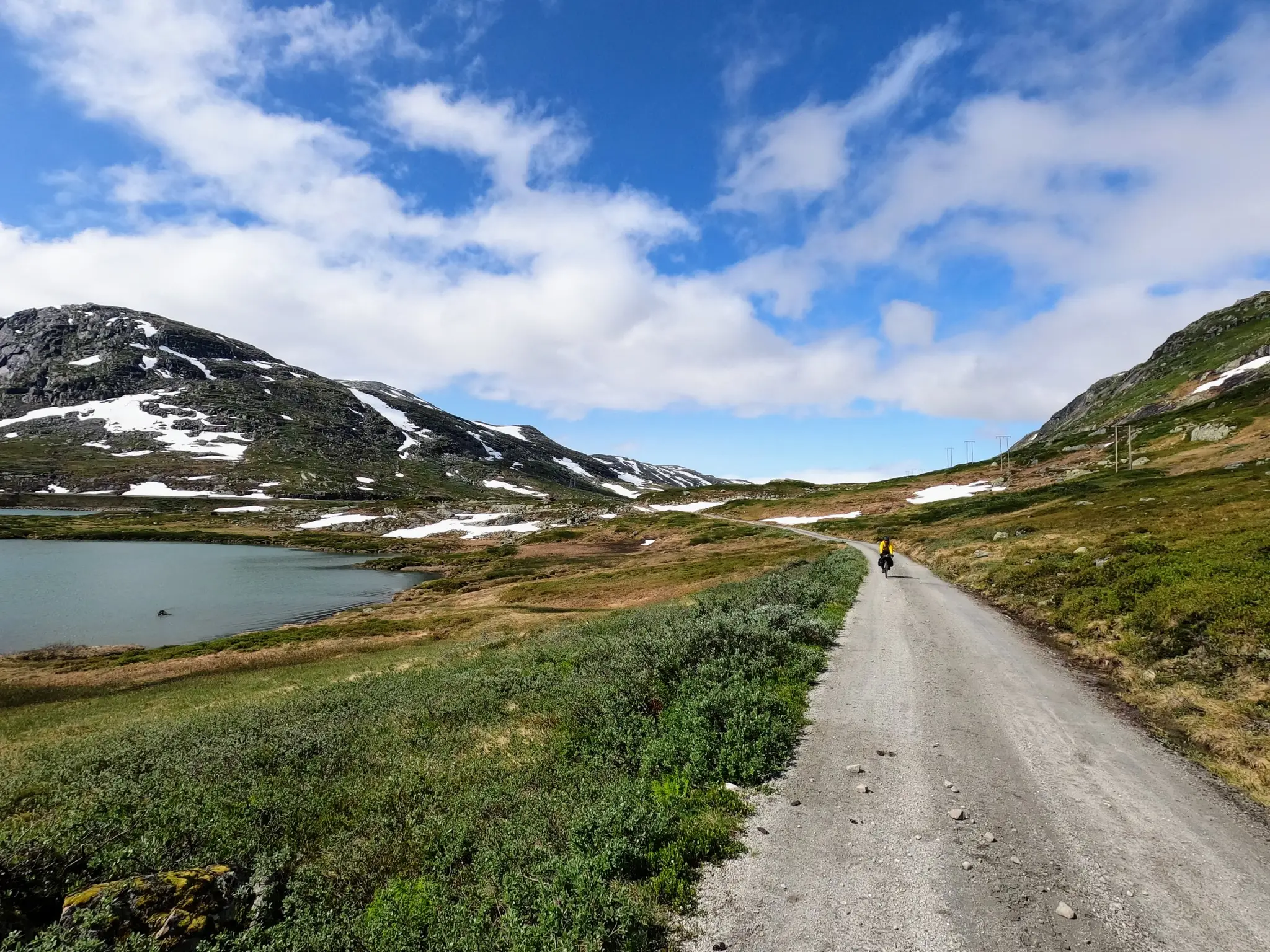
Cycling the heart of Norway – Skarvheimen Round
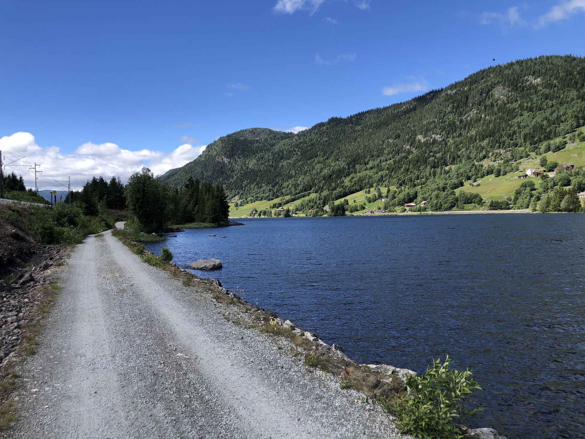
Waterfalls, Forests and High Plateaus – Hallingdal Route
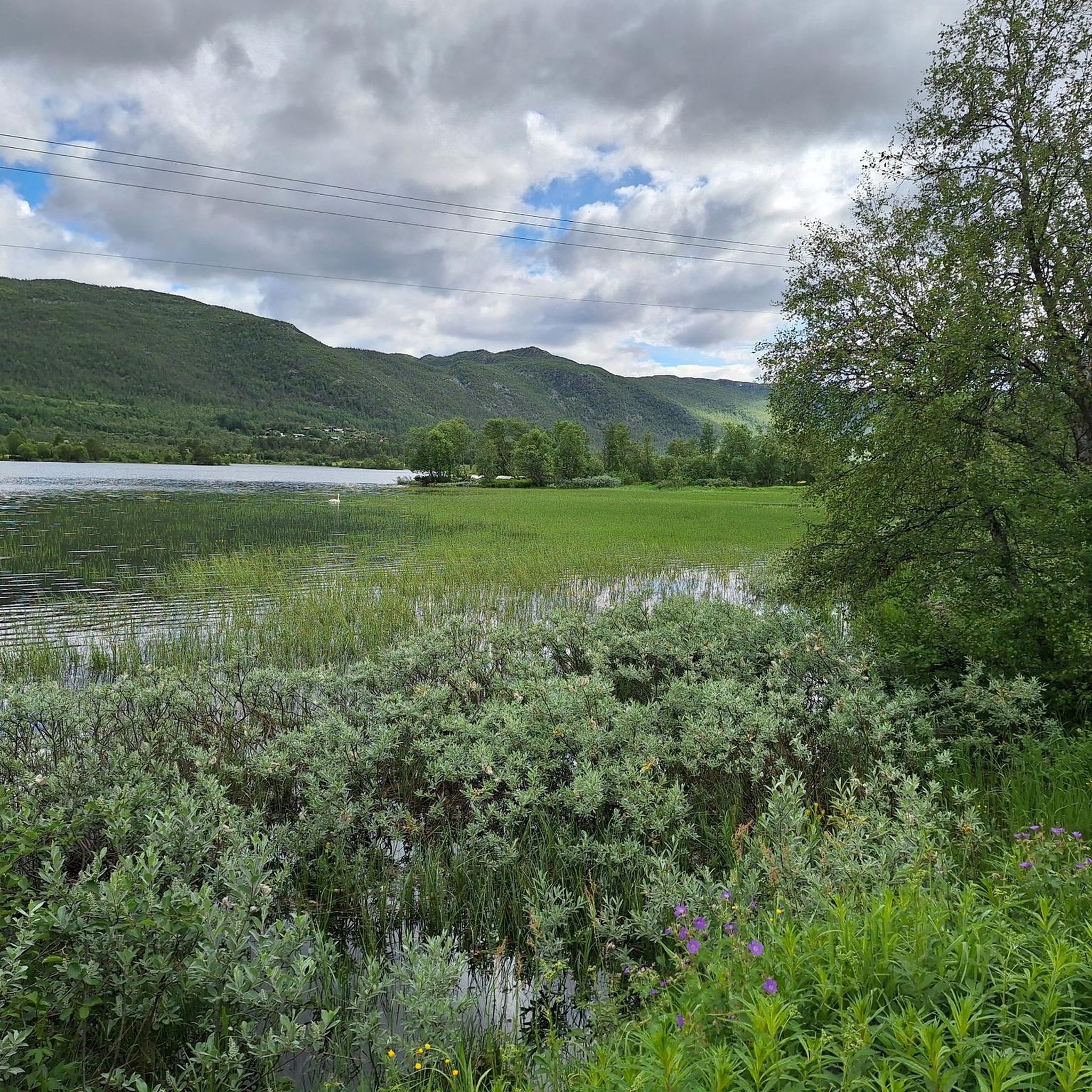
Hiking around Hol
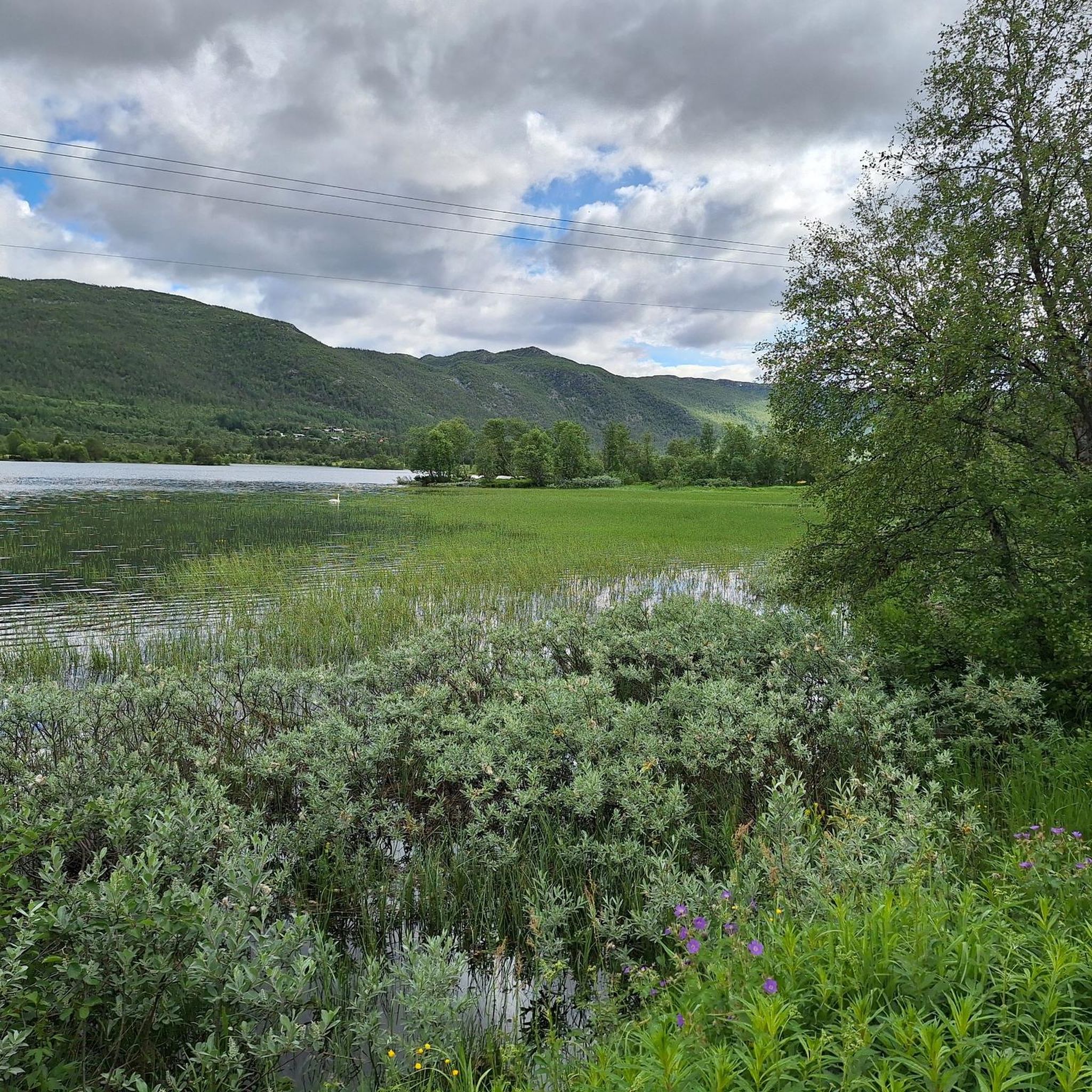
Cycling around Hol
MTB Trails around Hol
Gravel biking around Hol
Running Trails around Hol
Road Cycling Routes around Hol


Tips from the Community


Hardangerjøkulen is one of Norway’s largest glaciers, a vast, shimmering ice cap stretching across the rugged Hardangervidda plateau. Surrounded by barren highlands and dramatic peaks, the glacier’s white expanse creates a striking contrast against the deep blues of nearby lakes and the muted tones of the alpine terrain. Its accessible location near Finse makes it a popular destination for hikers and glacier tours alike.
1
0
At 1,856 meters, Prestholtskaret offers a breathtaking view over Hallingskarvet National Park, with Hardangervidda and Hardangerjøkulen visible in the distance. The ascent follows the famous Sherpa Stairs, leading through dramatic landscapes to this high-mountain plateau.
1
1

dirt road of about seventy km that goes from Haugastol to Flam
0
0

Very wonderful landscape. Road surface quite bumpy and rough. Requires at least 40 mm wide tires for comfortable cycling.
0
0

Suddenly the sign is on the side of the road. Hardly any ascent beforehand, hardly any descent afterwards and yet this is probably the highest point of Rallarvegen.
0
0

The ascent is much easier from the east than from the fjord (steep slope)
1
0
Frequently Asked Questions
What are the most prominent mountain peaks and areas to explore in Hol?
The Hol region is dominated by the majestic Hallingskarvet mountain range. Key peaks and areas include Folarskardnuten, the highest point in both Hol Municipality and Buskerud county at 1,933 meters, offering spectacular panoramic views. Another notable area is Prestholtskaret and Skarvsenden, which are high points on the popular Prestholt Round trail, known for its impressive 'Sherpa stairs' and breathtaking vistas over Hallingdal valley and Hardangervidda.
What unique geological features can I expect to see in the mountains around Hol?
The mountains around Hol, particularly within Hallingskarvet National Park, showcase a dramatic landscape shaped by over 1.5 billion years of geological processes. You'll find solid remnants of hard gneiss, steep cliffs, and a vast plateau between 1,700 and 1,900 meters above sea level. The area is characterized by a 'bare mountain' landscape with unique formations.
Are there challenging mountain climbs for experienced hikers in Hol?
Yes, for experienced hikers seeking a challenge, Folarskardnuten presents an exciting and rewarding climb. The area around the Hardangerjøkulen Glacier also offers challenging routes. These trails often involve rugged terrain and significant elevation gain, providing a true test for outdoor enthusiasts.
What are some family-friendly hiking options in the Hol mountains?
The Prestholt Round is an excellent family-friendly option, especially due to the 'Sherpa stairs' (Prestholttrappa) which make the ascent more accessible. This trail offers stunning scenery and starts and ends at Prestholtseter, a mountain café. While not explicitly listed as 'family_friendly' in all data, its popularity and accessibility make it suitable for a wider range of hikers, including families.
When is the best time of year to visit the mountain peaks around Hol for hiking?
The best time for hiking the mountain peaks around Hol is generally during the summer months when trails are clear of snow and weather conditions are more stable. However, the region also offers opportunities for winter activities like ski touring, particularly around Folarskardnuten. Always check local conditions before heading out, as mountain weather can be unpredictable.
What kind of wildlife and flora can be found in Hallingskarvet National Park?
Hallingskarvet National Park is home to diverse mountain flora, including small-white orchids and alpine gentian. The park also supports various wildlife, such as reindeer, gluttons, and Arctic foxes, making it a rich environment for nature observation.
Are there any unique landmarks or viewpoints to discover in the Hol mountains?
Absolutely. The 'Sherpa stairs' (Prestholttrappa) on the Prestholt Round are a unique man-made landmark. For natural viewpoints, View of Hochschaden offers wide, open views over surrounding valleys. From Folarskardnuten, you can see the Hardangerjøkulen glacier, and on clear days, even Hurrungane and Jotunheimen.
What outdoor activities, besides hiking, can I do near the mountain peaks of Hol?
The Hol region offers a variety of outdoor activities. You can explore numerous MTB trails, with options like the 'Railway Tunnel Entrance – Tungevatn Lake loop from Haugastøl'. Cycling is also popular, including routes like the famous Rallarvegen: Haugastøl to Flåm. In winter, the area is known for ski touring and cross-country skiing, hosting events like Skarverennet.
Where can I find amenities like cafes near hiking trails in the Hol area?
The Prestholt Round trail conveniently starts and ends at Prestholtseter, a mountain café that serves traditional Norwegian dishes. This provides a welcoming base and a place to refuel before or after your hike.
What do visitors particularly enjoy about the mountain peaks around Hol?
Visitors frequently praise the stunning panoramic views from peaks like Folarskardnuten and Skarvsenden. The accessibility provided by features like the 'Sherpa stairs' on the Prestholt Round is also highly appreciated. Many enjoy the sense of escape and connection with nature offered by the rugged beauty and pristine wilderness of Hallingskarvet National Park.
Are there any specific tips for cycling the mountain passes around Hol?
When cycling mountain passes like Steinreich Pass Summit, be prepared for a wonderful landscape but also a bumpy and rough road surface. It's recommended to use tires at least 40 mm wide for a more comfortable cycling experience.
Can I reach the mountain areas around Hol using public transport?
Yes, Hallingskarvet National Park is easily accessible, with the Bergen Railway line running along its boundary. This offers an environmentally friendly way to reach the area and start your mountain adventures.
Most popular attractions around Hol

Get inspired with the komoot mobile app


Explore more
See even more amazing summits around Hol with these guides:
