The 7 Most Amazing Peaks around Eigersund
Best mountain peaks around Eigersund offer diverse elevated natural attractions for hiking and panoramic views. The region's landscape features engaging climbs to notable viewpoints and unique geological formations, providing insights into its history. Eigersund's natural environment ranges from rugged coastlines to cultural farmlands. These locations combine accessible hiking with historical significance and varied terrain.
Best mountain peaks around Eigersund
- The most popular mountain peaks is Storafjellet hikers' shelter, a summit and hikers' shelter that provides a clear view towards…
Last updated: June 30, 2026
Storafjellet hikers' shelter
Highlight • Mountain Hut
Translated by Google •
Tip by

Grave of Viking Orvar Odd on Oddsfjellet
Highlight • Historical Site
From here you can climb to Oddsfjellet, where the Viking Orvar Odd has his final resting place. …
Translated by Google •
Tip by

Sign up now to discover places like this
Get recommendations on the best single tracks, peaks, & plenty of other exciting outdoor places.
Sign up for free
Træla Mountain
Highlight • Summit
Translated by Google •
Tip by
Bjørndalsniba
Highlight • Summit
Tip by

Soltua Summit
Highlight (Segment) • Summit
Translated by Google •
Tip by
Sign up for free to discover even more peaks around Eigersund.
Sign up for free
Already have an account?
Start today with a free account
Your next adventure awaits.
Login or Signup

Tips from the Community

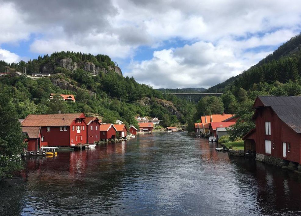
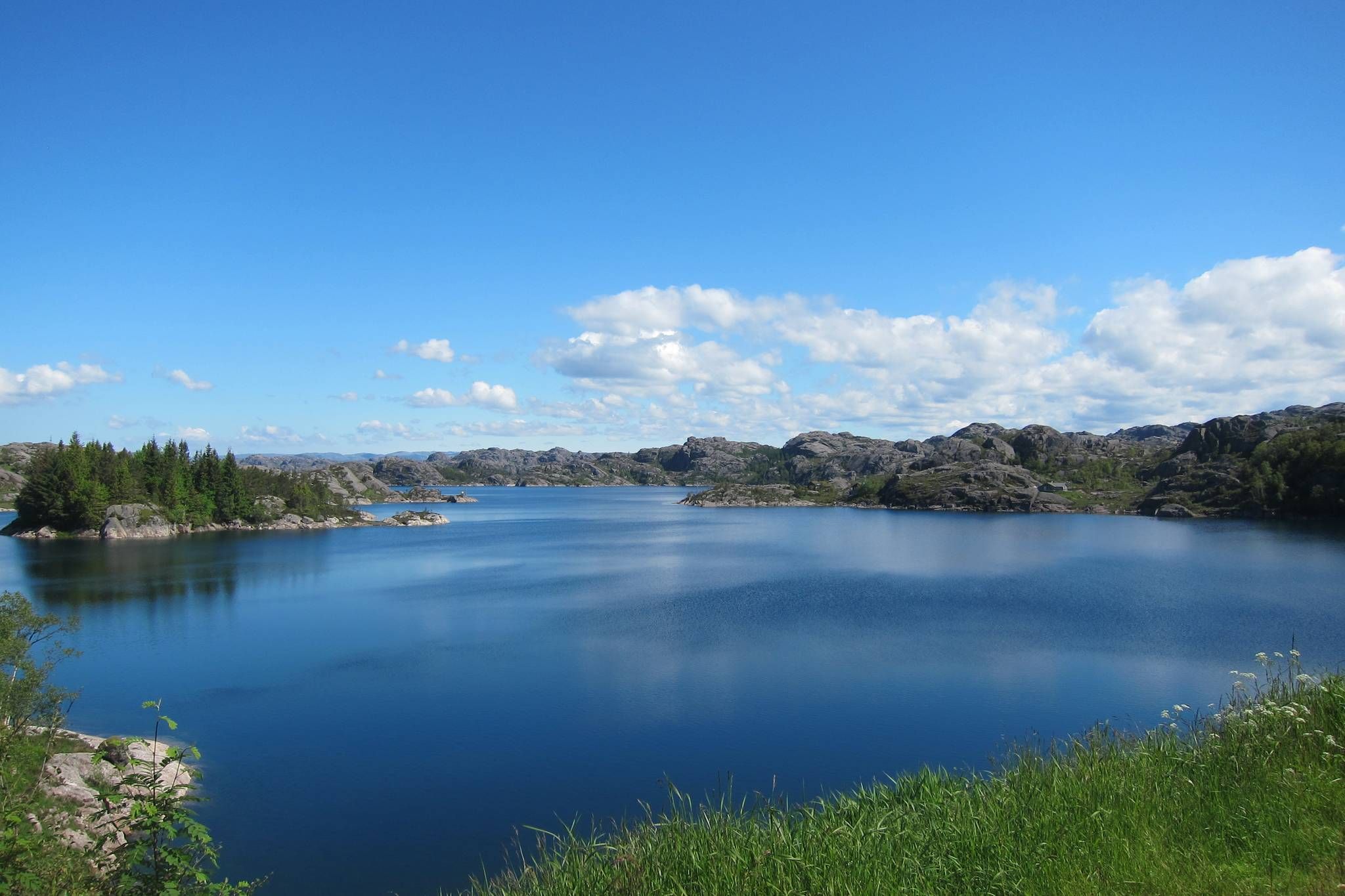
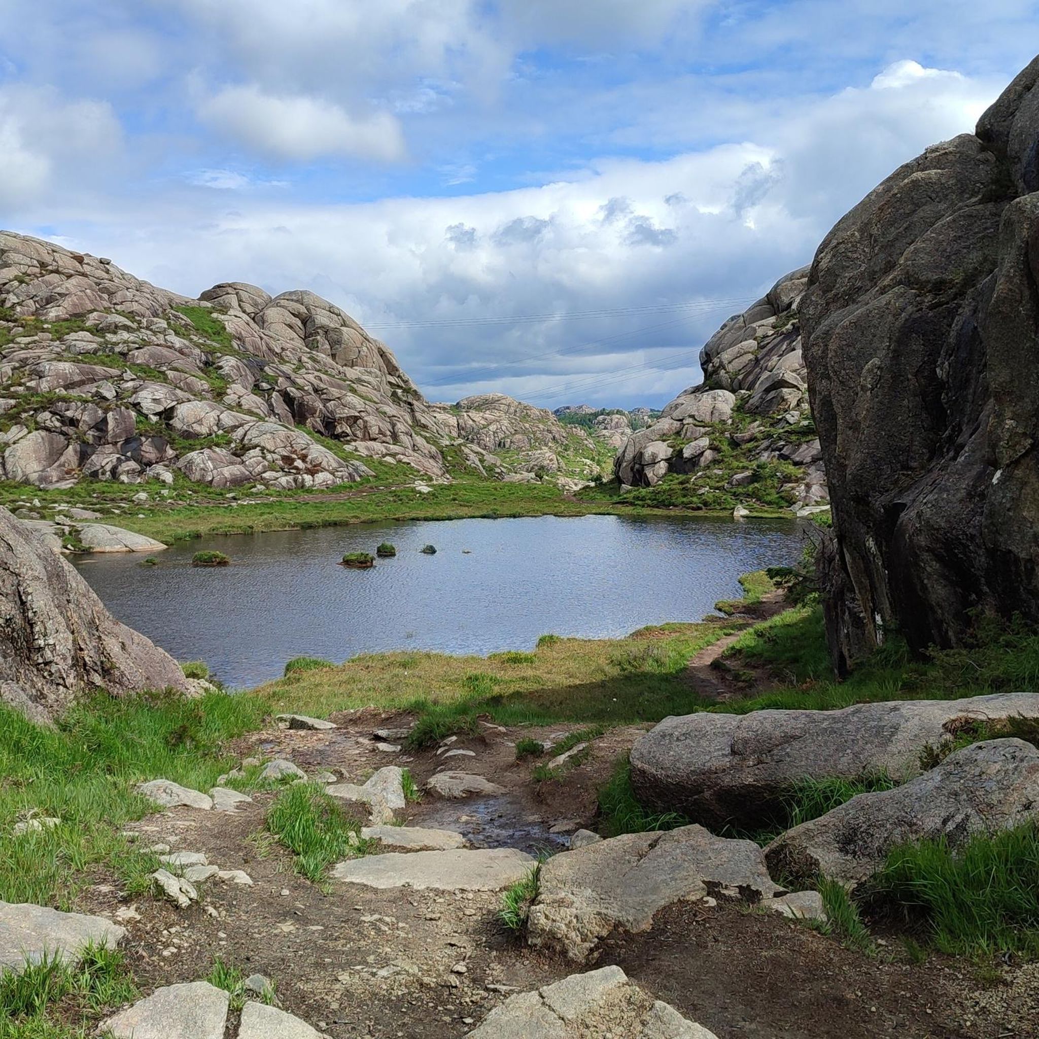
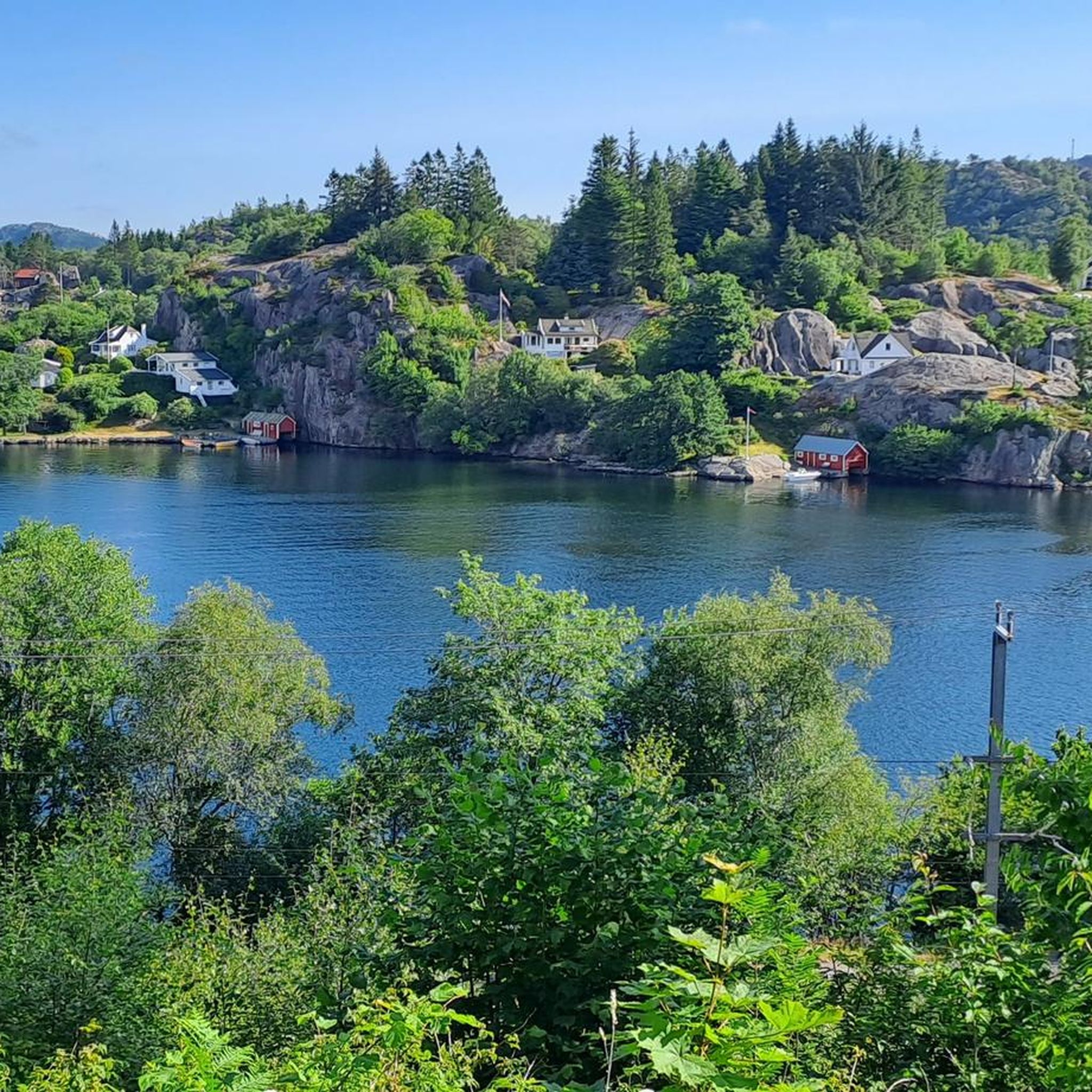
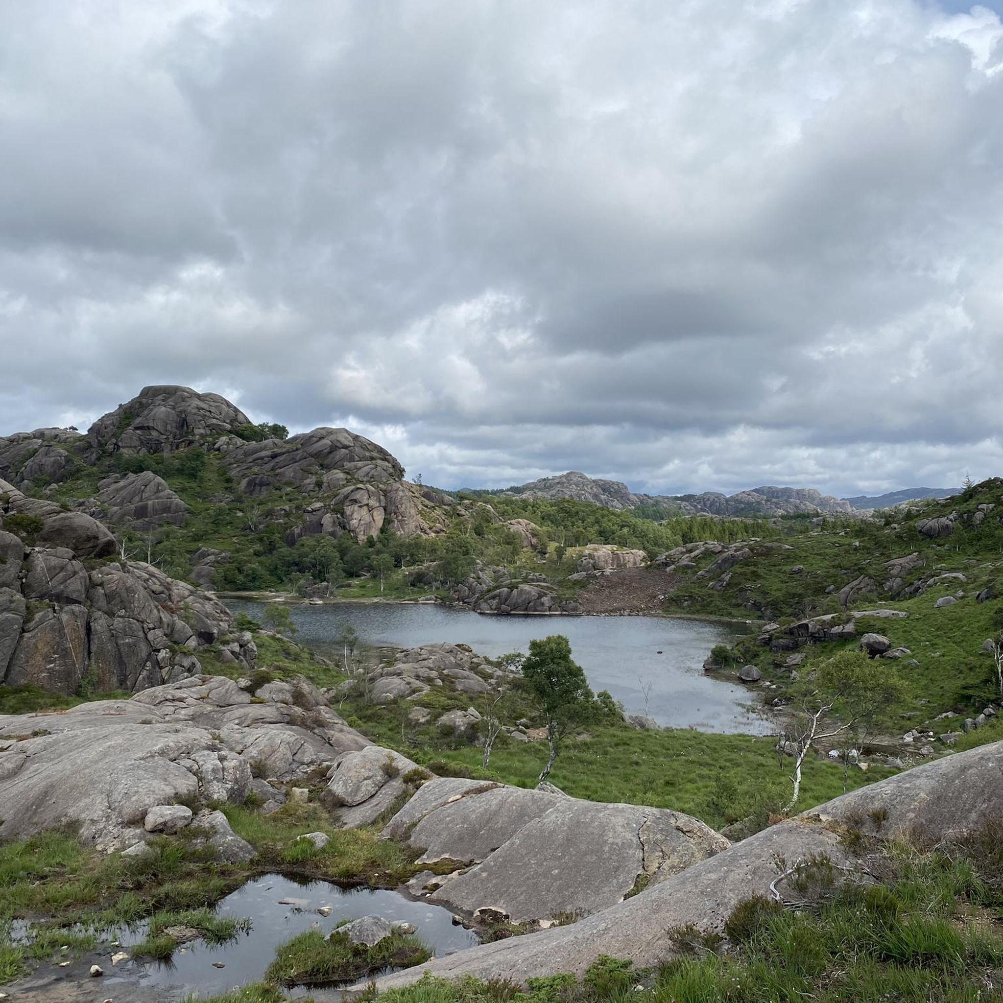
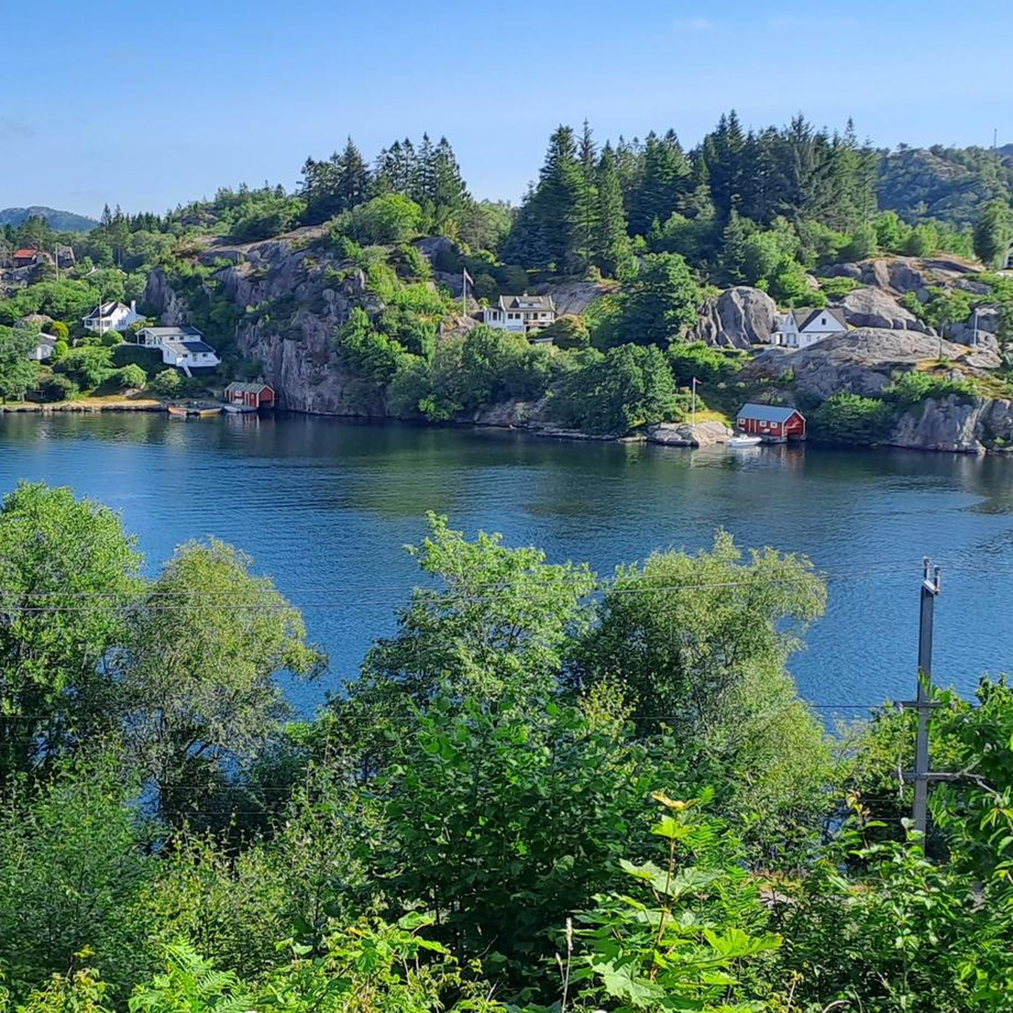
Nice detour from the old railway route. Well marked and arranged path with clear signage. When the water flow is high, it can be challenging to cross the stream from Fossvatn. Beautiful walk along the lake and pond. The view from the top is impeccable, from the lake all the way to the top "big cloud" in the east. Good trip!
0
0
Parking at Skineldvatn, free. Same parking as for the trip to Skykula - recommended as a detour from the tour. Follow Kongestien. Impeccable labeling throughout.
0
0
Parking: Several options; Hompen/Technical department, by Storafjellet kindergarten (not between 06:30 and 17:00 on weekdays) Vikeså school, Samfunnshuset/Bjerkreimshallen - all signposted with exit from Fv 503 after exit from E39 at Vikeså Storafjellet is a mountain peak most people have driven past and undoubtedly seen along the E39. From Vikeså there is a red-marked hiking trail up to the top. In 2020, a great gapahuk/hut was built at the top of the mountain - out on a promontory which gives a very nice view down towards Vikeså.
0
0

Bjørndalsniba offers beautiful views in all directions, you can even see the North Sea. A beautiful path leads from Ogna through the Rabali nature reserve. Definitely recommended.
1
0

Enter the trail from Vikeså and fallow the signs (look for the red dots/ stones) using hiking rails, timber bridges nad steps made last year. Small shelter on top of the mountain (485 m above the sea level) is provided with great view, binoculars, electricity from solar pannels, fire stove nad cettle.
0
1

Vagan Camping is a nice little place in a canyon on the coast. From here you can climb to Oddsfjellet, where the Viking Orvar Odd has his final resting place. The legend / story of his life and death can be read on one of the photos. At the summit there is a cross with 3 arrows that indicate his last wish: he wanted to be buried in a place where he can hear the sea, the rooster and the bells. https://en.wikipedia.org/wiki/%C3%96rvar-Oddr
0
0
Frequently Asked Questions
Which mountain peaks around Eigersund offer the best panoramic views?
For expansive views, consider Storafjellet hikers' shelter, which provides a clear view towards Vikeså. Bjørndalsniba also offers beautiful views in all directions, including the North Sea. Additionally, Launesfjellet rewards hikers with broad vistas of Egersund town, Eigerøy, Sokndal, Bjerkreim, and the North Sea, while Varberg provides superb views of the town and inlet.
Are there any family-friendly mountain hikes in Eigersund?
Yes, Trollpikken is an excellent family-friendly destination, offering an easy hike suitable for various fitness levels with accessible paths. The hike to Trollpikken is approximately 4.57 km and takes about 1 hour and 22 minutes. Varberg is also easily accessible, even suitable for wheelchairs in some sections, and is just a short walk or drive from Egersund's city center.
What historical sites can be found on the mountain peaks in Eigersund?
You can explore the legend of Viking Orvar Odd at the Grave of Viking Orvar Odd on Oddsfjellet, where a cross at the summit marks his final resting place. Varberg also holds historical significance, with rock carvings from the Younger Bronze Age found at its base. Launesfjellet's trail features reminders of railway and wartime history.
What are some unique geological features to see on Eigersund's peaks?
Trollpikken is famous for its distinctive rock formation. The Eigerøy Lighthouse Area, while not a traditional peak, offers a rugged coastal landscape with unique geology and is part of the Magma Geopark. The region as a whole is known for its unique geological formations.
What are the best mountain peaks for a moderately challenging hike?
Launesfjellet is a moderately challenging peak hike with varied terrain and a consistent ascent, offering rewarding views from the top. Storafjellet hikers' shelter, Grave of Viking Orvar Odd on Oddsfjellet, Træla Mountain, Bjørndalsniba, and Soltua Summit are all categorized as intermediate difficulty, providing a good balance of challenge and reward.
Are there any mountain peaks accessible from Egersund city center?
Yes, Varberg is one of the four 'city mountains' very close to Egersund's center. It's accessible within a 15-minute walk or a 5-minute drive, making it very convenient for visitors staying in town.
What outdoor activities can I do near these mountain peaks?
Beyond hiking the peaks, Eigersund offers a variety of outdoor activities. You can find numerous hiking routes, including the popular Trollpikken trail and the scenic path to Eigerøy Lighthouse. For cycling enthusiasts, there are many touring and road cycling routes available. You can explore more options in the Hiking around Eigersund, Cycling around Eigersund, and Road Cycling Routes around Eigersund guides.
What do visitors enjoy most about the mountain peaks around Eigersund?
Visitors appreciate the combination of accessible hiking, unique geological features like Trollpikken, and the rich historical insights found at sites like the Grave of Viking Orvar Odd on Oddsfjellet. The panoramic views from summits such as Storafjellet hikers' shelter and Launesfjellet are also highly valued, along with the well-marked trails like those on Træla Mountain.
Are there any accommodations near the mountain peaks for an overnight stay?
While not directly on a peak, the lighthouse keeper's dwelling at the Eigerøy Lighthouse Area can be rented for an overnight stay, offering a unique experience to witness both sunset and sunrise over the North Sea. Vagan Camping is also a nice little place in a canyon on the coast, from where you can climb to Oddsfjellet.
What are the parking options for hiking to the mountain peaks?
For Storafjellet hikers' shelter, there are several signposted parking options, including Hompen/Technical department, by Storafjellet kindergarten (with time restrictions), Vikeså school, and Samfunnshuset/Bjerkreimshallen. For Træla Mountain, free parking is available at Skineldvatn, which is also used for trips to Skykula.
Can I find trails with good signage and clear paths?
Yes, many trails in the Eigersund area are well-maintained and clearly marked. For instance, Træla Mountain is noted for its impeccable labeling throughout its trail. The path to Soltua Summit is also well-marked and arranged with clear signage.
Most popular routes around Eigersund
Most popular attractions around Eigersund

Get inspired with the komoot mobile app


Explore more
See even more amazing summits around Eigersund with these guides:
