The 9 Most Amazing Peaks around Gaianes
Best mountain peaks around Gaianes are primarily defined by the Sierra de Benicadell, a prominent natural feature. This mountain range forms a natural border between the provinces of Alicante and Valencia. The area is characterized by a distinctive ridge and is protected by the Generalitat Valenciana, recognizing its environmental and landscape value. Gaianes serves as a direct starting point for ascents into this mountainous region.
Best mountain peaks around Gaianes
- The most popular mountain peaks is Montcabrer Summit, a…
Last updated: July 3, 2026
Montcabrer Summit
Highlight • Summit
Translated by Google •
Tip by

View of Alt de Benicadell
Highlight • Summit
Translated by Google •
Tip by

Sign up now to discover places like this
Get recommendations on the best single tracks, peaks, & plenty of other exciting outdoor places.
Sign up for free
Summit of Pico Teix
Highlight • Summit
Translated by Google •
Tip by

Views of Benicadell
Highlight • Viewpoint
Translated by Google •
Tip by
Beautiful views of Benicadell
Highlight • Summit
Translated by Google •
Tip by

Sign up for free to discover even more peaks around Gaianes.
Sign up for free
Already have an account?
Start today with a free account
Your next adventure awaits.
Login or Signup

Tips from the Community

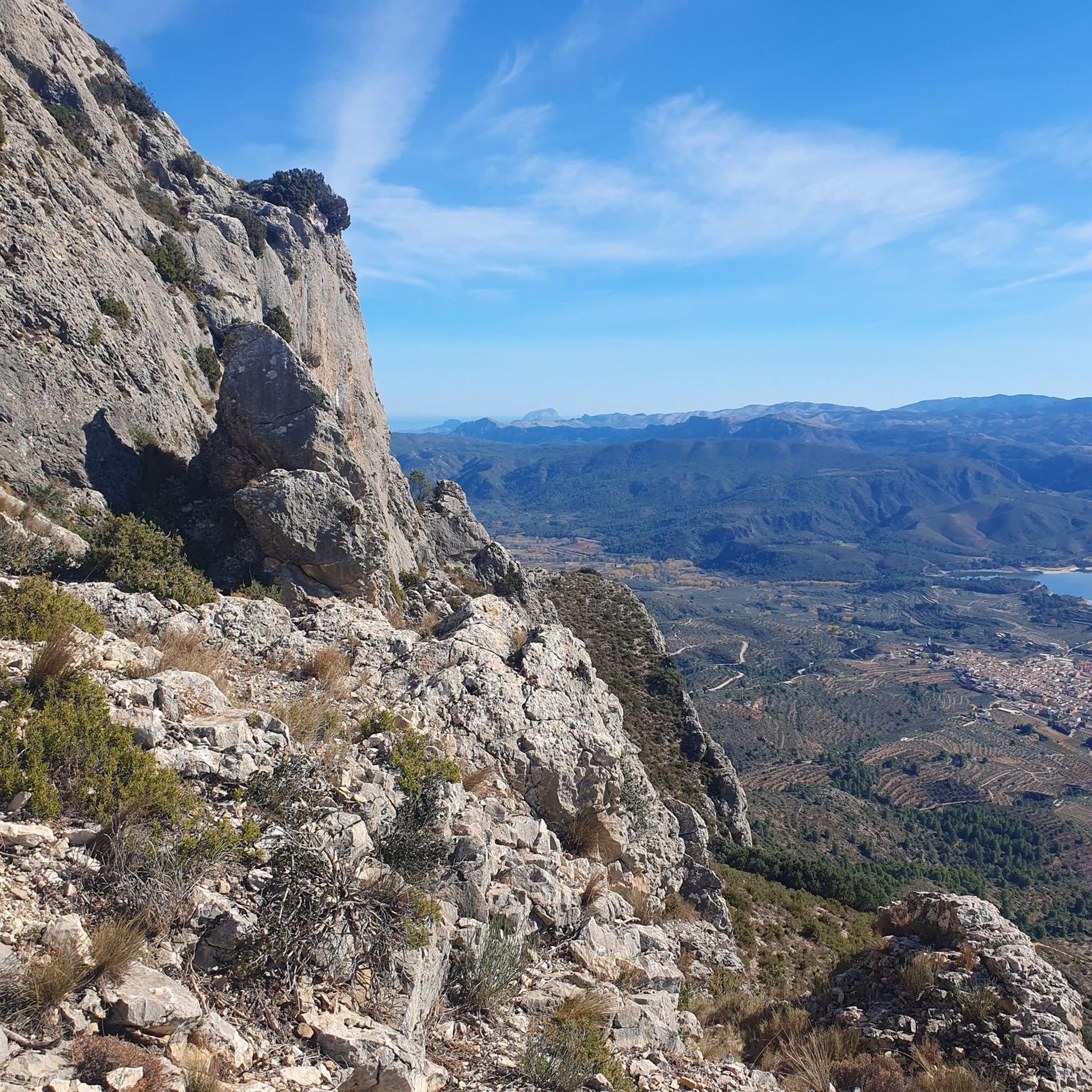
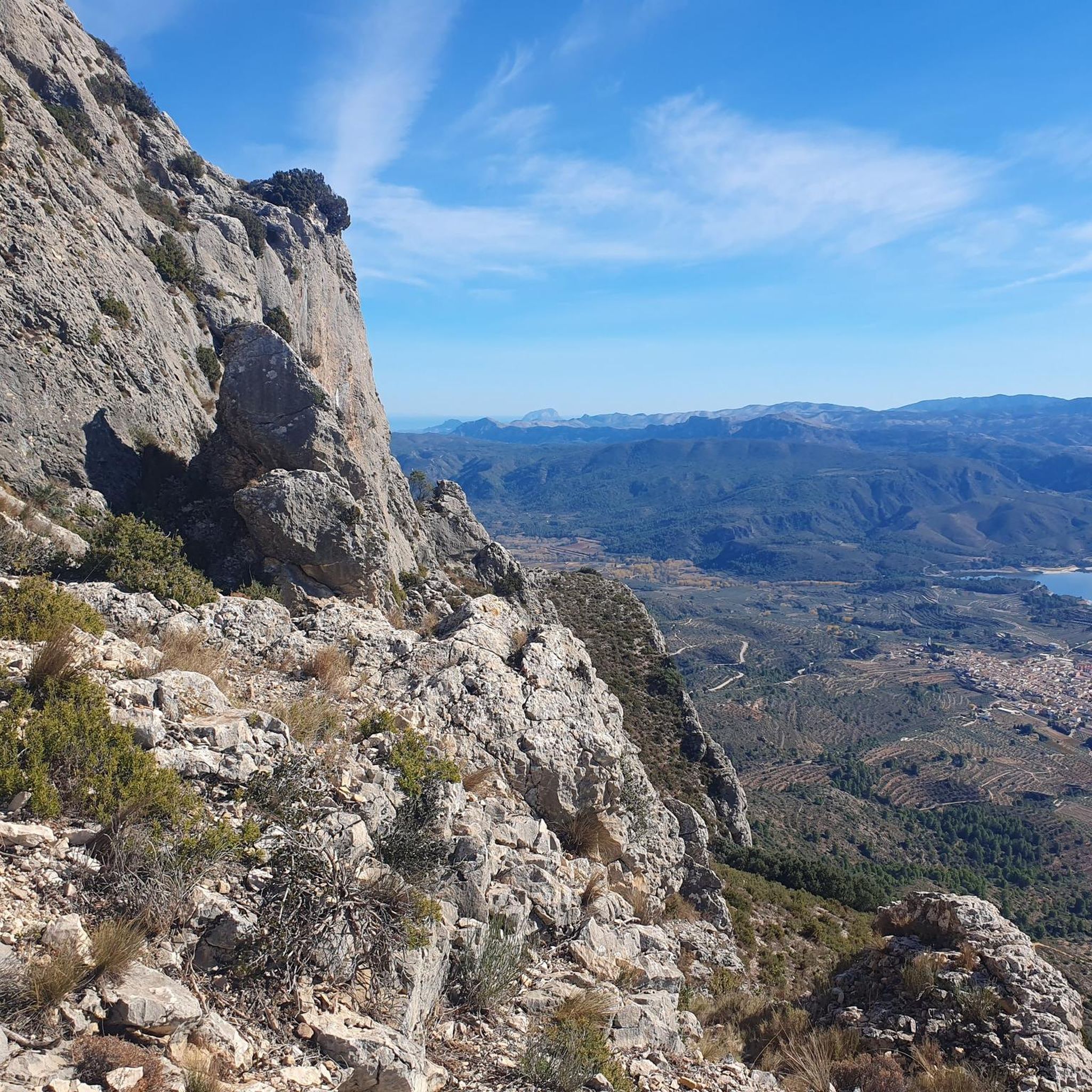
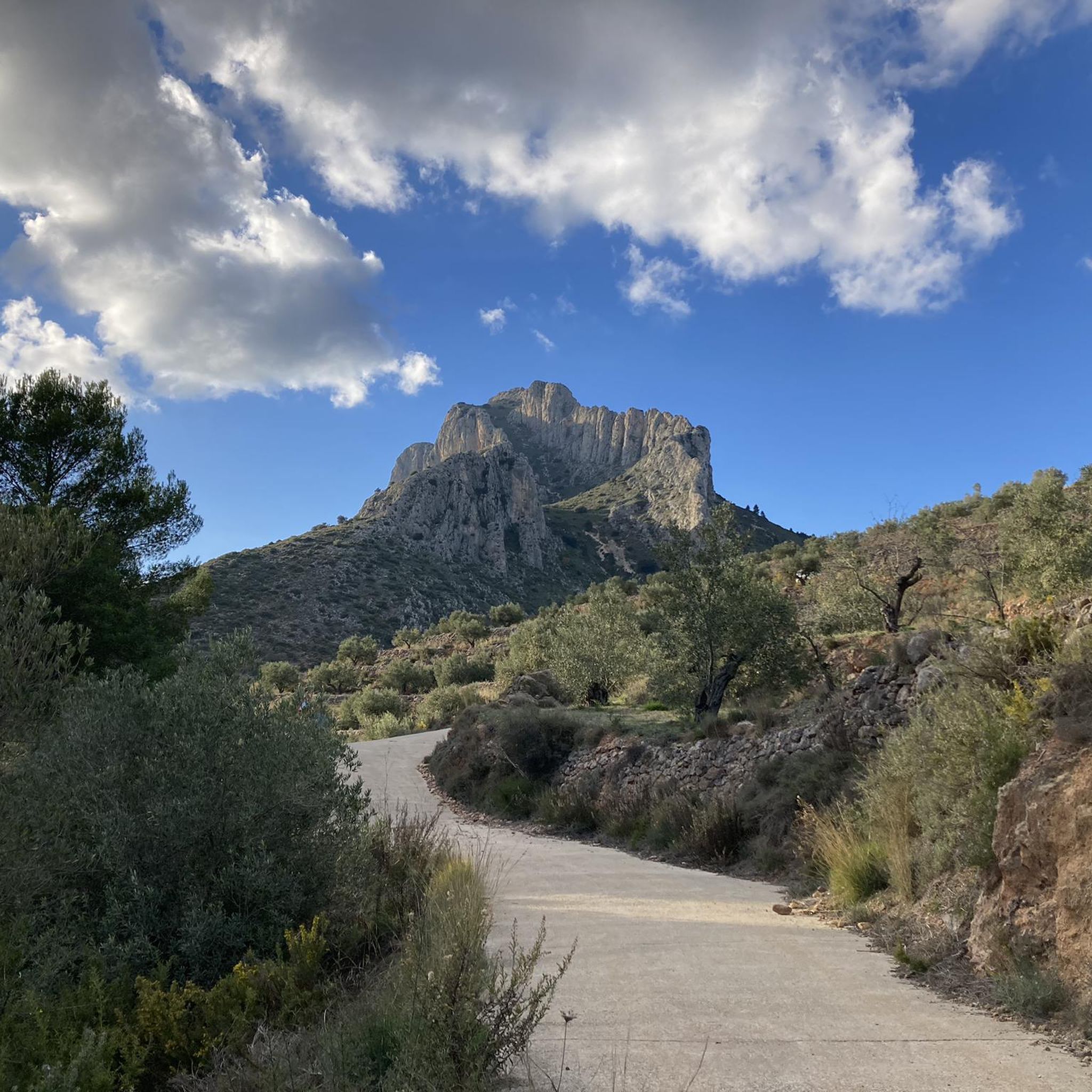
There are several points along this route from which you can admire the impressive silhouette of the Benicadell massif. The Alt de Benicadell, with a height of 1,105 metres, is a prominent peak in the Sierra de Benicadell, which forms a natural border between the provinces of Valencia and Alicante. The region around the Benicadell offers numerous opportunities for cycling tours that lead through varied landscapes with impressive views.
5
0

Place from which you have the most spectacular views of this incredible mountain.
1
0


The Benicadell accompanies the cyclist during the ascent and descent of the mountain pass between Castelló de Rugat and Beniarrés.
2
0
El Benicadell is the highest peak (1,104 m) of the mountain range of the same name. It is a mountainous wall that separates the Valencian regions of the Vall d'Albaida and the County. With a Betic (external Prebetic specifically) direction from north-east to south-west, the characteristic peak of Benicadell has the form of a rocky ridge of calcareous lithology that gives uniqueness to the landscape.
1
0

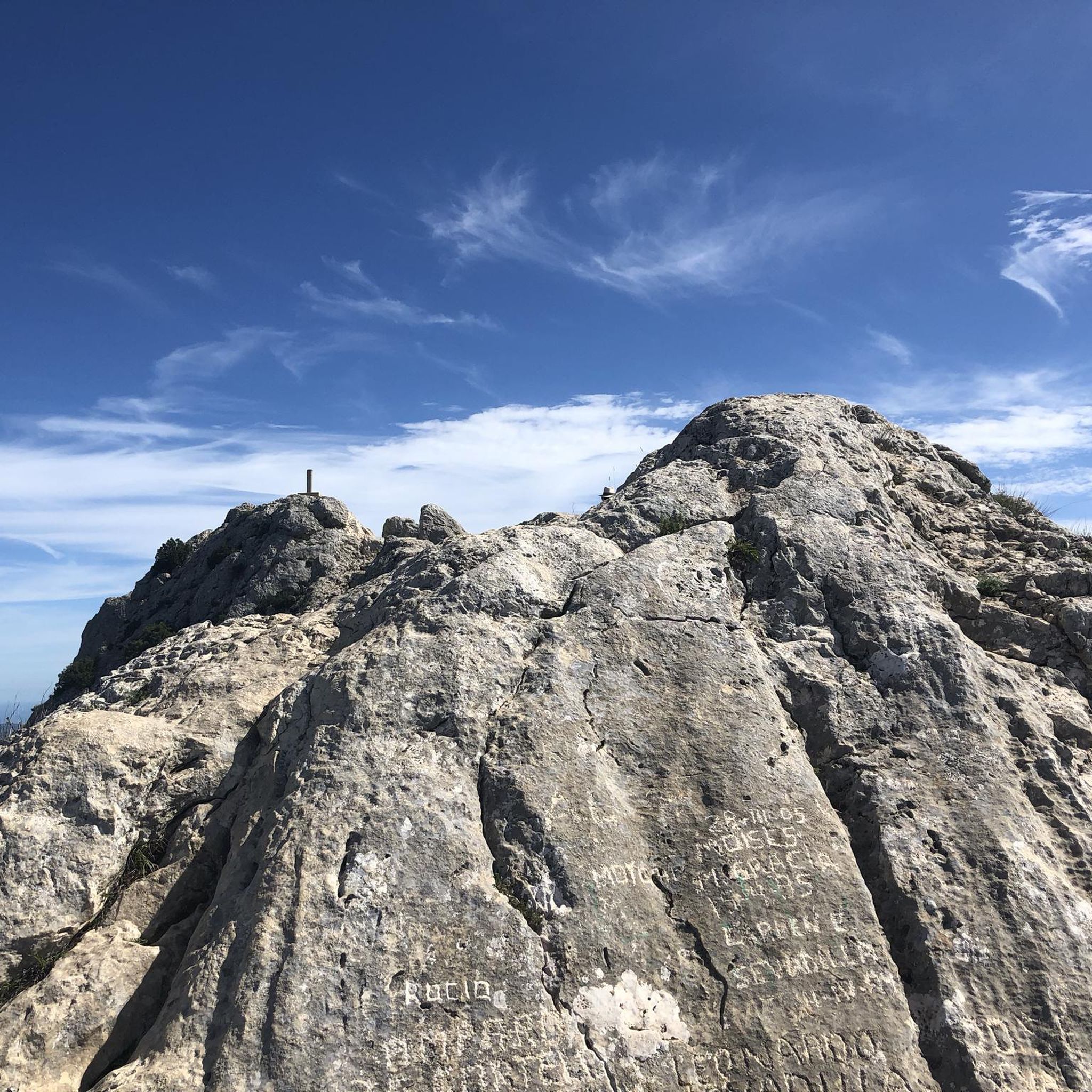
From its 1,390 meters above sea level, the top of Montcabrer is the panoramic point par excellence of the Parc Natural Serra de Mariola. From here you can see other peaks such as Aitana, Puig Campana and in the distance the summit of Montgó and Benicadell. You can reach the top by several alternative paths and trails of varying difficulty, it's all up to you!
2
0
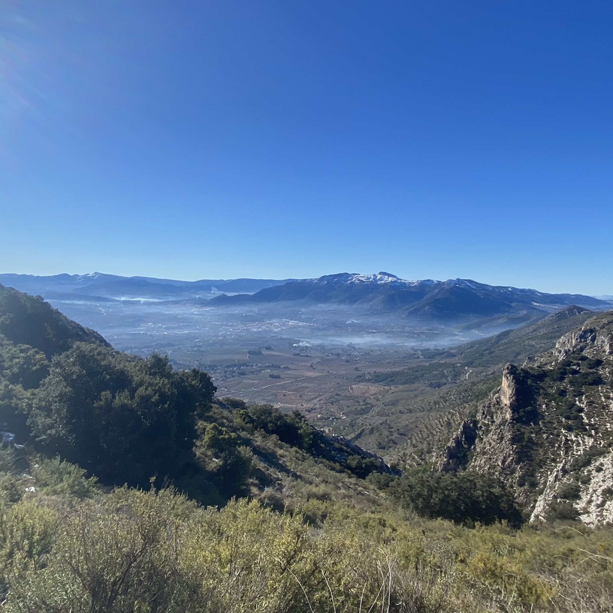
The top of Pico Teix at 1265 meters above sea level offers amazing 360 views! It can be connected to several paths both from Cocentaina and from Agres through the forest path of l'Ombria in excellent condition. It deserves to visit it because the views are incredible!
2
0

In the Sierra de Mariola Natural Park. The road ends at the ruins of Mas de Llopis. From this point, a well-marked path takes us in about 45 minutes to the top of Montcabrer.
6
2
Frequently Asked Questions
What are the most popular mountain peaks around Gaianes?
The region around Gaianes is dominated by the Sierra de Benicadell. Among the most popular peaks are Montcabrer Summit, known for its exceptional panoramic views across Alicante and southern Valencia, and Summit of Pico Teix, which offers amazing 360-degree views from its 1265-meter top. The View of Alt de Benicadell, at 1,105 meters, is also highly regarded for its impressive vistas of the Benicadell massif and the Beniarrés reservoir.
What kind of views can I expect from the mountain peaks near Gaianes?
From the mountain peaks around Gaianes, especially from the summit of Benicadell, you can expect exceptional 360-degree panoramic views. These vistas stretch across the provinces of Alicante and Valencia, encompassing the Serpis River valley, surrounding mountain ranges, and on clear days, even the Alicante coastline and Denia. Peaks like Montcabrer and Pico Teix also offer incredible wide-ranging views of the natural parks and distant landmarks.
What are the difficulty levels of hiking trails to the mountain peaks around Gaianes?
Hiking trails to the mountain peaks around Gaianes vary in difficulty. Ascents to Benicadell, particularly from Gaianes via the south face, are considered physically demanding and can involve rocky paths and occasional scrambling. Other peaks like Montcabrer and Pico Teix also offer routes of varying difficulty, from moderate to challenging, with some sections requiring scrambling. It's advisable to check specific route details for the difficulty level before setting out.
Are there any historical elements to discover on the mountain peaks?
Yes, the Sierra de Benicadell holds historical elements. Along its routes, visitors can find the 'Cava del Benicadell' or 'Benicadell Ice House,' an old snow well that was historically used for storing ice. This offers a glimpse into the region's past and traditional practices.
What natural features and biodiversity can I find in the Sierra de Benicadell?
The Sierra de Benicadell is a protected landscape, recognized for its significant environmental and landscape value. You'll find diverse terrain ranging from olive groves and aromatic rosemary to ancient stone terraces. The protected status of areas like Ombria del Benicadell and Solana del Benicadell contributes to a rich natural heritage, offering opportunities to observe varied flora and fauna.
What outdoor activities can I do near the mountain peaks around Gaianes?
Beyond summiting peaks, the area around Gaianes offers a variety of outdoor activities. You can explore numerous hiking trails, with options ranging from moderate to difficult. For cyclists, there are challenging routes for both road cycling and gravel biking. You can find more details on specific routes in our guides for Hiking around Gaianes, Cycling around Gaianes, and Gravel biking around Gaianes.
Are there specific hiking routes recommended for the Sierra de Benicadell?
Yes, several hiking routes are recommended for exploring the Sierra de Benicadell. Notable options include the 'Ombria del Benicadell Trail (PR-CV 213)', and various loops that incorporate the 'Benicadell Ice House' and the 'Benicadell Summit' starting from nearby towns like Beniatjar or Beniarrés. These routes offer different lengths and difficulty levels, providing rewarding experiences for hikers. You can find more details in our Hiking around Gaianes guide.
What is the best time of year to hike the mountain peaks around Gaianes?
The best time to hike the mountain peaks around Gaianes generally depends on your preference for weather conditions. Spring and autumn offer milder temperatures, making them ideal for longer and more challenging hikes. Summer can be very hot, so early morning or late afternoon hikes are recommended, focusing on shaded routes. Winter can also be suitable, though higher elevations might experience colder temperatures.
Are there family-friendly mountain walks around Gaianes?
While some ascents to the main peaks can be challenging, the broader region around Gaianes and the Sierra de Benicadell offers varied landscapes. There are likely easier paths and sections suitable for families, especially those that don't aim for the highest summits but still offer scenic views and a taste of the natural environment. Look for routes described as 'moderate' or 'intermediate' that might have less elevation gain or technical sections.
Is Gaianes a good starting point for mountain ascents?
Yes, Gaianes serves as a direct starting point for ascents into the mountainous region, particularly for routes leading to the Sierra de Benicadell. Trails often lead from the town, passing landmarks like the Hermitage of Sant Francesc, making it a convenient base for exploring the surrounding peaks.
Where can I find parking for hiking in the Gaianes mountains?
As Gaianes is a direct starting point for many mountain ascents, you can typically find parking within the town itself or at designated trailheads just outside the village. It's advisable to check local signage or specific route descriptions for the most convenient parking spots for your chosen hike.
Are there amenities like cafes or accommodation near the mountain trails in Gaianes?
Gaianes, being a municipality, offers basic amenities. You can expect to find local cafes or small eateries within the town where you can refuel before or after your hikes. For accommodation, there might be guesthouses or rural lodgings available in Gaianes or nearby villages, providing a convenient base for exploring the mountain peaks.
Most popular routes around Gaianes
Most popular attractions around Gaianes

Get inspired with the komoot mobile app


Explore more
See even more amazing summits around Gaianes with these guides:
