The 6 Most Amazing Peaks around Jarafuel
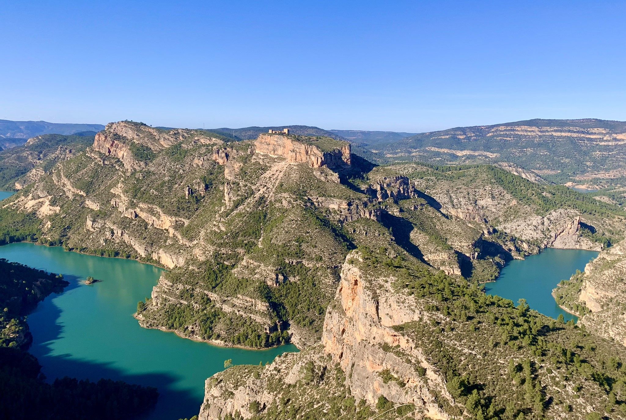
Best mountain peaks around Jarafuel are found within the wider Ayora-Cofrentes Valley region, characterized by a landscape of hills, mountains, valleys, and rivers. This area offers a combination of natural features and historical sites. The region provides opportunities for exploring diverse ecosystems, including holm oak forests and limestone cliffs. Significant peaks and mountainous areas contribute to the varied terrain available for outdoor activities.
Best mountain peaks around Jarafuel
- The most popular mountain peaks is Agrás Volcano, a volcano that…
Last updated: July 3, 2026
Pico de Caroche
Highlight • Summit
Translated by Google •
Tip by

Agrás Volcano
Highlight • Volcano
Translated by Google •
Tip by

Sign up now to discover places like this
Get recommendations on the best single tracks, peaks, & plenty of other exciting outdoor places.
Sign up for free
Hermitage and Geodetic Vertex of Montemayor
Highlight • Religious Site
Translated by Google •
Tip by

La Hunde picnic area
Highlight • Rest Area
Translated by Google •
Tip by
Alto del Cinto de la Cabra
Highlight • Viewpoint
Translated by Google •
Tip by
Sign up for free to discover even more peaks around Jarafuel.
Sign up for free
Already have an account?
Start today with a free account
Your next adventure awaits.
Login or Signup

Other adventures around Jarafuel

Tips from the Community

Spectacular views, although the climb from Cortes de Pallas along the Muela ridge is very tough.
0
0

Wow how beautiful! And the trip itself is what it's all about. What a beautiful rugged area.
2
0
Caroche or Caroig peak is a 1,126 meter mountain, located in Teresa de Cofrentes. It is located in the massif that receives the same name (Macizo del Caroig), located between the regions of "El valle de Ayora-Cofrentes" and the "Canal de Navarrès" and belonging to the municipality of "Teresa de Cofrentes", bordering the municipal area of Bicorp. It has a height of 1,126 meters above sea level. At its highest point there is a fire surveillance post, from which you can see a large part of the regions of Valencia, seeing the sea and the city of Cullera on the clearest days. On the slopes of this massif small streams grow such as “El Río Fraile” or the famous, among the locals of Teresa, “La Argongeña”. It is sometimes mispronounced "La Longeña". The entire geography is dotted with ravines, caves and very deep crevices, such as those found in the Las Quebradas area...
0
0

The Caroche peak is located 1125 meters above sea level. I invite you to stop along the way and contemplate the privileged views that you get from this point. Here you can find the forestry hut and some information panels about the surrounding mountains.
0
0

View from the hermitage of Montemayor
0
0

Easy to drive, the approach was on asphalt, no possibility. Great views even from the bike.
1
0
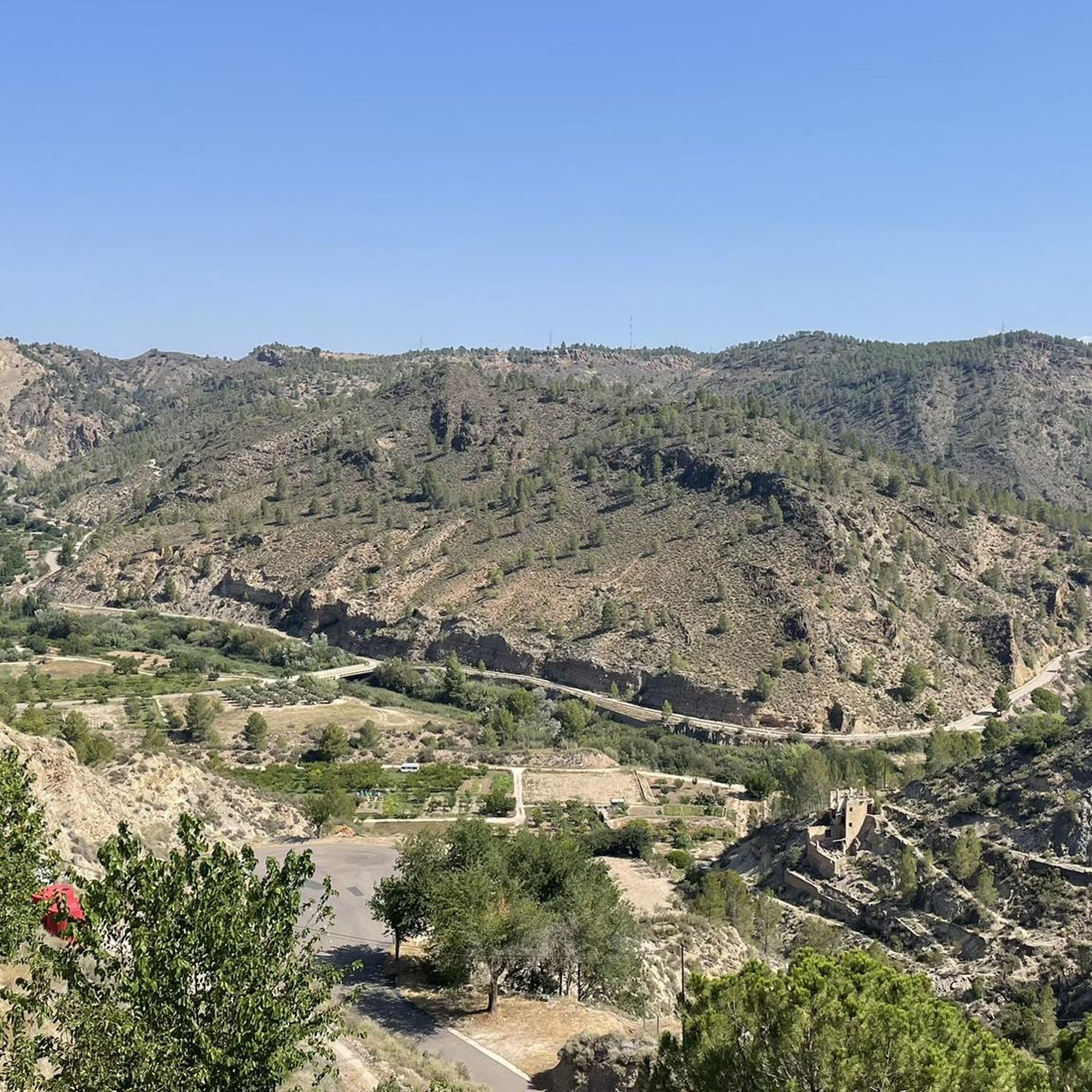
In this corner of the Ayora Valley there is a jewel that makes it very special. It is the dormant volcano of Agrás, whose spring waters are used in the Hervideros spa.
2
1

The history of the Cofrentes volcano (or Agrás volcano) goes back millions of years, as it is estimated that the last eruption took place between 1 and 2.6 million years ago. The fissuring of the Eurasian plate caused the belt of volcanoes in the Gulf of Valencia, of which Cofrentes, Picassent and Columbretes Islands stand out today.
9
1
Frequently Asked Questions
What are some of the most notable mountain peaks and areas to visit near Jarafuel?
The Ayora-Cofrentes Valley, which encompasses Jarafuel, offers several significant peaks and mountainous areas. Highlights include Pico de Caroche, known for its panoramic views, and the unique Agrás Volcano, a dormant volcano with spring waters used in the Hervideros spa. Other notable areas include Pico Palomera, offering authentic mountaineering, and Castellar de Meca, a mountain-top archaeological site.
Are there any historical or archaeological sites on the mountain peaks around Jarafuel?
Yes, Castellar de Meca is a significant historical site located on a mountain top near Ayora. It was an Iberian settlement dating back to 600 B.C., featuring ancient walls, cisterns, carved stairs, and the remarkable "Camino Hondo," a deep, excavated road. This site offers a unique blend of history and scenic views.
What kind of views can I expect from the mountain peaks in the region?
Many peaks offer breathtaking panoramic views. From Pico de Caroche, you can see in all directions, including glimpses of the sea and the city of Cullera on clear days. Pico Palomera provides magnificent views of southern Aragon, including the Jiloca valley and various Sierras. The Hermitage and Geodetic Vertex of Montemayor offers incredible 360º views of the entire Ayora Valley, extending to Almansa and Alpera.
Are there family-friendly mountain walks or activities near Jarafuel?
Yes, the Hoz de Zarra Trail, located in the nearby municipality of Zarra, is a moderate 12.8 km route that takes hikers through varied terrain and an "enchanted forest" adorned with colorful crochet work. It also features points of interest like Cueva Vallés and the Mirador del Diablo, making it appealing for families. Additionally, the La Hunde picnic area offers a quiet natural setting with picnic tables and barbecue facilities, ideal for a family outing.
What are the best hiking trails near Jarafuel's mountain peaks?
For an authentic mountaineering experience, consider the Ruta de la Hunde y Pico Palomera, which offers impressive views of the Sierra de Ayora. The Peñas de Sala Trail, starting from Teresa de Cofrentes, is a moderate circular hike (9.42 km) through extensive pine forests with great views. For more challenging routes, you can explore the running trails around Jarafuel, some of which are quite demanding.
What unique natural features can I find on the mountain peaks around Jarafuel?
The region boasts diverse ecosystems, including holm oak forests and limestone cliffs, which serve as a refuge for mountain goats, particularly around Pico Palomera. The Agrás Volcano is a unique geological feature, a dormant volcano whose last eruption was millions of years ago. You can also find a peculiar arch sculpted in the rock near Pico Palomera.
What outdoor activities, besides hiking, can I do near these mountain peaks?
The mountainous terrain around Jarafuel is excellent for various outdoor sports. You can find numerous cycling routes, including challenging road cycling options like the Teresa de Cofrentes and Cinto de la Cabra Loop. There are also several running trails that allow you to explore the diverse landscapes.
What is the elevation of some of the prominent peaks in the Jarafuel area?
Pico Caroche stands at 1,126 meters above sea level, offering extensive views. Pico Palomera reaches an altitude of 1,260 meters or 1,345 meters, depending on the source. Castellar de Meca, while also an archaeological site, is situated on a mountain top at 1,218 meters elevation.
Are there any viewpoints that are easily accessible or offer particularly rewarding views?
The Alto del Cinto de la Cabra is a viewpoint offering beautiful, quiet views of the valley, and its approach can be relatively easy. The Hermitage and Geodetic Vertex of Montemayor also provides incredible 360º views after an ascent, rewarding the effort with expansive vistas.
What do visitors enjoy most about the mountain peaks around Jarafuel?
Visitors frequently praise the incredible panoramic views from peaks like Pico de Caroche, noting that the physical effort to reach the top is well worth it. The rugged beauty of the area and the opportunity to explore unique natural and historical sites, such as the dormant Agrás Volcano, are also highly appreciated.
Can I find places to rest or have a picnic while exploring the mountains?
Yes, the La Hunde picnic area is a very quiet natural setting with picnic tables, barbecue areas, and toilets. It also has a spring for water. The Hermitage of Montemayor also offers a place to rest, with an algive for fresh water and a fireplace inside.
Most popular routes around Jarafuel
Most popular attractions around Jarafuel

Get inspired with the komoot mobile app


Explore more
See even more amazing summits around Jarafuel with these guides:
