Top 7 Gorges around Algimia De Alfara
Best canyons around Algimia De Alfara are found within a region characterized by mountainous landscapes and riverine features. Algimia De Alfara is situated between the Sierra de Espadán and Sierra Calderona natural parks, which contain numerous ravines, rocky outcrops, and gorge-like formations. The Palancia River also flows through the area, contributing to the natural landscape with its riverbed and terraces. This geography provides varied terrain for outdoor exploration.
Best canyons around Algimia De Alfara
- The most popular canyons is Trail…
Last updated: July 4, 2026
Crossing el barranco del Olocau
Highlight • Gorge
Tip by

Trail Along Barranco Codobal
Highlight • Trail
Translated by Google •
Tip by

Sign up now to discover places like this
Get recommendations on the best single tracks, peaks, & plenty of other exciting outdoor places.
Sign up for free
Barranco del Carraixet – End of Lomo con Queso and SX Trail
Highlight • Gorge
Translated by Google •
Tip by
Valoria Gorge
Highlight • Gorge
Translated by Google •
Tip by
View of Olocau and the Cliffs of Cova del Cavall
Highlight • Viewpoint
Translated by Google •
Tip by

Sign up for free to discover even more gorges around Algimia De Alfara.
Sign up for free
Already have an account?
Start today with a free account
Your next adventure awaits.
Login or Signup
Popular around Algimia De Alfara
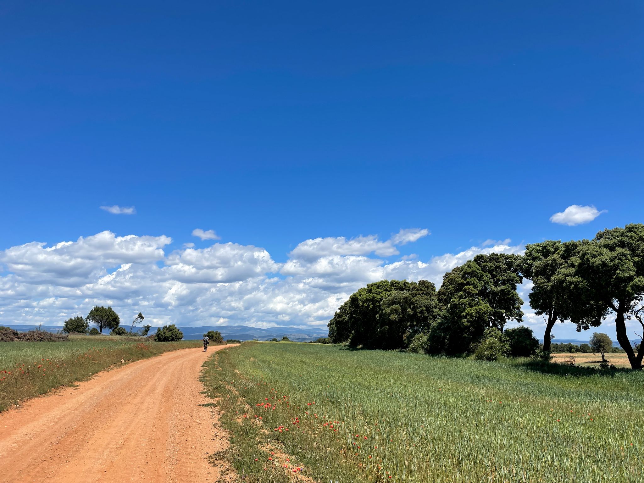
El Camino del Cid – conquest of Valencia by gravel bike
El Camino del Cid – The Conquest of Valencia on MTB
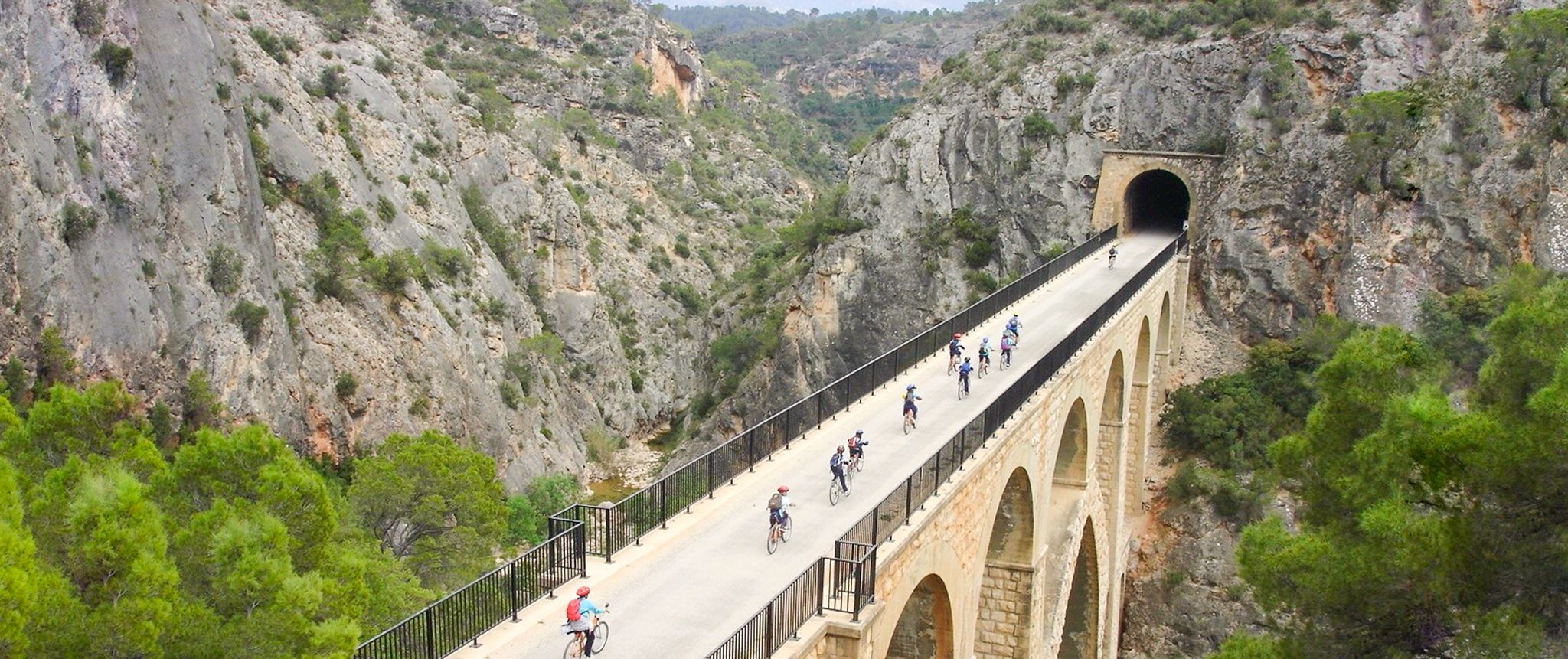
Vías Verdes – traffic-free cycling along railway history in Spain
Road Cycling Routes around Algimia De Alfara
MTB Trails around Algimia De Alfara
Running Trails around Algimia De Alfara
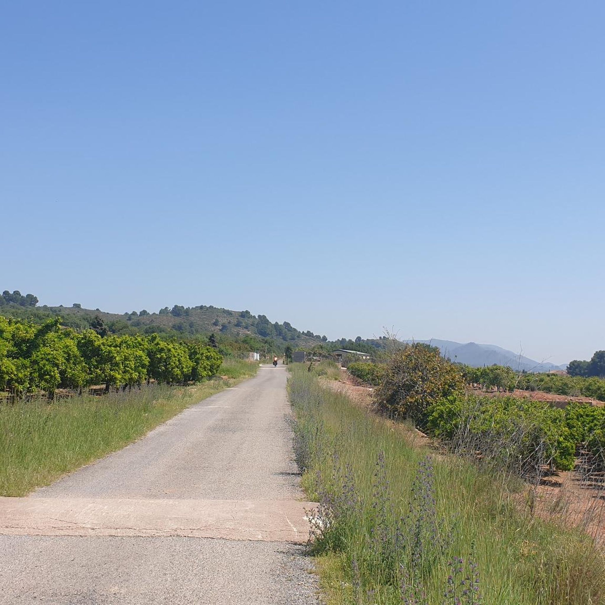
Cycling around Algimia De Alfara
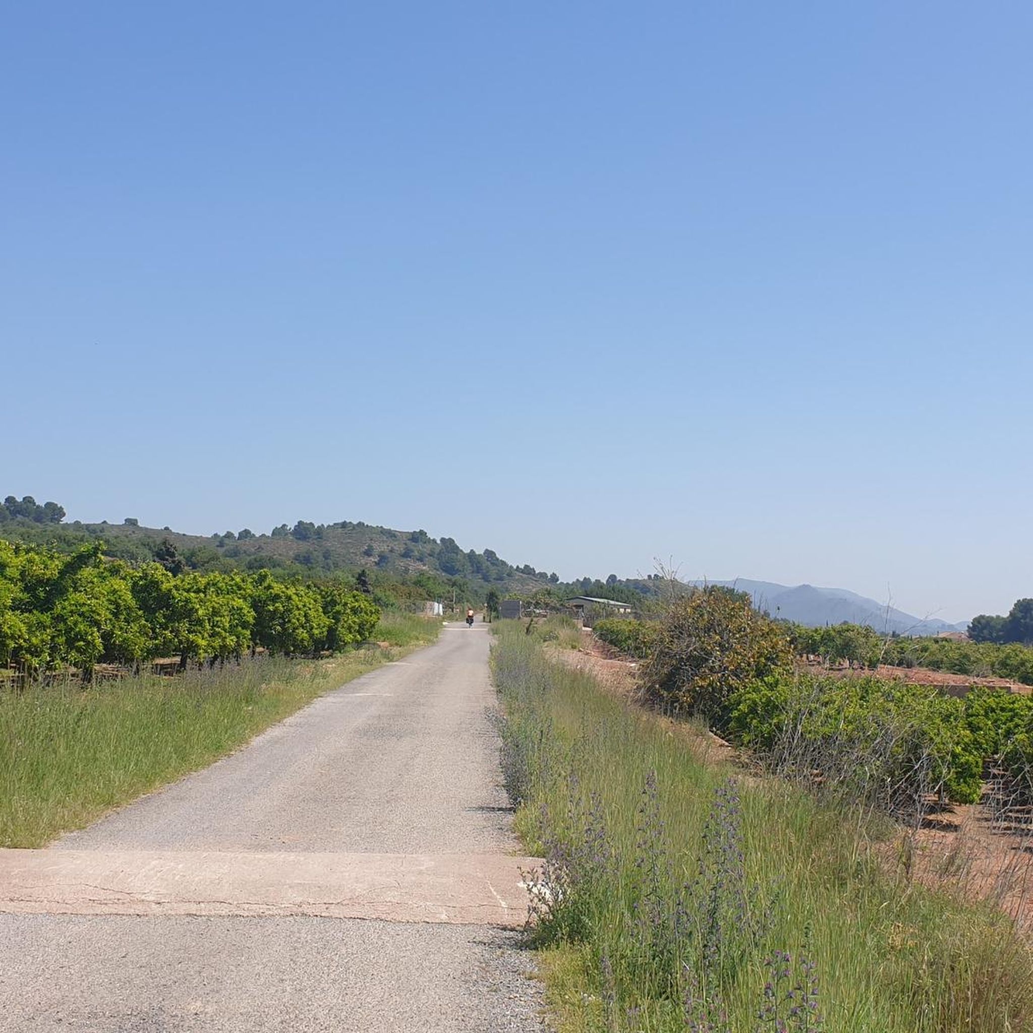
Hiking around Algimia De Alfara

Gravel biking around Algimia De Alfara
Other adventures around Algimia De Alfara


Tips from the Community

Technical and fun route
0
0

Point from which you can see Olocau and its orchard area in the bed of the Barranco de Olocau. You get there by climbing a path with wooden steps just outside the town, in the park where L'Arquet is. Be careful with the cliff at the top.
0
0

Very fast path, to enjoy a lot.
0
0

Very nice place. If water is high there are big stones to cross. I could not find my trail from this place to go up - despite it displayed in Komoot, it not exists anymore, I could just see grown huge vegetation an no trail to stay on the other side of the barranco.
1
0

It rarely goes through this ravine with water, so going on days after the rains is a joy.
2
0
on days of heavy rain you will have to skirt the ravine. The normal thing is to be able to go directly through the ravine to go to the paths. the Olocau dam is about 150m up the ravine.
1
0

there are spectacular views and cliffs that give vertigo. wear good hiking boots because the route is quite steep at times
2
0
Very clean and fun trail, it runs parallel to the ravine and the forest track.
2
0
Frequently Asked Questions
What kind of canyon-like features can I expect to find around Algimia de Alfara?
While Algimia de Alfara itself doesn't have deep, narrow canyons, the surrounding region is rich in natural features that offer similar experiences. You'll find numerous ravines (known as "barrancos"), rocky outcrops, and riverine landscapes, particularly within the nearby Sierra de Espadán and Sierra Calderona Natural Parks. The Palancia River also contributes with its wide riverbed and natural pools.
Which are the most popular gorge-like areas or trails near Algimia de Alfara?
Visitors frequently enjoy areas such as Trail Along Barranco Codobal, which runs parallel to a ravine and forest track, offering a technical and fun experience. Another popular spot is Barranco del Carraixet – End of Lomo con Queso and SX Trail, where you can often go directly through the ravine to access paths. The Cave of the Estampida Trail also offers a path through a ravine with curious walls and a lush forest.
What natural parks are close to Algimia de Alfara that offer gorge exploration?
Algimia de Alfara is ideally situated between two significant natural parks: the Sierra de Espadán and Sierra Calderona. Both parks are characterized by extensive networks of ravines, rocky cliffs, and diverse Mediterranean forests, providing excellent opportunities for exploring gorge-like terrain and enjoying outdoor activities.
Are there specific viewpoints to enjoy the canyon landscapes?
Yes, a notable viewpoint is the View of Olocau and the Cliffs of Cova del Cavall. This spot offers spectacular views and cliffs that provide extensive panoramic vistas of the surrounding landscape, including Olocau and its orchard area in the bed of the Barranco de Olocau.
What outdoor activities can I do in the gorge areas near Algimia de Alfara?
The mountainous and riverine landscapes around Algimia de Alfara are perfect for various outdoor activities. You can enjoy hiking through scenic barrancos, exploring natural water features, and even canyoning in suitable areas. For more structured routes, you can find options for running, road cycling, and gravel biking in the nearby natural parks.
Are there family-friendly options for exploring the ravines?
Many trails in the Sierra de Espadán and Sierra Calderona Natural Parks offer varying difficulty levels, making some suitable for families. While specific 'family-friendly canyoning' routes aren't highlighted, general hiking paths through the ravines can be enjoyed by families, especially those with a sense of adventure. Always check the route's difficulty and length before heading out with children.
Can I bring my dog on trails in the canyon areas?
Generally, many natural parks in Spain, including Sierra Calderona and Sierra de Espadán, allow dogs on trails, often requiring them to be on a leash. It's always best to check specific park regulations or local signage before your visit to ensure compliance and a safe experience for your pet and other visitors.
What is the best time of year to visit the gorges and ravines near Algimia de Alfara?
The region enjoys a Mediterranean climate. Spring (March to May) and autumn (September to November) are generally the best times to visit, offering pleasant temperatures for hiking and exploring. Summers can be hot, especially in July and August, making early morning or late afternoon activities preferable. Winters are mild but can bring occasional rain, which might affect ravine conditions.
What kind of terrain should I expect when hiking in these areas?
Expect varied terrain, from well-preserved Mediterranean forests, particularly cork oak groves, to impressive rocky cliffs with a reddish hue. Trails can range from forest tracks to paths that are quite steep at times, as noted for the View of Olocau and the Cliffs of Cova del Cavall. Some ravines may involve walking directly through riverbeds, requiring appropriate footwear.
Are there any specific tips for navigating the ravines, especially after rain?
Yes, for ravines like Barranco del Carraixet, it's advised that on days of heavy rain, you may need to skirt the ravine rather than go directly through it. Always wear good hiking boots, especially on routes that can be steep or have uneven surfaces. Be mindful of water levels and slippery conditions after rainfall.
Where can I find information about permits for hiking in Sierra Calderona or Sierra de Espadán?
For general information about the Sierra Calderona Natural Park, you can visit Visit Valencia's website. Typically, hiking in these natural parks does not require specific permits for general access, but it's always wise to check official park websites for any updated regulations, especially for specific activities like canyoning or large group events.
What makes the Sierra de Espadán Natural Park unique for gorge exploration?
The Sierra de Espadán Natural Park is renowned for its well-preserved Mediterranean forests, particularly its lush cork oak groves, and its striking reddish rocky cliffs. It features innumerable sources, fresh ravines, and diverse flora, creating a unique canyon-like environment. It's a fantastic day out for hikers, with routes through scenic barrancos and opportunities for canyoning.
What makes the Sierra Calderona Natural Park a good destination for exploring ravines?
The Sierra Calderona Natural Park, part of the Iberian System, is characterized by its irregular mountainous terrain, filled with ravines, valleys, and passes. It boasts forests of pines and cork oaks, offering a rugged and picturesque landscape. It's a favorite destination for hiking, with numerous trails that traverse its natural beauty and dramatic scenery, ideal for nature exploration.
Are there any natural water features or pools to discover along the Palancia River?
Yes, the Palancia River, which flows through the region near Algimia de Alfara, features a wide riverbed and river terraces. In its rural areas, you can discover characteristic riverside vegetation, natural pools, and bubbling streams. Exploring the river's surroundings offers a chance to enjoy tranquil natural settings and find refreshing spots during a hike or cycle.
Most popular routes around Algimia De Alfara
Most popular attractions around Algimia De Alfara

Get inspired with the komoot mobile app


Explore more
Already discovered everything in this region? See additional gorges around Algimia De Alfara for your next adventure:
