The 13 Most Amazing Peaks around Benidoleig
Best mountain peaks around Benidoleig are found within a landscape of mountains and natural features in the Marina Alta region. This area offers access to prominent hiking areas and geological wonders, providing diverse experiences. The region is characterized by its varied terrain, from coastal cliffs to inland summits, making it a notable destination for outdoor exploration. It serves as a base for discovering significant natural landmarks and elevated areas.
Best mountain peaks around Benidoleig
- The most popular mountain peaks is…
Last updated: August 27, 2026
Summit of Sierra de Segària
Highlight • Summit
Translated by Google •
Tip by

Penya Roja Summit
Highlight • Summit
Translated by Google •
Tip by

Sign up now to discover places like this
Get recommendations on the best single tracks, peaks, & plenty of other exciting outdoor places.
Sign up for free
Cave of the Skulls
Highlight • Cave
Translated by Google •
Tip by

Red Rock
Highlight • Summit
To reach its top, it is necessary to overcome a couple …
Translated by Google •
Tip by
Tossalet del Castellet Summit
Highlight • Summit
Translated by Google •
Tip by

Sign up for free to discover even more peaks around Benidoleig.
Sign up for free
Already have an account?
Start today with a free account
Your next adventure awaits.
Login or Signup
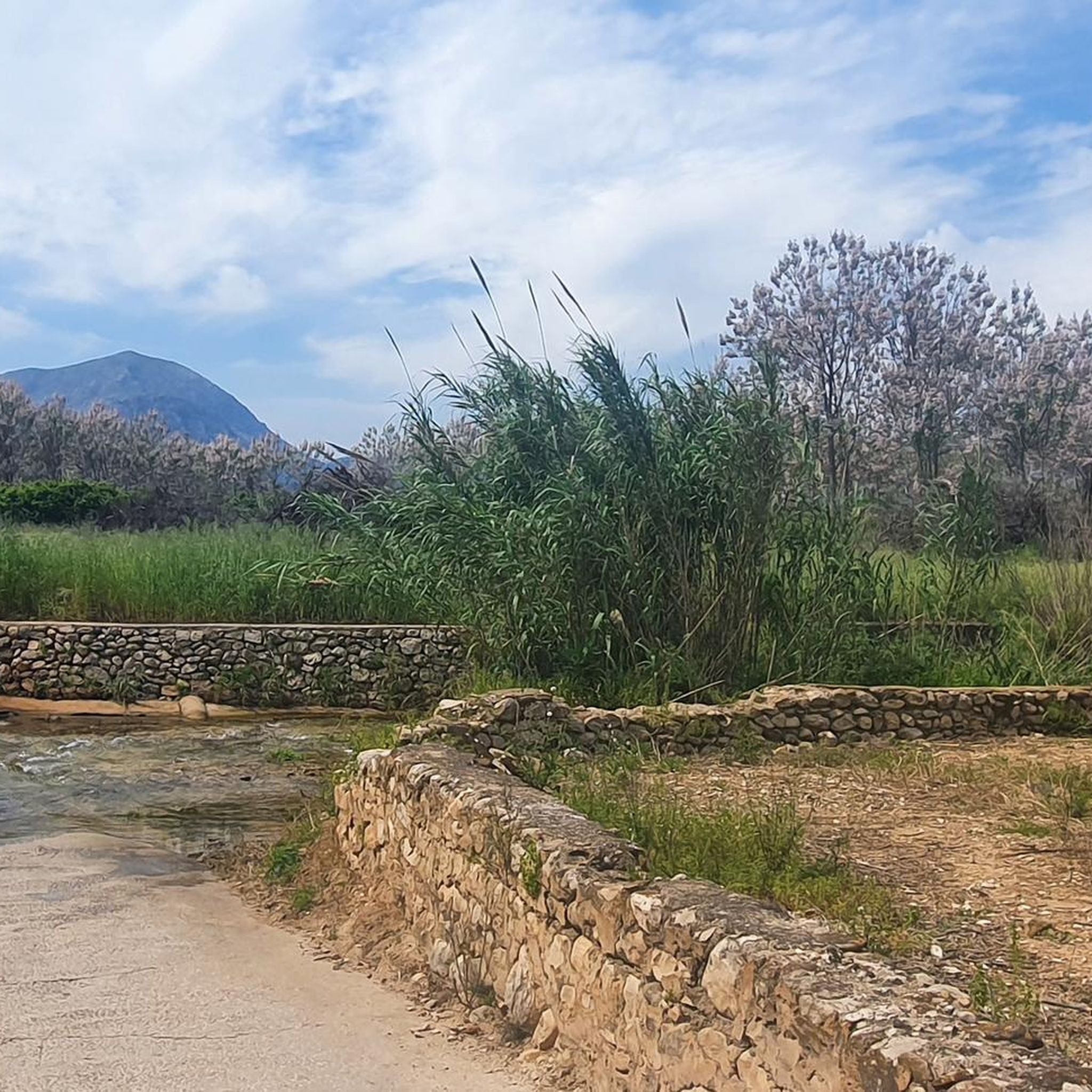
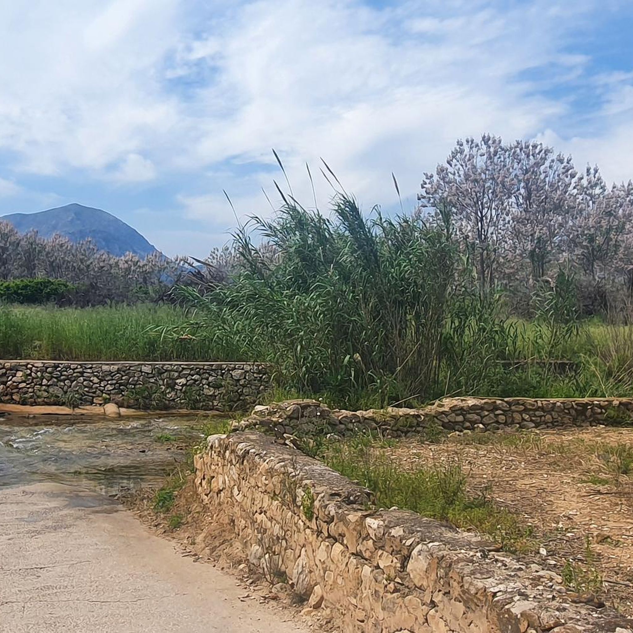
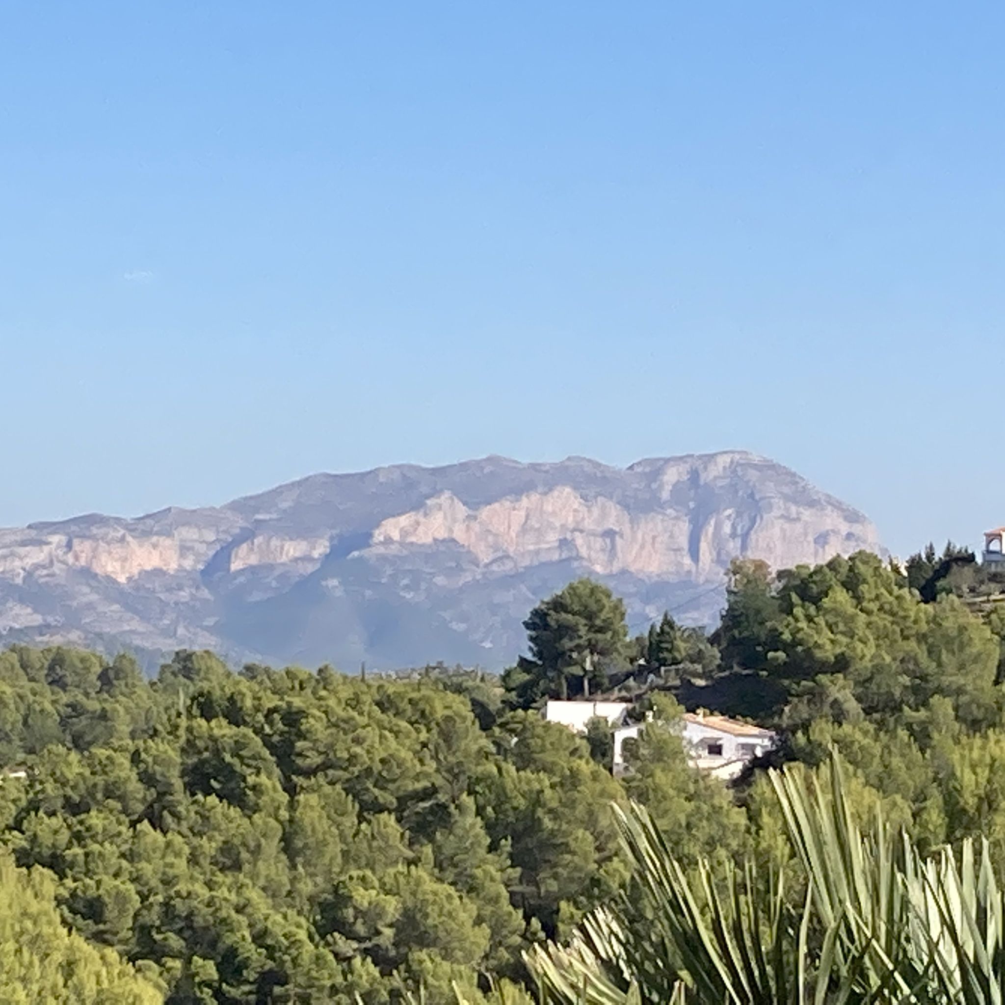
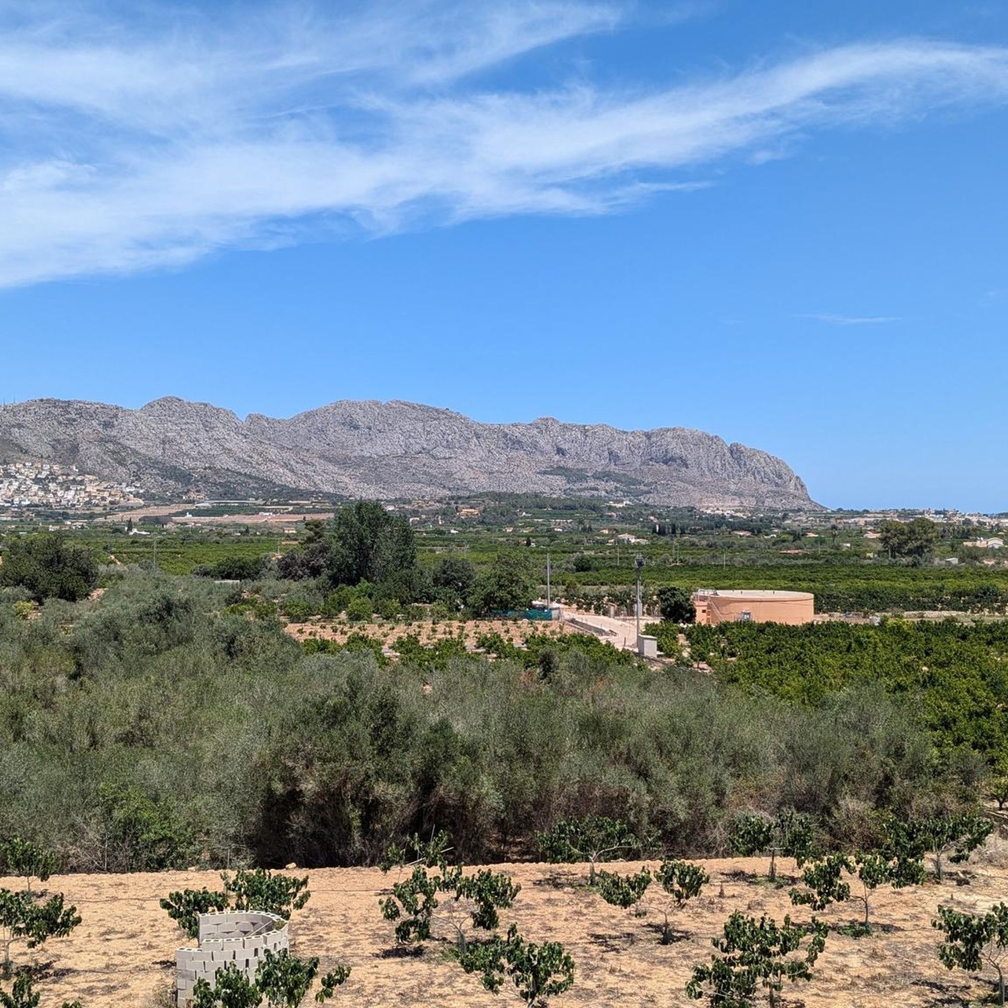
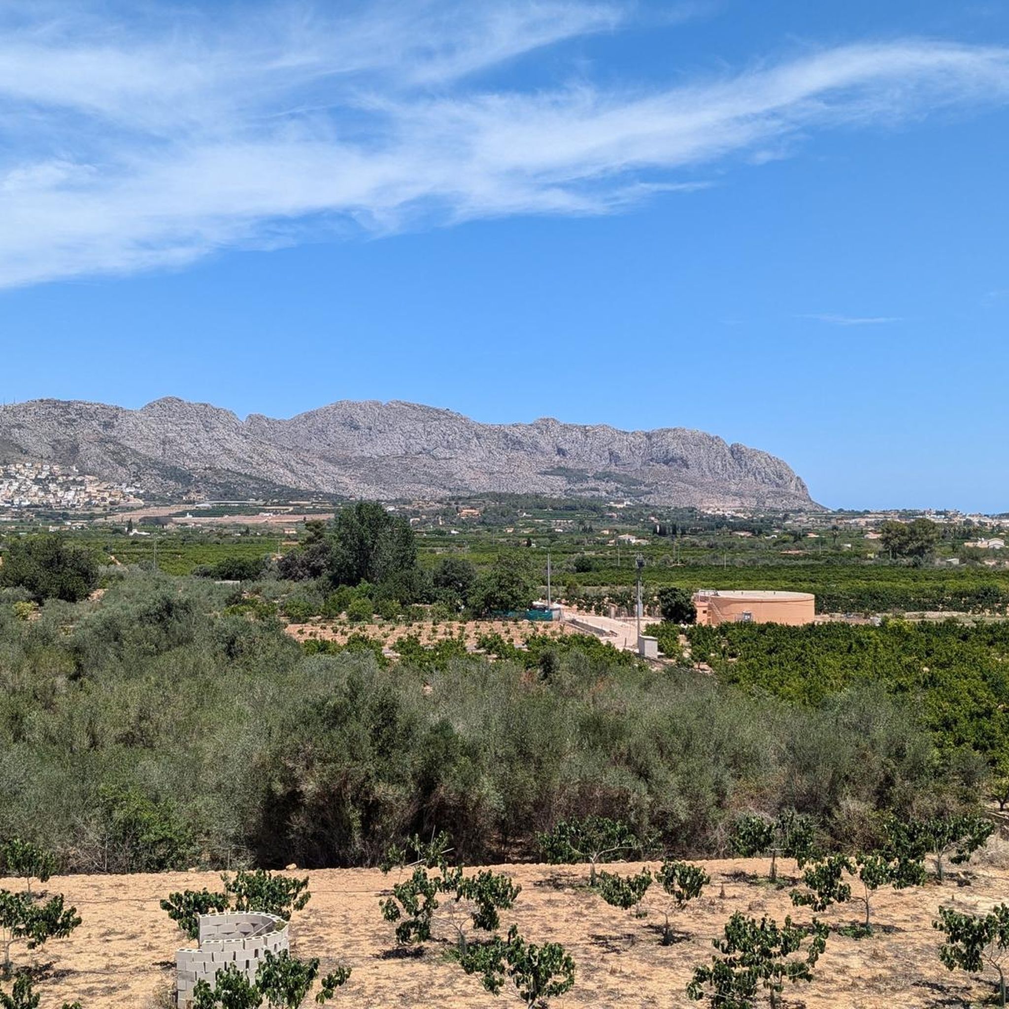

Tips from the Community

The descent from returns the same way back to the Portet d'Ondara. I made the descent eastwards to the old aqueduct path. This is significantly more demanding compared to the ascent via the west side. Slopes/descents of up to approx. 40% are present. The vegetation and the poorly visible yellow trail marking often cause you to pause and look around. Stone towers and GPS help with orientation. Overall, however, progress is slow. The signpost at the bottom of the aqueduct path already gives a hint: 1:10h for approx. 800m of path to the Portet d'Ondara.
0
0
The view is worth it. However, in the summer months (when it gets over 30 degrees) it is recommended to ascend only early in the morning, so that you descend again by 11 am. I ascended from the west side (in the shade in the morning). Up to Portet d'Ondara the path is still reasonably recognizable. From there to the summit "Cim de Segària" the path and terrain are difficult to recognize and require sure-footedness. Sturdy mountain boots are helpful due to the rugged terrain and sharp stones. It is also possible with trail running shoes, but they suffer greatly. Up to the summit, you often have to search for the path or yellow markings, which are also completely missing in places. According to the maps, the path is classified as T2 (SAC scale). Due to the poor visibility of the path, rugged and sharp stones, I would tend towards at least T3. In some places, you also have to climb over a few larger stones or make bigger jumps.
0
0

Nice scenic mountain summit with panoramic 360 degree views. If accessing from the southwest there are a couple of short chains which appear a bit unnecessary but are useful. Egress down the ridge to the northwest has been complicated from 2024 onward due to the large and controversial housing development site. The contractors apparently are under instruction to always provide a suitable route for walkers but you may have to detour slightly.
0
0
Fantastic views and nice rocks to sit and have your lunch. Large flat area for large walking groups. Accessible from Murla on a steep SAC T3 path via the Hermita and Penya Migdia which does not include any chains or staples - BUT - if you continue west along the route there are chains and staples SAC T4 and T5 to negotiate. The T5 is a descent heading west to east and appears more daunting than if you were making an ascent. In my humble view it does not warrant a T5 rating. In reality any average competent walker will not experience any significant problem.
1
0

Beautiful, but a bit more challenging than indicated. Some trails are overgrown, and the descent at the end is not for those with a fear of heights.
0
0

The start of the climb is demanding and gradually becomes easier. A rocky climb with ruts. A slight descent on stones, an accessible path and a descent on a well-paved road.
1
0

This section is "off-piste" to get to the top of Cavall Verd. It involves staples, a chain and some steep rock. This part of the trail must be descended the same way as you clambered up.
0
0

The tour was very nice but the descent was a blatant challenge. It was steep all the way down and you have to shimmy from rock to rock, often on all fours. You should really only do it if you are not afraid of heights, if you are in good physical condition and definitely not with children. We were on the road for 4 hours with two short drinking breaks.
0
0
Frequently Asked Questions
What are some of the most popular mountain peaks and natural sites to visit near Benidoleig?
Near Benidoleig, you can explore several notable sites. The Cave of the Skulls (Cova de les Calaveres) is a significant natural monument and historical site, extending over 400 meters into the mountains. For panoramic views, the Antennas on the Serra de Segària offers magnificent vistas over the coast and valley. Other popular summits include Penya Roja Summit and Red Rock (Penyal Roig), both known for their rewarding climbs and views.
Are there family-friendly natural attractions or hikes around Benidoleig?
Yes, the Cave of the Skulls (Cova de les Calaveres) is an excellent family-friendly option. It features illuminated paths through impressive stalactites and stalagmites, and its interior remains cool year-round, making it a refreshing retreat. It's an affordable attraction that offers a unique blend of natural beauty and ancient history.
What kind of views can I expect from the mountain peaks around Benidoleig?
The mountain peaks in the region offer diverse and spectacular views. From the Antennas on the Serra de Segària, you'll get magnificent views over the coast and the valley. Penya Roja Summit provides views of the Marjal and Denia coast. Higher peaks like Montgó Natural Park and Puig Campana offer panoramic vistas of the Costa Blanca, and on clear days, you might even see Ibiza.
Are there challenging climbs for experienced hikers around Benidoleig?
Absolutely. For experienced hikers, peaks like Penya Roja Summit, Red Rock (Penyal Roig), and Tossalet del Castellet Summit offer challenging ascents with rewarding views. Puig Campana, the second-highest peak in Alicante province, is also a favorite among serious hikers and climbers, known for its strenuous trails and panoramic sea views.
What historical or geological features can be found in the mountains near Benidoleig?
The region is rich in both historical and geological features. The Cave of the Skulls (Cova de les Calaveres) is a prime example, with archaeological findings dating back 50,000 years and impressive stalactite and stalagmite formations. Fossils of marine life within the cave suggest the area was once submerged. Montgó Natural Park also features fascinating cave systems and unique limestone rock formations.
What outdoor activities can I do near these mountain peaks?
The area around Benidoleig is ideal for various outdoor activities. You can find numerous hiking trails, including the moderate Seguili Trail. There are also options for running, with routes like the Serra de Segària PR-CV 415 Loop. For cyclists, gravel biking routes offer scenic rides through the landscape.
Are there specific hiking trails near Benidoleig that offer good views?
Yes, several trails provide excellent viewpoints. The Seguili Trail offers scenic views and historical landmarks. The Tossal Verd via Orbeta circuit, starting from Benidoleig, provides unrivalled views of the Orba valley and beyond. Many routes up to summits like Antennas on the Serra de Segària are specifically chosen for their panoramic vistas.
What is the best time of year to hike in the mountains near Benidoleig?
The Mediterranean climate means that spring (March to May) and autumn (September to November) are generally the most pleasant times for hiking, with milder temperatures and less intense sun. Winter can also be suitable for hiking, offering cooler conditions. Summer can be very hot, but attractions like the Cave of the Skulls offer a cool escape.
What makes Montgó Natural Park a significant mountain peak in the region?
Montgó Natural Park is a majestic mountain rising dramatically between Denia and Jávea, reaching 753 meters. It's significant for its rich biodiversity, hosting over 650 plant species and numerous bird species. Its limestone terrain has created fascinating cave systems. It offers diverse hiking routes with rewarding panoramic views of the Costa Blanca and, on clear days, even Ibiza.
Can I find information about the local flora and fauna while exploring the mountain peaks?
Yes, especially in protected areas like Montgó Natural Park. Montgó is known for its rich biodiversity, including endemic plant species. Serra Gelada Natural Park, a maritime-terrestrial park, also boasts significant marine biodiversity and serves as a nesting site for various bird species. Keep an eye out for peregrine falcons and Bonelli's eagles in Montgó.
What are some unique geological formations to look out for?
The Cave of the Skulls is a prime example, with impressive stalactites, stalagmites, and other natural rock formations, some reaching 20 meters high. Serra Gelada Natural Park features dramatic cliffs rising directly from the sea and fossilized dunes, which are among the highest in Europe. Puig Campana is known for its distinctive notch or 'El Portell' in its western peak.
Are there any coastal mountain ranges near Benidoleig that offer hiking opportunities?
Yes, the Serra Gelada Natural Park is an impressive coastal mountain range stretching across Benidorm, Alfaz del Pi, and Altea. It features dramatic cliffs rising up to 300-400 meters directly from the sea. Hiking trails, such as the demanding ridge walk from Albir to Benidorm, provide a unique combination of sea and mountain landscapes with breathtaking views of the coastline and the Mediterranean.
Most popular routes around Benidoleig
Most popular attractions around Benidoleig

Get inspired with the komoot mobile app


Explore more
See even more amazing summits around Benidoleig with these guides:
