The 7 Most Amazing Peaks around Potries
Best mountain peaks around Potries are found in the surrounding Valencian Community, Spain, offering access to notable summits and viewpoints. This region provides opportunities for hiking and enjoying panoramic views. The landscape features a variety of mountainous terrain, suitable for different levels of outdoor activity.
Best mountain peaks around Potries
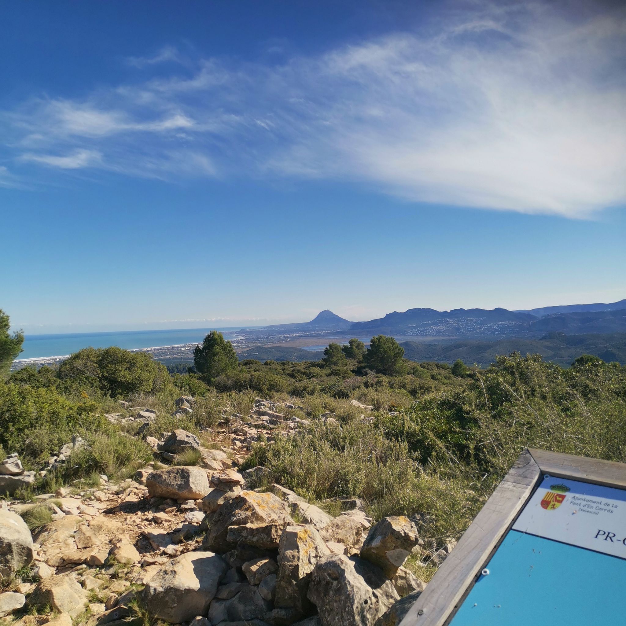
- The most popular mountain peaks is Covatelles Summit, a summit accessible via the PR-CV 347 trail, known as Ruta dels Assagadors. This trail is located in Font d'en Carròs…
Last updated: July 4, 2026
Cim de la Safor (1,013 m)
Highlight • Summit
Translated by Google •
Tip by

Covatelles Summit
Highlight • Summit
Translated by Google •
Tip by

Sign up now to discover places like this
Get recommendations on the best single tracks, peaks, & plenty of other exciting outdoor places.
Sign up for free
Molló de la Falconera
Highlight • Viewpoint
Translated by Google •
Tip by

Ascent to Miserat / Pico Xilibre from Adsubia
Highlight (Segment) • Climb
Translated by Google •
Tip by

El Miserat (Pico Xilibre) Summit
Highlight • Summit
Tip by

Sign up for free to discover even more peaks around Potries.
Sign up for free
Already have an account?
Start today with a free account
Your next adventure awaits.
Login or Signup

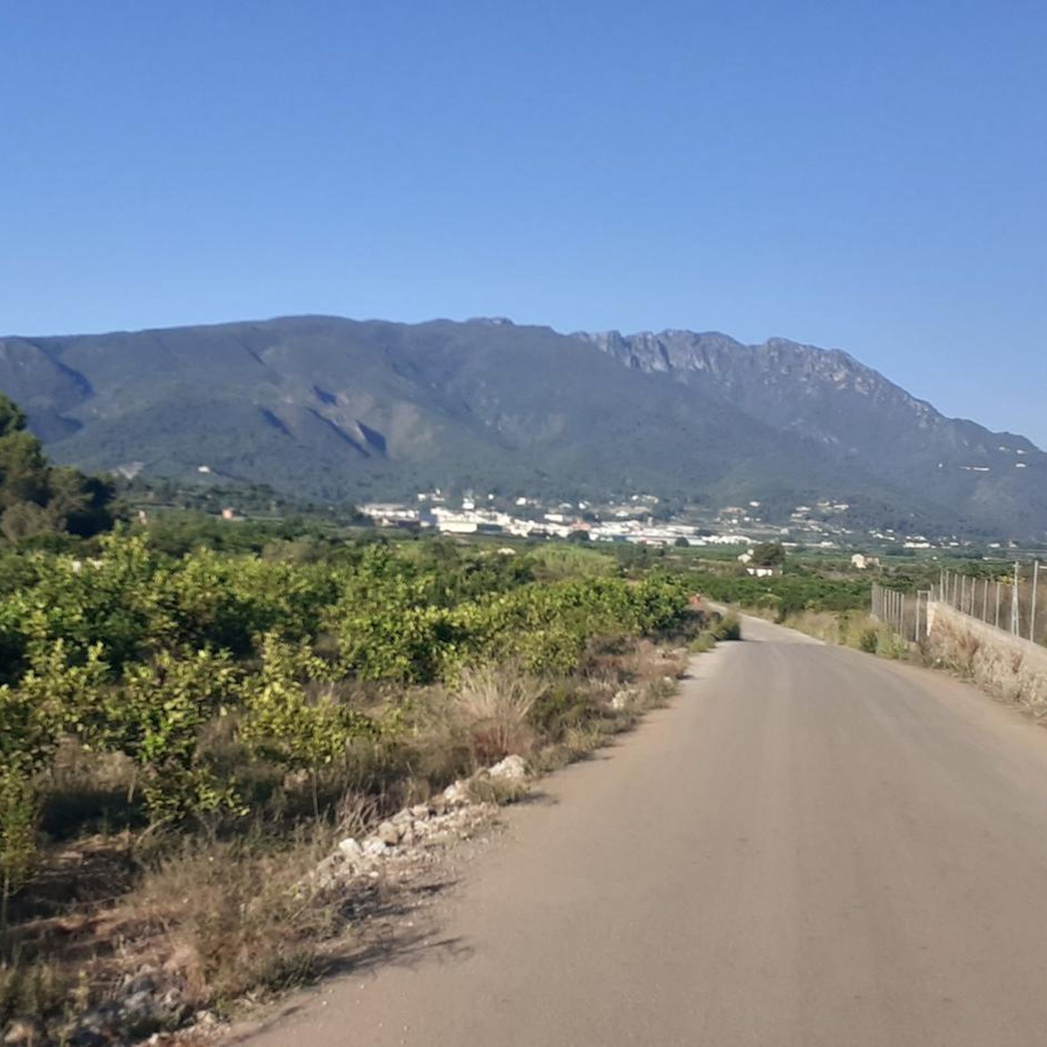
Tips from the Community

At the bottom of L’Atzúbia is Carrer Nou, which is nothing more than the concreted Barranc de Mostalla. In fact, with heavy rain it becomes a torrent again. There is no signage, but there is only one road that starts upwards. At the detour towards the antennas, it is closed due to "works". For the moment, no works are visible, and you can pass by the side of the "gate". The path to the summit is in perfect condition. face: ADSUBIA Altitude: 753 Elevation gain: 663 Length: 6.26 Avg %: 10.60 Max %: 22
0
0
At the lower part of L’Atzúbia is Carrer Nou, which is nothing more than the concreted Barranc de Mostalla. In fact, with heavy rain it becomes a torrent again. There is no signage, but there is only one road that starts upwards. At the detour towards the antennas, it is closed due to "works". For the moment, no works are visible, and you can pass by the side of the "gate". The path to the summit is in perfect condition. watershed: ADSUBIA Altitude: 753 Elevation gain: 663 Length: 6.26 Average gradient: 10.60% Max. gradient: 22
0
0

With some slopes reaching almost 20%, this beautiful six-kilometer climb takes you up 665 meters of elevation gain, pedaling along a concrete track to the observatory.
1
0

Ride to this summit from l’Atzúbia - the hardest climb you’ll ever have done but oh so rewarding! Cat 1, 6.2km @ 10.7% average (maximum 21%)
0
0

From the TOP of the mountain one can have great view of La SAFOR and MARINA ALTA areas (nice view of Gandia and Oliva towns). Unfortunately, due to very rich vegetation (high trees) it is not possible to enjoy a 360 degree view similar to option which one has by hiking up Montuver mountain. Short video about this hike could be found under the following link: https://www.youtube.com/watch?v=j-mfyWy6RzQ
1
0

The start of the hike is a bit frightening due to the location (rainwater drainage basins and dog excrement), but after 500 m you go into nature. The hike is well signposted and easy to do with sturdy shoes.
2
1

Molló de la Creu, also called Molló de la Falconera or V.G. de la Falconera is one of the places that every person who is in Gandía should visit. The viewpoint offers us spectacular views, we can see the impressive Cim de Mondúver and the coast of Gandía on the other side. You can return to Gandía along the same path or, if you are an experienced hiker, take the circular route, but keep in mind that the descent is very steep.
3
0

Steep climb. Will be rewarded with a great view
1
0
Frequently Asked Questions
What are some of the most notable mountain peaks to explore near Potries?
The region around Potries offers several impressive peaks. Highly recommended are Covatelles Summit, known for its panoramic views via the PR-CV 347 trail, and Cim de la Safor (1,013 m), which provides extensive views of the La Safor and Marina Alta areas after a steep climb.
Where can I find spectacular viewpoints near Potries?
For breathtaking vistas, visit Molló de la Falconera, also known as Molló de la Creu. From here, you can see the impressive Cim de Mondúver and the stunning coastline of Gandía. Another great spot is the View of Pego from Pic de la Coma, offering a different perspective of the surrounding landscape.
Are there challenging mountain hikes around Potries?
Yes, for experienced hikers seeking a challenge, the ascent to Cim de la Safor (1,013 m) involves a steep climb but rewards with great views. Additionally, the descent from Molló de la Falconera can be very steep if you opt for the circular route, requiring sure-footedness.
What kind of hiking trails can I expect near Potries?
The trails around Potries vary in difficulty. For example, the PR-CV 347 trail to Covatelles Summit is considered moderate, requiring good fitness and sturdy shoes, with some rocky sections. Other trails, like those around La Safor, can be long, technical, and have loose stones, making them more challenging.
What other outdoor activities can I do near the mountain peaks around Potries?
Beyond hiking, the area offers excellent opportunities for road cycling and running. You can find various routes, such as the 'Sant Nicolau Ravine – Greenway of Safor loop' for road cycling or the 'Forna Village – Covatelles Summit loop' for running. Explore more options on the Road Cycling Routes around Potries and Running Trails around Potries guide pages.
Are there any family-friendly mountain walks or easy hikes near Potries?
While many trails require good fitness, some sections of the PR-CV 347 trail to Covatelles Summit are mostly accessible. For specific family-friendly options, it's best to check individual route descriptions on the Hiking around Potries guide, as difficulty can vary.
What should I wear for hiking in the mountains near Potries?
Given that trails can be rocky and sometimes steep, especially after rain or in high humidity, it is essential to wear sturdy shoes with good grip. Layered clothing is also advisable to adapt to changing weather conditions at different altitudes.
What is the best time of year to hike the mountain peaks near Potries?
The Valencian Community generally enjoys a Mediterranean climate. Spring and autumn are often ideal for hiking, offering milder temperatures. Summer can be very hot, so early morning hikes are recommended. Winter can also be pleasant, but be aware that some rocky sections might be slippery after rain.
Are there any hidden gems or less-known mountain spots around Potries?
While not a hidden gem in terms of being unknown, the area around La Safor offers a more rugged and less-trafficked experience, with trails that can be challenging and require careful navigation due to older markings. It provides suggestive views towards the coast and the Mediterranean horizon.
What natural monuments can be found in the mountain areas near Potries?
The region is home to several natural monuments. Cim de la Safor (1,013 m) and La Safor are recognized as natural monuments, offering unique geological features and ecological interest. Molló de la Falconera is also considered a natural monument, valued for its scenic beauty.
Are there any specific tips for navigating trails like the PR-CV 347 or those around La Safor?
For the PR-CV 347 trail to Covatelles Summit, it is well signposted, but sturdy shoes are a must due to rocky sections. When hiking around La Safor, be aware that yellow and white markings can be old and blurred in sections, so following a reliable track and being mindful of the route on rocky ground is important.
Most popular routes around Potries
Most popular attractions around Potries

Get inspired with the komoot mobile app


Explore more
See even more amazing summits around Potries with these guides:
