The 6 Most Amazing Peaks around La Hiruela
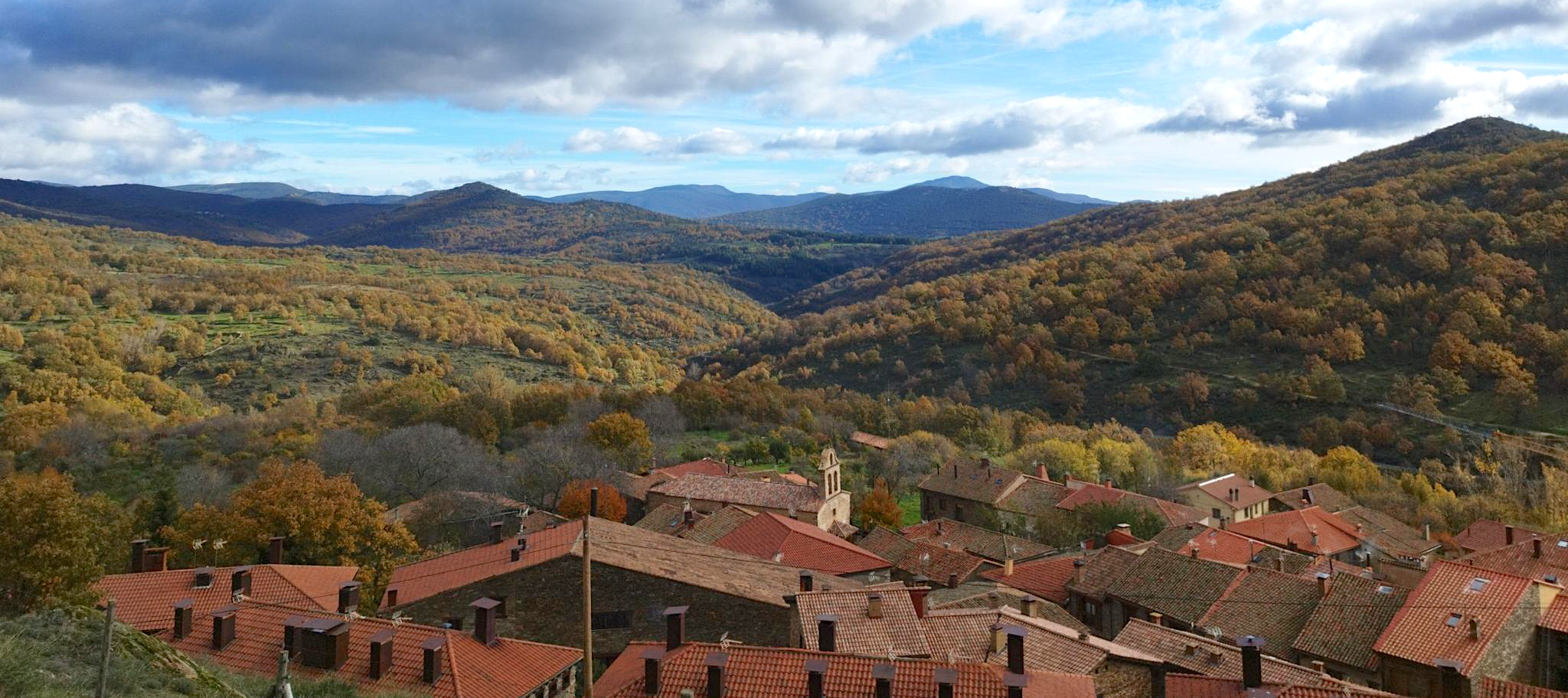
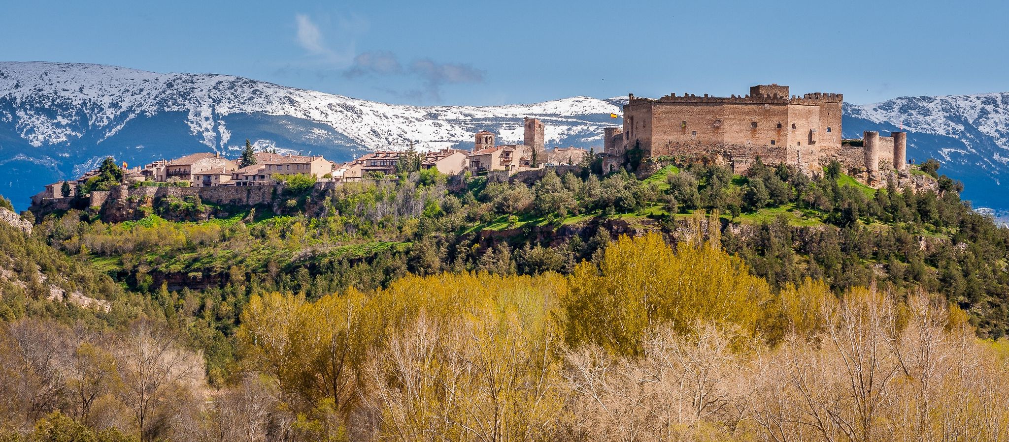
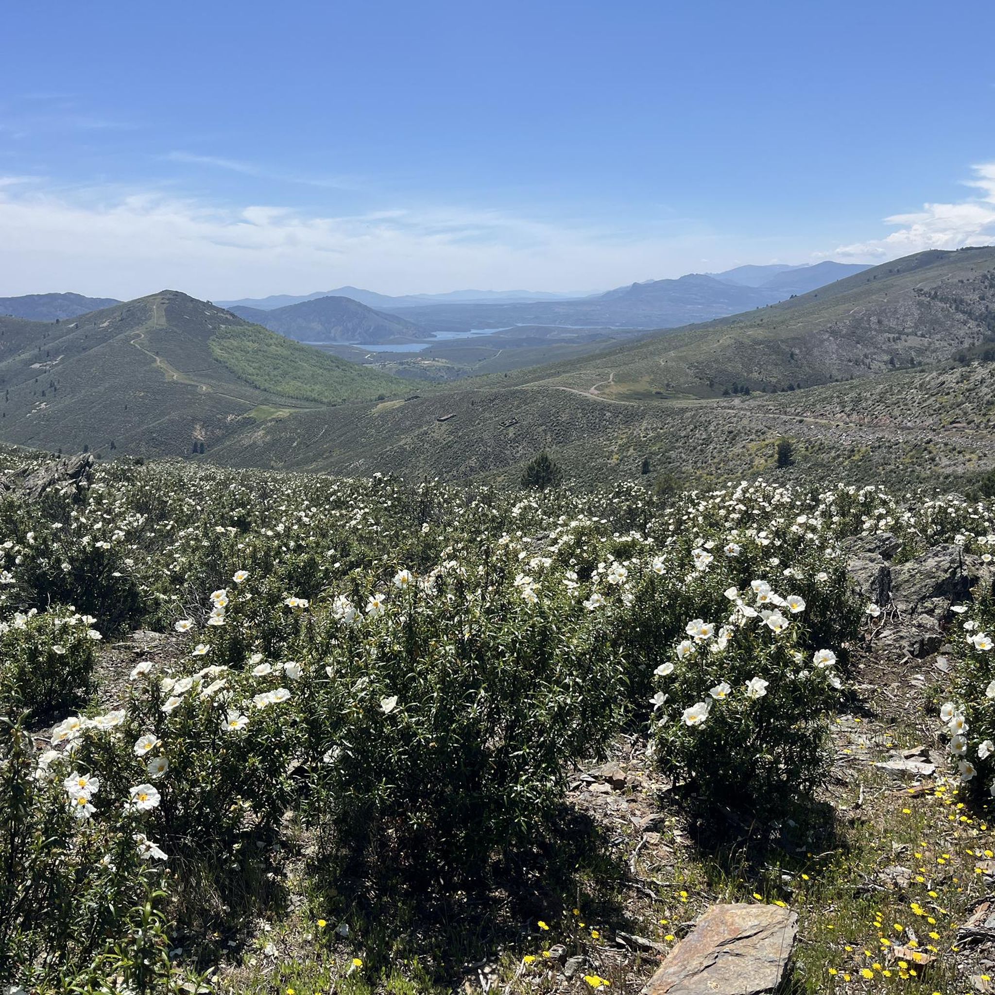
Mountain peaks around La Hiruela are situated within the Sierra del Rincón Biosphere Reserve, characterized by a rugged and mountainous landscape. The region offers notable elevated points and diverse natural environments, including oak groves and birch forests. La Hiruela itself is a well-preserved village, enhancing the experience of exploring its surrounding mountainous terrain. This area provides various trails for hiking and cycling, catering to different fitness levels.
Best mountain peaks around La Hiruela
- The most popular mountain peaks is Puerto…
Last updated: July 4, 2026
Pico Tres Provincias (Cebollera Vieja)
Highlight • Summit
Translated by Google •
Tip by

Puerto de la Puebla
Highlight • Mountain Pass
Translated by Google •
Tip by

Sign up now to discover places like this
Get recommendations on the best single tracks, peaks, & plenty of other exciting outdoor places.
Sign up for free
Goat Rock
Highlight • Summit
Translated by Google •
Tip by

Pico Porrejón
Highlight • Summit
Translated by Google •
Tip by

Cabeza de Ranas (1,492 m)
Highlight • Summit
Translated by Google •
Tip by

Sign up for free to discover even more peaks around La Hiruela.
Sign up for free
Already have an account?
Start today with a free account
Your next adventure awaits.
Login or Signup



Tips from the Community

Accessible peak and spectacular views
0
0

A privileged place to admire the surrounding landscape.
0
0
Technically simple ascent and you have a spectacular view from the summit.
0
0
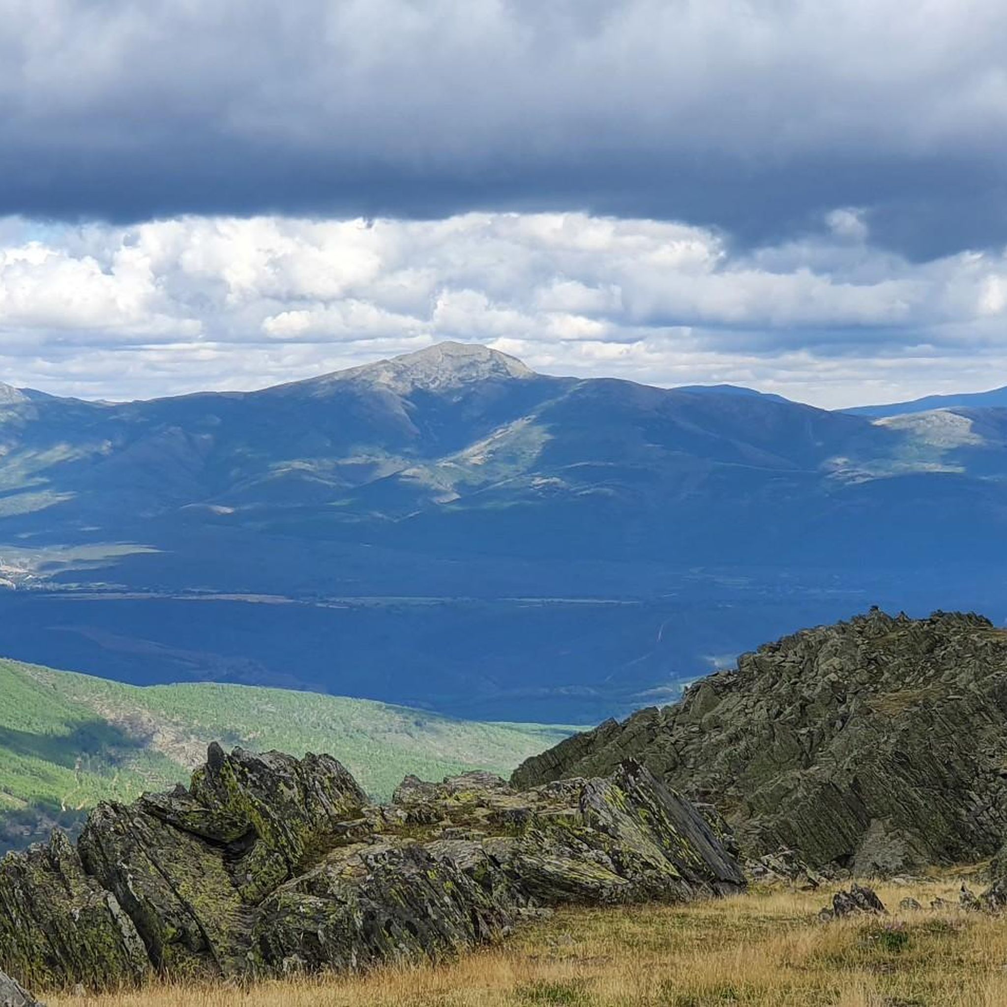
The Tres Provincias Peak is at the northern vertex of the province of Madrid, exactly at the top point of its triangular map. At this point Madrid joins Guadalajara and Segovia. The landscape seen in all directions is spectacular.
0
0

Peña Cebollera, Cebollera Vieja or peak of the Three Provinces is a mountain located at the end of the main and western ranges of the Ayllón mountain range, in the Central System of the Iberian Peninsula. With an altitude of 2128 m above sea level, it is the point of confluence of the limits of the Spanish provinces of Madrid, Guadalajara and Segovia, marked with a monolith at the top. It rises above the port of Somosierra, a key passage in the communications of central Spain, and the town of the same name, the most immediate access point for hikers making the ascent. To access Peña Cebollera from the Sierra del Rincón by mtb you must do so by first climbing the Collado del Mosquito
0
0

Hill belonging to the town of Campillo de Ranas, formerly called Sierra de Ranas, is located between the left bank of the Jaramilla River and the highest sector of the Sierra del Ocejón, dominating the foothills where the black farmhouses of Majaelrayo, Campillo de Frogs and their districts.
1
0

La Puebla, a port with two slopes, has a rough start but before the second kilometer it softens.
2
1

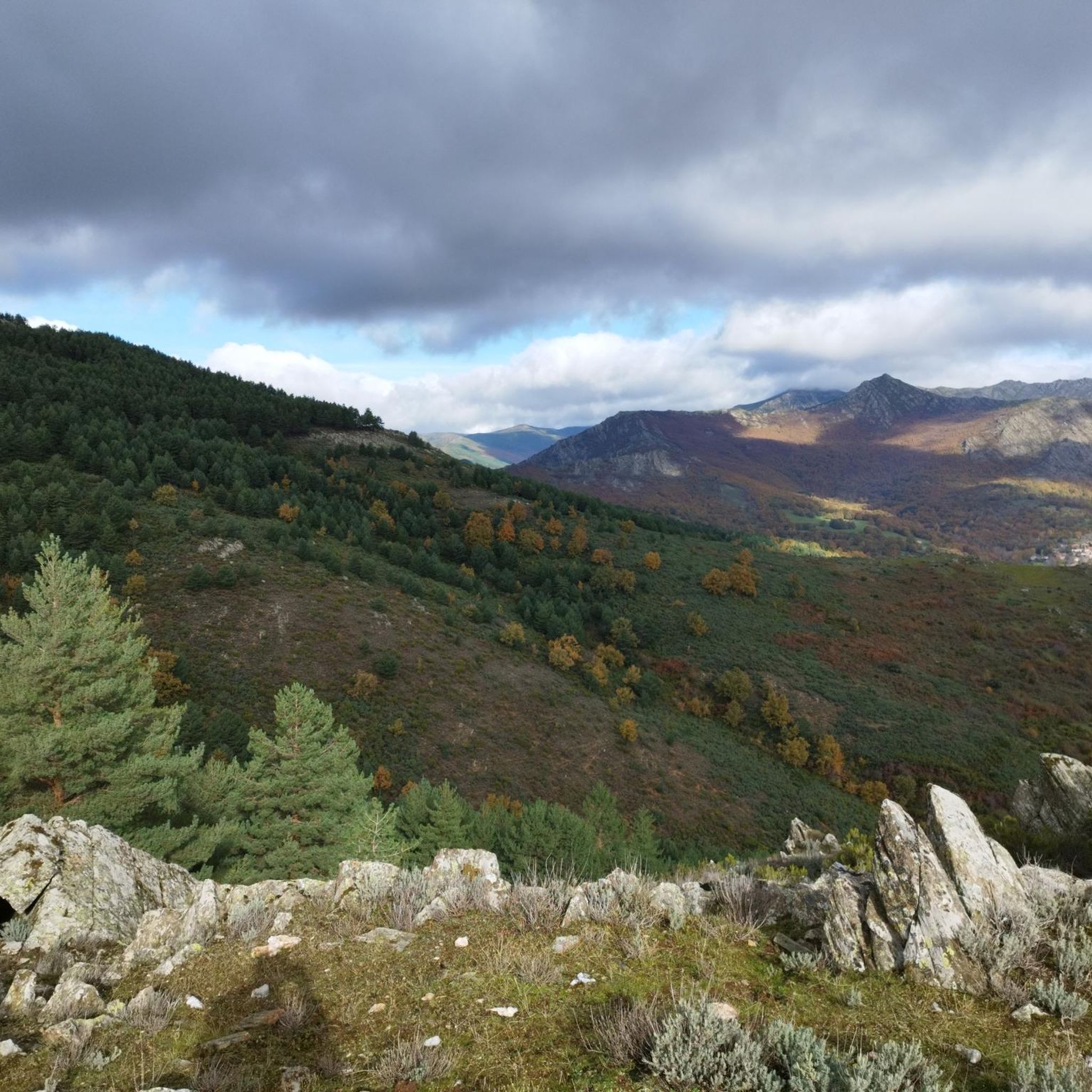
The summit of Pico Porrejón is a curious exhibition of the geological components that give uniqueness to the reliefs of the Sierra del Rincón Biosphere Reserve, a compact block of metamorphic rocks of gneiss and micacite with a strong projection of quartzite and slate subjected to the Consequences of gelivation, which is a form of periglacial erosion on the rocky scree, the water enters the cracks and, due to the effect of ice-thaw, creates the striking blades, ridges and stone passageways that abound in the Ayllón massifs.
1
0
Frequently Asked Questions
What are some of the most popular mountain peaks and passes around La Hiruela?
Visitors frequently enjoy the challenging ascent to Pico Tres Provincias (Cebollera Vieja), which marks the confluence of three Spanish provinces. Another favored spot is Puerto de la Puebla, a mountain pass known for its extensive views from both sides. Goat Rock is also appreciated for its accessibility and spectacular panoramic views.
What makes Pico Porrejón a notable peak to visit from La Hiruela?
Pico Porrejón is a key mountain peak in the Sierra del Rincón, directly accessible from La Hiruela. Its ascent offers spectacular 360-degree panoramic views of the Sierra de Ayllón and Sierra de Guadarrama. The route also showcases diverse scenery, including unique geological formations of slate and schist, and beautiful oak groves.
Are there other significant peaks in the Sierra del Rincón besides those directly accessible from La Hiruela?
Yes, while Pico Porrejón is the most directly accessible from La Hiruela, other impressive peaks contribute to the region's stunning mountain scenery. These include La Tornera (1,865m), the highest peak in the Sierra del Rincón, and Peña de la Cabra (1,831m), both offering impressive views and typically accessed from other starting points like Puebla de la Sierra. You can learn more about La Tornera on Wikipedia.
What kind of views can I expect from the mountain peaks in the Sierra del Rincón?
From the summits and viewpoints, you can expect breathtaking 360-degree panoramic views. These often include the wild peaks of the Sierra de Ayllón (like Tres Provincias and Pico del Lobo), the Sierra del Rincón itself, and the Sierra de Guadarrama. You'll also see picturesque villages like La Hiruela and El Cardoso de la Sierra nestled within the landscape.
What are the difficulty levels for hiking the mountains around La Hiruela?
The mountain peaks and trails around La Hiruela offer a range of difficulty levels. For instance, the route from La Hiruela to Pico Porrejón is considered moderate-high difficulty, taking around 4 hours and 20 minutes of movement time. Other peaks like Goat Rock are described as accessible, while climbs like Puerto de la Puebla can have rough starts. It's advisable to check specific route details for elevation and terrain.
Are there family-friendly mountain trails near La Hiruela?
While some peaks offer challenging ascents, the broader Sierra del Rincón Biosphere Reserve provides various trails suitable for different fitness levels. La Hiruela itself is a charming starting point, and you can find easier trails exploring the village's oak groves and surrounding natural beauty. It's best to research specific routes for their length and elevation to ensure they are suitable for all family members.
What natural features and landscapes can I expect to see while exploring the mountains near La Hiruela?
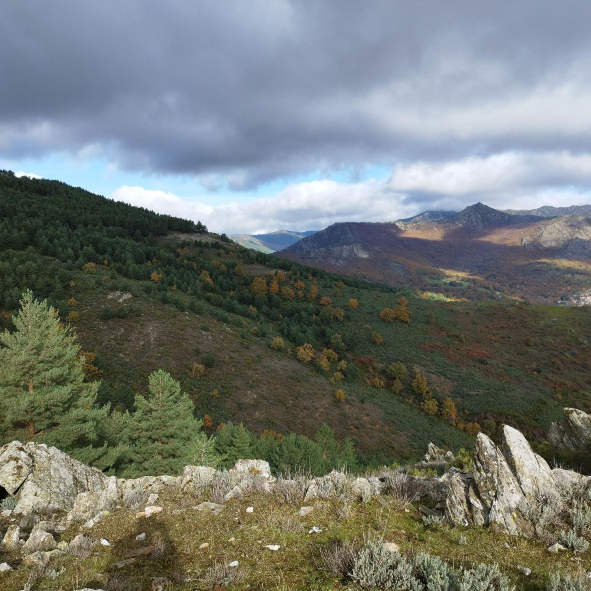
The region is characterized by exceptional natural beauty, including a labyrinth of valleys, gorges, rivers, and meadows. You'll encounter ancient oak groves, birch and holly forests, and traditional orchards. The geological interest is also notable, with paths ascending through slate and schist rock formations, particularly evident on the way to Pico Porrejón.
What outdoor activities can I do near these mountain peaks?
Beyond hiking to the peaks, the area around La Hiruela offers diverse outdoor activities. You can explore various trails suitable for different fitness levels, engage in electric mountain biking, nature photography, and stargazing. For specific routes, check out the MTB Trails around La Hiruela, Running Trails around La Hiruela, and Road Cycling Routes around La Hiruela guides.
What is the best time of year to hike the mountain peaks around La Hiruela?
The Sierra del Rincón offers beauty year-round, but the best time to hike depends on your preferences. Spring and autumn generally provide pleasant temperatures and vibrant landscapes, with spring showcasing blooming flora and autumn displaying rich fall colors. Summer can be hot, making early morning or late afternoon hikes preferable, while winter brings the possibility of snow, requiring appropriate gear and experience.
What do visitors enjoy most about the mountain peaks and surrounding area of La Hiruela?
Visitors particularly enjoy the spectacular panoramic views from summits like Pico Porrejón and Goat Rock. The diverse scenery, including ancient oak groves and unique geological formations, is also a major draw. Many appreciate the sense of tranquility and the opportunity to disconnect in this UNESCO Biosphere Reserve, making it an ideal destination for nature lovers and those seeking peace.
Most popular routes around La Hiruela
Most popular attractions around La Hiruela

Get inspired with the komoot mobile app


Explore more
See even more amazing summits around La Hiruela with these guides:
