The 12 Most Amazing Peaks around Xerta
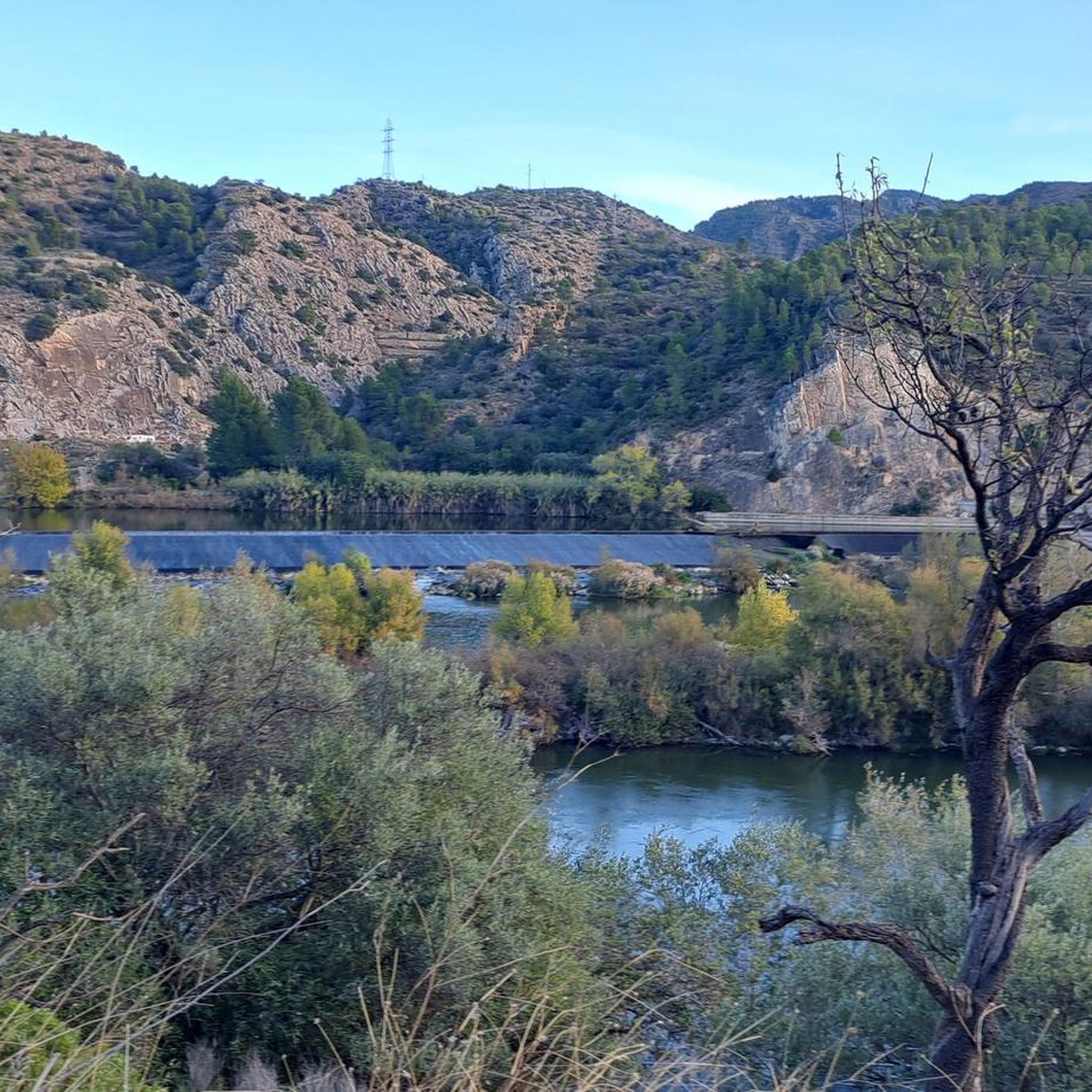
Mountain peaks around Xerta are characterized by the eastern foothills of the Iberian System, offering a landscape of hilly terrain rather than towering alpine summits. The region is part of the Ports massif, providing a natural setting for outdoor activities. This area presents several notable elevations and hiking opportunities for exploration. The terrain offers diverse trails suitable for various fitness levels.
Best mountain peaks around Xerta
- The most popular mountain peaks is Cim de Caro Summit (1,441 m), a…
Last updated: July 4, 2026
Creu de Santos Summit
Highlight • Summit
Translated by Google •
Tip by

Ascent to Mont Caro from Tortosa
Highlight (Segment) • Climb
Translated by Google •
Tip by

Sign up now to discover places like this
Get recommendations on the best single tracks, peaks, & plenty of other exciting outdoor places.
Sign up for free
Cim de Caro Summit (1,441 m)
Highlight • Summit
Translated by Google •
Tip by

Punta de l'Aigua (1098 m)
Highlight • Summit
Translated by Google •
Tip by

La Mola or Moleta d'Alfara
Highlight • Summit
Translated by Google •
Tip by

Sign up for free to discover even more peaks around Xerta.
Sign up for free
Already have an account?
Start today with a free account
Your next adventure awaits.
Login or Signup

Tips from the Community

A beautiful route that runs almost entirely along trails and beautiful natural spaces, offering magnificent views from the top of Xàquera or the Creu de Santos.
2
0

La Punta de l'Aigua is a mountain located near Paüls, in the Lower Ebro region, Catalonia. It is one of the most prominent peaks in the area and is part of the 100 Peaks challenge of the Federation of Hiking Entities of Catalonia (FEEC).
8
0

Fantastic climb with little traffic and a breathtaking view at the summit!
0
0

Mount Caro peak at 1441m. A demanding climb with a reward for the good views and the satisfaction of having made a good climb.
3
0

It's a very beautiful peak with fantastic views
2
1
To access the Mola there is a passage equipped with staples and a cable in which we must proceed with caution.
0
0

the "Xàquera" or the Creu de Santos has two peaks which creates some discrepancy, because while the map of the Piolet publishing house indicates the western point (941.9m) where the geodetic vertex is located, with this name and it remains as regional roof of the Ribera de l'Ebre, it is no less true that the eastern tip, where there is a cross, is what the ICGC calls with this name and with its height (942.3m) it should be the regional roof . Proof of this is that most hikers post photos of the geodesic vertex instead of the culminating point where the Cross is located. Apart from this, the two points are excellent 360º viewpoints of the regions of Ribera and Baix Ebre.
3
0

Mont Caro is one of the most difficult passes in the region. The climb is fairly steep but steady, with sections reaching 20% incline. Downhill cornering forces you to keep control of the brakes. The view from the top is worth it! Don't hesitate to take advantage of the panoramic viewpoints to catch your breath.
2
0
Frequently Asked Questions
What are the most popular mountain peaks around Xerta?
The most popular mountain peaks include Cim de Caro Summit (1,441 m), which offers an observation deck with wonderful views of the Ebro Delta. Another highly rated spot is Creu de Santos Summit, known for its 360º viewpoints of the Ribera and Baix Ebre regions.
Are there challenging climbs for experienced hikers or cyclists?
Yes, for those seeking a challenge, the Ascent to Mont Caro from Tortosa is a demanding climb with sections reaching a 20% incline, offering incredible views. Another challenging option is Punta de l'Aigua (1098 m), which involves rock steps and is part of the 100 Peaks challenge.
What kind of views can I expect from the mountain peaks near Xerta?
Many peaks offer stunning panoramic views. From Cim de Caro Summit (1,441 m), you can see the Ebro Delta and the coast. Creu de Santos Summit provides 360º viewpoints of the Ribera and Baix Ebre regions. Even from Punta de l'Aigua (1098 m), the views are described as stunning.
Are there any mountain peaks that require special caution or equipment?
Yes, when accessing La Mola or Moleta d'Alfara, there is a passage equipped with staples and a cable where you must proceed with caution. Additionally, the ascent to Punta de l'Aigua (1098 m) includes sections with rock steps and can be dangerous without good visibility.
What outdoor activities can I do near these mountain peaks?
Beyond hiking and climbing the peaks, the area around Xerta offers diverse outdoor activities. You can explore various routes for gravel biking, including the Ebro Natural Path, or discover numerous running trails. There are also several road cycling routes that take you through the scenic landscape.
What is the best time of year to hike the mountains around Xerta?
While specific seasonal advice isn't detailed, the region's Mediterranean climate generally makes spring and autumn ideal for hiking, with milder temperatures. Summer can be very hot, especially for demanding climbs, and winter might bring cooler conditions at higher elevations.
Are there any family-friendly mountain hikes near Xerta?
While many of the highlighted peaks are intermediate to challenging, the region offers a variety of trails. For family-friendly options, look for routes described as moderate or easy within the broader Ports massif area, which provides natural spaces suitable for various fitness levels. Always check specific route details for suitability.
What kind of natural landscape defines the mountain peaks around Xerta?
The mountain peaks around Xerta are characterized by the eastern foothills of the Iberian System, forming a landscape of hilly terrain rather than towering alpine summits. This region is part of the Ports massif, offering a natural setting with diverse trails and scenic views, marking the transition between the Ebro river valley and more elevated terrain.
What do visitors enjoy most about the mountain peaks near Xerta?
Visitors frequently praise the magnificent views and the rewarding nature of the climbs. The panoramic vistas from summits like Cim de Caro Summit (1,441 m) and Creu de Santos Summit are highly appreciated, as are the beautiful natural trails that lead to them.
Are there any circular routes available for hiking in the Xerta mountain range?
Yes, the region offers circular routes. For example, the region research mentions trails like the "La Coscollosa (879 m) – La Mola or Moleta d'Alfara loop," suggesting that circular options are available for exploring the area's peaks and natural beauty.
Most popular attractions around Xerta

Get inspired with the komoot mobile app


Explore more
See even more amazing summits around Xerta with these guides:
