The 16 Most Amazing Peaks around Rótova
Best mountain peaks around Rótova are found within a mountainous landscape in the Valencian Community of Spain. This region is characterized by its natural beauty and is suitable for hiking and rural tourism. Prominent peaks like Cerro del Agua (590 meters), Alto de las Águilas (581 meters), and Alto de la Fuente Blanca (557 meters) are situated in the far northwest of the municipality. The area offers various trails and paths through its countryside, appealing to nature enthusiasts and hikers.
…Last updated: July 4, 2026
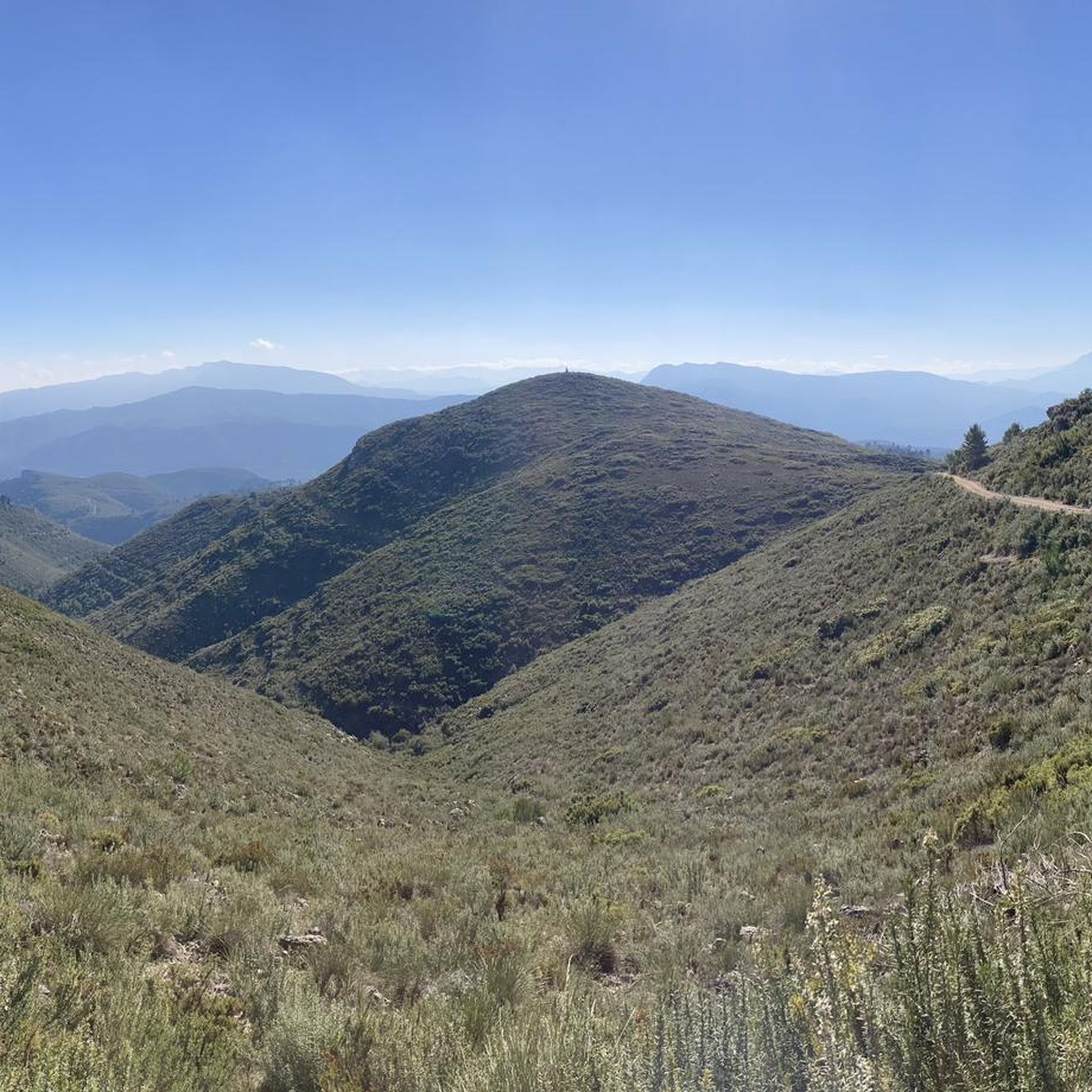
Mondúver summit
Highlight • Summit
Translated by Google •
Tip by

Cim de la Safor (1,013 m)
Highlight • Summit
Translated by Google •
Tip by

Sign up now to discover places like this
Get recommendations on the best single tracks, peaks, & plenty of other exciting outdoor places.
Sign up for free
Covatelles Summit
Highlight • Summit
Translated by Google •
Tip by
Molló de la Falconera
Highlight • Viewpoint
Translated by Google •
Tip by

Monduver forest hut
Highlight • Mountain Hut
Translated by Google •
Tip by

Sign up for free to discover even more peaks around Rótova.
Sign up for free
Already have an account?
Start today with a free account
Your next adventure awaits.
Login or Signup
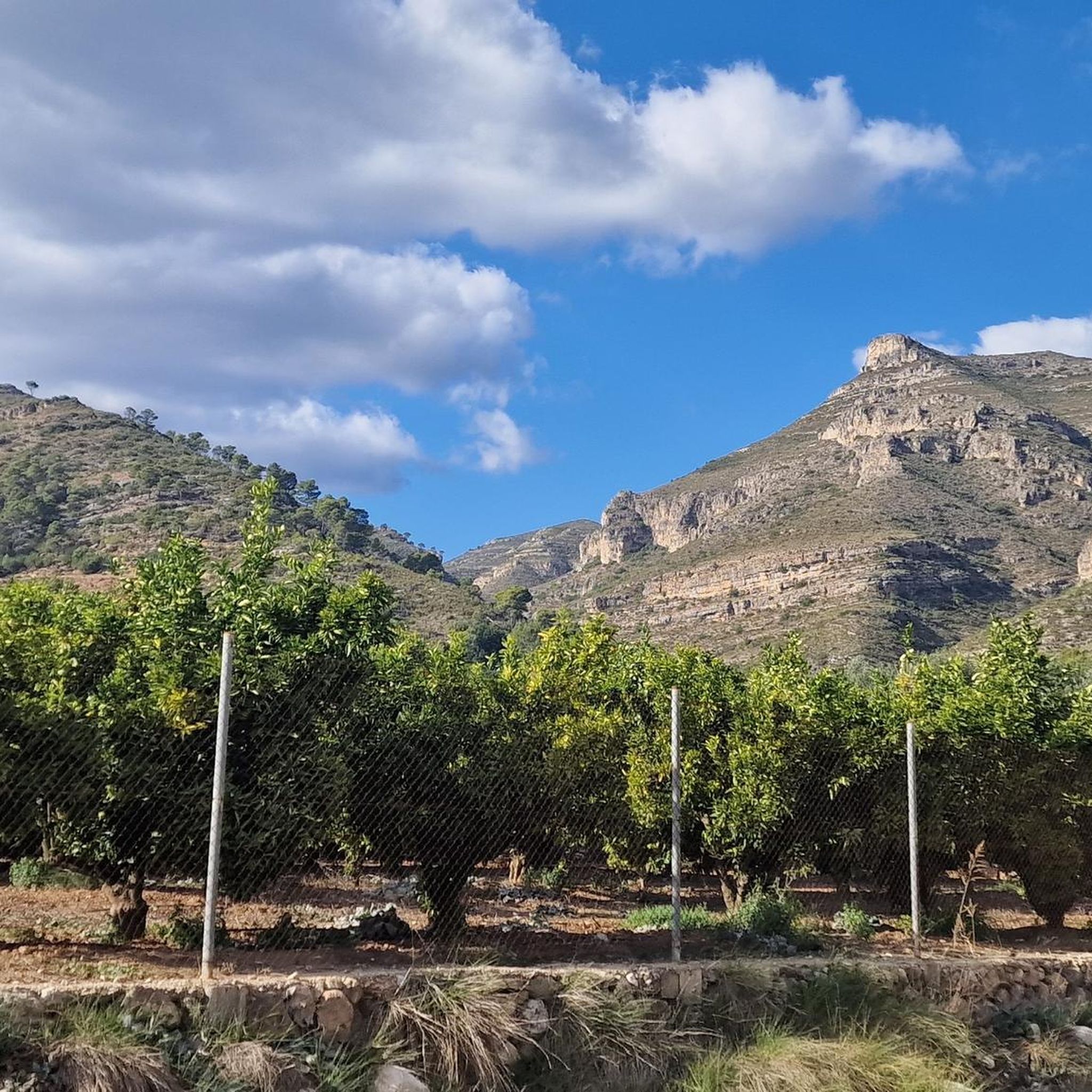
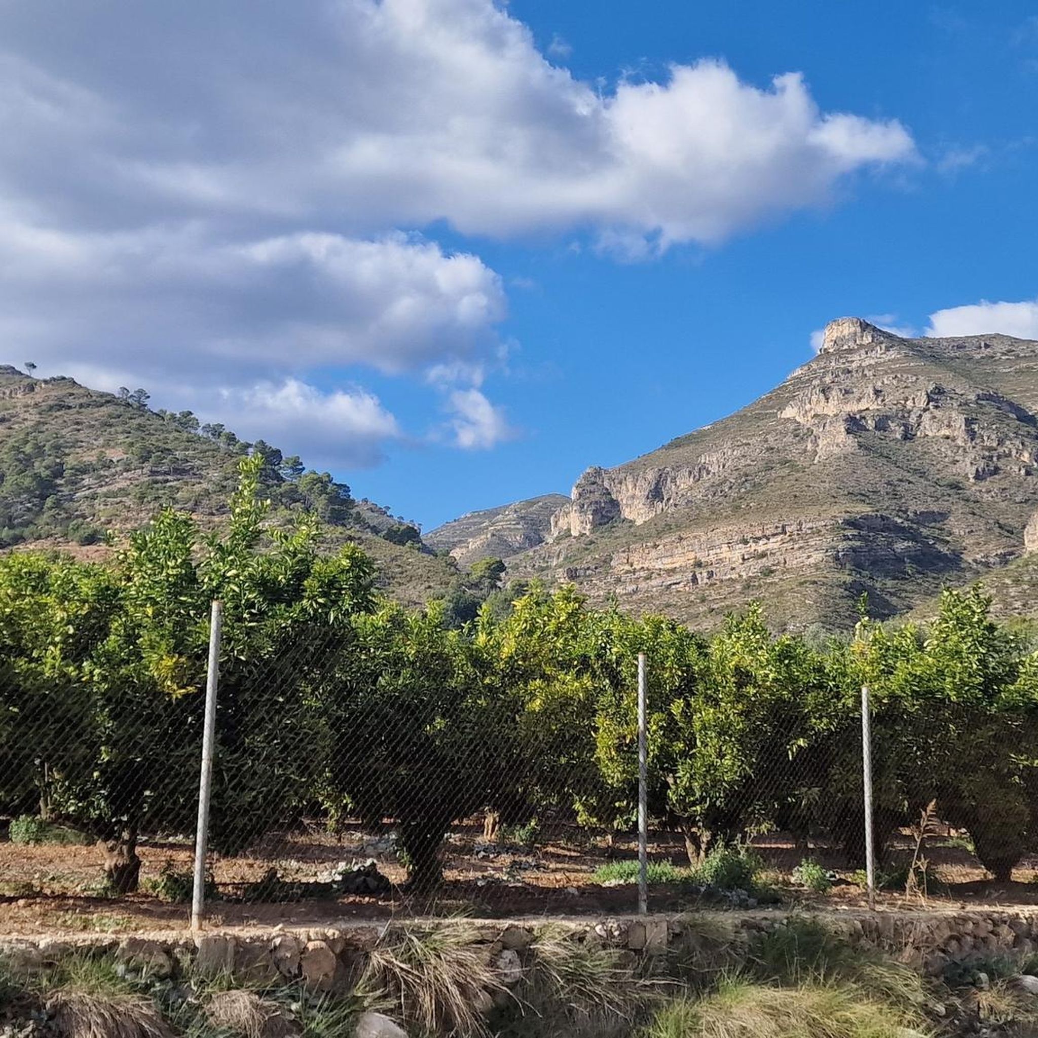

Tips from the Community

From the TOP of the mountain one can have great view of La SAFOR and MARINA ALTA areas (nice view of Gandia and Oliva towns). Unfortunately, due to very rich vegetation (high trees) it is not possible to enjoy a 360 degree view similar to option which one has by hiking up Montuver mountain. Short video about this hike could be found under the following link: https://www.youtube.com/watch?v=j-mfyWy6RzQ
1
0
significant advantage of this route is that you can choose the difficulty of the conditions of ascent or descent. An asphalt road leads directly to the top.
2
0

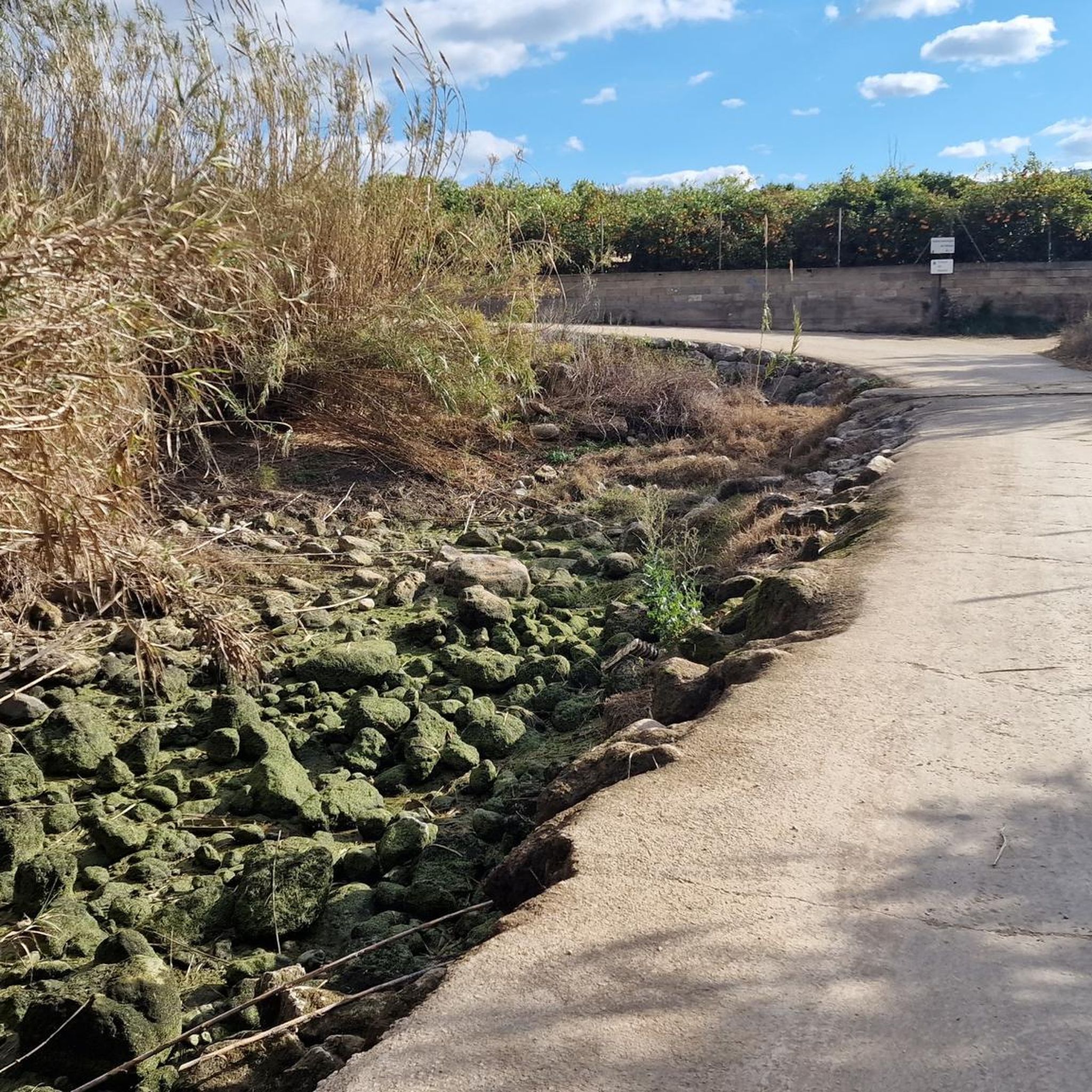
The start of the hike is a bit frightening due to the location (rainwater drainage basins and dog excrement), but after 500 m you go into nature. The hike is well signposted and easy to do with sturdy shoes.
2
1

Molló de la Creu, also called Molló de la Falconera or V.G. de la Falconera is one of the places that every person who is in Gandía should visit. The viewpoint offers us spectacular views, we can see the impressive Cim de Mondúver and the coast of Gandía on the other side. You can return to Gandía along the same path or, if you are an experienced hiker, take the circular route, but keep in mind that the descent is very steep.
3
0

Steep climb. Will be rewarded with a great view
1
0

On route PR-V 153. El Cim del Mondúver from Xeresa.
11
0
The PR-CV 347 trail, known as Ruta dels Assagadors and Cim de Covatelles, is a beautiful trail located in the Font d'en Carròs.
12
0

The climbs of the crest are exhausting, the summit is very close but it is hard to do. Finally, the climb ends at the ridge of the mountain, to the east of the summit and the mound of antennas that completely cover the top. You still have to turn right and walk a few meters along the edge of the massif to reach the enclosure. The path goes around the fence of the antennas and ends at the concrete service track of the telecommunications station. The Mondúver offers an extraordinary panoramic view of the mountains of La Safor, the villages of La Marxuquera and the coast of the Gulf of Valencia. The mountain route continues down the concrete track that climbs to the top from La Drova and Barx, makes the first hairpin and turns to the left by the posts of the short-distance trail.
3
0
Frequently Asked Questions
What are some of the most popular mountain peaks to explore around Rótova?
Among the most popular peaks, you'll find Mondúver summit, known for its panoramic views of the province of Valencia. Another favorite is Covatelles Summit, accessible via the well-signposted PR-CV 347 trail. For a more challenging climb, Cim de la Safor (1,013 m) offers extensive views of the La Safor and Marina Alta areas.
What is the highest mountain peak in the Rótova area?
The highest point within the municipality of Rótova is Cerro del Agua (Aigua), standing at 590 meters. It's located in the far northwest of the region, contributing to the area's mountainous landscape.
Are there any viewpoints offering spectacular vistas in the Rótova mountains?
Yes, several peaks offer excellent viewpoints. Mondúver summit provides some of the best panoramic views in the province of Valencia. Additionally, Molló de la Falconera (also known as Molló de la Creu) offers spectacular views, including the impressive Cim de Mondúver and the coast of Gandía.
What is the best time of year to go hiking in the Rótova mountains?
Rótova experiences a Mediterranean climate, making it generally pleasant for outdoor activities throughout much of the year. Spring and autumn typically offer the most comfortable temperatures for hiking, avoiding the peak heat of summer.
Are there challenging mountain climbs available for experienced hikers?
Absolutely. Peaks like Mondúver summit involve significant physical effort due to steep slopes, with some ramps reaching 21%. Cim de la Safor (1,013 m) is also considered a challenging summit with a steep climb, rewarding hikers with great views.
What other outdoor activities can I do near the mountain peaks of Rótova?
Beyond hiking, the Rótova area is excellent for various outdoor sports. You can find numerous road cycling routes, including challenging loops like 'El Monduver — Circular from Gandia through La Drova and Barx ports'. There are also many MTB trails, such as the 'Serra de Quatretonda and El Surar Loop', and gravel biking options like the 'Serpis River – Azud del Infierno or del Forn loop'. For more details, explore the Road Cycling Routes around Rótova, MTB Trails around Rótova, and Gravel biking around Rótova guides.
Are there any specific hiking trails recommended for intermediate hikers?
Yes, for intermediate hikers, the PR-CV 347 trail, also known as Ruta dels Assagadors, provides access to Covatelles Summit. This trail is well-signposted and offers a good experience for those with moderate fitness. Molló de la Falconera also features intermediate sections.
What kind of natural features can I expect to see while exploring the peaks?
The mountainous terrain around Rótova is rich in natural beauty. You'll encounter diverse vegetation, scenic countryside, and impressive rock formations. Some areas, like Cim de la Safor, even feature caves and are designated natural monuments.
Is there rock climbing available in the Rótova area?
Yes, Rótova is known to have a crag suitable for rock climbing. It offers approximately 30 routes with a range of grades and easy access, making it an appealing spot for climbers, even in blustery conditions.
What do visitors appreciate most about the mountain peaks around Rótova?
Visitors frequently highlight the rewarding panoramic views from summits like Mondúver summit, which are considered comforting after a challenging ascent. The well-signposted trails and the opportunity to immerse oneself in nature are also highly valued by the komoot community.
Are there any forest huts or shelters available on the mountain trails?
Yes, you can find the Monduver forest hut on top of Monduver. This hut offers amazing views towards the road to the port of La Drova, the Marxuquera valley, and the Mediterranean coast from Cullera to Gandía.
Most popular attractions around Rótova

Get inspired with the komoot mobile app


Explore more
See even more amazing summits around Rótova with these guides:
