The 7 Most Amazing Peaks around Les Aires
Mountain peaks near Les Aires are primarily found within the Haut-Languedoc Regional Nature Park, offering diverse natural landscapes. Les Aires is a commune in the Hérault department of the Occitanie region in southern France, with elevations ranging up to 640 meters. While the immediate commune has lower elevations, the surrounding region features notable summits like Mont Caroux, which rises to over 1000 meters. The area provides opportunities for exploring rugged hills, winding valleys, and forests.
Best mountain peaks around Les…
Last updated: July 6, 2026
Orientation table at Mont Caroux
Highlight • Viewpoint
Translated by Google •
Tip by

Exceptional panorama
Highlight • Summit
Translated by Google •
Tip by

Sign up now to discover places like this
Get recommendations on the best single tracks, peaks, & plenty of other exciting outdoor places.
Sign up for free
Naudech
Highlight • Summit
Translated by Google •
Tip by

From the summit of Caroux to the Douch parking lot
Highlight (Segment) • Trail
Translated by Google •
Tip by

Coquillade Peak
Highlight • Summit
Translated by Google •
Tip by

Sign up for free to discover even more peaks around Les Aires.
Sign up for free
Already have an account?
Start today with a free account
Your next adventure awaits.
Login or Signup

Tips from the Community

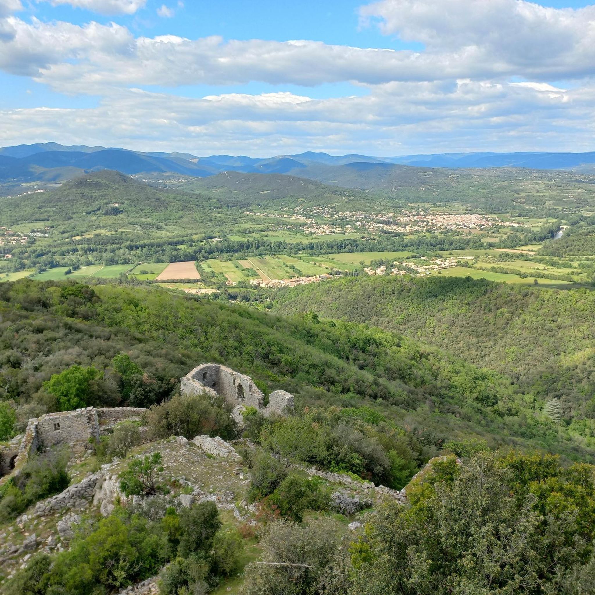
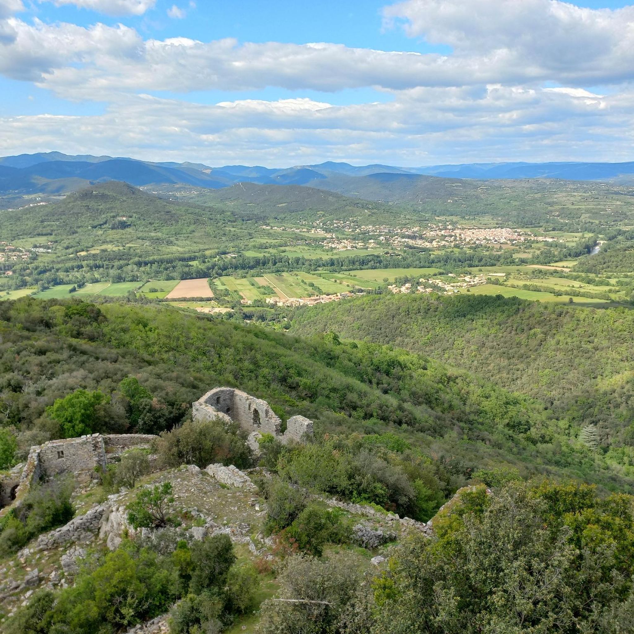
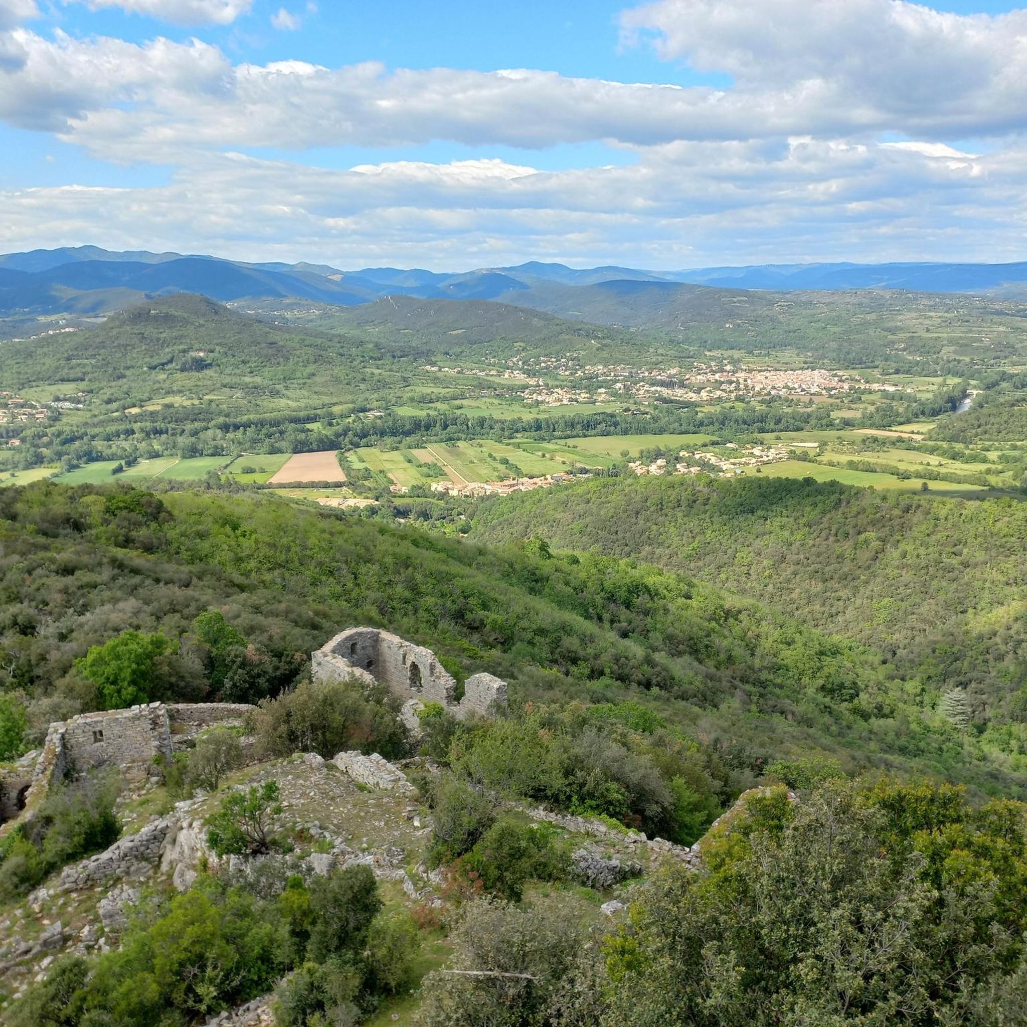
Above Saint-Martin-de-l'Arçon, a superb view unfolds over the valley and surrounding hills. Choose a sunny day with clear skies to fully appreciate its beauty!
0
0

Great views at the summit
0
0
Superb views as far as Canigou on a clear day!
0
0
A pleasant gravel route to reach its summit (690m). Clear view of the Orb valley and the Caroux-Espinouse massif.
1
0

Very pretty path which goes up to the Caroux tower (1090 m)
0
0
Very beautiful view from the orientation table. The different landscapes crossed to get there are magnificent
1
0

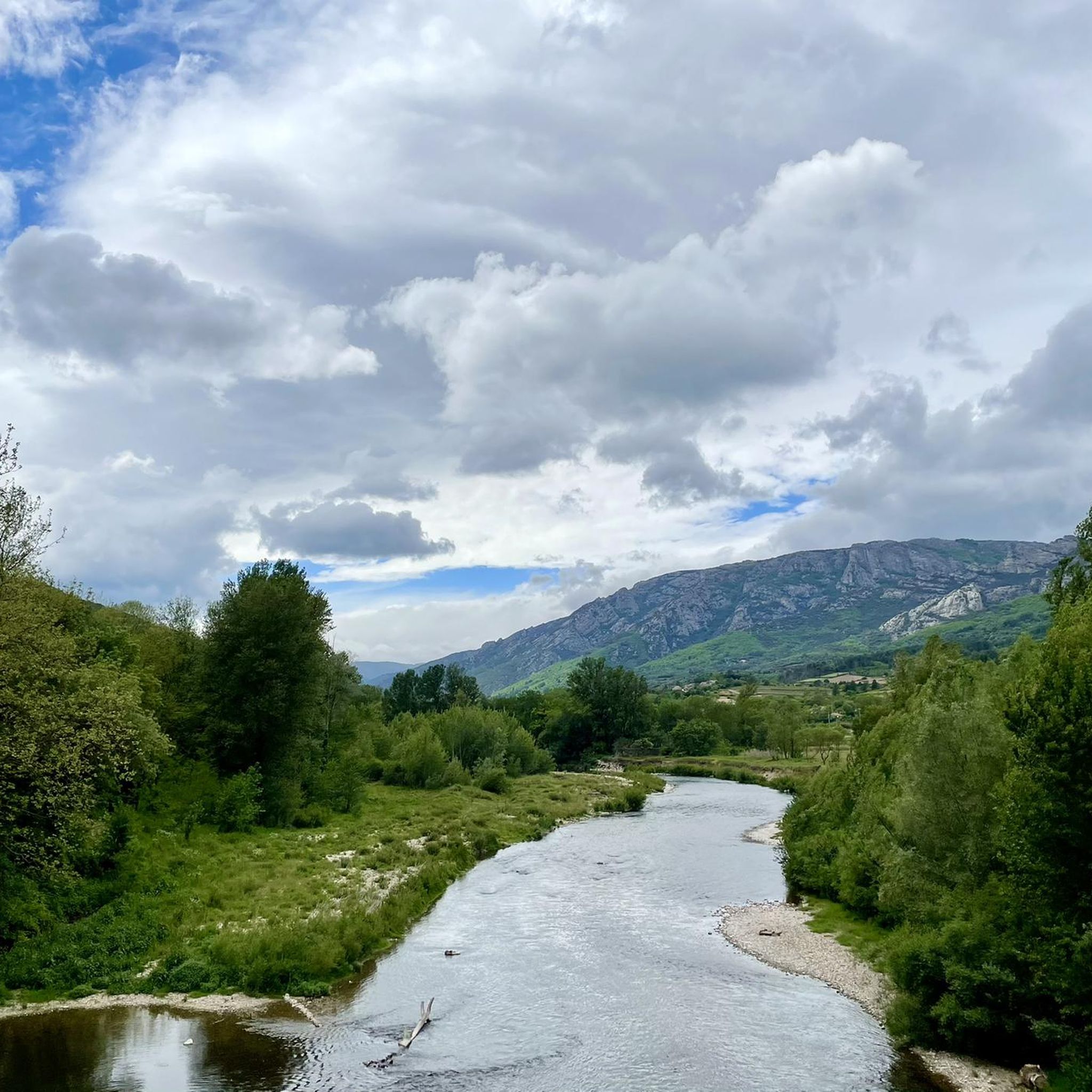
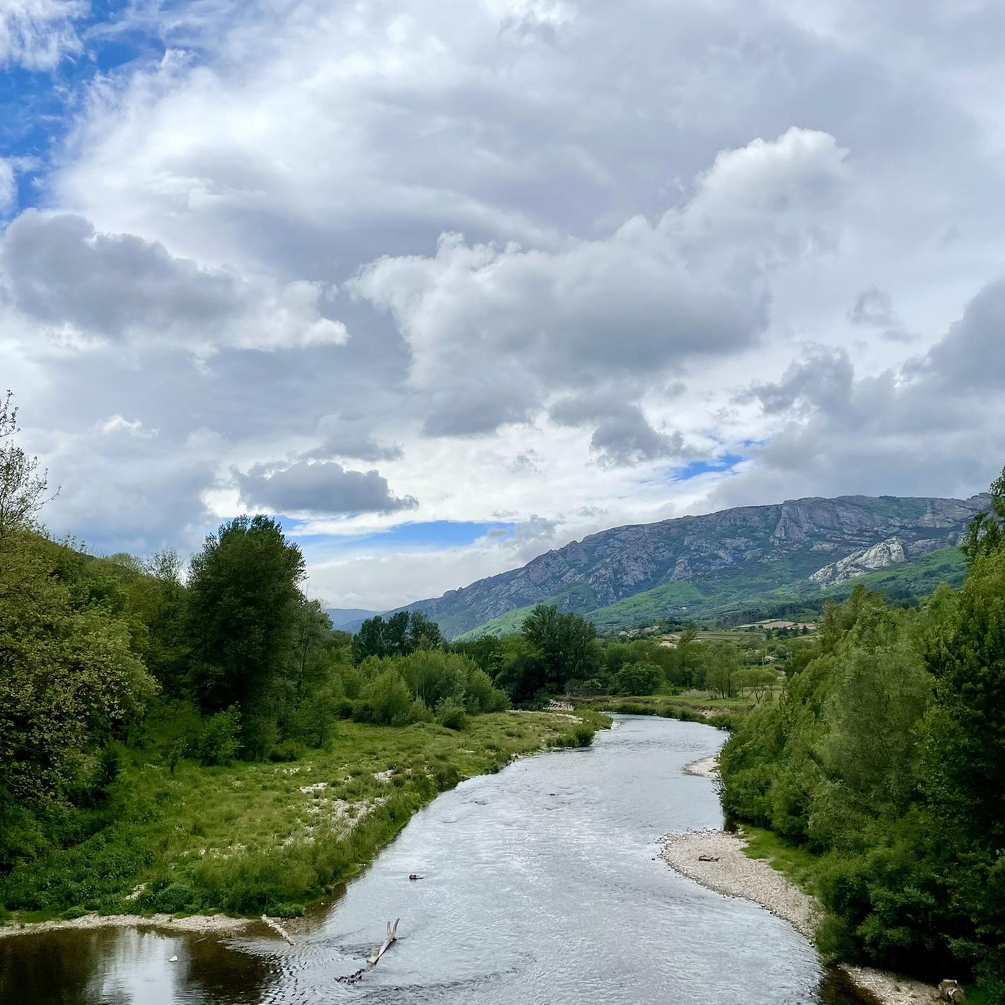
The slopes of the Rocher de Lucet, overlooking Saint-Martin-de-l'Arçon, offer you an exceptional panorama of the Haut-Languedoc Regional Nature Park. From these rocks, you can appreciate the vast expanses of rugged hills, winding valleys and forests that stretch to the horizon. The Orb meanders through the landscape, carving a path through the greenery, while Mont Caroux stands majestically in the distance.
3
0

At the intersection, take the path on the left and climb up to the edge of the beech forest. Reach the tower (highest point of the Caroux plateau, at 1,091 m) and continue along the path that goes down. Follow the track on the right. In two wide bends (viewpoint on the right over the Graissessac mining basin, the watchtower of the Rosis mountain, the Aret mountain and the wind farm of the Espinouse mountain), it leads back to the car park.
0
0
Frequently Asked Questions
What are the most scenic viewpoints around Les Aires?
For breathtaking vistas, visit the Orientation table at Mont Caroux, which offers wonderful distant views from about 1100 meters altitude. Another must-see is the Exceptional panorama overlooking Saint-Martin-de-l'Arçon, where you can see vast expanses of rugged hills and forests, with views extending to Canigou on clear days.
Which peaks offer 360-degree panoramic views?
The summit of Naudech provides an exceptional 360° panoramic view, stretching from Caroux all the way to the Mediterranean Sea. On a very clear day, you might even catch a glimpse of the Pic du Canigou in the Pyrenees.
What kind of terrain can I expect on mountain trails near Les Aires?
The region around Les Aires, particularly within the Haut-Languedoc Regional Nature Park, features diverse terrain. You'll encounter rugged hills, winding valleys, and forests. Trails can range from intermediate climbs to more challenging paths, often leading to summits and viewpoints.
Are there specific hiking routes I can explore near these peaks?
Yes, there are several hiking opportunities. For mountain hikes, you can find routes like the 'Gîte d'étape de La Fage loop from Colombières-sur-Orb' or the 'Col de Bardou loop from Réserve biologique dirigée de l'Espinouse'. You can find more details on these and other routes in the Mountain Hikes around Les Aires guide.
What other outdoor activities are available besides hiking?
Beyond hiking, the area offers excellent opportunities for running and mountain biking. For runners, routes like the 'Coquillade Peak loop from Les Aires' are popular. Mountain bikers can enjoy trails such as 'Le Bitoulet – Col des Princes loop from Lamalou-les-Bains'. Explore more options in the Running Trails around Les Aires and MTB Trails around Les Aires guides.
What are the typical elevations of peaks in the Les Aires region?
While the commune of Les Aires itself has elevations up to 640 meters, the surrounding region, especially within the Haut-Languedoc Regional Nature Park, features higher summits. For example, Mont Caroux rises to over 1000 meters, with viewpoints like the Orientation table at approximately 1100 meters altitude.
What natural features can I expect to see while exploring the peaks?
You can expect to see diverse natural landscapes typical of the Haut-Languedoc Regional Nature Park. This includes rugged hills, deep valleys, dense forests, and the meandering Orb river. Many viewpoints offer expansive views of this varied terrain.
Are there any trails that lead to the highest points of the Caroux massif?
Yes, the trail 'From the summit of Caroux to the Douch parking lot' is a notable route. It leads up to the Caroux tower, which is the highest point of the Caroux plateau at 1,091 meters, offering views over the Graissessac mining basin and other surrounding mountains.
What do visitors enjoy most about the mountain peaks near Les Aires?
Visitors particularly appreciate the stunning panoramic views and the diverse natural landscapes. Highlights like the Orientation table at Mont Caroux and Naudech are highly rated for their exceptional vistas. The area's rugged hills and winding valleys also provide a sense of exploration and natural beauty.
Is there a peak that offers clear views of the Orb valley?
Yes, Coquillade Peak, which culminates at 690 meters, offers a magnificent and clear view of the Orb valley and the Caroux-Espinouse massif.
When is the best time to visit the peaks around Les Aires for outdoor activities?
The Occitanie region generally enjoys a Mediterranean climate. Spring and autumn are often ideal for outdoor activities, offering pleasant temperatures for hiking, running, and mountain biking without the intense heat of summer. Always check local weather conditions before your visit.
Are there any circular walks available in the area?
Yes, many routes in the region are designed as loops, allowing for circular walks. For example, the 'Gîte d'étape de La Fage loop from Colombières-sur-Orb' is a popular mountain hike, and the 'Coquillade Peak loop from Les Aires' is a running trail. These loops offer varied scenery and return you to your starting point.
Most popular routes around Les Aires
Most popular attractions around Les Aires

Get inspired with the komoot mobile app


Explore more
See even more amazing summits around Les Aires with these guides:
