The 3 Most Amazing Peaks around Hettlingen
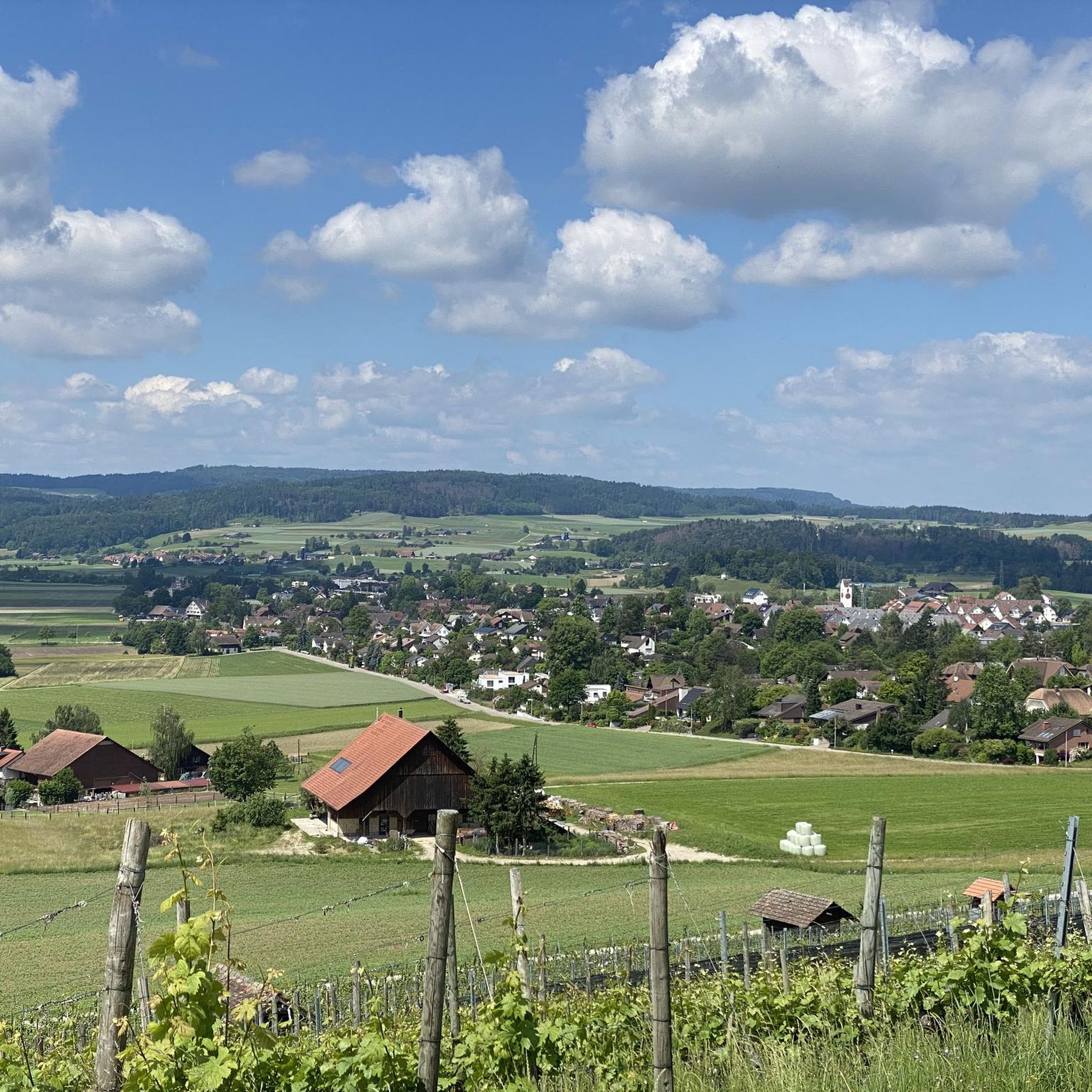
Mountain peaks around Hettlingen are characterized by a hilly, glacially formed landscape, with elevations ranging from approximately 419 to 517 meters above sea level. While traditional high mountain peaks are not within Hettlingen's immediate municipal boundaries, the region offers elevated points providing extensive panoramic views. The Geodetic Center of the Canton of Zurich, located nearby, is a notable natural monument offering vistas of the distant Alps and the Black Forest. This area provides opportunities for exploring viewpoints and modest summits…
Last updated: October 11, 2026
Lookout
Highlight • Viewpoint
Translated by Google •
Tip by

Eschenberg Tower
Highlight • Monument
Translated by Google •
Tip by

Sign up now to discover places like this
Get recommendations on the best single tracks, peaks, & plenty of other exciting outdoor places.
Hurbig
Highlight • Viewpoint
Translated by Google •
Tip by

Hohen-Tüfen Castle Site
Highlight • Historical Site
Translated by Google •
Tip by

Highest Point of Winterthur (Hulmen, 687 m)
Highlight • Summit
Translated by Google •
Tip by

Sign up for free to discover even more peaks around Hettlingen.
Already have an account?
Start today with a free account
Your next adventure awaits.
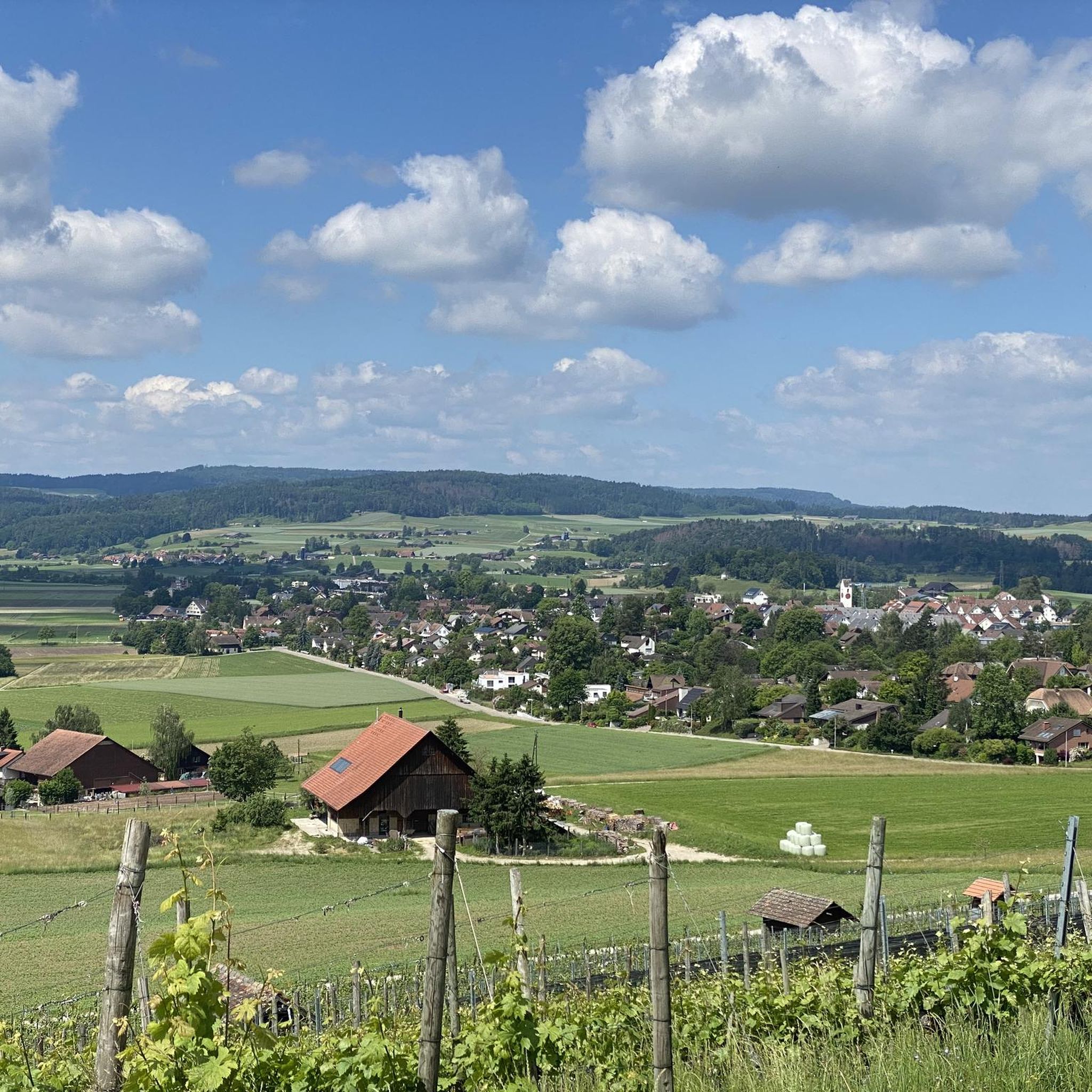
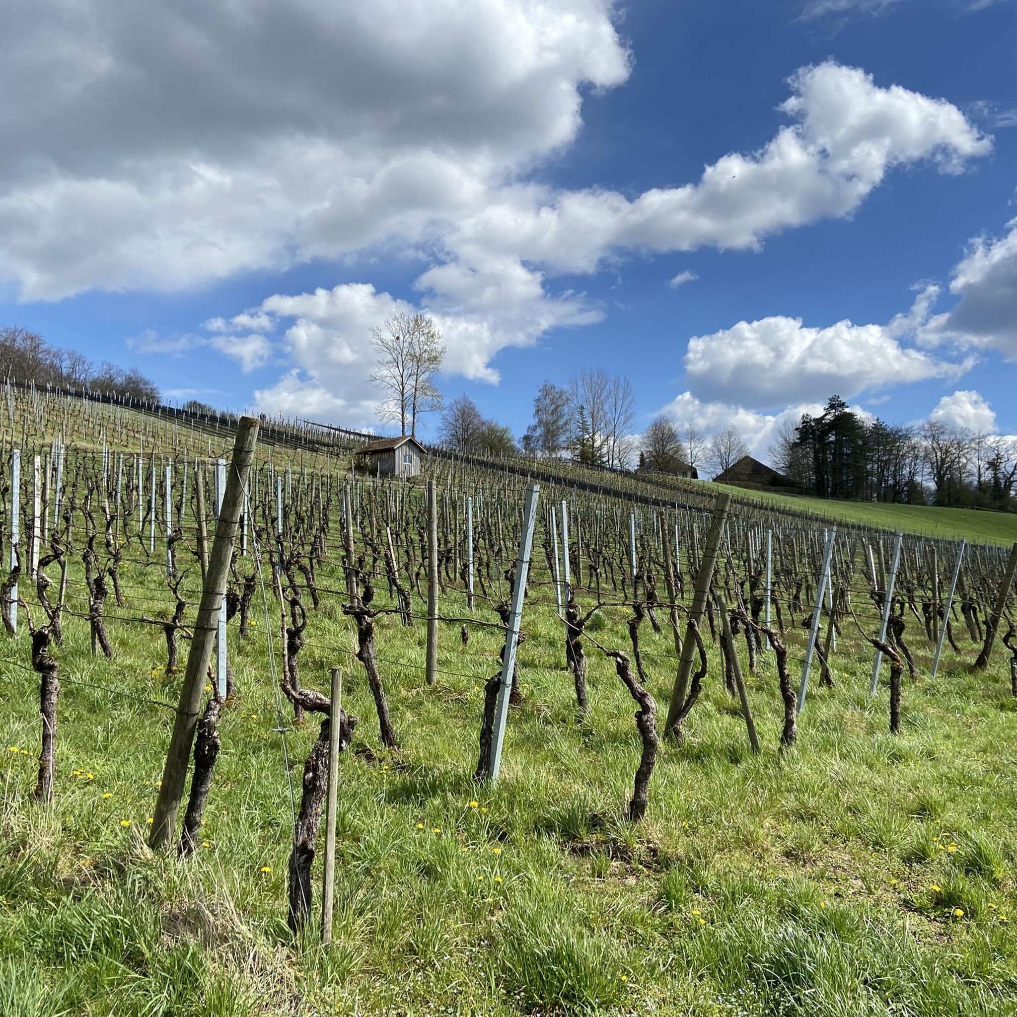
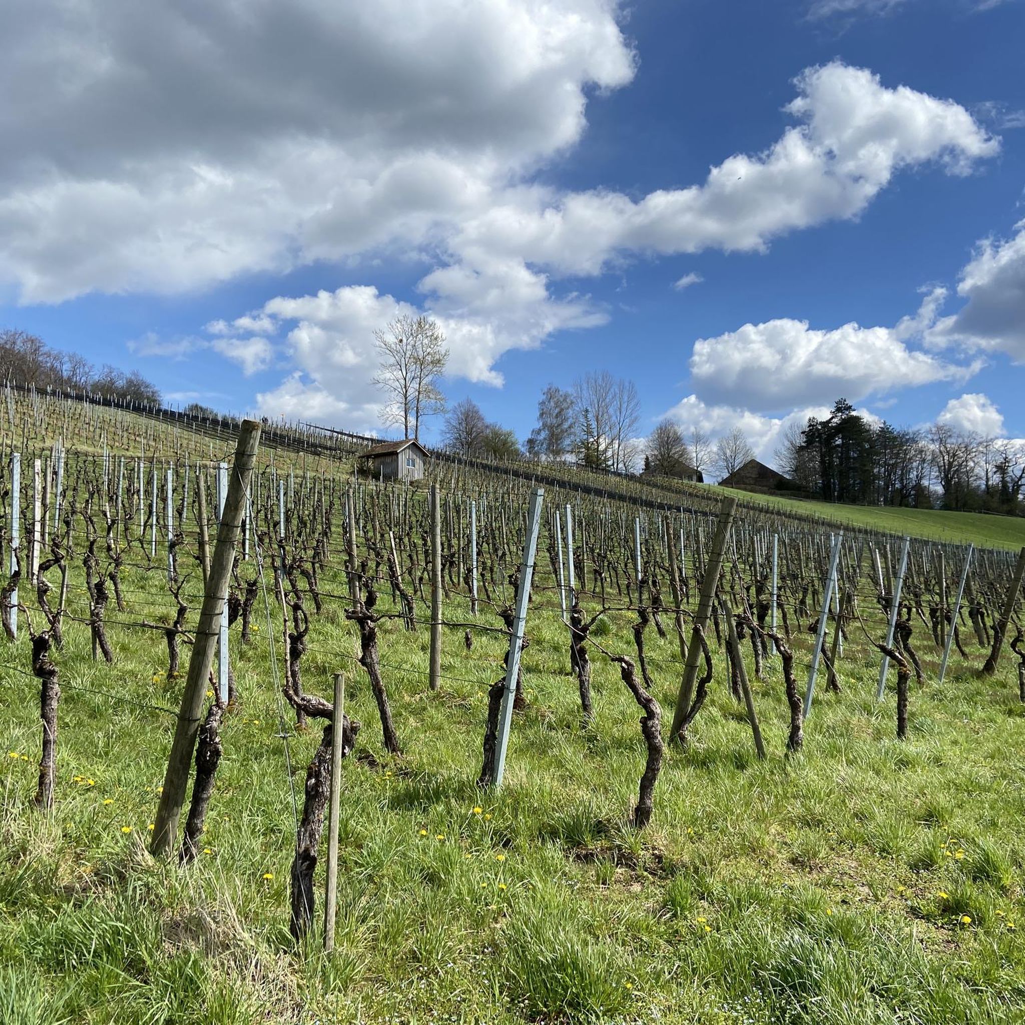
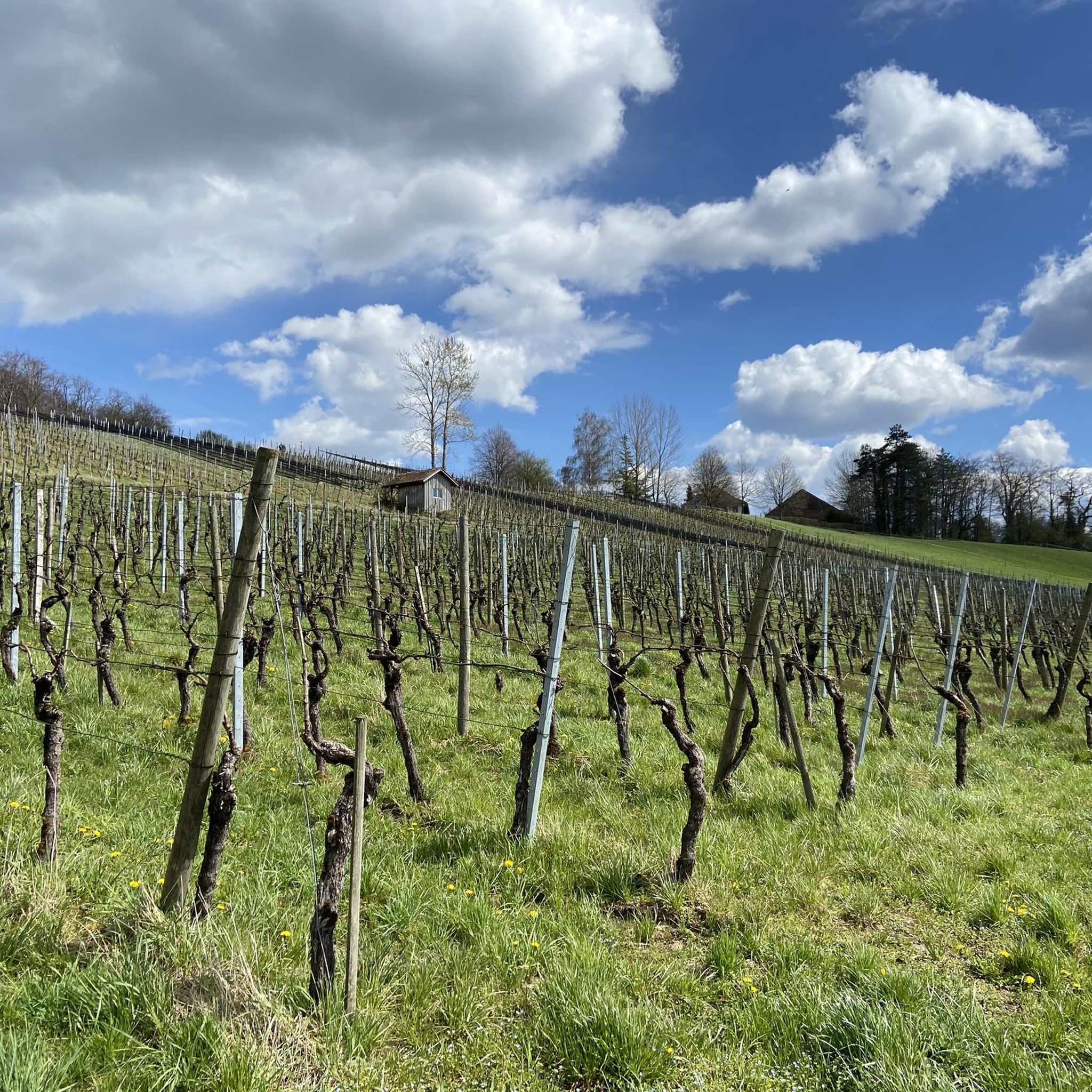

Tips from the Community

Great view with barbecue area, can be easily connected to the Irchelturm.
3
0

From the 31.5 meter high steel construction from 1888 you have a great view over Winterthur and the local recreation area Stadtwald Eschenberg. You can reach the viewing platform via 167 steps. If the visibility is good, you can see the Alps from here.
1
0

The highest forest in the area of the city of Winterthur is on the Hulmen. And right in the middle, at 687 meters above sea level, is the highest point in the city.
5
0


From the tower you have a view of the Hegau
3
0

You have a great view from the tower, when the weather is nice, the Alps are close enough to touch
4
0
Frequently Asked Questions
What are the most popular viewpoints around Hettlingen?
The region around Hettlingen offers several popular elevated spots. The Hochwacht Irchel viewpoint is highly regarded for its views towards Eglisau and Buchberg. Another favorite is the Eschenberg Tower, a man-made structure providing extensive views over Winterthur and, on clear days, the Alps.
Are there any historical sites among the peaks or viewpoints near Hettlingen?
Yes, the Hochwacht Irchel viewpoint has historical significance, as it was part of a high-level alarm system during the Roman period. Additionally, the Hohen-Tüfen Castle Site, though now a ruin, marks the location of a castle built around 1250 by the barons of Teufen.
Which locations offer the best panoramic views of the distant Alps?
While Hettlingen itself is not in a high mountain range, the nearby Geodetic Center of the Canton of Zurich (near Brütten) offers remarkable panoramic views on clear days, stretching across the Alps to include peaks like Säntis, Mönch, Eiger, and Jungfrau. The Eschenberg Tower can also provide views of the Alps when visibility is good.
Are there family-friendly mountain peaks or viewpoints to visit?
Yes, both the Hochwacht Irchel viewpoint and Hurbig are considered family-friendly. Hurbig, in particular, features a rest area with fireplaces and a playground nearby, making it suitable for families.
What is the highest point in the immediate vicinity of Hettlingen?
The Highest Point of Winterthur (Hulmen, 687 m) is a notable summit in the area. It is the highest point within the city of Winterthur, located in a forested area.
What outdoor activities can I do near these mountain peaks?
The region offers various outdoor activities. You can find numerous cycling routes, including touring bicycle routes like the 'Chlostergumpen Pond – Eigental Nature Reserve loop from Hettlingen' and road cycling routes. For mountain biking, there are trails such as the 'Hochwacht Irchel viewpoint – Irchel Tower loop from Henggart'. You can explore more options on the dedicated guides for Cycling around Hettlingen, Road Cycling Routes around Hettlingen, and MTB Trails around Hettlingen.
When is the best time to visit viewpoints like Hurbig?
The Hurbig viewpoint is particularly recommended in winter. During this season, with the trees bare, visitors can enjoy excellent, unobstructed views from its 546-meter altitude.
What do visitors enjoy most about the mountain peaks and viewpoints around Hettlingen?
Visitors frequently highlight the beautiful panoramic views, especially from spots like the Hochwacht Irchel viewpoint and Eschenberg Tower. The presence of rest areas and barbecue spots, such as at Hurbig, is also appreciated, allowing for relaxing breaks amidst nature.
Are there any other natural attractions near Hettlingen besides mountain peaks?
Yes, beyond the elevated viewpoints, the area offers other natural attractions. Husemer Lake is a nature reserve with accessible bike paths in certain areas. The Affenschlucht Waterfall, located behind the former spinning mill Hard in Wülflingen, also provides an impressive natural sight.
What kind of landscape can I expect around Hettlingen's elevated points?
The landscape around Hettlingen is characterized by a hilly, glacially formed terrain. While not featuring traditional high mountain peaks, it offers numerous elevated points and modest summits that provide diverse perspectives of the surrounding countryside.
Most popular routes around Hettlingen
Most popular attractions around Hettlingen

Get inspired with the komoot mobile app


Explore more
See even more amazing summits around Hettlingen with these guides:
